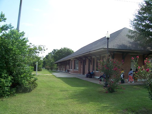
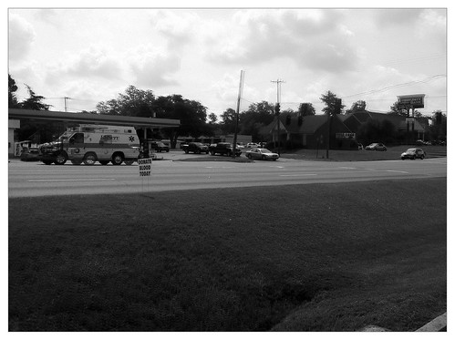
Elevation of Fernwood Drive, Fernwood Dr, Laurel, MS, USA
Location: United States > Mississippi > Jones County > Laurel >
Longitude: -89.136732
Latitude: 31.7157767
Elevation: 89m / 292feet
Barometric Pressure: 100KPa
Related Photos:
Topographic Map of Fernwood Drive, Fernwood Dr, Laurel, MS, USA
Find elevation by address:

Places near Fernwood Drive, Fernwood Dr, Laurel, MS, USA:
3 Highland Woods Dr
2010 N 6th Ave
Laurel
Luther Hill Rd, Ellisville, MS, USA
Sharon Moss Rd, Laurel, MS, USA
Hummingbird Drive
Antioch Drive
30 Wadsworth Rd, Ellisville, MS, USA
Ellisville
Clay Street
803 Howell St
35 Rocky Landing Dr, Ellisville, MS, USA
316 Duck Hill Rd
MS-, Laurel, MS, USA
Soso
MS-28, Soso, MS, USA
114 Co Rd 351a
Freedom Road
74 Co Rd, Heidelberg, MS, USA
46 Floyd Strickland Rd
Recent Searches:
- Elevation of Congressional Dr, Stevensville, MD, USA
- Elevation of Bellview Rd, McLean, VA, USA
- Elevation of Stage Island Rd, Chatham, MA, USA
- Elevation of Shibuya Scramble Crossing, 21 Udagawacho, Shibuya City, Tokyo -, Japan
- Elevation of Jadagoniai, Kaunas District Municipality, Lithuania
- Elevation of Pagonija rock, Kranto 7-oji g. 8"N, Kaunas, Lithuania
- Elevation of Co Rd 87, Jamestown, CO, USA
- Elevation of Tenjo, Cundinamarca, Colombia
- Elevation of Côte-des-Neiges, Montreal, QC H4A 3J6, Canada
- Elevation of Bobcat Dr, Helena, MT, USA


