Elevation of 74 Co Rd, Heidelberg, MS, USA
Location: United States > Mississippi > Jasper County > Heidelberg >
Longitude: -89.016767
Latitude: 31.8298487
Elevation: 106m / 348feet
Barometric Pressure: 100KPa
Elevation Map:
Satellite Map:
Related Photos:
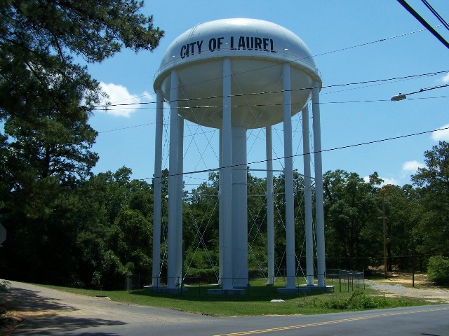
Mississippi 245

Monte Sano

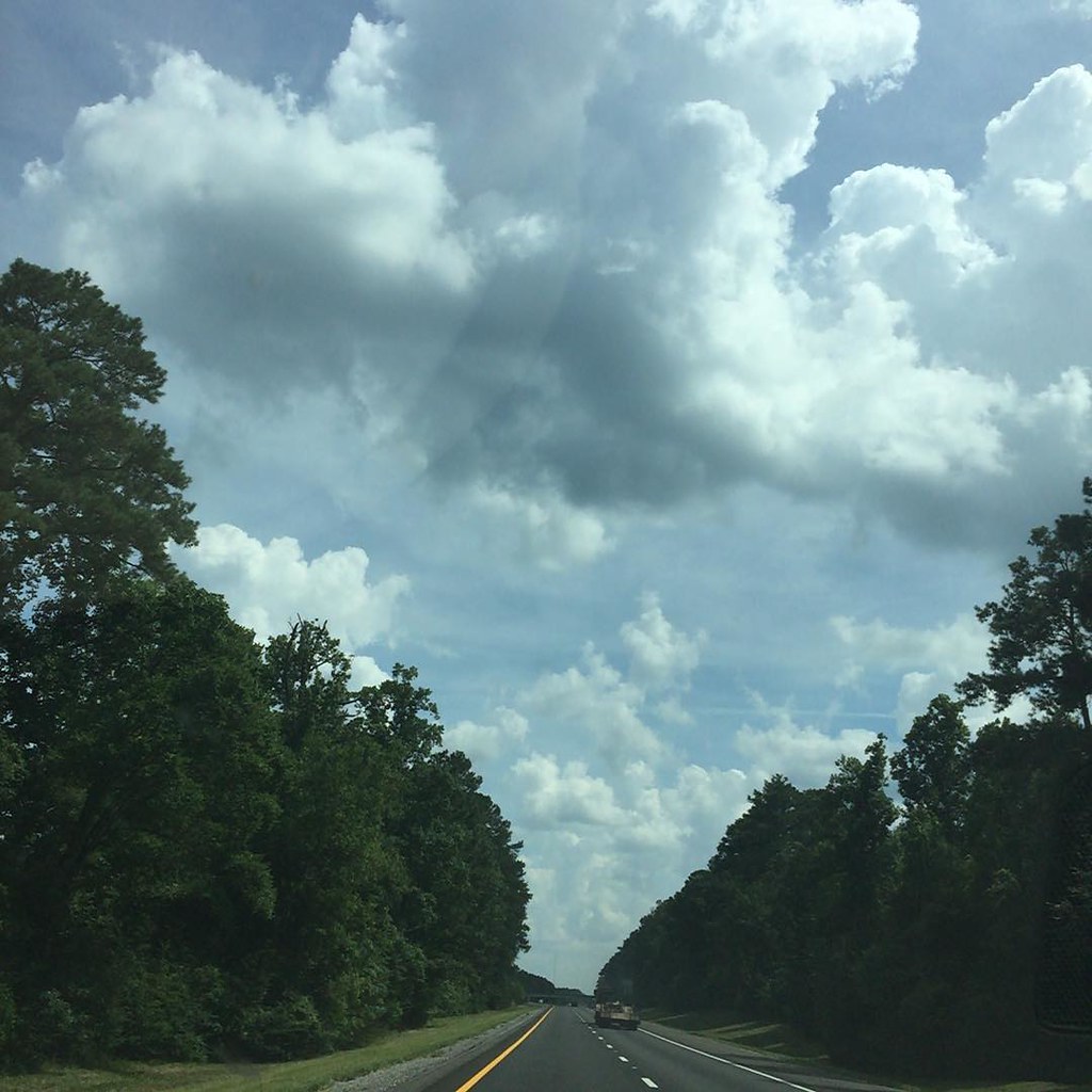
Sunset through trees

DSCN5464.mp4

Sister @honeynadams and I did some #picking in our Barn. These #burlap sacks have been up there for probably 40 years and some are in great shape. Fun!
Road trippin to #neworleans for work
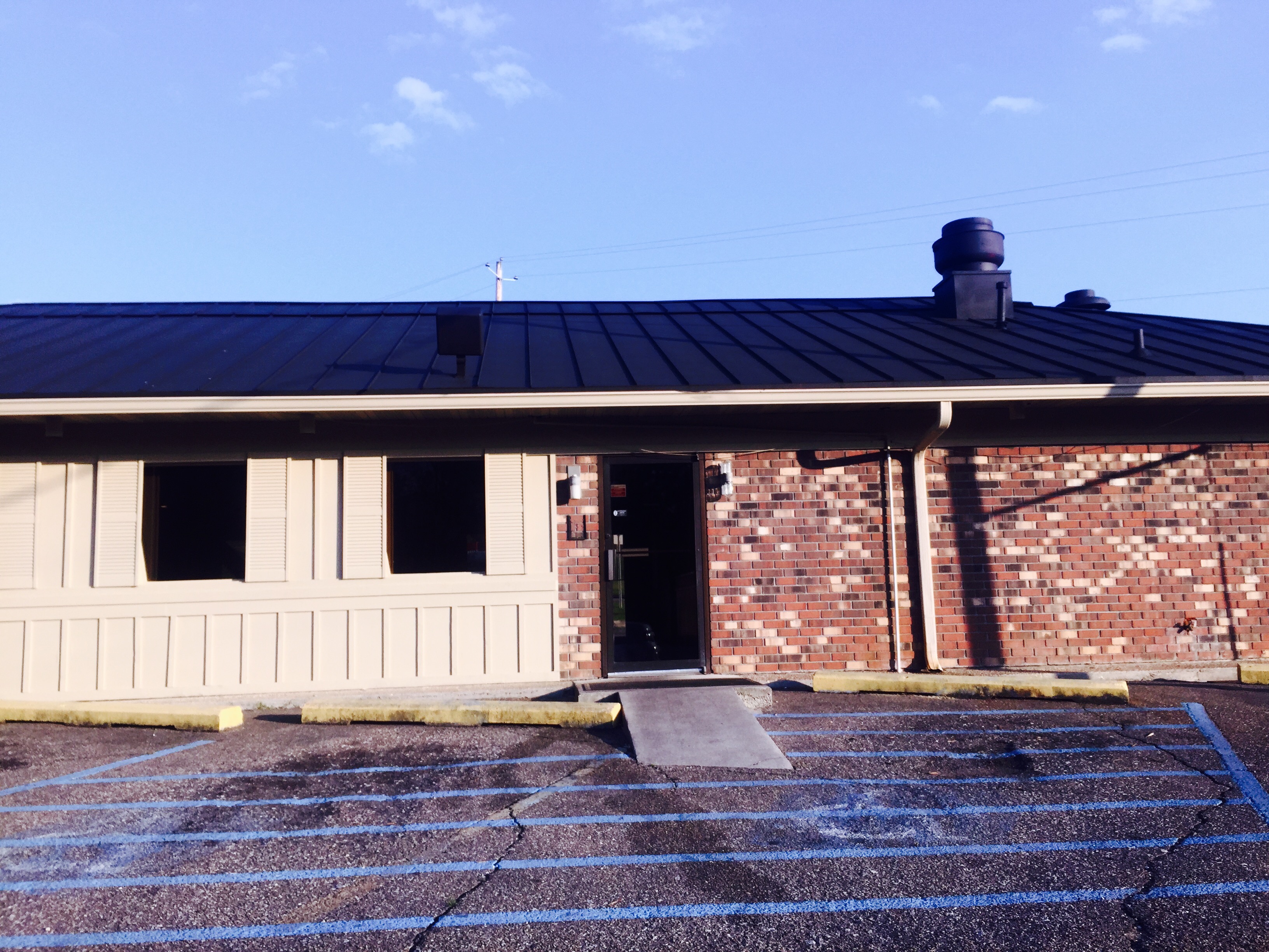
Former North Laurel #PIzzahut is now closed and been painted over; what does the future hold for this building, only time will tell.
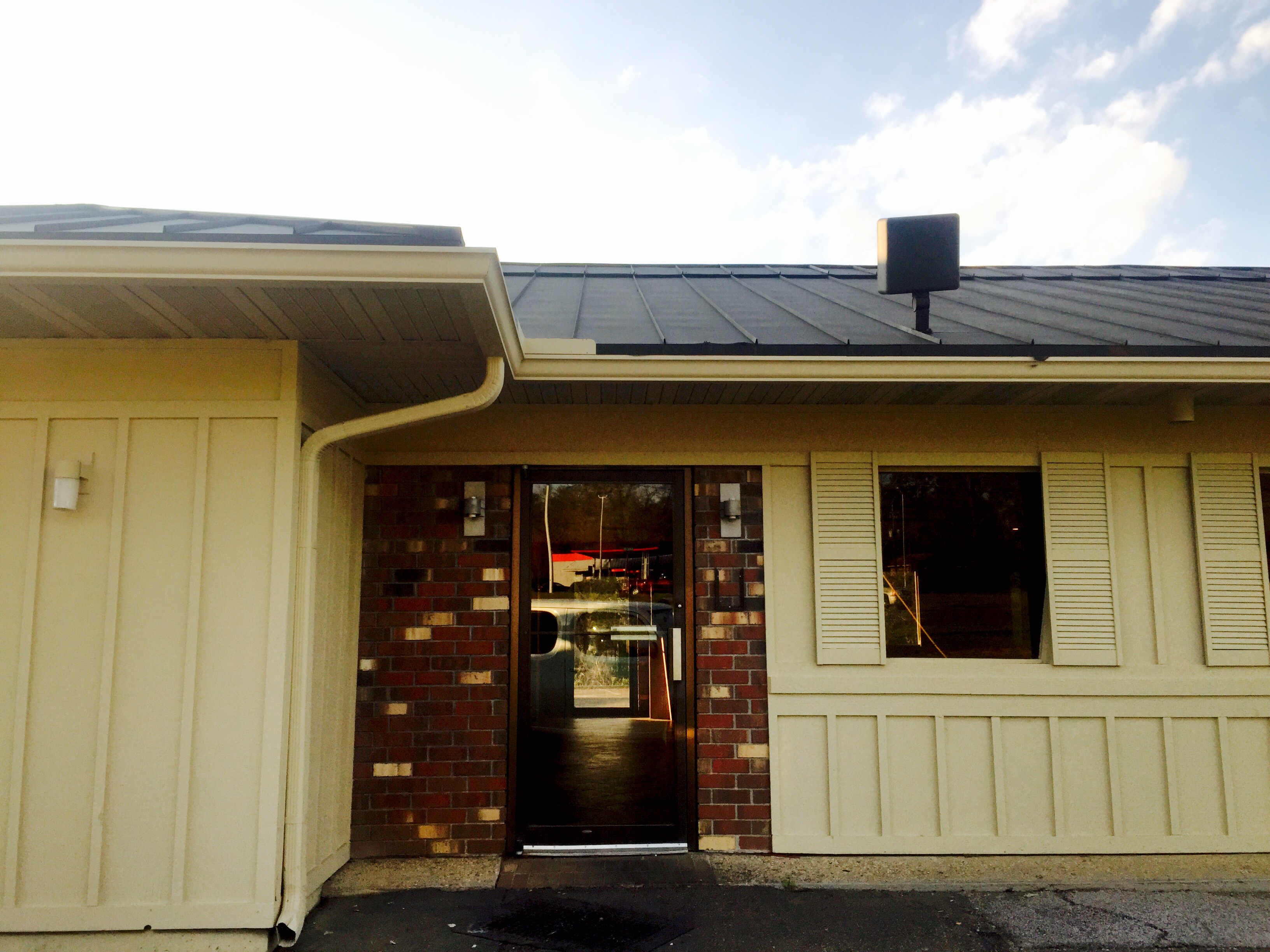
Former North Laurel #PIzzahut is now closed and been painted over; what does the future hold for this building, only time will tell.

Bambi, Thumper, & Flower

No trip to Laurel is complete with out touring the old haunted charity hospital!
Topographic Map of 74 Co Rd, Heidelberg, MS, USA
Find elevation by address:

Places near 74 Co Rd, Heidelberg, MS, USA:
114 Co Rd 351a
Heidelberg
Sharon Moss Rd, Laurel, MS, USA
US-11, Heidelberg, MS, USA
2010 N 6th Ave
Fernwood Drive
3 Highland Woods Dr
Laurel
Antioch Drive
Freedom Road
Co Rd, Bay Springs, MS, USA
Luther Hill Rd, Ellisville, MS, USA
N Pine Ave, Bay Springs, MS, USA
MS-, Laurel, MS, USA
Hummingbird Drive
52 Co Rd 17, Stringer, MS, USA
Stringer
Co Rd 29, Louin, MS, USA
316 Duck Hill Rd
30 Wadsworth Rd, Ellisville, MS, USA
Recent Searches:
- Elevation of Felindre, Swansea SA5 7LU, UK
- Elevation of Leyte Industrial Development Estate, Isabel, Leyte, Philippines
- Elevation of W Granada St, Tampa, FL, USA
- Elevation of Pykes Down, Ivybridge PL21 0BY, UK
- Elevation of Jalan Senandin, Lutong, Miri, Sarawak, Malaysia
- Elevation of Bilohirs'k
- Elevation of 30 Oak Lawn Dr, Barkhamsted, CT, USA
- Elevation of Luther Road, Luther Rd, Auburn, CA, USA
- Elevation of Unnamed Road, Respublika Severnaya Osetiya — Alaniya, Russia
- Elevation of Verkhny Fiagdon, North Ossetia–Alania Republic, Russia