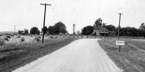
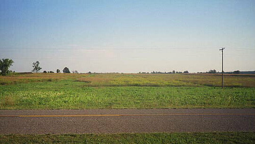
Elevation of Fayette, OH, USA
Location: United States > Ohio > Fulton County >
Longitude: -84.326892
Latitude: 41.6733839
Elevation: 241m / 791feet
Barometric Pressure: 98KPa
Related Photos:
Topographic Map of Fayette, OH, USA
Find elevation by address:

Places near Fayette, OH, USA:
County Rd 16-3, Wauseon, OH, USA
German Township
Dover Township
14302 Egypt Rd
Hudson Township
Main St, Wauseon, OH, USA
326 S Wood St
117 N Maple Grove Ave
Hudson
Michigan 34
Co Rd J, Wauseon, OH, USA
198 Buchanan St
24405 County Rd W
15300 Us-20 Alt
10230 Co Rd 14
Co Rd J, Wauseon, OH, USA
Fulton County
Clayton
16600 Beecher Rd
Fulton County Health Center
Recent Searches:
- Elevation of 6 Rue Jules Ferry, Beausoleil, France
- Elevation of Sattva Horizon, 4JC6+G9P, Vinayak Nagar, Kattigenahalli, Bengaluru, Karnataka, India
- Elevation of Great Brook Sports, Gold Star Hwy, Groton, CT, USA
- Elevation of 10 Mountain Laurels Dr, Nashua, NH, USA
- Elevation of 16 Gilboa Ln, Nashua, NH, USA
- Elevation of Laurel Rd, Townsend, TN, USA
- Elevation of 3 Nestling Wood Dr, Long Valley, NJ, USA
- Elevation of Ilungu, Tanzania
- Elevation of Yellow Springs Road, Yellow Springs Rd, Chester Springs, PA, USA
- Elevation of Rēzekne Municipality, Latvia


