Elevation of Co Rd 14, Wauseon, OH, USA
Location: United States > Ohio > Fulton County > Dover Township >
Longitude: -84.130675
Latitude: 41.621598
Elevation: 238m / 781feet
Barometric Pressure: 98KPa
Elevation Map:
Satellite Map:
Related Photos:
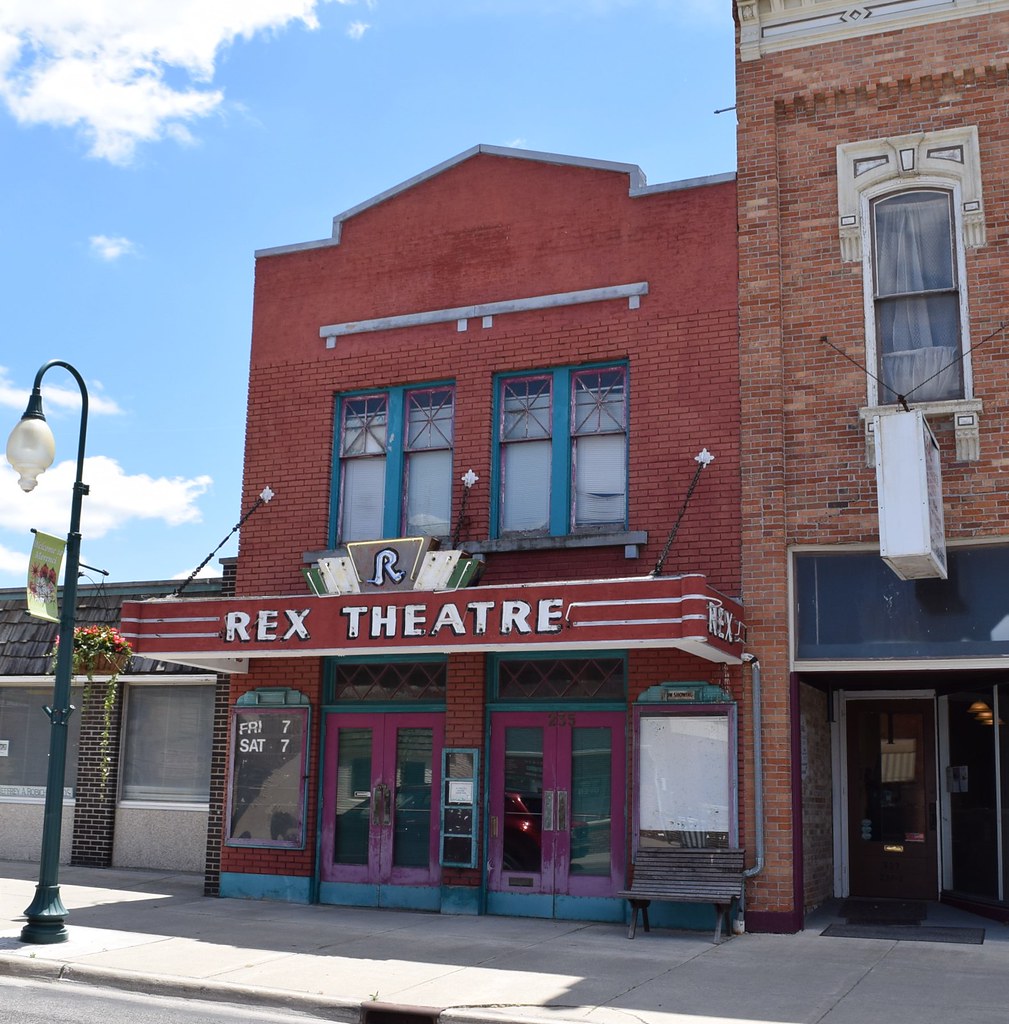
Rex Theatre in Morenci Michigan
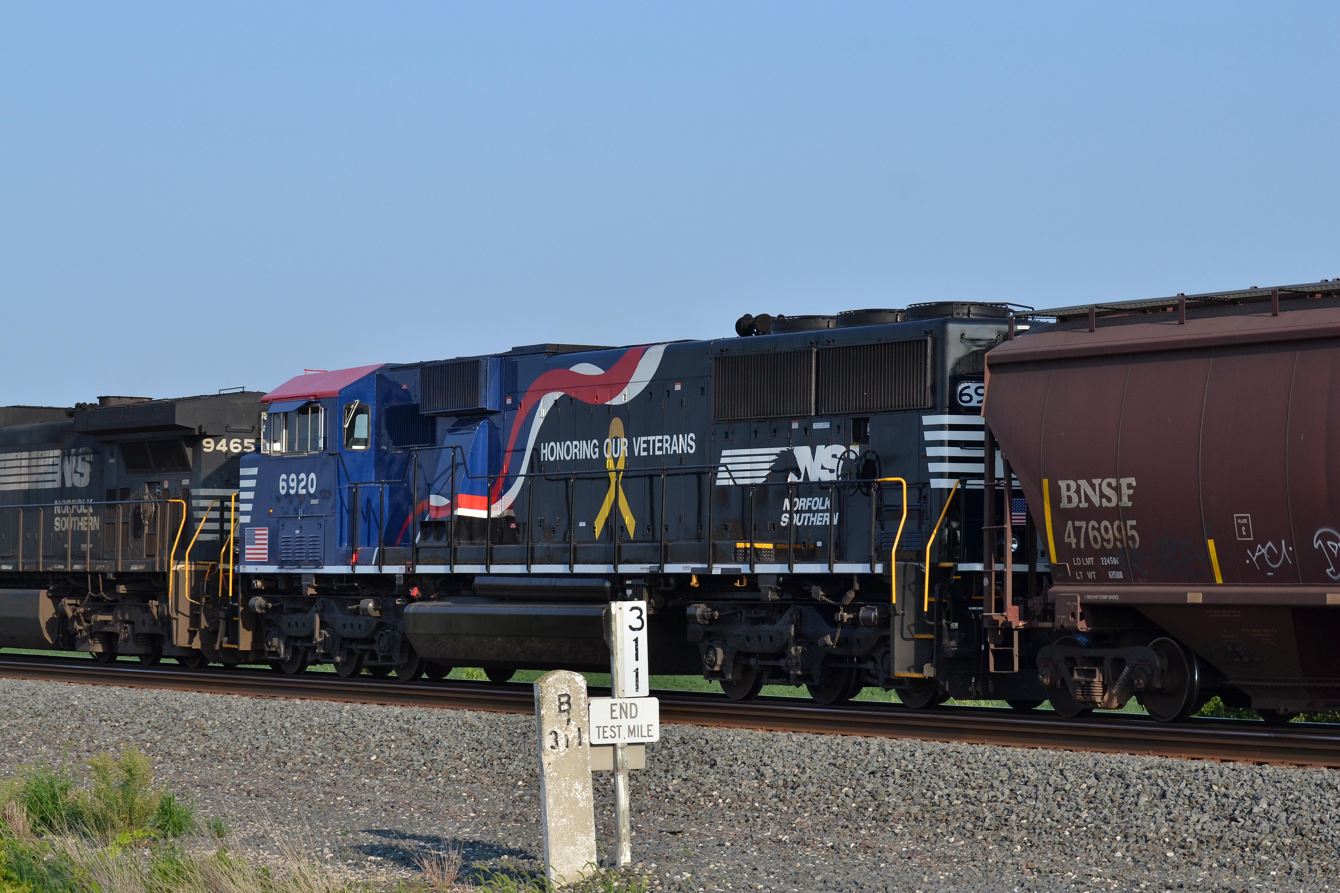
Finally a daylight view of 6920

country view.
Before we leave a Approach comes into view
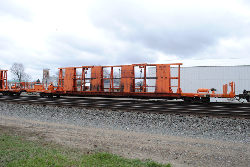
NS_Wauseon-OH_CP320_MOW-consist_041313-1
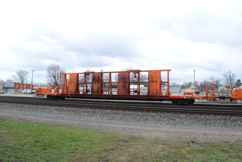
NS_Wauseon-OH_CP320_MOW-consist_041313-2

Our View of the Fireworks
NS_Wauseon-OH_CP320_NS901624_041313-1
NS_Wauseon-OH_CP320_NS901626_041313-1
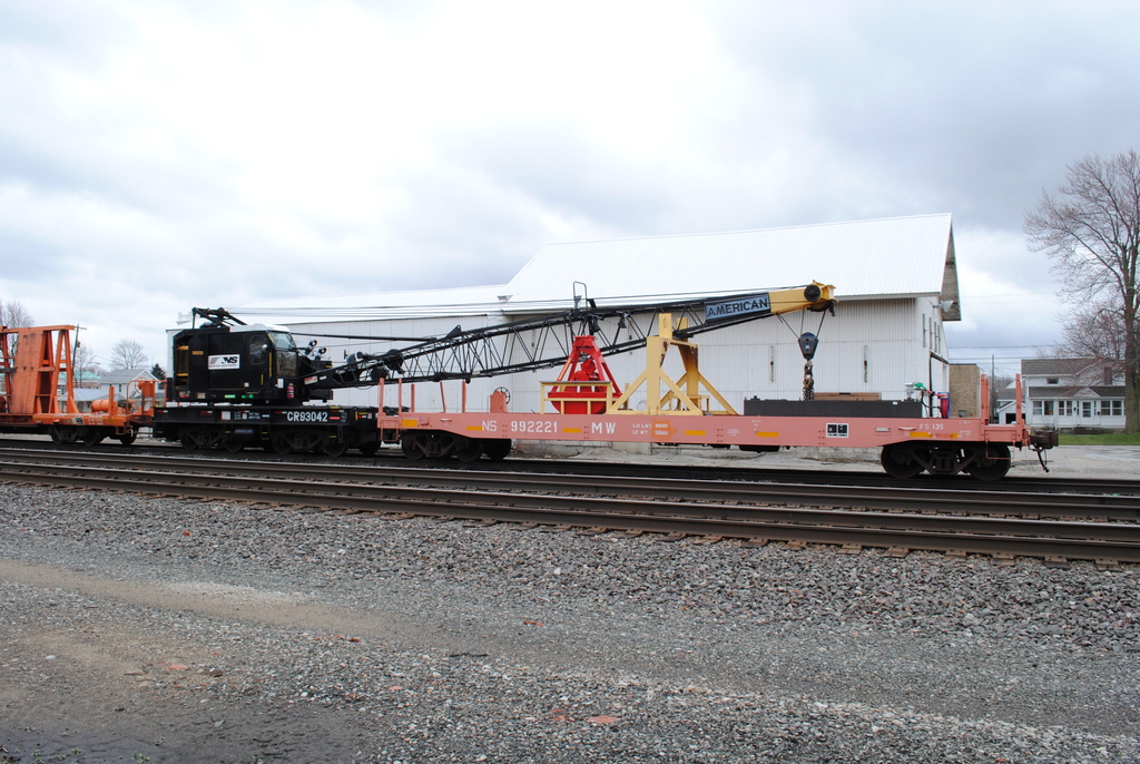
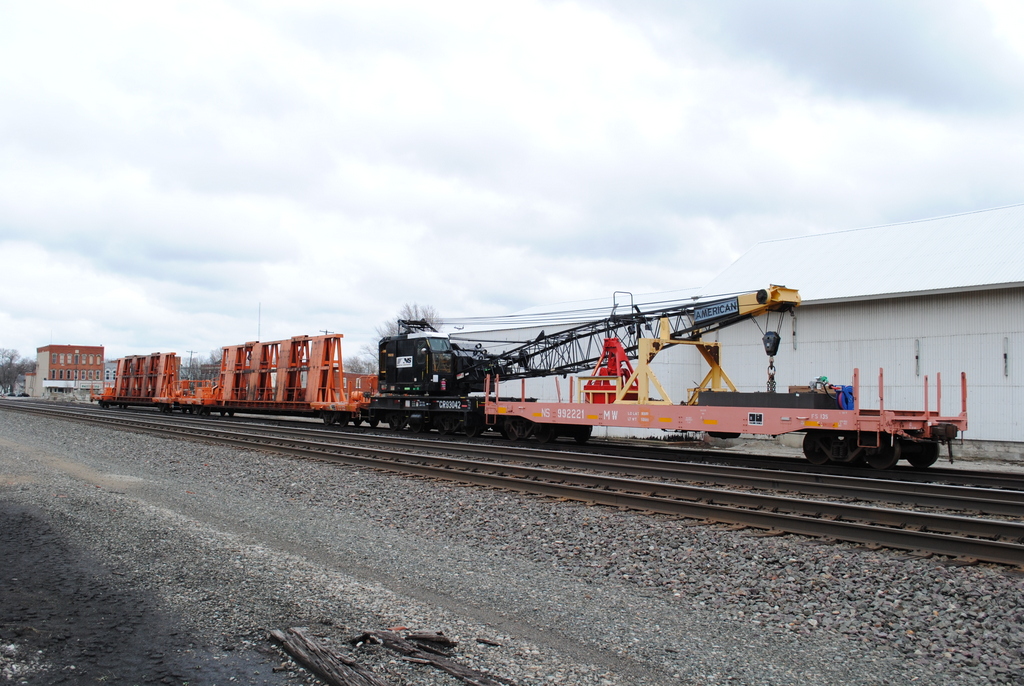
NS_Wauseon-OH_CP320_CR93402-NS922111_041313-1
NS_Delta-OH_B41_NS5186_091609-4
IORY_Delta-OH_Yard_NERX5678_091609-2
Getting back in the swing of things
NS_Delta-OH_B41_NS5186_091609-3
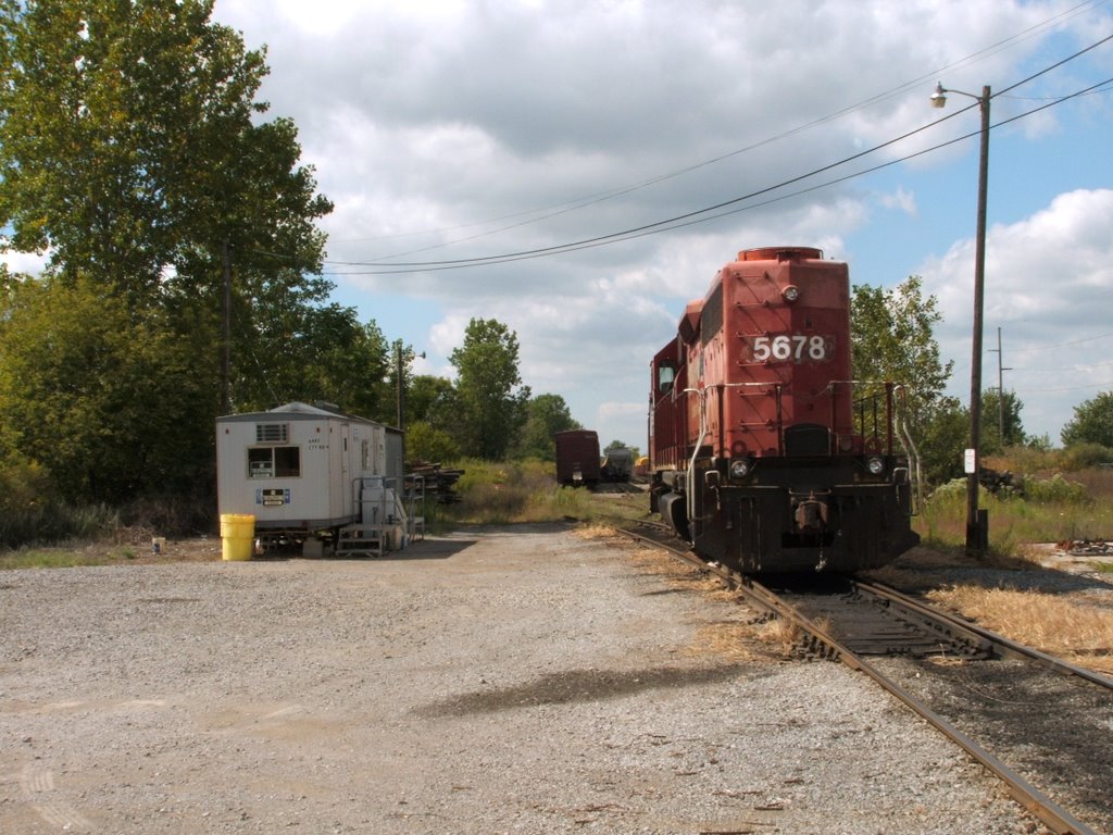
IORY_Delta-OH_Yard_NERX5678_091609-1
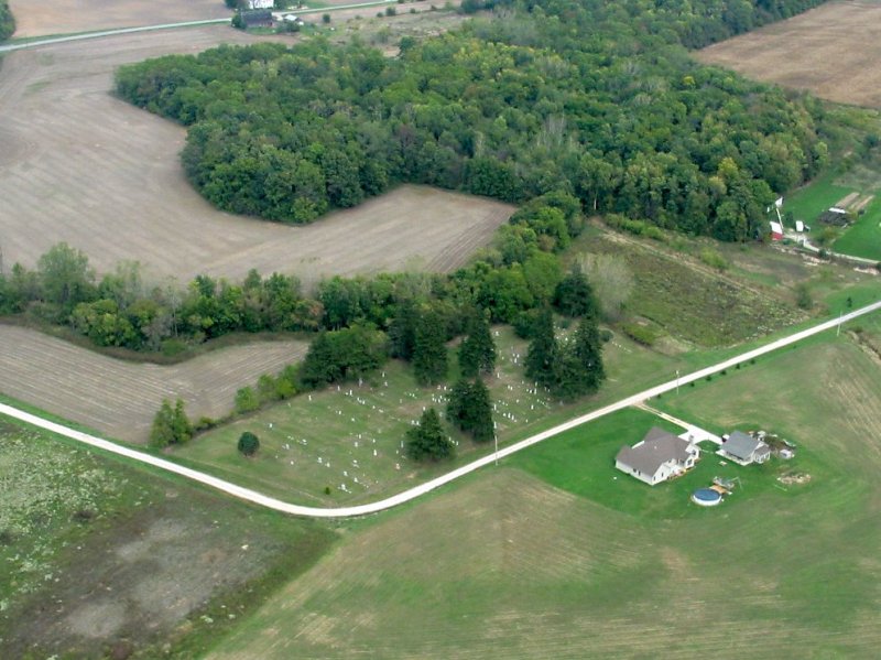
Salsbery Cemetery - Aerial view

IMG_0035.JPG
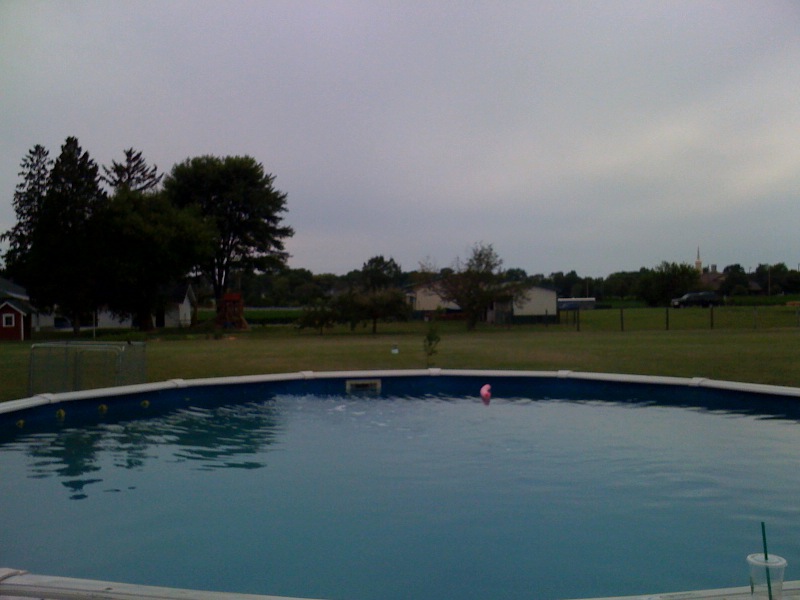
At Kathy's for 7/4.
On the Road to RAGBRAI
Topographic Map of Co Rd 14, Wauseon, OH, USA
Find elevation by address:

Places near Co Rd 14, Wauseon, OH, USA:
Co Rd J, Wauseon, OH, USA
Co Rd J, Wauseon, OH, USA
Dover Township
Fulton County
15300 Us-20 Alt
10585 Co Rd K
County Rd 16-3, Wauseon, OH, USA
Fulton County Health Center
4702 Co Rd 12
E Morenci St, Lyons, OH, USA
York Township
9111 Co Rd D
Delta
Main St, Wauseon, OH, USA
County Rd W, Wauseon, OH, USA
OH-, Delta, OH, USA
Freedom Township
Co Rd U, Napoleon, OH, USA
Rainbow Dr, Delta, OH, USA
German Township
Recent Searches:
- Elevation of 12 Hutchinson Woods Dr, Fletcher, NC, USA
- Elevation of Holloway Ave, San Francisco, CA, USA
- Elevation of Norfolk, NY, USA
- Elevation of - San Marcos Pass Rd, Santa Barbara, CA, USA
- Elevation of th Pl SE, Issaquah, WA, USA
- Elevation of 82- D Rd, Captain Cook, HI, USA
- Elevation of Harlow CM20 2PR, UK
- Elevation of Shenyang Agricultural University, Dong Ling Lu, Shen He Qu, Shen Yang Shi, Liao Ning Sheng, China
- Elevation of Alpha Dr, Melbourne, FL, USA
- Elevation of Hiroshima University, 1-chōme-3-2 Kagamiyama, Higashihiroshima, Hiroshima -, Japan