Elevation of Faulhorn Dr, San Martin, CA, USA
Location: United States > California > San Bernardino County > Crestline >
Longitude: -117.25912
Latitude: 34.2331978
Elevation: 1469m / 4820feet
Barometric Pressure: 85KPa
Elevation Map:
Satellite Map:
Related Photos:

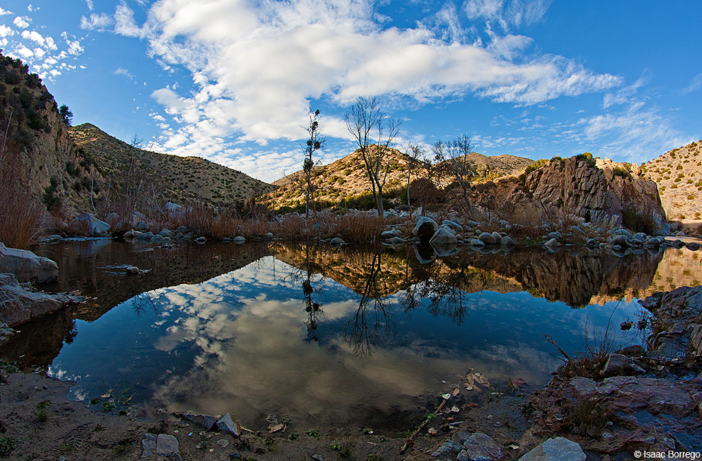
Islands in the Mist

Queen's Fine Food
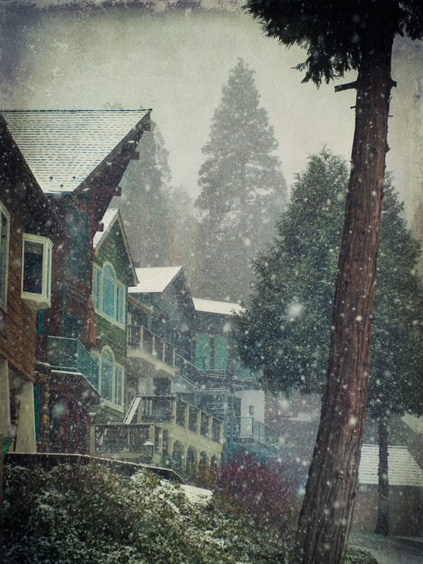
village cove homes
Crestline, California U.S.A. - March 9, 2019
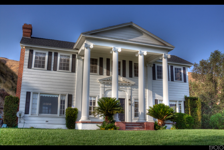
The White House (of San Bernardino)

A Face Only UP Could Love

prcssd. combat camera. san bernardino, ca. 2011.
Not So Beautiful Boosters

Thanksgiving Sunset HDR

SD Trucks In The Shops Over The Pit

South from Marie Louise
Green Topographic

Overlooking the Inland Empire
Two @ Dike

May your day be blessed and full of strippers and burritos or pizza Birds ???? eye ???? view #330

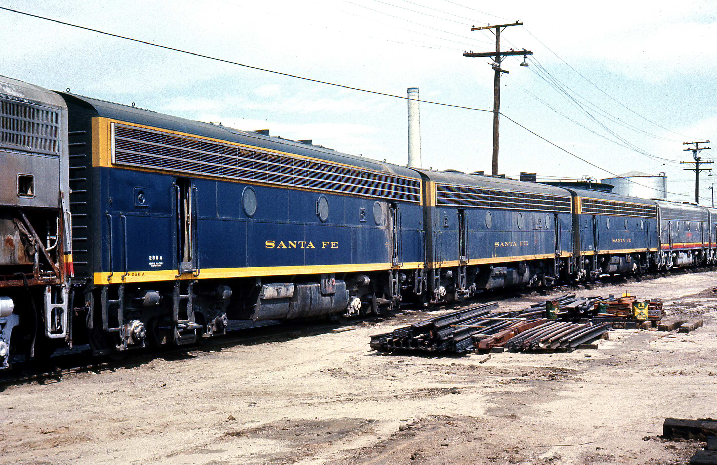
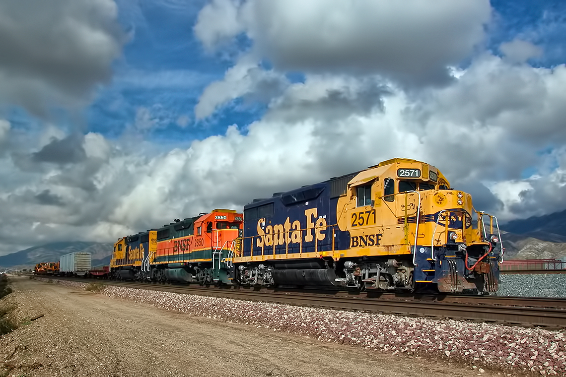
Santa Fe Main Leaving San Bernardino

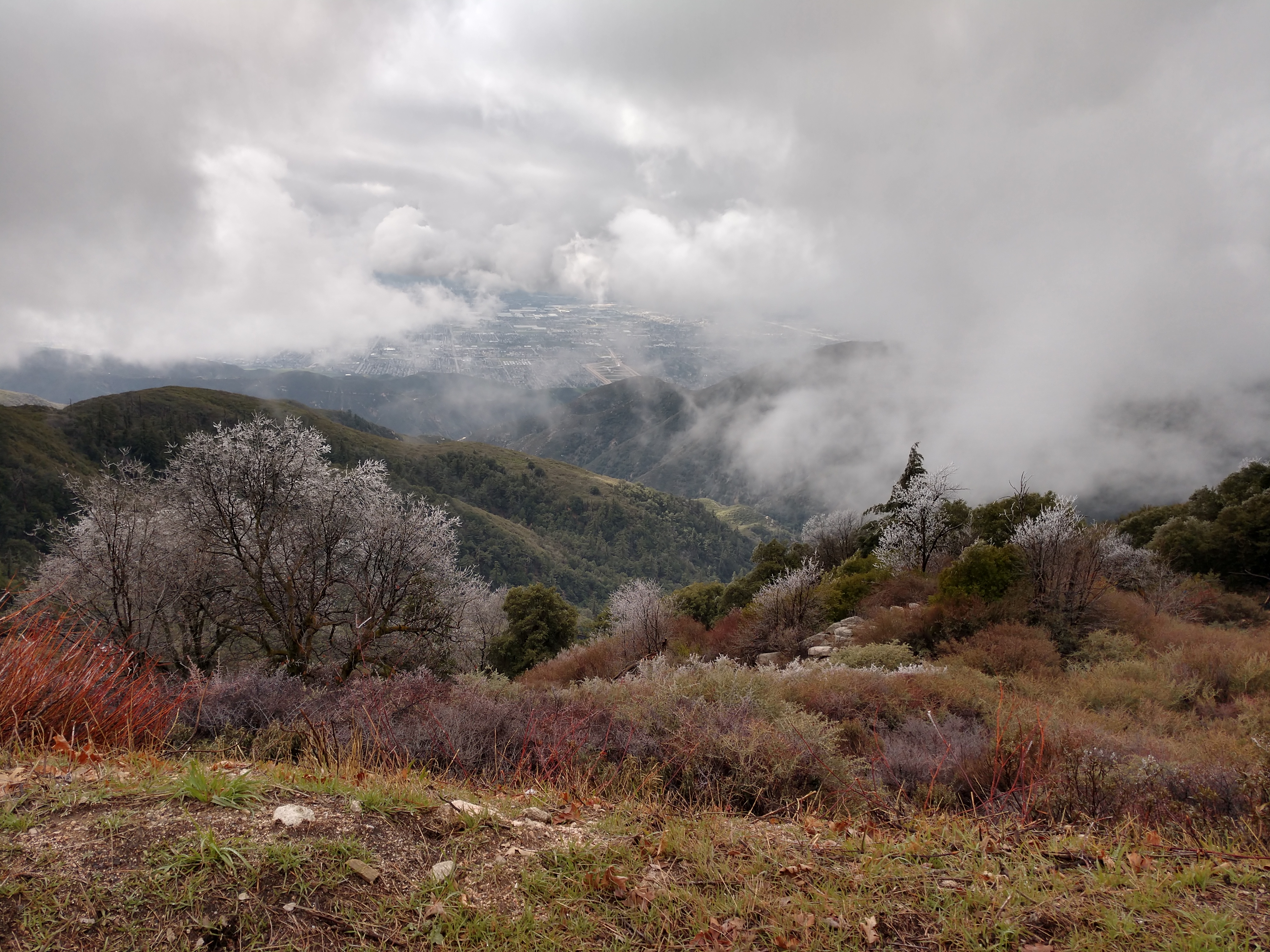
The IE from the Mountains Above

Above the Clouds
View From Work

Renaissance Pleasure Faire 1996
Station Corridor

San Bernardino city and National Forest

Sunset at Rim of the World

Rainbow over Historic Route 66
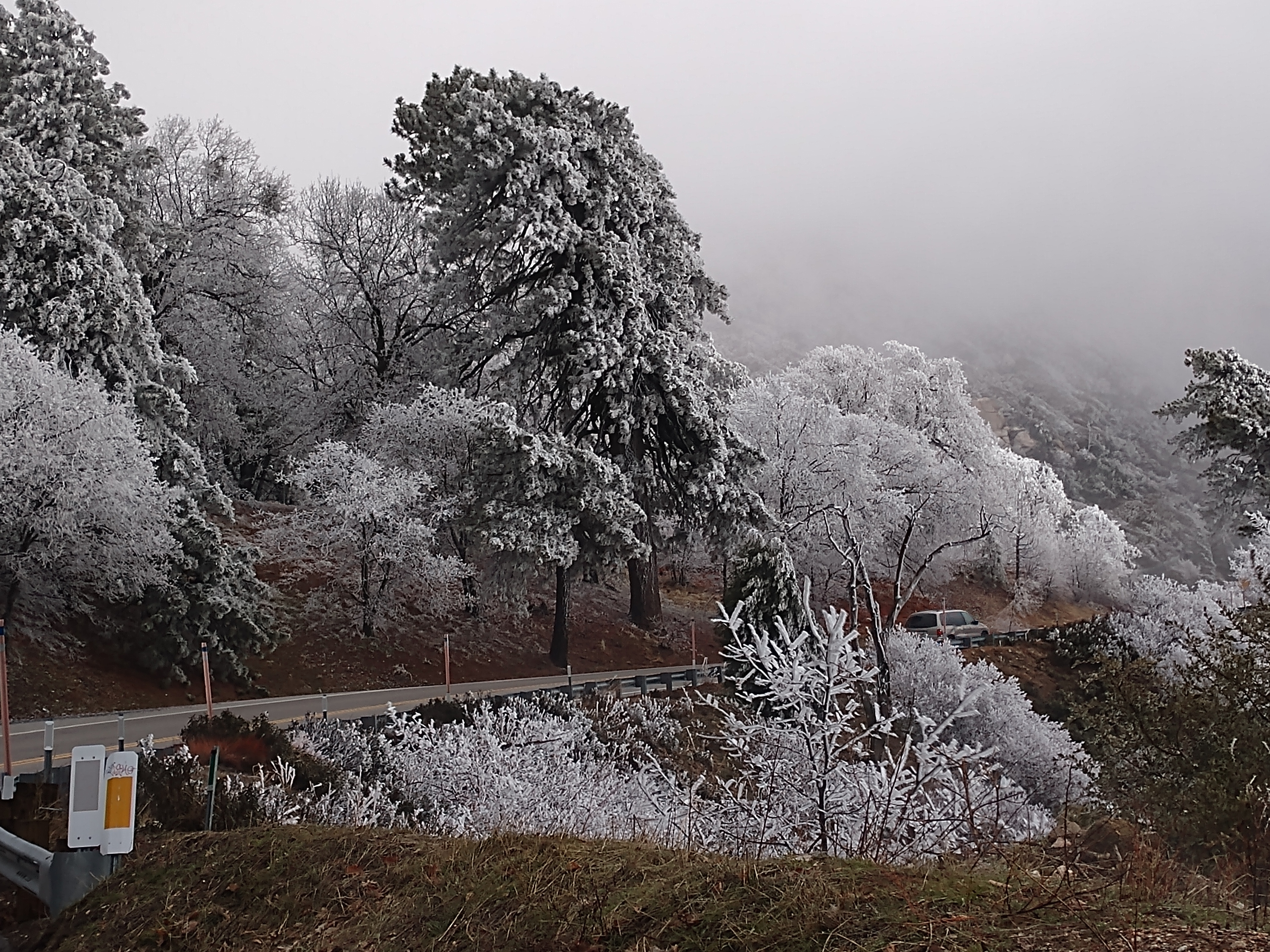
Rim of the World Highway, San Bernardino County, California U.S.A. - March 9, 2019
2004 Westbound MoW train in Verdemont, from my collection.

110-365 Fishing Reconnaissance
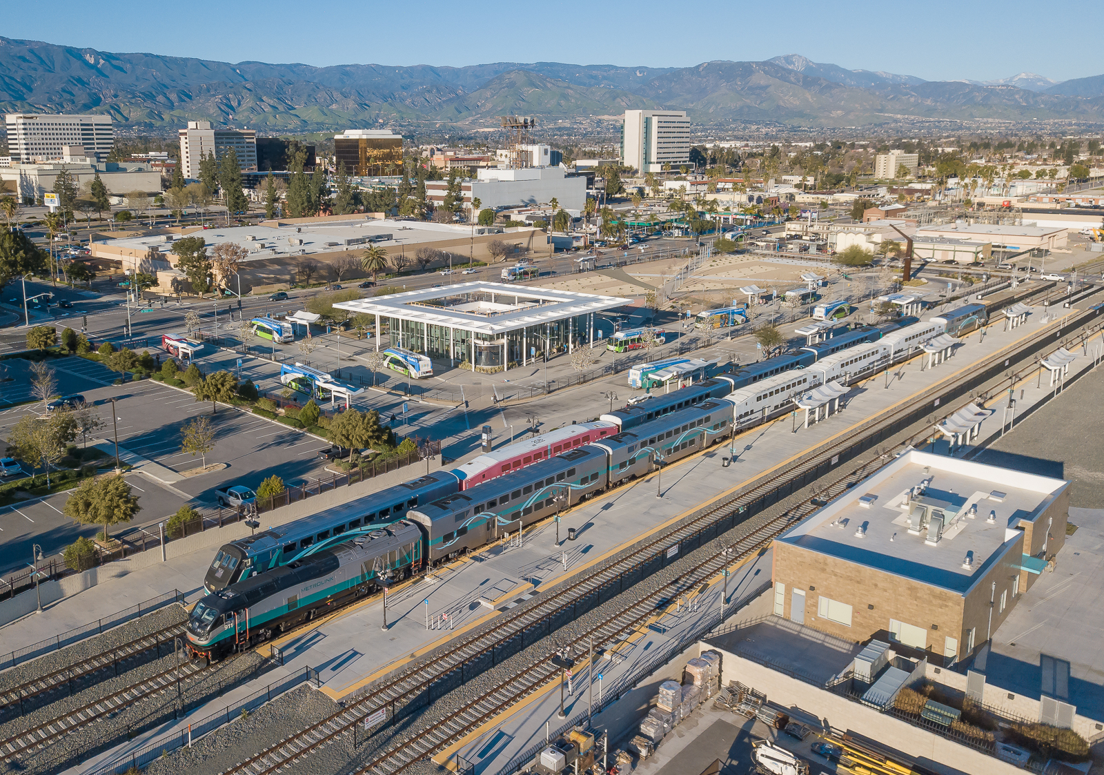
Metrolink San Bernardino Downtown Station

Rim of the World Highway, San Bernardino County, California U.S.A. - March 9, 2019

#sanbernardinomountains #mountains #runningsprings #hwy18

Rim of the World Highway
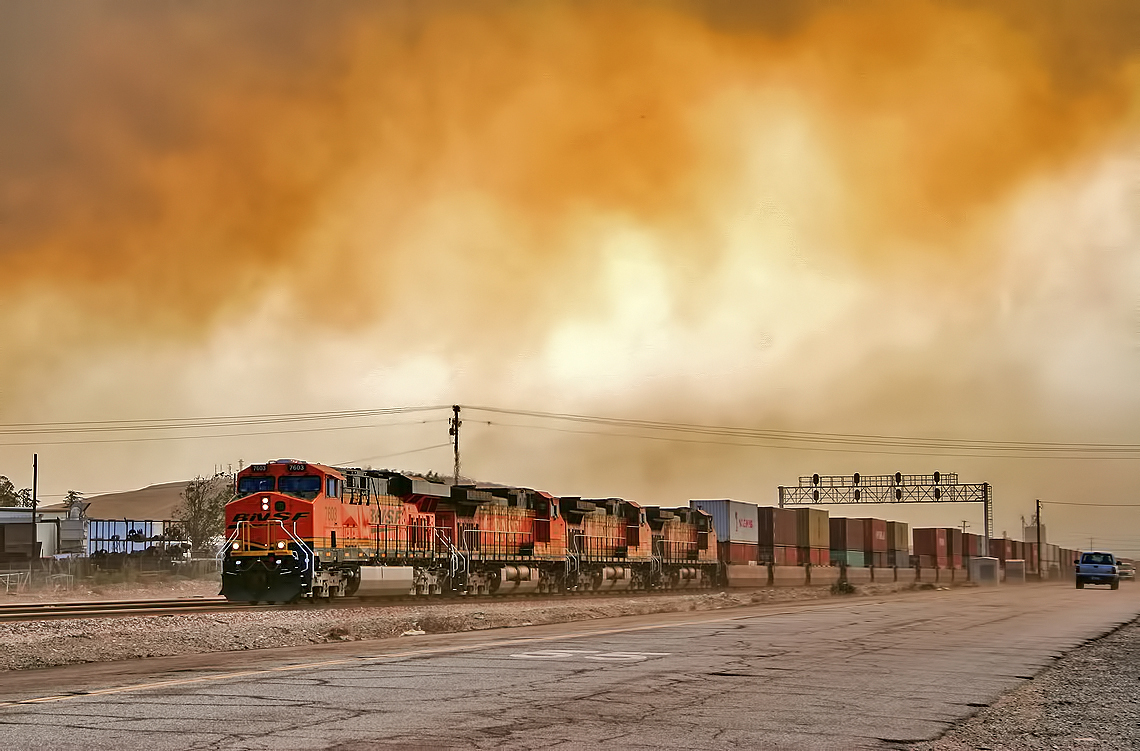
Read the link. BNSF Train under the Old Fire smoke

Above it all
Fire on the Water
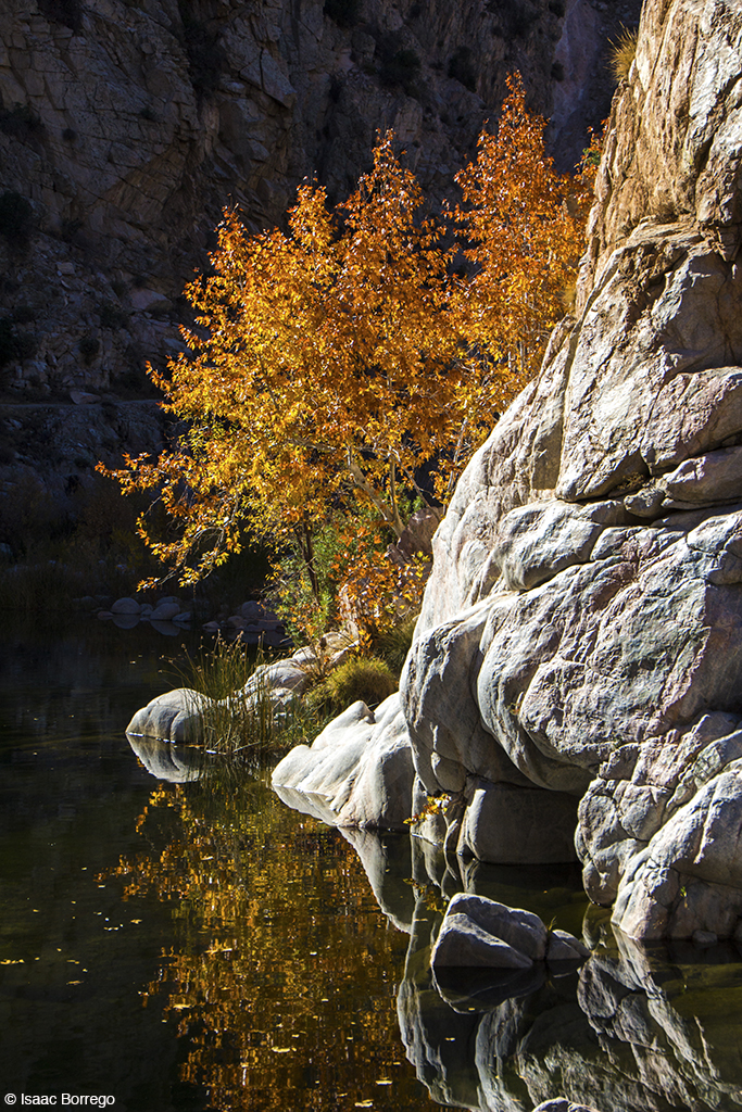
Canyon Reflections - Deep Creek, California
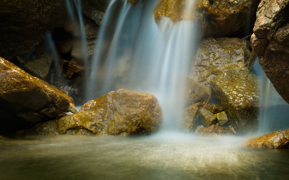
Pine Falls
Topographic Map of Faulhorn Dr, San Martin, CA, USA
Find elevation by address:

Places near Faulhorn Dr, San Martin, CA, USA:
24861 Faulhorn Dr
Basel Drive
Basel Drive
Bernard Dr, Crestline, CA, USA
24722 Finhaut Dr
24873 Basel Dr
24776 Basel Dr
983 Chateau Dr
24924 Saxon Dr
24759 Basel Dr
24902 Matterhorn Ct
24658 Lake Gregory Dr
801 Arosa Dr
24649 Bernard Dr
758 Arosa Dr
1376 Valley View Way
1076 Calanda Dr
Arth Drive
791 Chateau Dr
Boaz Road
Recent Searches:
- Elevation of Crystal Cir, Birmingham, AL, USA
- Elevation of N Railroad Ave, West Palm Beach, FL, USA
- Elevation of 55 Cassick Valley Rd, Wellfleet, MA, USA
- Elevation of Ironwood Dr, Minden, NV, USA
- Elevation of 高尾山口駅, Takaomachi, Hachioji, Tokyo -, Japan
- Elevation of 15 Victory Ave, Greenville, SC, USA
- Elevation of Kota Ternate Utara, Ternate City, North Maluku, Indonesia
- Elevation of Allon St, Oceanside, NY, USA
- Elevation of Carroll Creek Rd, Custer, SD, USA
- Elevation of Lust Road, Lust Rd, Florida, USA