Elevation of Basel Dr, Crestline, CA, USA

Location: United States > California > San Bernardino County > Crestline >

Longitude: -117.26377

Latitude: 34.2366291

Elevation: 1414m / 4639feet

Barometric Pressure: 85KPa

Elevation Map:

elevation map of Basel Dr, Crestline, CA, USA

Satellite Map:

Satellite map of Basel Dr, Crestline, CA, USA

Related Photos:

california up trains unionpacific ge railroads sanbernardino cajonpass u50c
A Face Only UP Could Love
nikon san running springs d200 bernardino 2870mmf28d aplusphoto flickrlovers
A Mixture of Fog and Clouds
california sunset mist mountains green clouds landscape nikon hills arrowhead sanbernardino rimoftheworld jameshale jimhale shutterjack
Islands in the Mist
california santafe trains shops rebuild railroads sanbernardino emd atsf rce f7b
Not So Beautiful Boosters
trees sky nature canon landscape outdoors view hiking powershot boulders pines southerncalifornia hps lakearrowhead s100 sanbernardinocounty sanbernardinonationalforest sanbernardinomountains highclouds hundredpeakssection mountmarielouise
South from Marie Louise
cliff lights city socal sunset blue
Overlooking the Inland Empire
night unionpacific canondslr locomotives cajonpass alltrains intothedarkness bokehlicous
Two @ Dike
instagramapp square squareformat iphoneography uploaded:by=instagram lofi
May your day be blessed and full of strippers and burritos or pizza Birds ???? eye ???? view #330
cliff mountains socal lights city blue
The IE from the Mountains Above
socal sunset afternoon cliff lights city blue
The Inland Empire Lights
nikon san running springs d200 bernardino 2870mmf28d flickrlovers “nikonflickraward”
Above the Clouds
eddy lair eddylair westpark9
View From Work
crestline lampornisclemenciae bluethroatedhummingbird
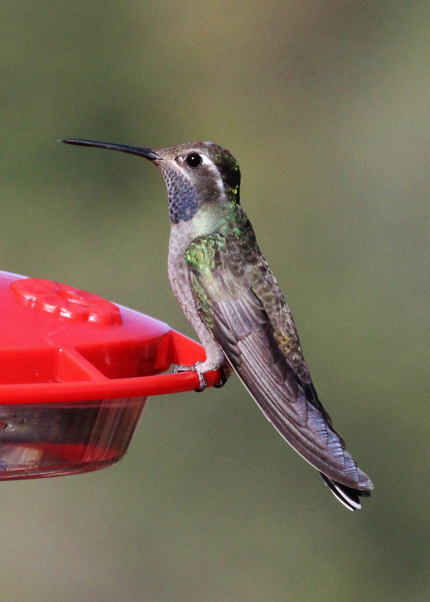
Blue-throated Hummingbird
california snow lakearrowhead
village cove homes
shadow green nature canon landscape outdoors view scenic nationalforest vegetation 5d geography geology southerncalifornia folds markii chaparral topography inlandempire sanbernardinomountains transverserange
Crumbled Landscape
california bw lake mountains water resort socal breathtaking lakearrowhead anawesomeshot
Arrowhead lake
square lofi squareformat iphoneography instagramapp uploaded:by=instagram foursquare:venue=50dfa9bee4b0c6dcc06b339a
Morning #view #snow
city longexposure night canon landscape outdoors lights view scenic nationalforest nighttime 5d southerncalifornia markii inlandempire sanbernardinomountains transverserange
Nighttime over the Inland Empire
eddy lair flickrandroidapp:filter=none eddylair westpark9
House Fire
city longexposure night canon landscape outdoors lights view scenic nationalforest nighttime 5d southerncalifornia markii inlandempire sanbernardinomountains transverserange
Nighttime, LA Basin
california city two white house brick home floors bedroom san estate view five hill 1800s historic southern story mansion pillars majestic twostory bernardino
The White House (of San Bernardino)
square lofi squareformat iphoneography instagramapp uploaded:by=instagram foursquare:venue=500b1edae4b0ddfaa6ed263f
#sanbernardinomountains #mountains #runningsprings #hwy18
california sunset mountain forest landscape smog dusk photomerge 28 sanbernadino urbanlimit a 77 son y 1650m m
San Bernardino city and National Forest
cliff sunset mountains socal rimoftheworld blue
Rim of the World Highway
0317-120329
california ca railroad travel sky usa santafe nature train photoshop canon landscape photo interestingness interesting day skies photographer cs2 cloudy picture explore adobe depot southerncalifornia metrolink hdr sanbernardino infocus 2011 photomatix 40d topazlabs topazadjust topazdenoise photographersnaturecom davetoussaint
Taking the Weekend Off
rimoftheworld forest nature socal mountains sunset cliff
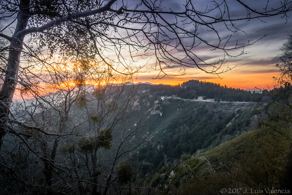
Sunset at Rim of the World
california road ca travel light usa cloud storm color nature photoshop canon landscape photo interestingness interesting rainbow route66 december day photographer cs2 pavement picture historic explore socal adobe southerncalifornia blend adjust infocus inlandempire 2011 devore digitalcameraclub denoise 60d topazlabs keenbrook photographersnaturecom davetoussaint mygearandme mygearandmepremium mygearandmebronze mygearandmesilver mygearandmegold me2youphotographylevel2 me2youphotographylevel3 me2youphotographylevel1 cajopass
Rainbow over Historic Route 66
california santa ca new railroad travel usa 20d nature burlington photoshop canon landscape fire photo interestingness interesting october track photographer cs2 diesel smoke sub picture engine rail east explore socal adobe locomotive fe southerncalifornia northern bnsf 2007 adjust sanbernardino infocus subdivision inlandempire cajonpass es44dc digitalcameraclub thegalaxy denoise topazlabs verdemont photographersnaturecom davetoussaint es44c4 mygearandme blinkagain
Read the link. BNSF Train under the Old Fire smoke
mountains fog sunrise landscape smog altitude bearmountain skiresort bigbearlake lakearrowhead sanbernardino catchycolorsblack
Above it all
tree fall water creek reflection rocks canyon stream deepcreek hotsprings california canonrebelt4i reflections autumn unitedstates america usa
Fire on the Water
california ca old railroad travel school vacation sky usa santafe 2004 train photoshop landscape photo nikon san track december day skies photographer shot cs2 diesel cloudy famous picture engine rail adobe mow coolpix locomotive backintheday 5000 southerncalifornia ge bnsf westbound blvd cajon bernardino i15 adjust infocus geep burlingtonnorthern emd p42 cajonpass denoise electromotivedivision gp35 transcon topazlabs photographersnaturecom davetoussaint cajonsubdivision
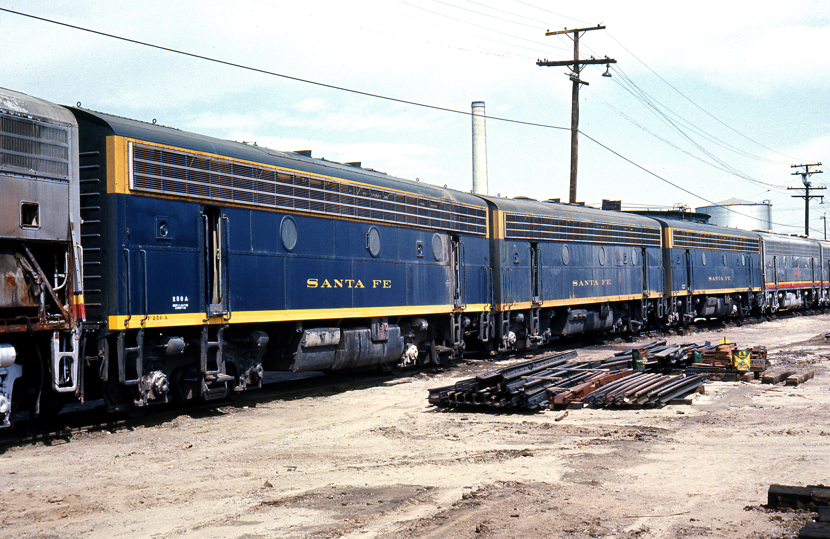
2004 Westbound MoW train in Verdemont, from my collection.
california nature landscape woods stream filter nd deepcreek bolders sanbernardinomountains paulknight quixoteimagescom
110-365 Fishing Reconnaissance
canon rebel xsi canyonreflections deepcreek california reflections desert unitedstates america usa
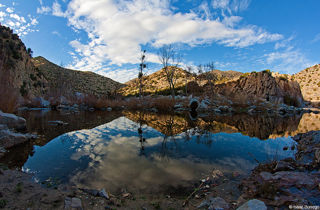
Canyon Reflections - Deep Creek, California
sunset lake reflection landscape lakeside lakefront lakearrowhead lakearrowheadvillage
Lake Arrowhead
sanbernardino california unitedstatesofamerica us
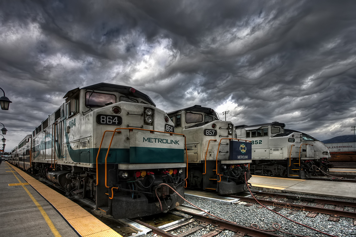
Metrolink San Bernardino Downtown Station
lake water 50mm minolta olympus canyon falls arrowhead villas 43 e500 adaptor f17 rokkor kuffel
Pine Falls
square squareformat iphoneography instagramapp uploaded:by=instagram foursquare:venue=4c37b02d2c8020a105838900
San Bernardino National Forest, California