Elevation of Fateh Garh, Rajasthan, India
Location: India > Rajasthan > Barmer >
Longitude: 71.1804988
Latitude: 26.4723323
Elevation: 259m / 850feet
Barometric Pressure: 98KPa
Elevation Map:
Satellite Map:
Related Photos:
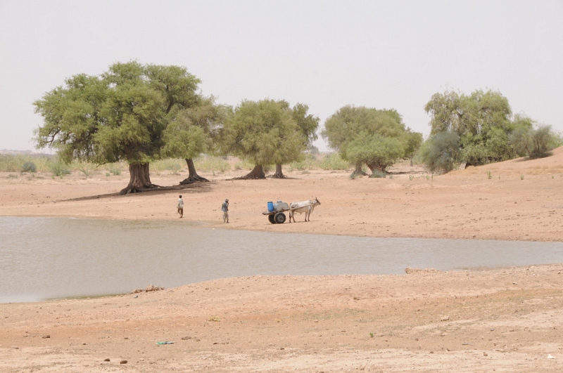
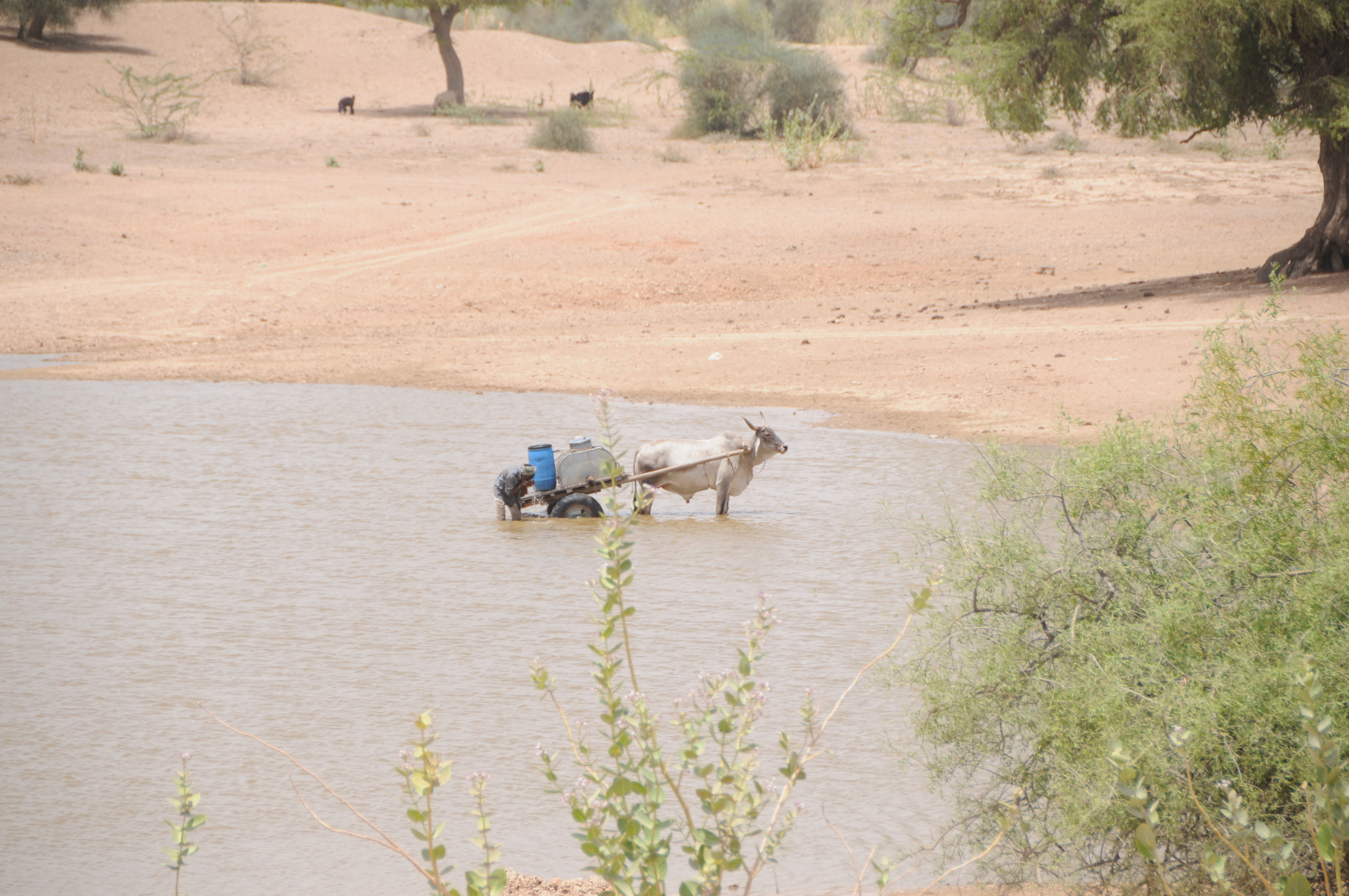
Sangar, Rajasthan

Sangar, Rajasthan

Sangar, Rajasthan

Sangar, Rajasthan

Sangar, Rajasthan

Sangar, Rajasthan

Sangar, Rajasthan

Sangar, Rajasthan

CSP_8085.JPG

Sangar, Rajasthan

Sangar, Rajasthan

CSP_8098.JPG

Sangar, Rajasthan

CSP_8084.JPG

CSP_8077.JPG

CSP_8064.JPG

CSP_8060.JPG

CSP_8099.JPG
CSP_8063.JPG

CSP_8069.JPG

CSP_8100.JPG

IMG_3471.JPG

IMG_3474.JPG
Topographic Map of Fateh Garh, Rajasthan, India
Find elevation by address:

Places near Fateh Garh, Rajasthan, India:
Toga
Jogidas Ka Gaon
Jhinjhinyali Branch Post Office
Bandhewa
Rajmathai
Sihdar
Barmer
Tan Singh Circle
Barmer
Satto
Tan Singh Chouhan
Vishnu Colony
Ramsar
Chohtan Road
Dhok
Recent Searches:
- Elevation of Elwyn Dr, Roanoke Rapids, NC, USA
- Elevation of Congressional Dr, Stevensville, MD, USA
- Elevation of Bellview Rd, McLean, VA, USA
- Elevation of Stage Island Rd, Chatham, MA, USA
- Elevation of Shibuya Scramble Crossing, 21 Udagawacho, Shibuya City, Tokyo -, Japan
- Elevation of Jadagoniai, Kaunas District Municipality, Lithuania
- Elevation of Pagonija rock, Kranto 7-oji g. 8"N, Kaunas, Lithuania
- Elevation of Co Rd 87, Jamestown, CO, USA
- Elevation of Tenjo, Cundinamarca, Colombia
- Elevation of Côte-des-Neiges, Montreal, QC H4A 3J6, Canada