Elevation of Barmer, Rajasthan, India
Location: India > Rajasthan > Barmer >
Longitude: 71.4180622
Latitude: 25.7531537
Elevation: 173m / 568feet
Barometric Pressure: 99KPa
Elevation Map:
Satellite Map:
Related Photos:

DSC00317
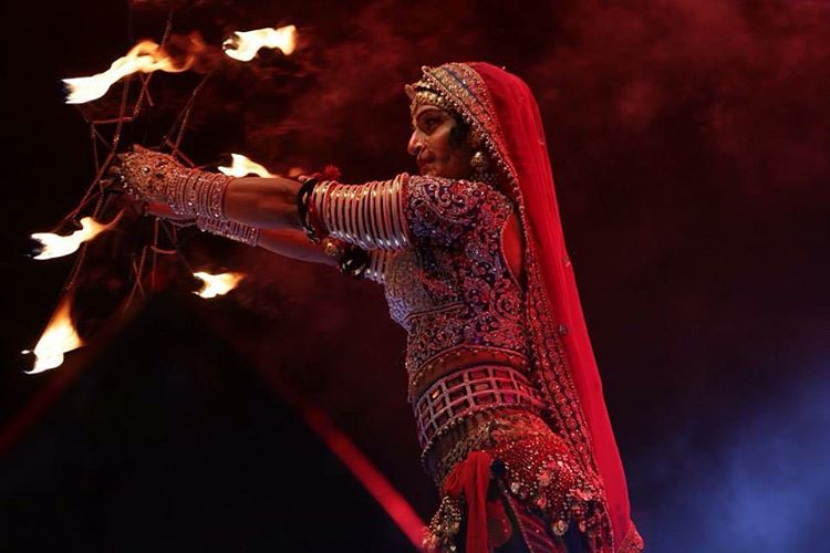
The Queen Harish show in Badmer tonight !!! Ready to rock !!
Camera Roll-470

Camera Roll-460

Indian Roller

Travellers. Central bus stand . Barmer. Rajasthan

Mangala Processing Terminal, Barmer, Rajasthan
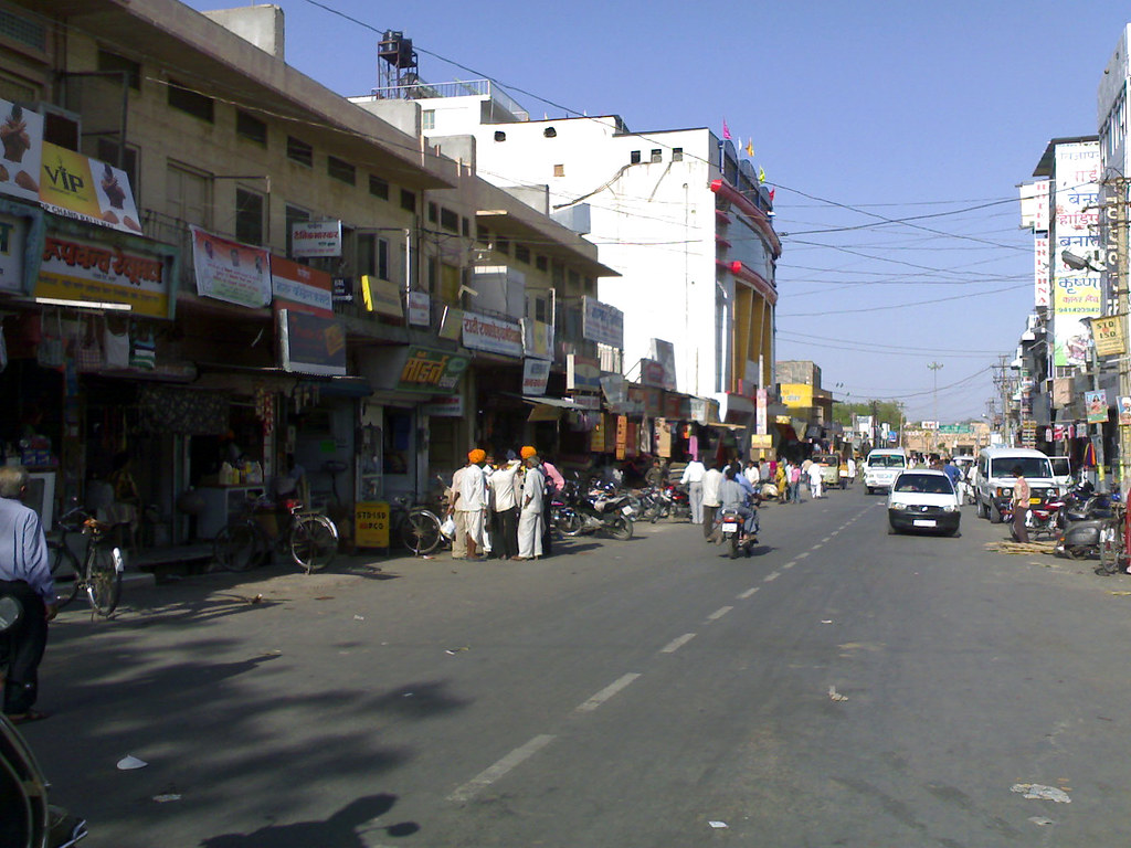
Station Road, Barmer
Topographic Map of Barmer, Rajasthan, India
Find elevation by address:

Places in Barmer, Rajasthan, India:
Places near Barmer, Rajasthan, India:
Tan Singh Chouhan
Vishnu Colony
Tan Singh Circle
Barmer
Dhok
Ramsar
Chohtan Road
Toga
Bandhewa
Jogidas Ka Gaon
Fateh Garh
Jhinjhinyali Branch Post Office
Rajmathai
Sihdar
Satto
Recent Searches:
- Elevation of Luther Road, Luther Rd, Auburn, CA, USA
- Elevation of Unnamed Road, Respublika Severnaya Osetiya — Alaniya, Russia
- Elevation of Verkhny Fiagdon, North Ossetia–Alania Republic, Russia
- Elevation of F. Viola Hiway, San Rafael, Bulacan, Philippines
- Elevation of Herbage Dr, Gulfport, MS, USA
- Elevation of Lilac Cir, Haldimand, ON N3W 2G9, Canada
- Elevation of Harrod Branch Road, Harrod Branch Rd, Kentucky, USA
- Elevation of Wyndham Grand Barbados Sam Lords Castle All Inclusive Resort, End of Belair Road, Long Bay, Bridgetown Barbados
- Elevation of Iga Trl, Maggie Valley, NC, USA
- Elevation of N Co Rd 31D, Loveland, CO, USA