Elevation of Farmington, NH, USA
Location: United States > New Hampshire > Strafford County > Farmington >
Longitude: -71.065062
Latitude: 43.3897609
Elevation: 84m / 276feet
Barometric Pressure: 100KPa
Elevation Map:
Satellite Map:
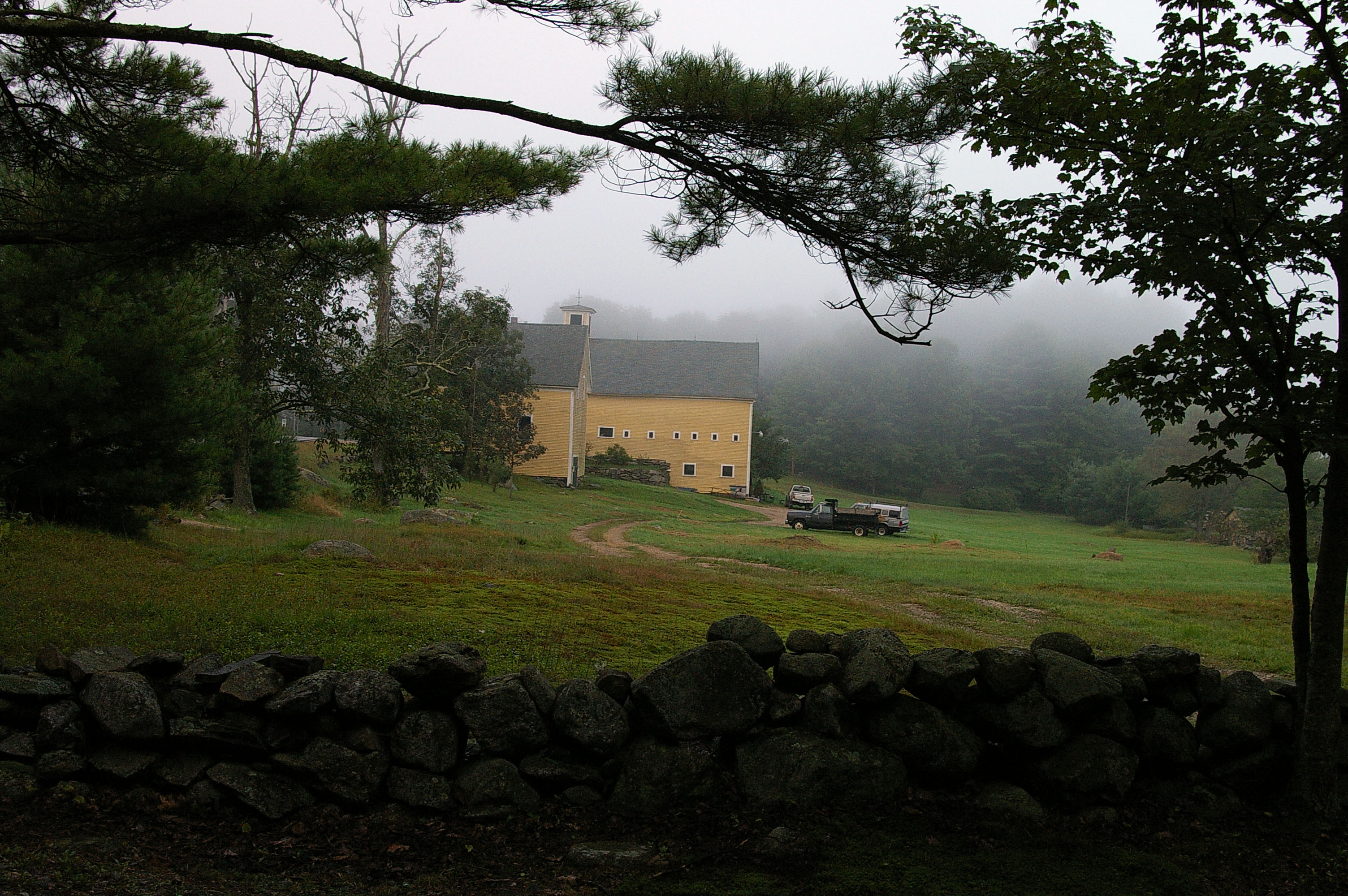
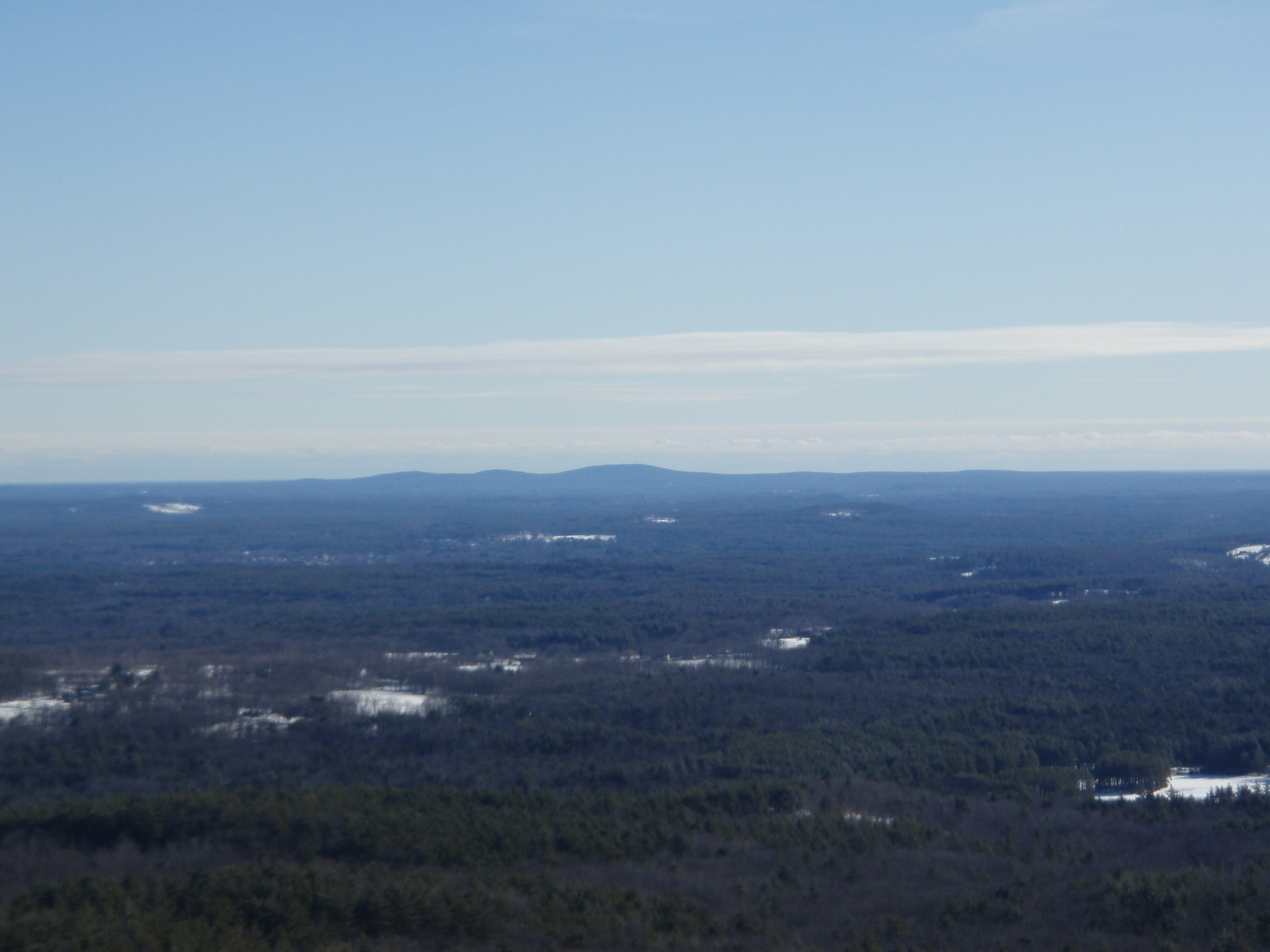
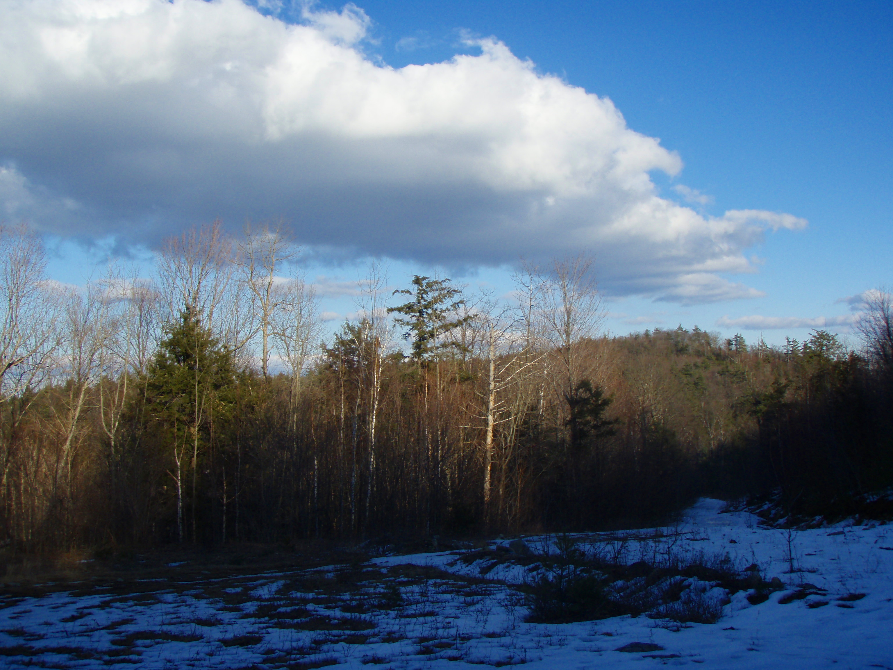
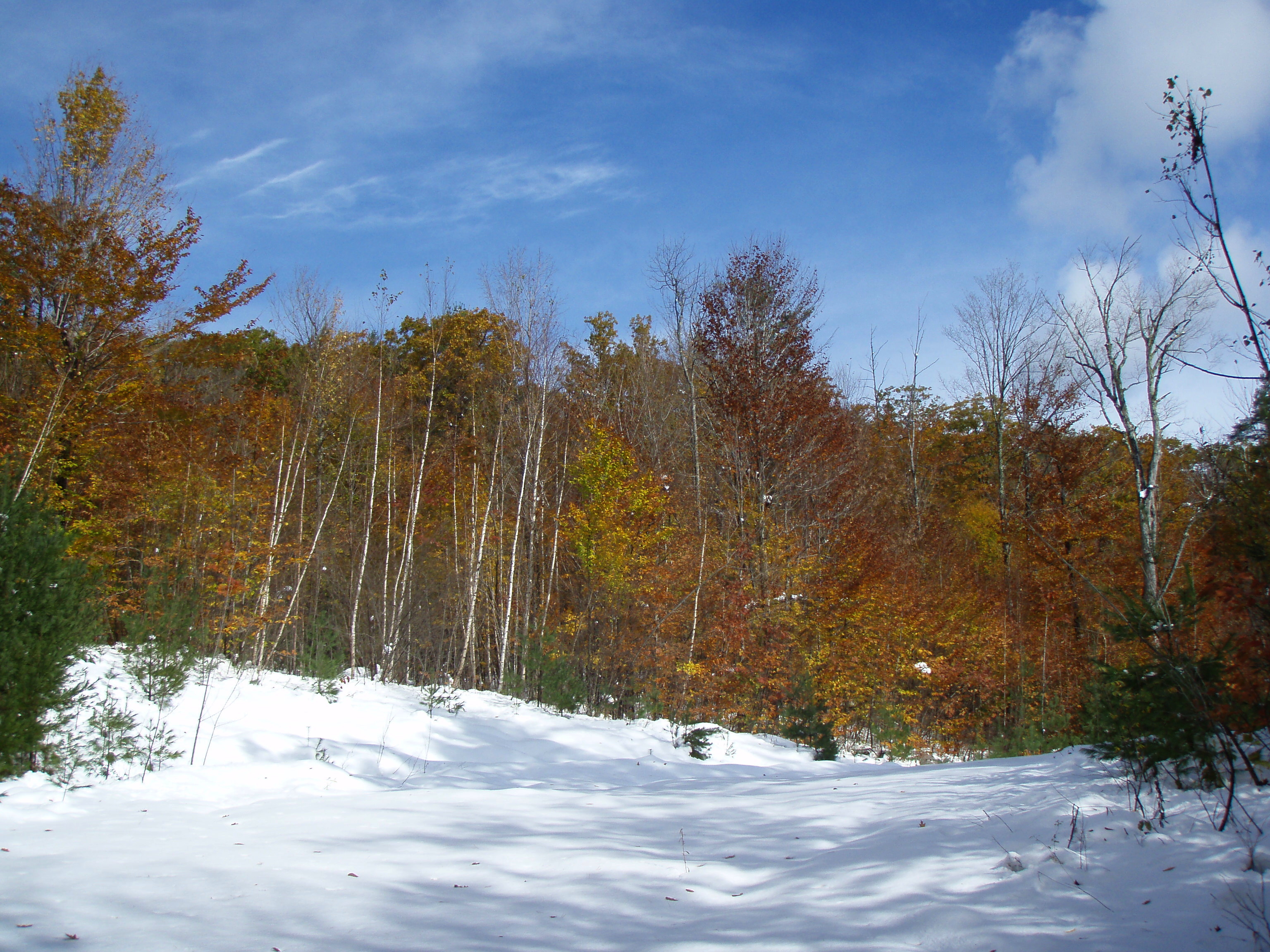
Related Photos:

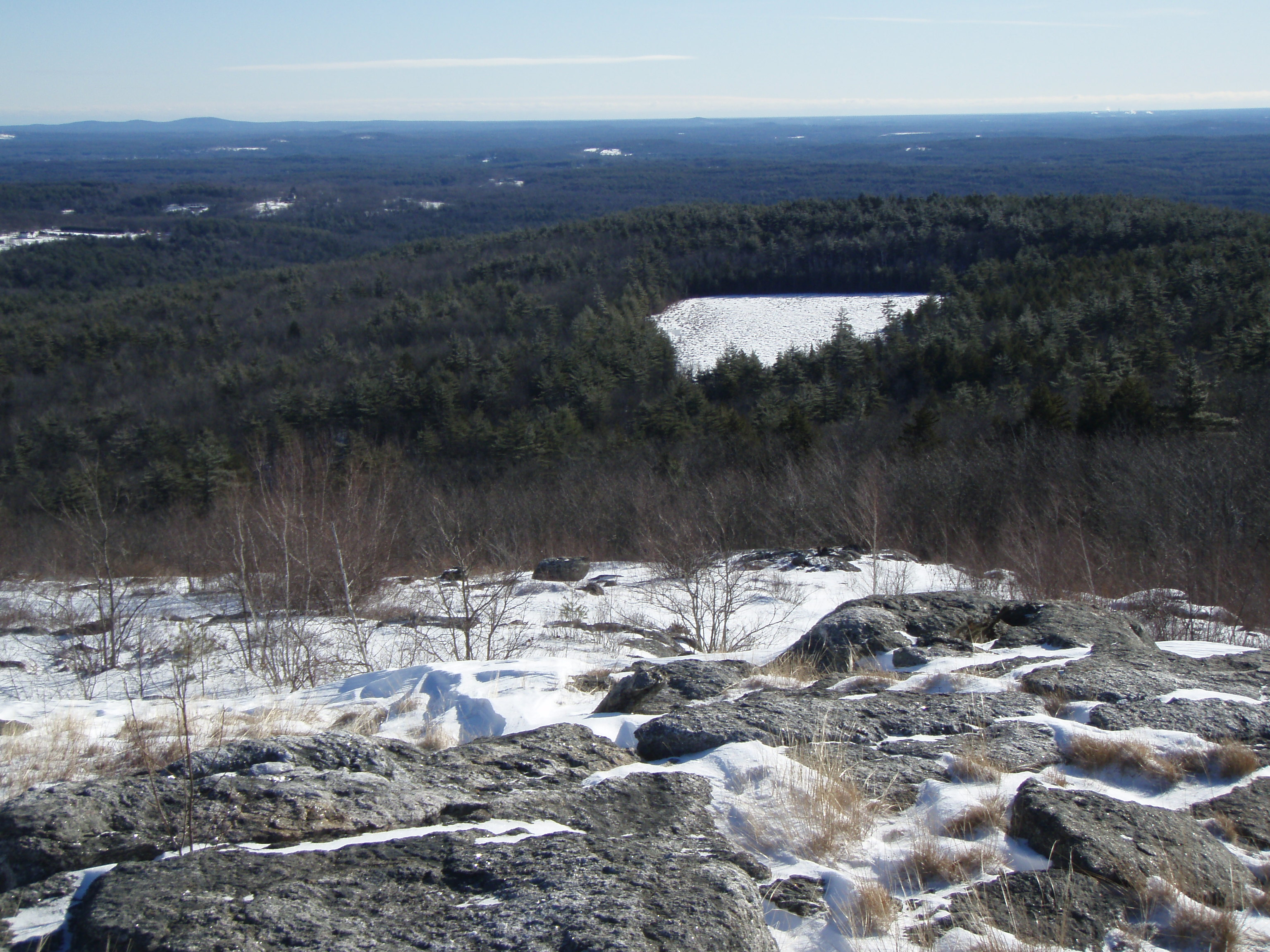
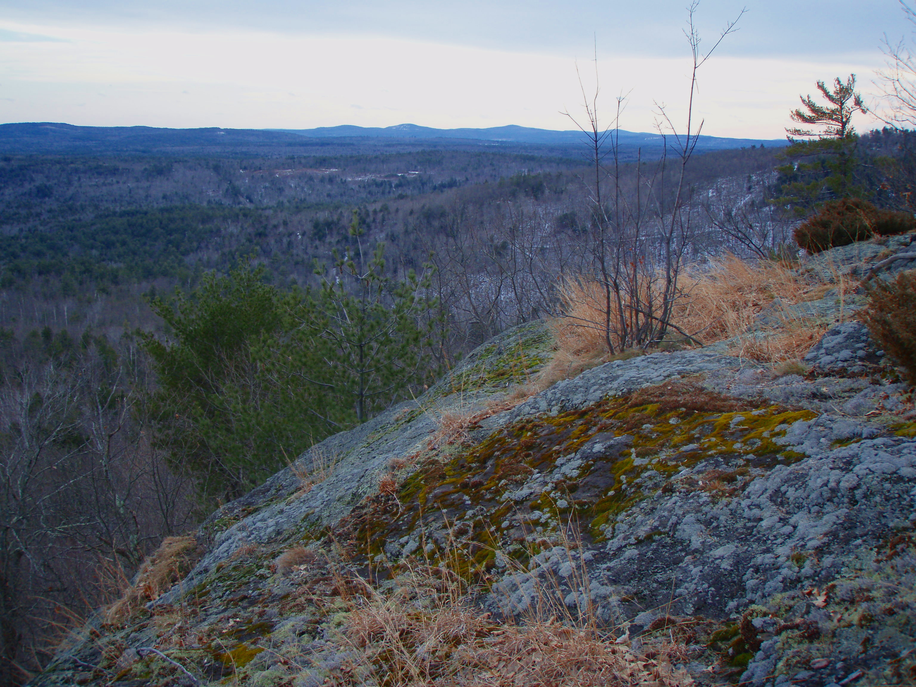
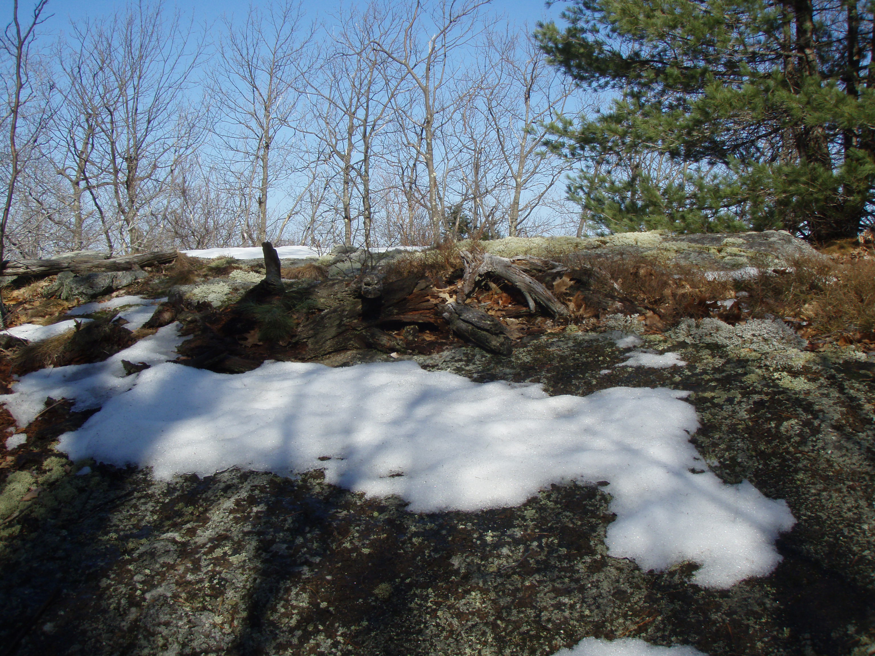
View from Little Baldy Pan

Barrington-2006-324-300
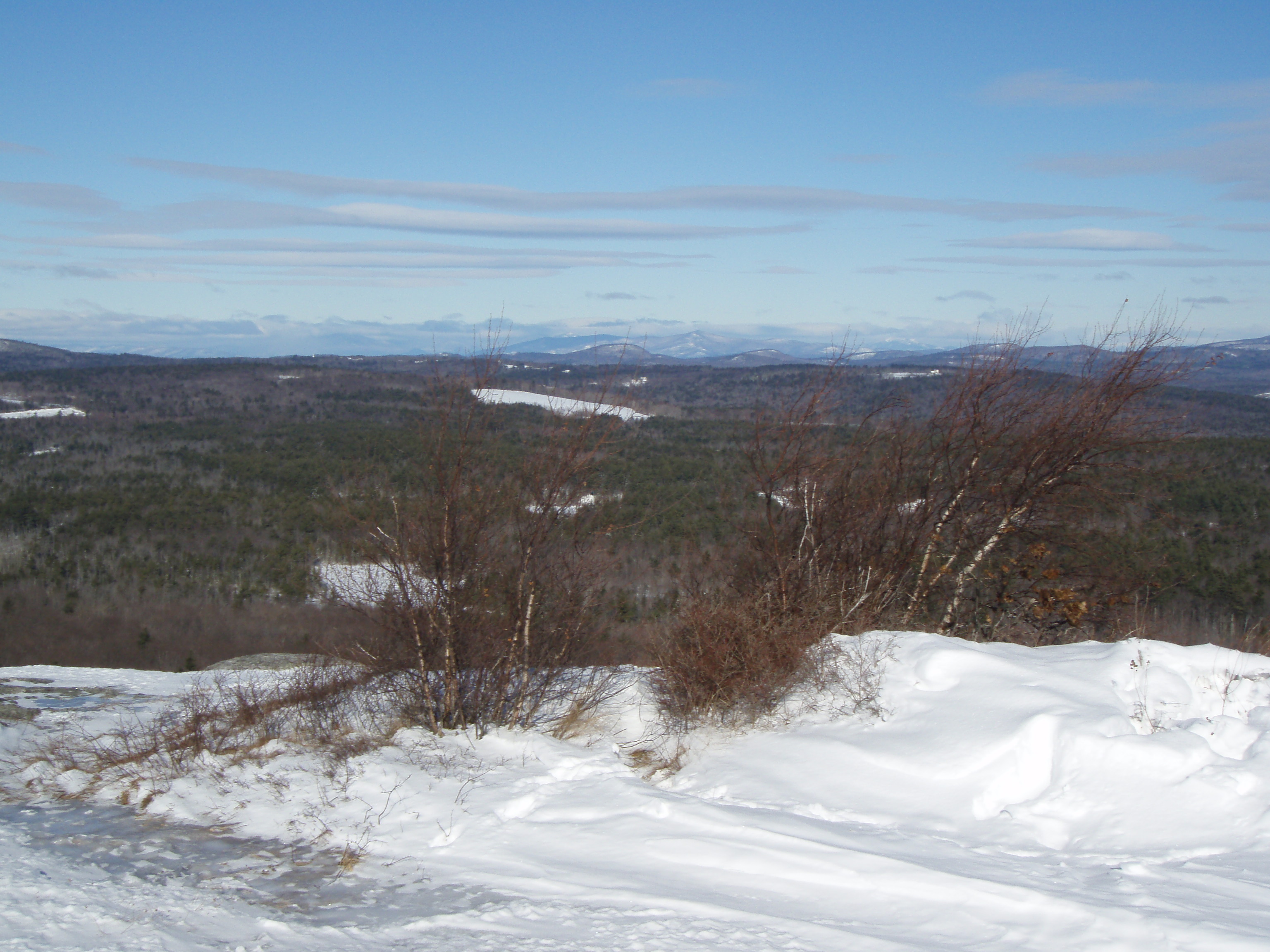
View East from Little Baldy
View North from Little Baldy

Barrington-2006-329-300
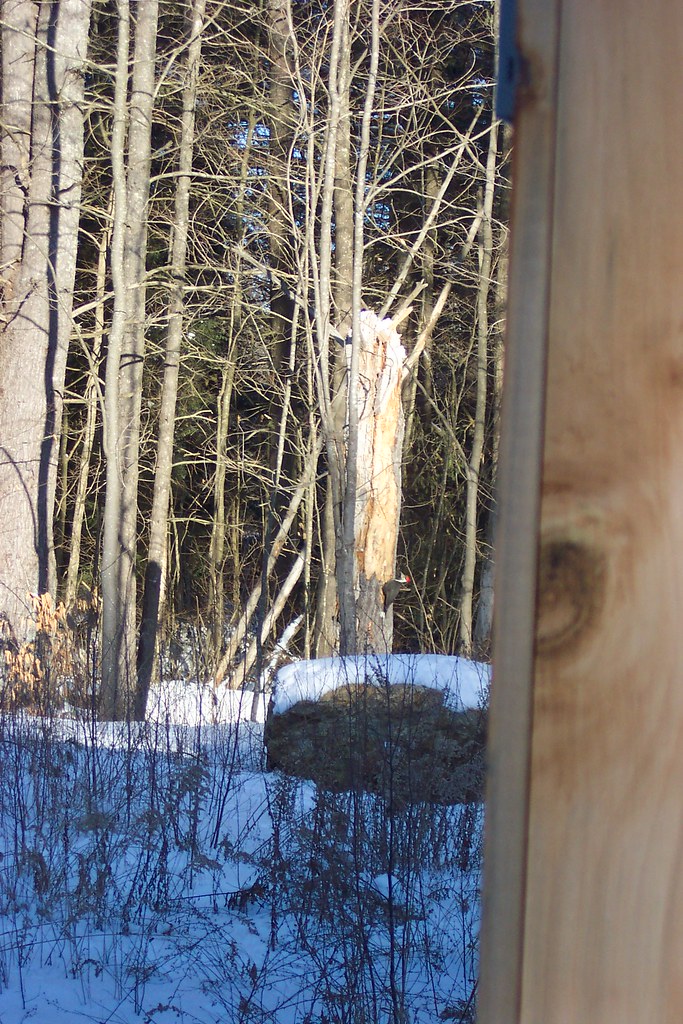
Giant (Pileated) Woodpecker
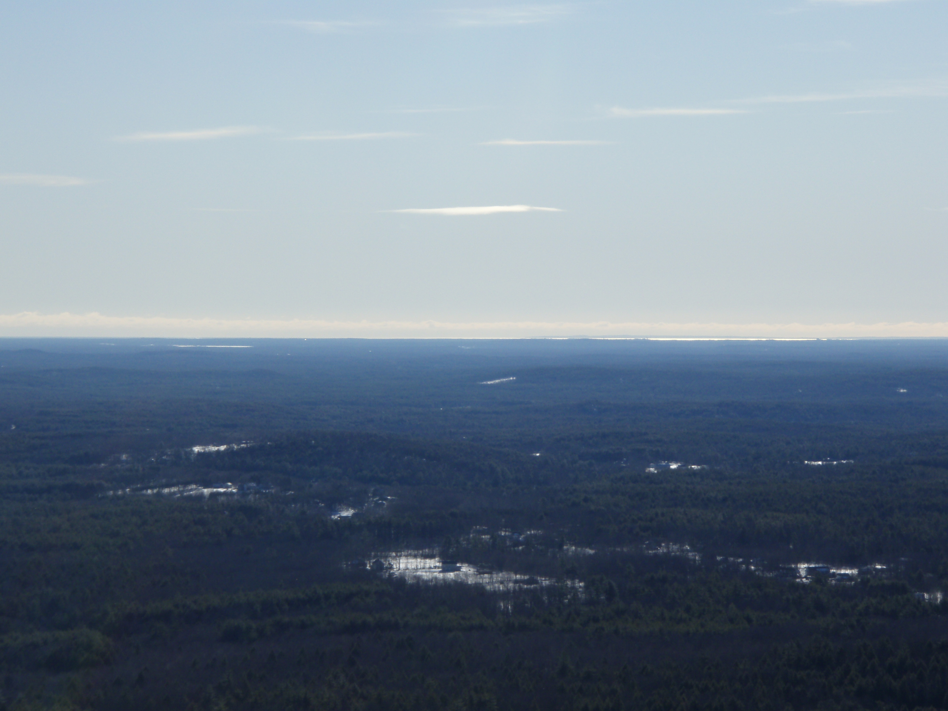
View from Tower

Into the Cloud
Barrington-2006-210-6x9
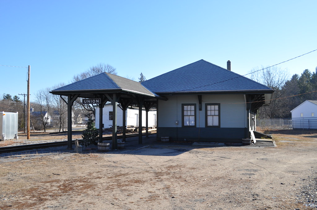
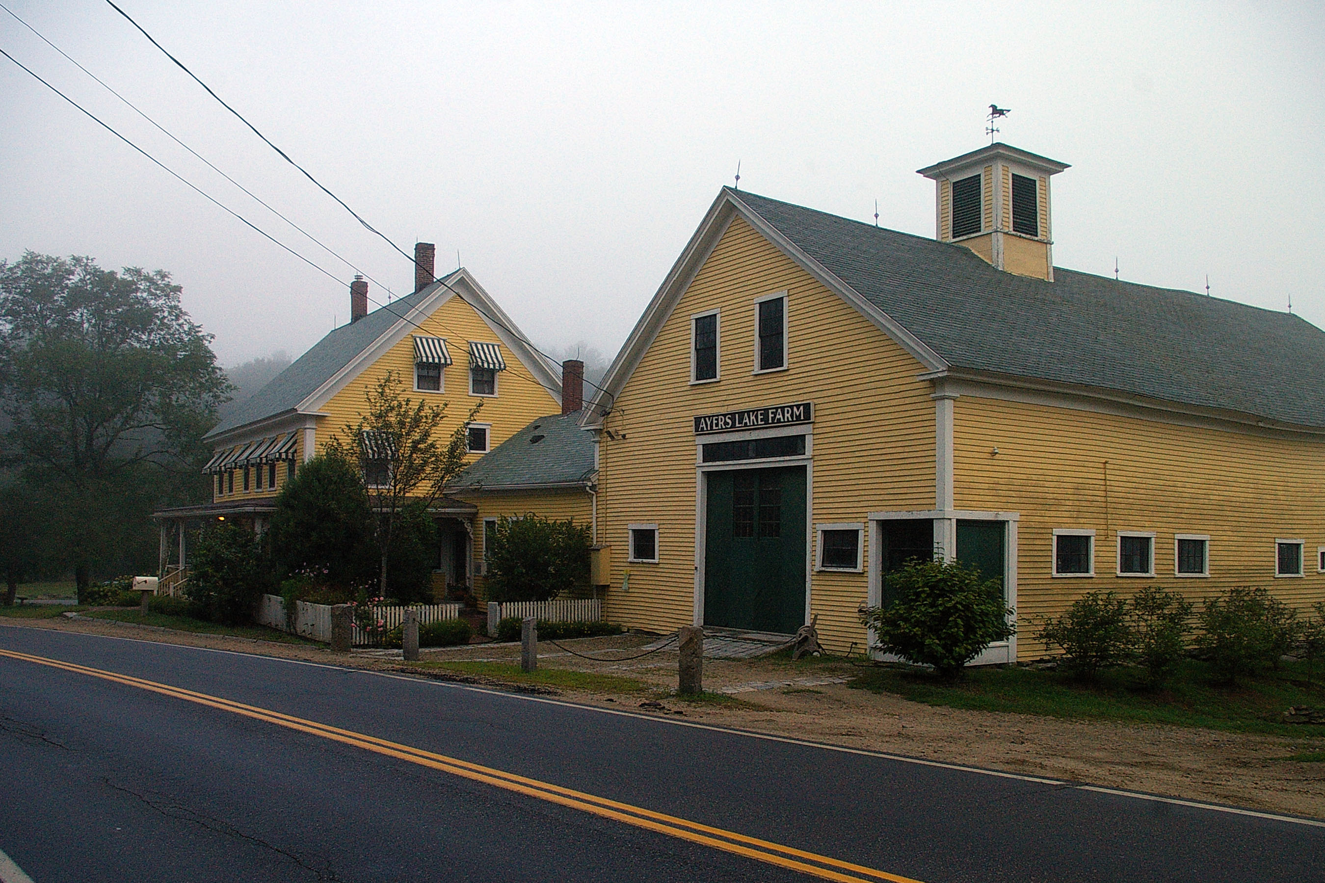
Union Station
Barrington-2006-211-300
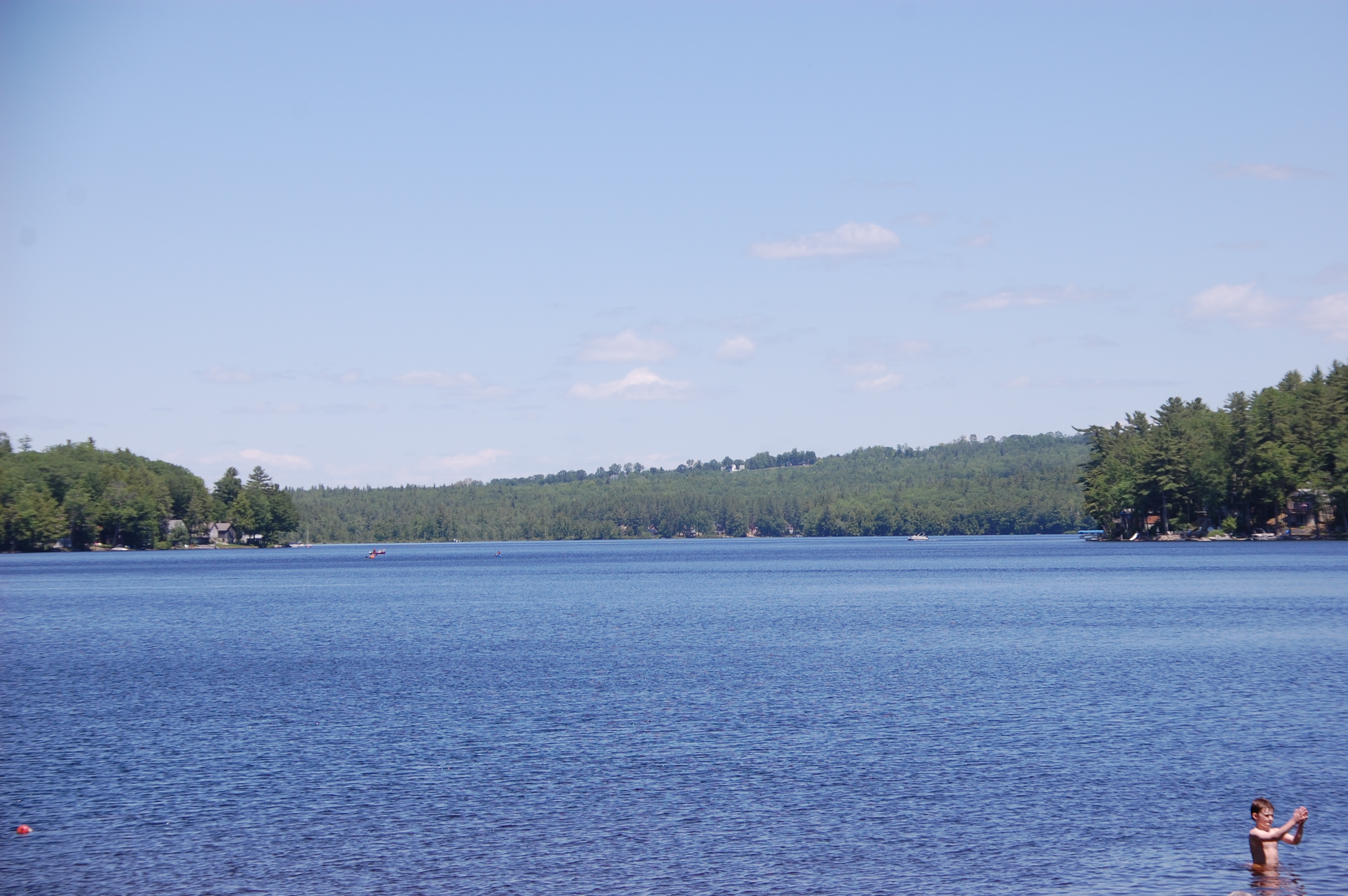
View From The Beach

Read Across America
Barrington-2006-203-300
View from Tower
View from upper landing on North Trail
North View trail
Beauty Ledge view
View to Beauty & Boulder ledges
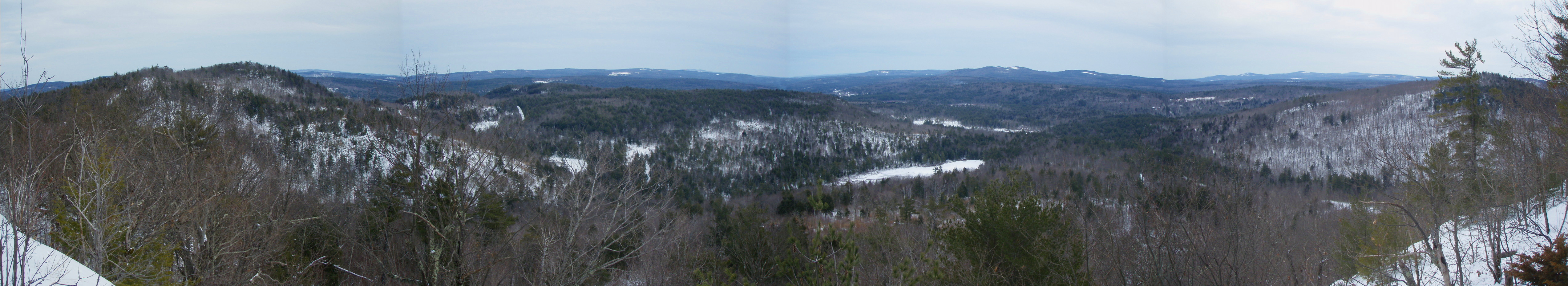
Beauty Ledge View 3-4-12 (pano)
View from Phoebe's Nable
Berry's River
Cold Front HDR

Berry's River
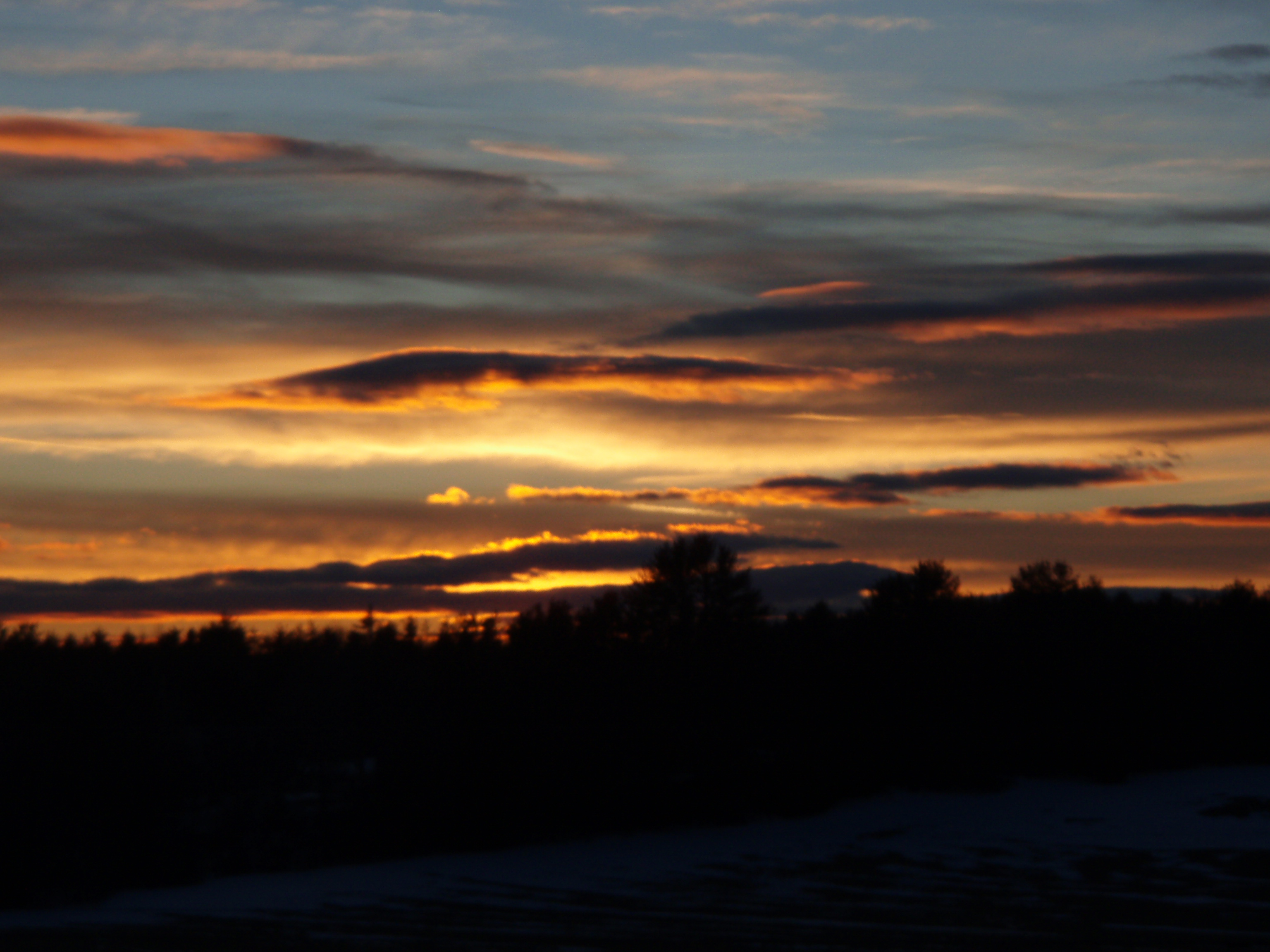
2/15/10 Sunset from Gonic, NH
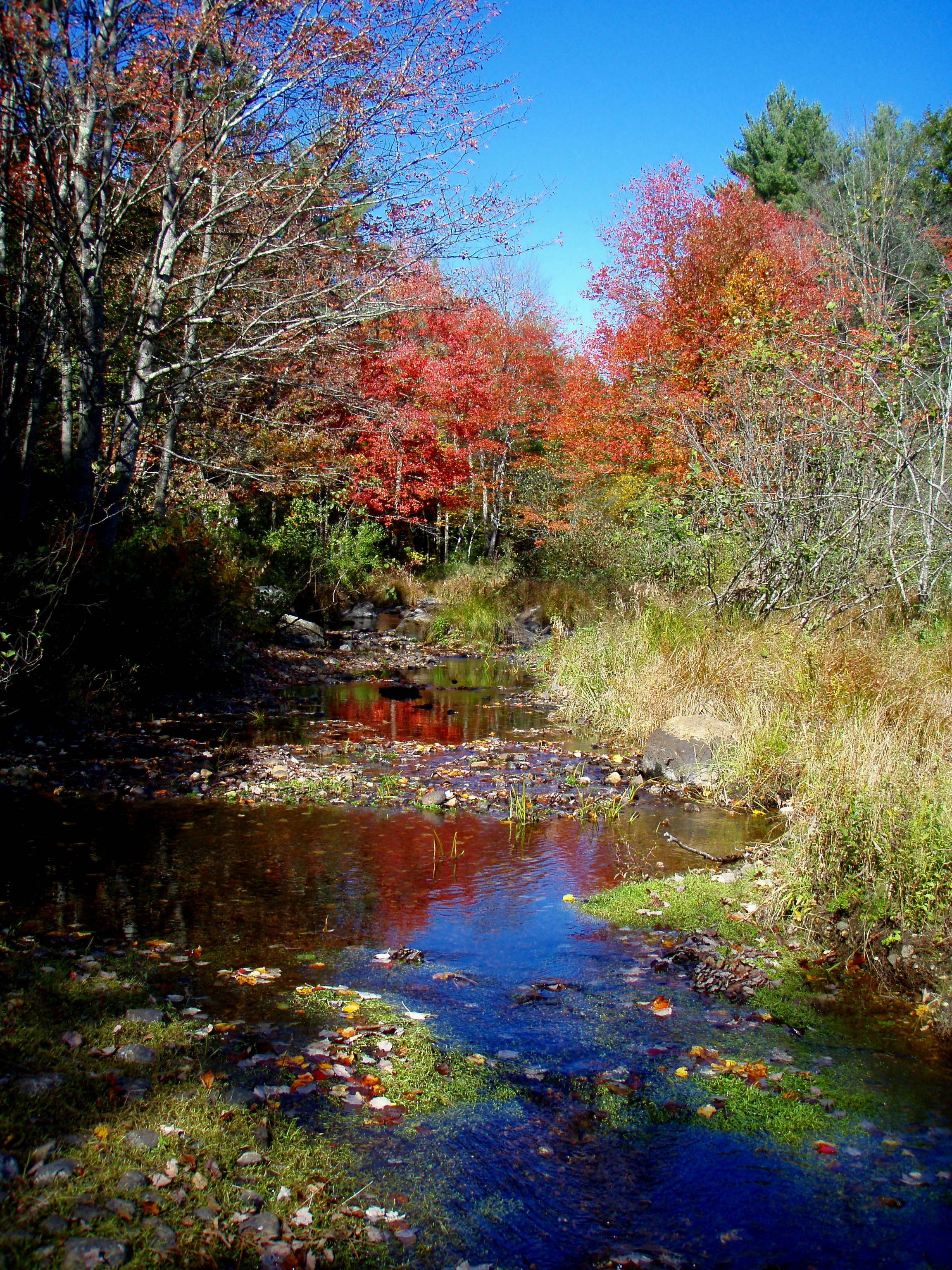
Reflective Foliage
Berry's River
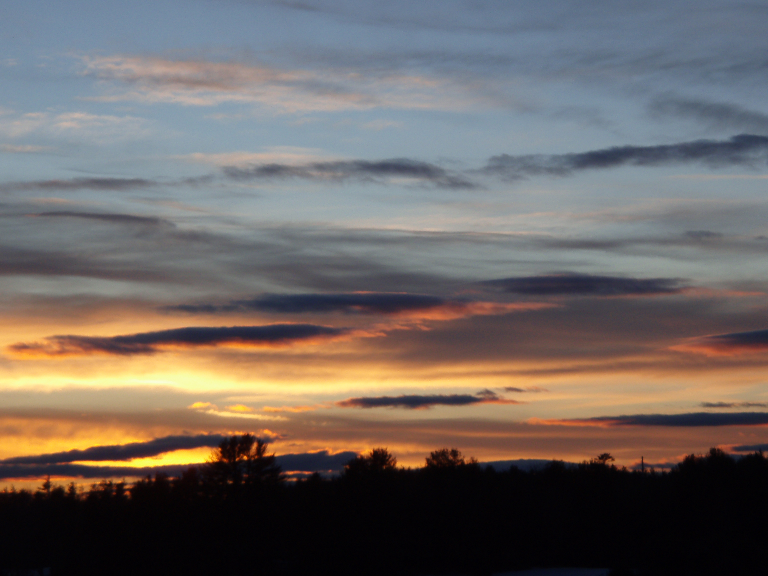
2/15/10 Sunset from Gonic, NH
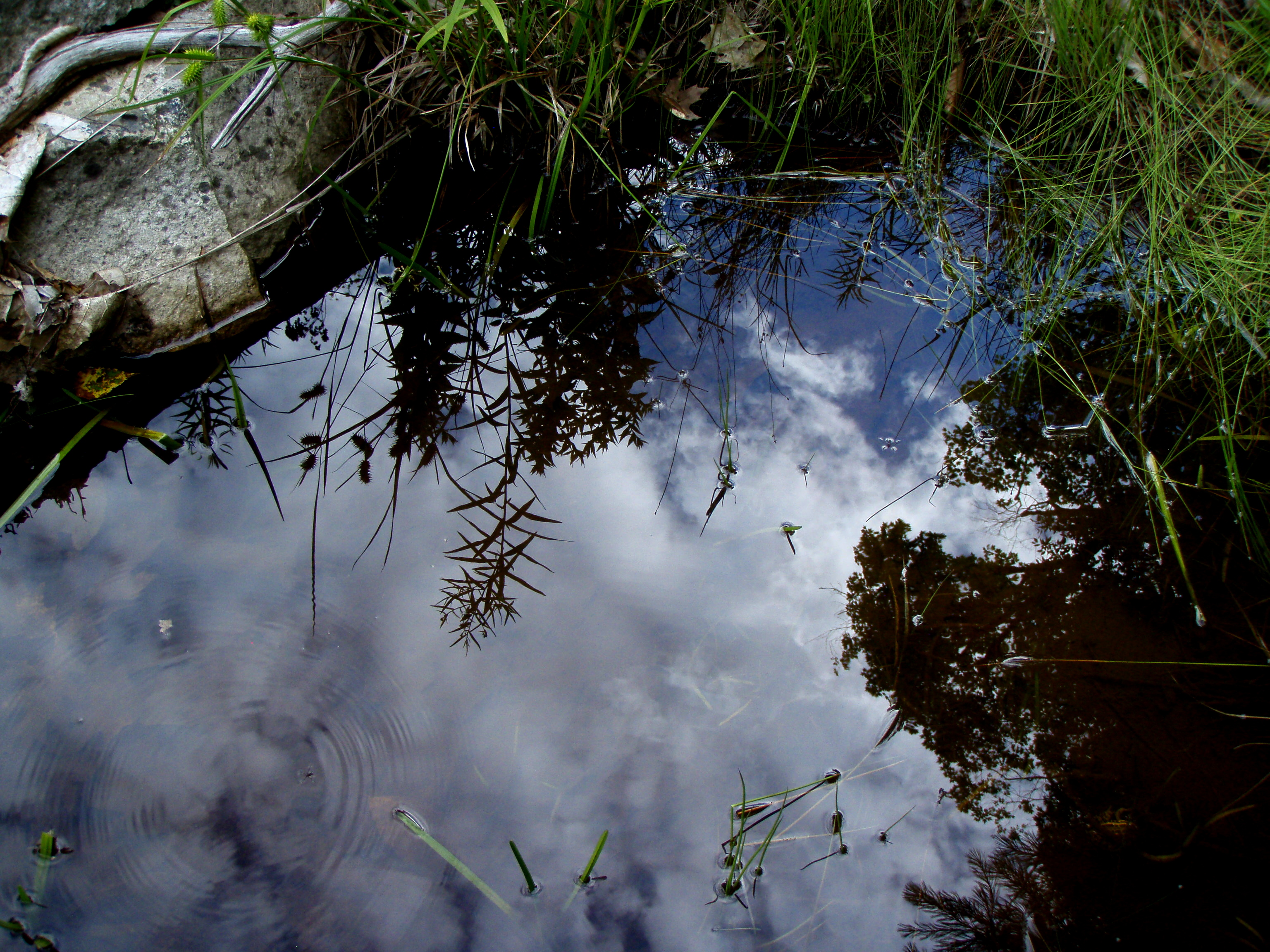
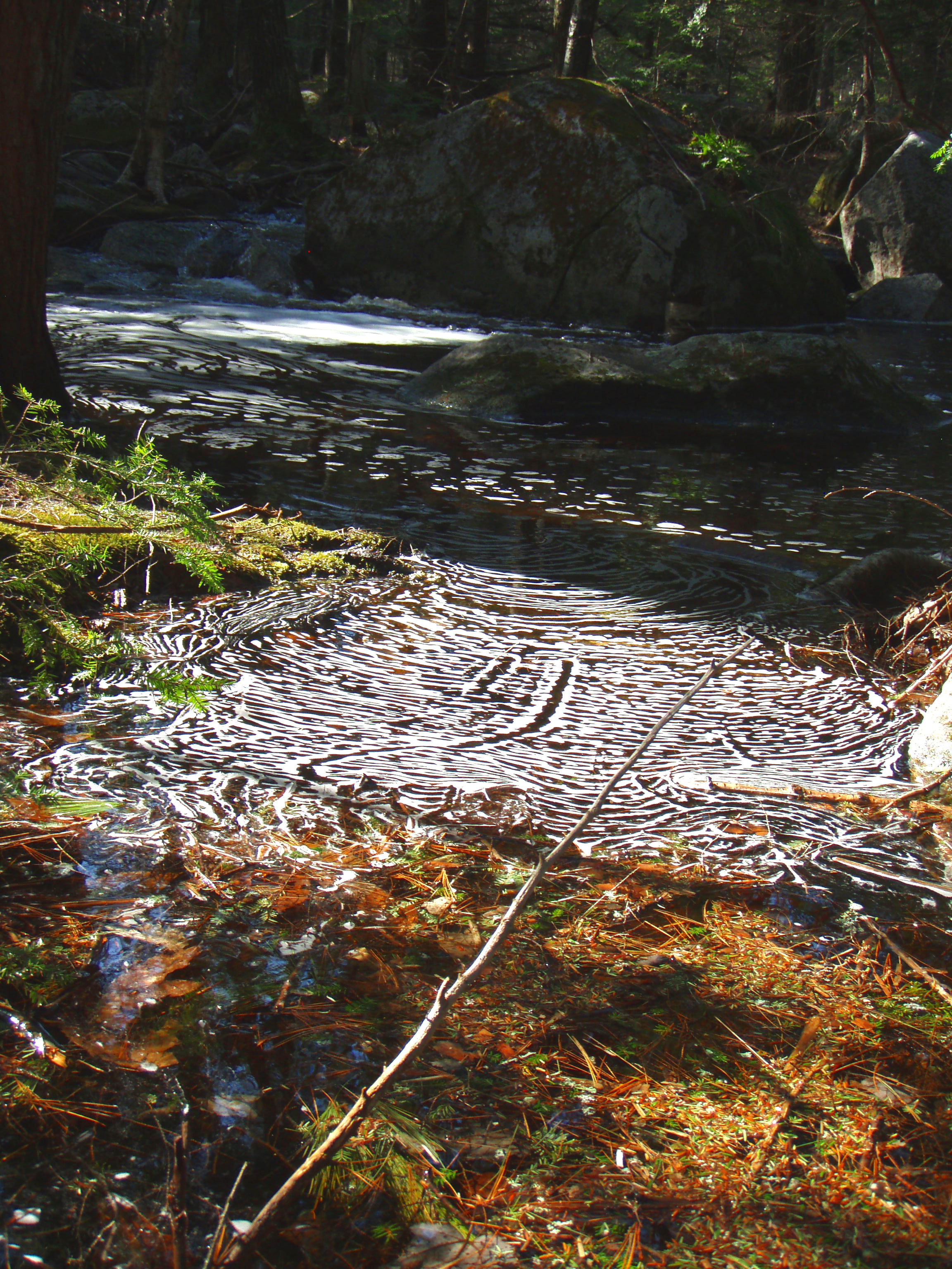
Reflection in a pool
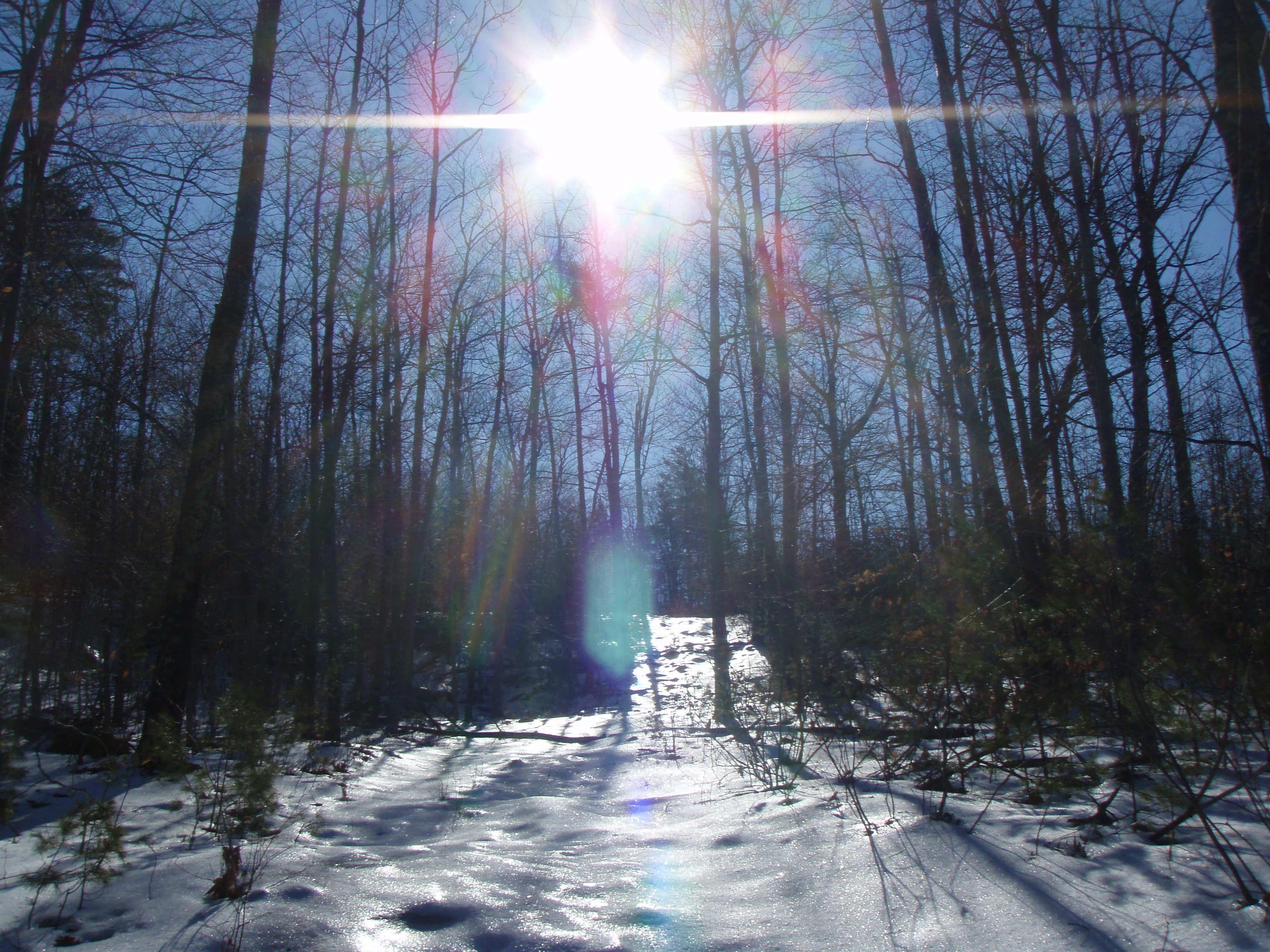
An shiny Burrows Farm Trail

Aphrodite Fratillary
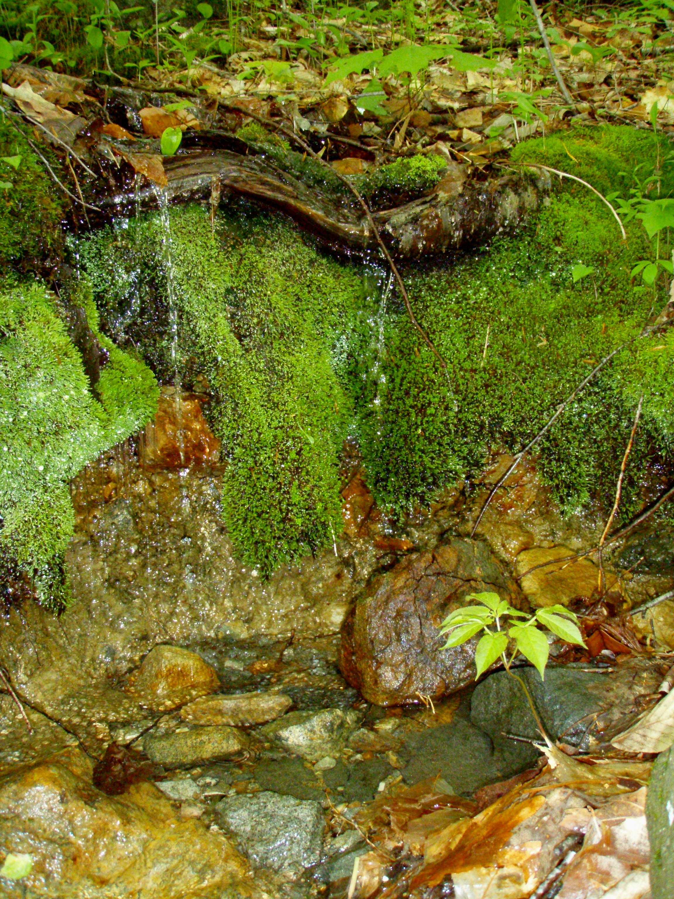
A Mossy Trickle
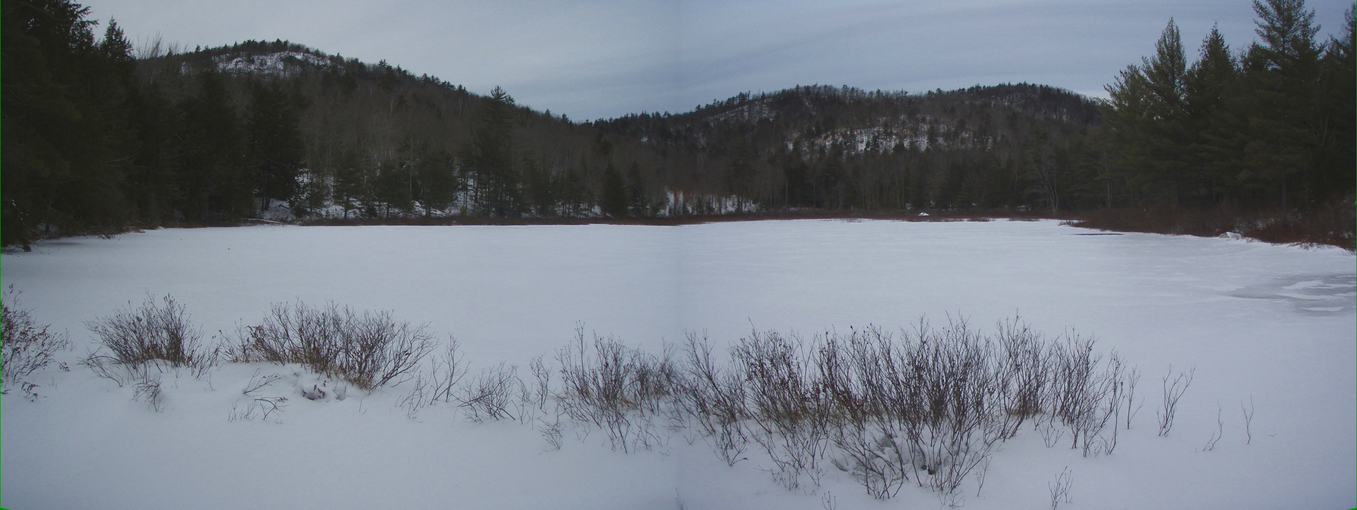
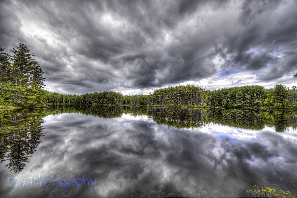
Bowser Pond 1.16.12 (pano)

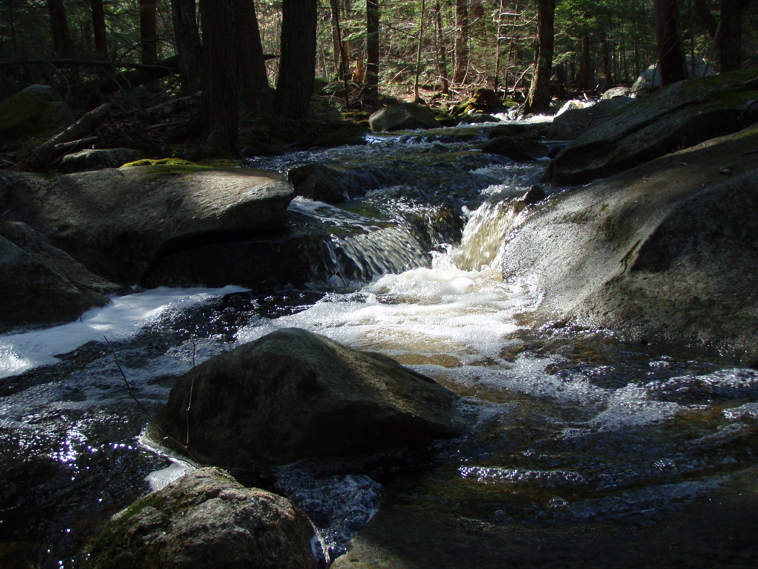
Burrows Brook

An Icy Burrows Brook

Burrows Field

An Icy Burrows Brook
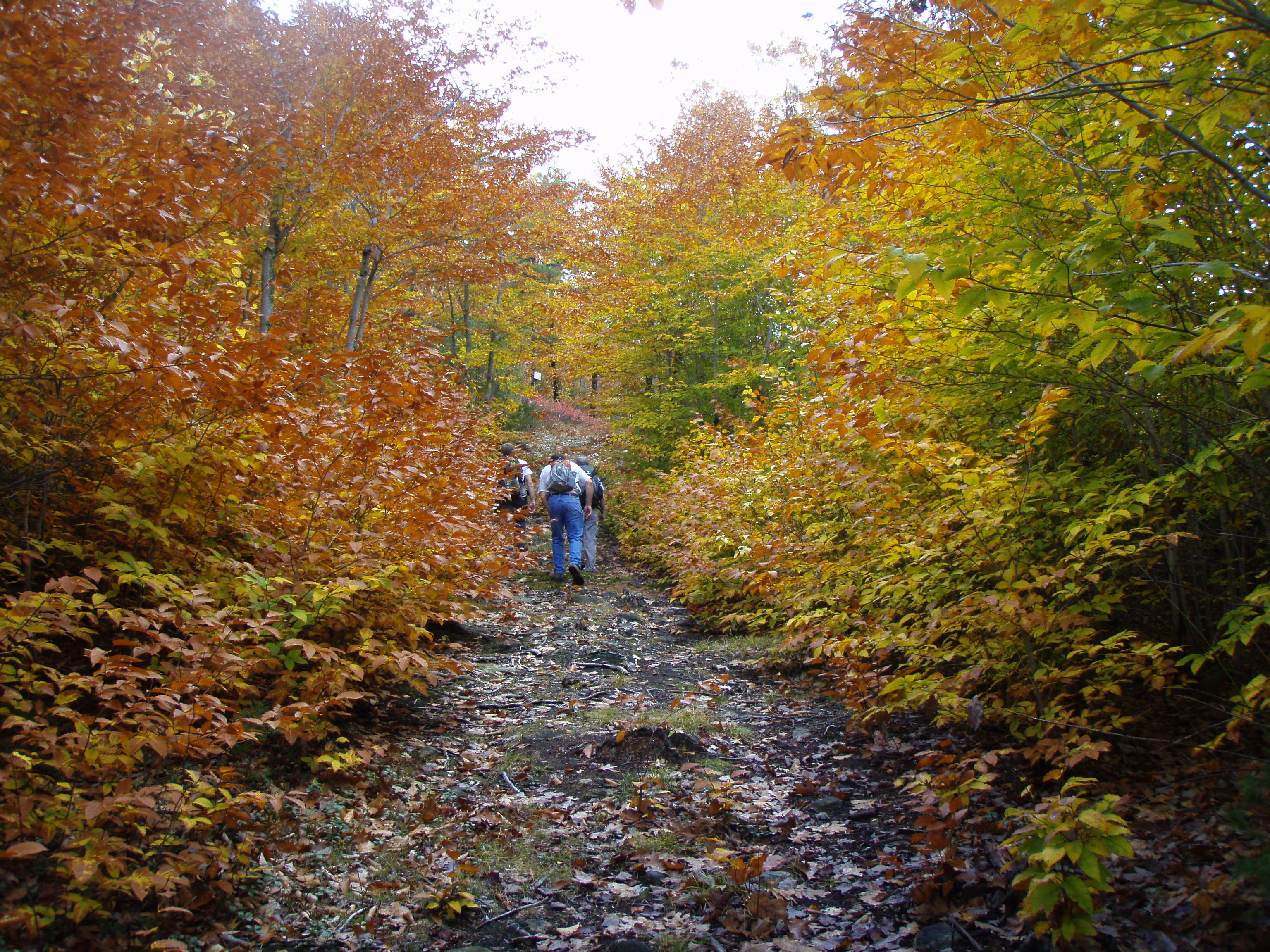
Foliage along Burrows Farm trail
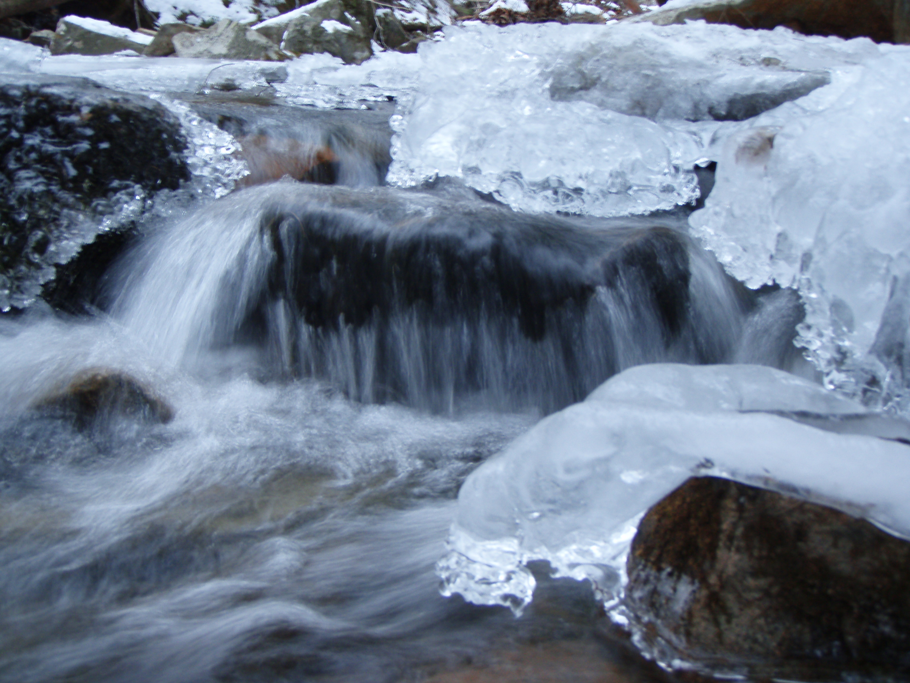
An Icy Burrows Brook
Beauty Knob

Burrows brook
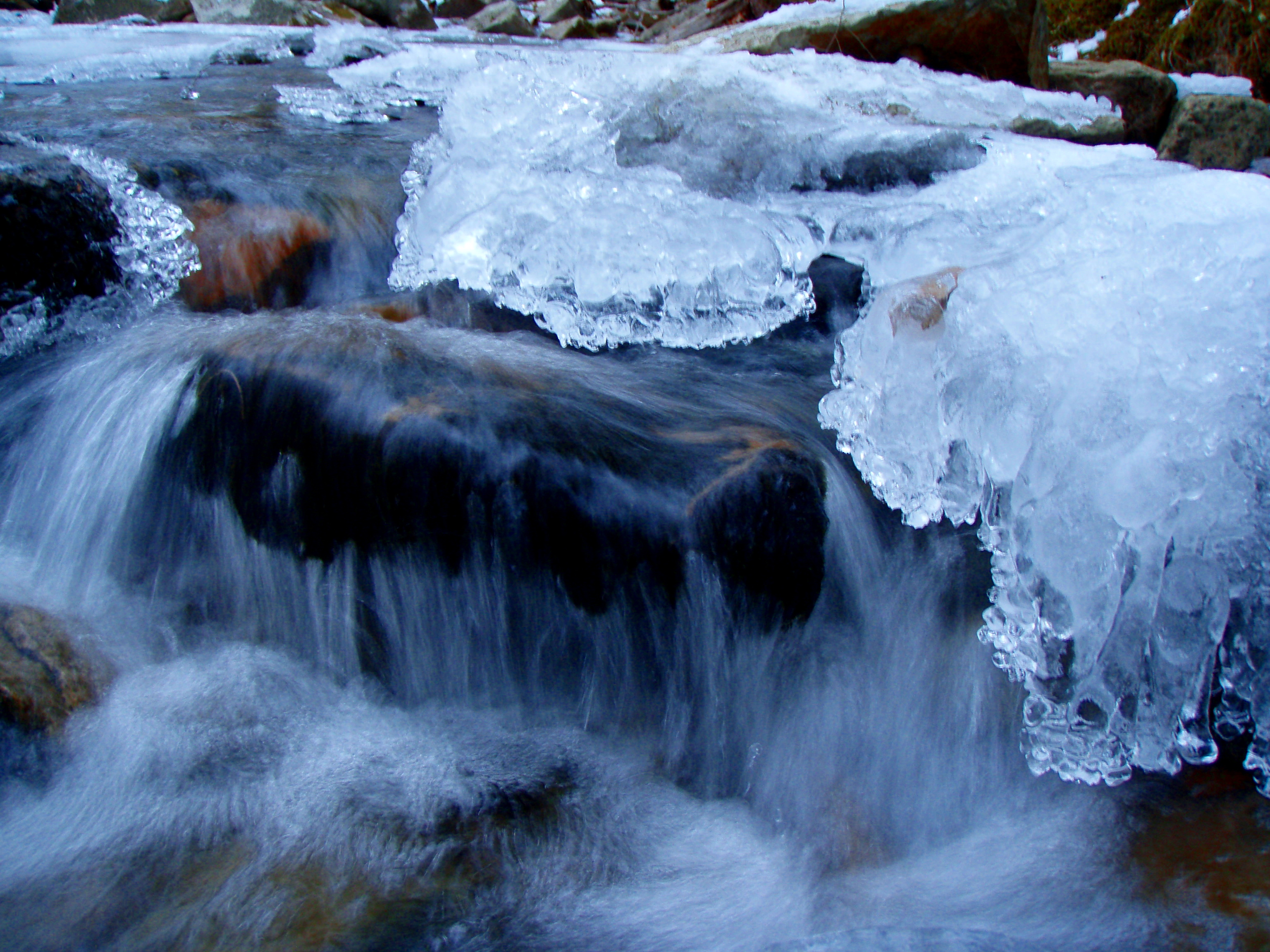
An Icy Burrows Brook
Topographic Map of Farmington, NH, USA
Find elevation by address:

Places in Farmington, NH, USA:
Places near Farmington, NH, USA:
Farmington
17 Civic St
51 Civic St
1 Charles St
10 Mooney St
New Hampshire 11
143 Main St
46 Campbell Dr
Farmington
23 Ten Rod Rd, Farmington, NH, USA
Ten Rod Farm
1162 Meaderboro Rd
57 Jenkins Rd
Blue Job Mountain
140 Ten Rod Rd
30 Meaderboro Rd
1194 First Crown Point Rd
407 Berry Rd
250 Berry Rd
81 Meaderboro Rd
Recent Searches:
- Elevation of Corso Fratelli Cairoli, 35, Macerata MC, Italy
- Elevation of Tallevast Rd, Sarasota, FL, USA
- Elevation of 4th St E, Sonoma, CA, USA
- Elevation of Black Hollow Rd, Pennsdale, PA, USA
- Elevation of Oakland Ave, Williamsport, PA, USA
- Elevation of Pedrógão Grande, Portugal
- Elevation of Klee Dr, Martinsburg, WV, USA
- Elevation of Via Roma, Pieranica CR, Italy
- Elevation of Tavkvetili Mountain, Georgia
- Elevation of Hartfords Bluff Cir, Mt Pleasant, SC, USA