Elevation of 51 Civic St, Farmington, NH, USA
Location: United States > New Hampshire > Strafford County > Farmington > Farmington > Farmington >
Longitude: -71.060617
Latitude: 43.3917688
Elevation: 85m / 279feet
Barometric Pressure: 100KPa
Elevation Map:
Satellite Map:
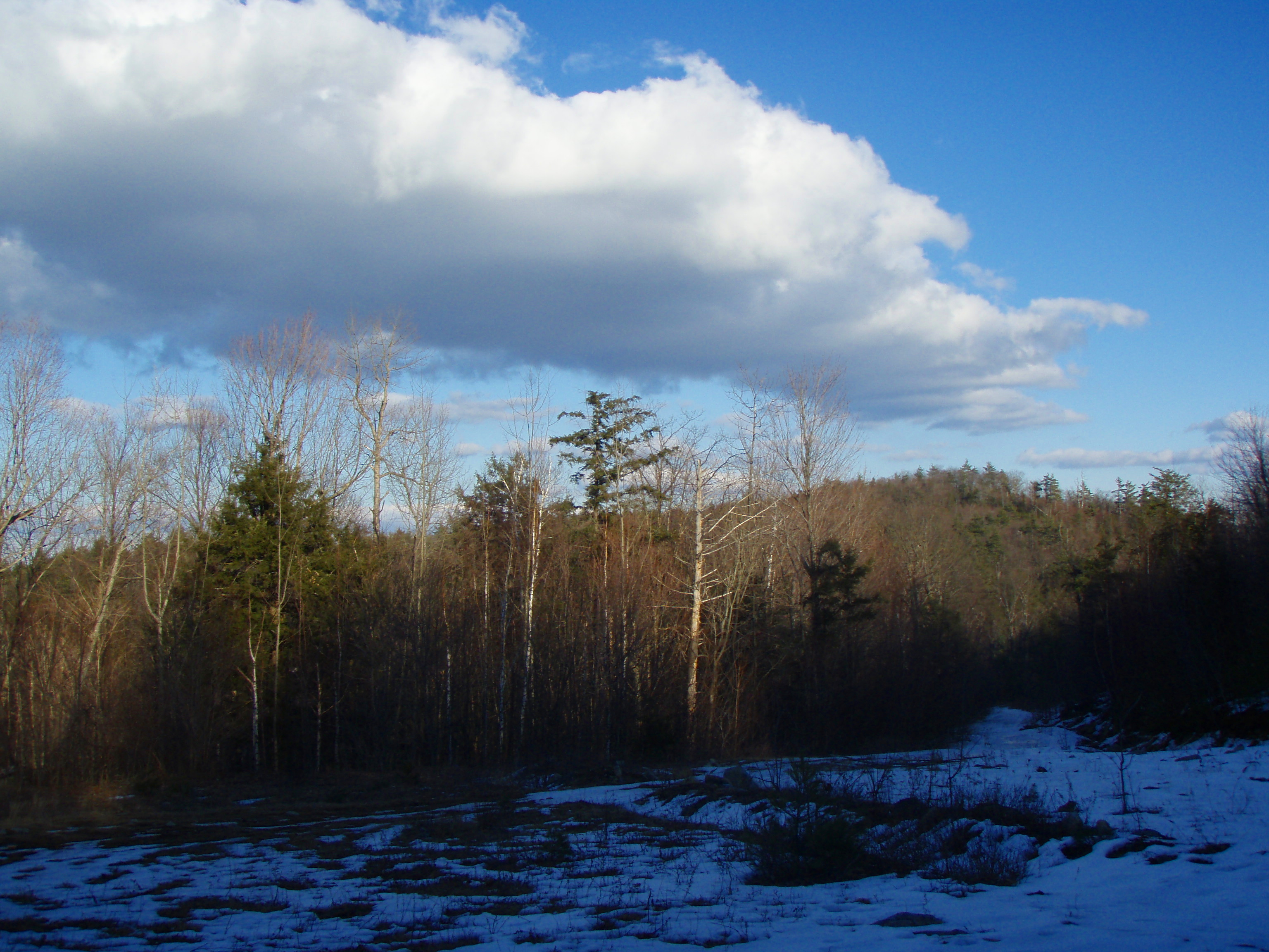
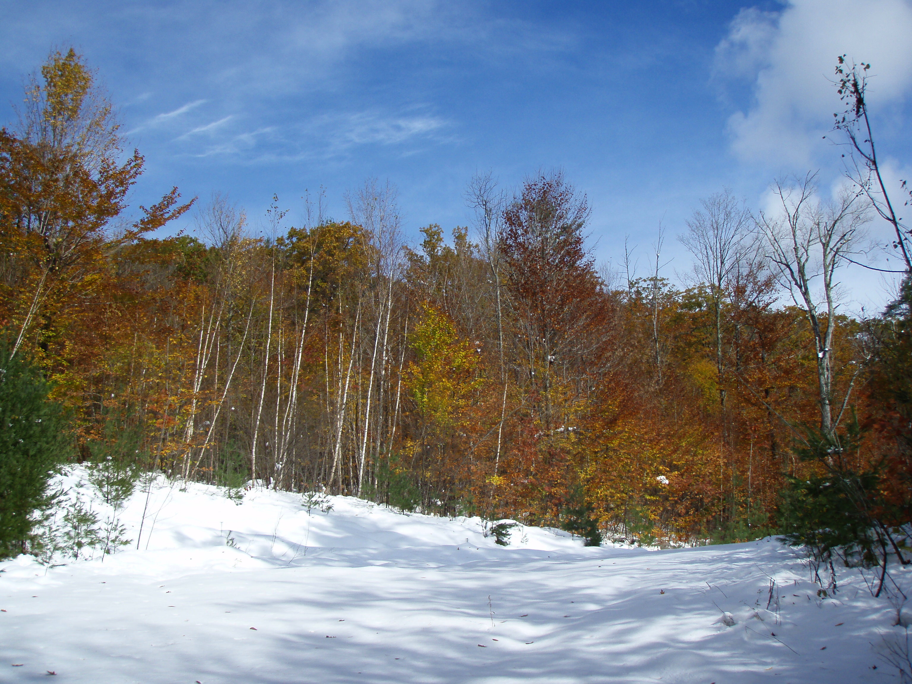
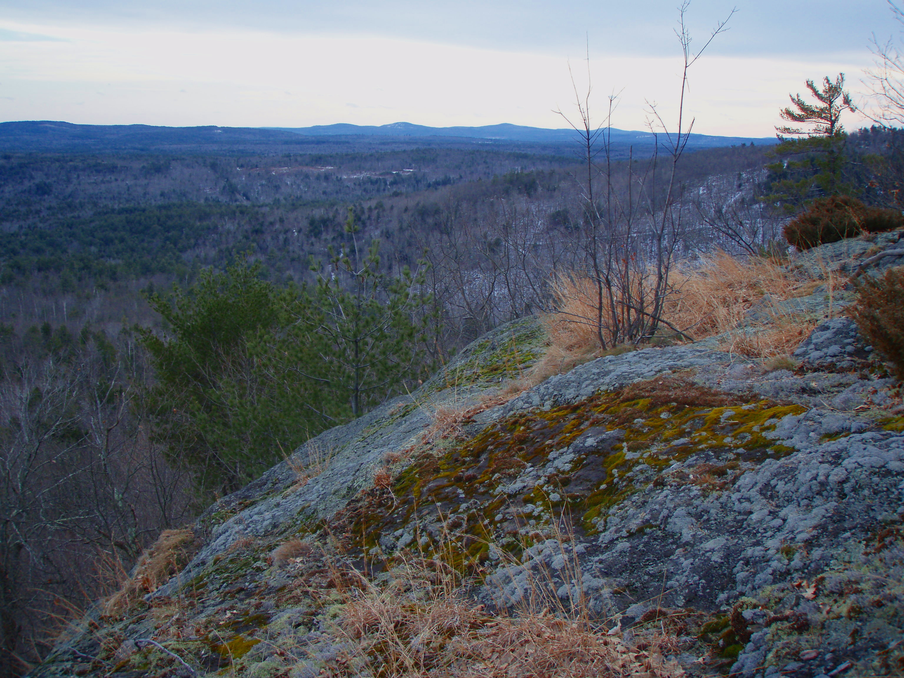
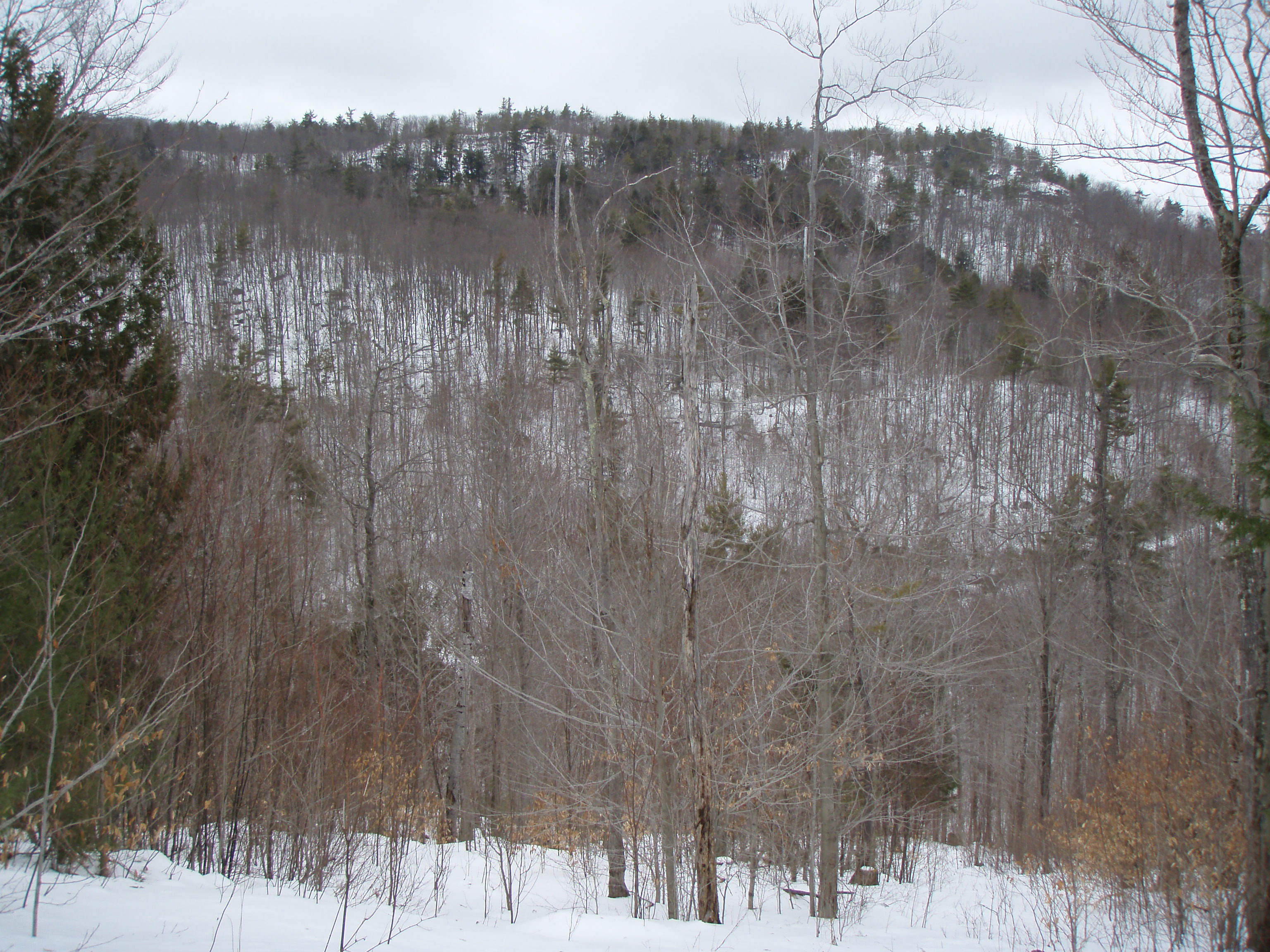
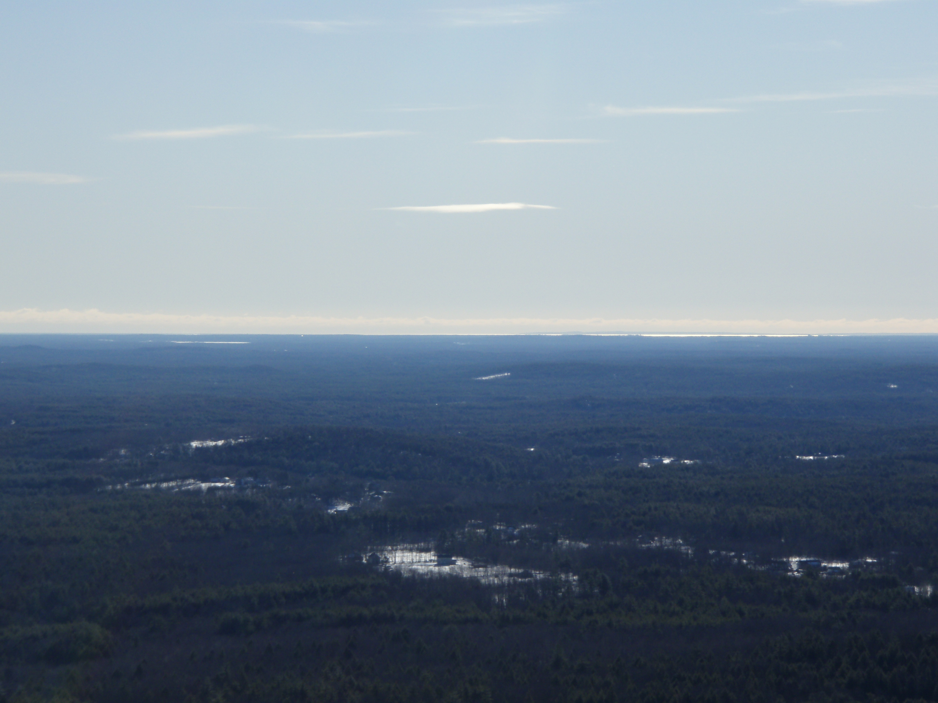
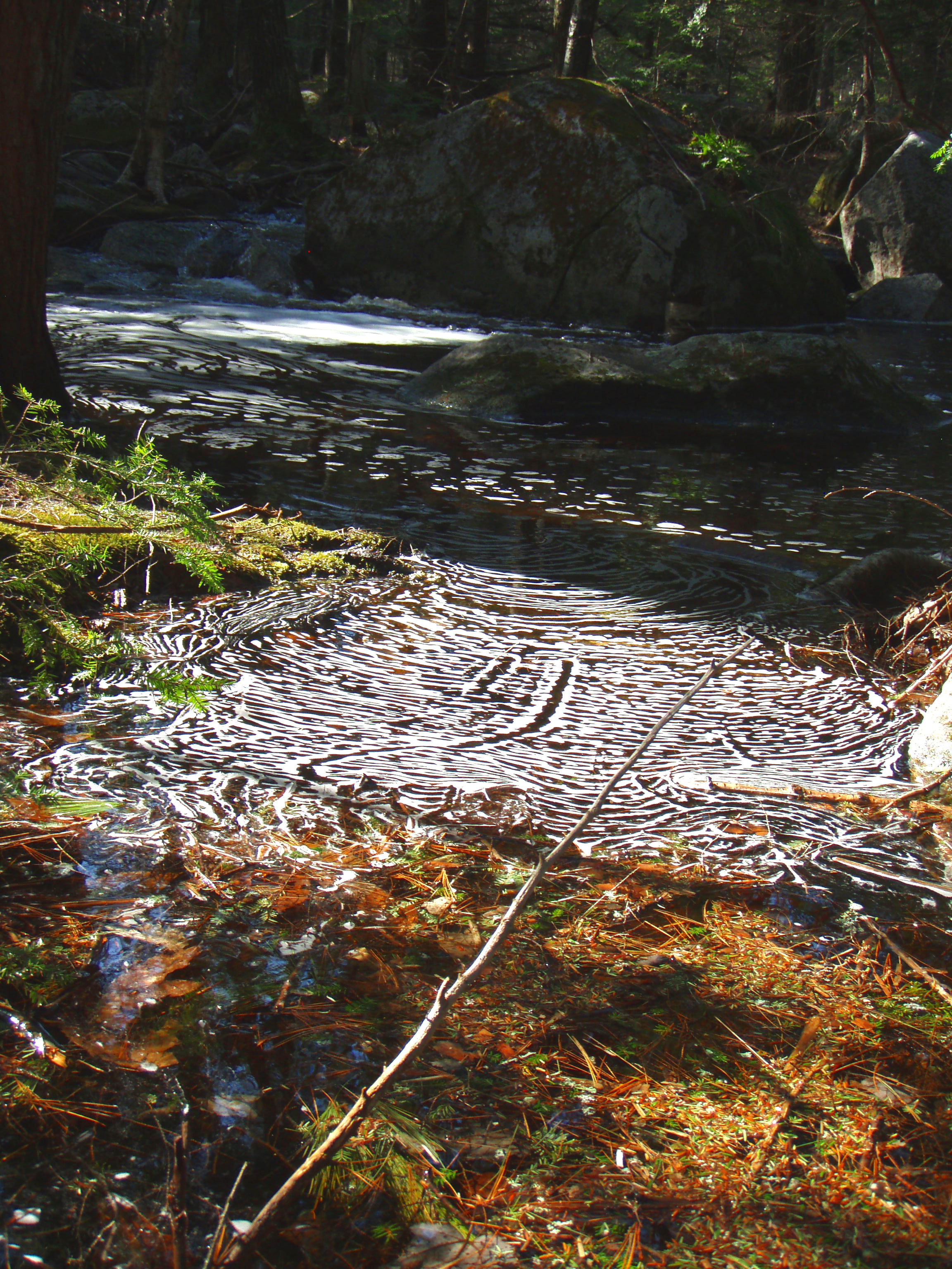
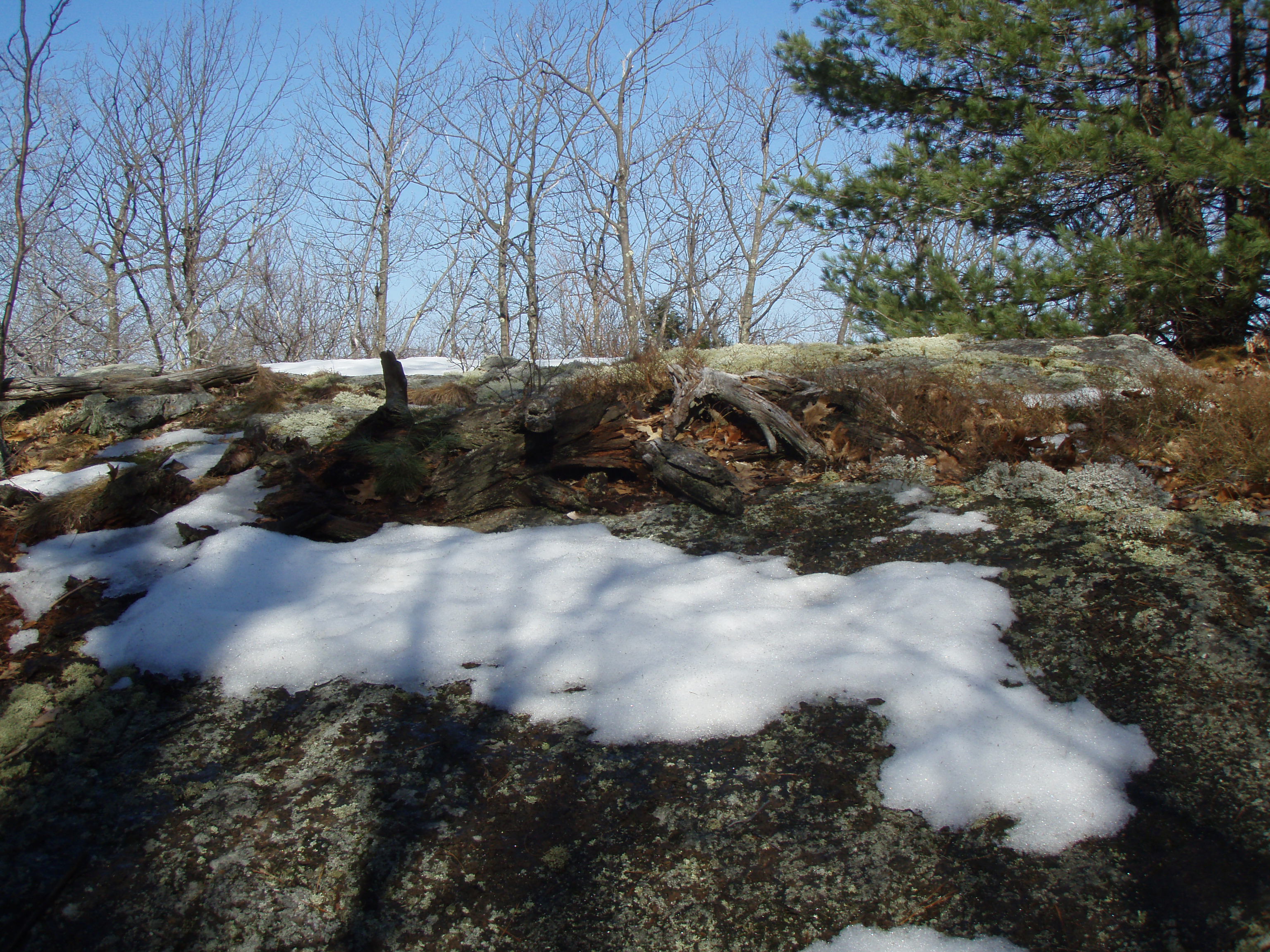
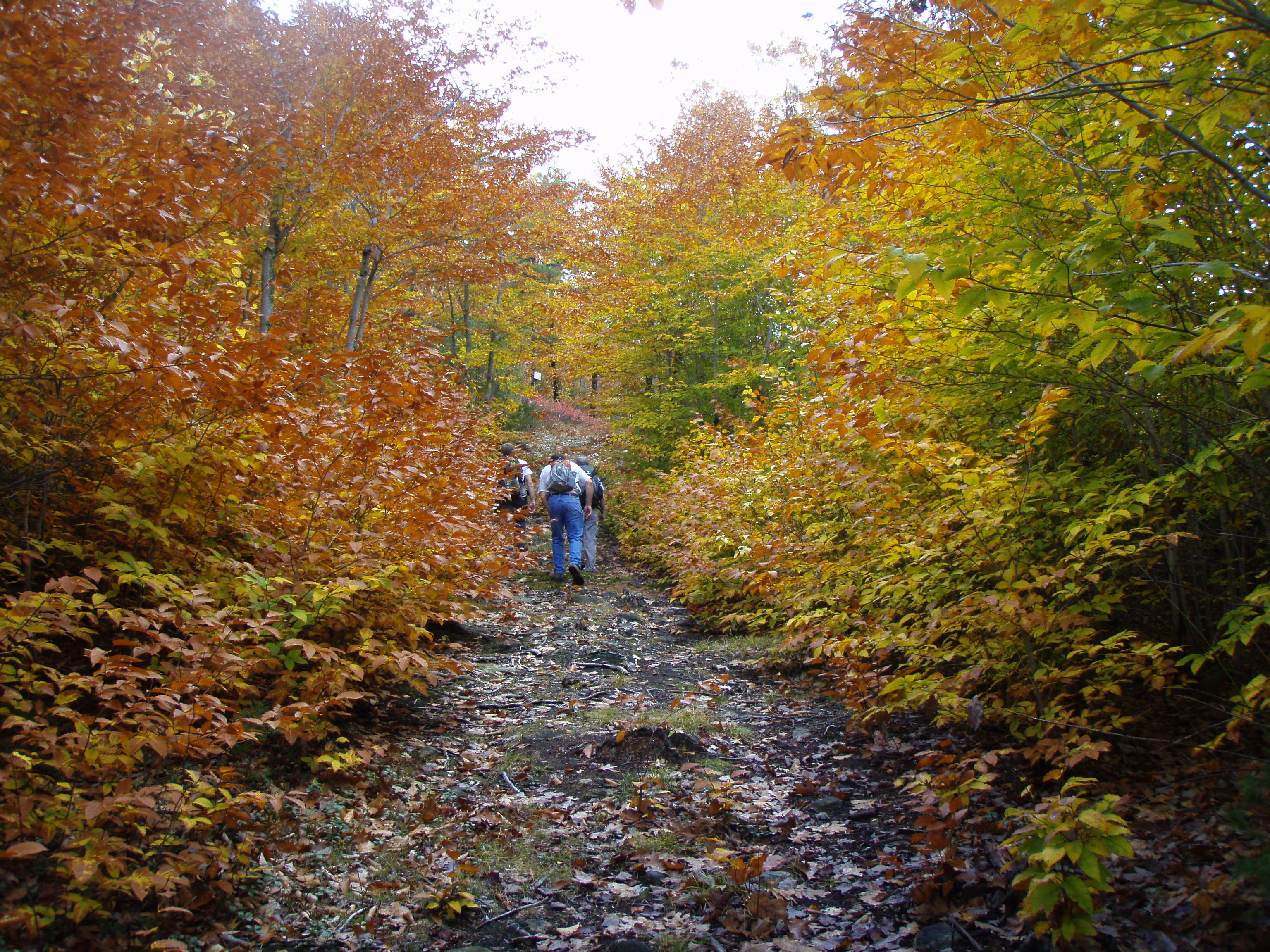
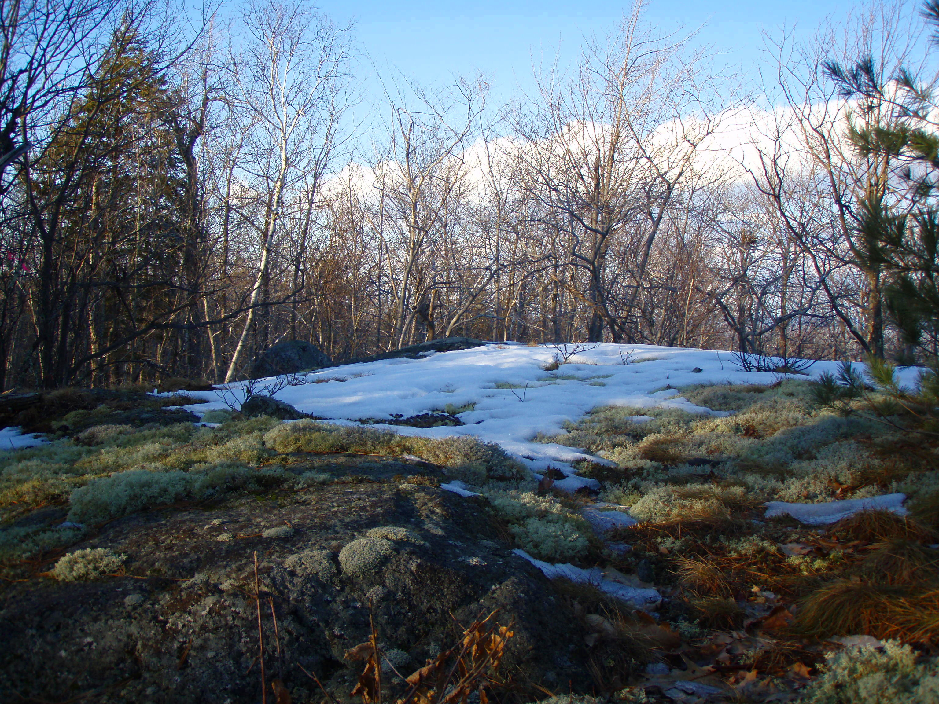
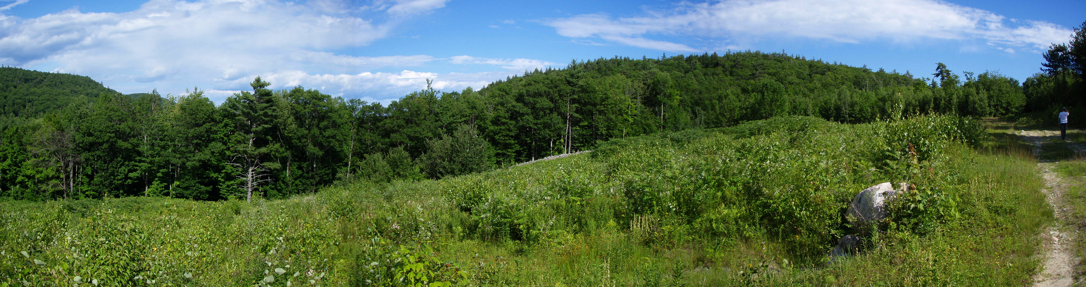
Related Photos:
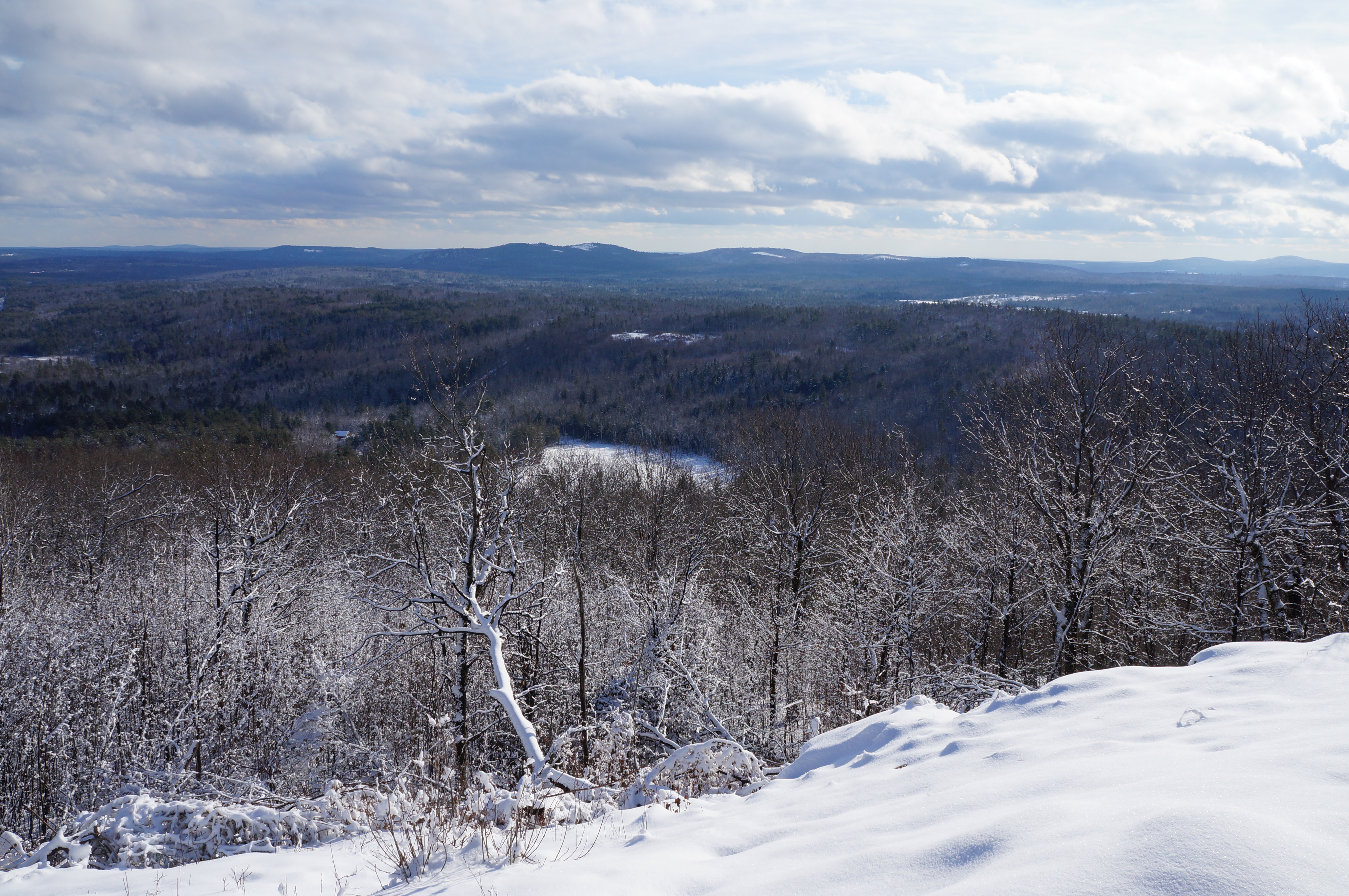
View from upper landing on North Trail
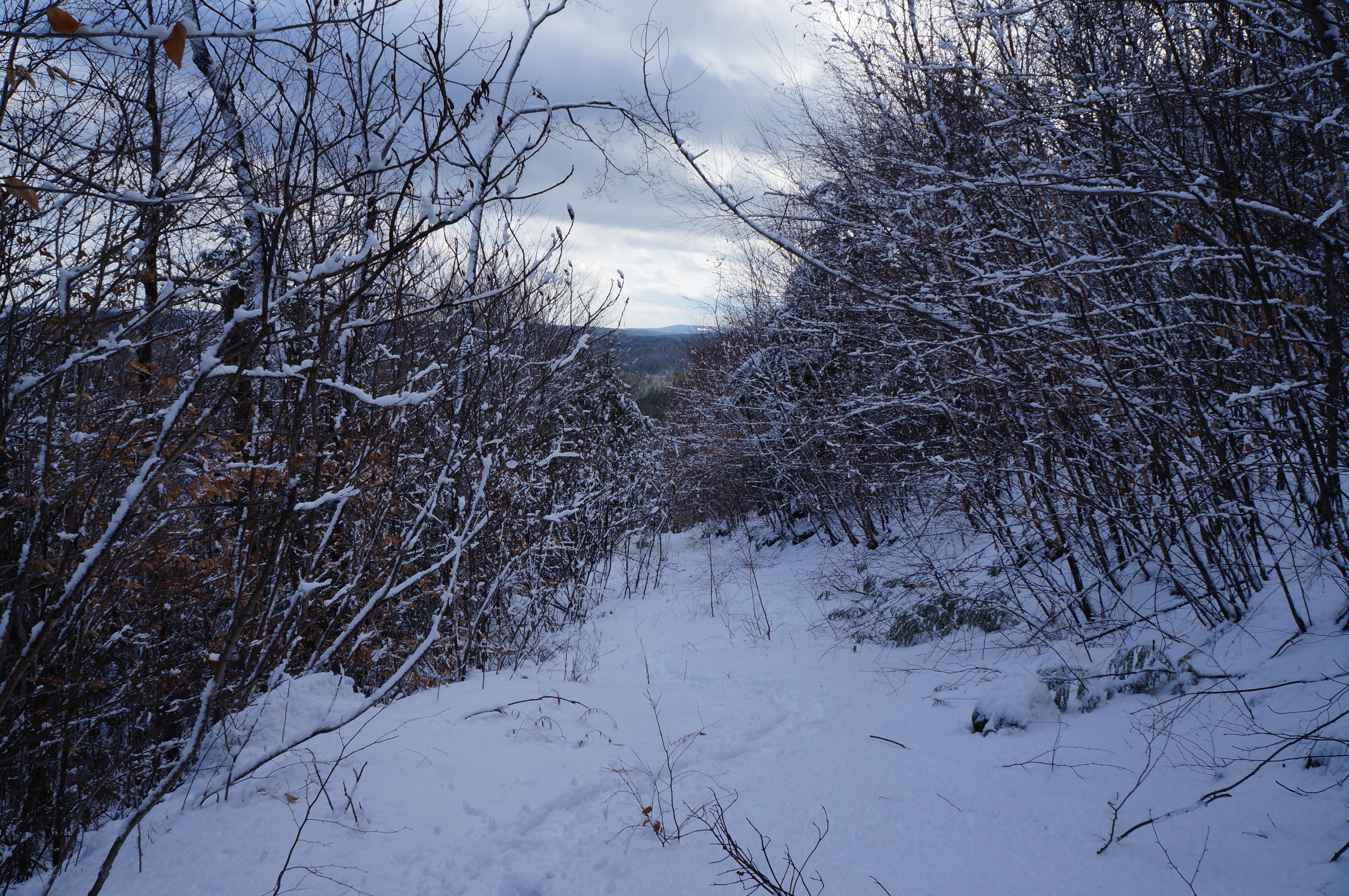
North View trail

View from Little Baldy Pan
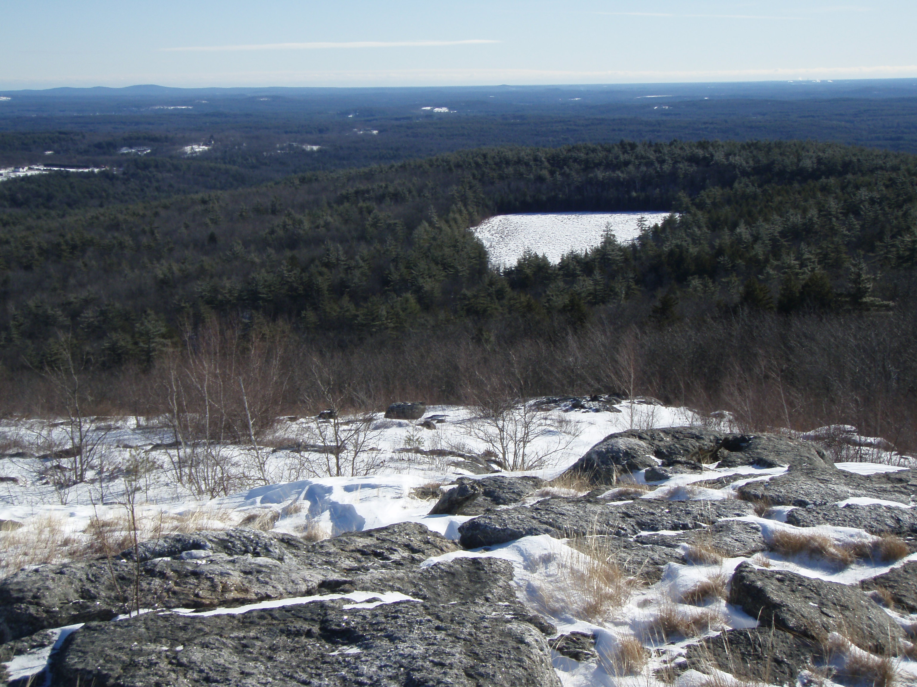
Beauty Ledge view
View to Beauty & Boulder ledges
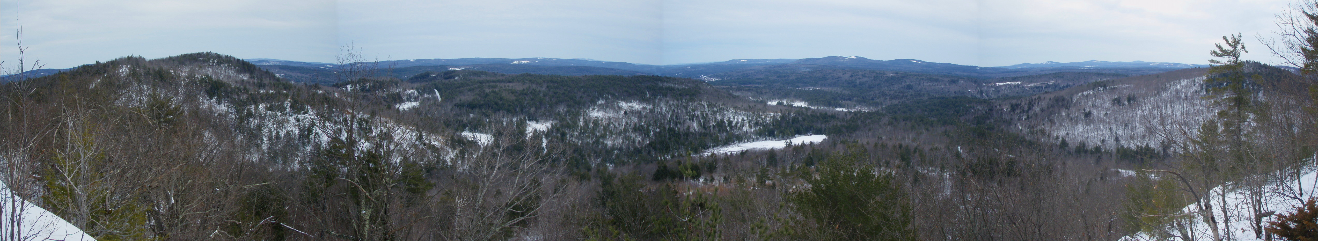
Beauty Ledge View 3-4-12 (pano)
View from Phoebe's Nable
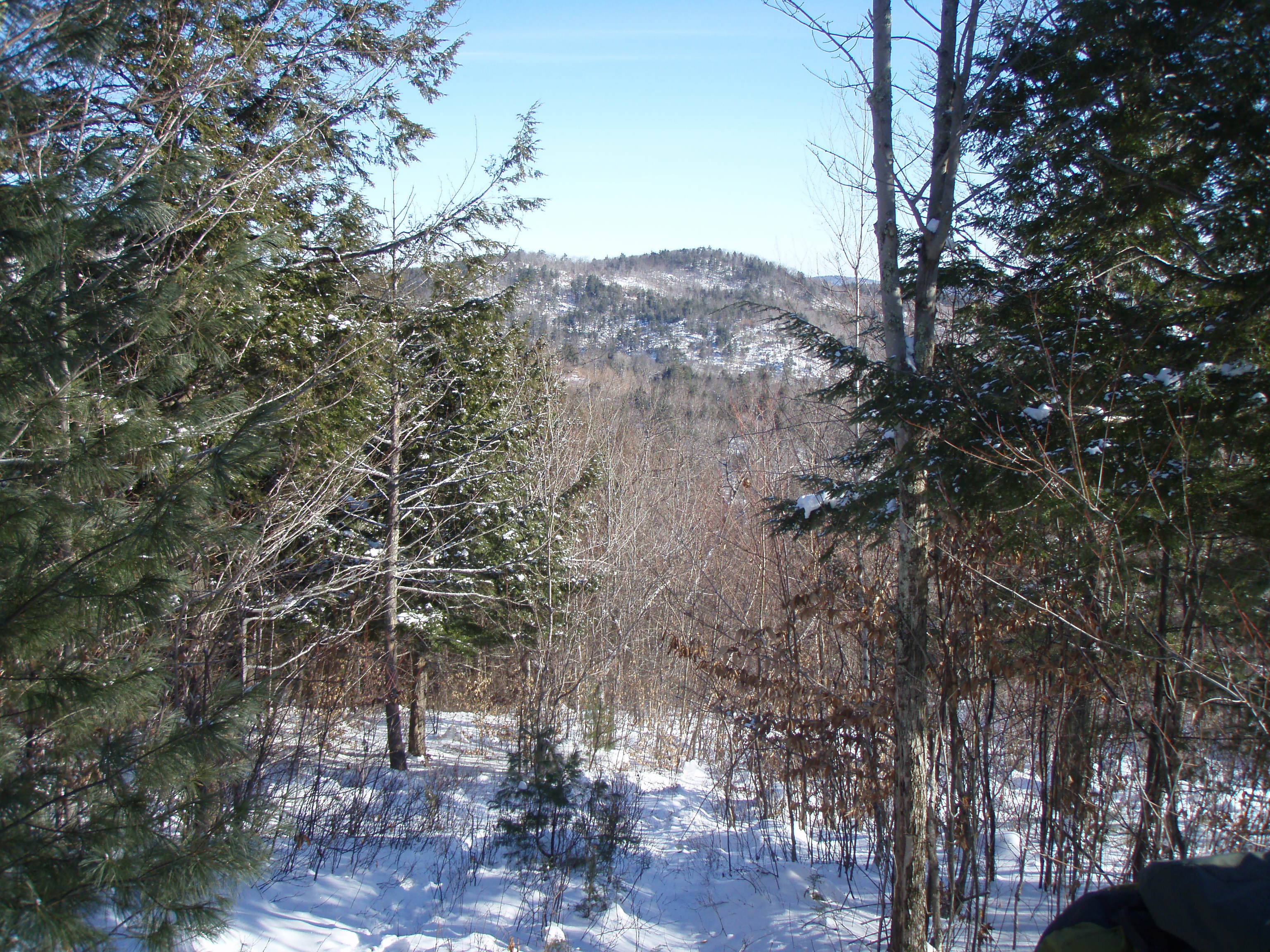
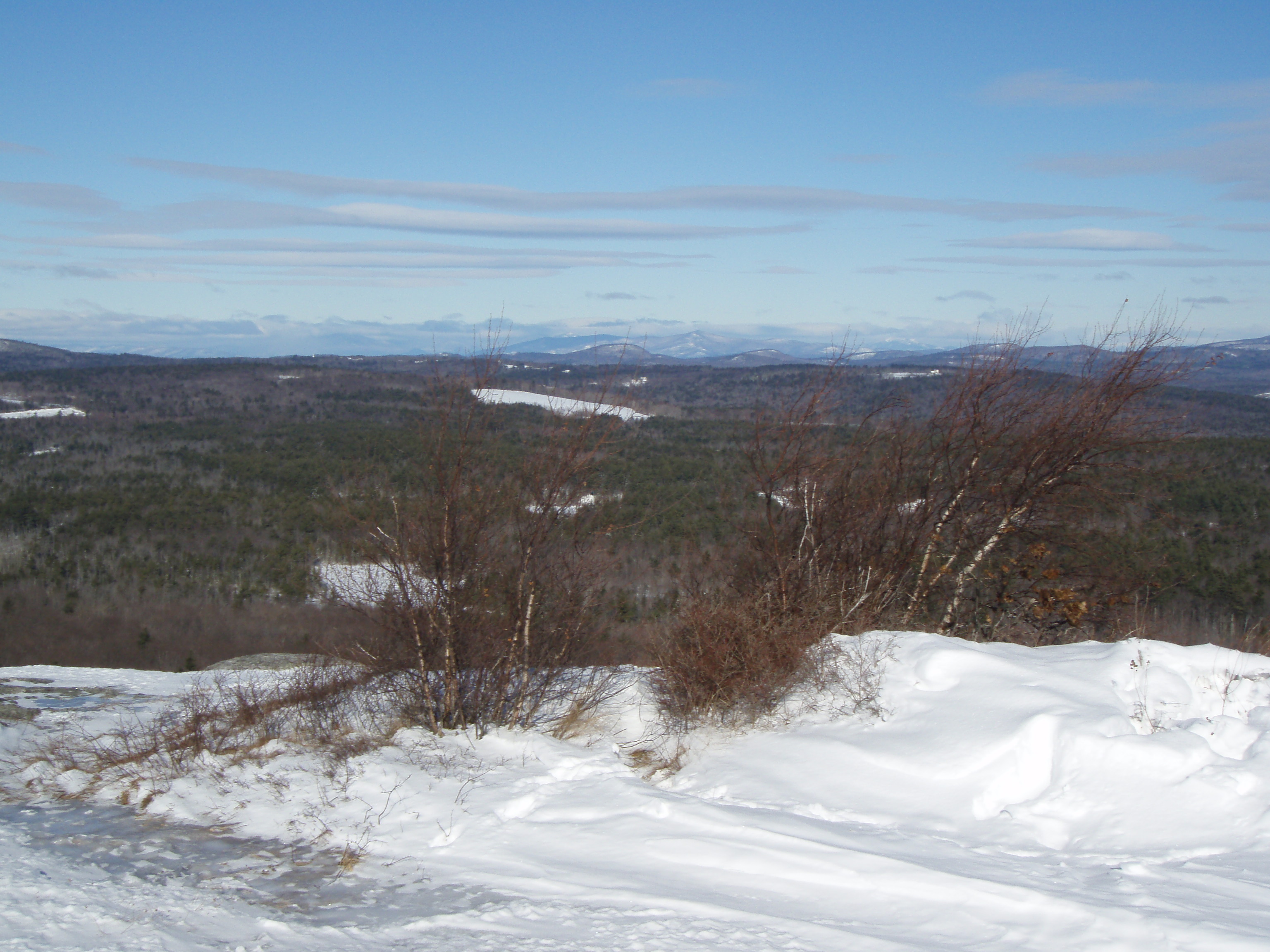
View up to Moose Mountains
View from Phoebes Nable Mt. summit
View East from Little Baldy

Beauty Ledge 180* View (pano)
Beauty Ledge view

Into the Cloud

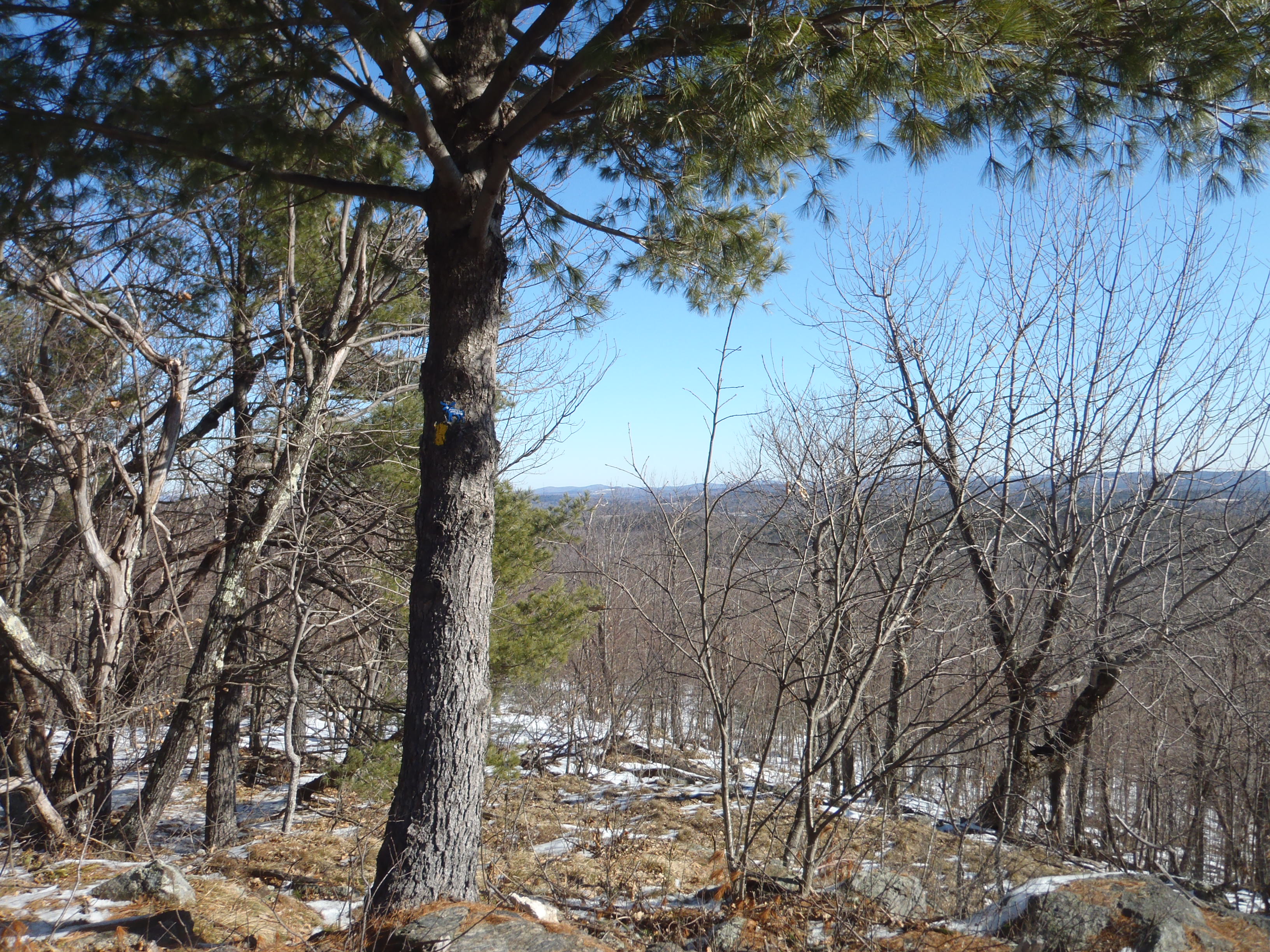
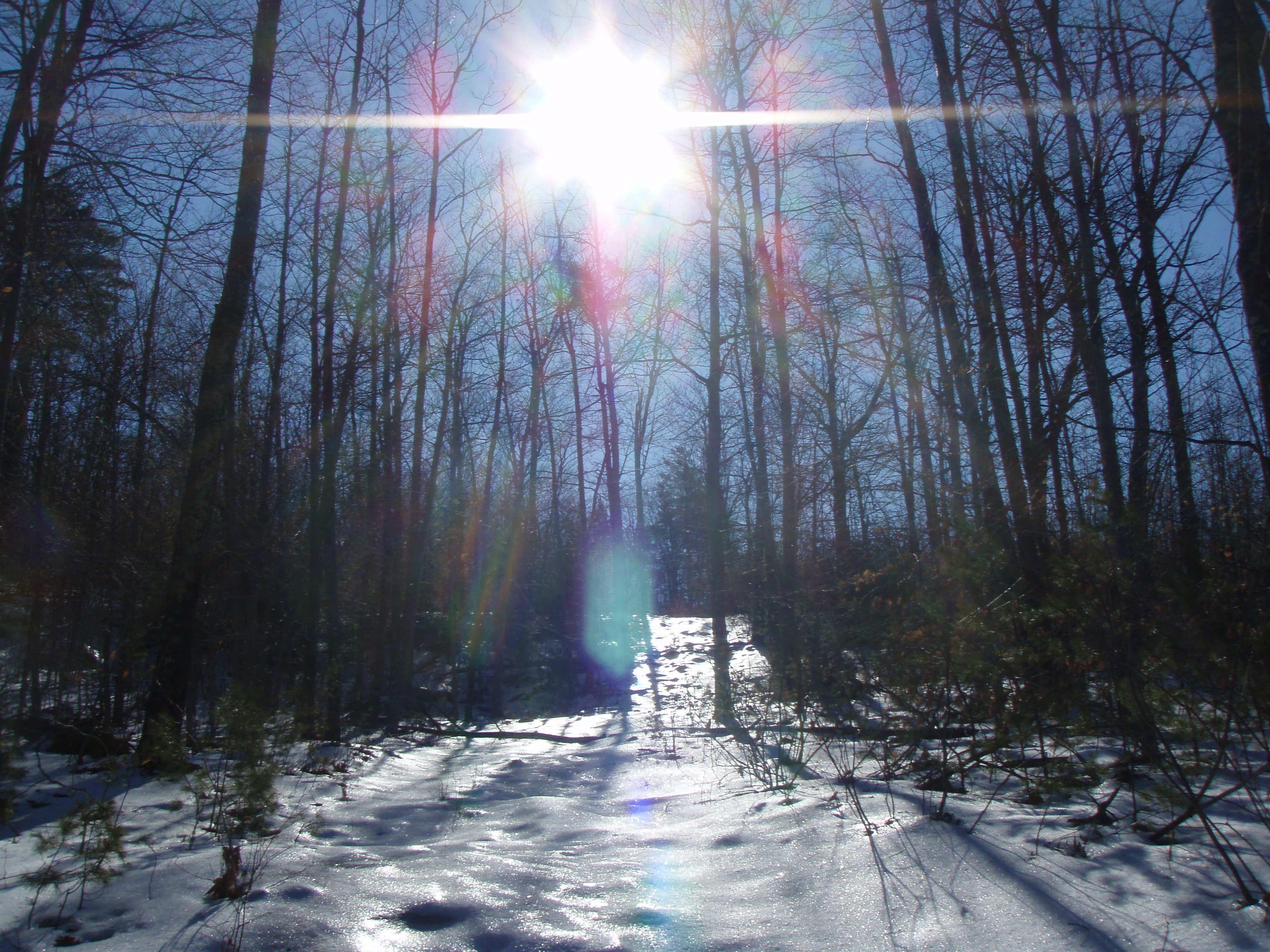
View through the trees to Moose Mountains
View North from Little Baldy
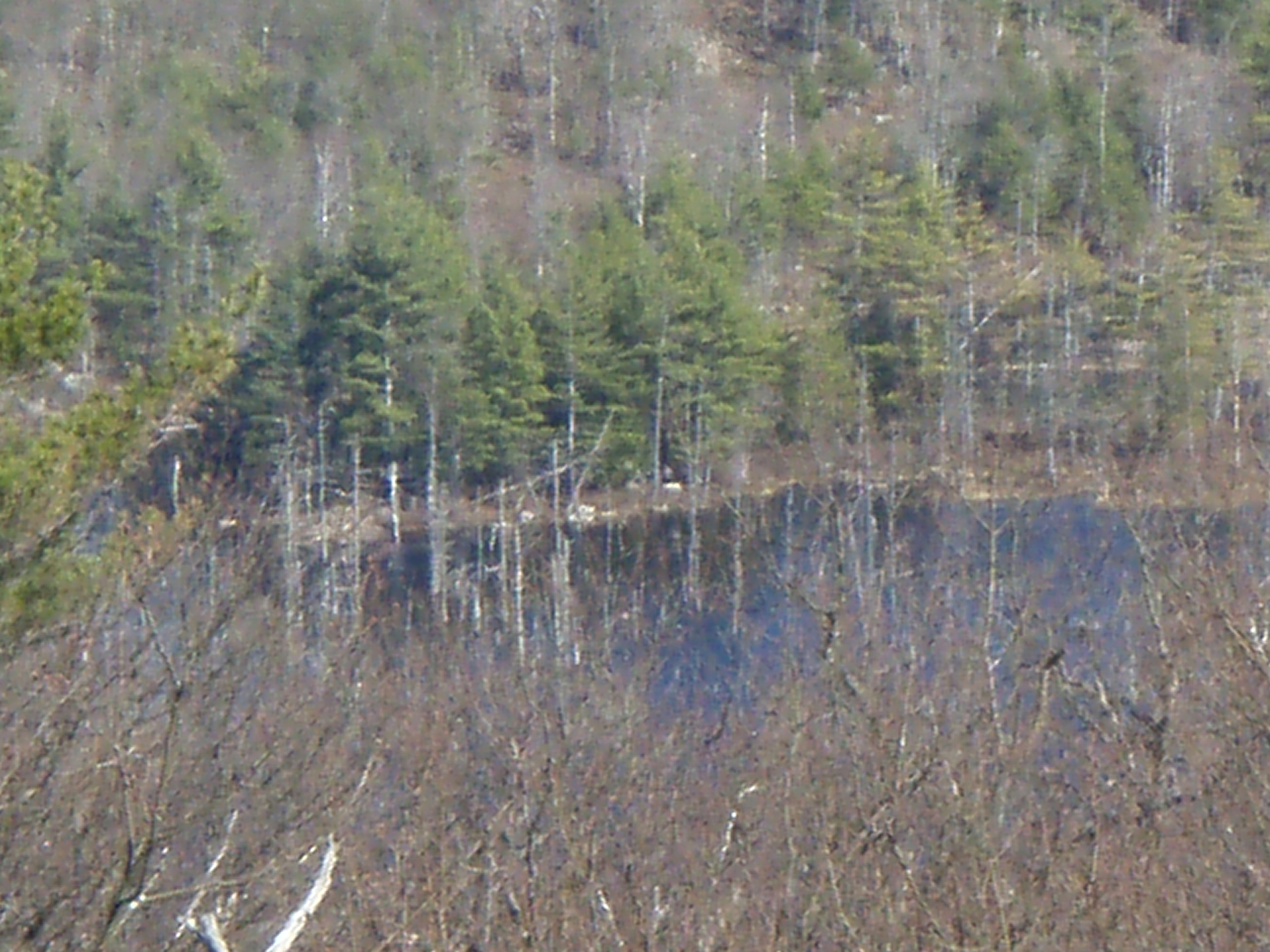
Heron Rookery as viewed from Phoebes Nable
Partial view down the steep hill of Phoebes Nable Mt. trail
View from the summit of Phoebes Nable Mt.
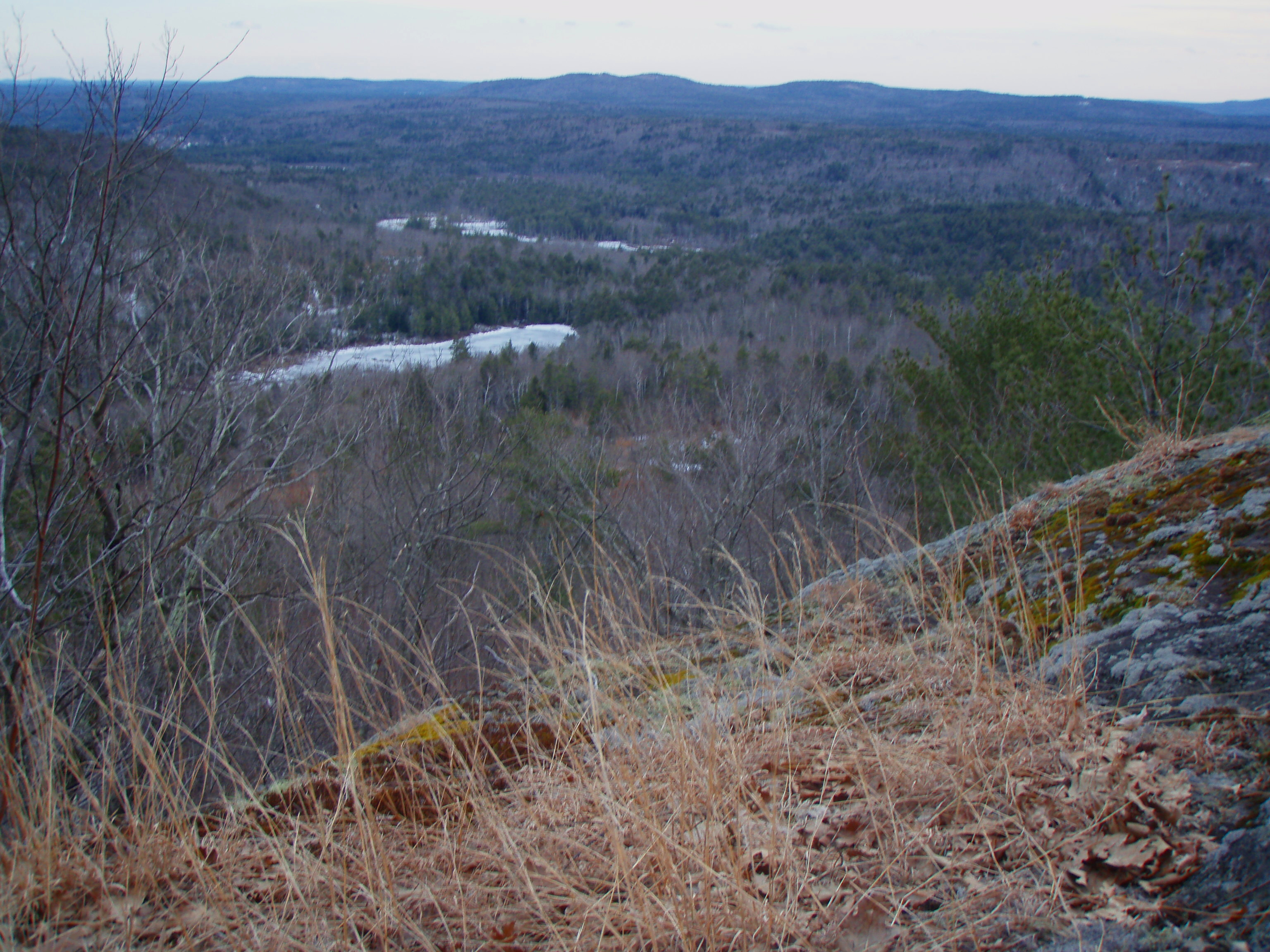
View South from Beauty Ledge
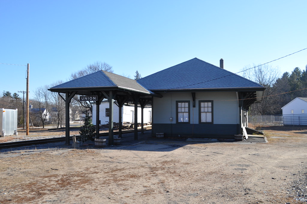
Union Station
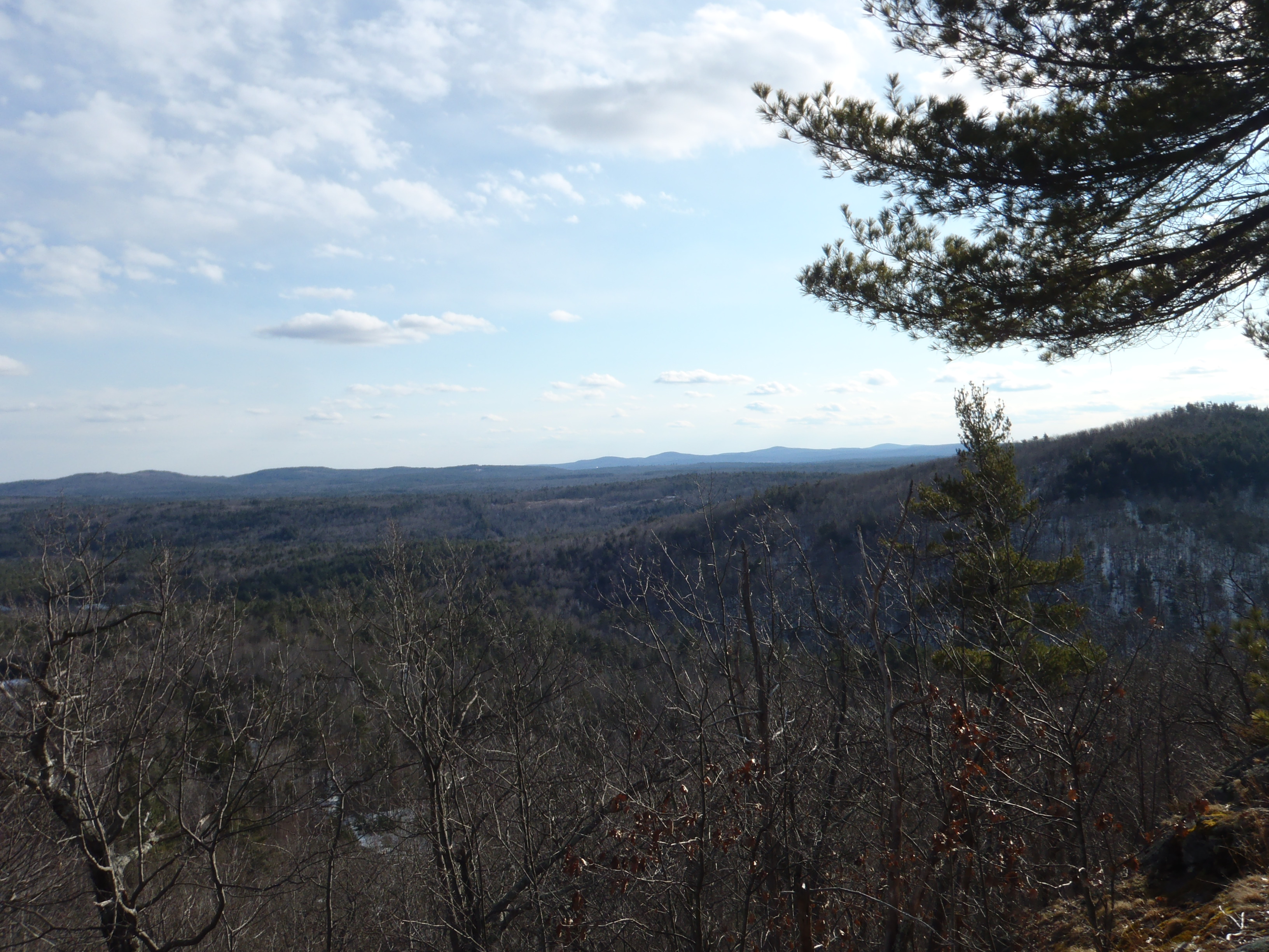
View from Tower
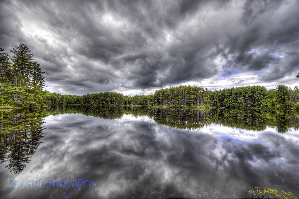
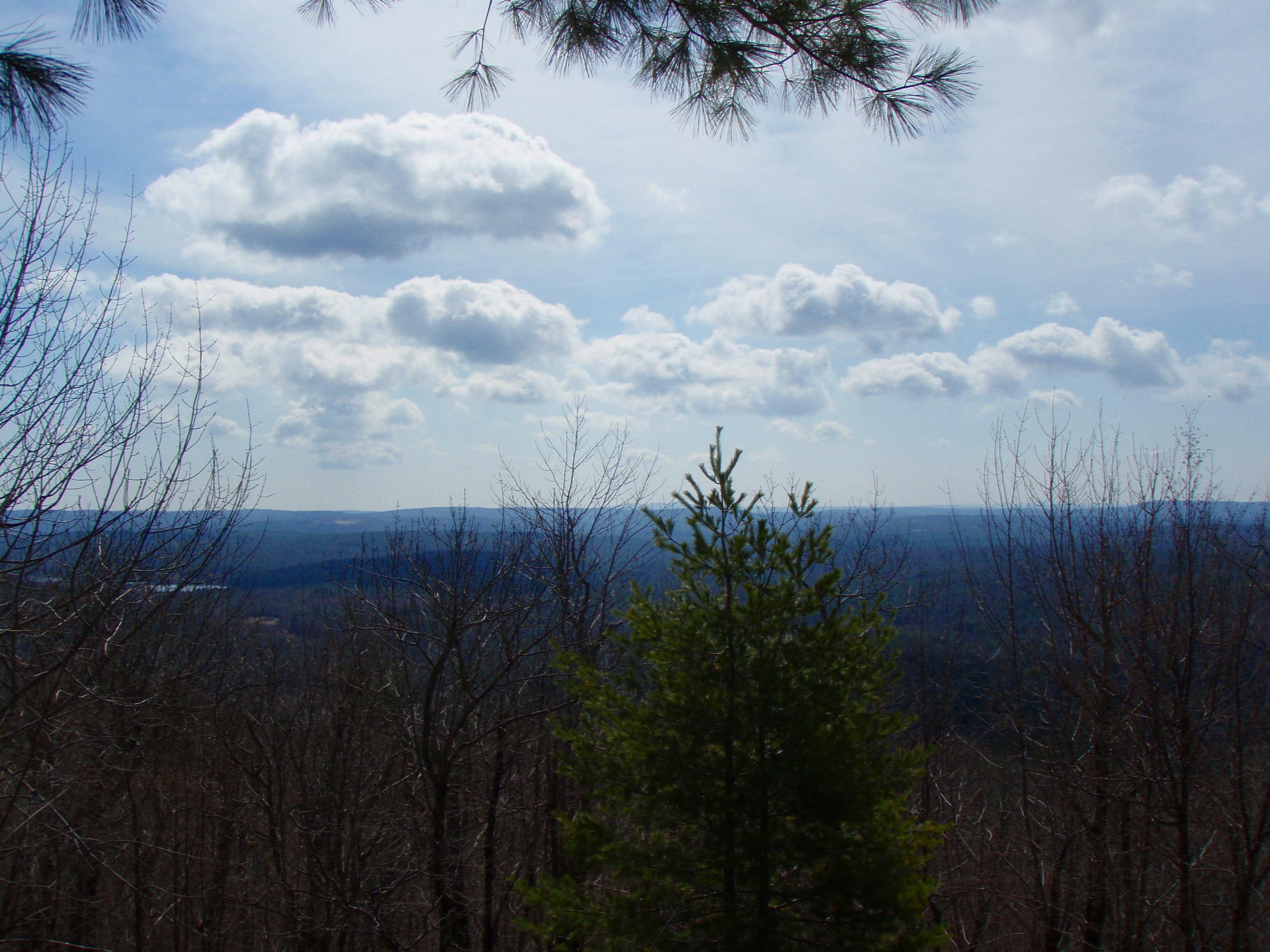
Cold Front HDR
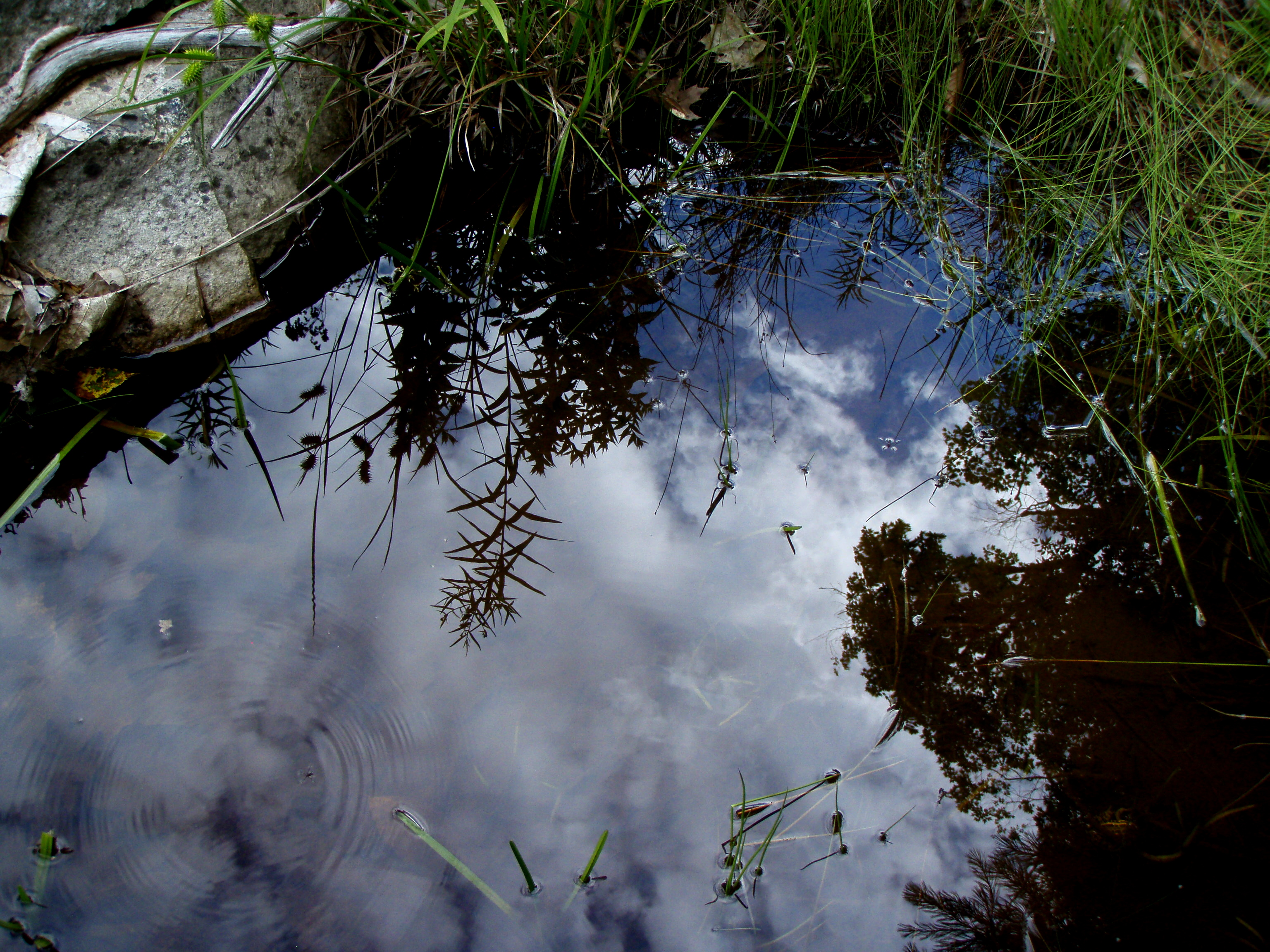
Reflection in a pool
Berry's River
An shiny Burrows Farm Trail

Burrows Brook
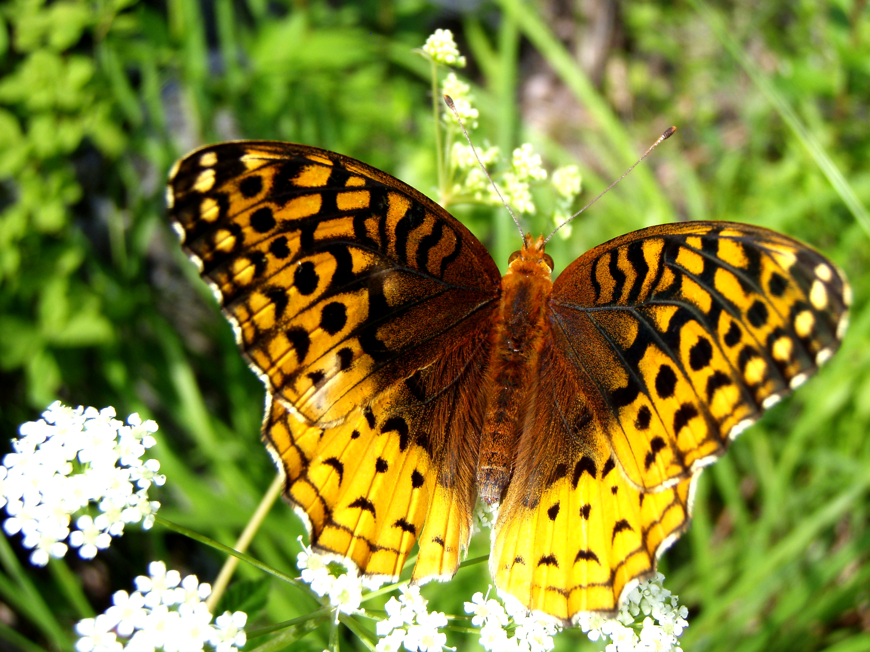
Aphrodite Fratillary
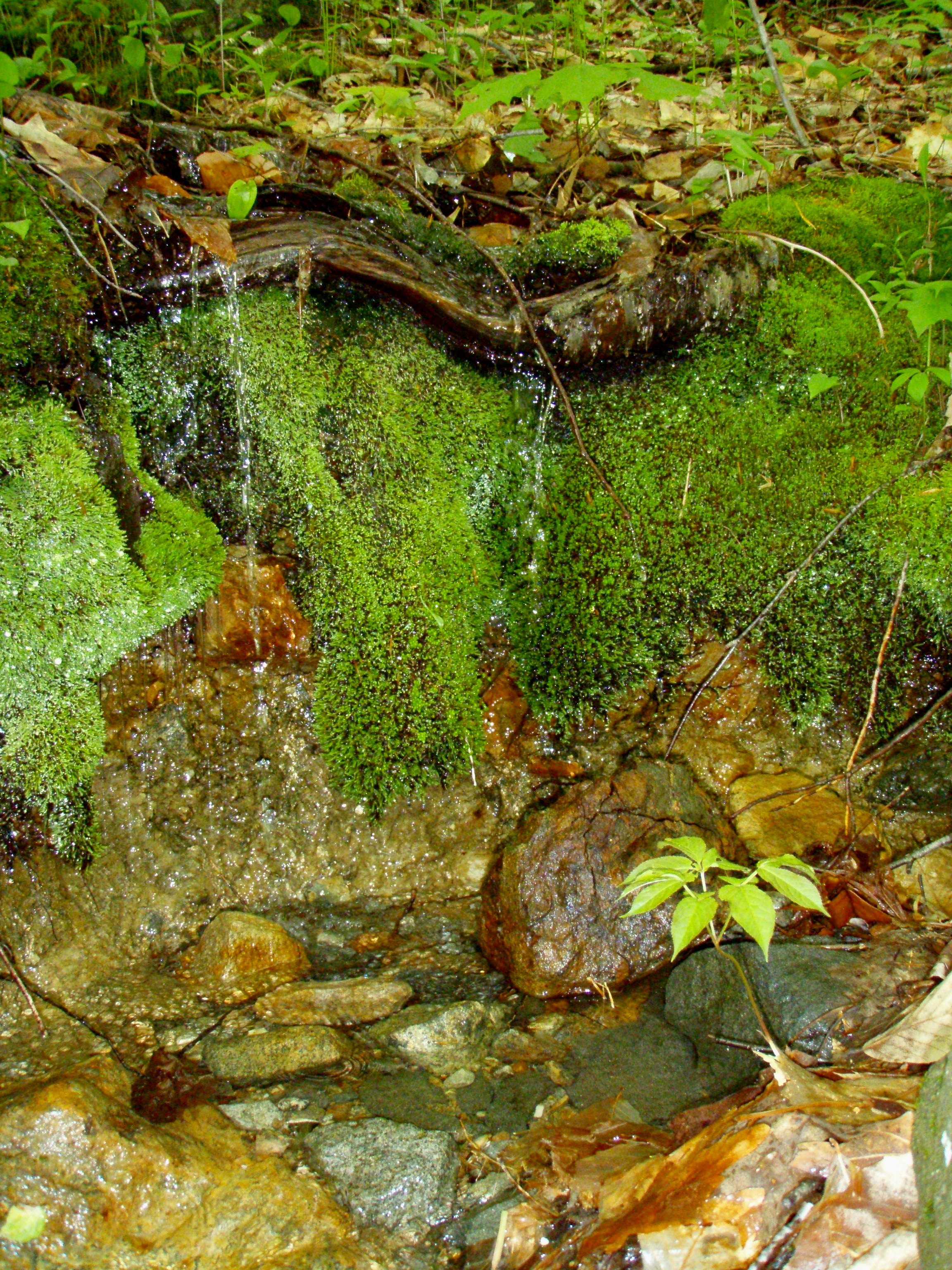
A Mossy Trickle

An Icy Burrows Brook
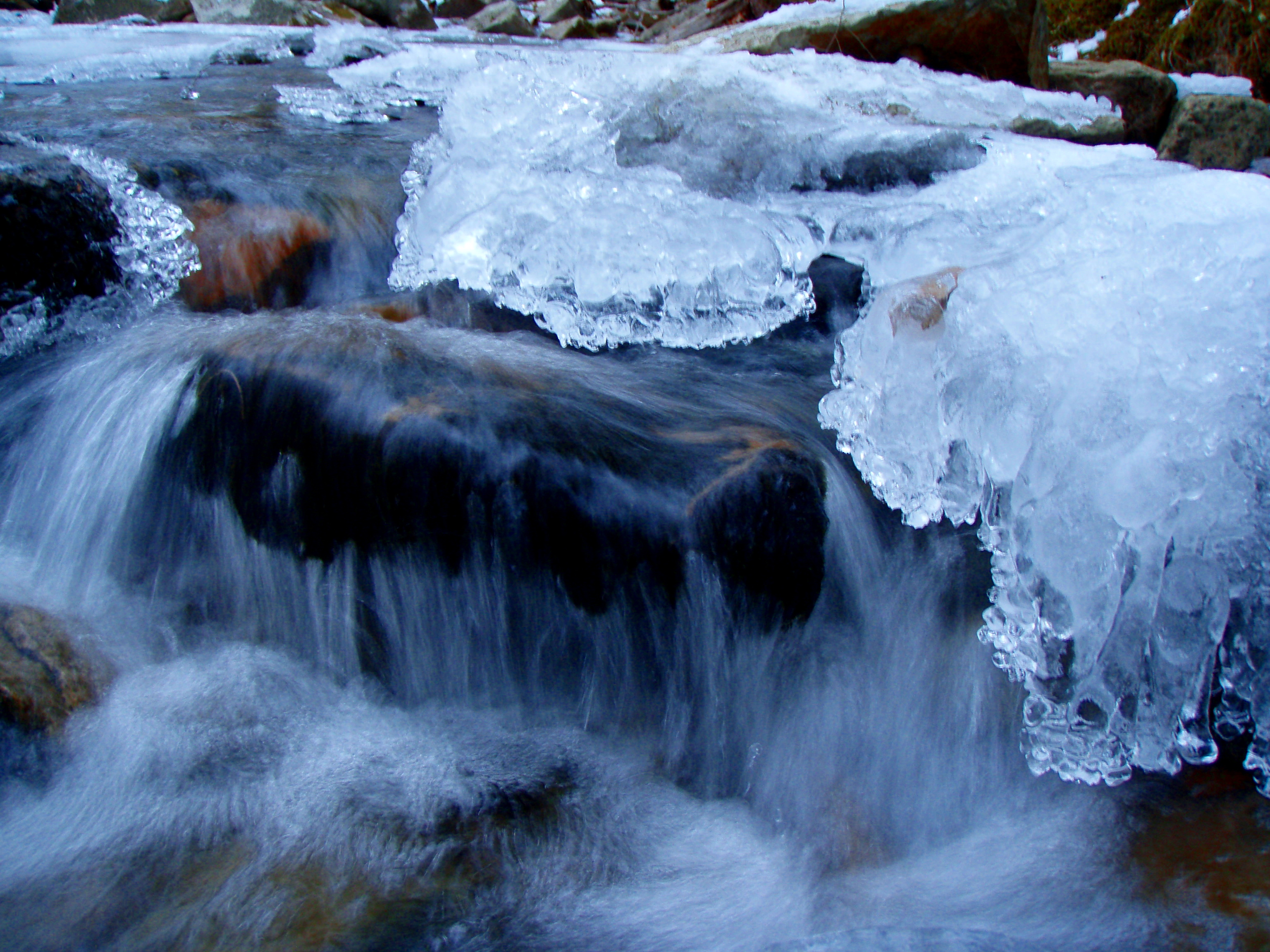
An Icy Burrows Brook
Beauty Knob
Foliage along Burrows Farm trail

New Hampshire - October 1975
Beauty Ledge Knob
MMR (pano)

Beauty Knob
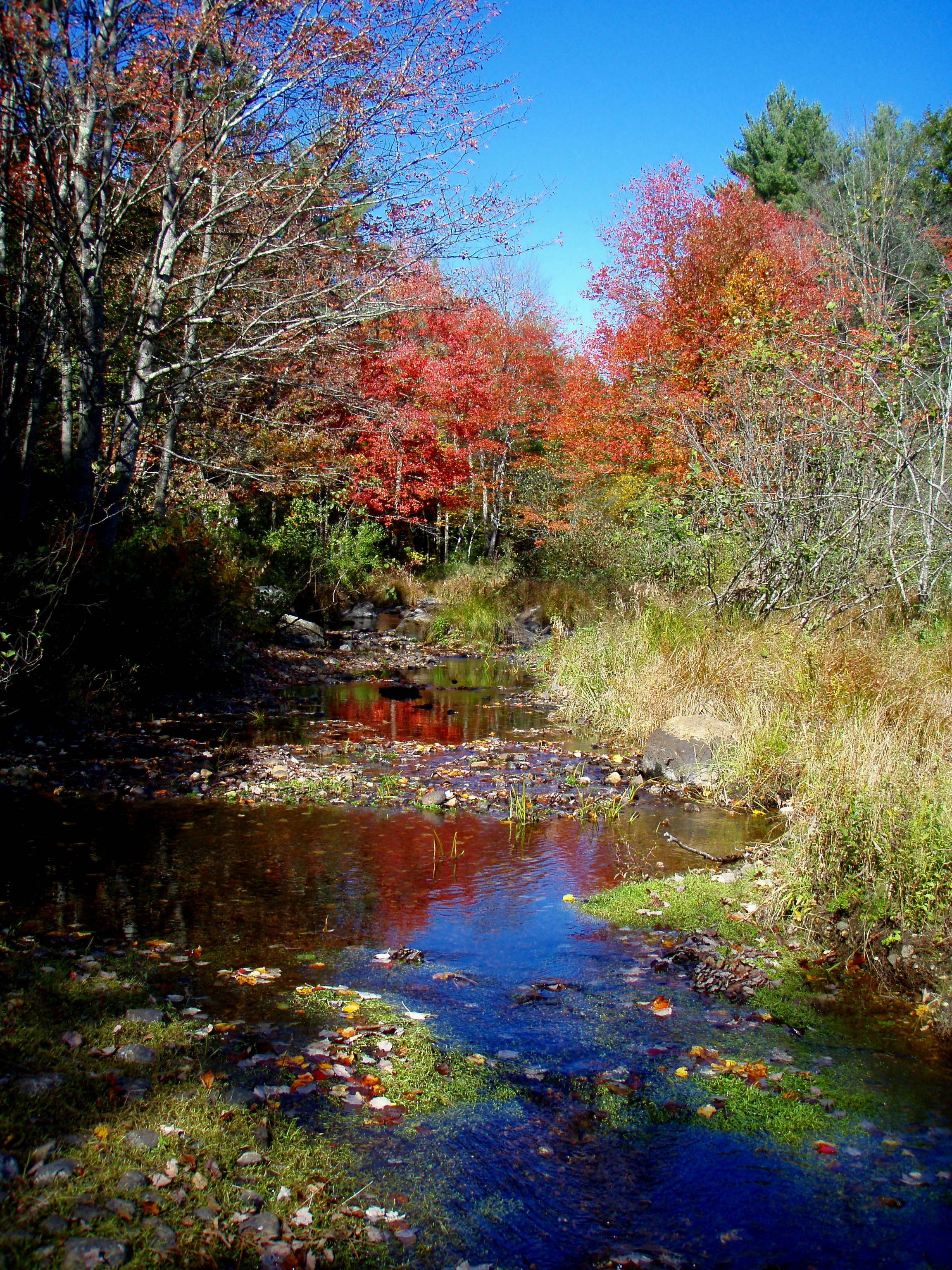
Reflective Foliage
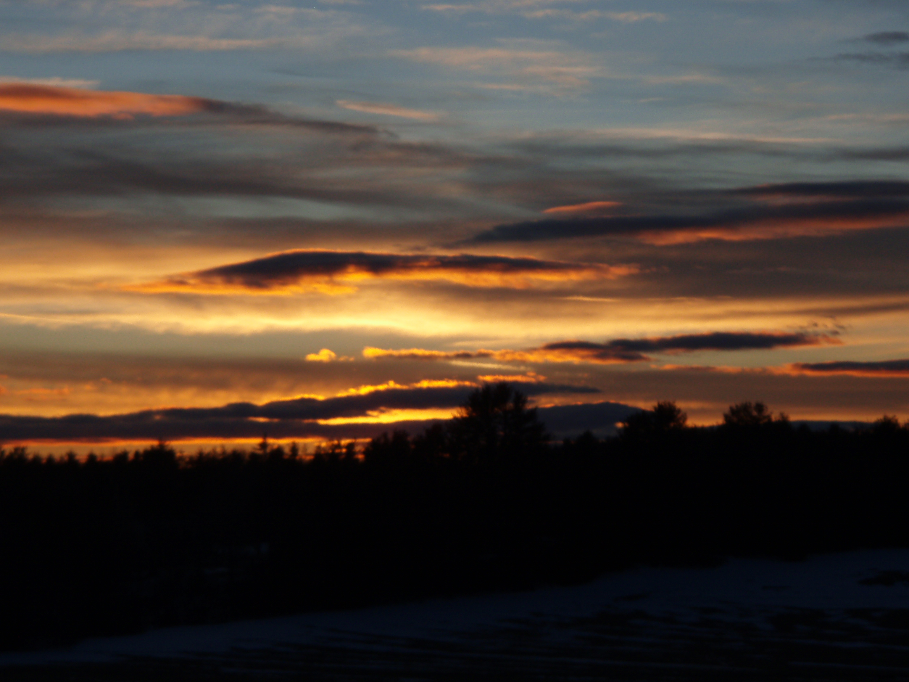
2/15/10 Sunset from Gonic, NH
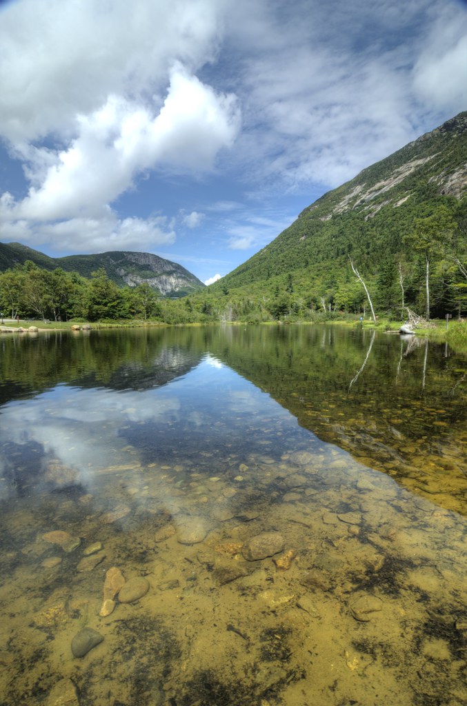
Willey Pond NH
Topographic Map of 51 Civic St, Farmington, NH, USA
Find elevation by address:

Places near 51 Civic St, Farmington, NH, USA:
17 Civic St
10 Mooney St
Farmington
Farmington
1 Charles St
New Hampshire 11
143 Main St
46 Campbell Dr
Farmington
23 Ten Rod Rd, Farmington, NH, USA
Ten Rod Farm
140 Ten Rod Rd
1162 Meaderboro Rd
57 Jenkins Rd
Blue Job Mountain
30 Meaderboro Rd
1194 First Crown Point Rd
237 Walnut St
237 Walnut St
250 Berry Rd
Recent Searches:
- Elevation of Gateway Blvd SE, Canton, OH, USA
- Elevation of East W.T. Harris Boulevard, E W.T. Harris Blvd, Charlotte, NC, USA
- Elevation of West Sugar Creek, Charlotte, NC, USA
- Elevation of Wayland, NY, USA
- Elevation of Steadfast Ct, Daphne, AL, USA
- Elevation of Lagasgasan, X+CQH, Tiaong, Quezon, Philippines
- Elevation of Rojo Ct, Atascadero, CA, USA
- Elevation of Flagstaff Drive, Flagstaff Dr, North Carolina, USA
- Elevation of Avery Ln, Lakeland, FL, USA
- Elevation of Woolwine, VA, USA