Elevation of Fallis-Gest Rd, Pleasureville, KY, USA
Location: United States > Kentucky > Shelby County > Pleasureville >
Longitude: -84.883156
Latitude: 38.417508
Elevation: 151m / 495feet
Barometric Pressure: 100KPa
Elevation Map:
Satellite Map:
Related Photos:
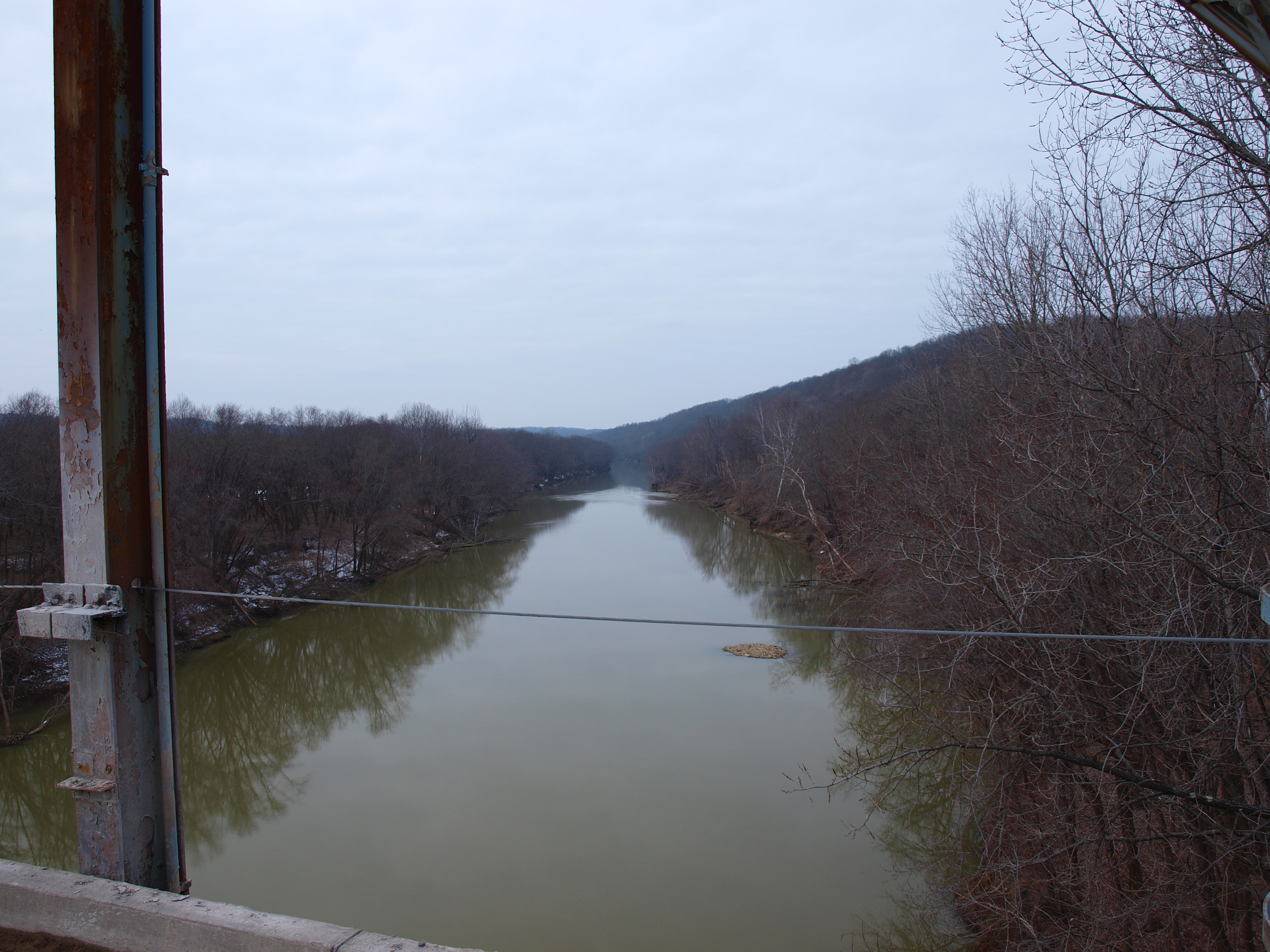
View to north? from Gratz Bridge, Gratz, KY
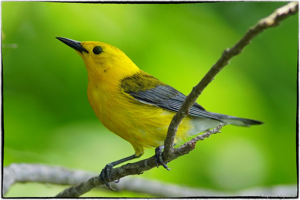
Prothonotary Warbler

2013 Project 365 - 253

Kentucky River in flood, covering lock and dam
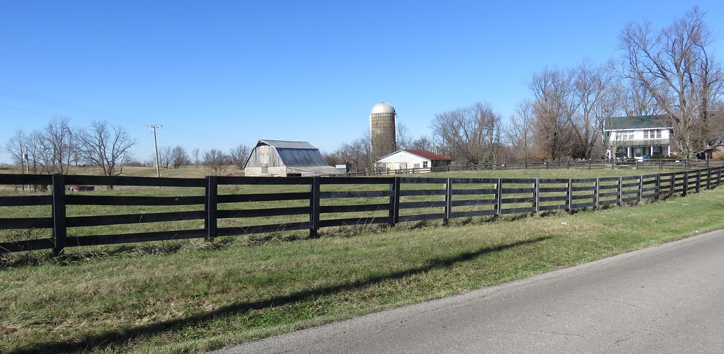
Northern Kentucky Farm (Owen County, Kentucky)

Three-Portal Barn with Quilt Square (Owen County, Kentucky)
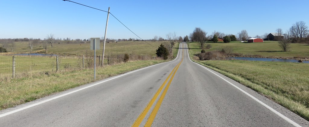
Northern Kentucky Landscape (Henry County, Kentucky)
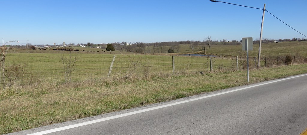
Northern Kentucky Landscape (Henry County, Kentucky)
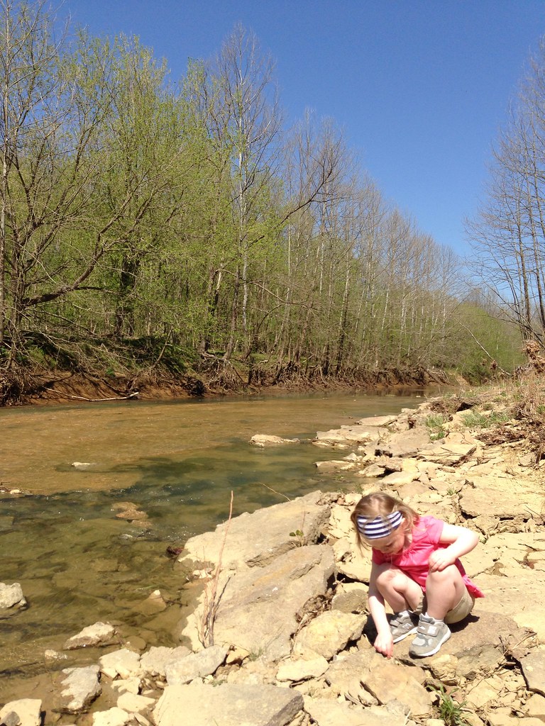
Hike with the kids
Hike with the kids
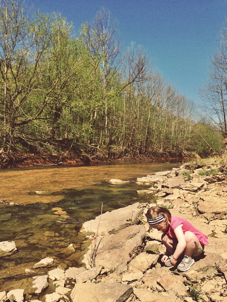
Hike with the kids

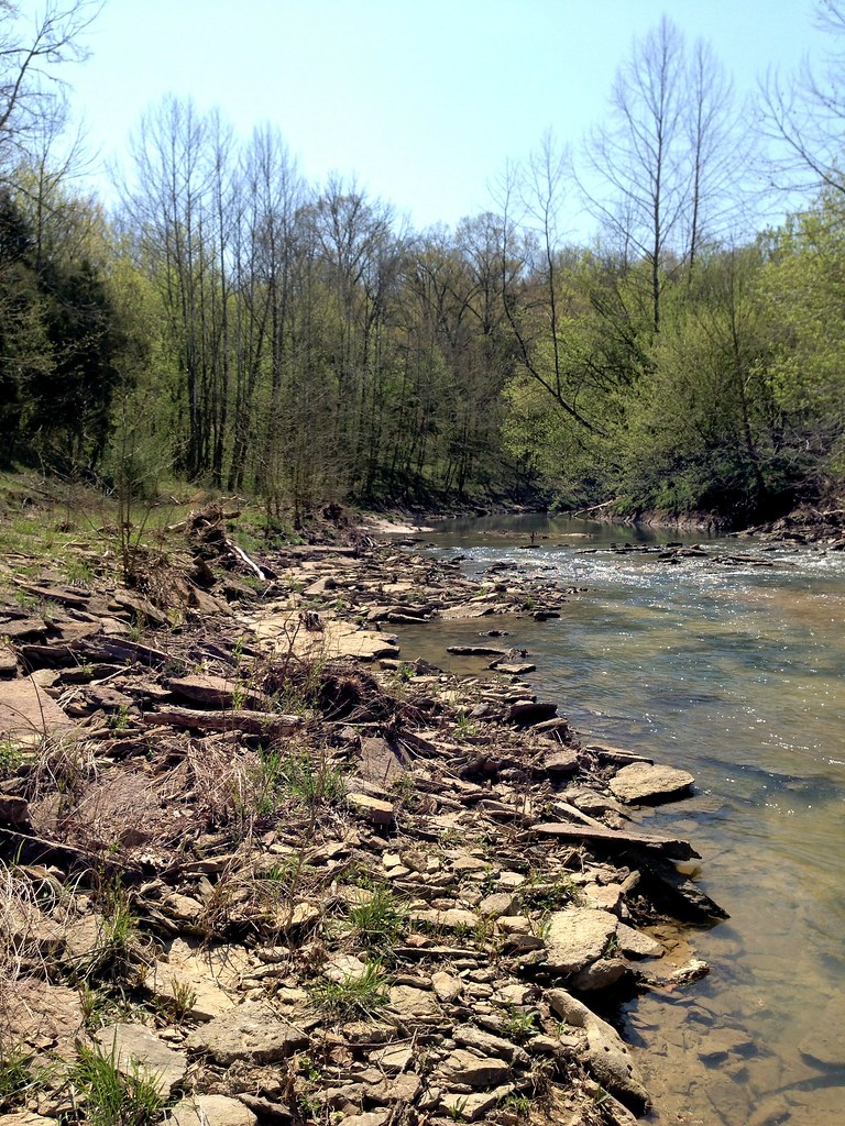
Elkhorn Creek
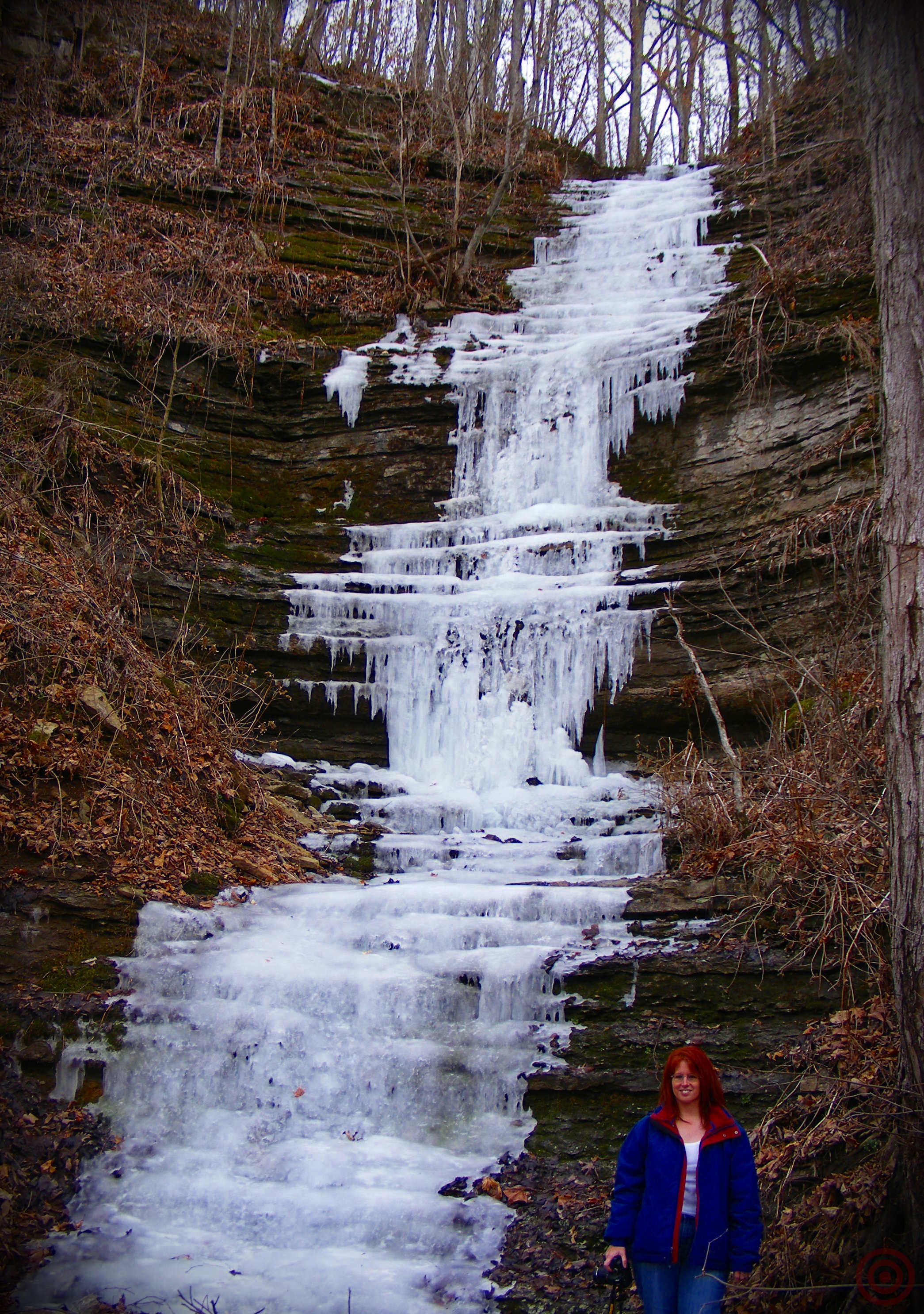
Nice Ice Baby
2009 Michael & Blair's Wedding 05

Kayaking on elkhorn creek 10
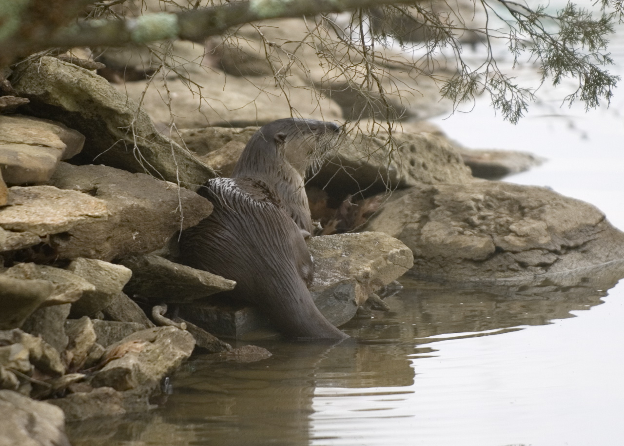
Otter on rocks

2013 Project 365 - 247

2013 Project 365 - 197
2009 Michael & Blair's Wedding 11
2009 Michael & Blair's Wedding 52

Tobacco Pickin 1

Elkhorn creek 4

Kayaking on elkhorn creek 11
Topographic Map of Fallis-Gest Rd, Pleasureville, KY, USA
Find elevation by address:

Places near Fallis-Gest Rd, Pleasureville, KY, USA:
High St, Owenton, KY, USA
Gest Rd, Pleasureville, KY, USA
385 Cedar Creek Rd
Lockport-Fallis Rd, Lockport, KY, USA
Lockport
Gratz
State Hwy 22, Owenton, KY, USA
Owen County
Georgetown Rd, Owenton, KY, USA
Cedar Creek Rd, Owenton, KY, USA
Owenton
Georgetown Rd, Owenton, KY, USA
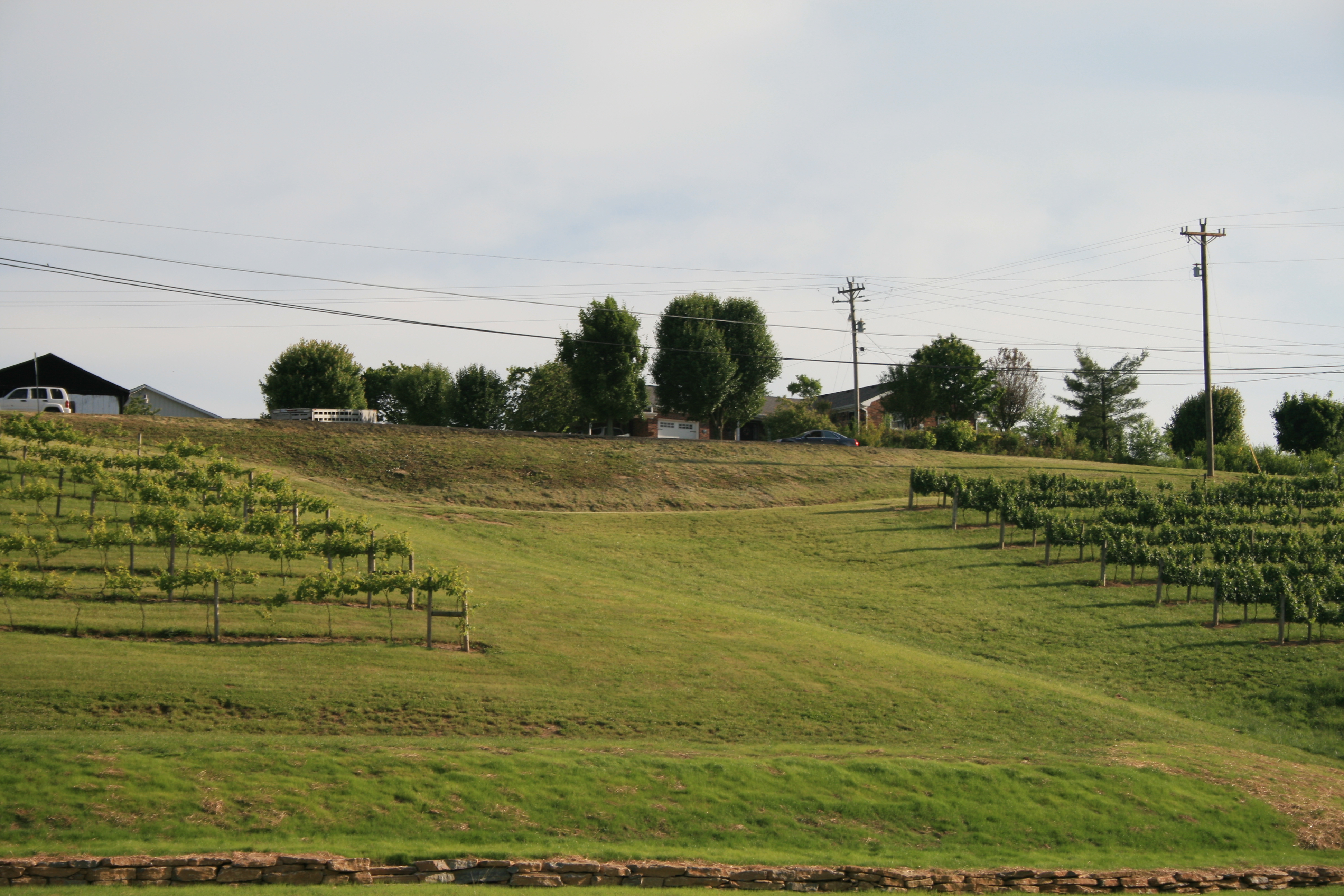
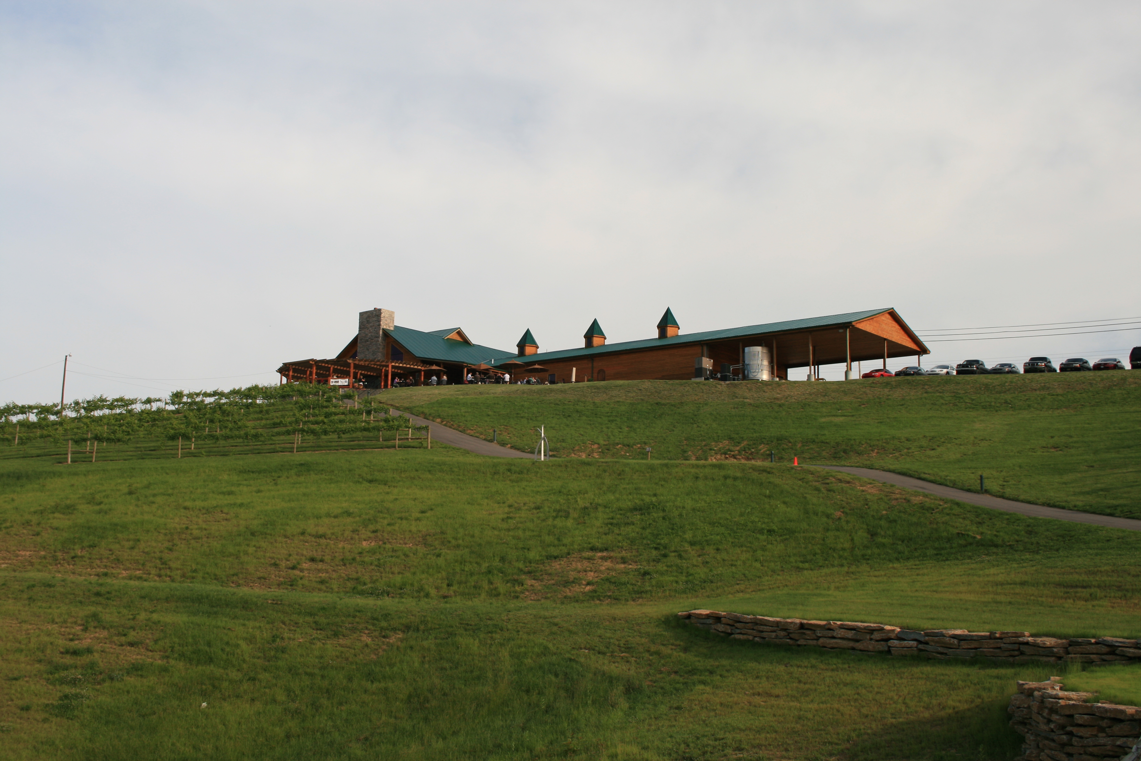
Elk Creek Vineyards
213 N Main
Squiresville Rd, Owenton, KY, USA
Onan Bend Road
Peaks Mill Rd, Frankfort, KY, USA
KY-, Frankfort, KY, USA
Green Meadows Drive
Franklin County
Recent Searches:
- Elevation of Elwyn Dr, Roanoke Rapids, NC, USA
- Elevation of Congressional Dr, Stevensville, MD, USA
- Elevation of Bellview Rd, McLean, VA, USA
- Elevation of Stage Island Rd, Chatham, MA, USA
- Elevation of Shibuya Scramble Crossing, 21 Udagawacho, Shibuya City, Tokyo -, Japan
- Elevation of Jadagoniai, Kaunas District Municipality, Lithuania
- Elevation of Pagonija rock, Kranto 7-oji g. 8"N, Kaunas, Lithuania
- Elevation of Co Rd 87, Jamestown, CO, USA
- Elevation of Tenjo, Cundinamarca, Colombia
- Elevation of Côte-des-Neiges, Montreal, QC H4A 3J6, Canada