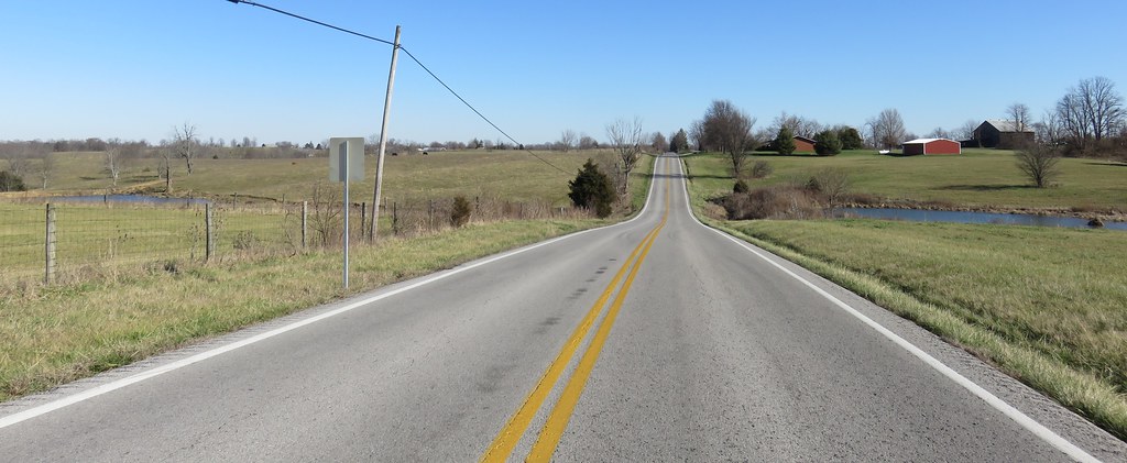
Elevation of State Hwy 22, Owenton, KY, USA
Location: United States > Kentucky > Owen County > Owenton >
Longitude: -84.913040
Latitude: 38.5020508
Elevation: 270m / 886feet
Barometric Pressure: 98KPa
Elevation Map:
Satellite Map:
Related Photos:

Prothonotary Warbler
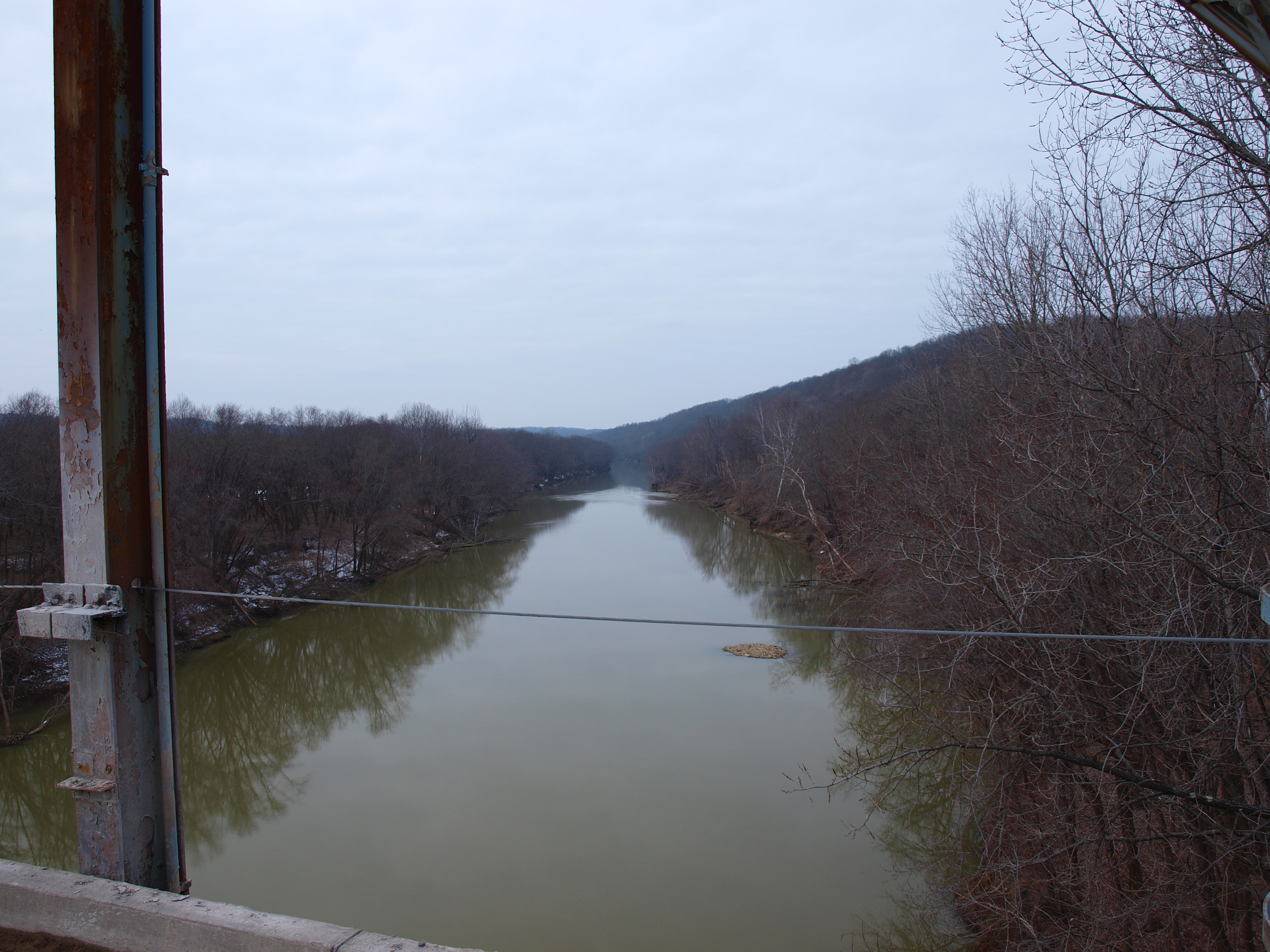
View to north? from Gratz Bridge, Gratz, KY

Kentucky River in flood, covering lock and dam

Three-Portal Barn with Quilt Square (Owen County, Kentucky)
2009 Michael & Blair's Wedding 05
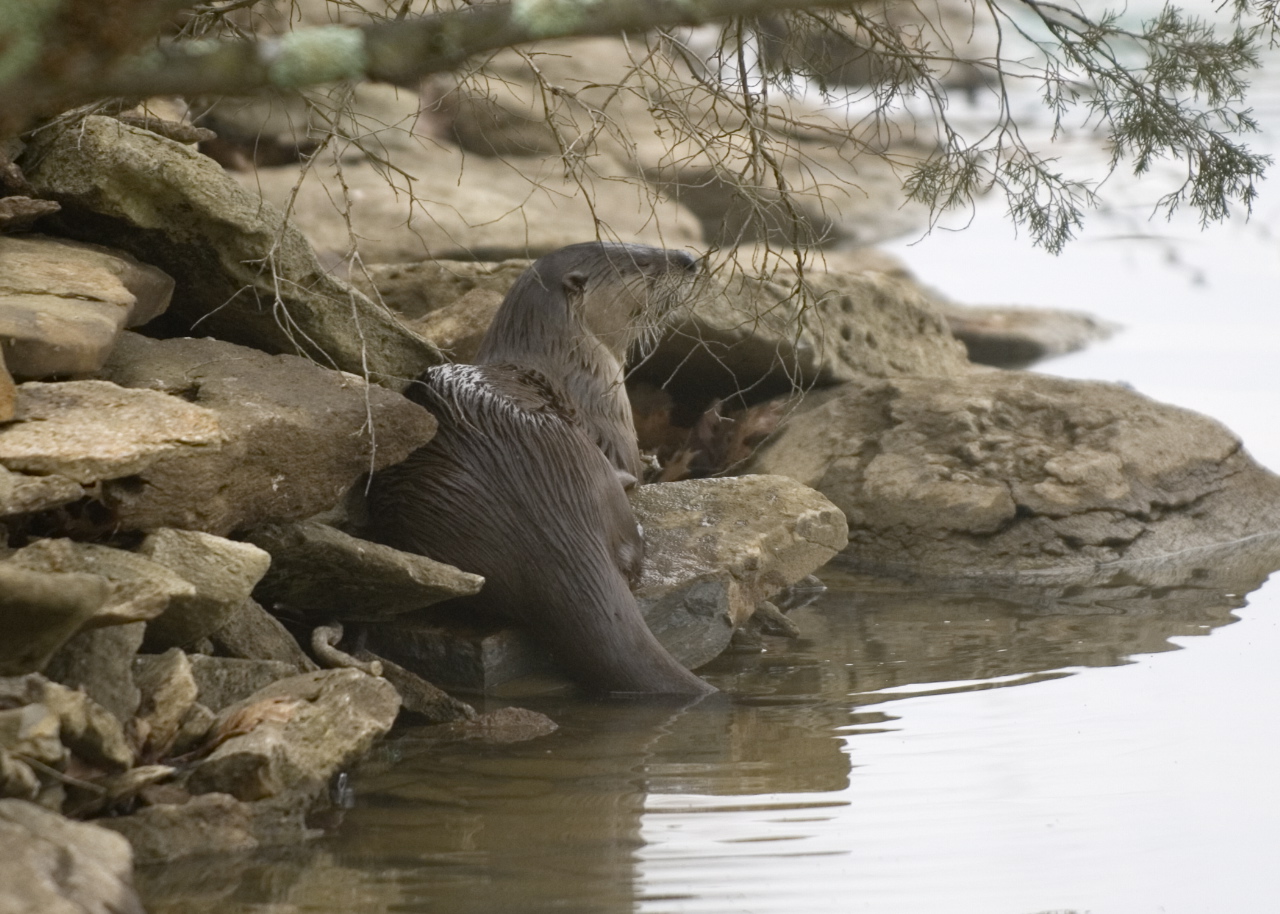
Otter on rocks
2009 Michael & Blair's Wedding 11
2009 Michael & Blair's Wedding 52
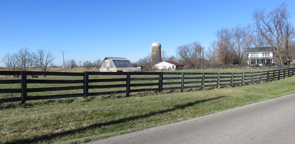
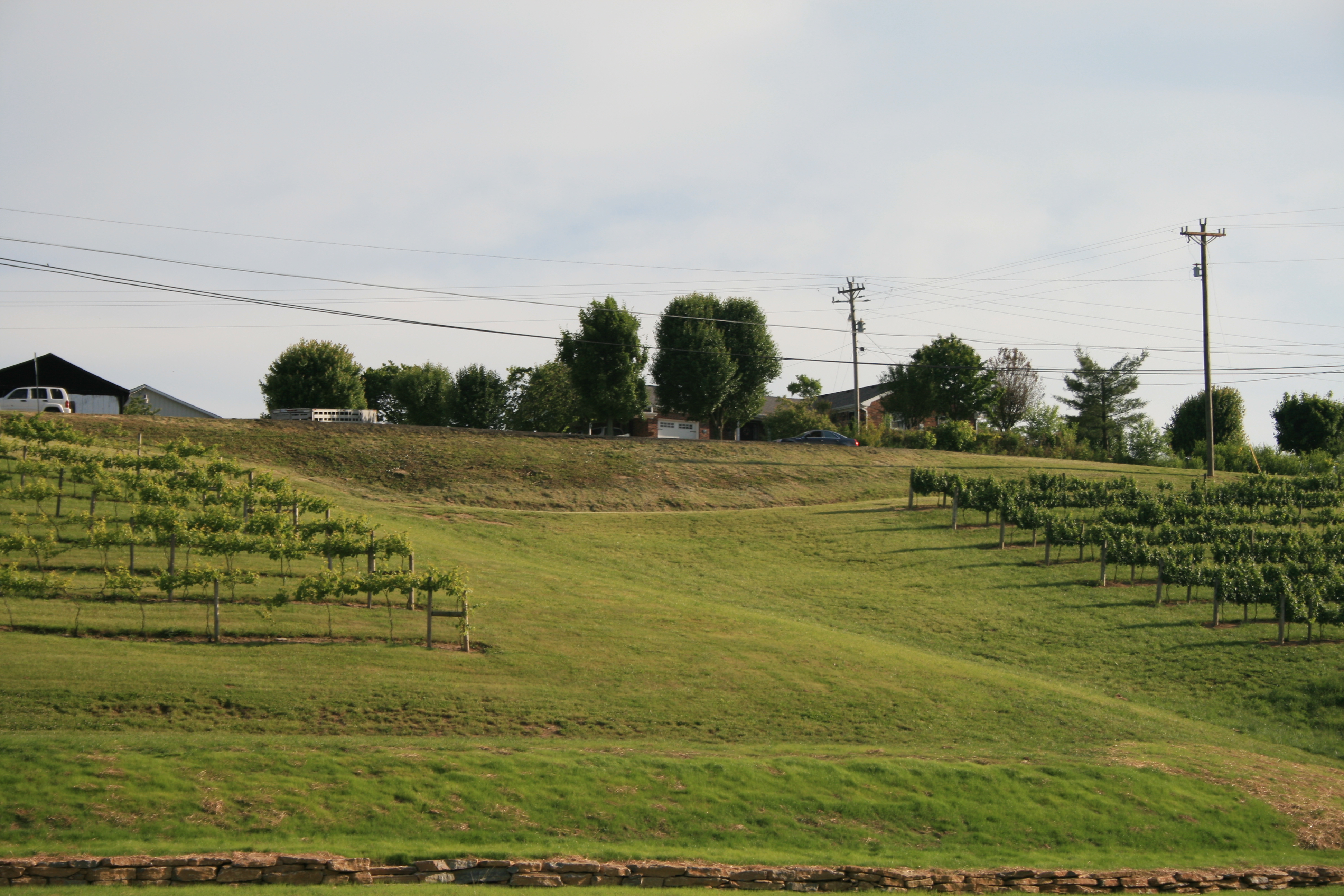
Northern Kentucky Farm (Owen County, Kentucky)
Northern Kentucky Landscape (Henry County, Kentucky)
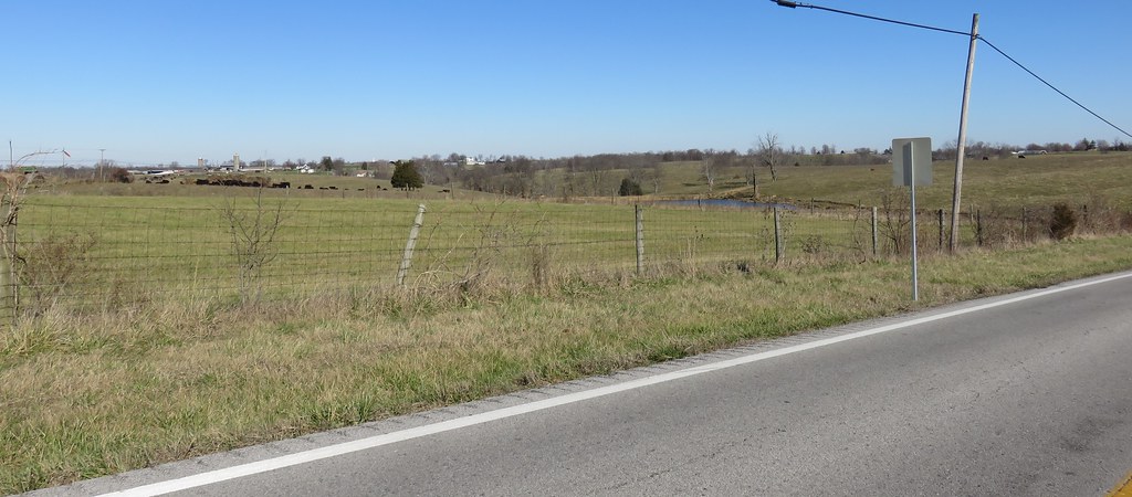
Northern Kentucky Landscape (Henry County, Kentucky)
Topographic Map of State Hwy 22, Owenton, KY, USA
Find elevation by address:

Places near State Hwy 22, Owenton, KY, USA:
Gratz
Squiresville Rd, Owenton, KY, USA
Owenton
Lockport-Fallis Rd, Lockport, KY, USA
213 N Main
Lockport
Fallis-Gest Rd, Pleasureville, KY, USA
High St, Owenton, KY, USA
Gest Rd, Pleasureville, KY, USA
Green Meadows Drive
Owen County
165 Todd Ln
US-, Owenton, KY, USA
Georgetown Rd, Owenton, KY, USA
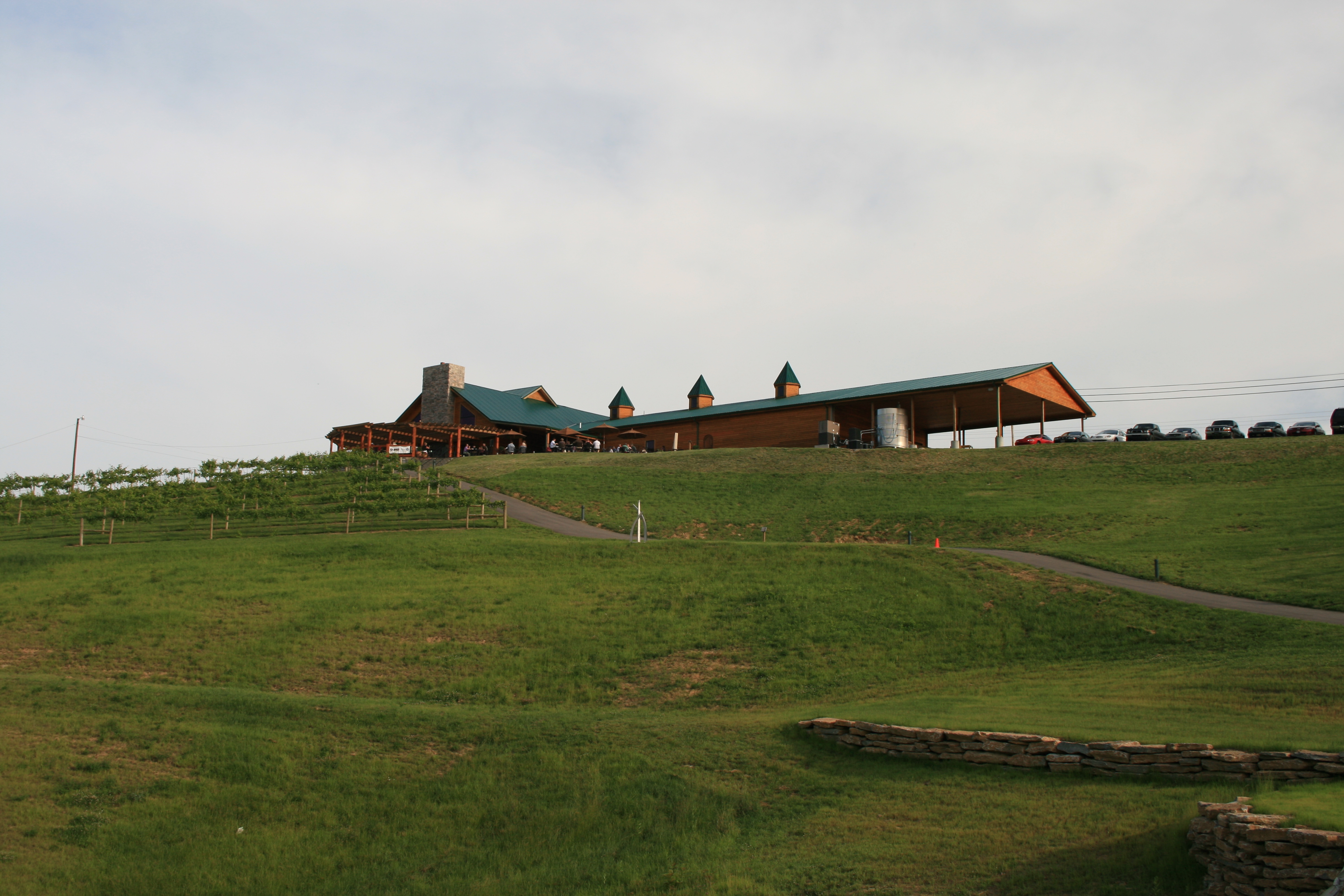
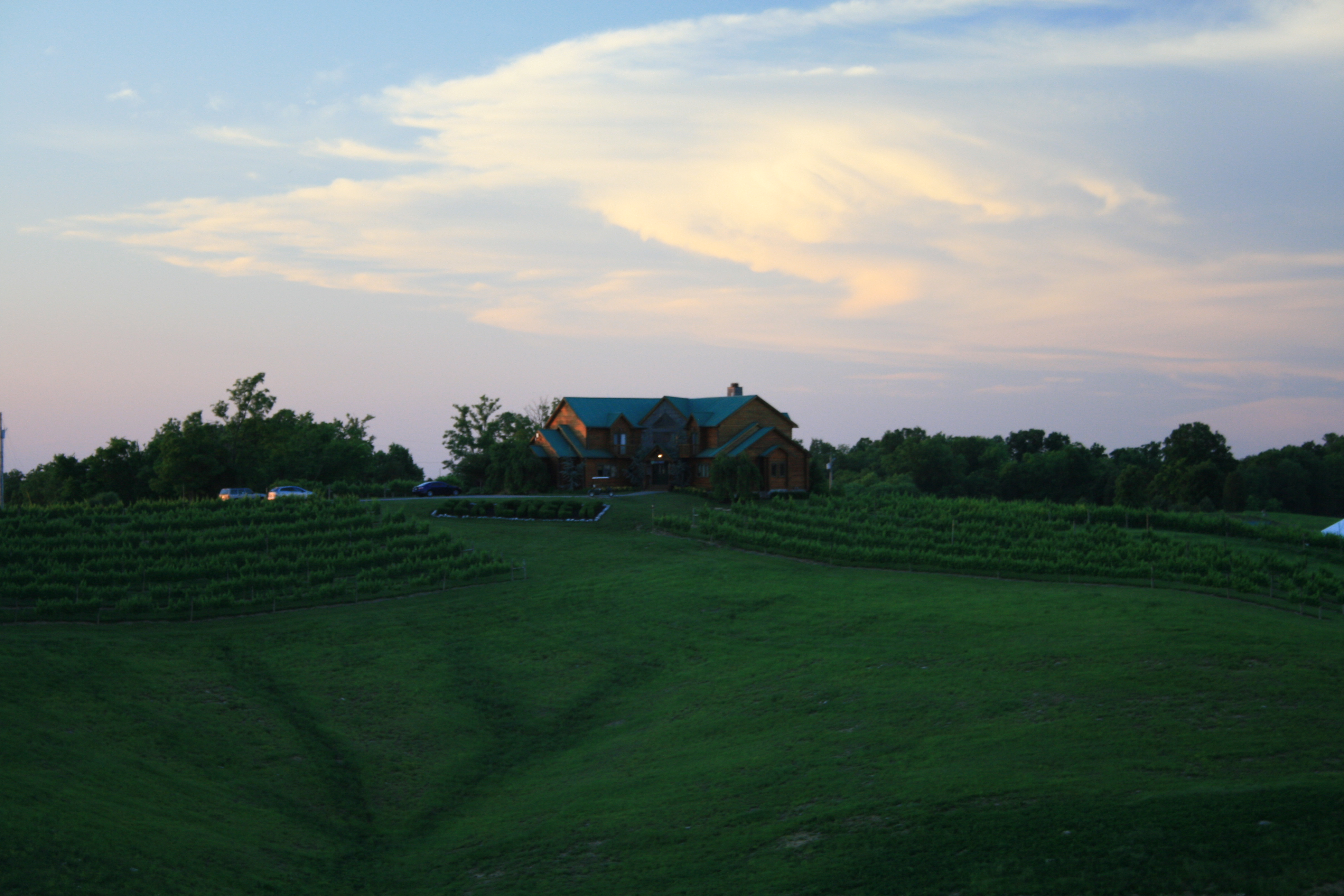
Elk Creek Vineyards
385 Cedar Creek Rd
Troutman Hill Rd, Campbellsburg, KY, USA
Georgetown Rd, Owenton, KY, USA
US-, Sparta, KY, USA
Sparta
Recent Searches:
- Elevation of Unnamed Road, Respublika Severnaya Osetiya — Alaniya, Russia
- Elevation of Verkhny Fiagdon, North Ossetia–Alania Republic, Russia
- Elevation of F. Viola Hiway, San Rafael, Bulacan, Philippines
- Elevation of Herbage Dr, Gulfport, MS, USA
- Elevation of Lilac Cir, Haldimand, ON N3W 2G9, Canada
- Elevation of Harrod Branch Road, Harrod Branch Rd, Kentucky, USA
- Elevation of Wyndham Grand Barbados Sam Lords Castle All Inclusive Resort, End of Belair Road, Long Bay, Bridgetown Barbados
- Elevation of Iga Trl, Maggie Valley, NC, USA
- Elevation of N Co Rd 31D, Loveland, CO, USA
- Elevation of Lindever Ln, Palmetto, FL, USA