Elevation of Fairystone Park Hwy, Bassett, VA, USA
Location: United States > Virginia > Henry County > Blackberry > Bassett >
Longitude: -80.043864
Latitude: 36.7612565
Elevation: 360m / 1181feet
Barometric Pressure: 97KPa
Elevation Map:
Satellite Map:
Related Photos:
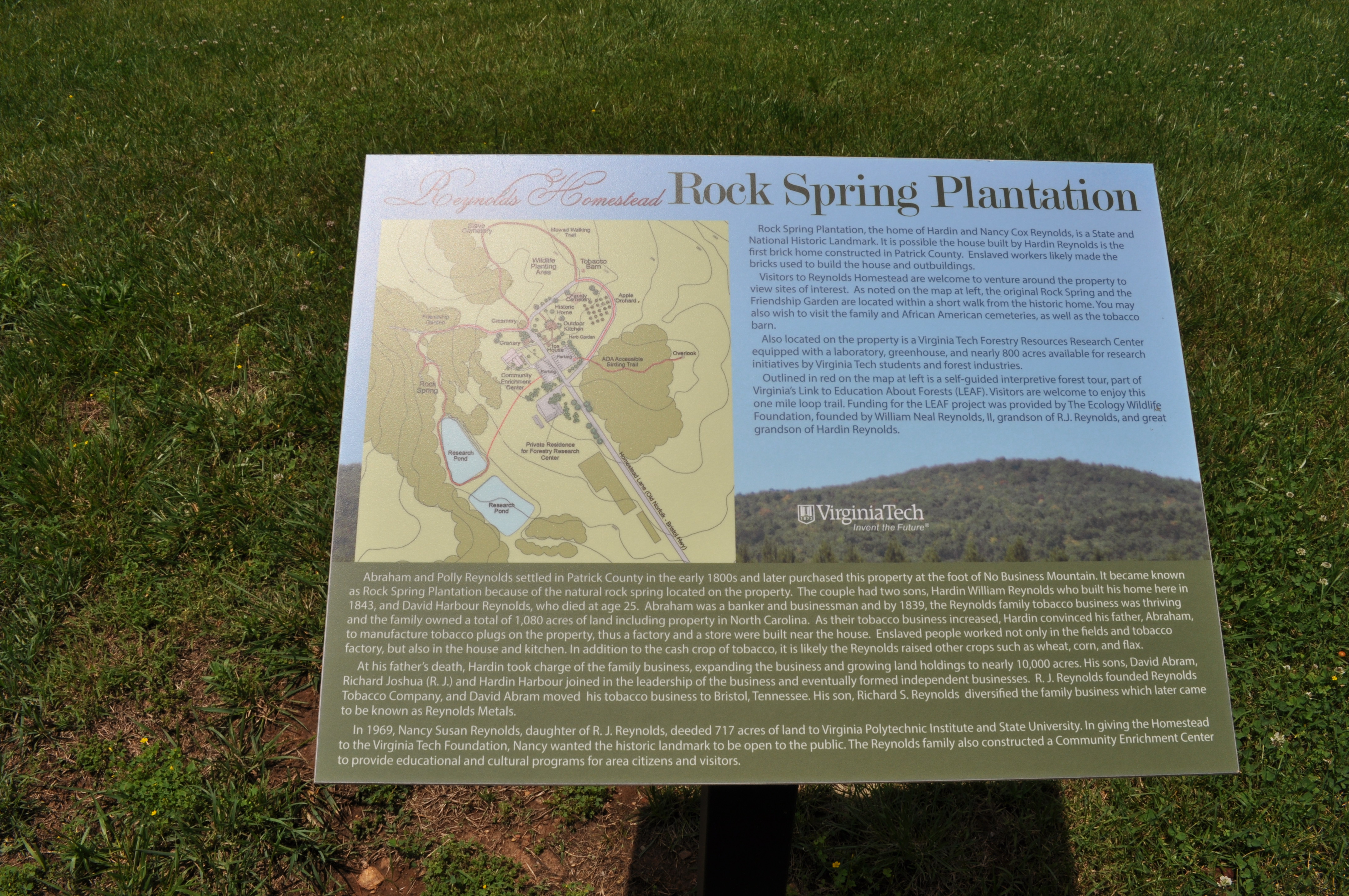
2879 Rock Spring Plantation Img_21036
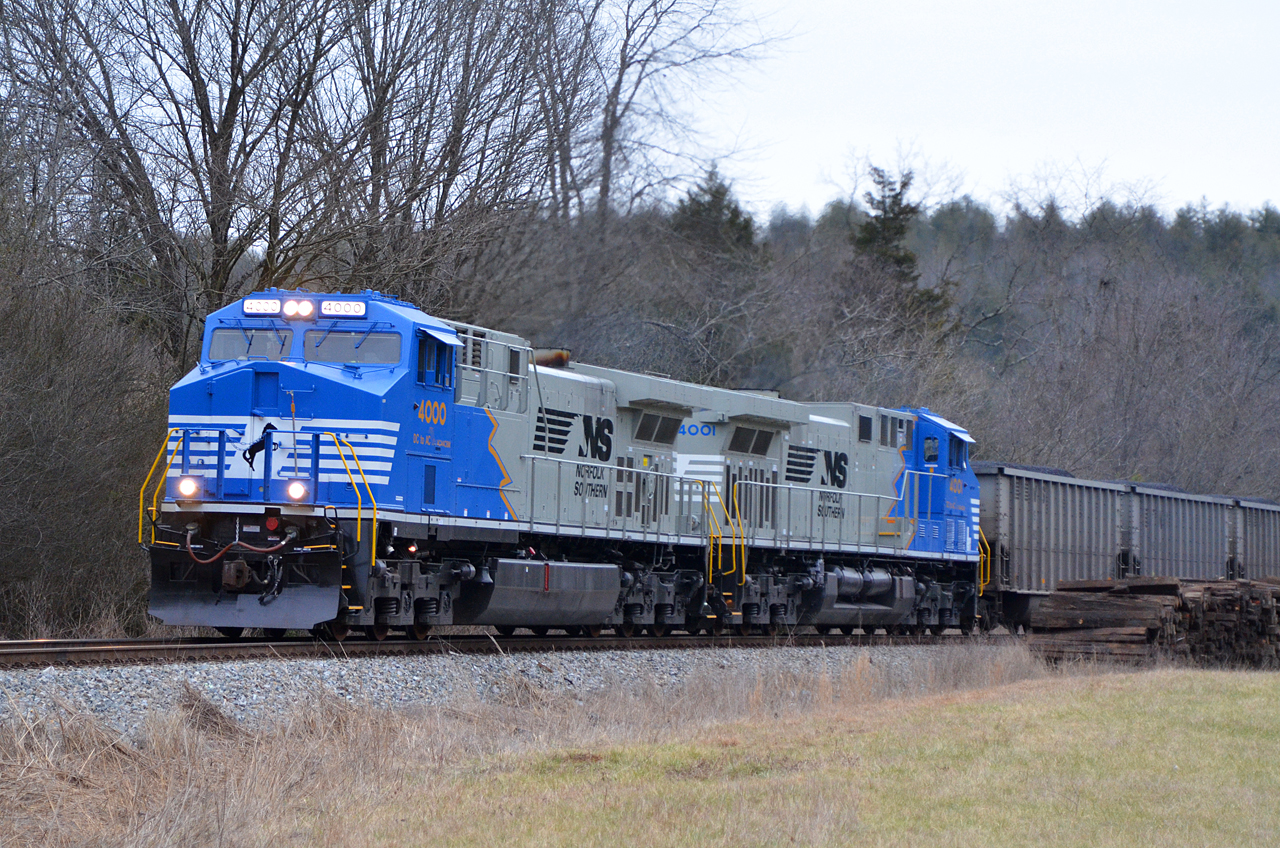
2016 02-12 1658 NS AC44C6M-4000, 4001 S/B 746 at Henry, VA
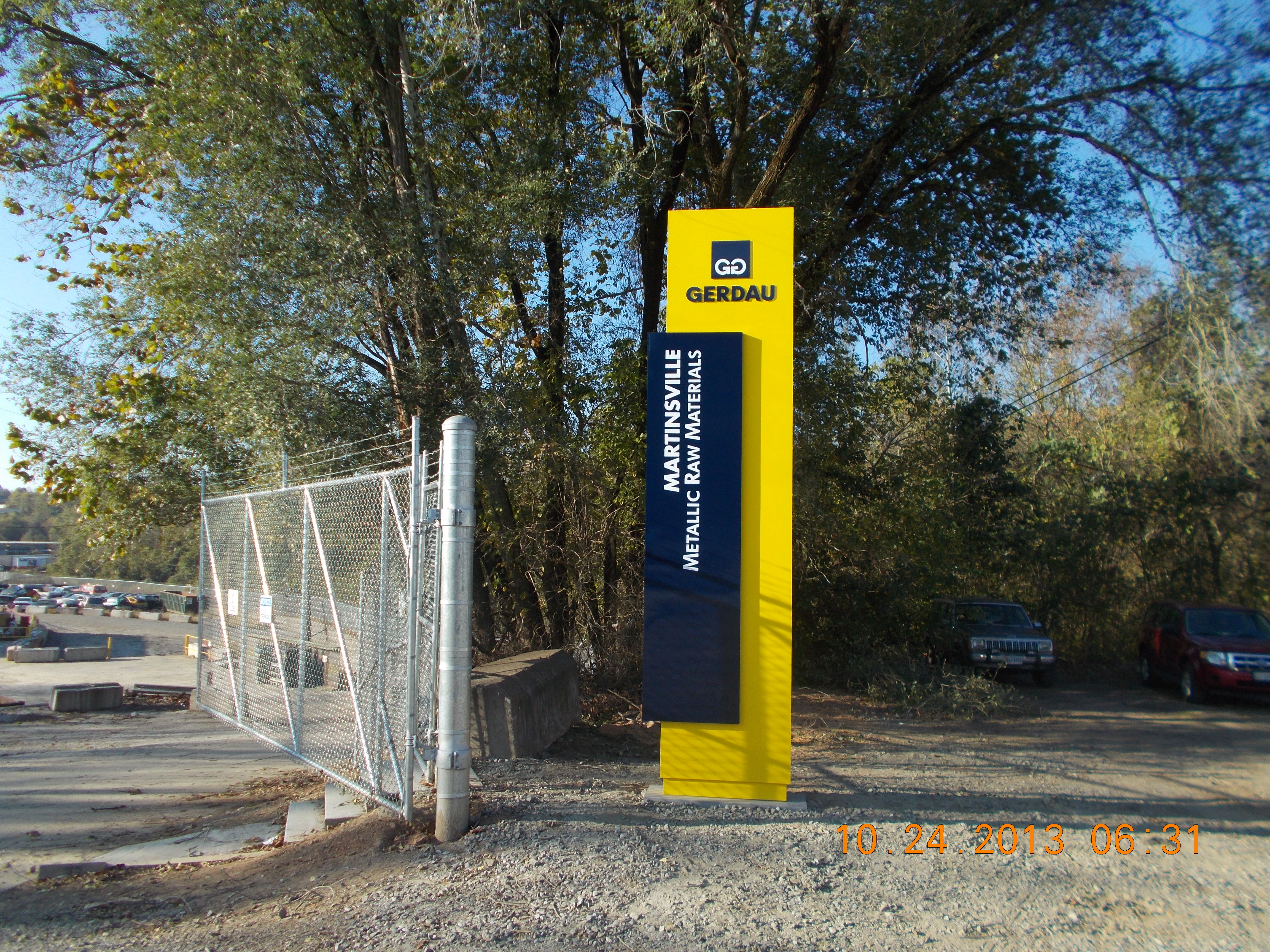
15' Totem Style Sign
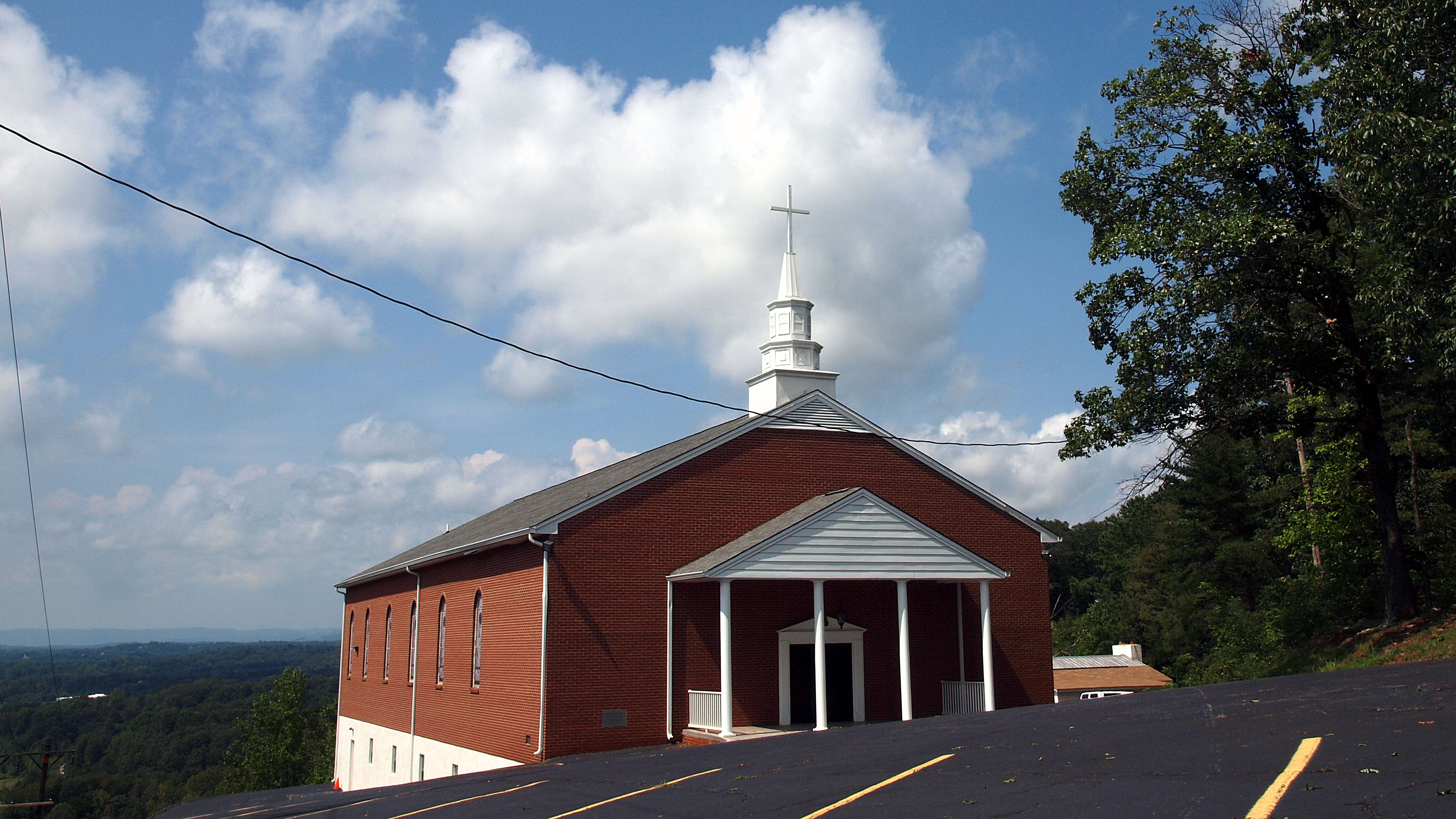
Mountain View Baptist

Mountain View Baptist
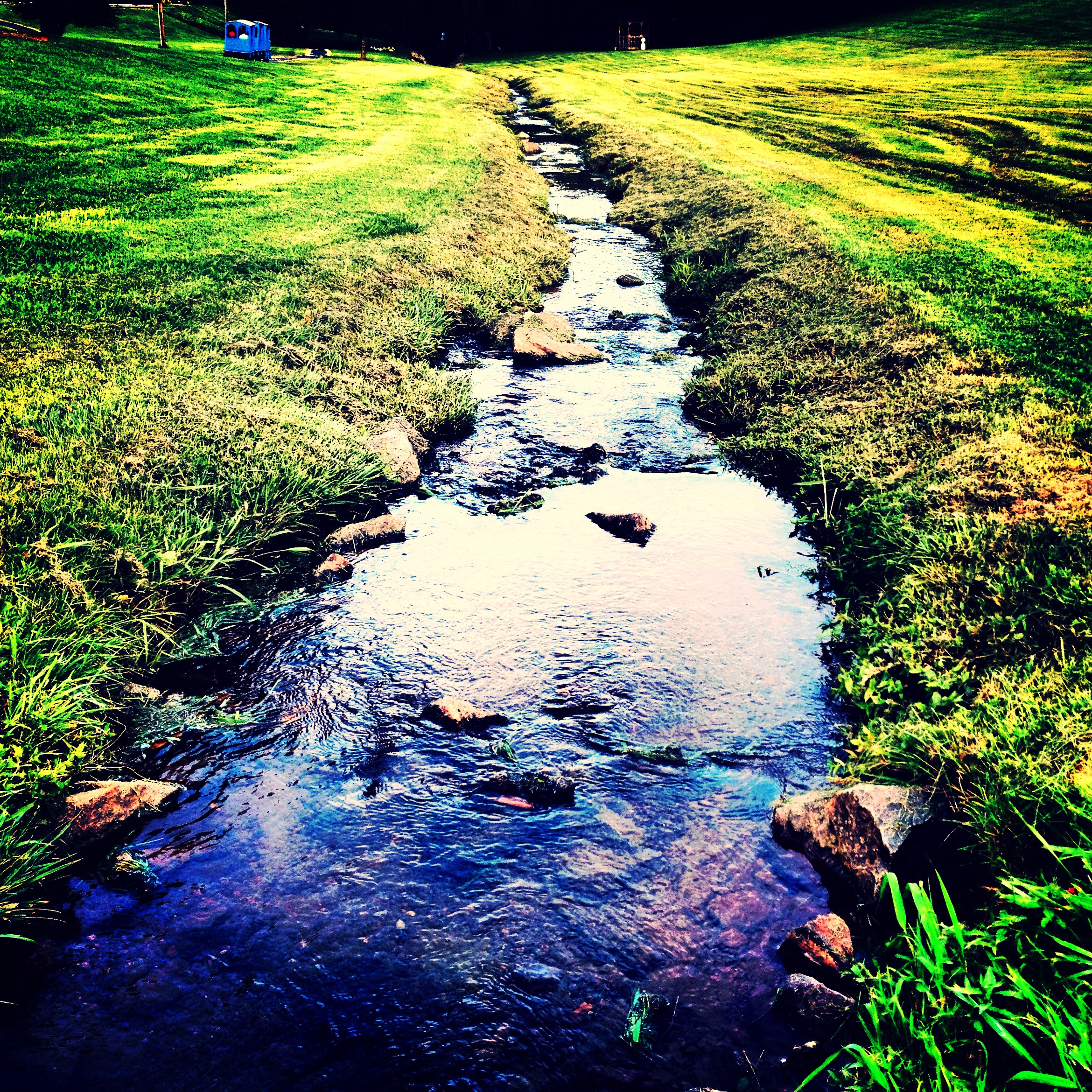
Let life flow
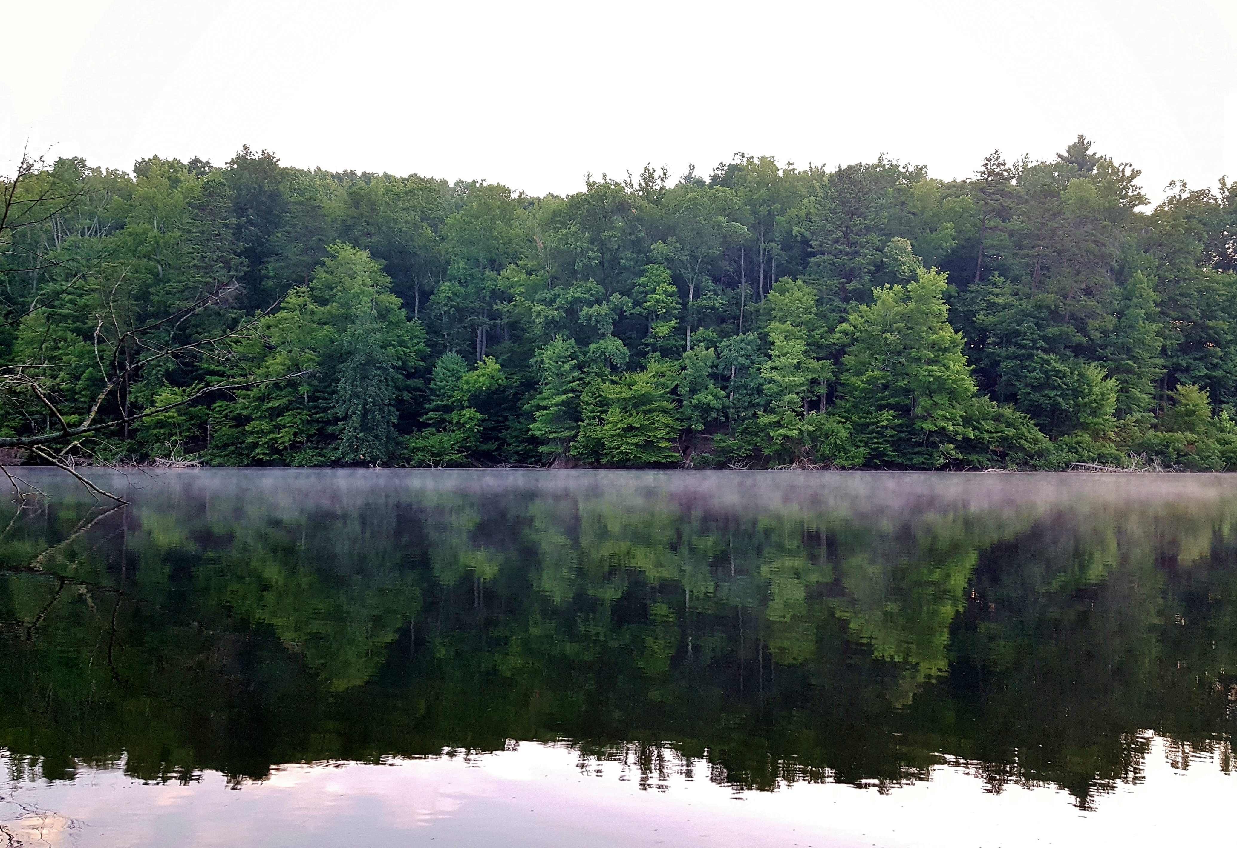
Philpott Lake December 31

on our morning stroll by the lake
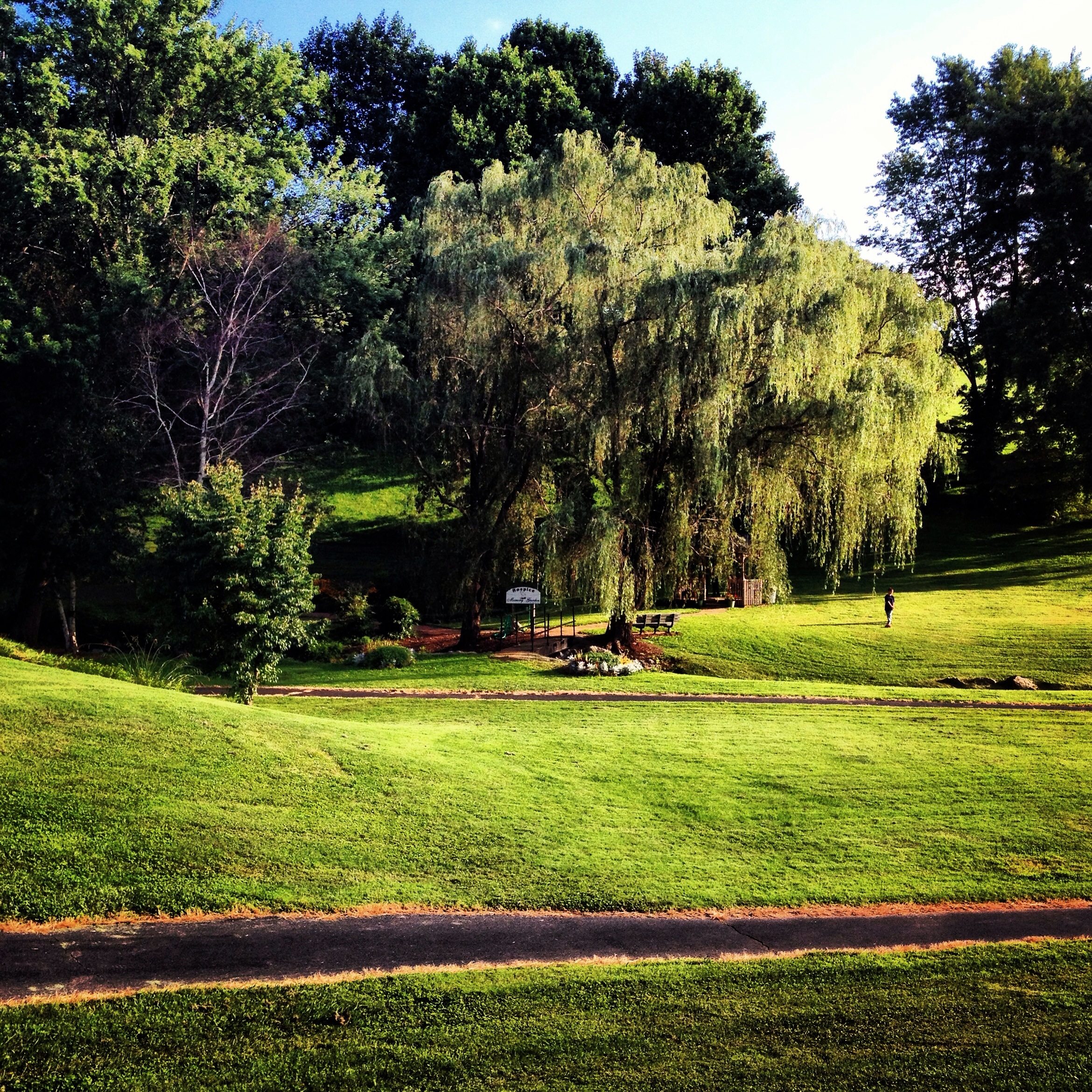
Weeping Willow is the name
Beautiful day on the lake

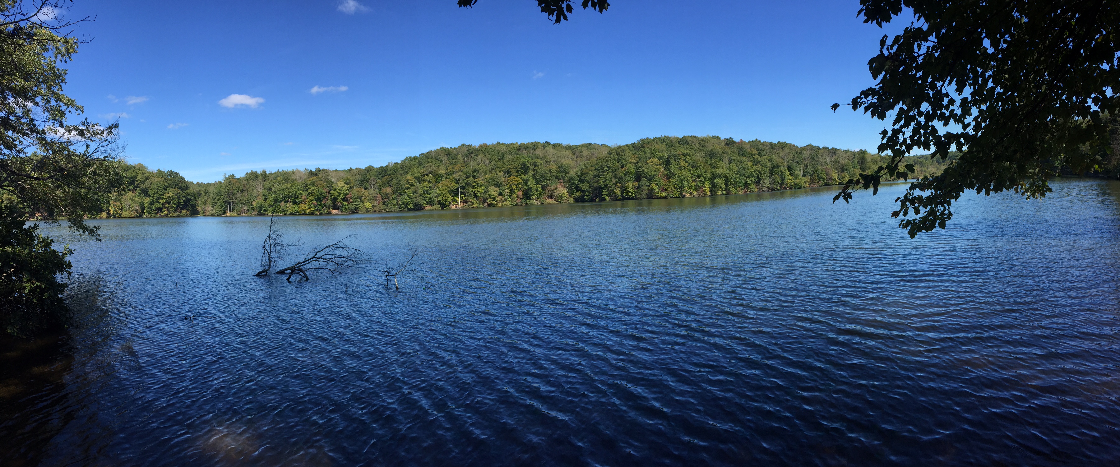
Beaver Creek Reservoir 4
A lonely bench - A sad bench
2012-11-11 11.32.50.jpg
Landscape Panorama
Think Outside Photo Contest Fairy Stone State Park
Fall Color 8 Pano - just getting started

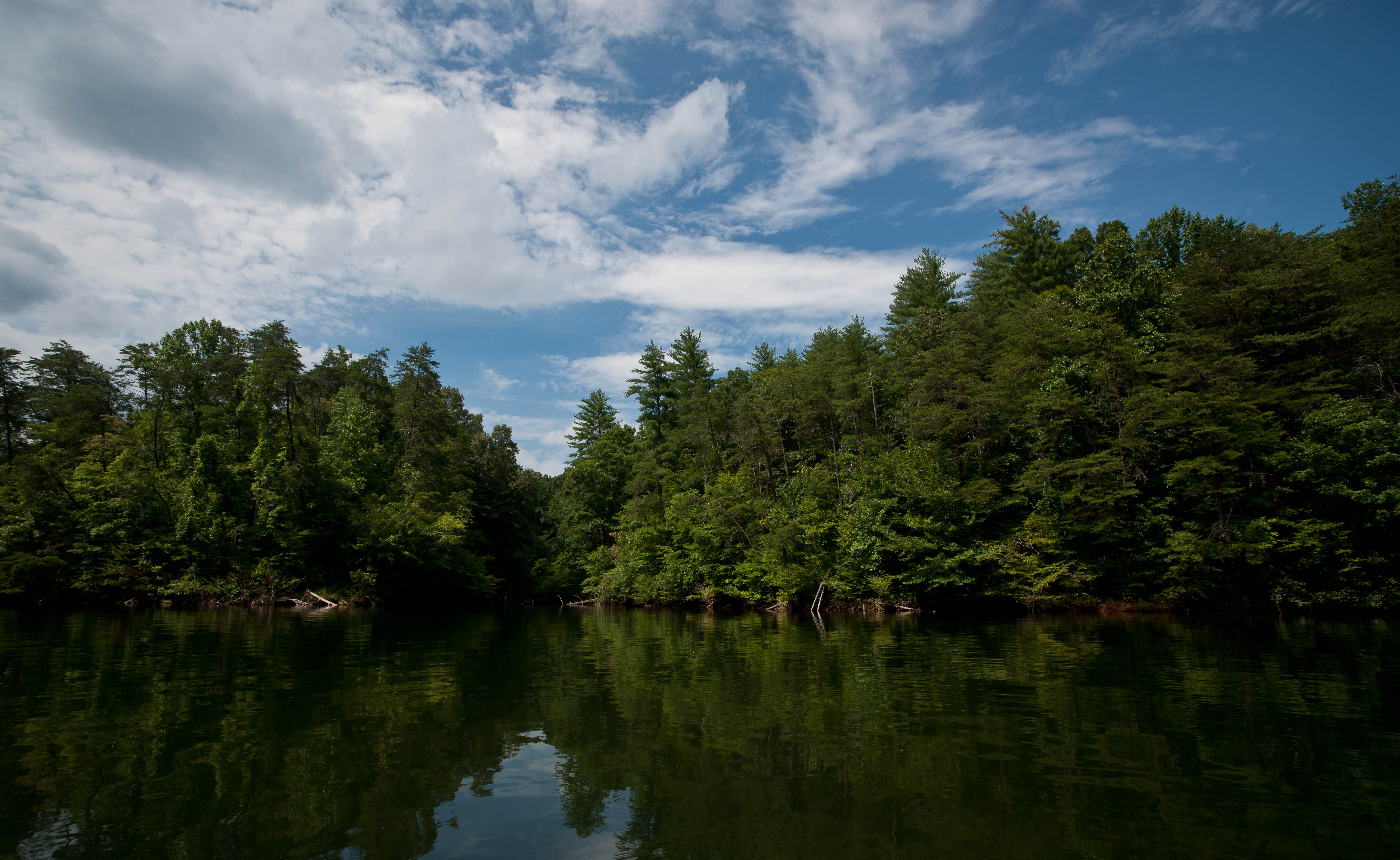
Beaver Creek Reservoir 1

Smith River

Legs Up!
FS first day hikes
Fall foliage report from Fairy Stone State Park

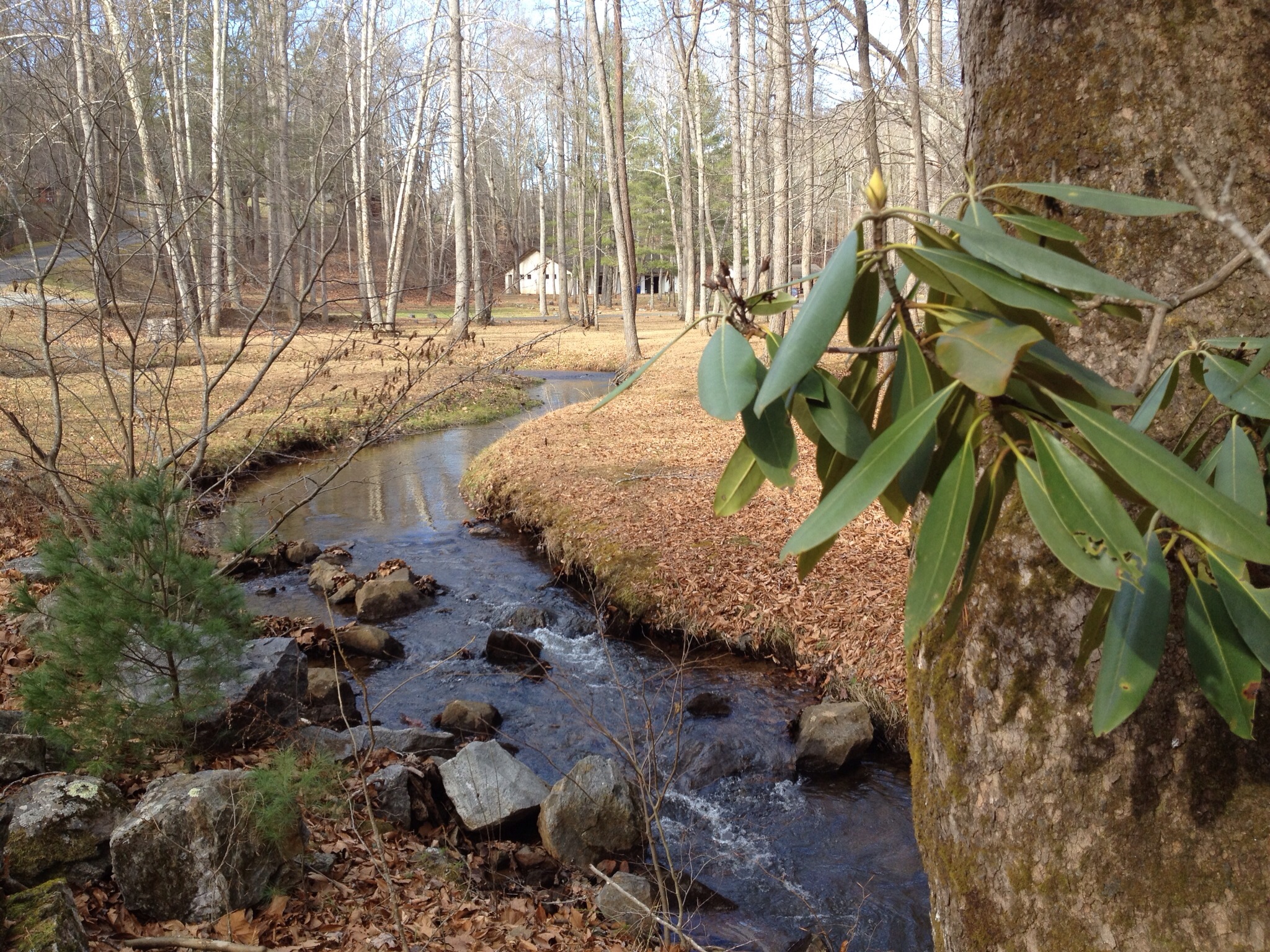
Waterfall, Bowen's Creek

Old Man River

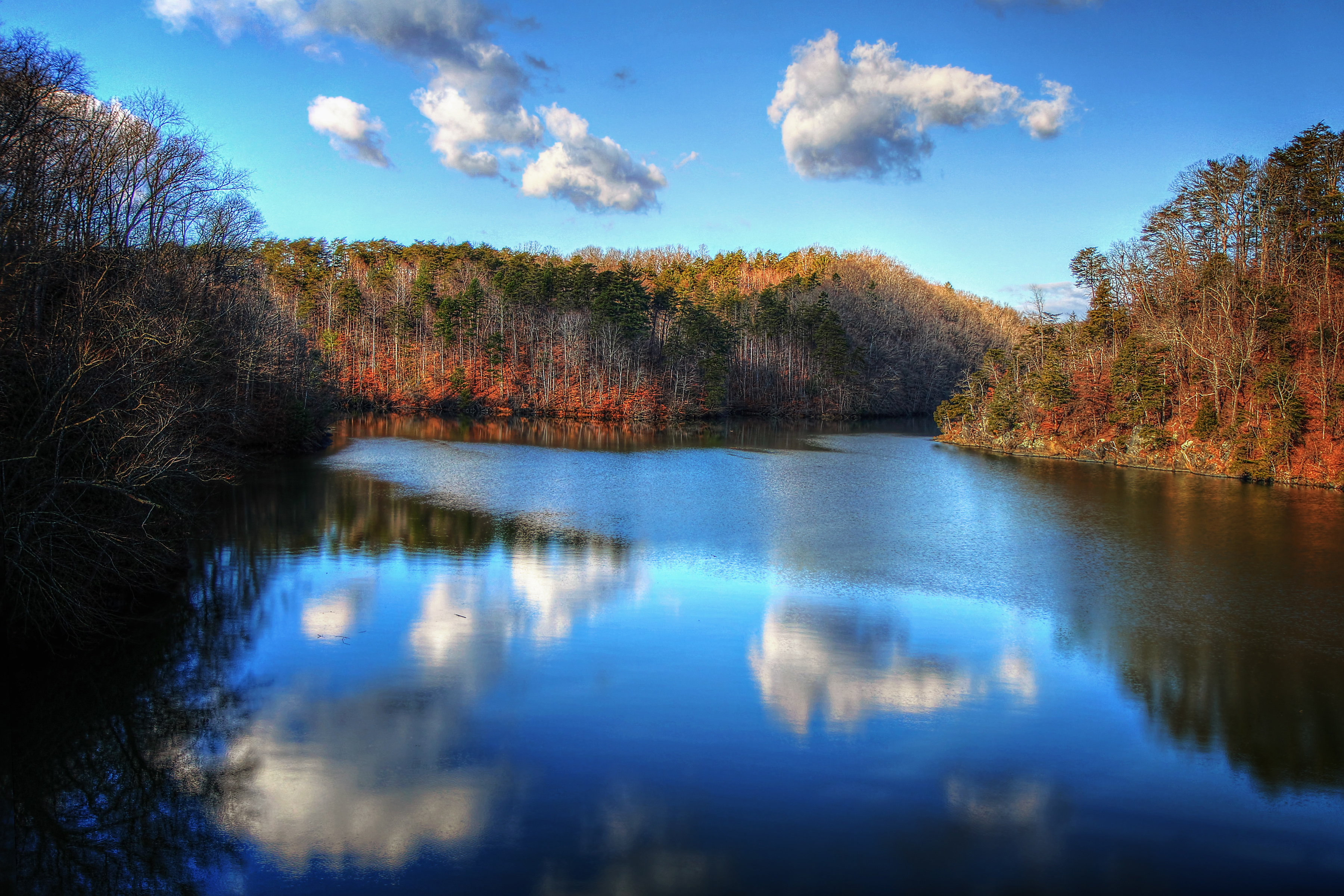
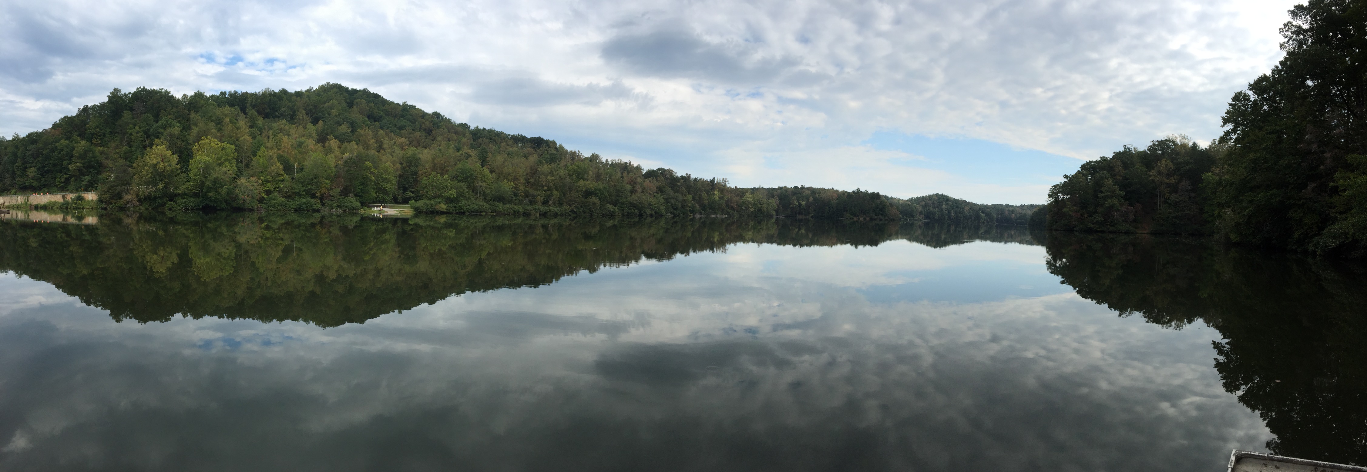
Philpott Lake
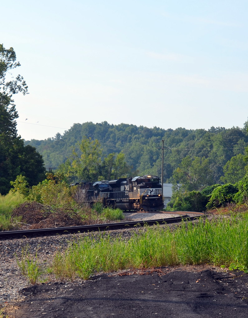
2-NS_TrainGoingThruBassett
Think Outside Photo Contest Fairy Stone State Park
Topographic Map of Fairystone Park Hwy, Bassett, VA, USA
Find elevation by address:

Places near Fairystone Park Hwy, Bassett, VA, USA:
6863 Fairystone Park Hwy
224 Clarence Martin Rd
224 Clarence Martin Rd
1568 Crestview Dr
Philpott Dam
Fairystone Farms Wildlife Management Area
270 Elf Trail
Red Pole Hollow Drive
Fairystone Park Hwy, Bassett, VA, USA
Philpott Lake
Bassett
Sunset Drive
Henry Rd, Henry, VA, USA
7732 Henry Rd
Fairy Stone State Park
2063 Bassett Heights Rd
Henry
Union Church Road
Original Henry Road
Reed Creek
Recent Searches:
- Elevation of Leguwa, Nepal
- Elevation of County Rd, Enterprise, AL, USA
- Elevation of Kolchuginsky District, Vladimir Oblast, Russia
- Elevation of Shustino, Vladimir Oblast, Russia
- Elevation of Lampiasi St, Sarasota, FL, USA
- Elevation of Elwyn Dr, Roanoke Rapids, NC, USA
- Elevation of Congressional Dr, Stevensville, MD, USA
- Elevation of Bellview Rd, McLean, VA, USA
- Elevation of Stage Island Rd, Chatham, MA, USA
- Elevation of Shibuya Scramble Crossing, 21 Udagawacho, Shibuya City, Tokyo -, Japan