Elevation of Excelsior Gardens, Northampton NN5 6YN, UK
Location: United Kingdom > England > Northamptonshire >
Longitude: -0.9613174
Latitude: 52.2512342
Elevation: 112m / 367feet
Barometric Pressure: 100KPa
Elevation Map:
Satellite Map:
Related Photos:

Autumn in Northants

End in Sight

Purple & Black

in a field off a road near Roade

Grand view of the Grand Union
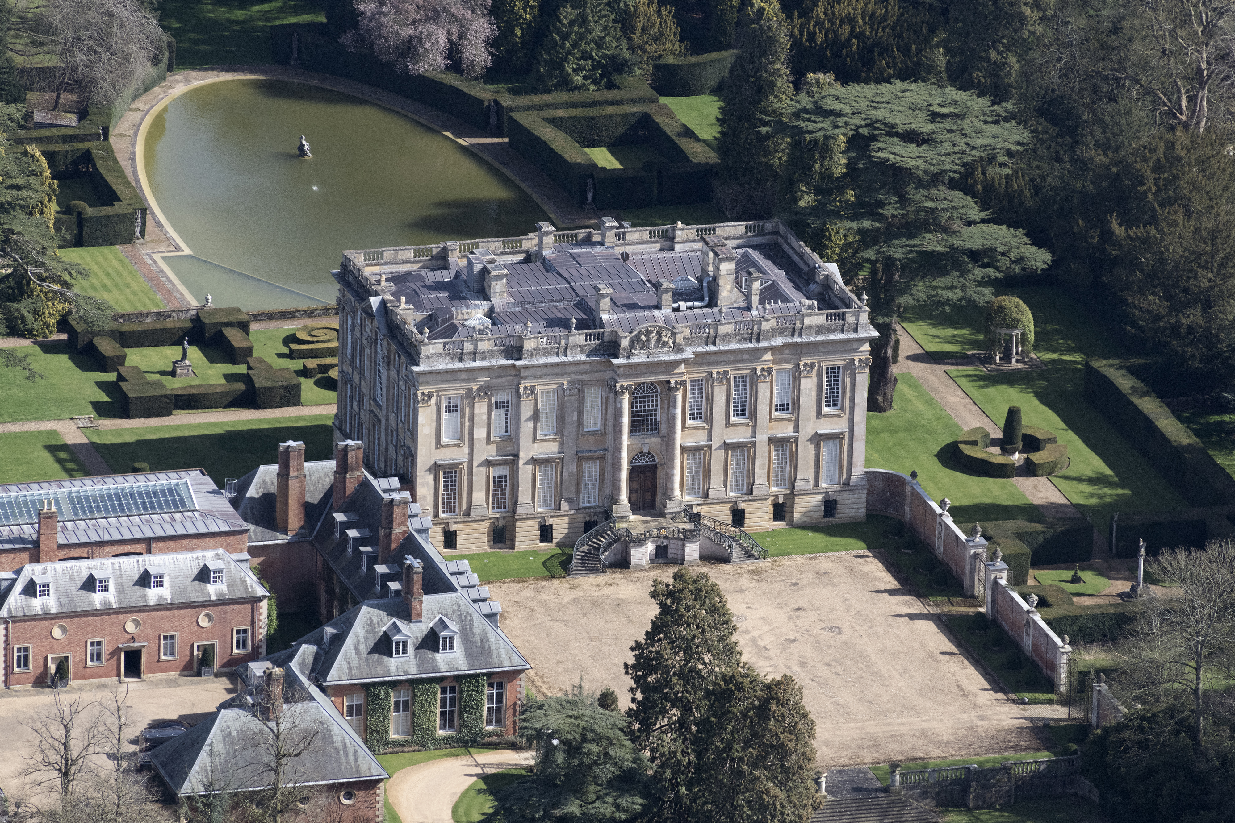
Easton Neston House aerial image

Wider Purple

Brixworth village, Northamptonshire

418ft Northampton's National Abseil Centre aerial image

Northamptonshire Ironstone Railway Trust aerial image
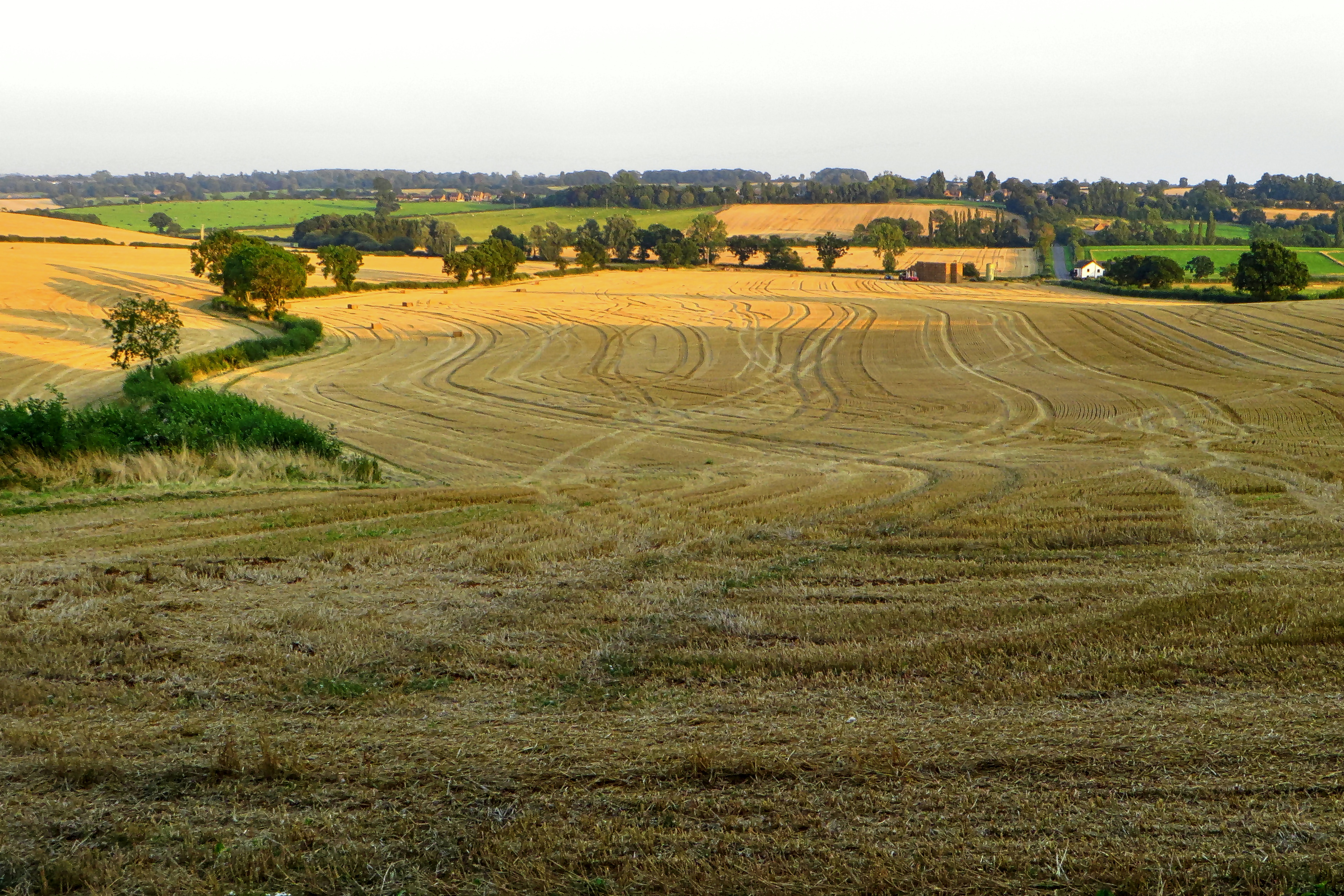
Finished Harvesting

Hunsbury Hill Park & Iron Age Fort aerial image

stormy Roade

Northampton General Hospital aerial image

Easton Neston St Mary church aerial image

Easton Neston House aerial image

Easton Neston House aerial image

St Giles Church - Northampton aerial image

Roade-Old Water Tower

Bleached Terracotta Cones

Admiring the view 500_0474.jpg

A Poppy Painting

New Day

Emperor Dragonfly (f) flying

Holdenby House, Northamptonshire April 2019

Dodford Double

End of the road

Illuminated woods

Lovely view D61_7428.jpg

Northamptonshire country lane near Cottesbrooke

Walk This Way

Caswell Farm

Late Night Drive

Path by the Nene on my way to work

Northamptonshire winter landscape

Over the Nature Reserve In Explore

On the Grand Union Canal in June (series)

In that space between your world and mine

Stairway to Heaven

It's about photography right?
Topographic Map of Excelsior Gardens, Northampton NN5 6YN, UK
Find elevation by address:

Places near Excelsior Gardens, Northampton NN5 6YN, UK:
Harpole
Lyttleton Rd, Northampton NN5 7BF, UK
32a
Chapel Brampton
Northampton
Windyridge
Nn6 8lu
Northamptonshire
Orchard Cottage
Creaton
Moulton
Nn3
30 Gallery Cl, Northampton NN3 5NT, UK
5 Charles Cl, Old, Northampton NN6 9RQ, UK
Old
The Byre Cottage
Walgrave
Hannington
Nn8 6bw
Pytchley
Recent Searches:
- Elevation of Lampiasi St, Sarasota, FL, USA
- Elevation of Elwyn Dr, Roanoke Rapids, NC, USA
- Elevation of Congressional Dr, Stevensville, MD, USA
- Elevation of Bellview Rd, McLean, VA, USA
- Elevation of Stage Island Rd, Chatham, MA, USA
- Elevation of Shibuya Scramble Crossing, 21 Udagawacho, Shibuya City, Tokyo -, Japan
- Elevation of Jadagoniai, Kaunas District Municipality, Lithuania
- Elevation of Pagonija rock, Kranto 7-oji g. 8"N, Kaunas, Lithuania
- Elevation of Co Rd 87, Jamestown, CO, USA
- Elevation of Tenjo, Cundinamarca, Colombia