Elevation of Evans Riceville Rd, Stockett, MT, USA
Location: United States > Montana > Cascade County >
Longitude: -111.09707
Latitude: 47.175325
Elevation: 1414m / 4639feet
Barometric Pressure: 85KPa
Elevation Map:
Satellite Map:
Related Photos:
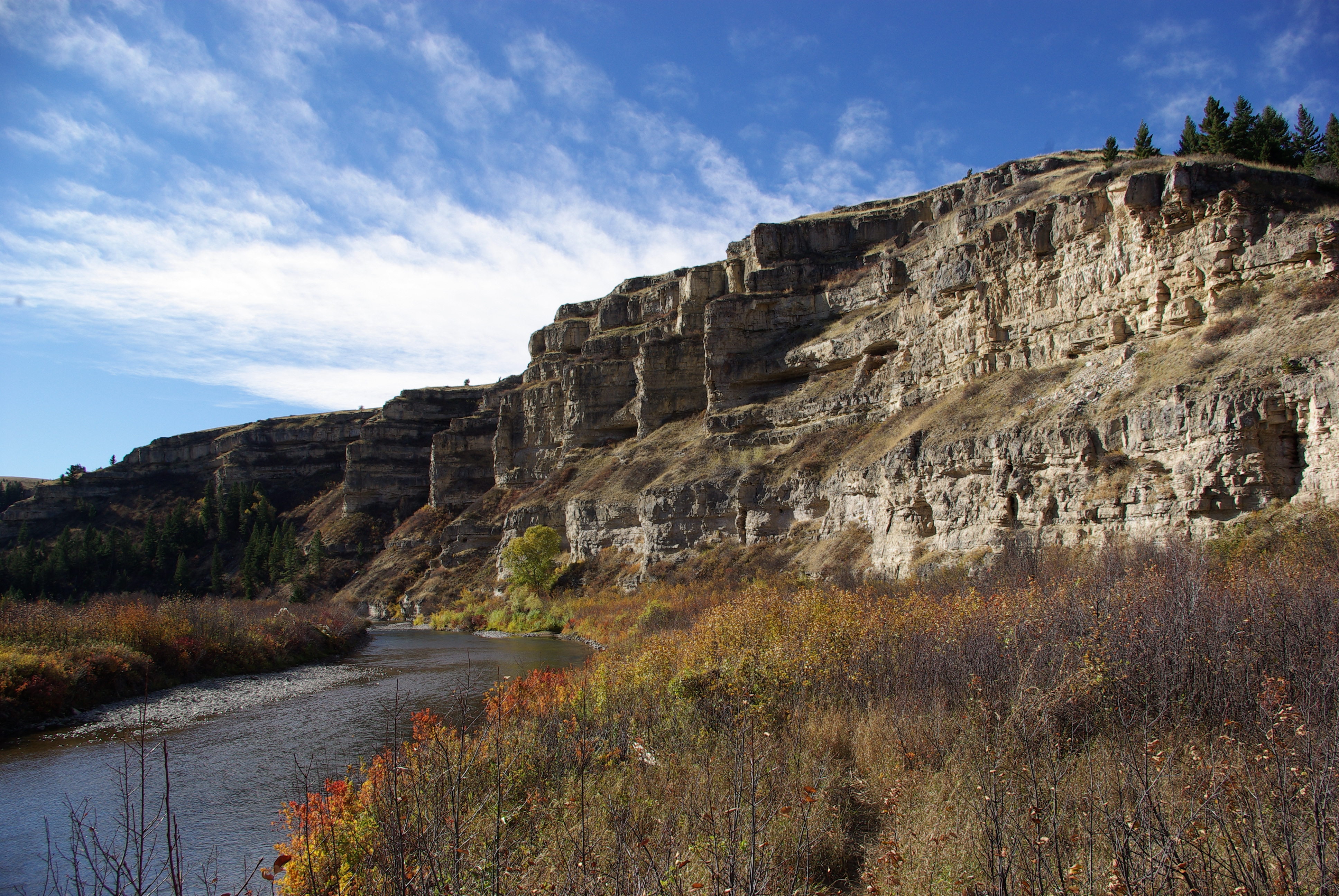
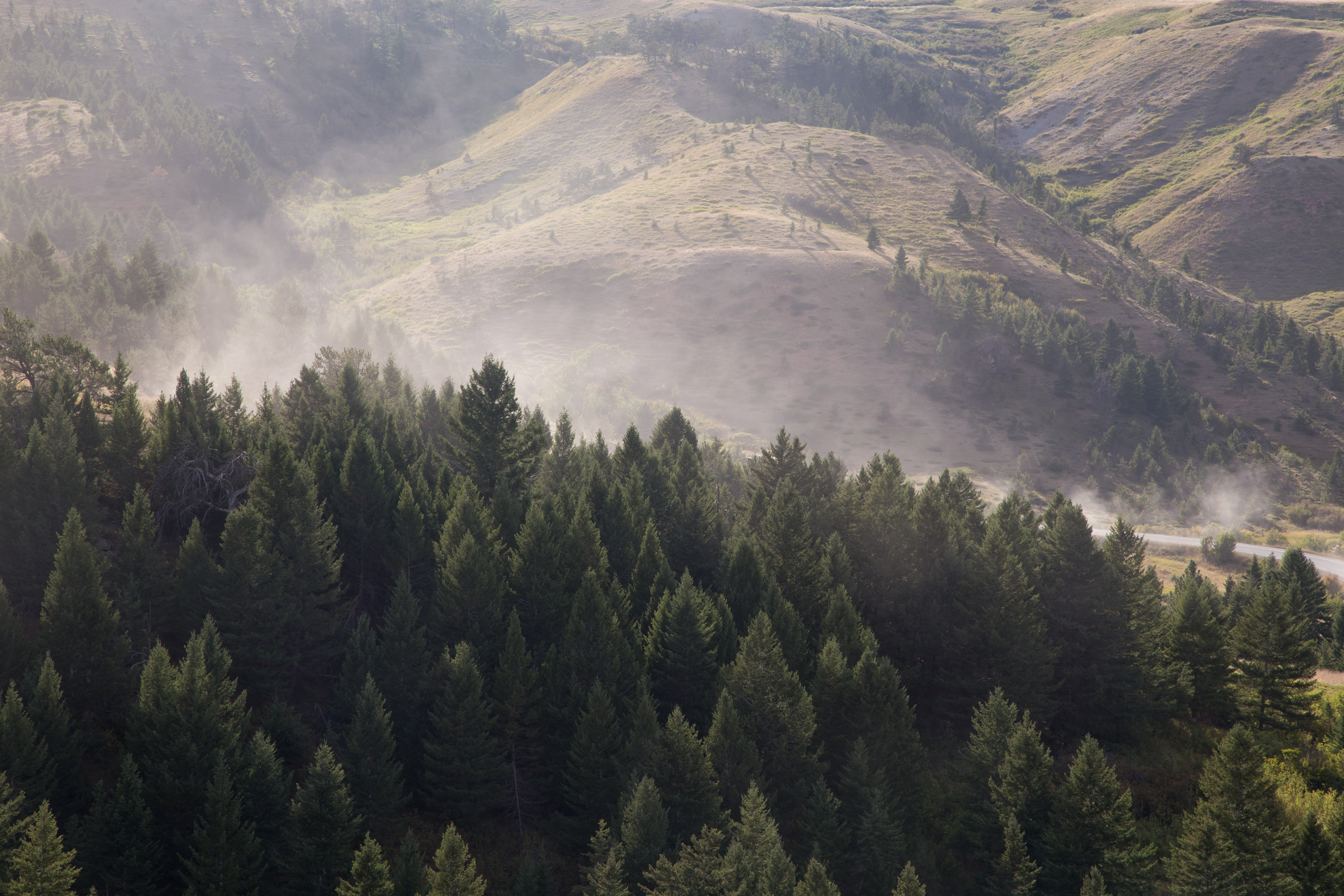
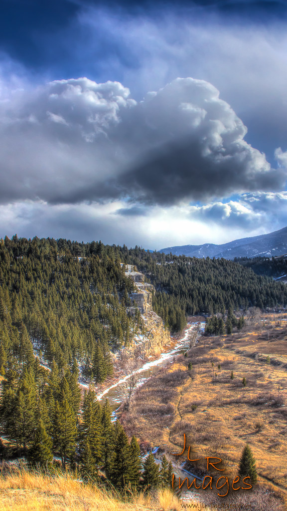
Sluice Boxes State Park
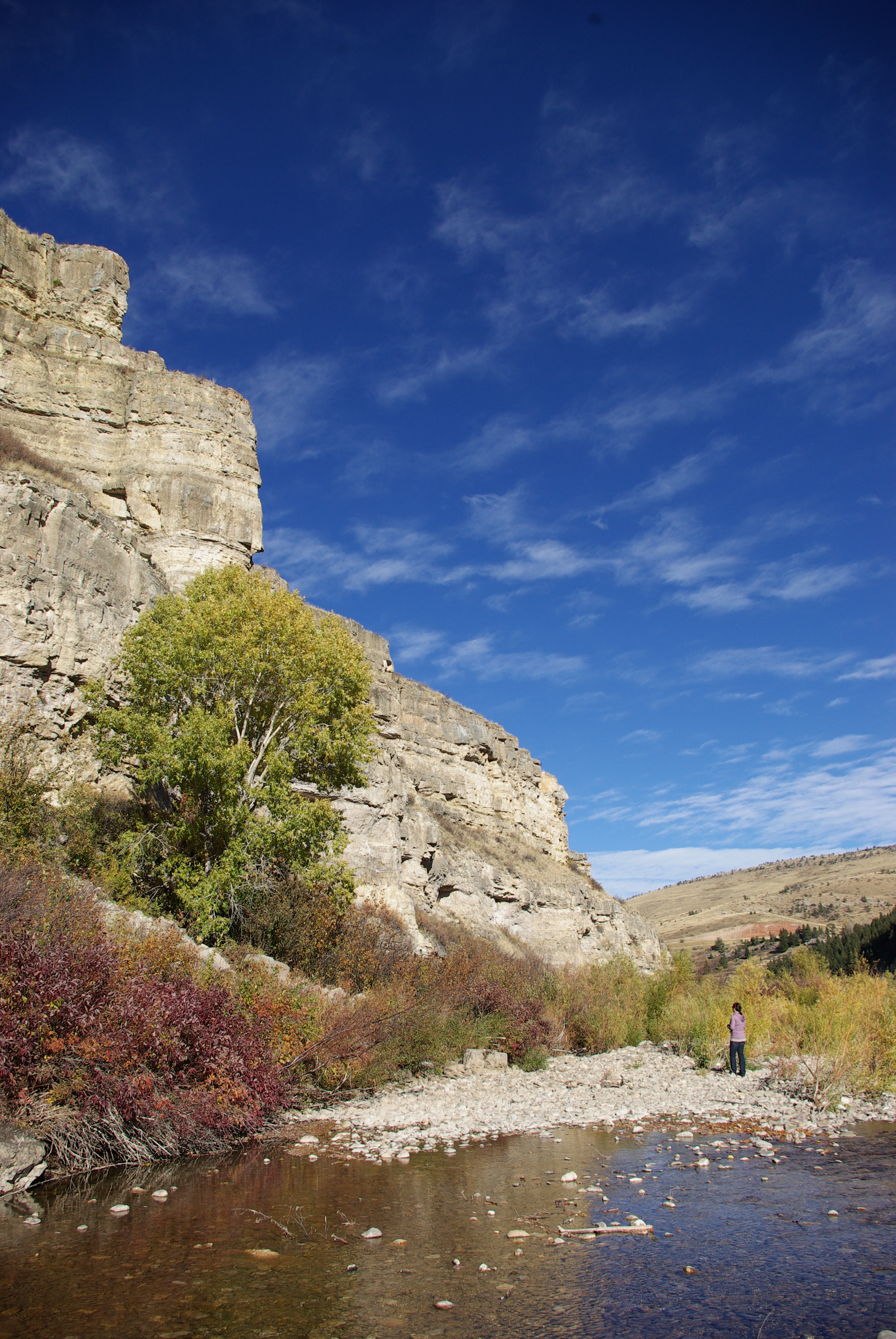
Sluice Boxes State Park
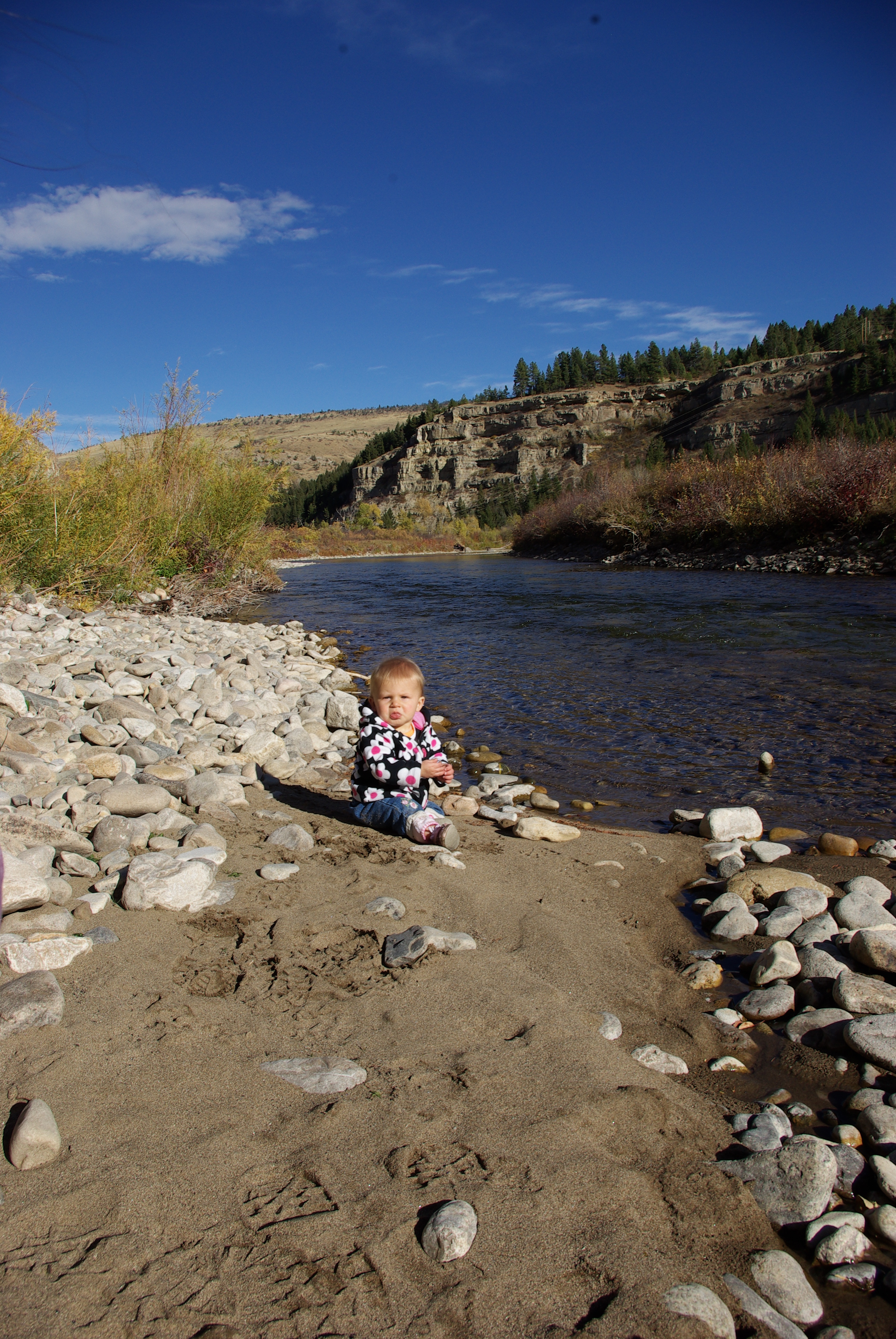
Sluice Boxes State Park

Sluice Boxes State Park
20130905-23332626.jpg

Riceville, Montana
Sluice Boxes
P1140840.jpg
branding 111
20130905-23360832.jpg

Selstrom School
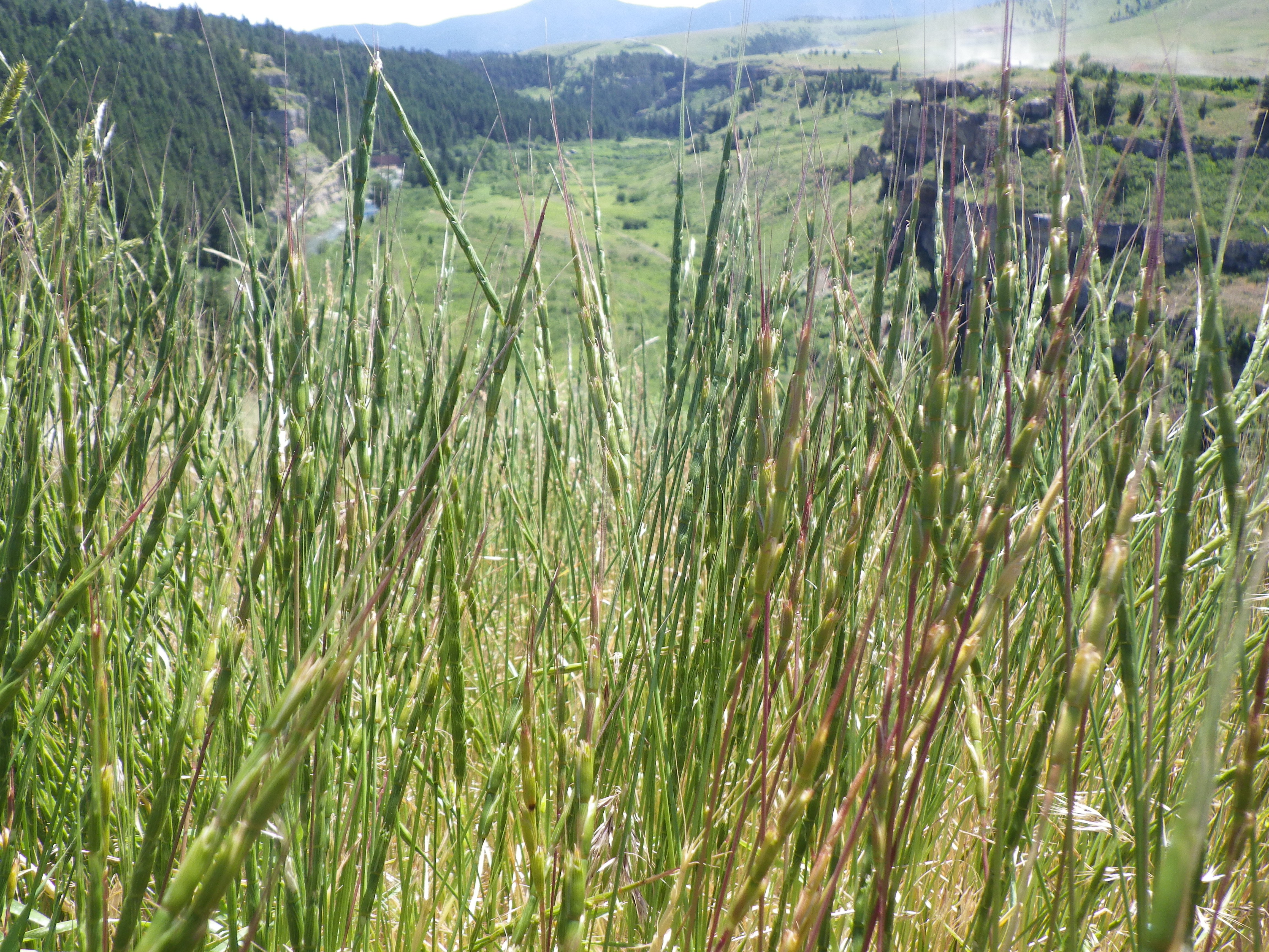
Aegilops cylindrica

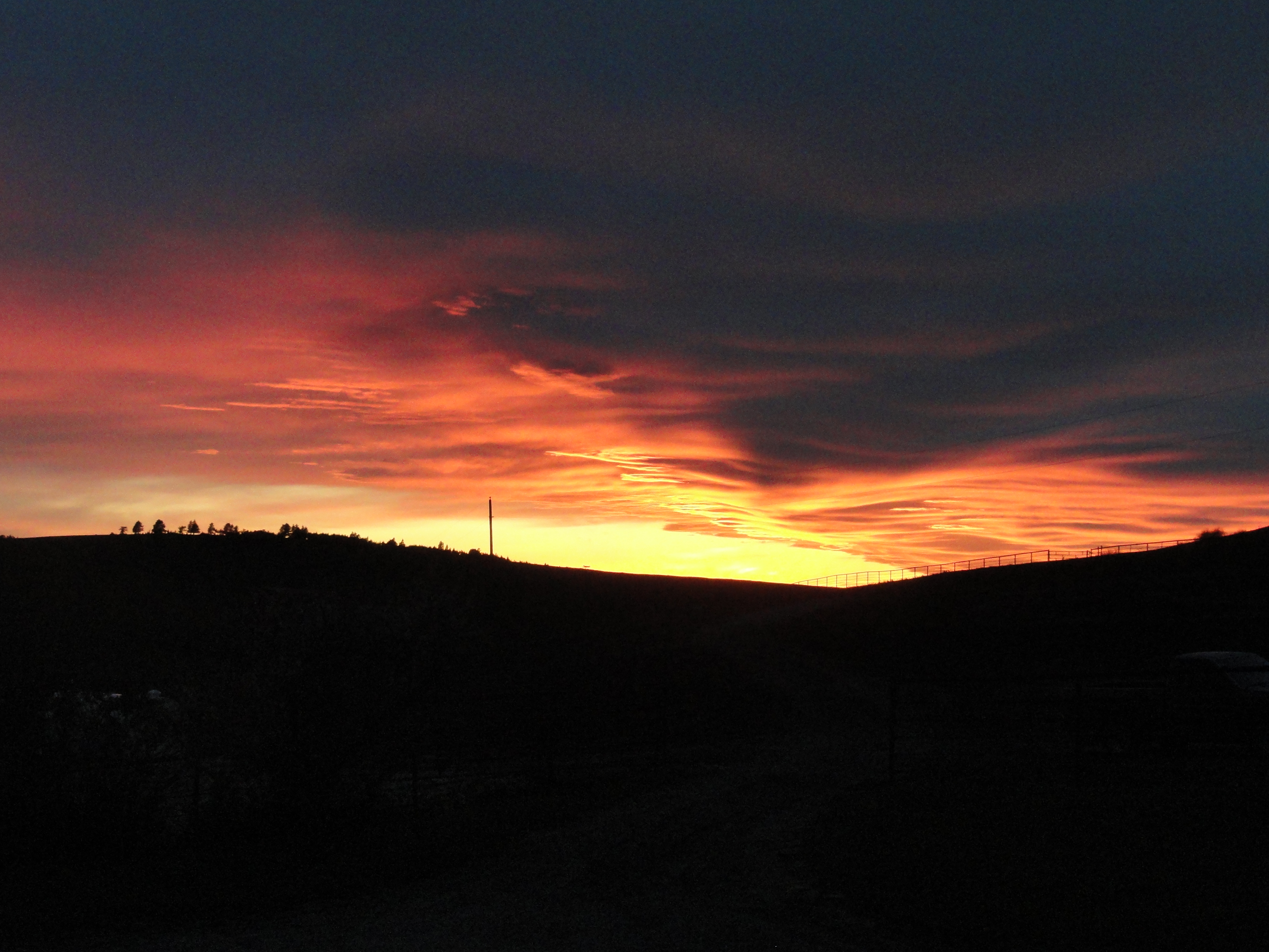
Rainbow over the Belt Mountains
20130905-23360331.jpg

Aegilops cylindrica

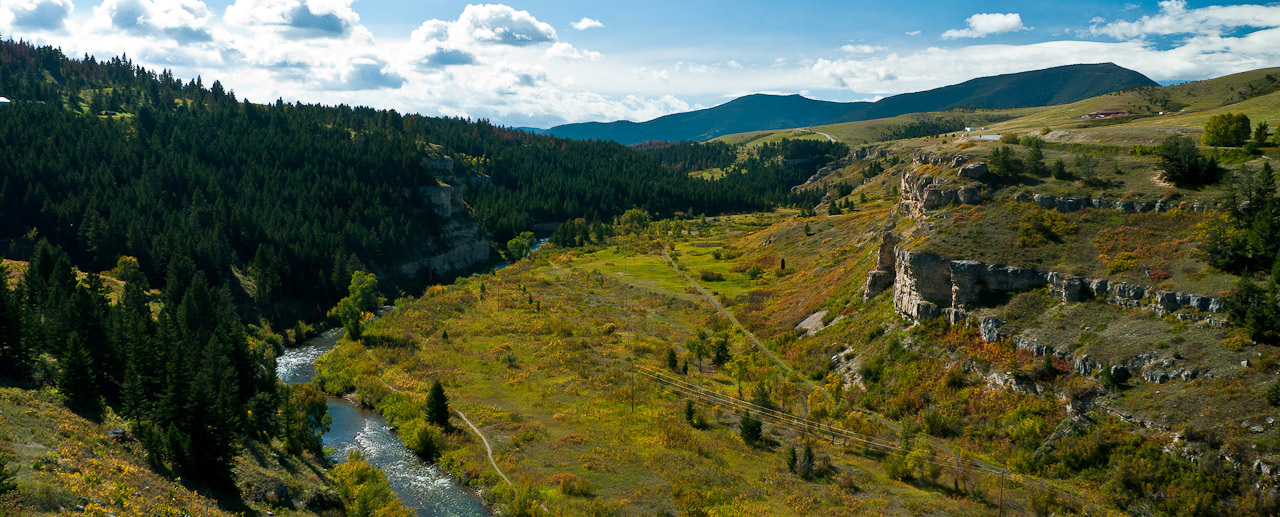
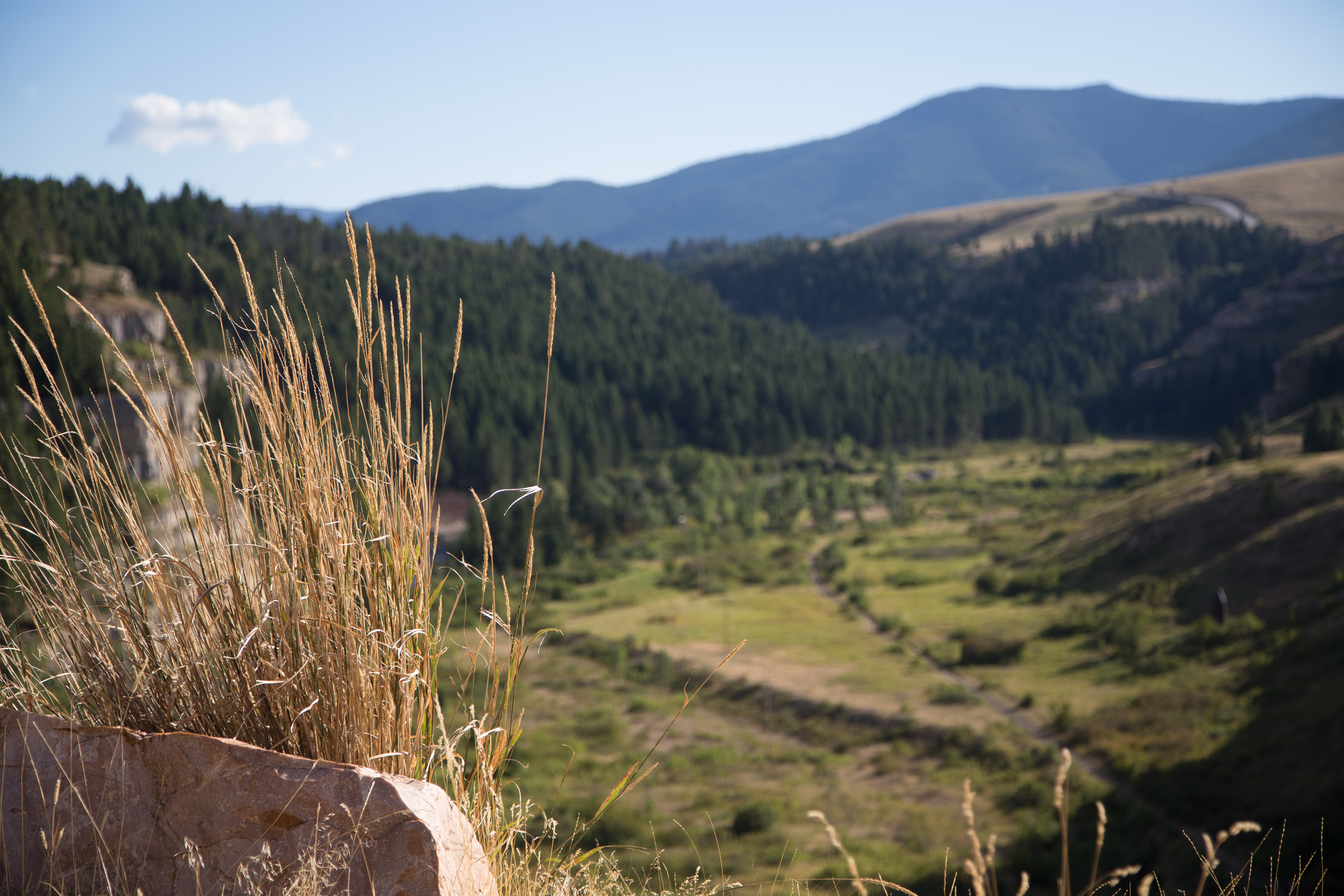
Sluice Boxes State Park

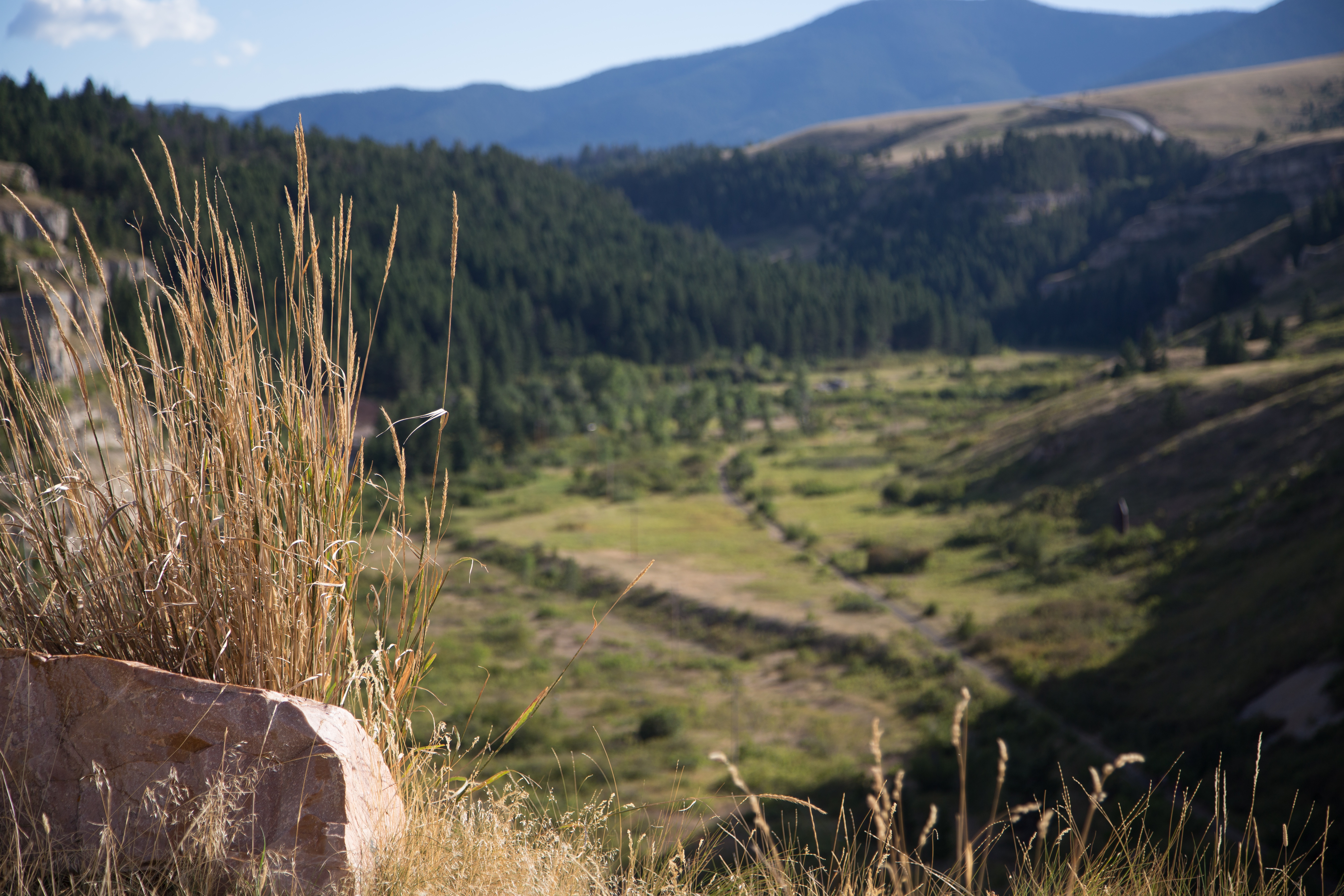
Stacy and Pups Overlooking Sluice Boxes State Park
Topographic Map of Evans Riceville Rd, Stockett, MT, USA
Find elevation by address:

Places near Evans Riceville Rd, Stockett, MT, USA:
Great Falls, MT, USA
Gibson Flats
46 Eaton Ave, Great Falls, MT, USA
80 Hawk Dr
9 Bear Paw Pl
10 Shamrock Ln
15 Cougar Dr
4237 Lewis Ave
1003 Cypress Ct
Great Falls
Central Avenue
3508 Grizzly Ct
1000 38th Ave Ne
2001 48th St N
5th Ave S, Great Falls, MT, USA
Great Falls, MT, USA
1407 8th Ave N
3700 Huckleberry Dr
282 10 Mile Rd
400 Central Ave
Recent Searches:
- Elevation of Corso Fratelli Cairoli, 35, Macerata MC, Italy
- Elevation of Tallevast Rd, Sarasota, FL, USA
- Elevation of 4th St E, Sonoma, CA, USA
- Elevation of Black Hollow Rd, Pennsdale, PA, USA
- Elevation of Oakland Ave, Williamsport, PA, USA
- Elevation of Pedrógão Grande, Portugal
- Elevation of Klee Dr, Martinsburg, WV, USA
- Elevation of Via Roma, Pieranica CR, Italy
- Elevation of Tavkvetili Mountain, Georgia
- Elevation of Hartfords Bluff Cir, Mt Pleasant, SC, USA