Elevation of Great Falls, MT, USA
Location: United States > Montana > Cascade County > Great Falls >
Longitude: -111.35179
Latitude: 47.3016974
Elevation: 1259m / 4131feet
Barometric Pressure: 87KPa
Elevation Map:
Satellite Map:
Related Photos:
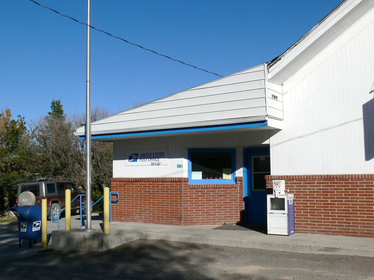
Stockett, Montana 59480
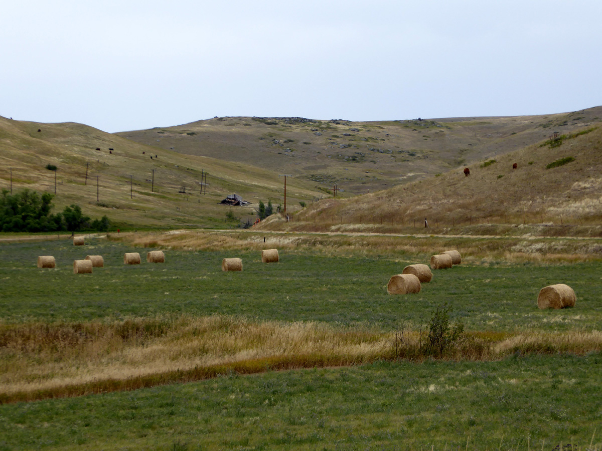
Giffen, Montana

Inside all of us...
20170822 0922 pentax k-1 3983 80mm

Triticum aestivum
20131018095938.jpg
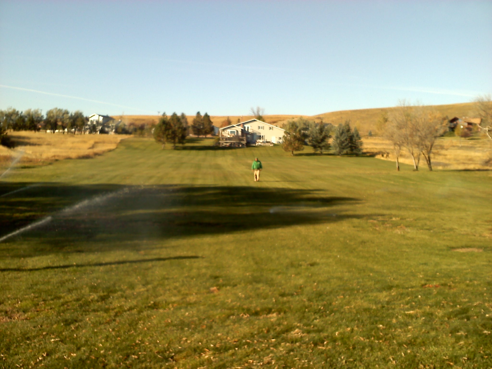
Orr, Montana
Orr, Montana
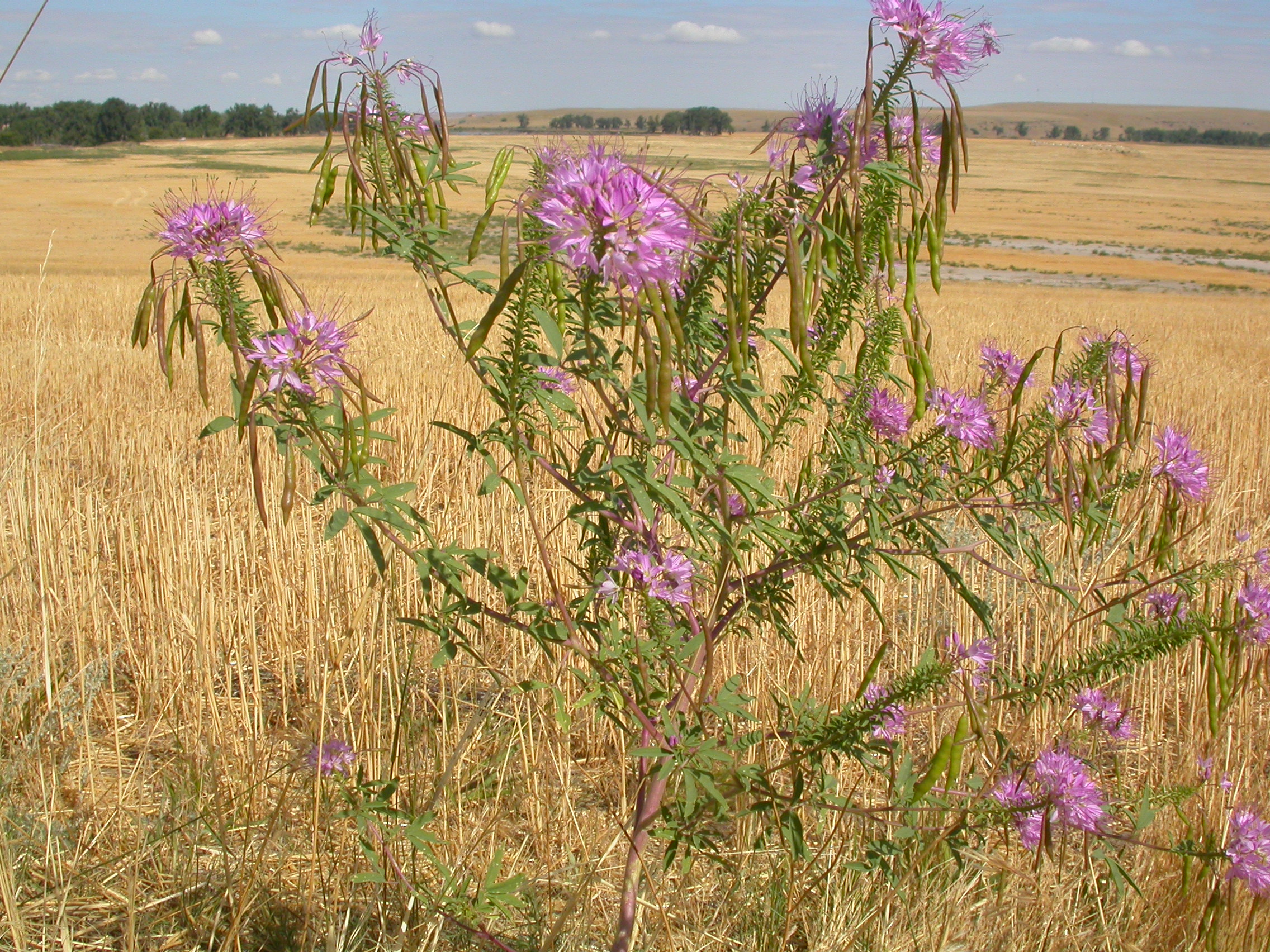
Cleome serrulata
20131018095925.jpg
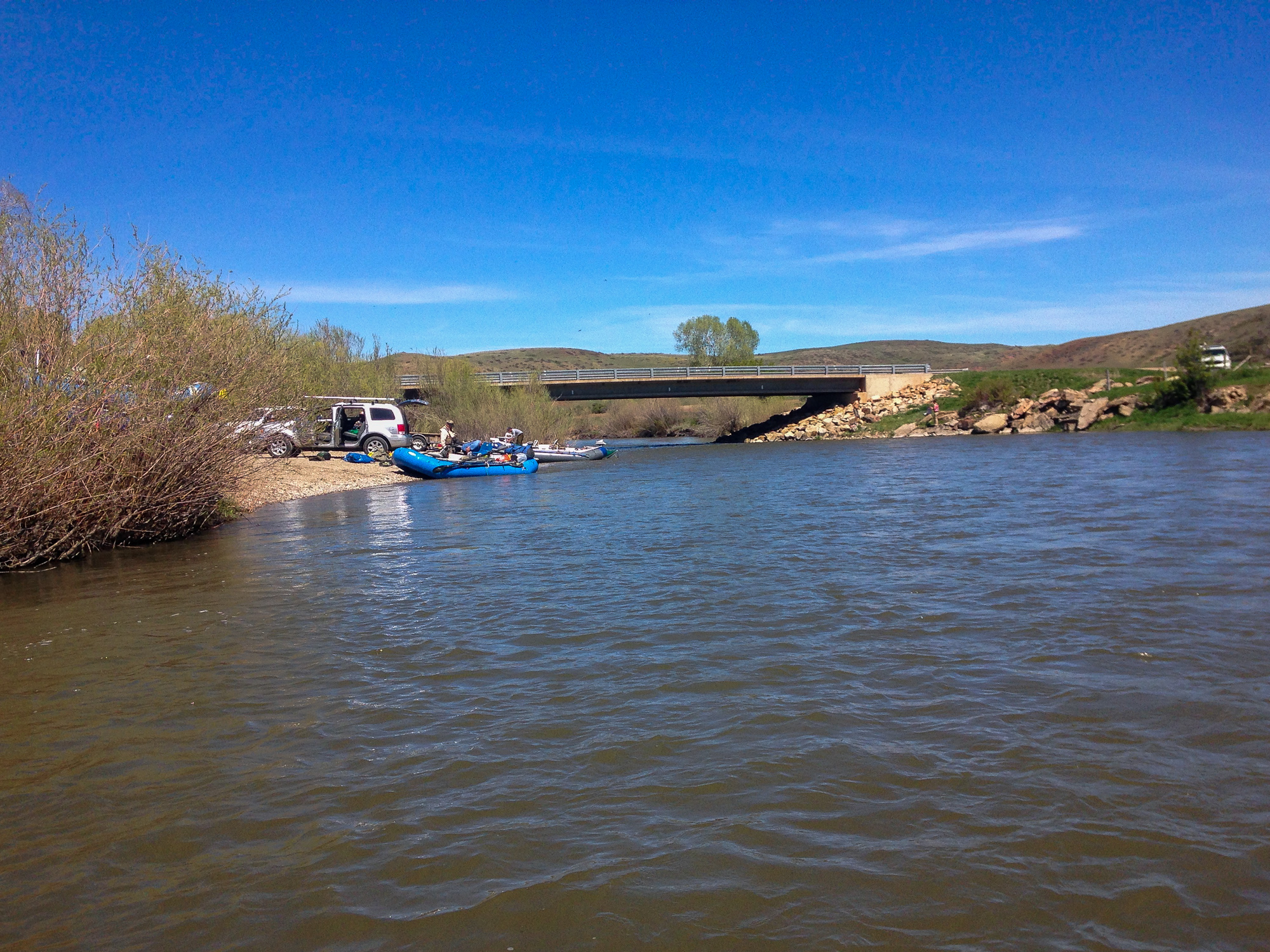
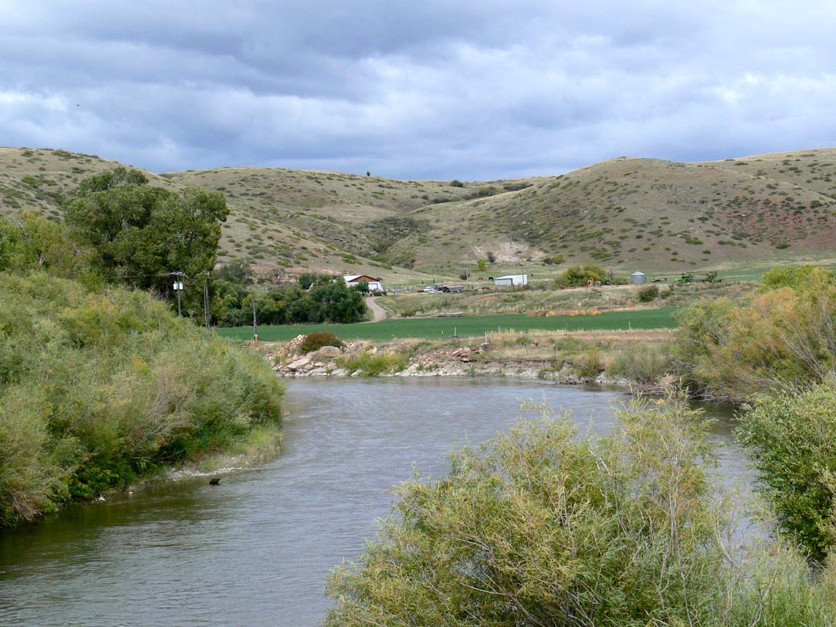
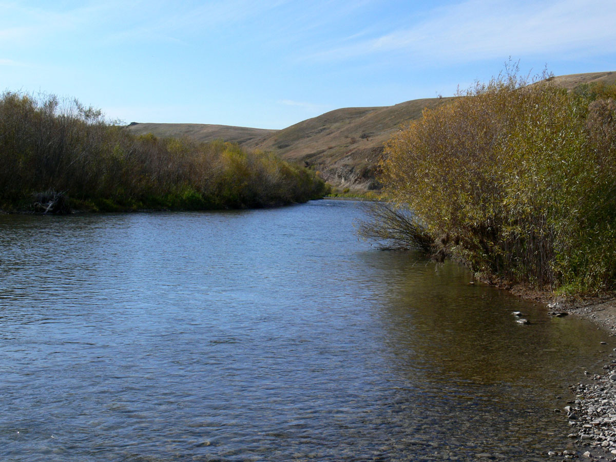
Smith River
Topographic Map of Great Falls, MT, USA
Find elevation by address:

Places near Great Falls, MT, USA:
Milligan Rd, Cascade, MT, USA
282 10 Mile Rd
9 Bear Paw Pl
15 Cougar Dr
80 Hawk Dr
10 Shamrock Ln
3700 Huckleberry Dr
3508 Grizzly Ct
2717 Ivy Dr
2700 Acacia Way
Great Falls International Airport
46 Eaton Ave, Great Falls, MT, USA
Gibson Flats
775 Bay Dr
Great Falls
5th Ave S, Great Falls, MT, USA
1100 1st Ave Nw
400 Central Ave
3001 5th Ave Nw
912 Avenue B Nw
Recent Searches:
- Elevation of Co Rd 87, Jamestown, CO, USA
- Elevation of Tenjo, Cundinamarca, Colombia
- Elevation of Côte-des-Neiges, Montreal, QC H4A 3J6, Canada
- Elevation of Bobcat Dr, Helena, MT, USA
- Elevation of Zu den Ihlowbergen, Althüttendorf, Germany
- Elevation of Badaber, Peshawar, Khyber Pakhtunkhwa, Pakistan
- Elevation of SE Heron Loop, Lincoln City, OR, USA
- Elevation of Slanický ostrov, 01 Námestovo, Slovakia
- Elevation of Spaceport America, Co Rd A, Truth or Consequences, NM, USA
- Elevation of Warwick, RI, USA