Elevation of Eureka Peak, Johnsville, CA, USA
Location: United States > California > Plumas County > Johnsville >
Longitude: -120.72105
Latitude: 39.7490633
Elevation: 2181m / 7155feet
Barometric Pressure: 78KPa
Elevation Map:
Satellite Map:
Related Photos:
Trail Side View

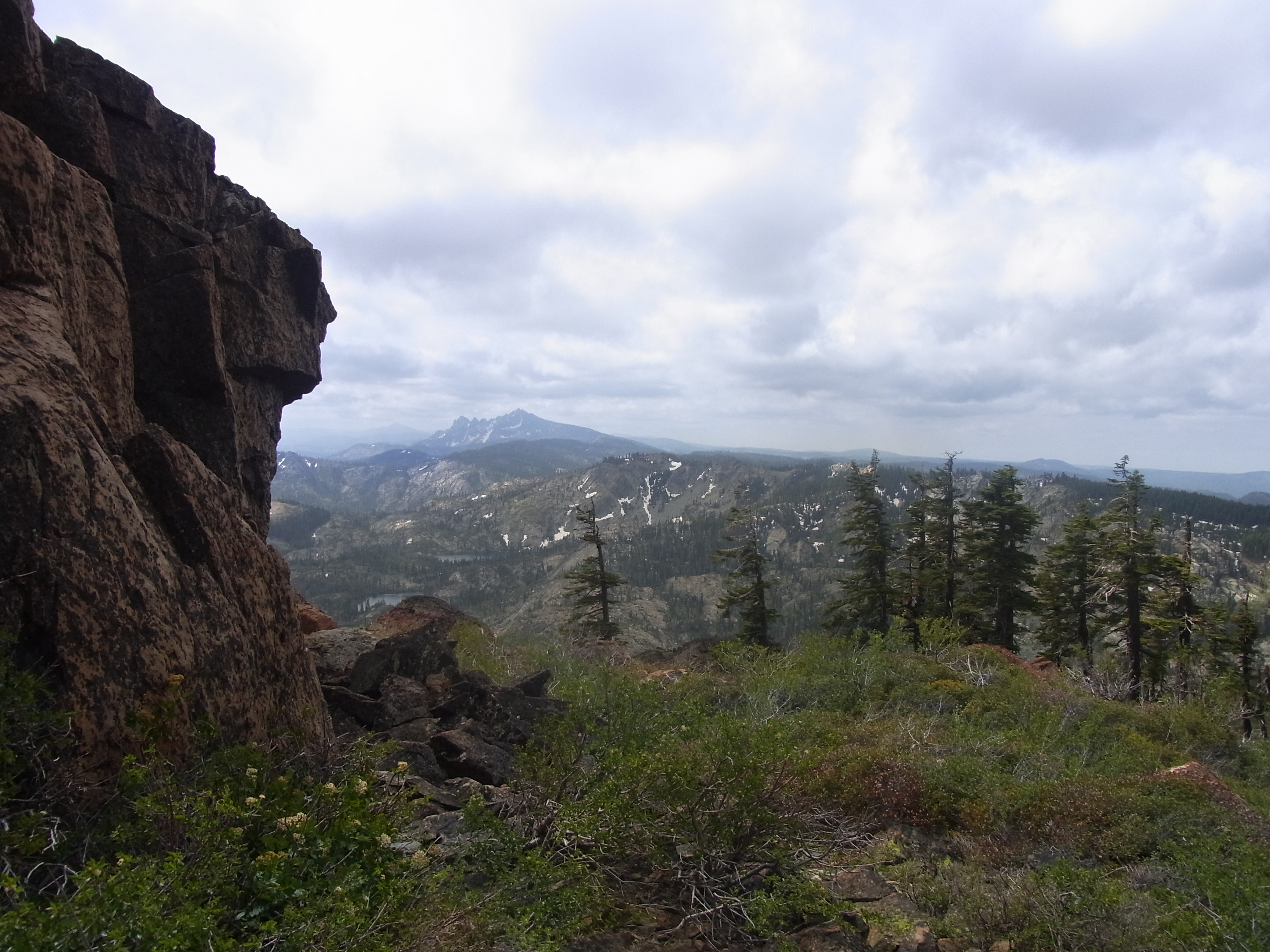
I Can See for Miles and Miles

Frazier Falls

Mountain Lakes below Mount Elwell in the Plumas National Forest (elwell88x)
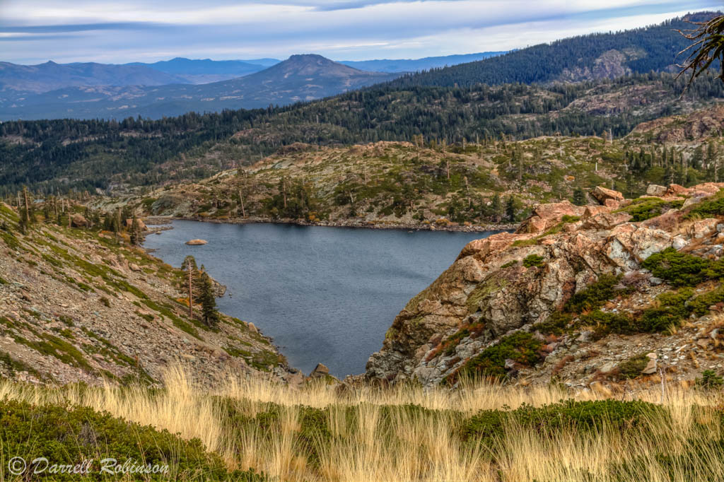
View from S Eureka Peak
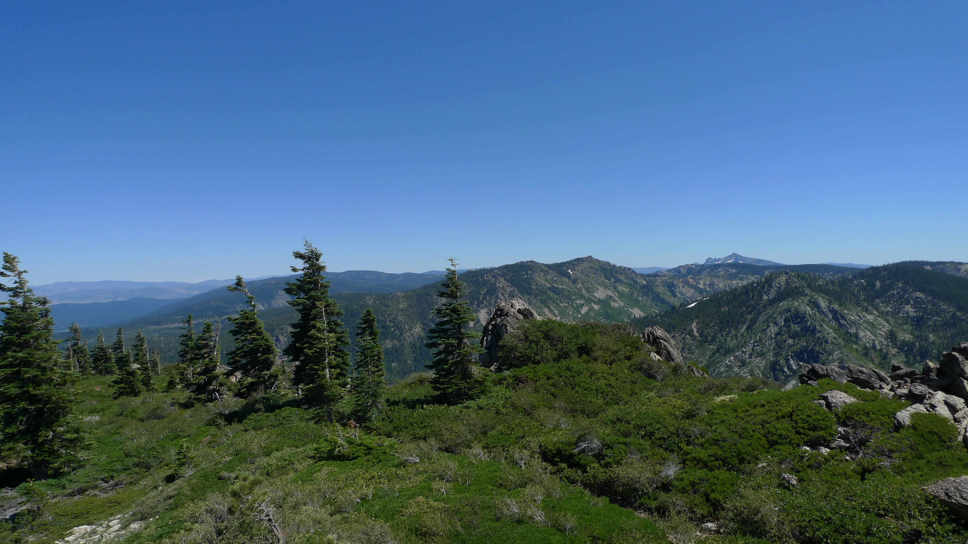
First view of Sierra Buttes
Topographic Map of Eureka Peak, Johnsville, CA, USA
Find elevation by address:

Places near Eureka Peak, Johnsville, CA, USA:
Eureka Lake
Plumas-eureka State Park
Johnsville
Plumas Eureka
65 Eureka Springs Dr
293 Eureka Springs Dr
482 Smith Creek Rd
409 Lundy Ln
85 Icehouse Rd, Blairsden-Graeagle, CA, USA
15 Yokut Trail
Graeagle
Blairsden-graeagle
Yokut Trail
88 Yonkalla Trail
9 Wintun Trail
9 Wintun Trail
Wishram Trail
Blairsden
Mt Tomba Rd, Cromberg, CA, USA
31 Kato Trail
Recent Searches:
- Elevation of Corso Fratelli Cairoli, 35, Macerata MC, Italy
- Elevation of Tallevast Rd, Sarasota, FL, USA
- Elevation of 4th St E, Sonoma, CA, USA
- Elevation of Black Hollow Rd, Pennsdale, PA, USA
- Elevation of Oakland Ave, Williamsport, PA, USA
- Elevation of Pedrógão Grande, Portugal
- Elevation of Klee Dr, Martinsburg, WV, USA
- Elevation of Via Roma, Pieranica CR, Italy
- Elevation of Tavkvetili Mountain, Georgia
- Elevation of Hartfords Bluff Cir, Mt Pleasant, SC, USA