Elevation of Mt Tomba Rd, Cromberg, CA, USA
Location: United States > California > Plumas County > Cromberg >
Longitude: -120.68509
Latitude: 39.8560075
Elevation: 1345m / 4413feet
Barometric Pressure: 86KPa
Elevation Map:
Satellite Map:
Related Photos:

Creekside Bouquet

Monster Moth
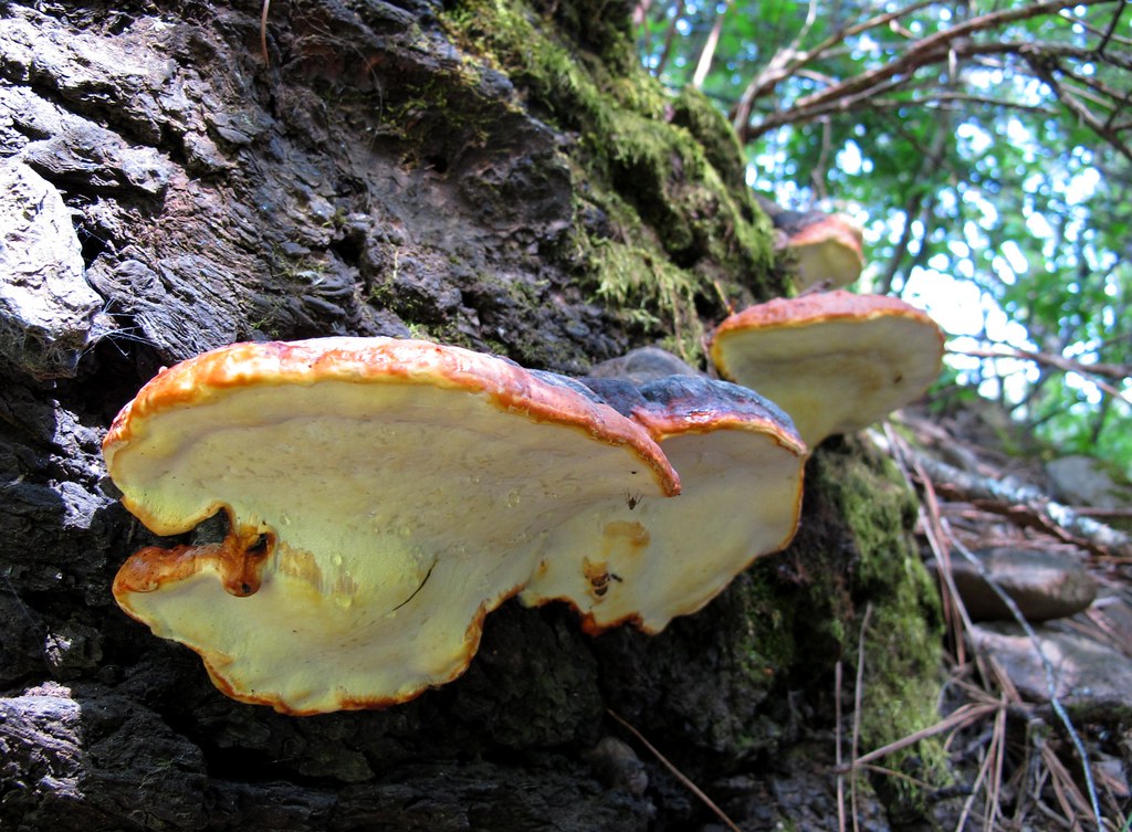
Fungus Amongus
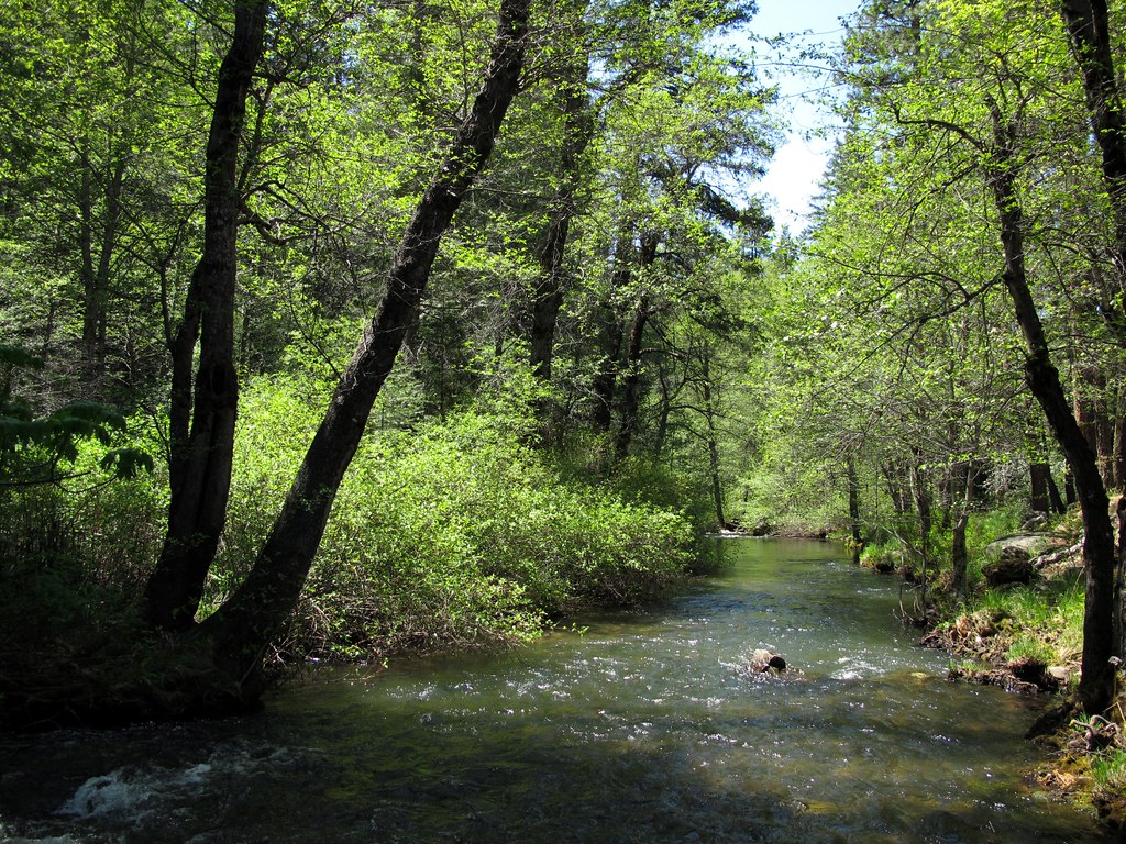
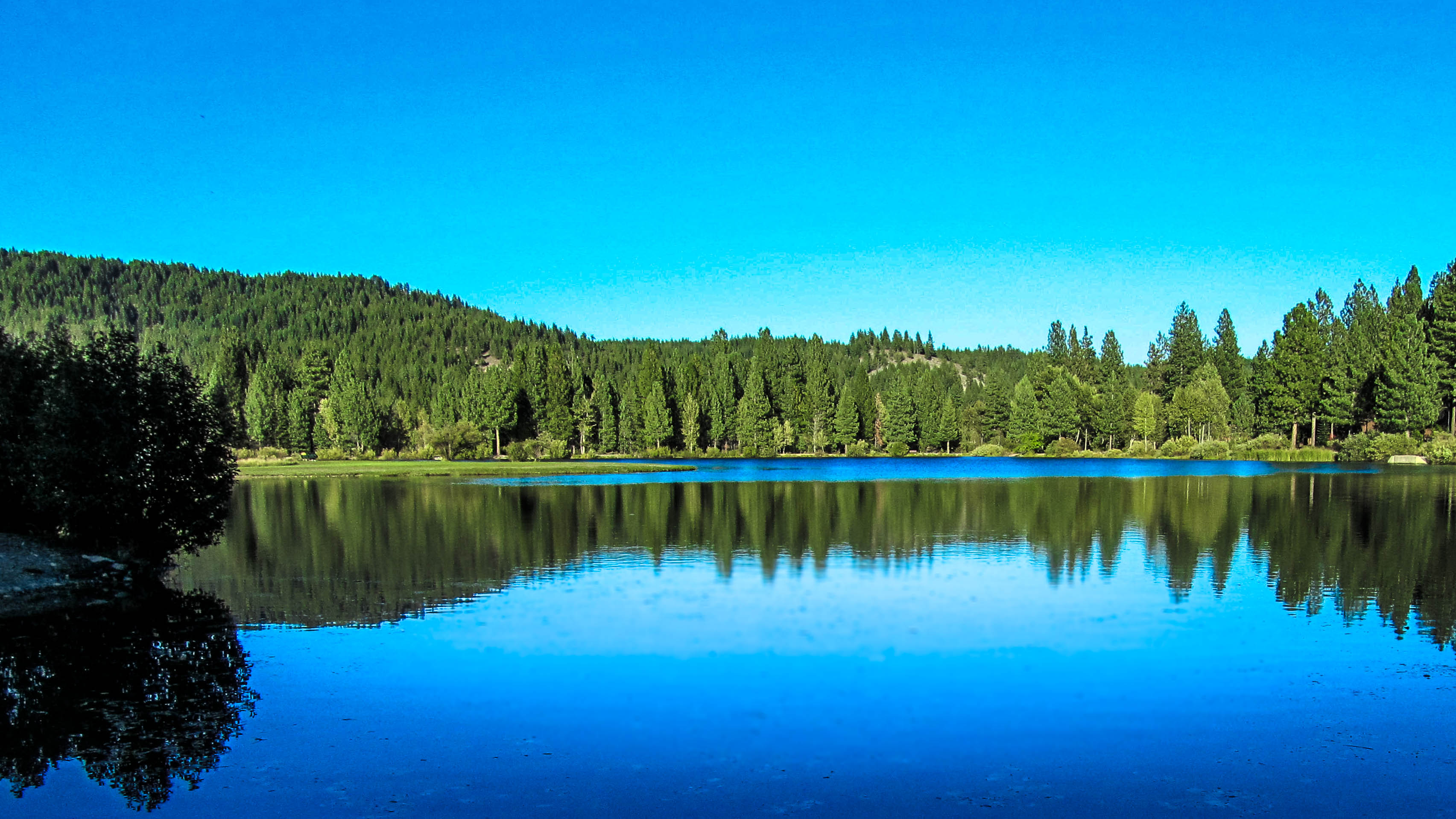
Green Tranquility
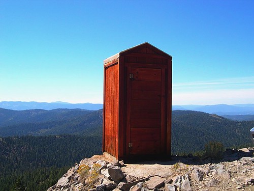
Room with a View
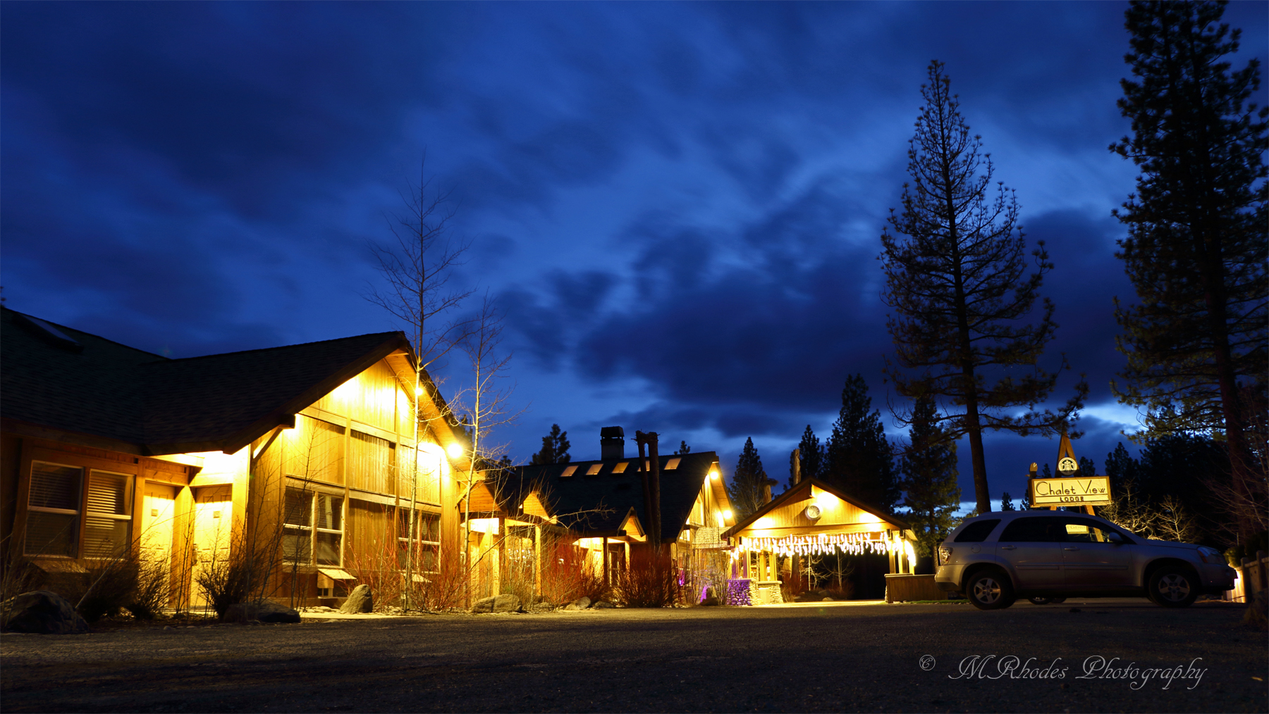
Chalet View Lodge
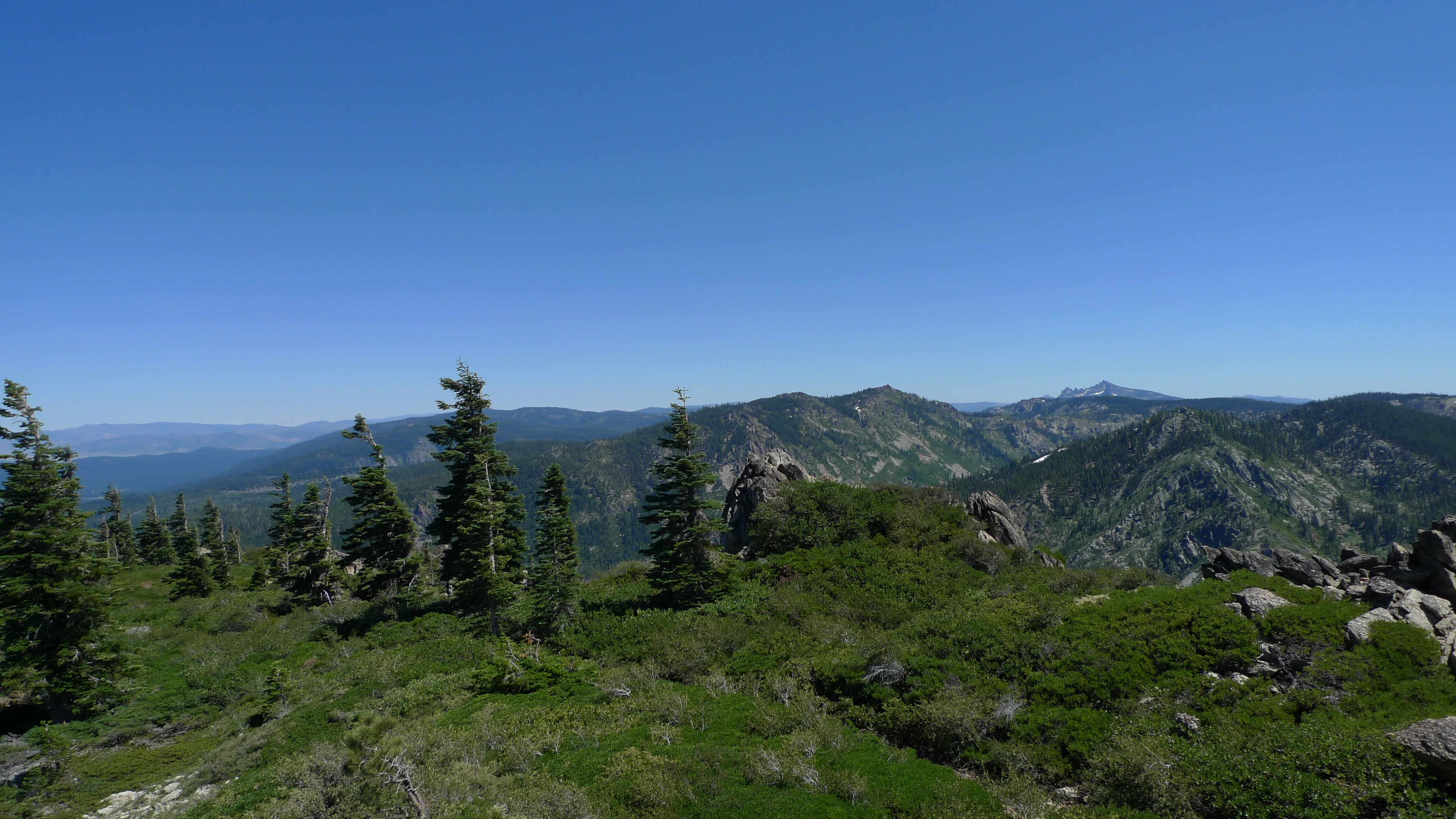
View from S Eureka Peak

"O beautiful for spacious skies, For amber Waves of grain, For purple mountain majesties . . . " #America
Around the loop

On the way home from Quincy today, I had to stop for this shot. #Sierra #Mountains
The Trout Pond. From a client photo shoot today.
Around Christmas Tree Haven

Garrett looking off Eureka Peak
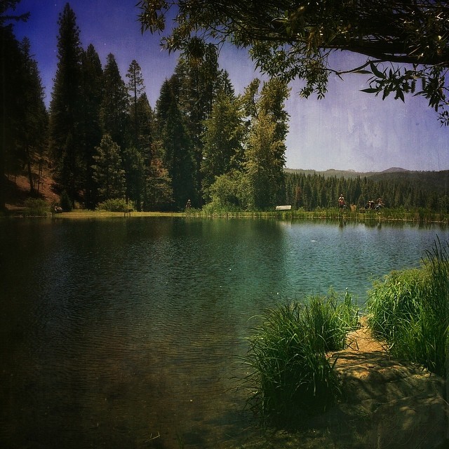
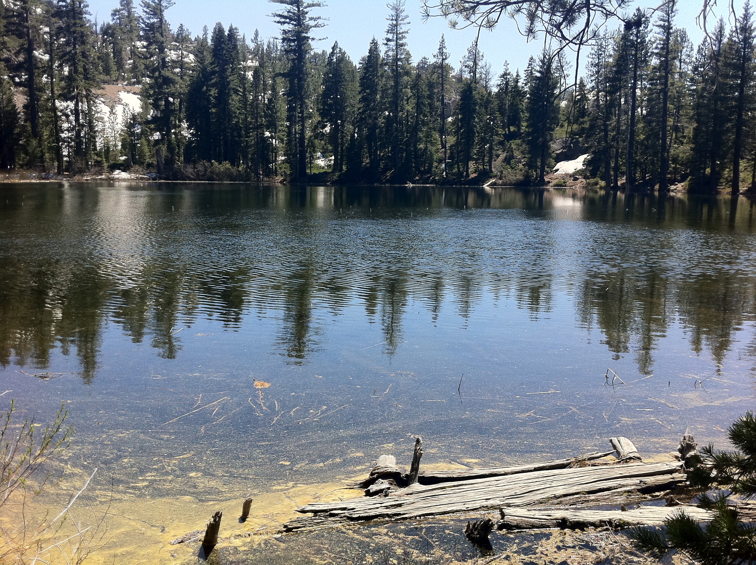
The Mill Pond
Camera Roll-95

Camera Roll-93

Xmas eve hike

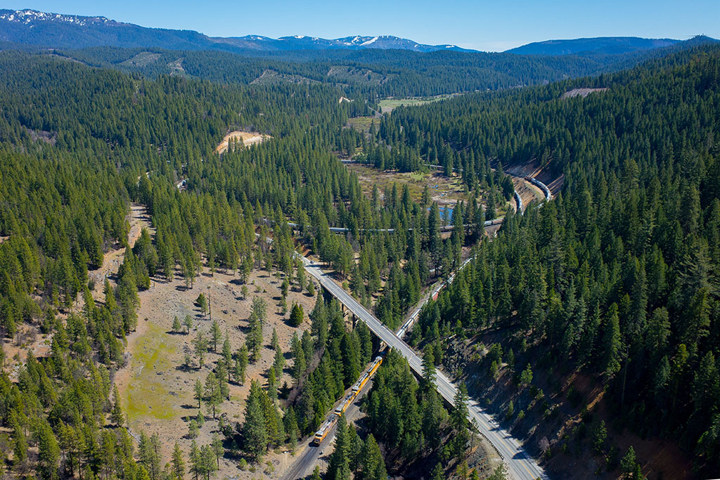
Into the valley
IMG_8193.jpg
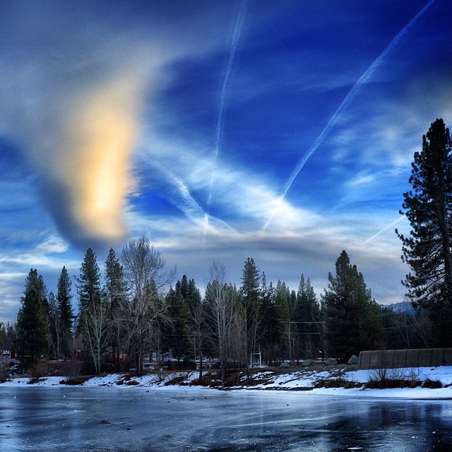
Blue Sky Over Ice. #Sierra #sunset #graeagle
Topographic Map of Mt Tomba Rd, Cromberg, CA, USA
Find elevation by address:

Places near Mt Tomba Rd, Cromberg, CA, USA:
Cromberg
Plumas Eureka
409 Lundy Ln
293 Eureka Springs Dr
65 Eureka Springs Dr
85 Icehouse Rd, Blairsden-Graeagle, CA, USA
Johnsville
Plumas-eureka State Park
482 Smith Creek Rd
Eureka Lake
Blairsden
Blairsden-graeagle
Spring Garden
CA-70, Quincy, CA, USA
Graeagle
Eureka Peak
9 Wintun Trail
9 Wintun Trail
15 Yokut Trail
Yokut Trail
Recent Searches:
- Elevation of Rojo Ct, Atascadero, CA, USA
- Elevation of Flagstaff Drive, Flagstaff Dr, North Carolina, USA
- Elevation of Avery Ln, Lakeland, FL, USA
- Elevation of Woolwine, VA, USA
- Elevation of Lumagwas Diversified Farmers Multi-Purpose Cooperative, Lumagwas, Adtuyon, RV32+MH7, Pangantucan, Bukidnon, Philippines
- Elevation of Homestead Ridge, New Braunfels, TX, USA
- Elevation of Orchard Road, Orchard Rd, Marlborough, NY, USA
- Elevation of 12 Hutchinson Woods Dr, Fletcher, NC, USA
- Elevation of Holloway Ave, San Francisco, CA, USA
- Elevation of Norfolk, NY, USA