Elevation of Erickson Dike Rd, Clatskanie, OR, USA
Location: United States > Oregon > Columbia County > Clatskanie >
Longitude: -123.22603
Latitude: 46.143566
Elevation: 3m / 10feet
Barometric Pressure: 101KPa
Elevation Map:
Satellite Map:
Related Photos:
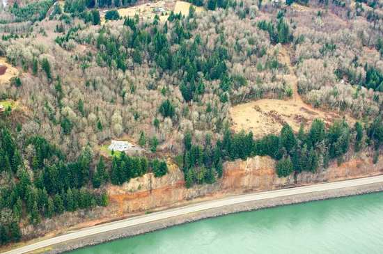
21386.jpg

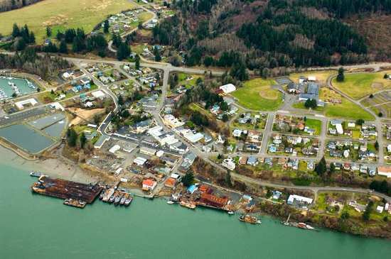
Beaver Creek Roadside

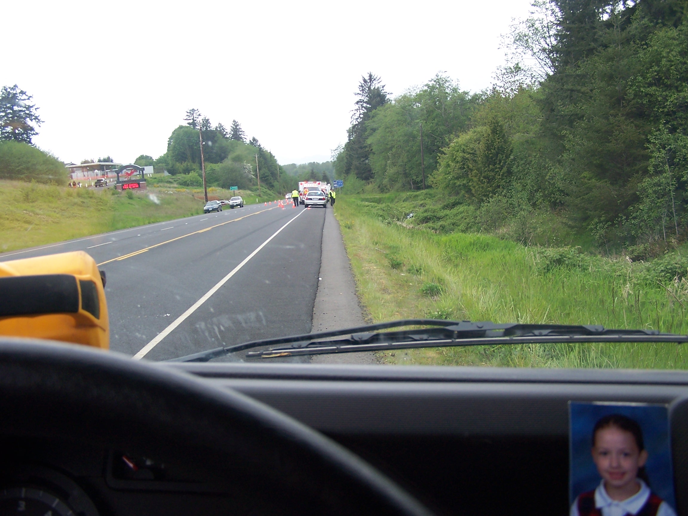
Clatskanie Oregon Fire Dept and Ambulance
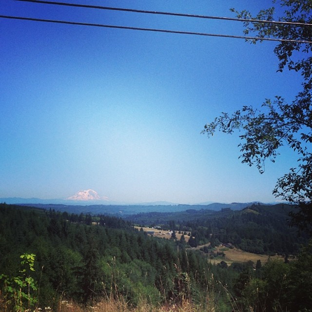
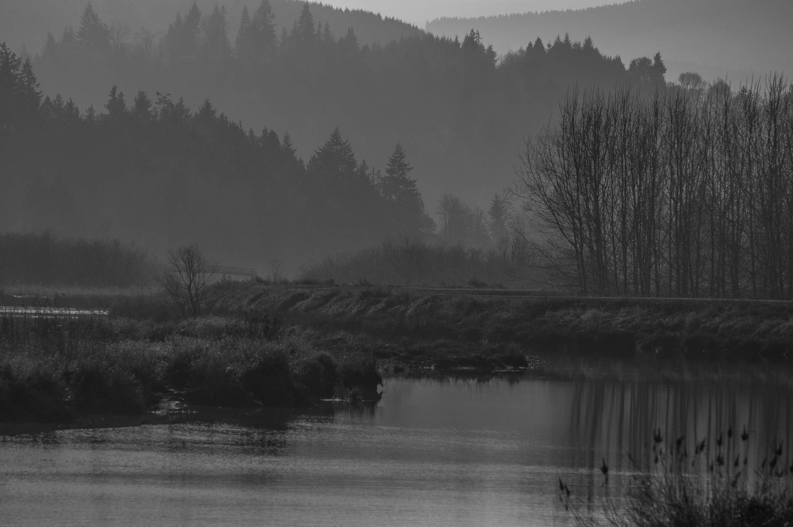
view from mist-clatskanie hwy
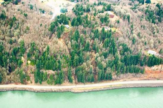
21154.jpg

Clatskanie, Oregon Fire Dept and Ambulance

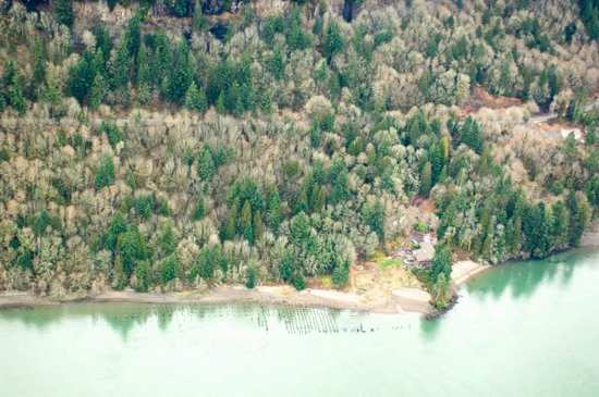
A Columbia River home

view from my office #2
view from my office window #1
21398.jpg
21397.jpg

20141122-1349-00014-Longview - Views-Edit
every big ass climb ends in a sick view of mt. rainier and mt. St. Helens #deadlyrigs

Oregon state highway 47

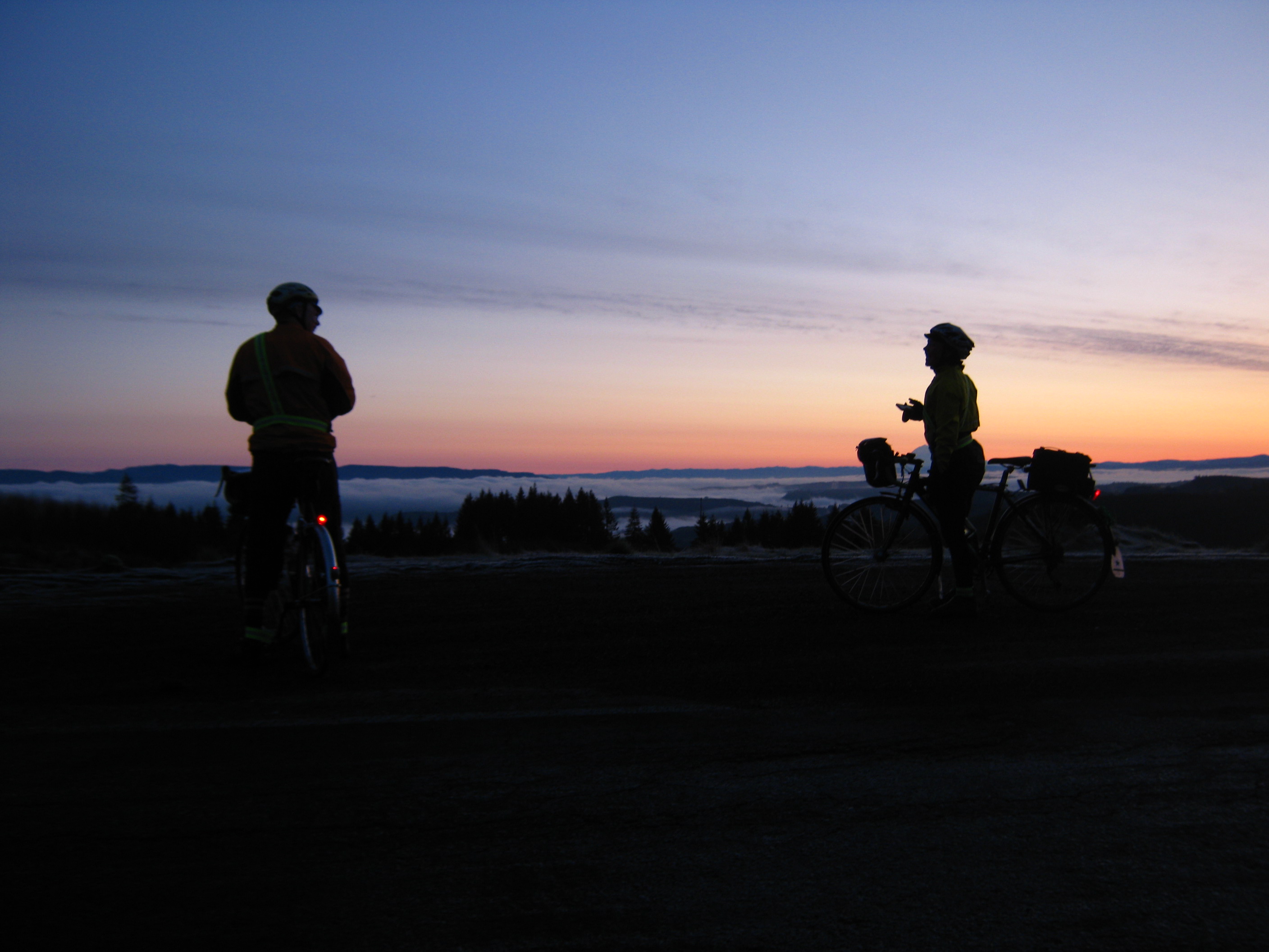
Bill stopped to take pictures of the view, so I took a picture of him just as well

View from the Mist-Clatskanie Highway
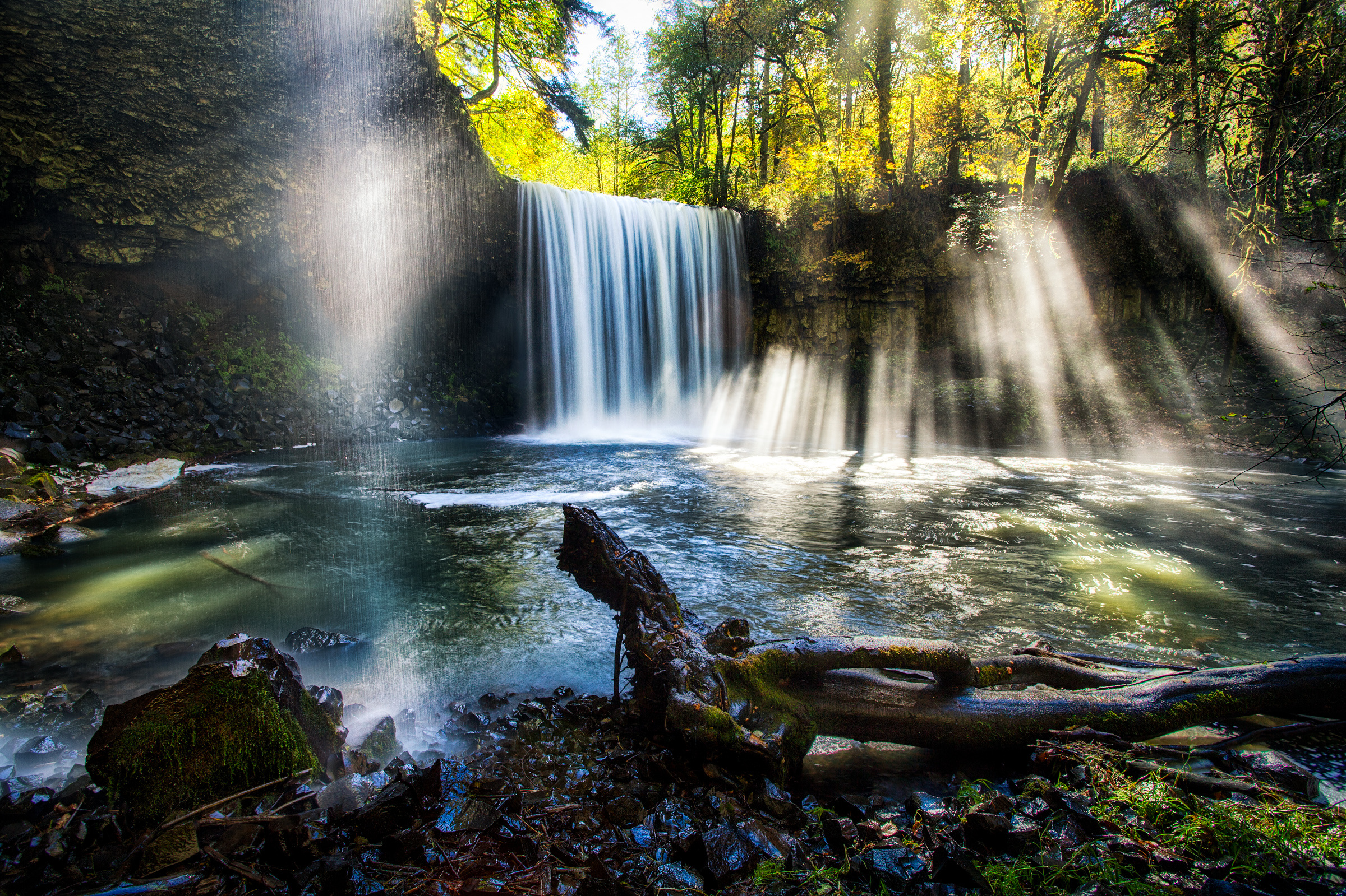
Beaver Falls in Oregon by Michael Matti
... winter country road, Columbia County, Oregon...

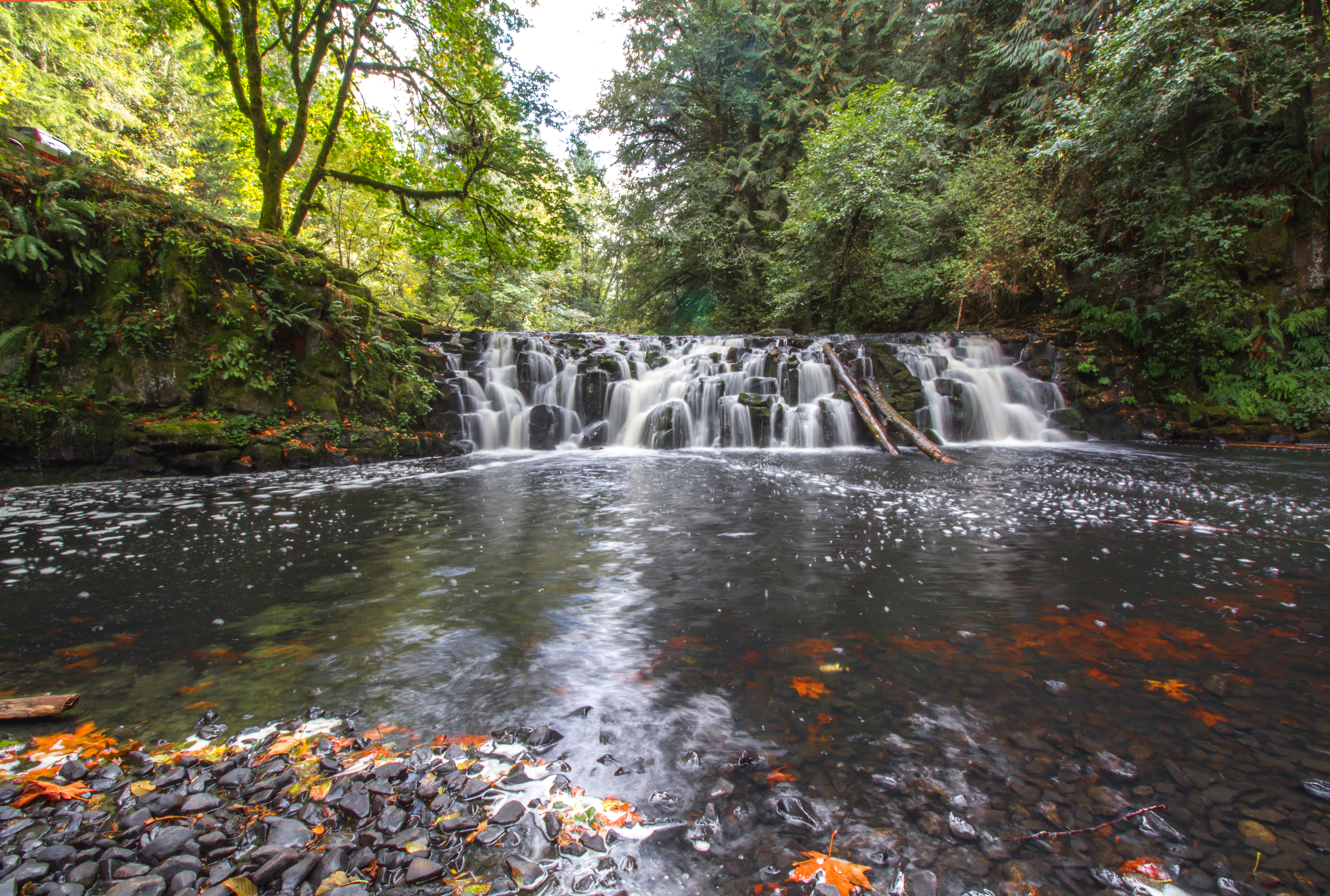
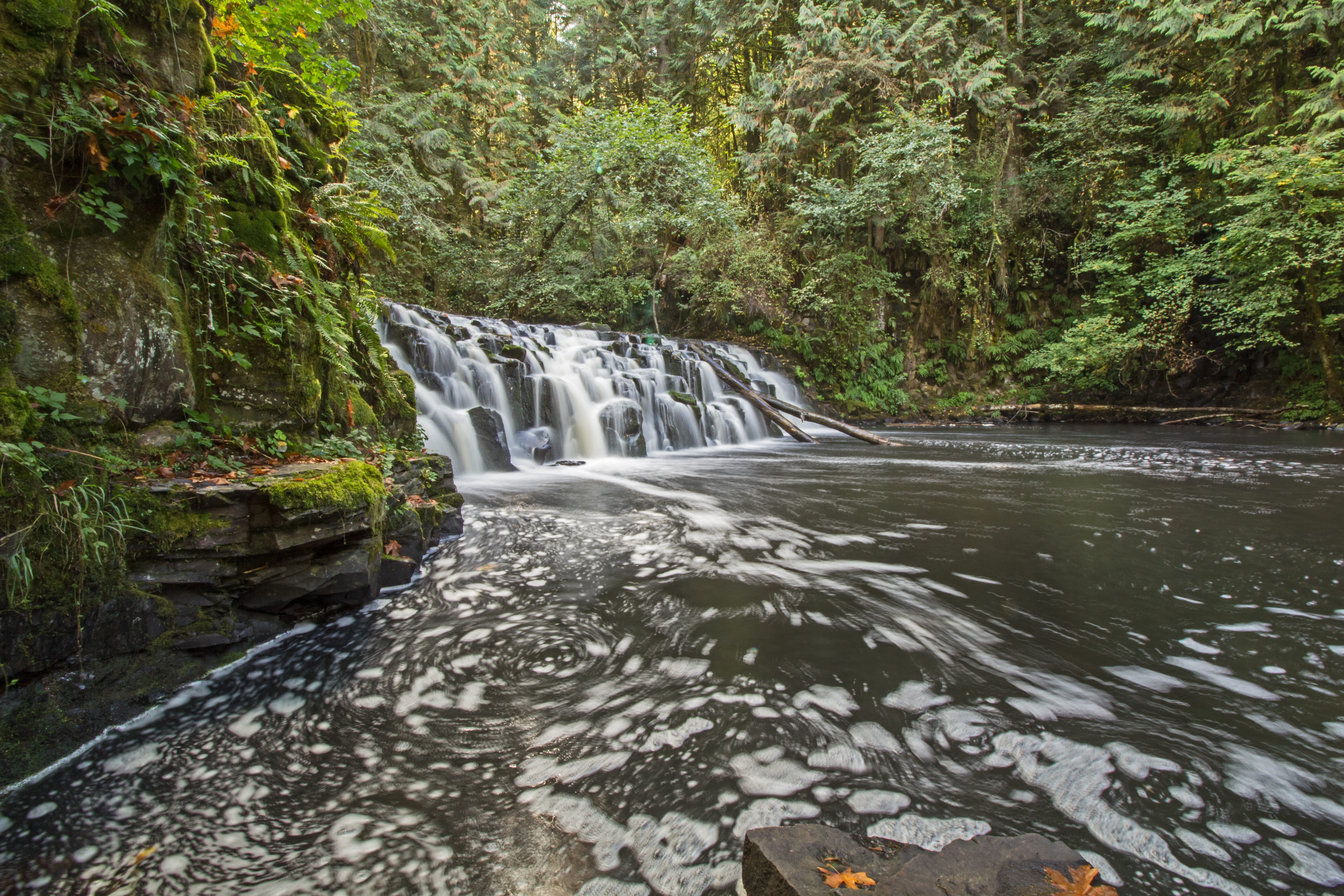
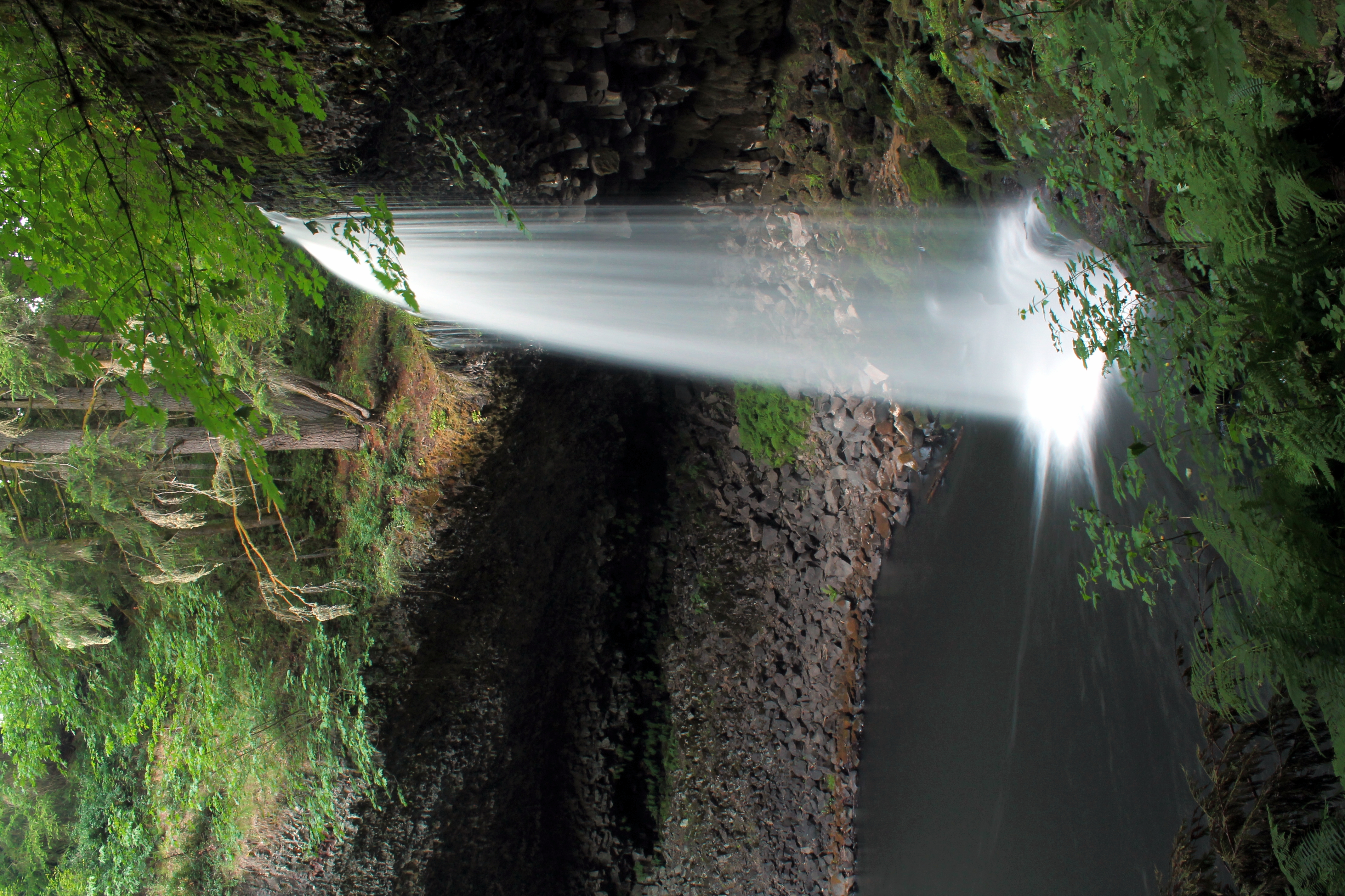
Beaver Falls
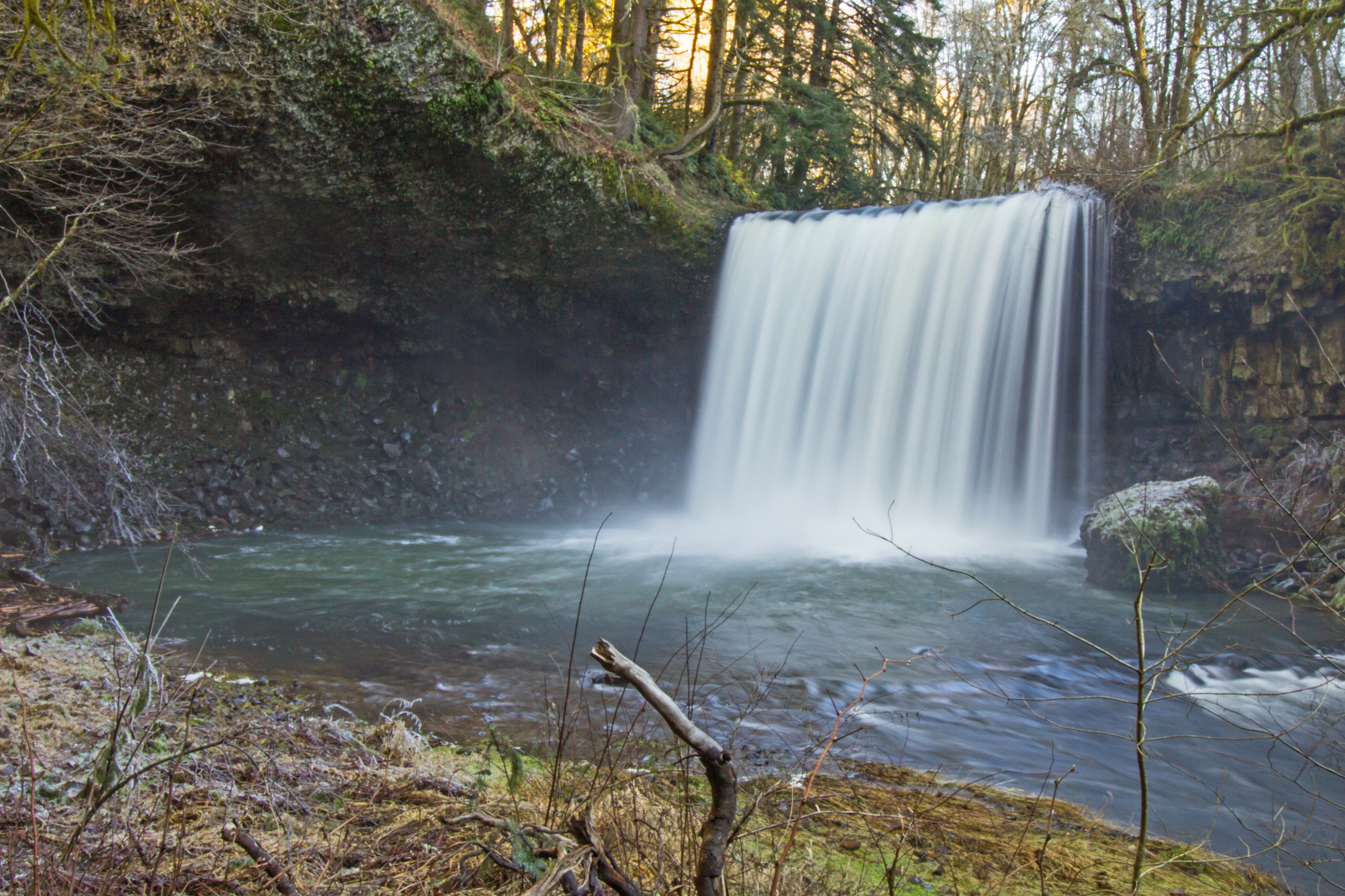
Little Beaver Creek Falls
....
Beaver Creek Falls
Watching the River Flow

Beaver Falls, OR

Oregon-2.jpg

Big Falls on Beaver Creek

Oregon-4.jpg
Green Ol' Oregon

Oregon-3.jpg

Colorado River-1.jpg
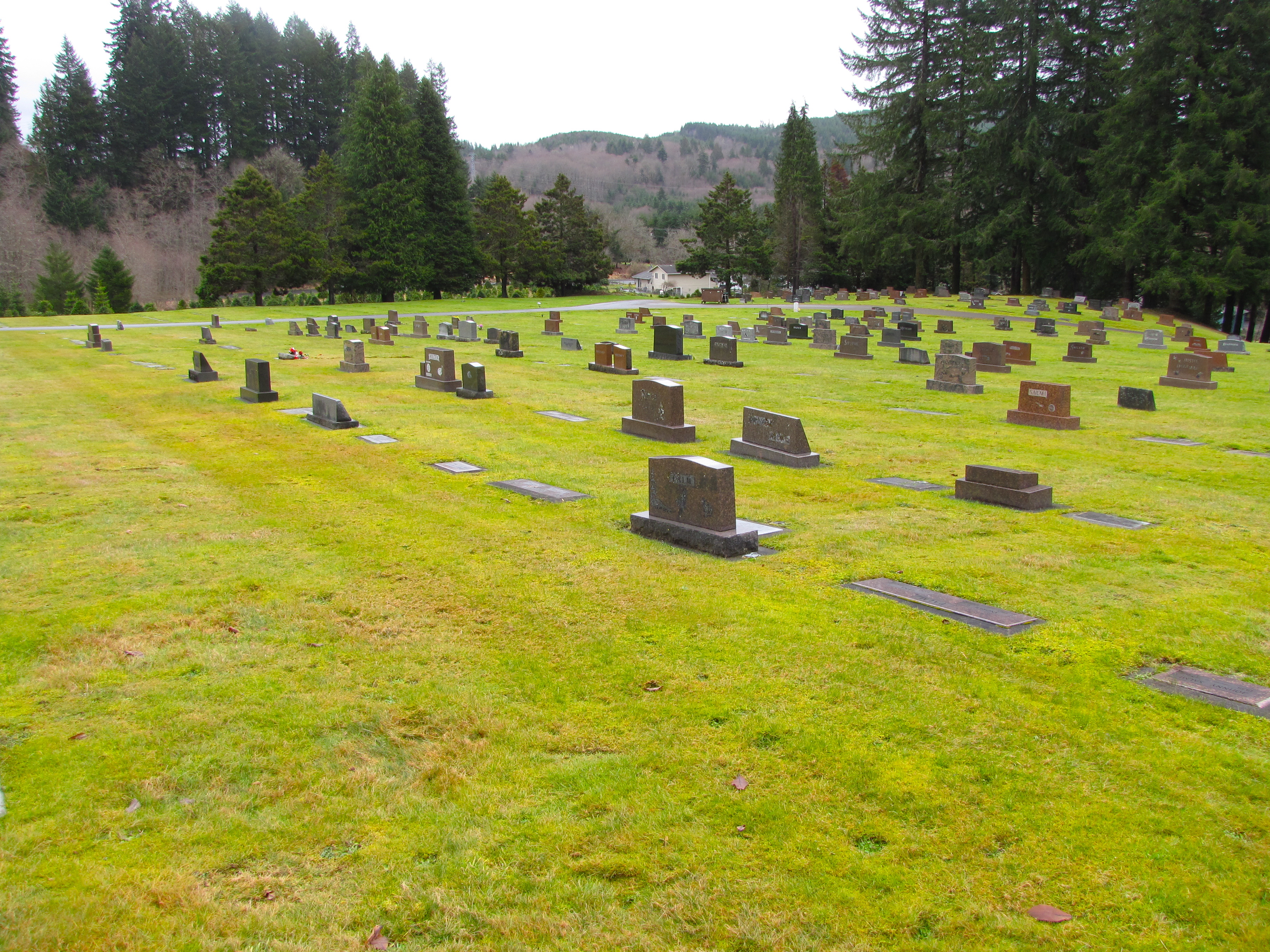
murray hill cemetery
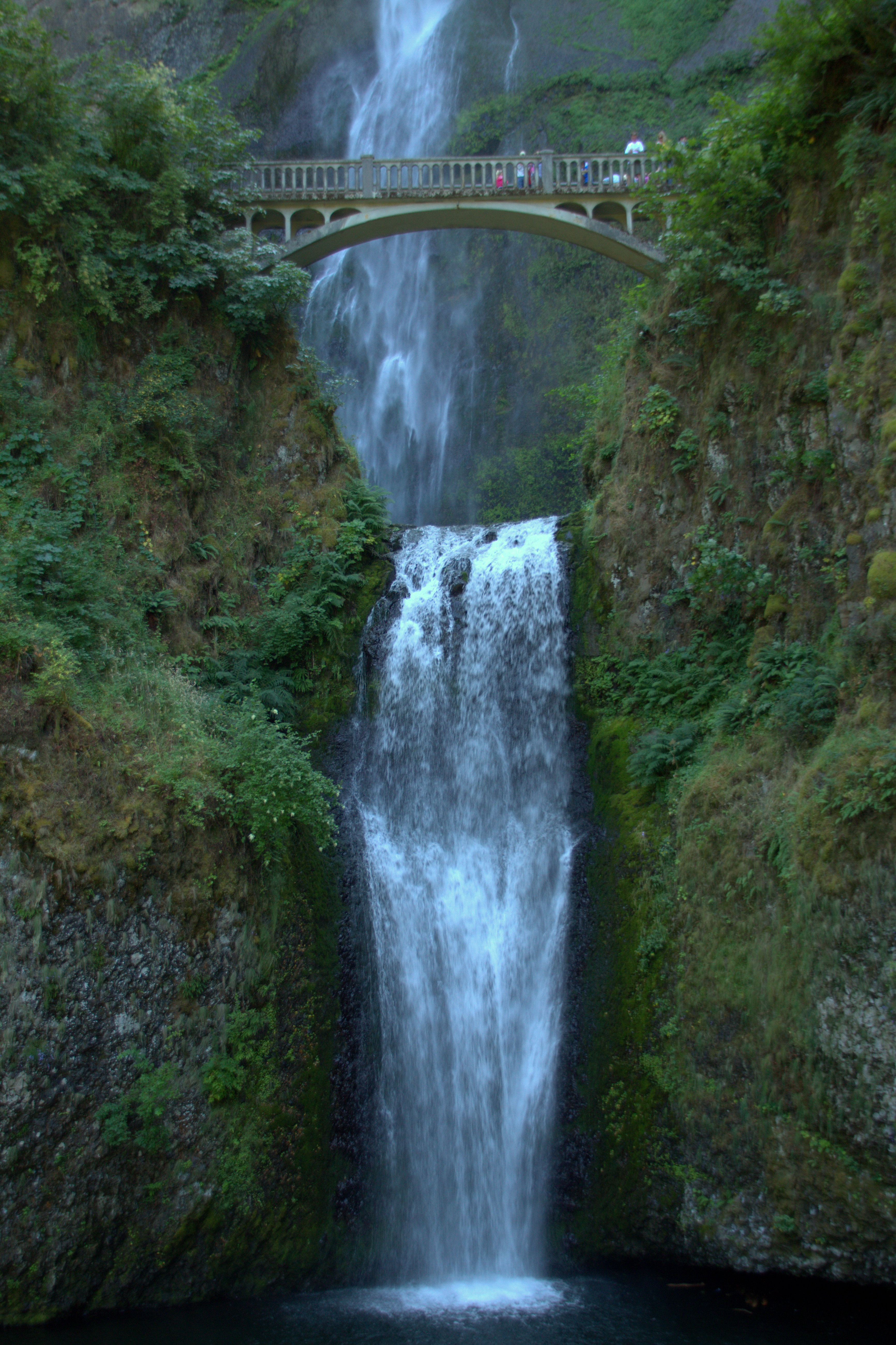
Multnomah Falls, Oregon
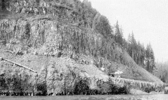
SR 4 construction 1928
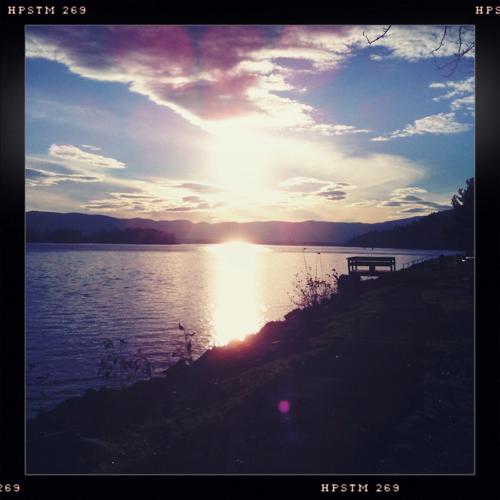
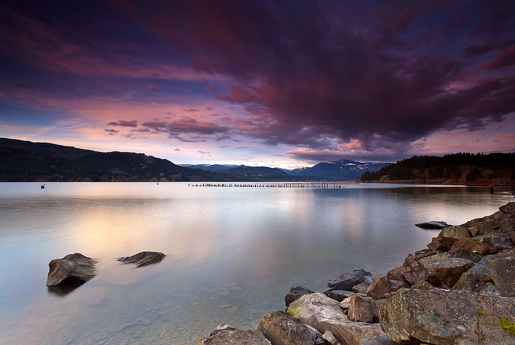
Columbia Sunset

2013-WA03-Cape Dissappointment83

20140901-0756-00013-Morning JourneyAnd2morePhotoM
Topographic Map of Erickson Dike Rd, Clatskanie, OR, USA
Find elevation by address:

Places near Erickson Dike Rd, Clatskanie, OR, USA:
15910 Elliot Rd
351 Sw 4th St
Clatskanie
625 Sw Tichenor St
720 Oak Point Rd
390 Spruce Creek Rd
231 Spruce Creek Rd
Cedar Hills Rd, Longview, WA, USA
279 Mill Creek Rd
Quincy
78045 Rutters Rd
20075 Ilmari Rd
80997 Kallunki Rd
230 Crow Butte Rd
100 Hodgson Rd
Ilmari Road
Slide Creek Road
Bunker Hill
590 Bunker Hill Rd
311 Hooper Rd
Recent Searches:
- Elevation of Corso Fratelli Cairoli, 35, Macerata MC, Italy
- Elevation of Tallevast Rd, Sarasota, FL, USA
- Elevation of 4th St E, Sonoma, CA, USA
- Elevation of Black Hollow Rd, Pennsdale, PA, USA
- Elevation of Oakland Ave, Williamsport, PA, USA
- Elevation of Pedrógão Grande, Portugal
- Elevation of Klee Dr, Martinsburg, WV, USA
- Elevation of Via Roma, Pieranica CR, Italy
- Elevation of Tavkvetili Mountain, Georgia
- Elevation of Hartfords Bluff Cir, Mt Pleasant, SC, USA