Elevation of Bunker Hill, WA, USA
Location: United States > Washington > Cowlitz County >
Longitude: -123.13873
Latitude: 46.2023325
Elevation: 141m / 463feet
Barometric Pressure: 100KPa
Elevation Map:
Satellite Map:
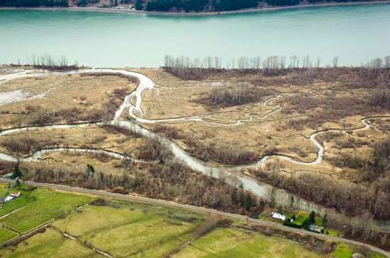
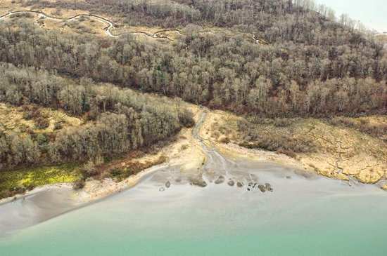
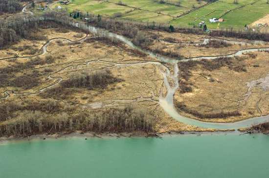
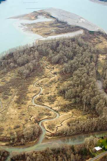
Related Photos:

21357.jpg
21248.jpg

Beaver Creek Roadside
21250.jpg
21262.jpg
21245.jpg
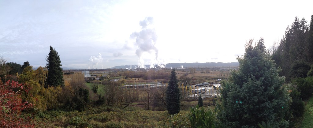
The view - use to be mint farms
21261.jpg

The View from the 9th
Topographic Map of Bunker Hill, WA, USA
Find elevation by address:

Places near Bunker Hill, WA, USA:
590 Bunker Hill Rd
1456 Germany Creek Rd
311 Hooper Rd
230 Crow Butte Rd
Slide Creek Road
80997 Kallunki Rd
7455 Willow Grove Rd
Ilmari Road
80408 Bodine Rd
Cedar Hills Rd, Longview, WA, USA
Stella Road
20075 Ilmari Rd
279 Mill Creek Rd
139 Hillside Ln
720 Oak Point Rd
390 Spruce Creek Rd
231 Spruce Creek Rd
Quincy
79935 Blackford Rd
765 Stella Rd
Recent Searches:
- Elevation of Corso Fratelli Cairoli, 35, Macerata MC, Italy
- Elevation of Tallevast Rd, Sarasota, FL, USA
- Elevation of 4th St E, Sonoma, CA, USA
- Elevation of Black Hollow Rd, Pennsdale, PA, USA
- Elevation of Oakland Ave, Williamsport, PA, USA
- Elevation of Pedrógão Grande, Portugal
- Elevation of Klee Dr, Martinsburg, WV, USA
- Elevation of Via Roma, Pieranica CR, Italy
- Elevation of Tavkvetili Mountain, Georgia
- Elevation of Hartfords Bluff Cir, Mt Pleasant, SC, USA