Elevation of Emmaville, MN, USA
Location: United States > Minnesota > Hubbard County > Park Rapids >
Longitude: -94.981415
Latitude: 47.065453
Elevation: 472m / 1549feet
Barometric Pressure: 96KPa
Elevation Map:
Satellite Map:
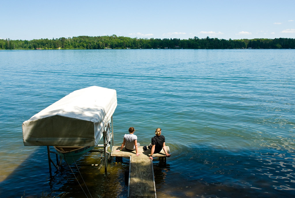
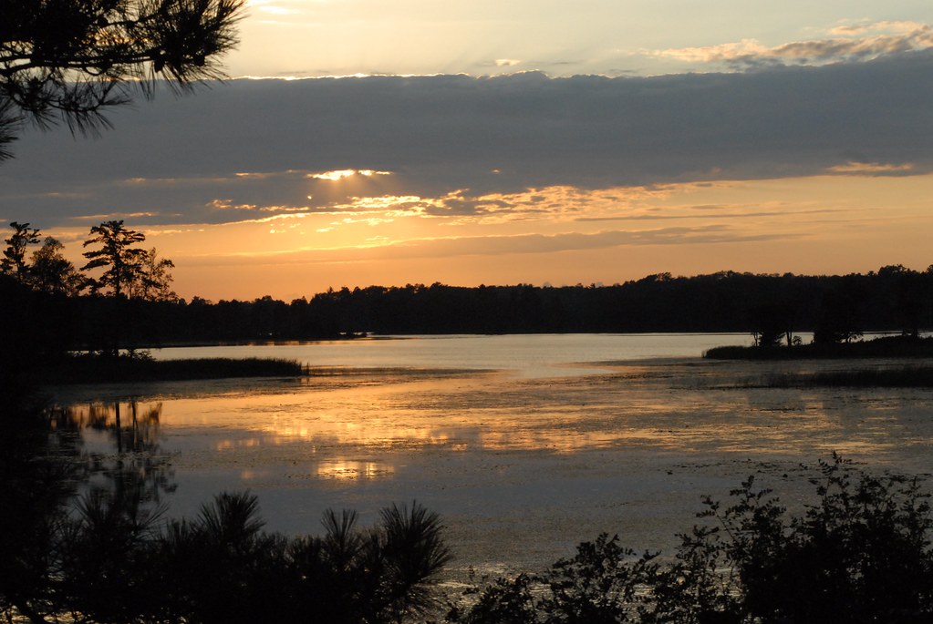
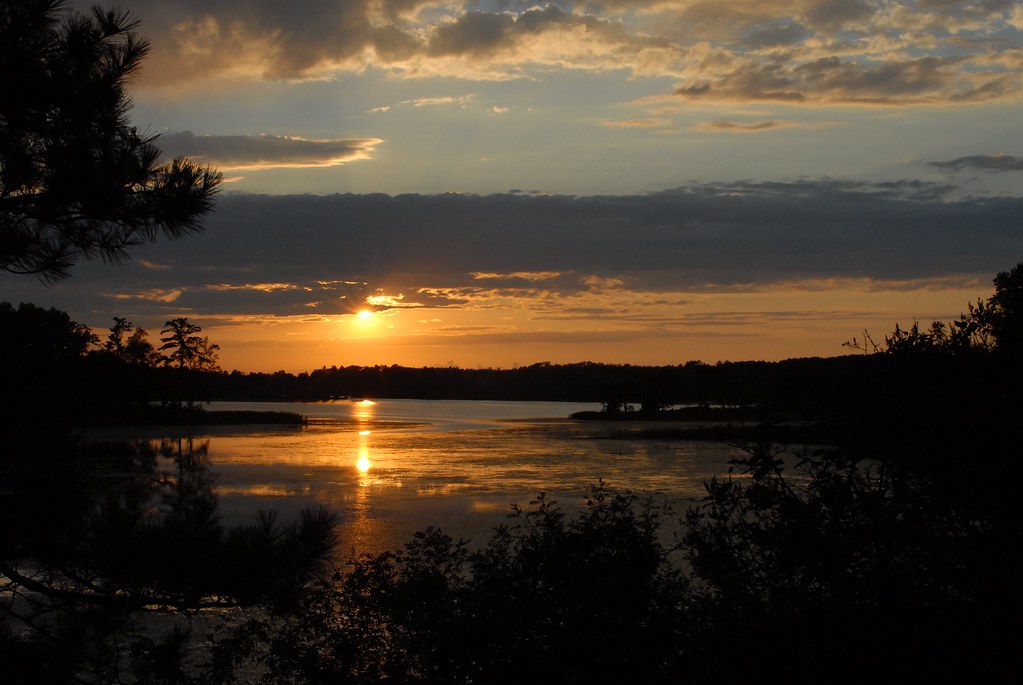
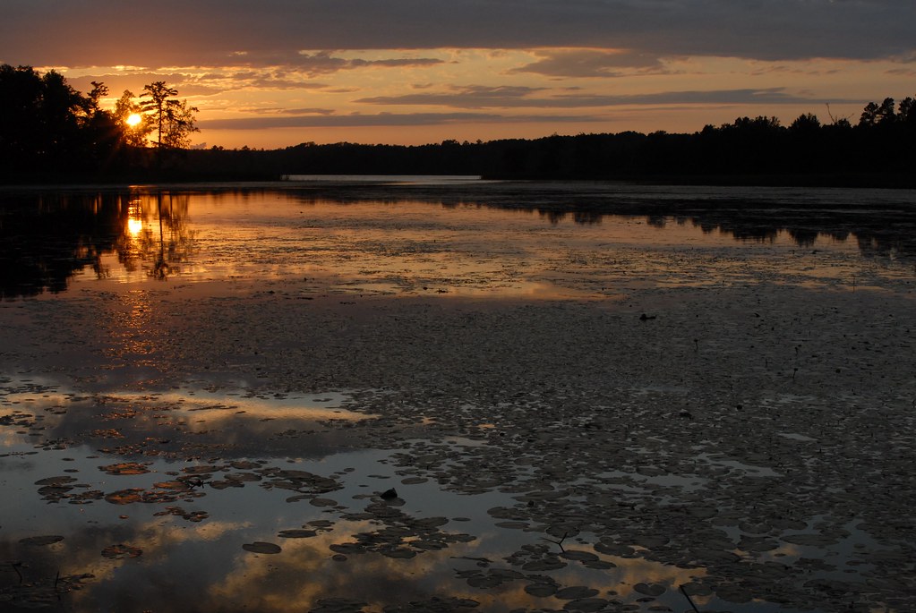
Related Photos:

Deer Town, Minnesota, 19 Sept 2004

Island Cabin

Calm Minnesota Dock

Steven on the Water

Patrick and Rebecca
Andy and Rebecca

Grandpa and the Mowers

Sunset over the Island

Through the lake

Fishing on the Little Sand

Barn North of Park Rapids

Black and White Warbler 2011-05-27_090301

Nevis, MN sunset

Deer Town, 4 August 2003

Emma's first duck hunt

Mud Creek

Northern Minnesota Vacation - 182

Northern Minnesota Vacation - 162

Northern Minnesota Vacation - 185
Northern Minnesota Vacation - 165

Northern Minnesota Vacation - 174
Northern Minnesota Vacation - 173
Northern Minnesota Vacation - 184

Northern Minnesota Vacation - 029

Northern Minnesota Vacation - 193

Northern Minnesota Vacation - 194

Northern Minnesota Vacation - 043
Northern Minnesota Vacation - 042
Topographic Map of Emmaville, MN, USA
Find elevation by address:

Places near Emmaville, MN, USA:
Hubbard County
Park Rapids
17 Co Rd 18, Nevis, MN, USA
Hendrickson Township
19192 Echo Ridge Dr
14402 Chippewa Loop
Otter Dr, Laporte, MN, USA
Hubbard Township
Straight River Township
Hinds Lake
Lakeport Township
White Oak Township
Lake Itasca
South Clearwater
Osage Township
Lake Itasca
th St, Akeley, MN, USA
Mississippi Rd, Laporte, MN, USA
Osage
MN-34, Osage, MN, USA
Recent Searches:
- Elevation of Congressional Dr, Stevensville, MD, USA
- Elevation of Bellview Rd, McLean, VA, USA
- Elevation of Stage Island Rd, Chatham, MA, USA
- Elevation of Shibuya Scramble Crossing, 21 Udagawacho, Shibuya City, Tokyo -, Japan
- Elevation of Jadagoniai, Kaunas District Municipality, Lithuania
- Elevation of Pagonija rock, Kranto 7-oji g. 8"N, Kaunas, Lithuania
- Elevation of Co Rd 87, Jamestown, CO, USA
- Elevation of Tenjo, Cundinamarca, Colombia
- Elevation of Côte-des-Neiges, Montreal, QC H4A 3J6, Canada
- Elevation of Bobcat Dr, Helena, MT, USA