Elevation of Elsen Tasarkhai Sand Dune, Km. from Harhorin, Tariat, Mongolia
Location: Mongolia > Arkhangai > Tariat >
Longitude: 99.535828
Latitude: 48.075569
Elevation: 2065m / 6775feet
Barometric Pressure: 79KPa
Elevation Map:
Satellite Map:
Related Photos:

MNGL-3933-20110804.jpg
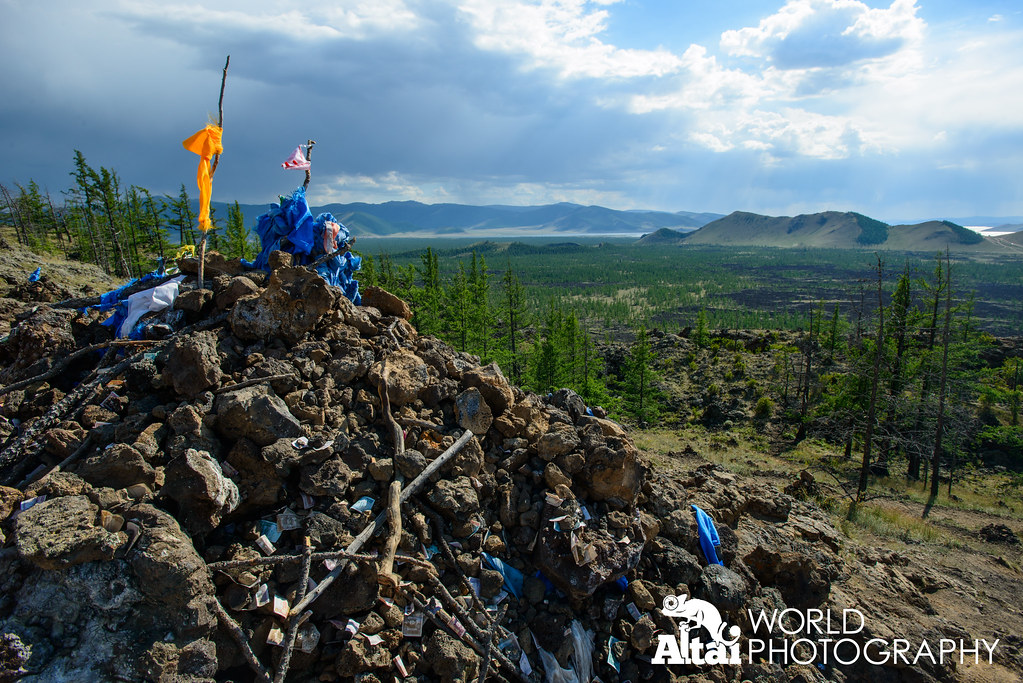
Ovoo at the Rim of Khorgo Uul Volcano

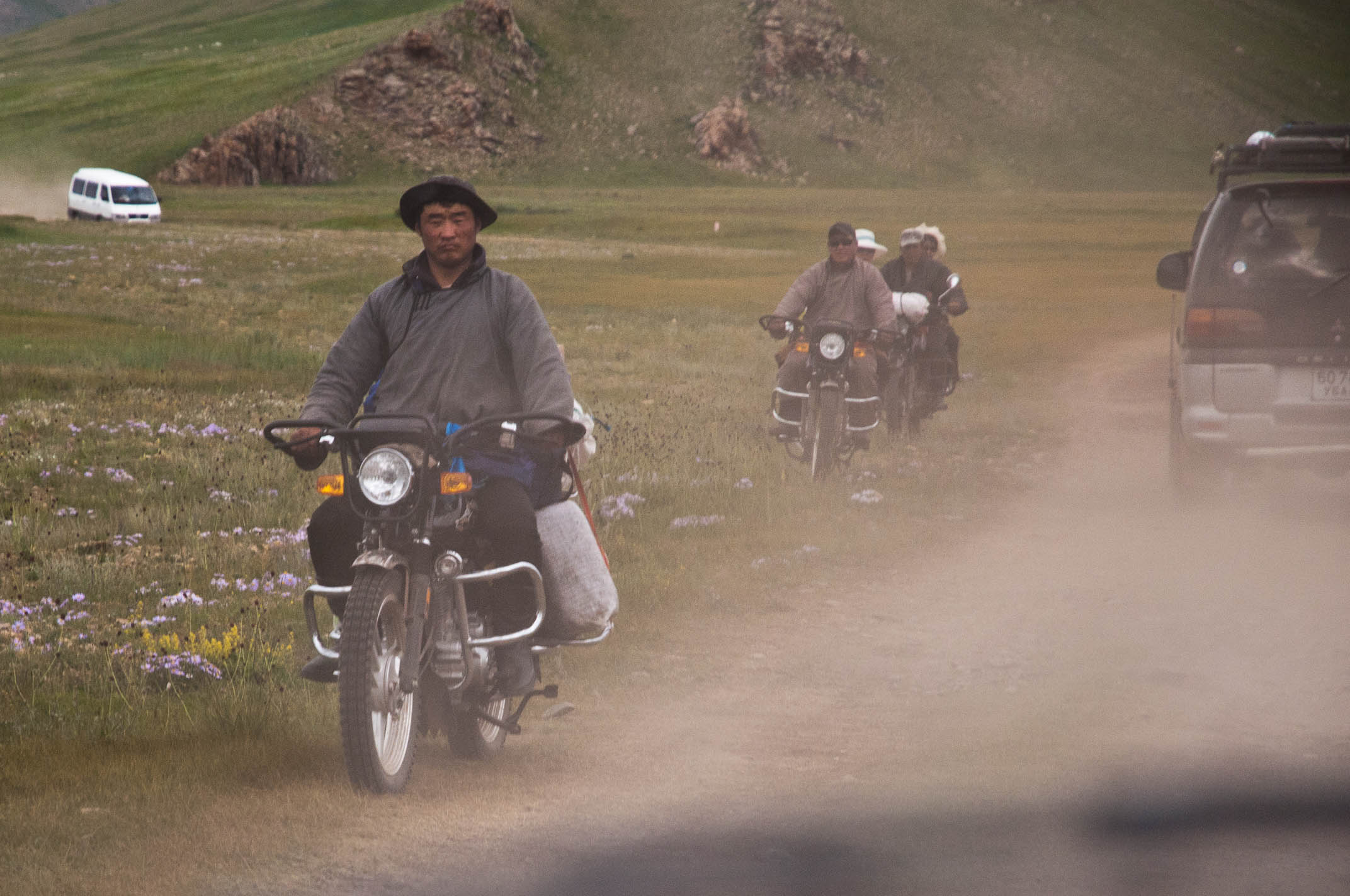
MNGL-3932-20110804.jpg
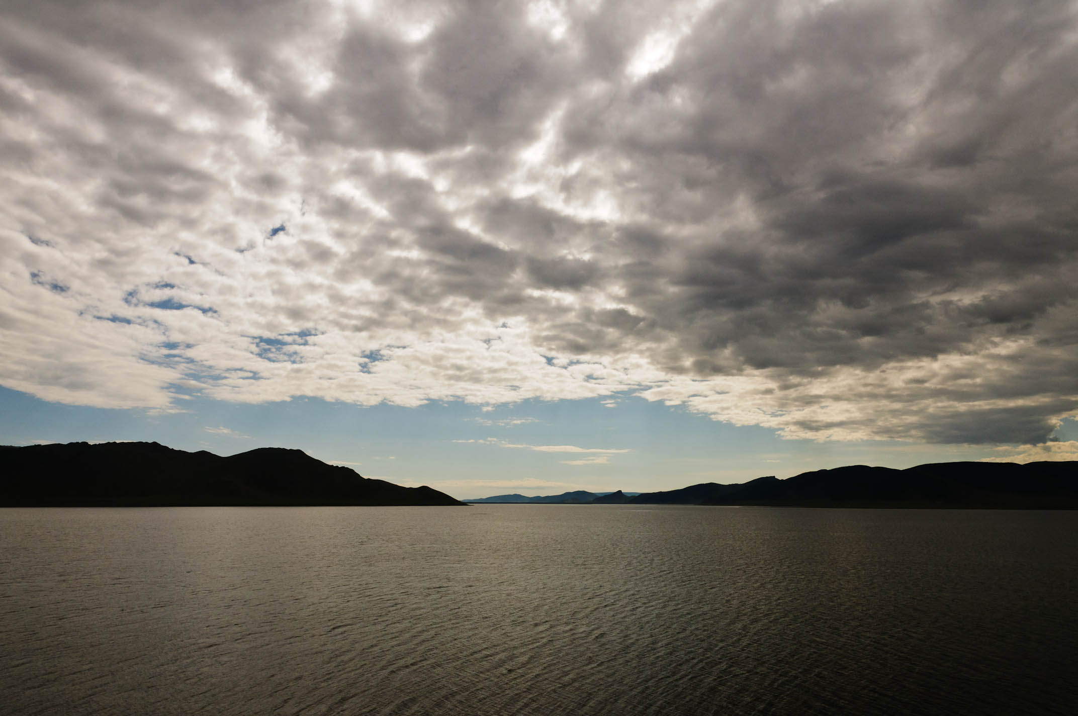
MNGL-3931-20110804.jpg
MNGL-3924-20110804.jpg
Topographic Map of Elsen Tasarkhai Sand Dune, Km. from Harhorin, Tariat, Mongolia
Find elevation by address:

Places near Elsen Tasarkhai Sand Dune, Km. from Harhorin, Tariat, Mongolia:
Recent Searches:
- Elevation of Panther Dr, Maggie Valley, NC, USA
- Elevation of Jais St - Wadi Shehah - Ras al Khaimah - United Arab Emirates
- Elevation of Shawnee Avenue, Shawnee Ave, Easton, PA, USA
- Elevation of Scenic Shore Dr, Kingwood Area, TX, USA
- Elevation of W Prive Cir, Delray Beach, FL, USA
- Elevation of S Layton Cir W, Layton, UT, USA
- Elevation of F36W+3M, Mussoorie, Uttarakhand, India
- Elevation of Fairland Ave, Fairhope, AL, USA
- Elevation of Sunset Dr, Richmond, VA, USA
- Elevation of Grodna District, Hrodna Region, Belarus