Elevation map of Tariat, Mongolia
Location: Mongolia > Arkhangai >
Longitude: 99.9141711
Latitude: 48.2109367
Elevation: 2644m / 8675feet
Barometric Pressure: 73KPa
Elevation Map:
Satellite Map:
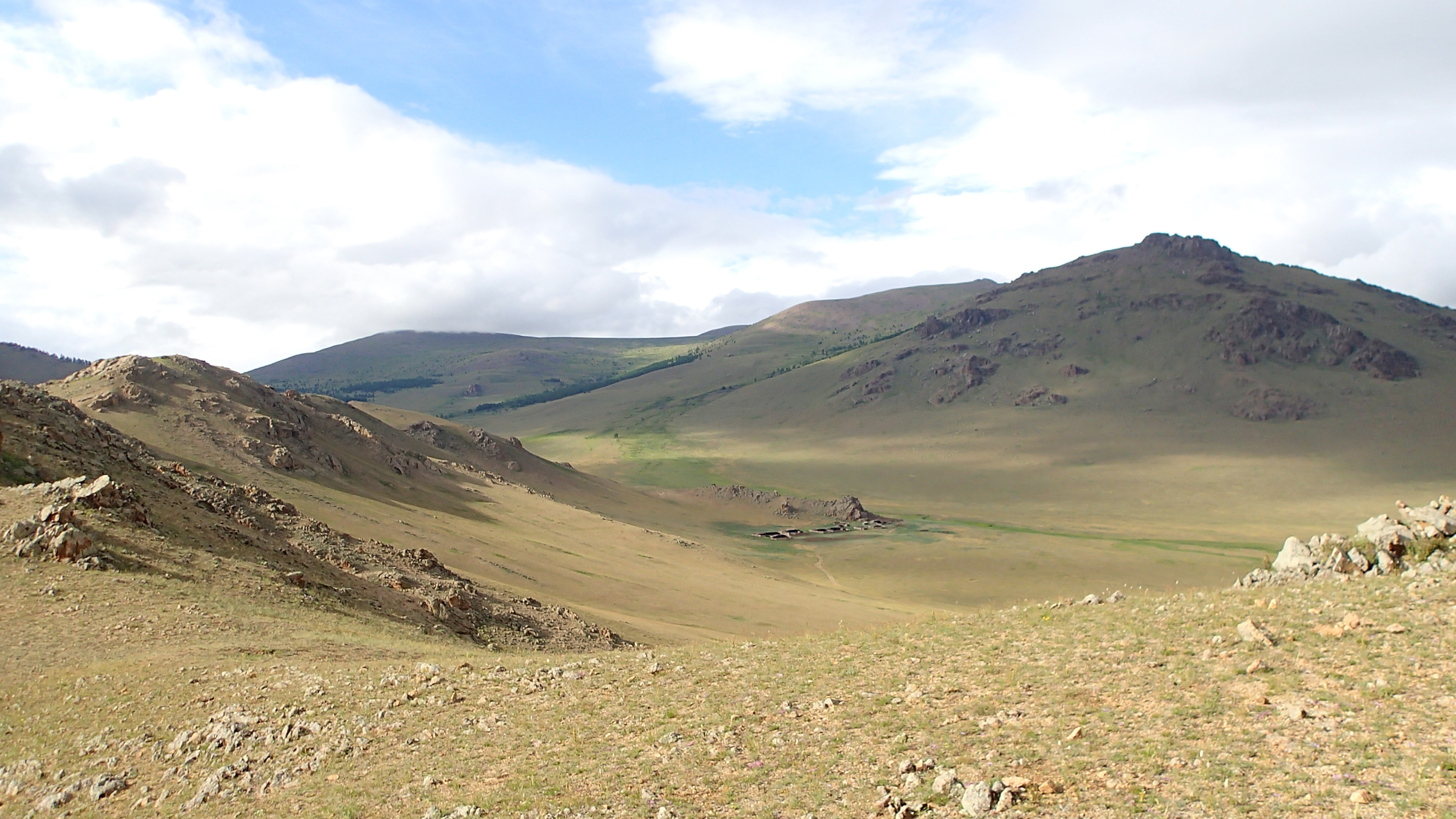
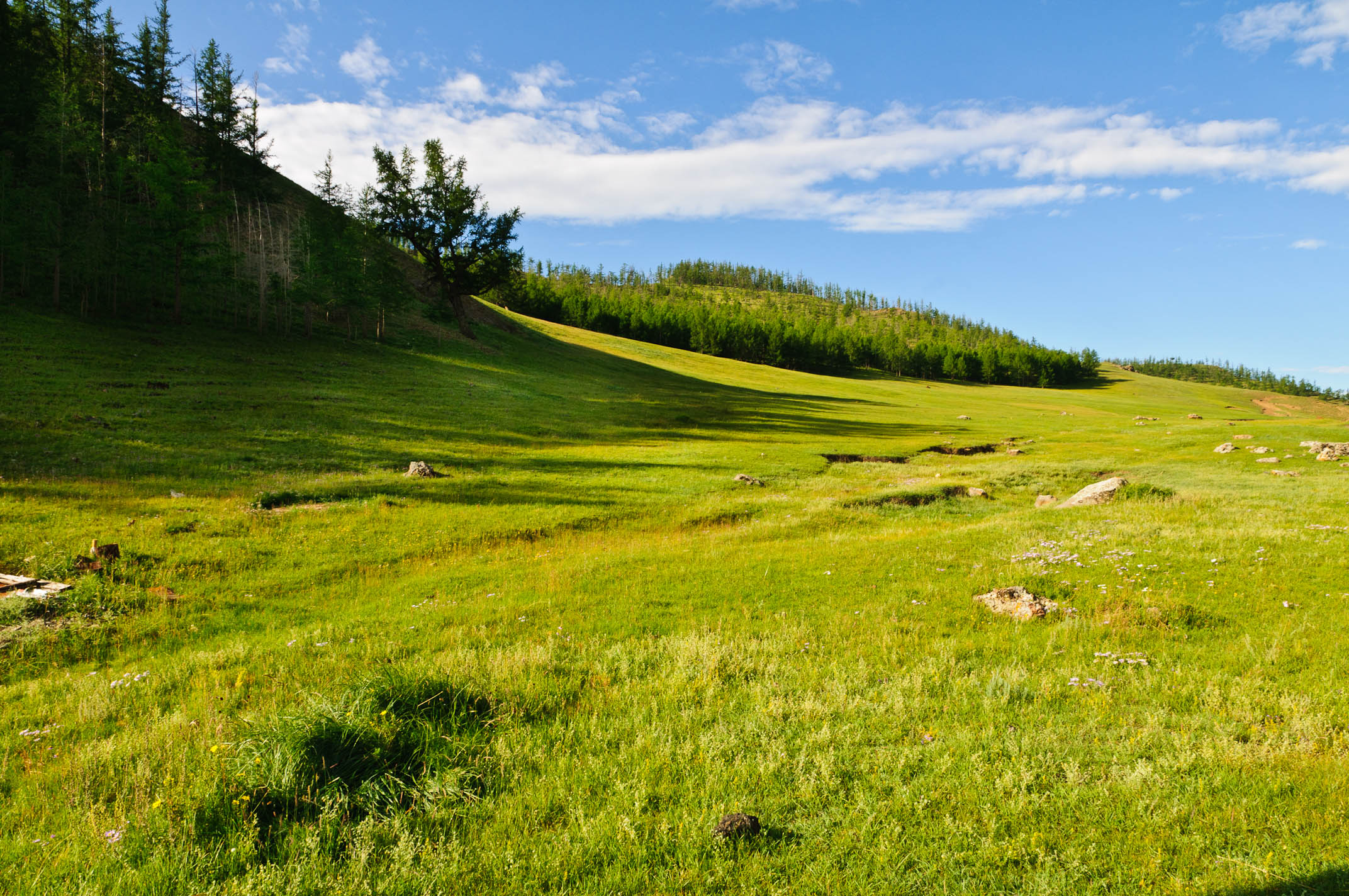
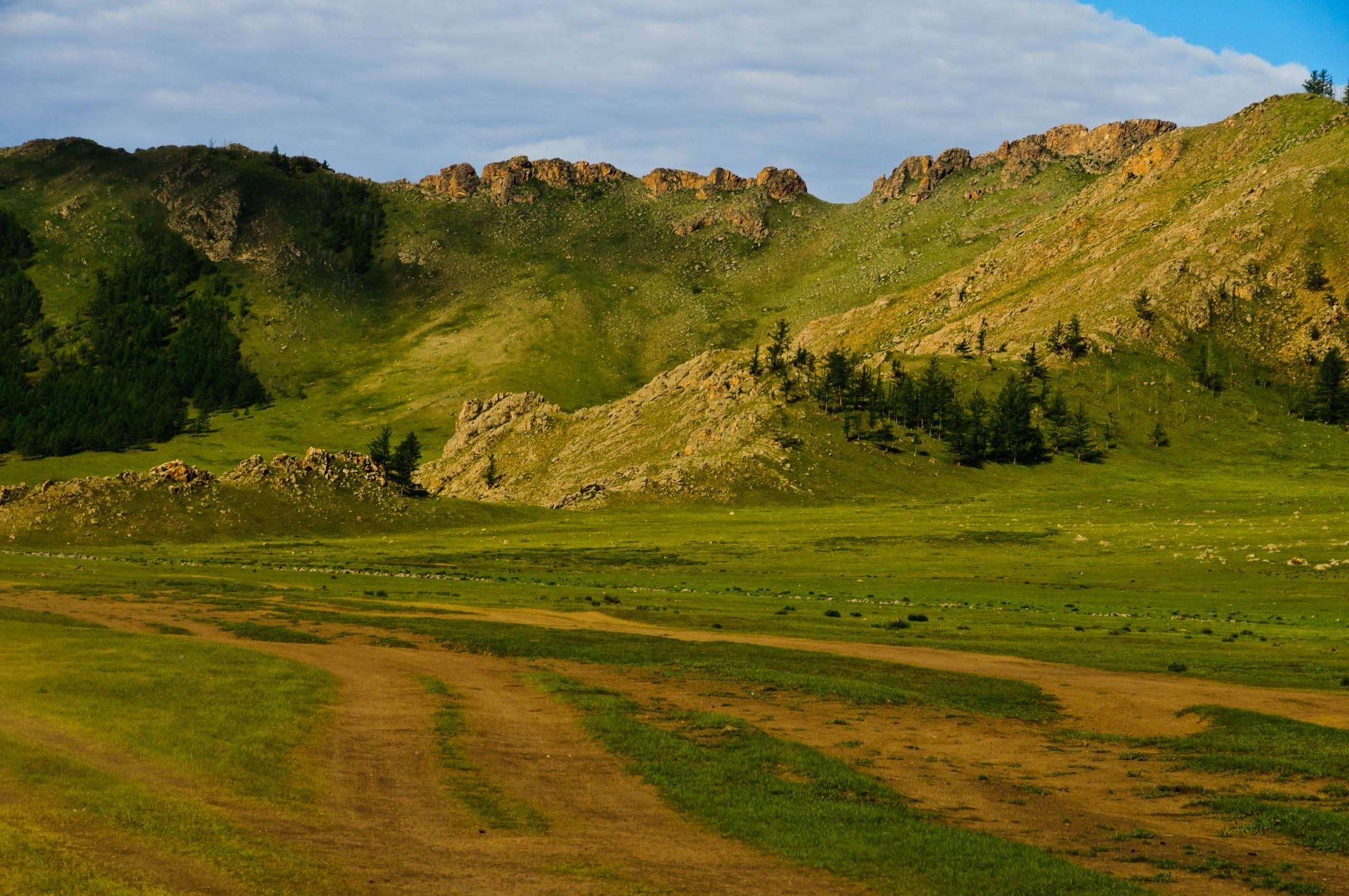
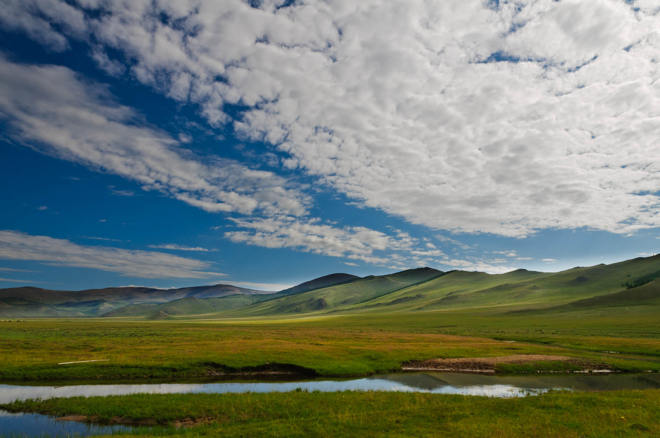
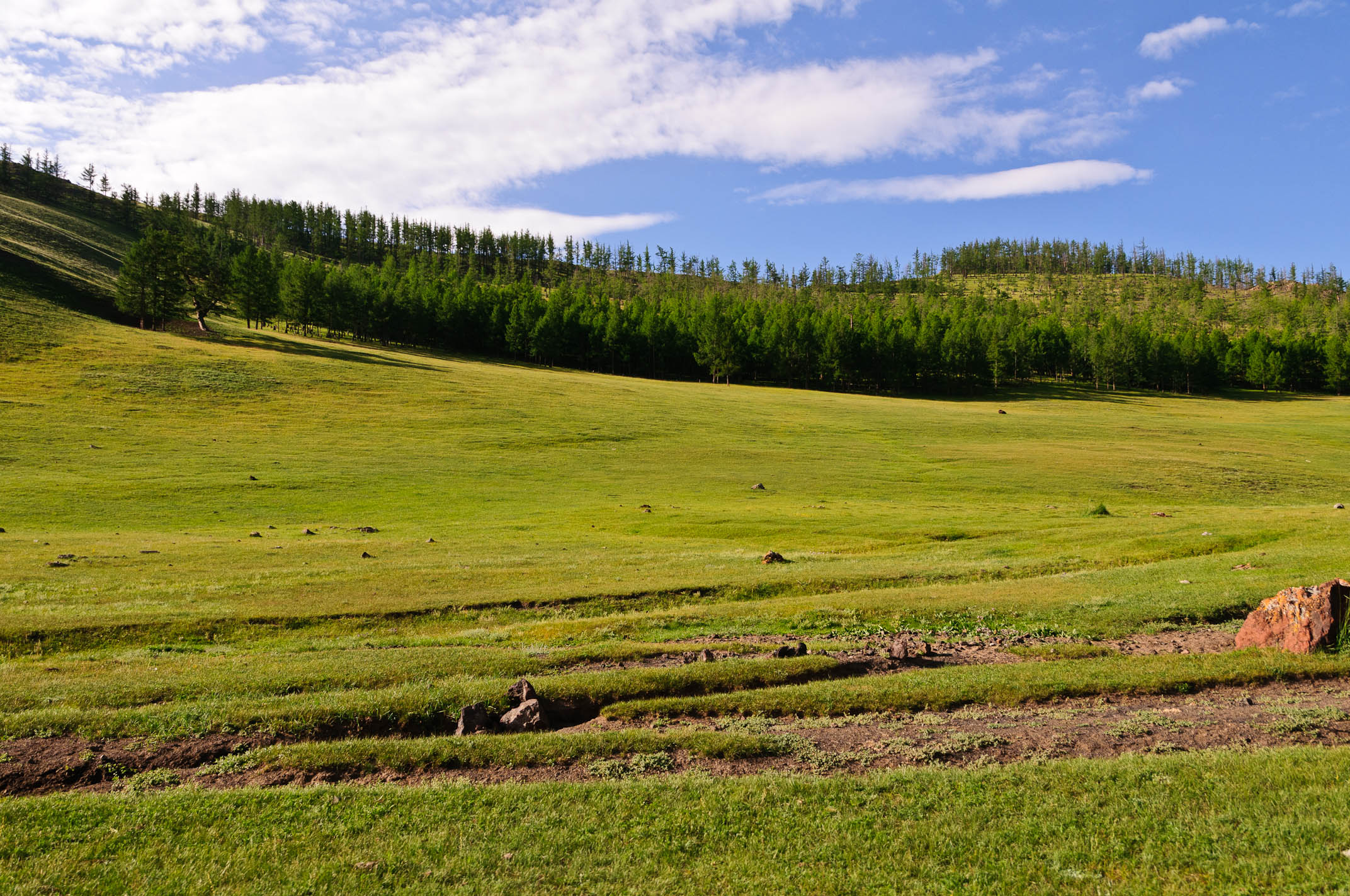
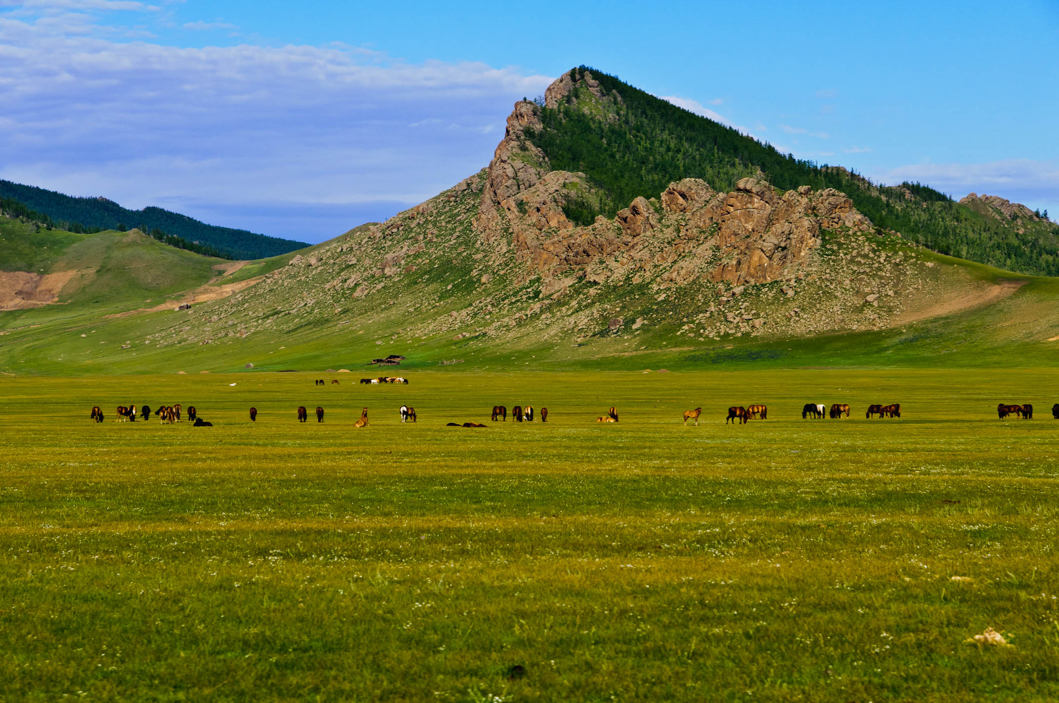
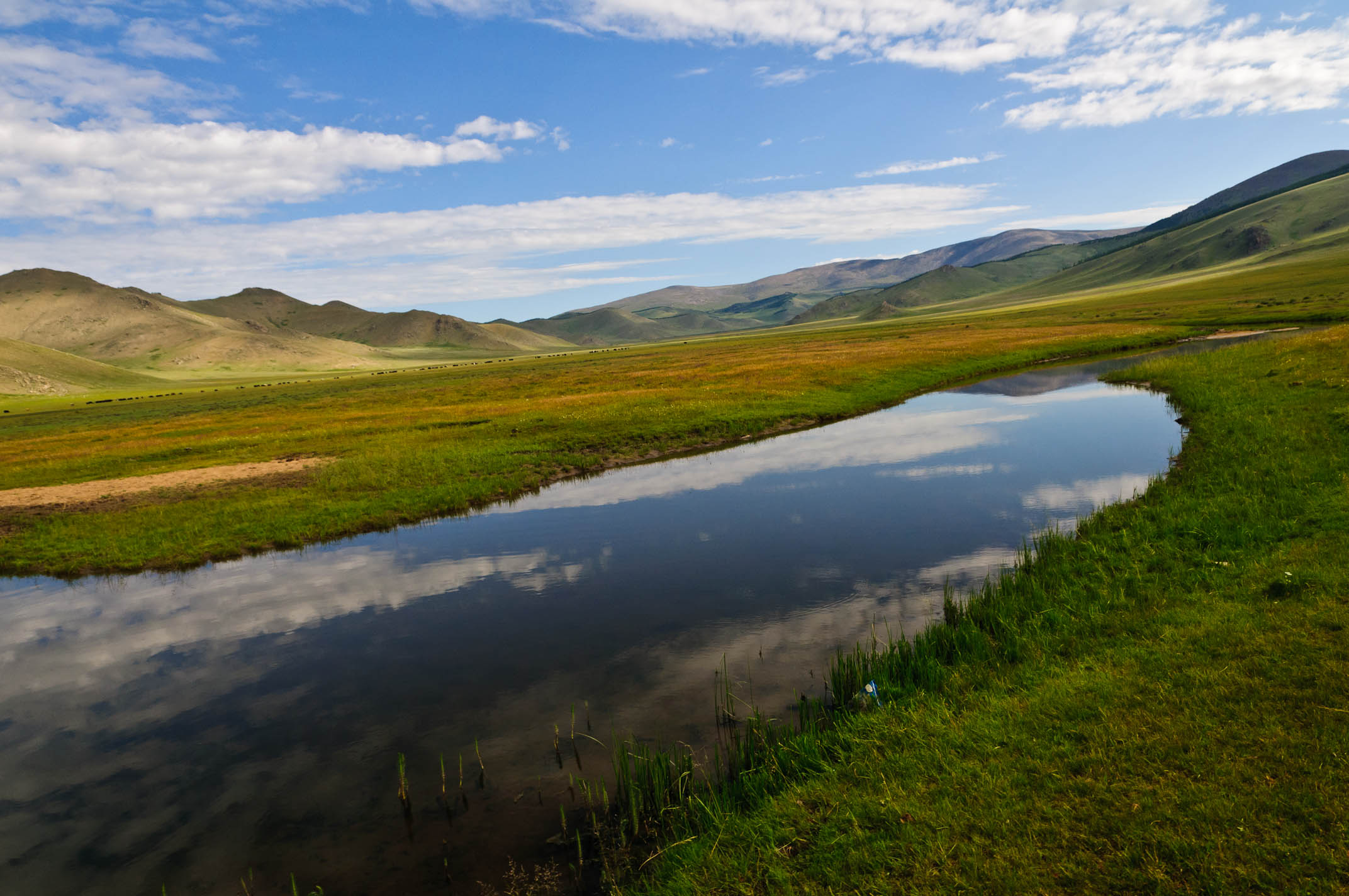
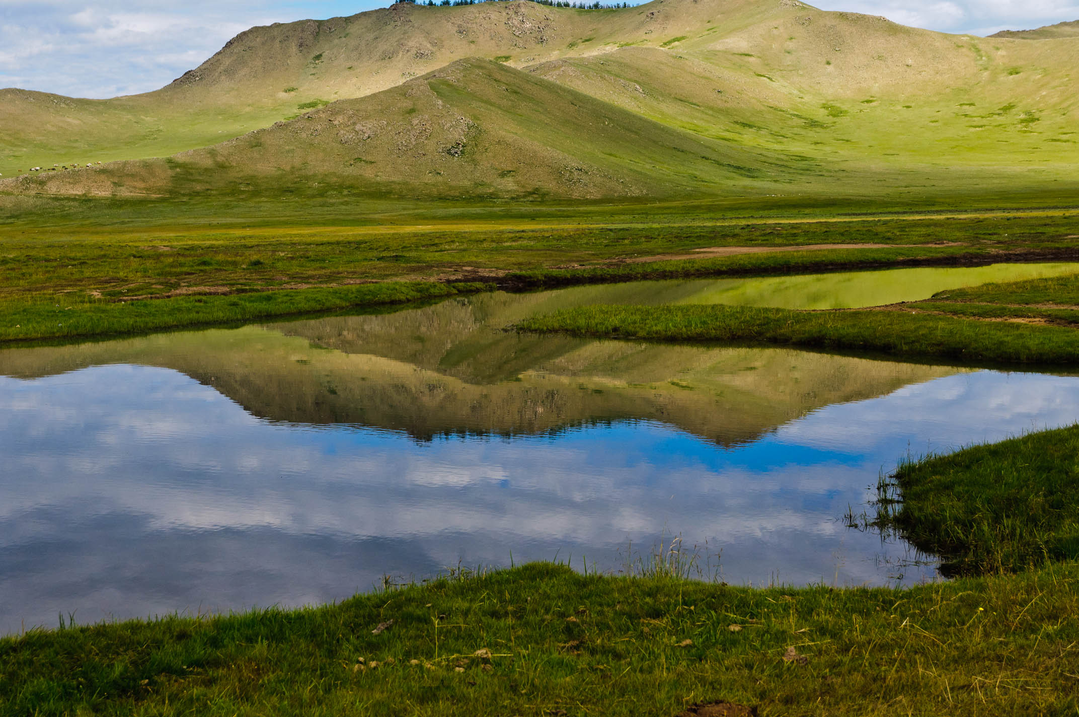
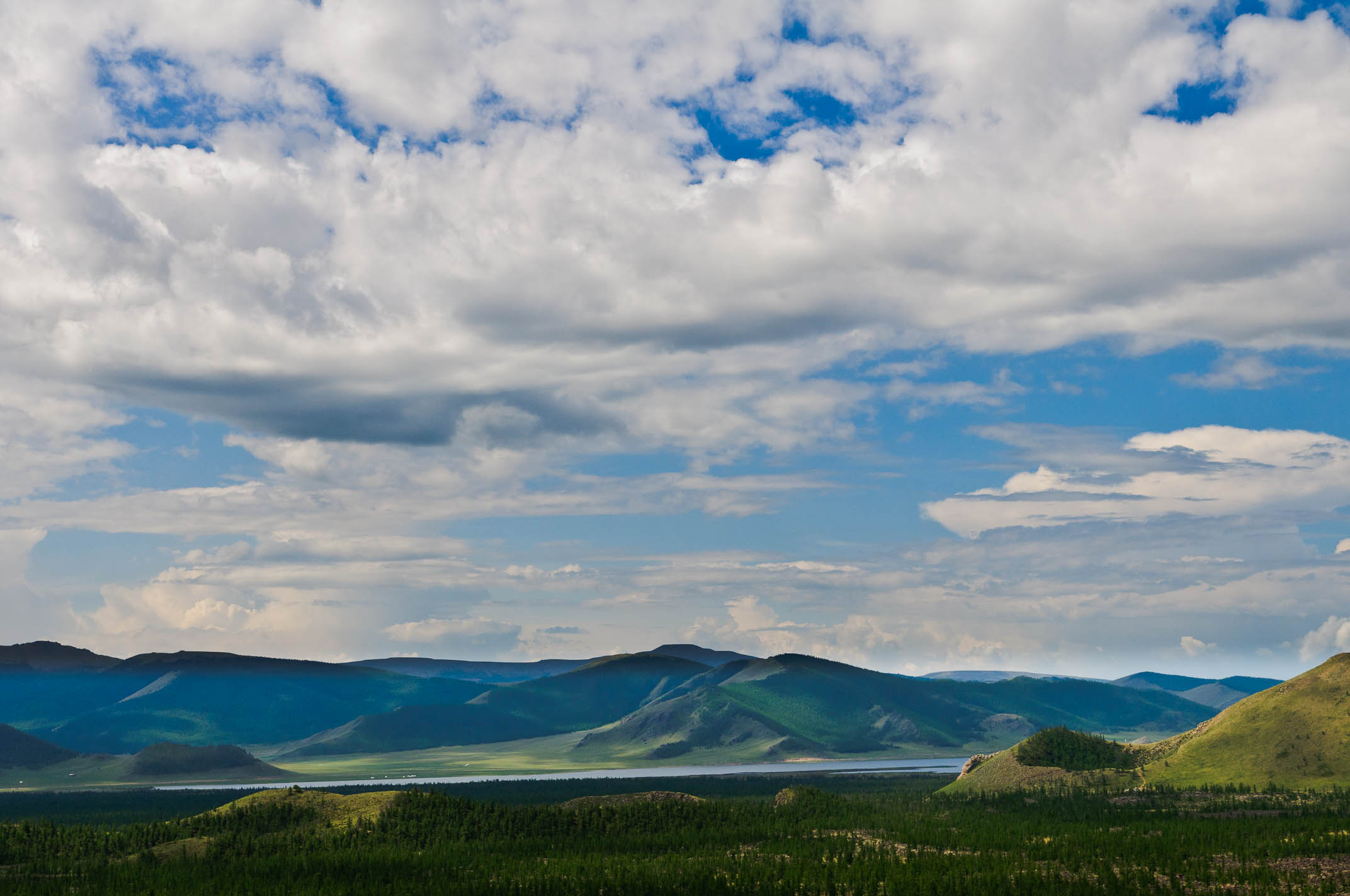
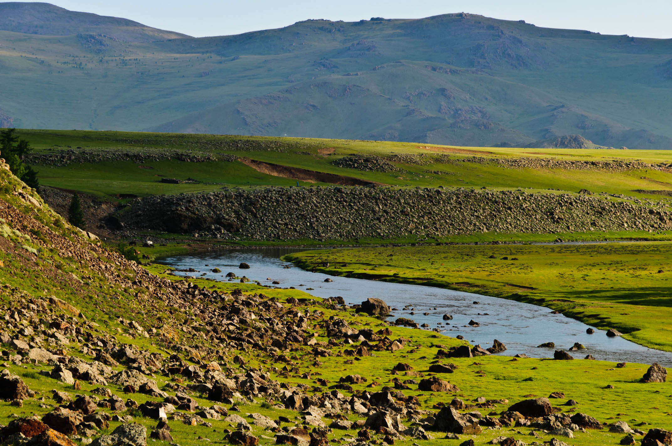
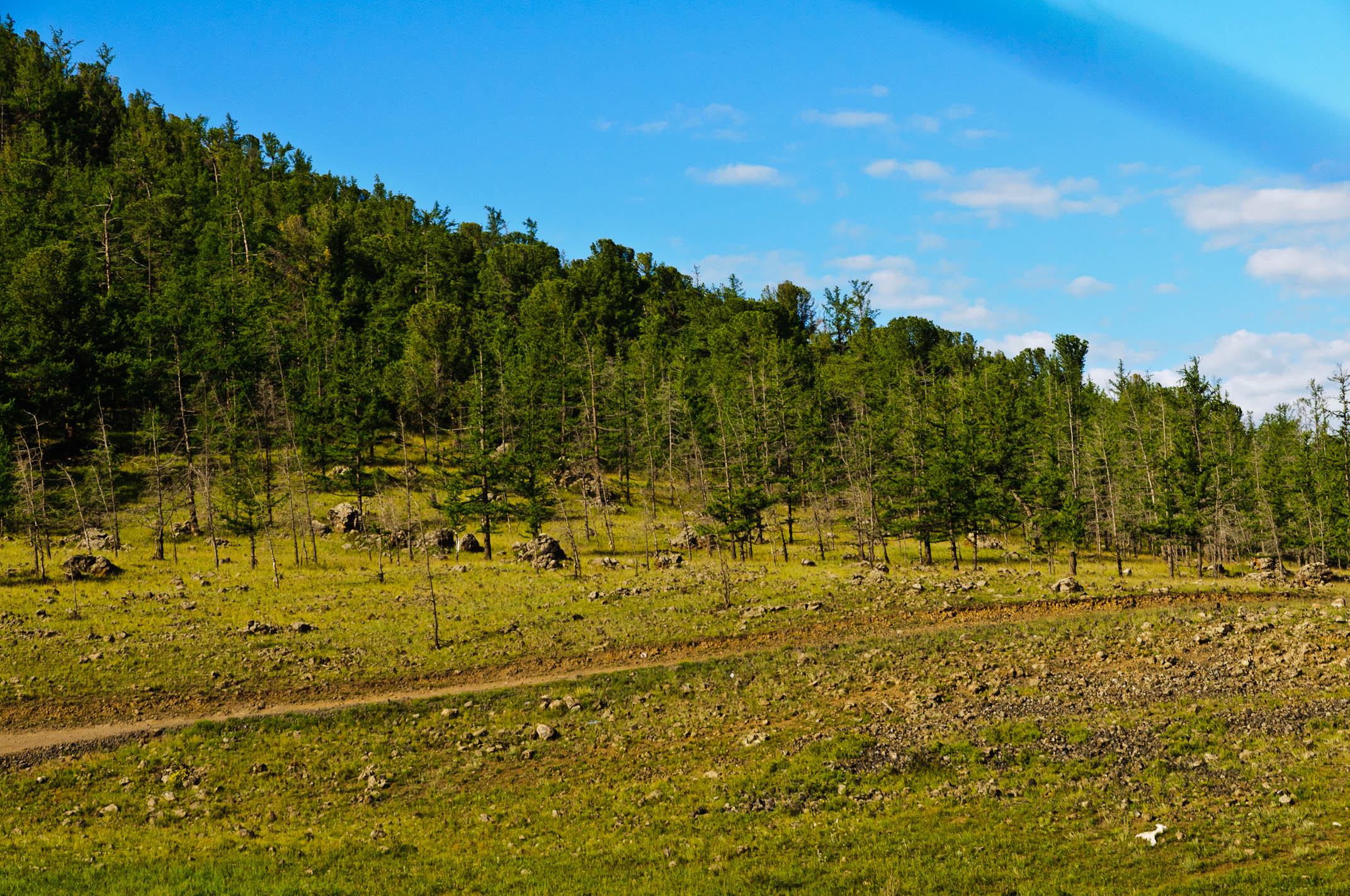
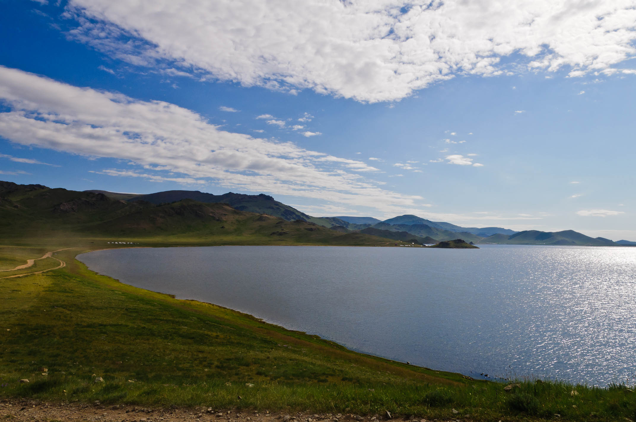
Related Photos:
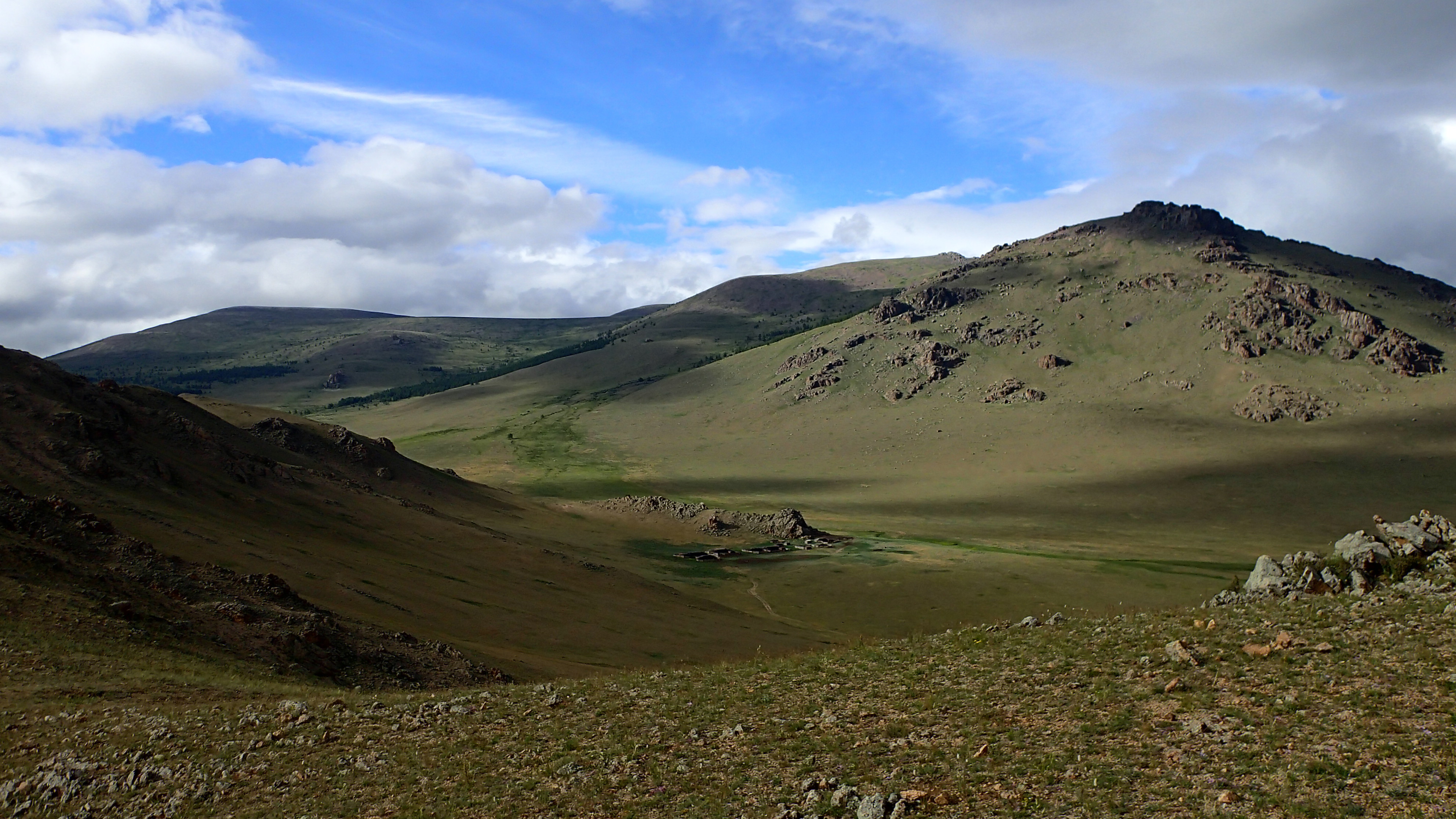
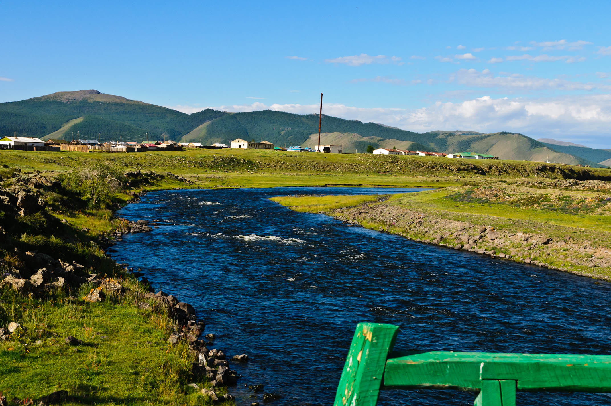
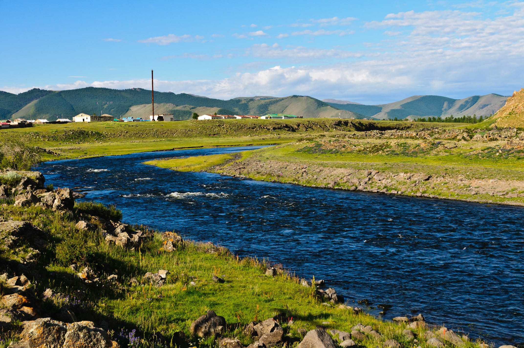
Panoramic View Tsagaan
Panoramic View Tsagaan
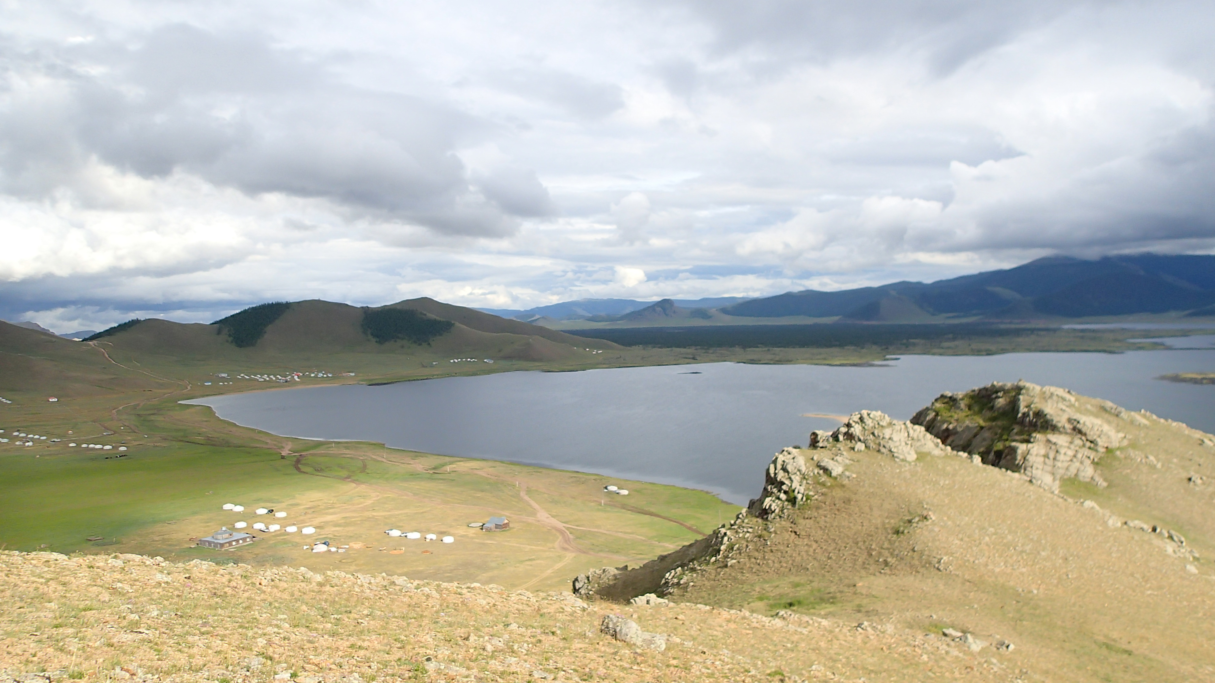
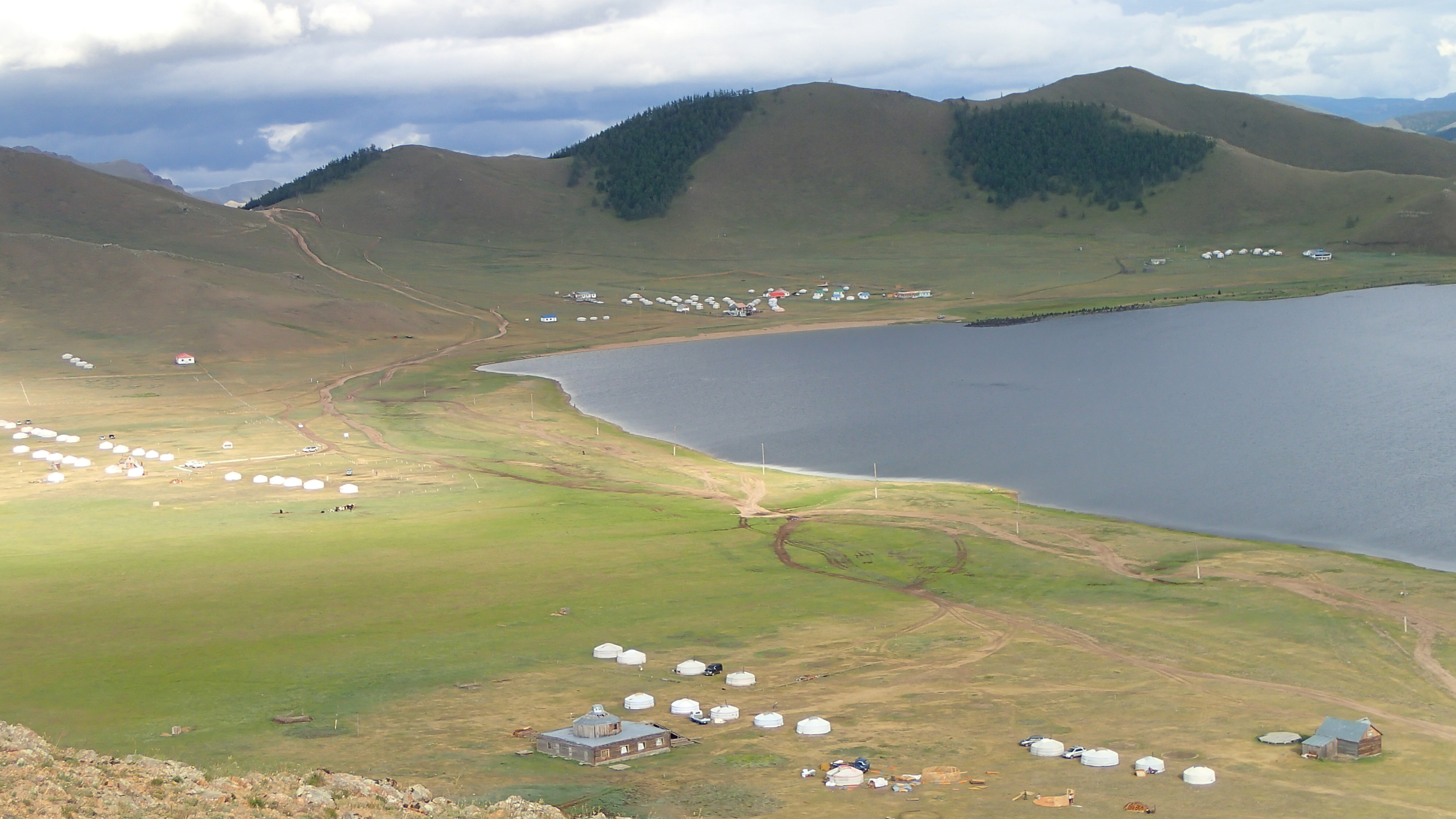
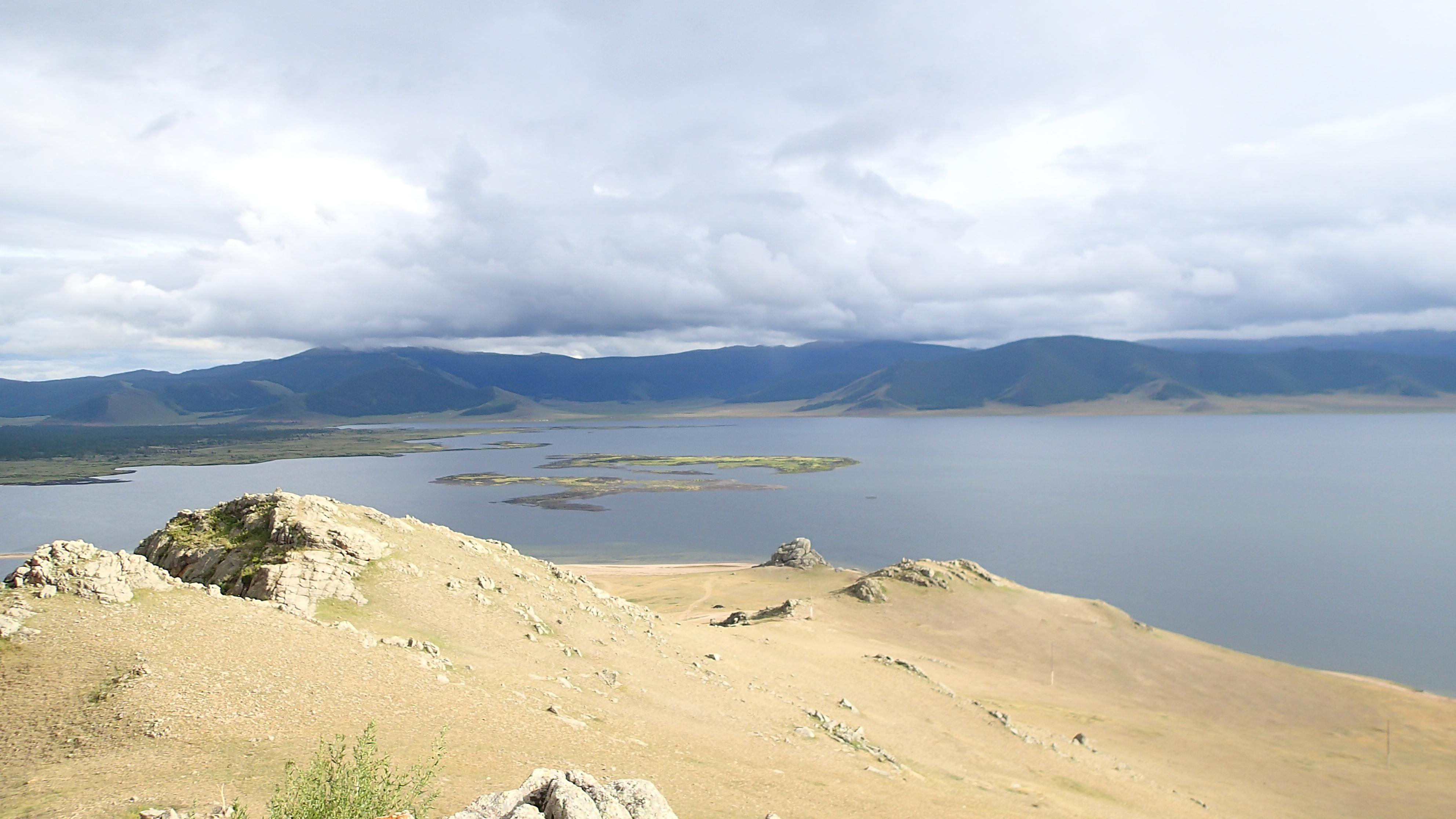
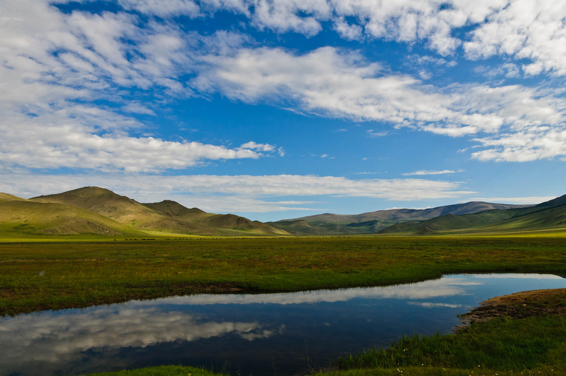
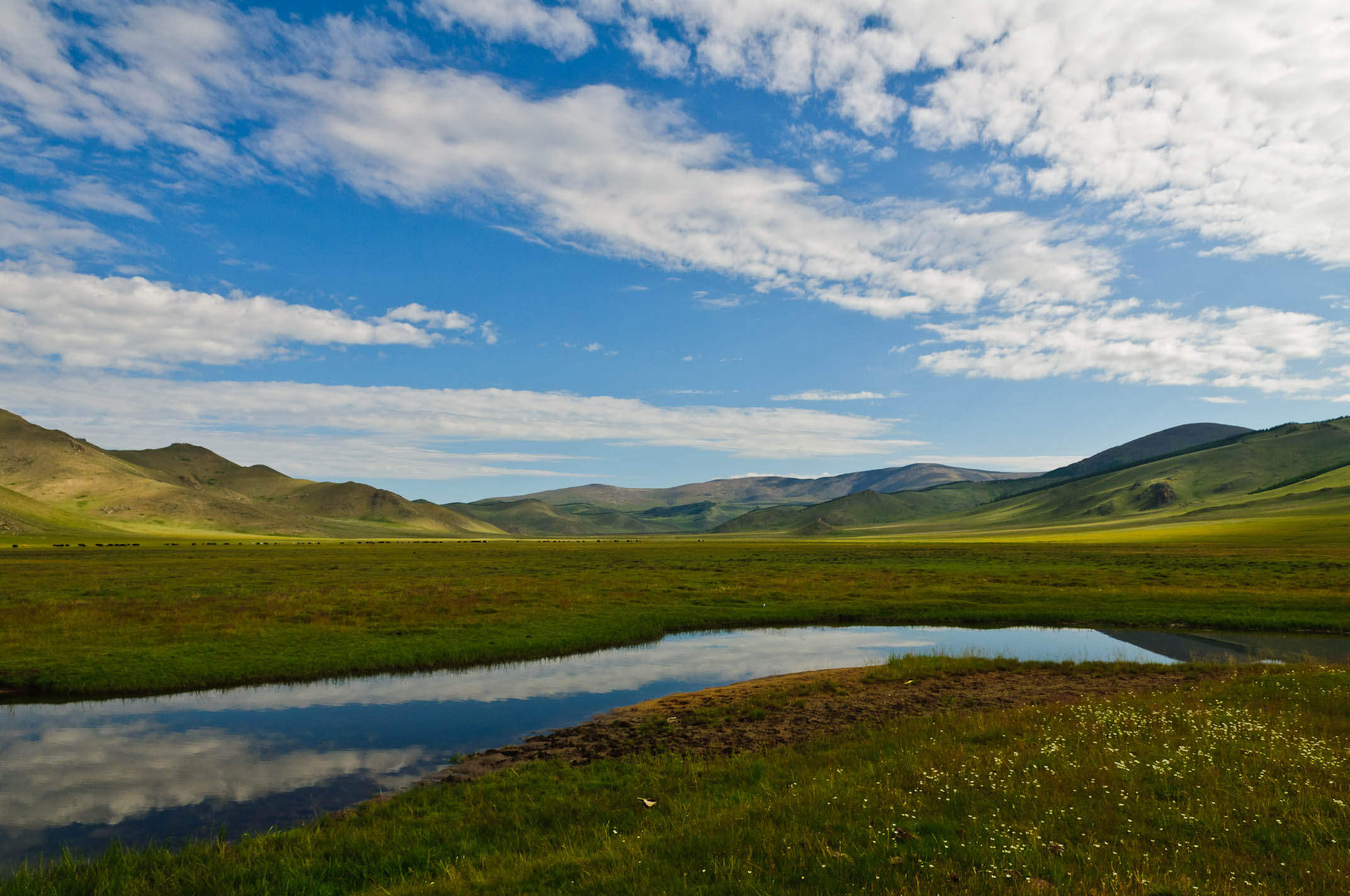
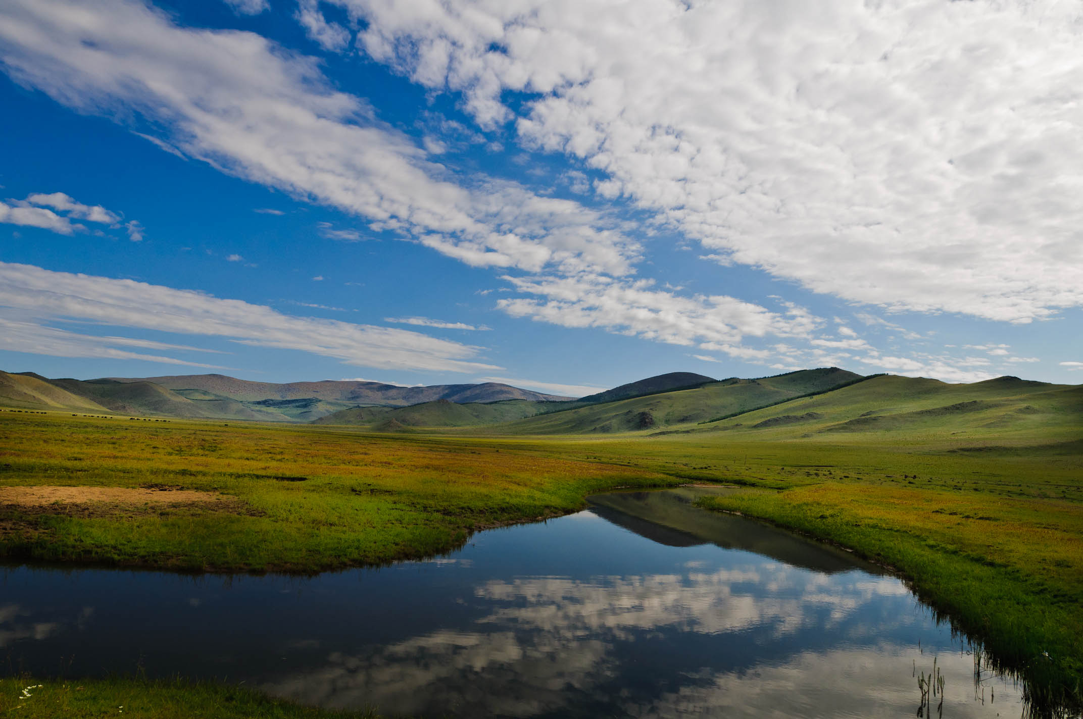
Beautiful Lake View
Panoramic View Tsagaan
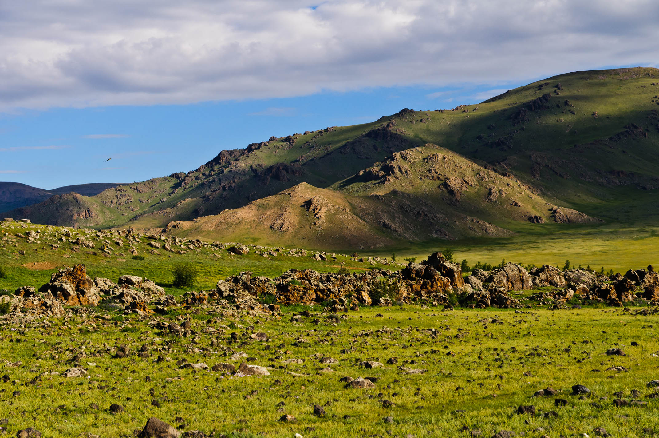
Beautiful Volcano View
MNGL-3782-20110804.jpg
MNGL-3819-20110804.jpg
MNGL-3856-20110804.jpg
MNGL-3854-20110804.jpg
MNGL-3818-20110804.jpg
MNGL-3855-20110804.jpg
MNGL-3850-20110804.jpg
MNGL-3787-20110804.jpg
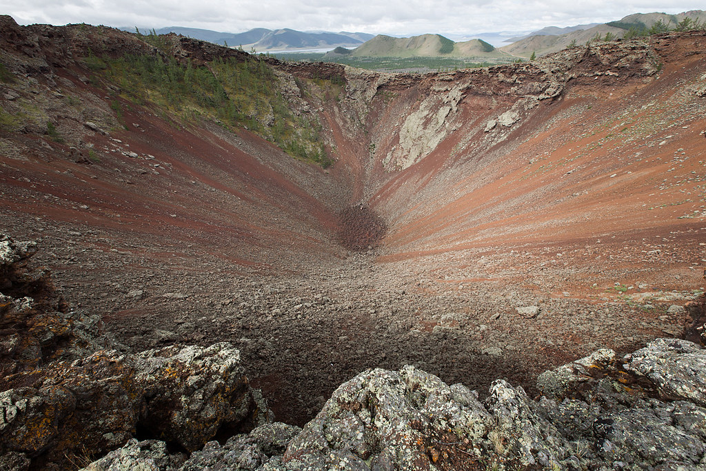
Vulcano - Korgo - Mongolia
MNGL-3780-20110804.jpg
MNGL-3794-20110804.jpg
MNGL-3858-20110804.jpg
MNGL-3851-20110804.jpg
MNGL-3594-20110803.jpg
MNGL-3778-20110804.jpg
MNGL-3857-20110804.jpg
MNGL-3809-20110804.jpg
MNGL-3807-20110804.jpg
MNGL-3813-20110804.jpg
MNGL-3817-20110804.jpg
MNGL-3845-20110804.jpg
Topographic Map of Tariat, Mongolia
Find elevation by address:

Places in Tariat, Mongolia:
Places near Tariat, Mongolia:
Recent Searches:
- Elevation of 62 Abbey St, Marshfield, MA, USA
- Elevation of Fernwood, Bradenton, FL, USA
- Elevation of Felindre, Swansea SA5 7LU, UK
- Elevation of Leyte Industrial Development Estate, Isabel, Leyte, Philippines
- Elevation of W Granada St, Tampa, FL, USA
- Elevation of Pykes Down, Ivybridge PL21 0BY, UK
- Elevation of Jalan Senandin, Lutong, Miri, Sarawak, Malaysia
- Elevation of Bilohirs'k
- Elevation of 30 Oak Lawn Dr, Barkhamsted, CT, USA
- Elevation of Luther Road, Luther Rd, Auburn, CA, USA