Elevation of Elora, CA, USA
Location: United States > California > San Bernardino County >
Longitude: -115.52888
Latitude: 35.1380436
Elevation: 1040m / 3412feet
Barometric Pressure: 89KPa
Elevation Map:
Satellite Map:
Related Photos:

2011-01-28 16.33.21

Detail of Burned Tree in HDR

Open wire crossing the Kelso Cima Rd - North

Road to . . .

Union Pacific through Mojave

Showing the Flag

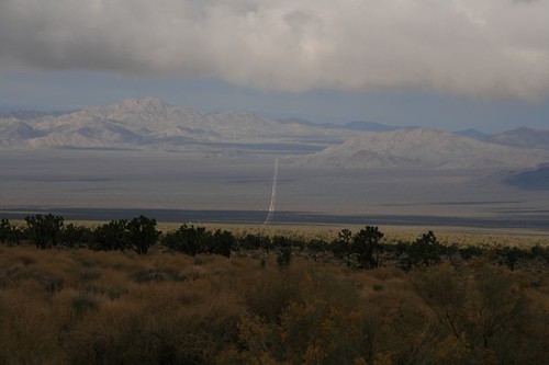
View from Marl Springs

Mountains behind the Train

Cima Post Office
Mojave Road in Ivanpah Valley
View from Marl Springs

Cima Dome View

Mojave View

Mojave View

3 USGS Benchmarks in one place!

Mojave View

Horse ride

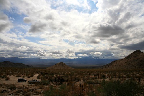
The wasteland

D10 Mojave National Preserve view toward I15

The "Hole-In-The-Wall"

tonight's dinner and view

9451 23-05-98

Banshee Canyon, Mojave

Round Valley, Mojave National Preserve, California

Mojave National Preserve, California

Opalite cliffs

crossbuck. cima, ca. 2013.

Mojave National Preserve #06

California Girls

Gateway to Adventure

Railfanning, Mojave National Preserve, California

Morning Star Mine Road

Topping out

Light painting in the desert

crossbuck. cima, ca. 2013.

"Coyote Crossing"

Sunset and Crossbucks, Cima, CA

Desert Chase

Hole In The Wall

20180624-098

Road and Barber Peak

Cedar Canyon, Mojave Rd.
Topographic Map of Elora, CA, USA
Find elevation by address:

Places near Elora, CA, USA:
Mojave National Preserve
Mojave Desert
Cima Rd, Kelso, CA, USA
Kelso
Edgar Peak
Granite Peak
Vanity Rd, Baker, CA, USA
97715 National Trails Hwy
Cadiz Rd, Amboy, CA, USA
Cadiz
Amboy
Rasor Rd, Baker, CA, USA
Ludlow
Basin
Riverside-san Bernardino-ontario, Ca
San Bernardino County
Southern California
8th Street
Yermo Rd, Newberry Springs, CA, USA
74256 Mesa Dr
Recent Searches:
- Elevation of Congressional Dr, Stevensville, MD, USA
- Elevation of Bellview Rd, McLean, VA, USA
- Elevation of Stage Island Rd, Chatham, MA, USA
- Elevation of Shibuya Scramble Crossing, 21 Udagawacho, Shibuya City, Tokyo -, Japan
- Elevation of Jadagoniai, Kaunas District Municipality, Lithuania
- Elevation of Pagonija rock, Kranto 7-oji g. 8"N, Kaunas, Lithuania
- Elevation of Co Rd 87, Jamestown, CO, USA
- Elevation of Tenjo, Cundinamarca, Colombia
- Elevation of Côte-des-Neiges, Montreal, QC H4A 3J6, Canada
- Elevation of Bobcat Dr, Helena, MT, USA