Elevation of Basin, CA, USA
Location: United States > California > San Bernardino County >
Longitude: -116.29501
Latitude: 35.043039
Elevation: 396m / 1299feet
Barometric Pressure: 97KPa
Elevation Map:
Satellite Map:
Related Photos:

Afton Canyon

Afton 72

Bighorn Ram on Ledge
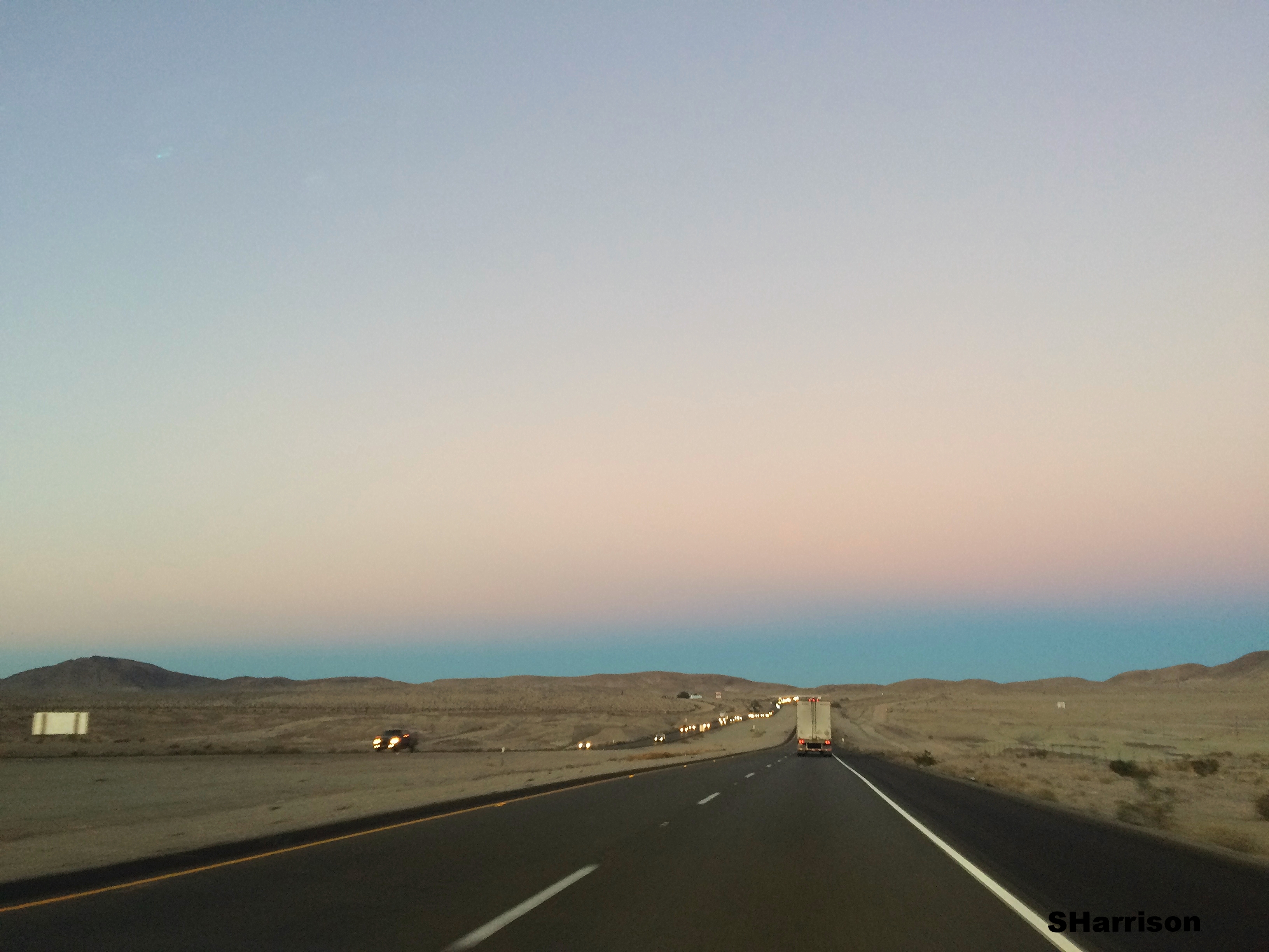
Driving from LA to Vegas
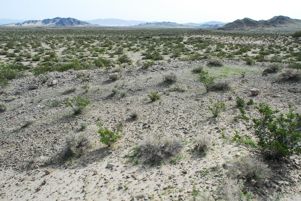
View of Mojave River Wash

Afton 40
Topographic Map of Basin, CA, USA
Find elevation by address:

Places near Basin, CA, USA:
Rasor Rd, Baker, CA, USA
Riverside-san Bernardino-ontario, Ca
San Bernardino County
Southern California
Yermo Rd, Newberry Springs, CA, USA
Vanity Rd, Baker, CA, USA
Ludlow
Idaho Trails Road
Newberry Springs
44222 National Trails Hwy
40221 Dune Rd
Kelso
Cima Rd, Kelso, CA, USA
Granite Peak
Amboy
2733 Shawnee Trail
Edgar Peak
Elora
60824 Reche Rd
60824 Reche Rd
Recent Searches:
- Elevation of Corso Fratelli Cairoli, 35, Macerata MC, Italy
- Elevation of Tallevast Rd, Sarasota, FL, USA
- Elevation of 4th St E, Sonoma, CA, USA
- Elevation of Black Hollow Rd, Pennsdale, PA, USA
- Elevation of Oakland Ave, Williamsport, PA, USA
- Elevation of Pedrógão Grande, Portugal
- Elevation of Klee Dr, Martinsburg, WV, USA
- Elevation of Via Roma, Pieranica CR, Italy
- Elevation of Tavkvetili Mountain, Georgia
- Elevation of Hartfords Bluff Cir, Mt Pleasant, SC, USA