Elevation of Ellis Rd, Crowley, LA, USA
Location: United States > Louisiana > Acadia Parish > >
Longitude: -92.406297
Latitude: 30.303154
Elevation: 9m / 30feet
Barometric Pressure: 101KPa
Elevation Map:
Satellite Map:
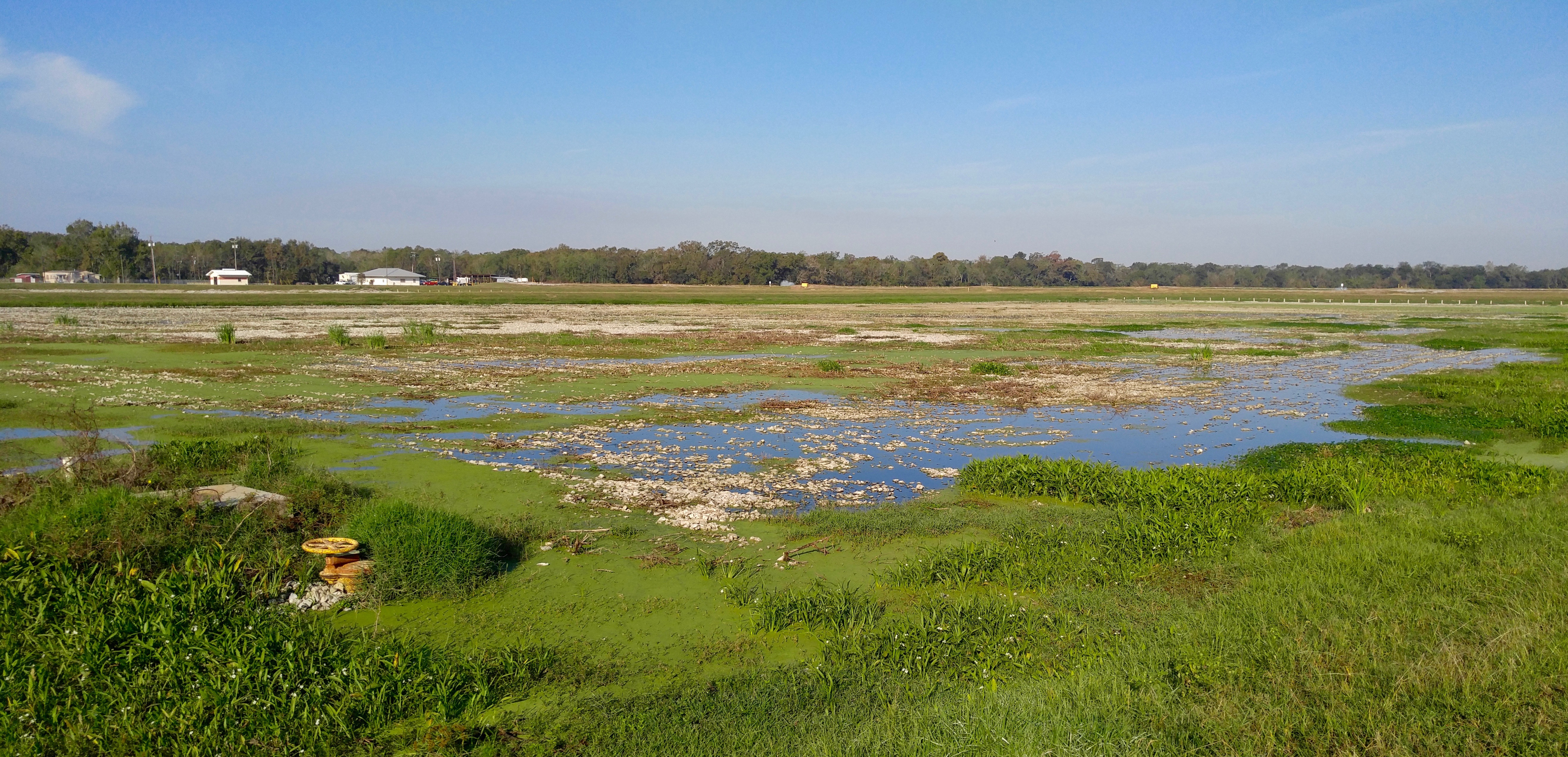
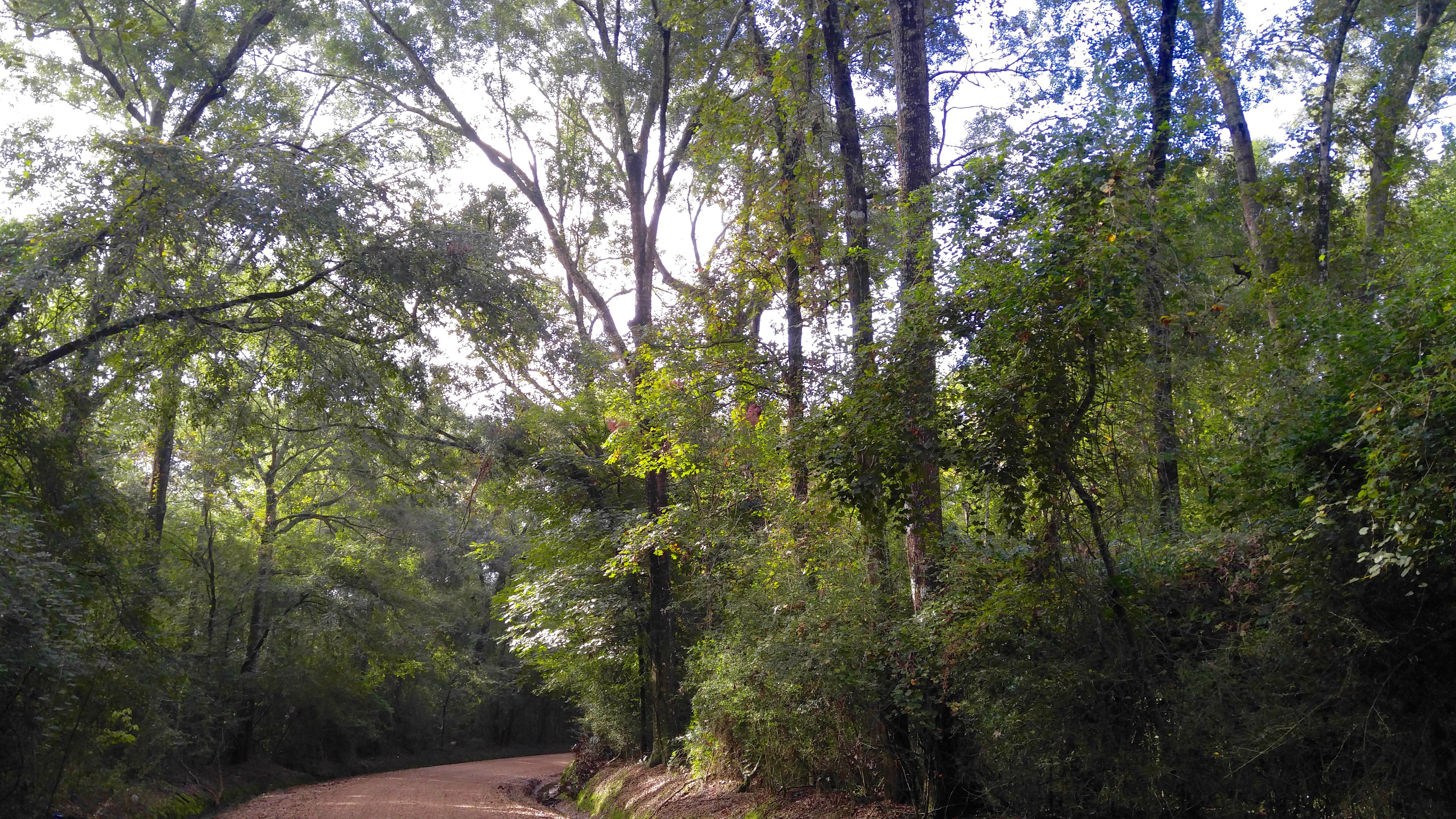
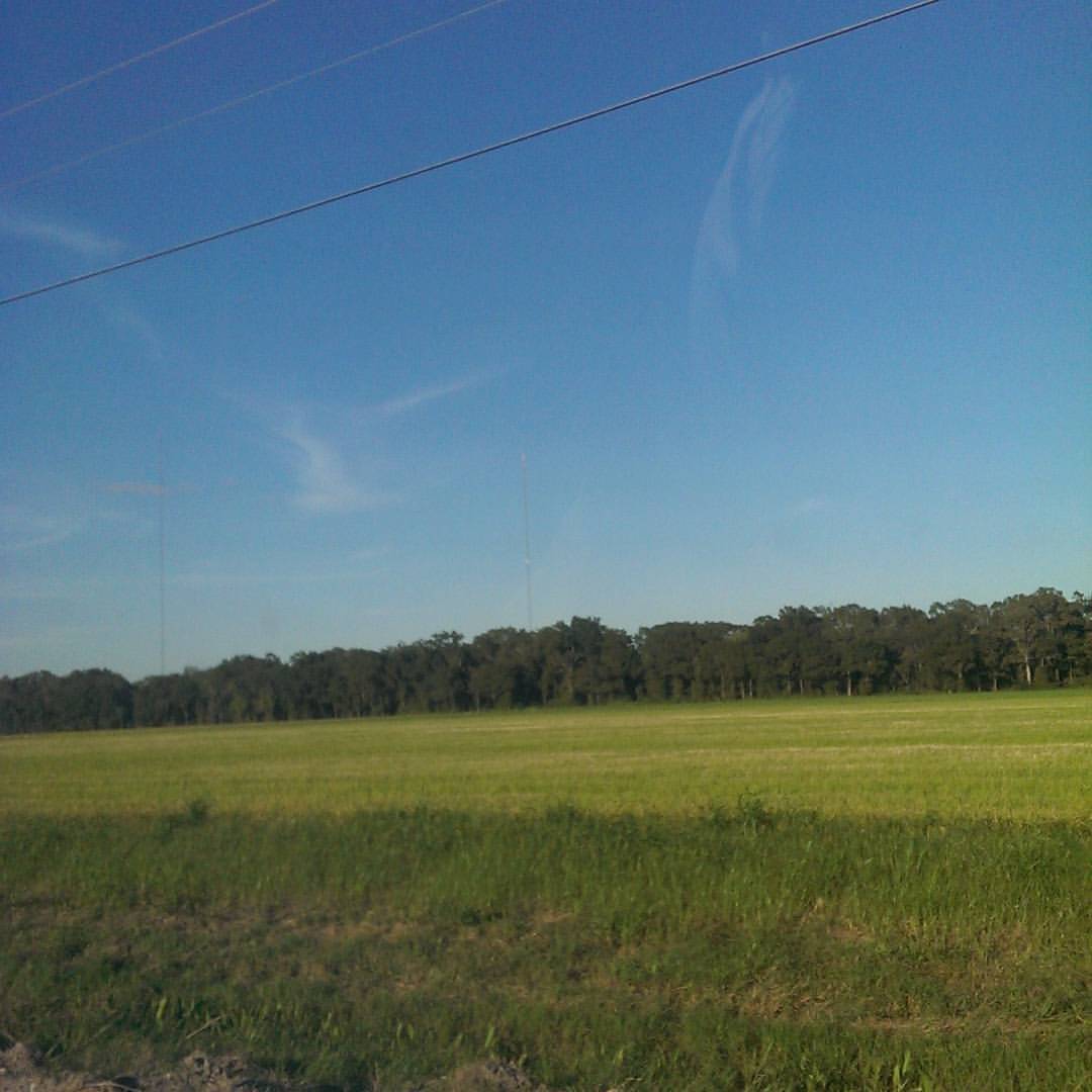
Related Photos:

Up Front

Bug's Eye View

1first view of Louisiana - Copy

Convex View
Crowley WTP

Crowley WTP
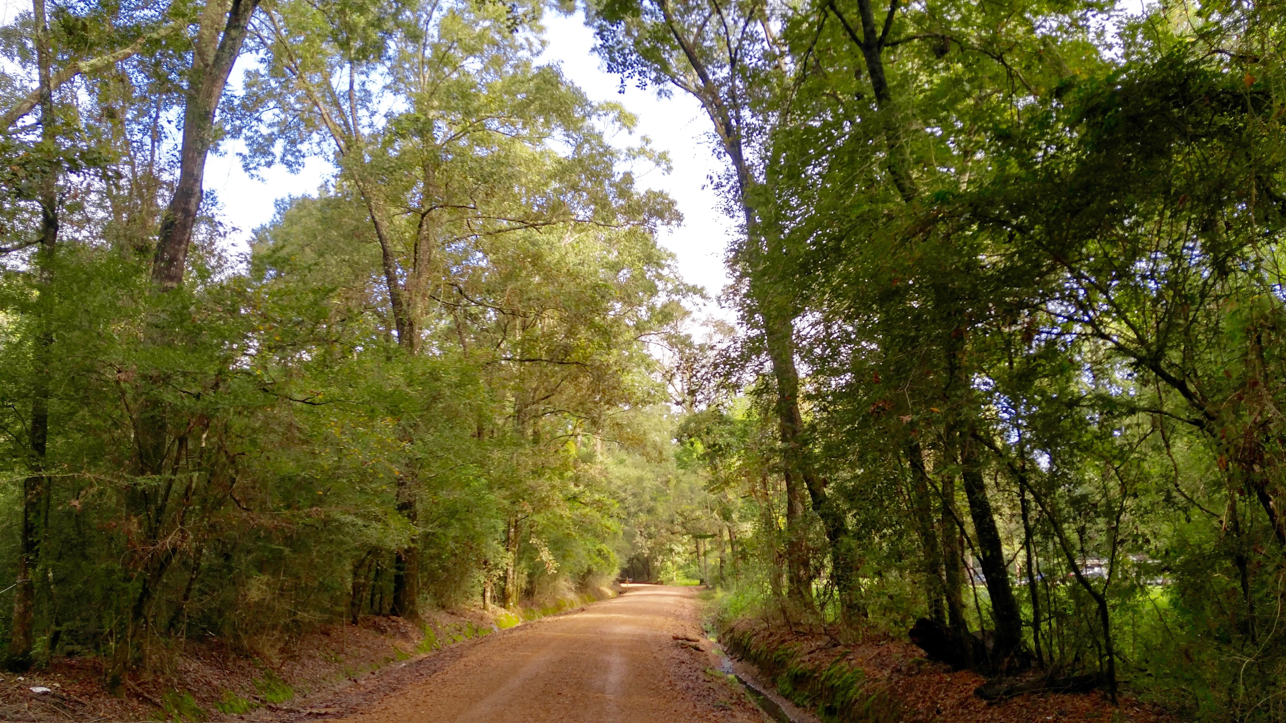
Ohlenforst Rd.
Ohlenforst Rd.

I-10 Flooding
@katctv3 and @klfy off in the distance.

Cypress Forest
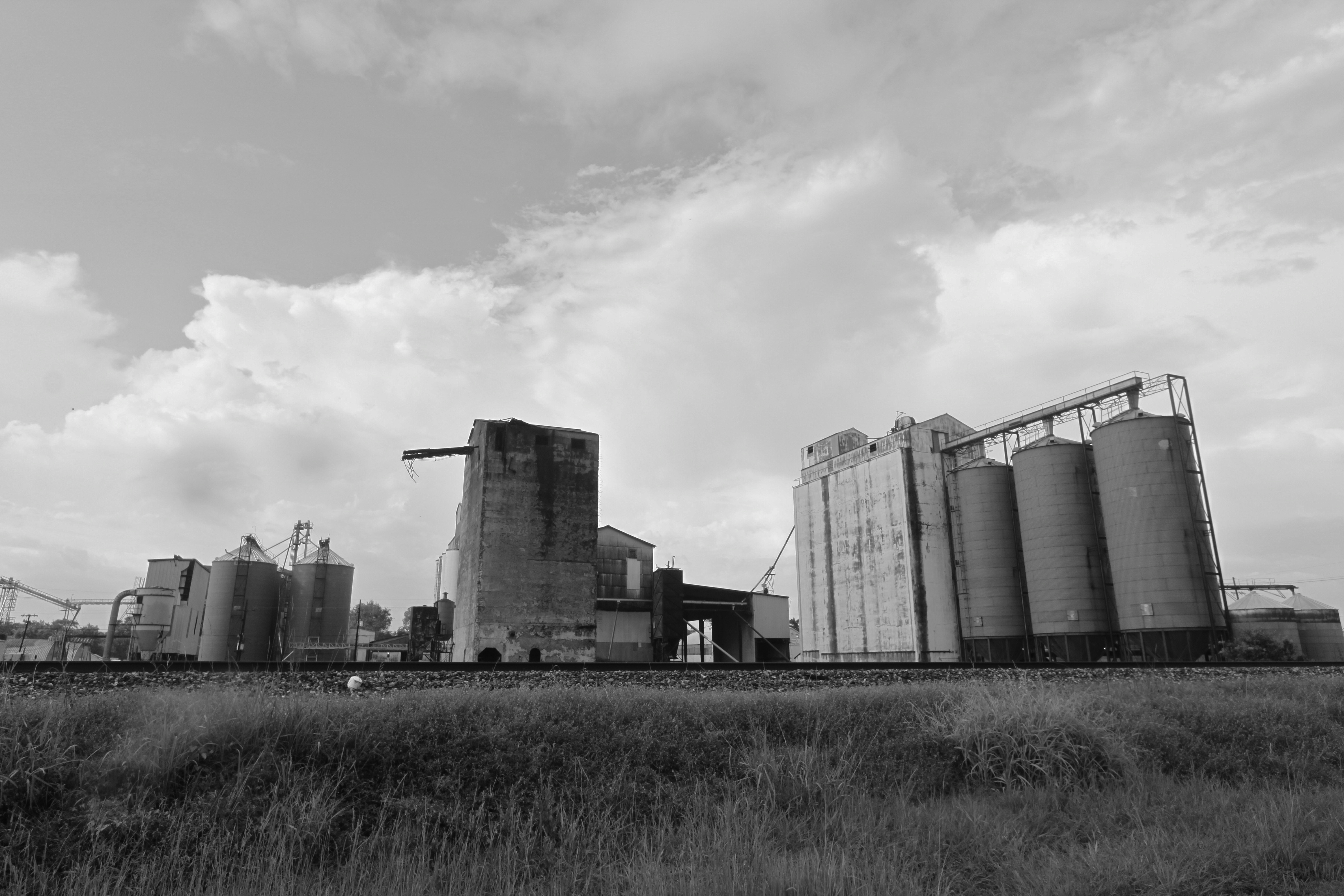
Rice elevators, Rayne LA

Cypress Forest
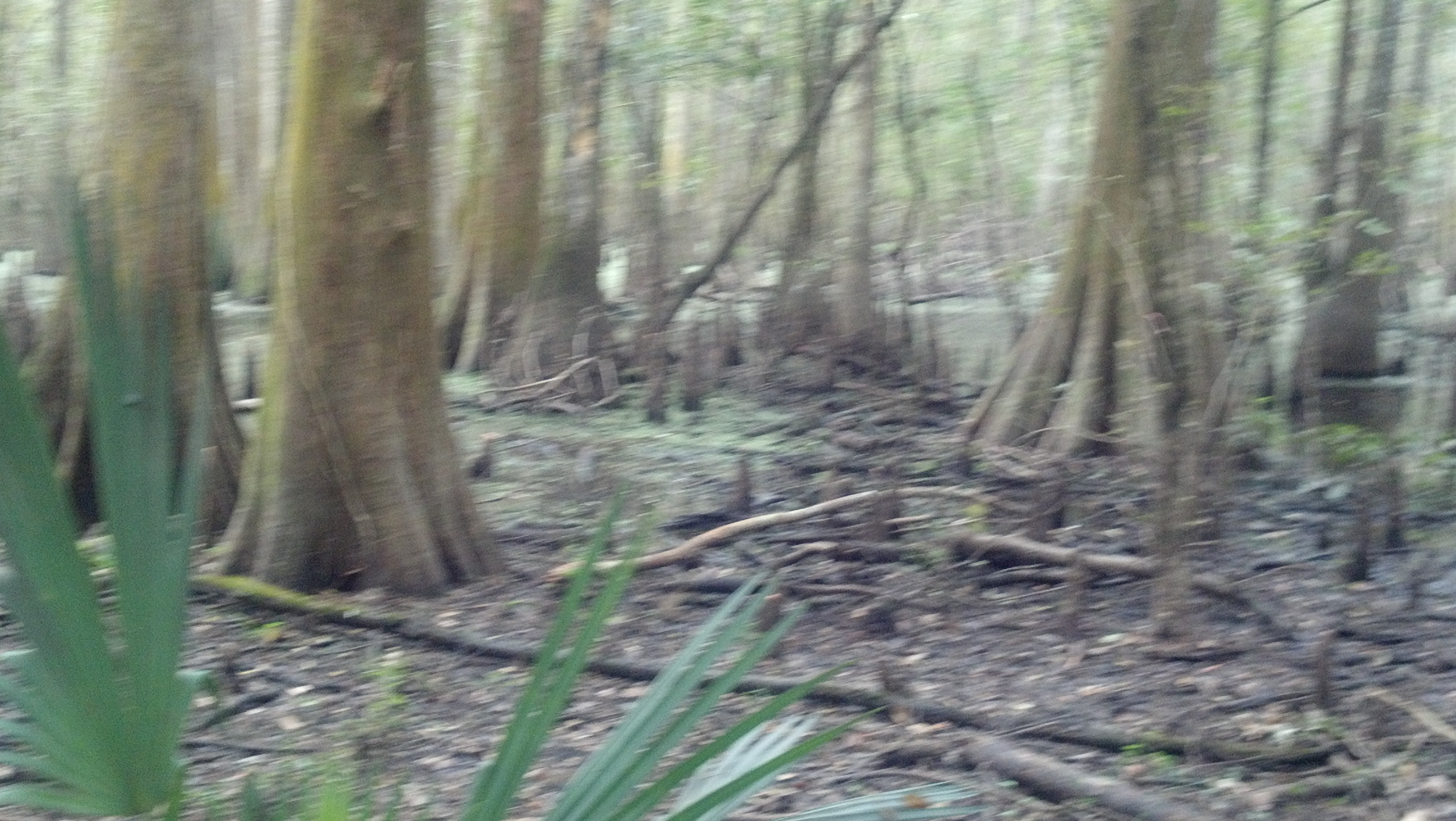
Cypress Forest

2016:08:28 17:49:31 Flickr-354
Topographic Map of Ellis Rd, Crowley, LA, USA
Find elevation by address:

Places near Ellis Rd, Crowley, LA, USA:
119 Mouton Vincent Ln
2447 Stakes Rd
244 Williams Rd
321 Horse Shoe Dr
9339 Mccain Rd
120 Atwood Dr
135 Joseph Dr
1988 Ellis Rd
158 Joseph Dr
2518 Bayou Plaquemine Rd
5138 Goodrich Rd
2350 Schule Rd
240 Ancelet Ln
116 Par Rd 6-54
1174 Bayou Plaquemine Rd
1906 Tower Rd
2, LA, USA
2014 Tower Rd
451 Stewartville Rd
2124 Tower Rd
Recent Searches:
- Elevation of 3 Nestling Wood Dr, Long Valley, NJ, USA
- Elevation of Ilungu, Tanzania
- Elevation of Yellow Springs Road, Yellow Springs Rd, Chester Springs, PA, USA
- Elevation of Rēzekne Municipality, Latvia
- Elevation of Plikpūrmaļi, Vērēmi Parish, Rēzekne Municipality, LV-, Latvia
- Elevation of 2 Henschke Ct, Caboolture QLD, Australia
- Elevation of Redondo Ave, Long Beach, CA, USA
- Elevation of Sadovaya Ulitsa, 20, Rezh, Sverdlovskaya oblast', Russia
- Elevation of Ulitsa Kalinina, 79, Rezh, Sverdlovskaya oblast', Russia
- Elevation of 72-31 Metropolitan Ave, Middle Village, NY, USA