Elevation of Bayou Plaquemine Rd, Rayne, LA, USA
Location: United States > Louisiana > Acadia Parish > >
Longitude: -92.361083
Latitude: 30.2861755
Elevation: 9m / 30feet
Barometric Pressure: 101KPa
Elevation Map:
Satellite Map:
Related Photos:

Up Front

A frog's eye view

Bug's Eye View

Convex View

1first view of Louisiana - Copy

Rice elevators, Rayne LA

Crowley WTP

a IMG_4487 (2) crowley topsoil separation

Crowley WTP

Aspen Rd.

Crowley WTP

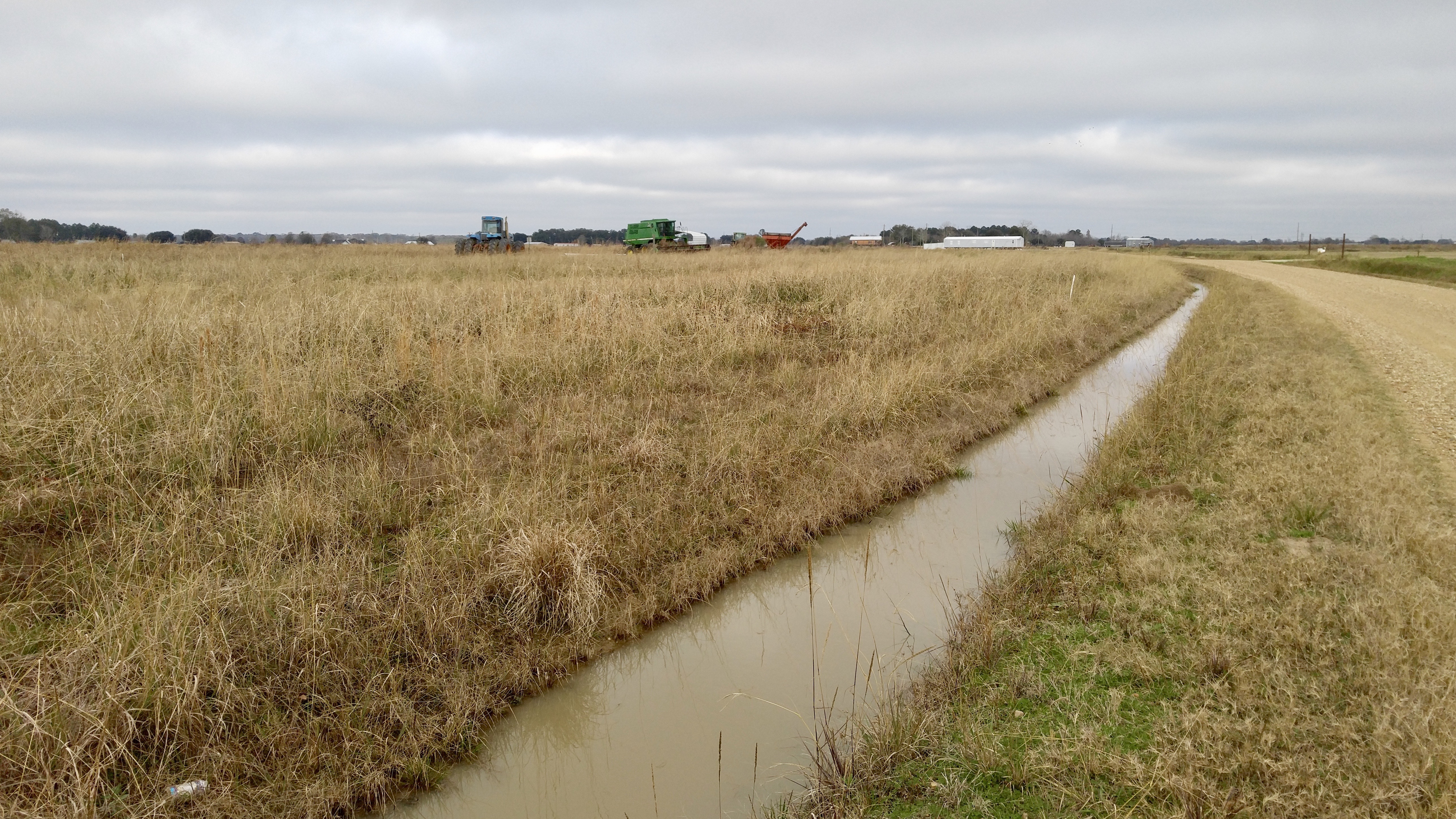
Fabacher Rd.

Ohlenforst Rd.

Fabacher Rd.

LSU Rice Research Station

Ohlenforst Rd.

Wyckoff Bayou, Ohlenforst Rd.

Crowley WTP

Crowley WTP

Ohlenforst Rd.

Rayne WTP
Aspen Rd.
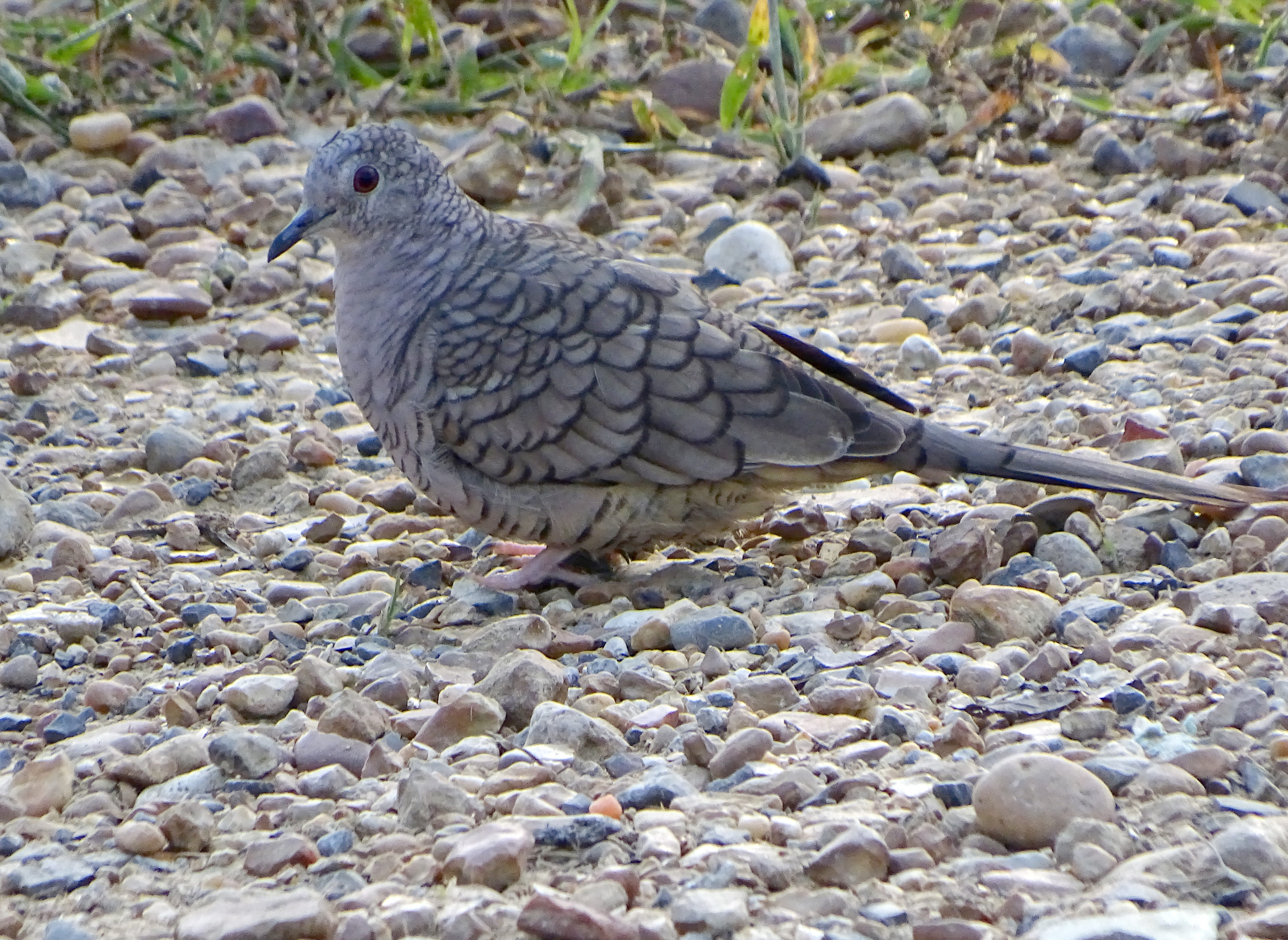
Columbina incaDFL la17

Cypress Forest

LSU Rice Research Station

Cypress Forest
Topographic Map of Bayou Plaquemine Rd, Rayne, LA, USA
Find elevation by address:

Places near Bayou Plaquemine Rd, Rayne, LA, USA:
240 Ancelet Ln
1906 Tower Rd
2014 Tower Rd
2124 Tower Rd
1174 Bayou Plaquemine Rd
120 Atwood Dr
321 Horse Shoe Dr
244 Williams Rd
2447 Stakes Rd
2234 Ohlenforst Rd
North Cherokee Drive
Ellis Rd, Crowley, LA, USA
119 Mouton Vincent Ln
451 Stewartville Rd
116 Par Rd 6-54
359 Upton Ln
321 Stewartville Rd
158 Joseph Dr
135 Joseph Dr
2350 Schule Rd
Recent Searches:
- Elevation of 2 Henschke Ct, Caboolture QLD, Australia
- Elevation of Redondo Ave, Long Beach, CA, USA
- Elevation of Sadovaya Ulitsa, 20, Rezh, Sverdlovskaya oblast', Russia
- Elevation of Ulitsa Kalinina, 79, Rezh, Sverdlovskaya oblast', Russia
- Elevation of 72-31 Metropolitan Ave, Middle Village, NY, USA
- Elevation of 76 Metropolitan Ave, Brooklyn, NY, USA
- Elevation of Alisal Rd, Solvang, CA, USA
- Elevation of Vista Blvd, Sparks, NV, USA
- Elevation of 15th Ave SE, St. Petersburg, FL, USA
- Elevation of Beall Road, Beall Rd, Florida, USA