Elevation map of Ehlanzeni, South Africa
Location: South Africa > Mpumalanga >
Longitude: 31.2626366
Latitude: -25.394596
Elevation: 485m / 1591feet
Barometric Pressure: 96KPa
Elevation Map:
Satellite Map:
Related Photos:
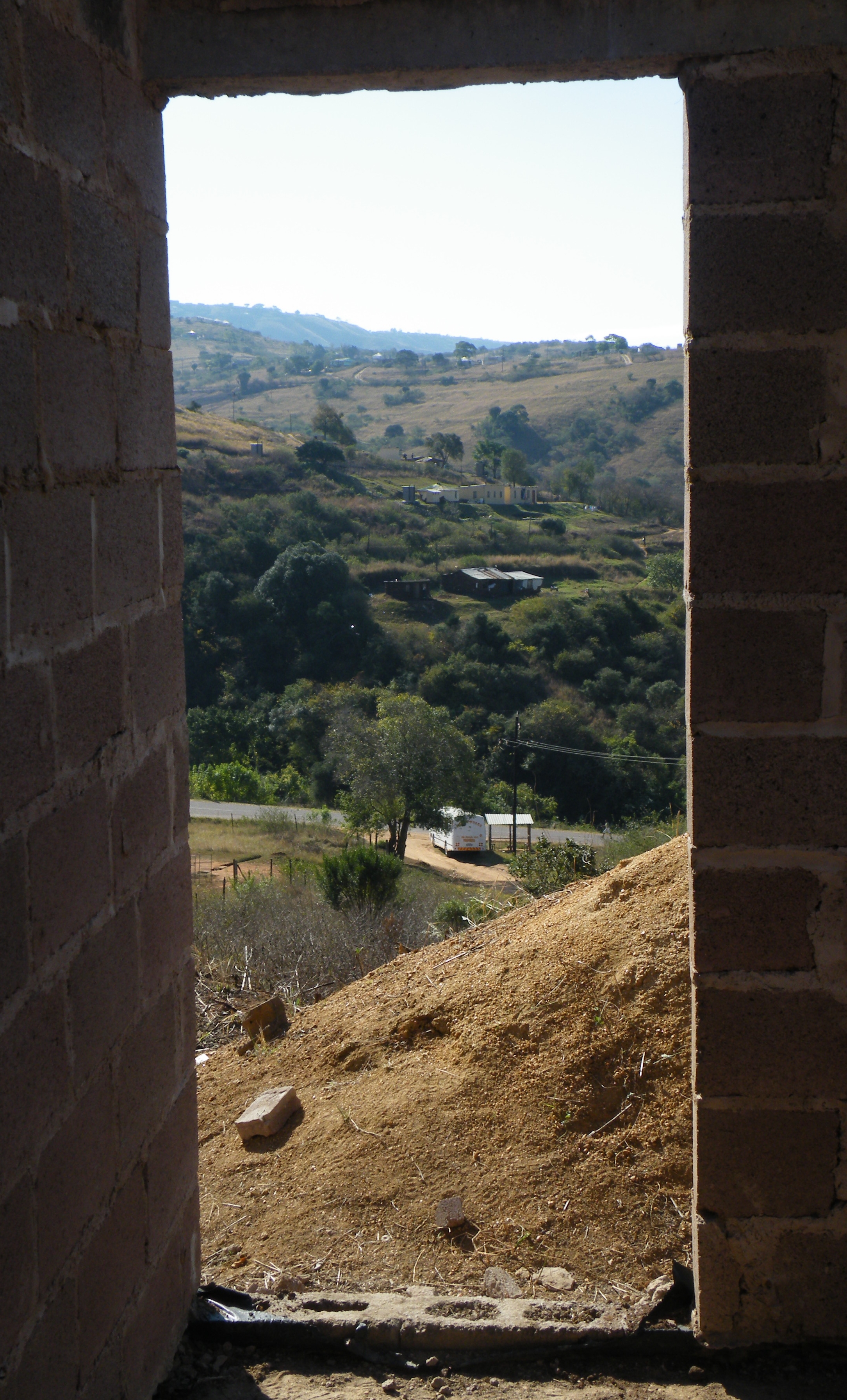
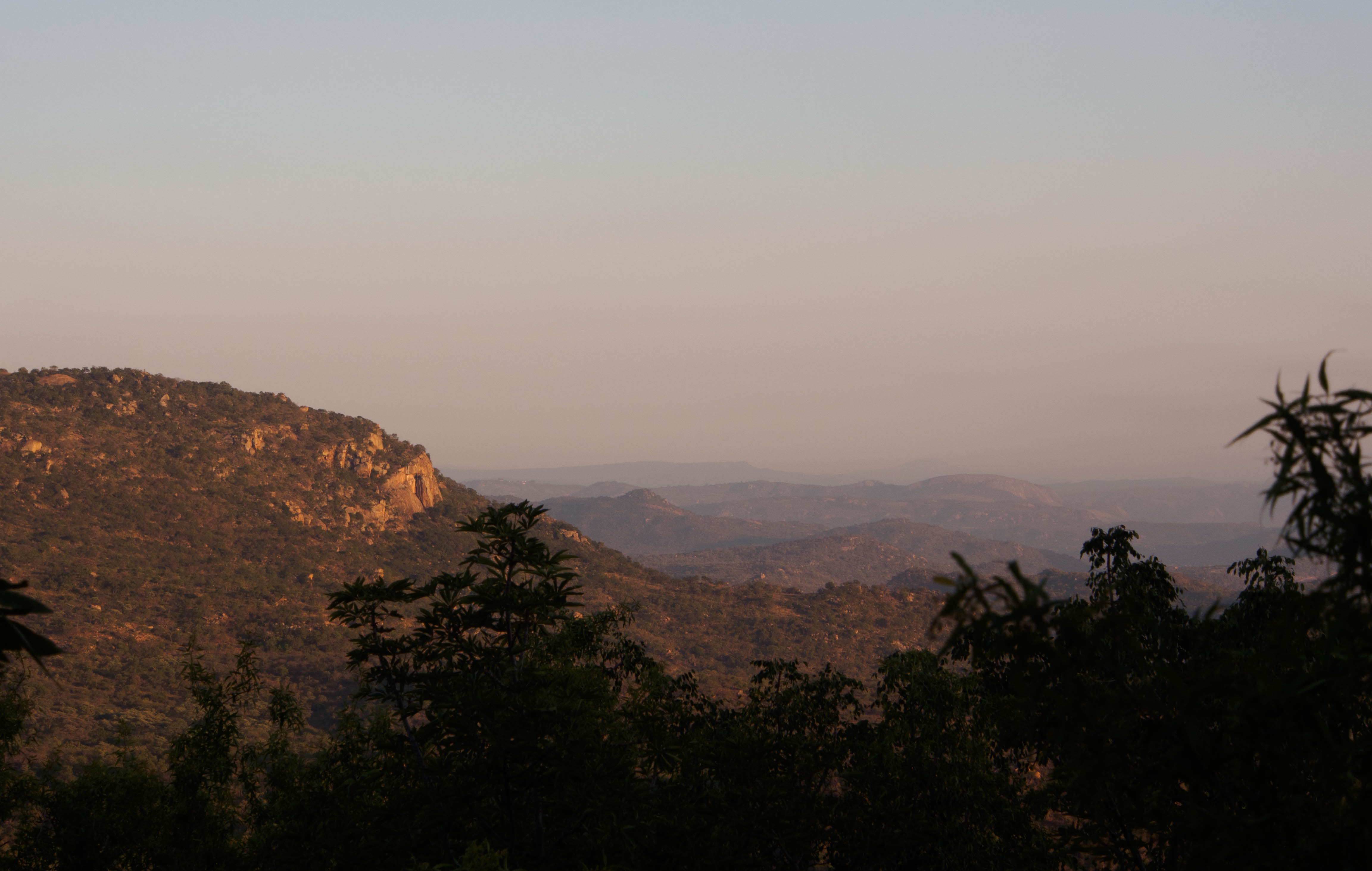
view over eHlanzeni
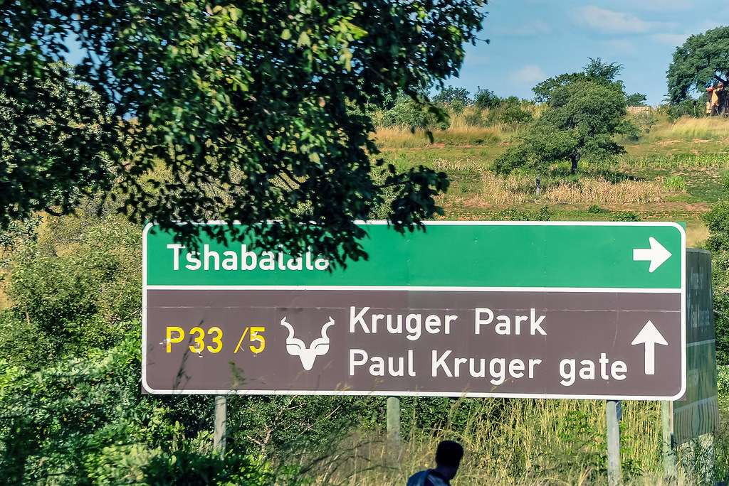
Kruger National Park

Near Old Joe on R539

Selati Station Grillhouse

Kruger National Park
IMG_1677.jpg
2014-12-27 09.46.02

Kruger National Park

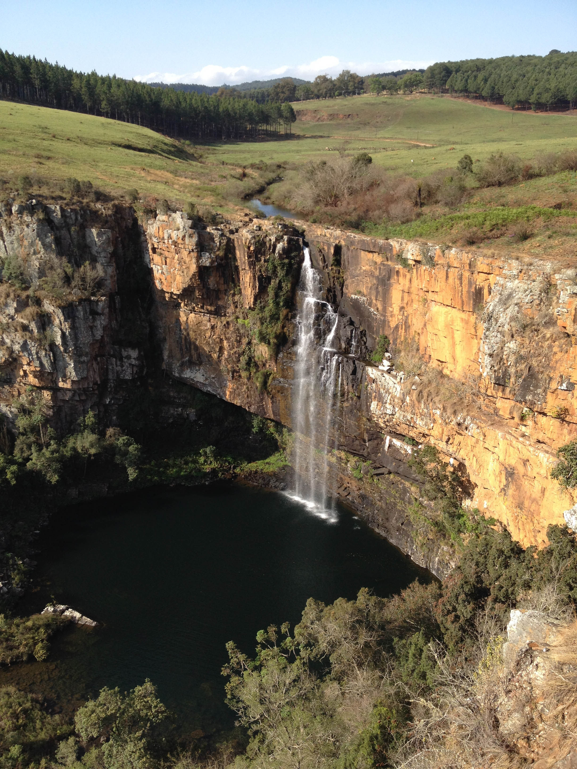
The view from the pool & viewing deck of Bongani Mountain Lodge - I4140070_stitch
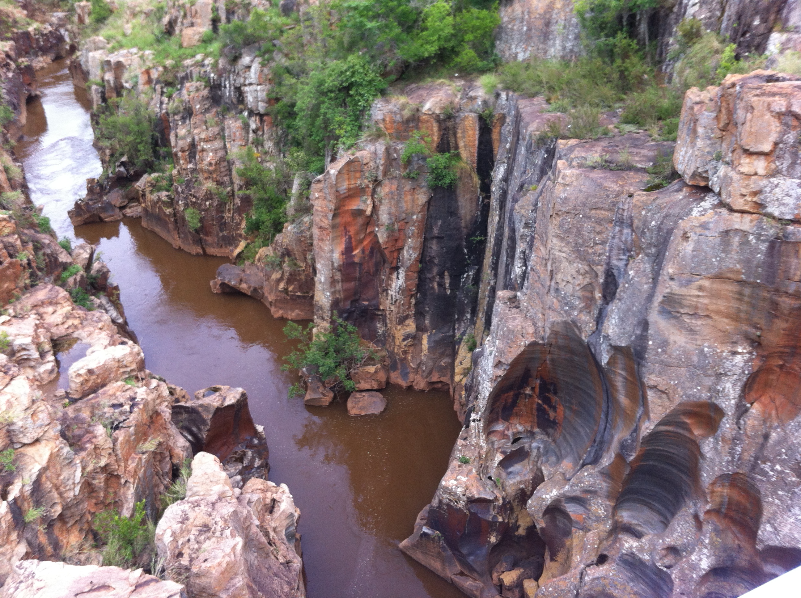
Early Morning over Bongani - I4140035
Topographic Map of Ehlanzeni, South Africa
Find elevation by address:

Places in Ehlanzeni, South Africa:
Kruger Park
Bushbuckridge
Sabie
Nelspruit
Tonga
Komatipoort
Pilgrimsrest
Sabie
Hazyview
Malelane
Barberton Makhonjwa
Nkomazi Local Municipality
Drum Rock
Mbombela
Schoemanskloof
White River
Rolle
Lydenburg
Places near Ehlanzeni, South Africa:
Berg En Dal Rest Camp Restaurant
White River
Steiltes Nature Reserve
Leopard Creek Country Club
Drum Rock
4-8 Bontrokkie Turn
Bateleur Estate
Riverside Mall
Malelane
Nelspruit
Turn & Tender, The Crossing Centre
Mbombela
Sonpark Centre
The Rest Nature Estate
Mjejane Private Game Reserve
Barberton Makhonjwa
Barberton Prison Farm
2585 Pofadder St
Nkomazi Local Municipality
Piggs Peak
Recent Searches:
- Elevation of Corso Fratelli Cairoli, 35, Macerata MC, Italy
- Elevation of Tallevast Rd, Sarasota, FL, USA
- Elevation of 4th St E, Sonoma, CA, USA
- Elevation of Black Hollow Rd, Pennsdale, PA, USA
- Elevation of Oakland Ave, Williamsport, PA, USA
- Elevation of Pedrógão Grande, Portugal
- Elevation of Klee Dr, Martinsburg, WV, USA
- Elevation of Via Roma, Pieranica CR, Italy
- Elevation of Tavkvetili Mountain, Georgia
- Elevation of Hartfords Bluff Cir, Mt Pleasant, SC, USA