Elevation map of Bushbuckridge, South Africa
Location: South Africa > Mpumalanga > Ehlanzeni >
Longitude: 31.1710389
Latitude: -24.820496
Elevation: 524m / 1719feet
Barometric Pressure: 95KPa
Elevation Map:
Satellite Map:
Related Photos:
#animals #animal #pet #TagsForLikes #dog #cat #dogs #cats #photooftheday #cute #pets #instagood #animales #cute #love #nature #animallovers #pets_of_instagram #petstagram #petsagram

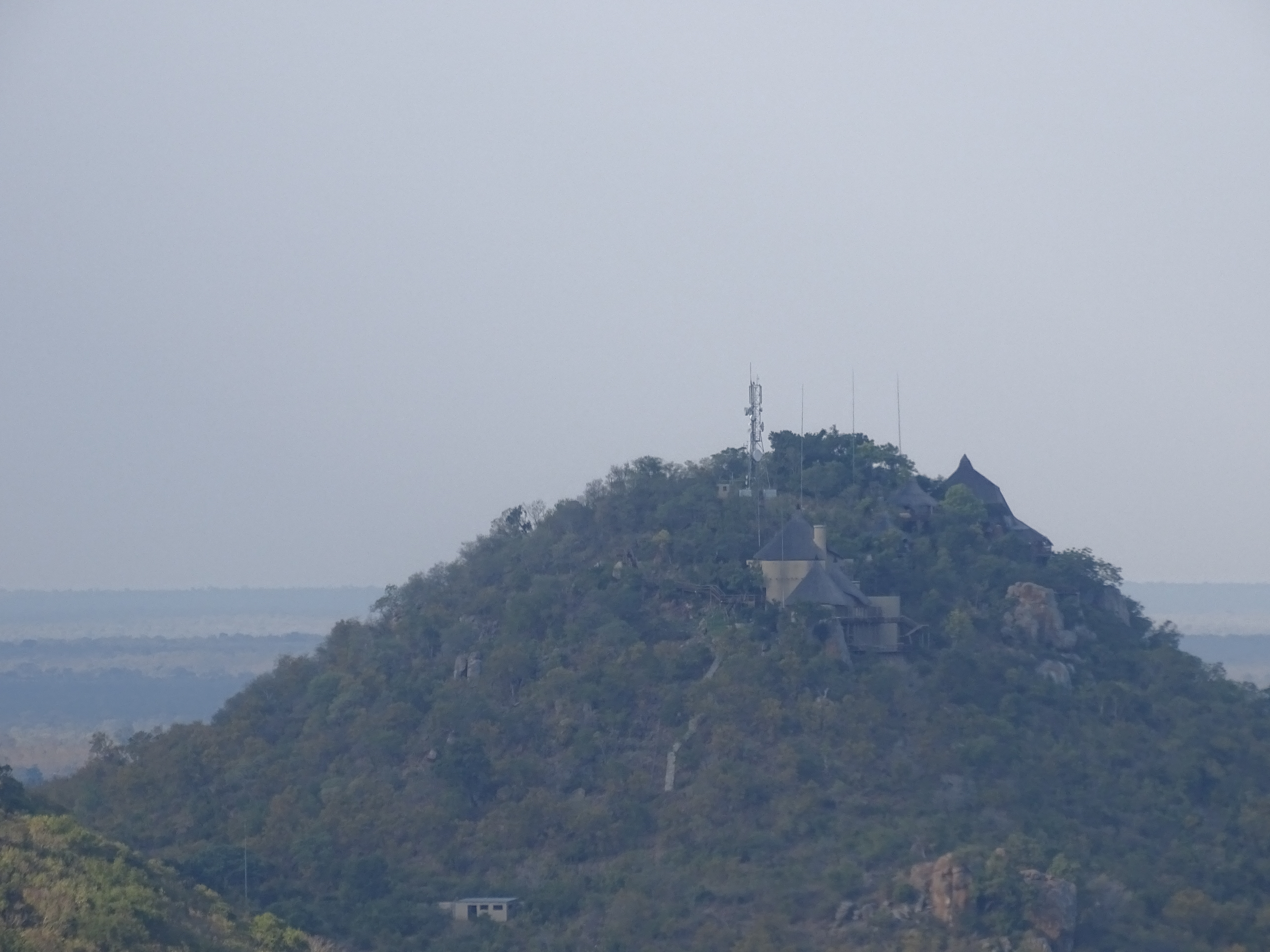
Rock lodge in the far distance
Our room in the sky

Rock lodge on the right

Crocus #crocus #spring #flowers #purple #southendonsea #westcliff #Essex #British #March

#sunflower #bumblebee #bee #southendonsea #chalkwellpark
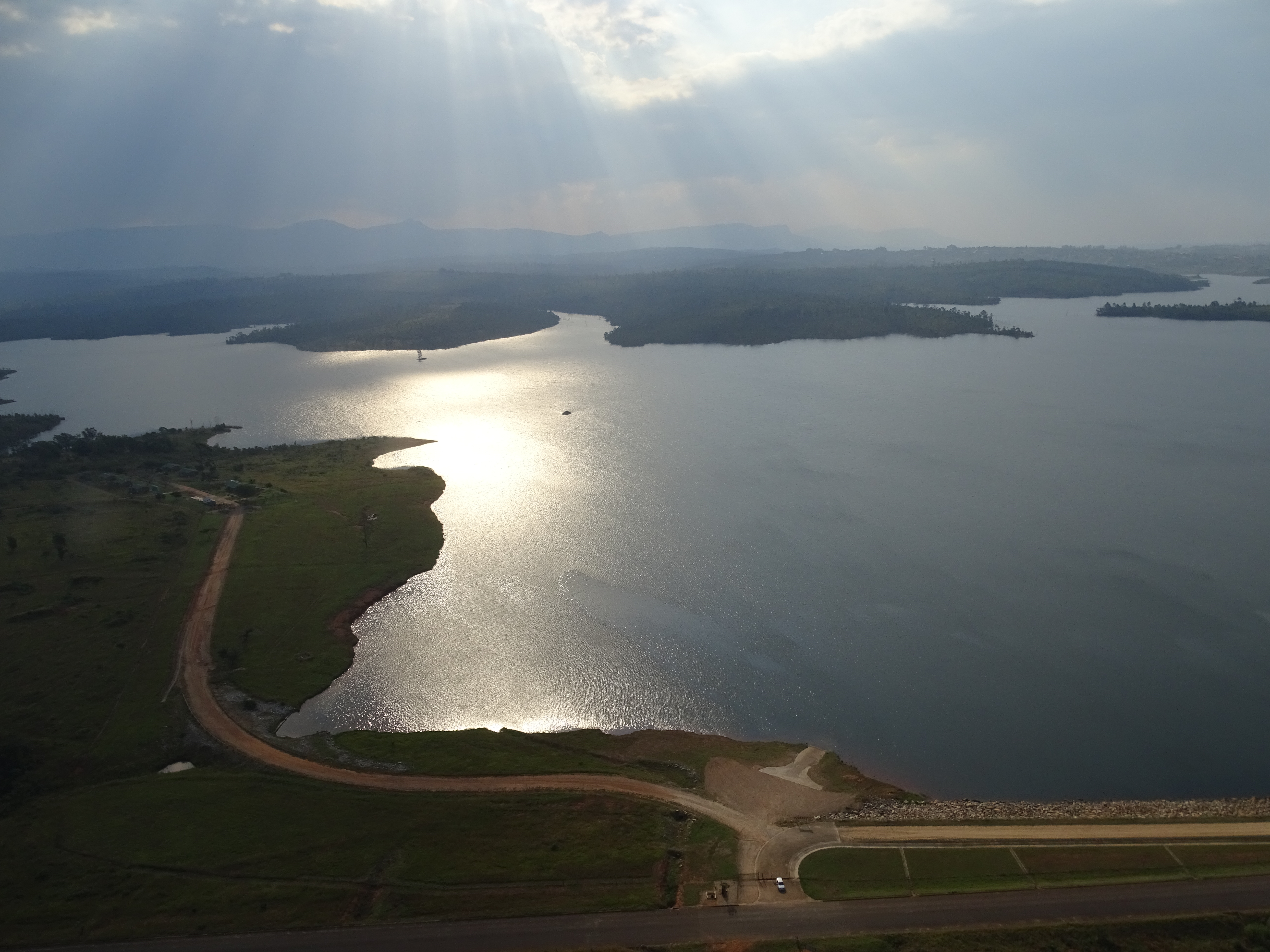
More water
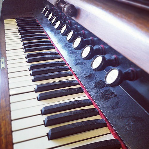
Karn American ReedOrgan c.1900 #reedorgan #harmonium #organ #keyboard #music #victorian #reed #southendonsea
2012 African adventure (54)
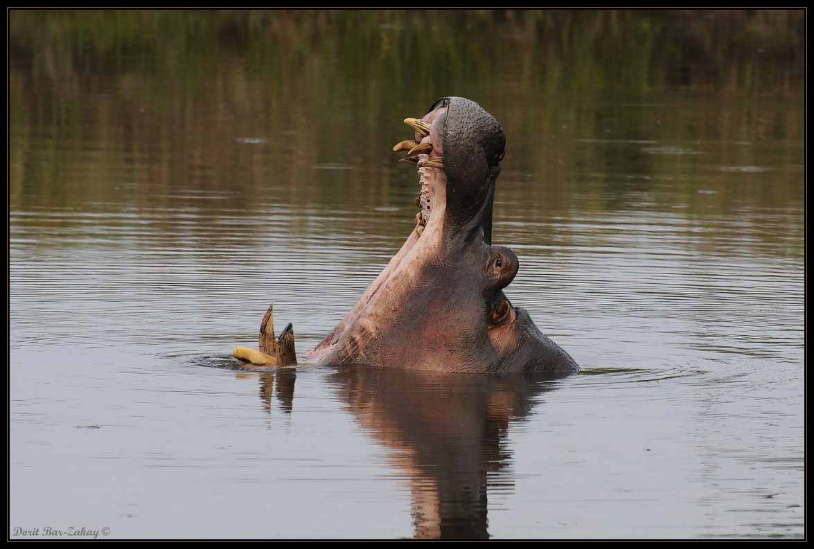
Hippopotamus (Hippopotamus amphibius)

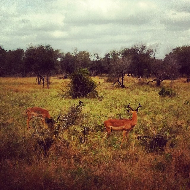
The Bush

On a game drive
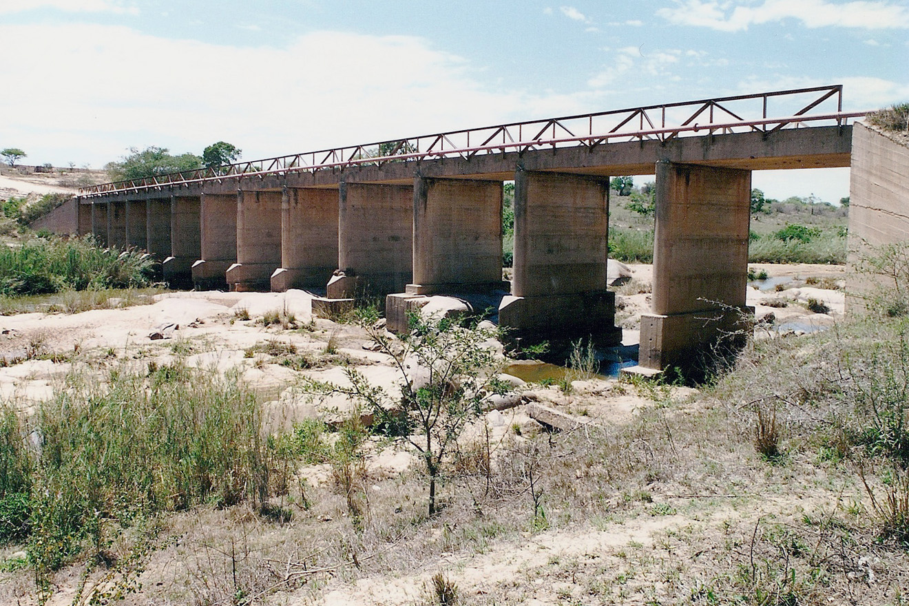
Thulamahashe Road Bridge
Topographic Map of Bushbuckridge, South Africa
Find elevation by address:

Places in Bushbuckridge, South Africa:
Places near Bushbuckridge, South Africa:
Sleepmasters
Dwarsloop Mall
Rolle
Thulamahashe Sewage Plant
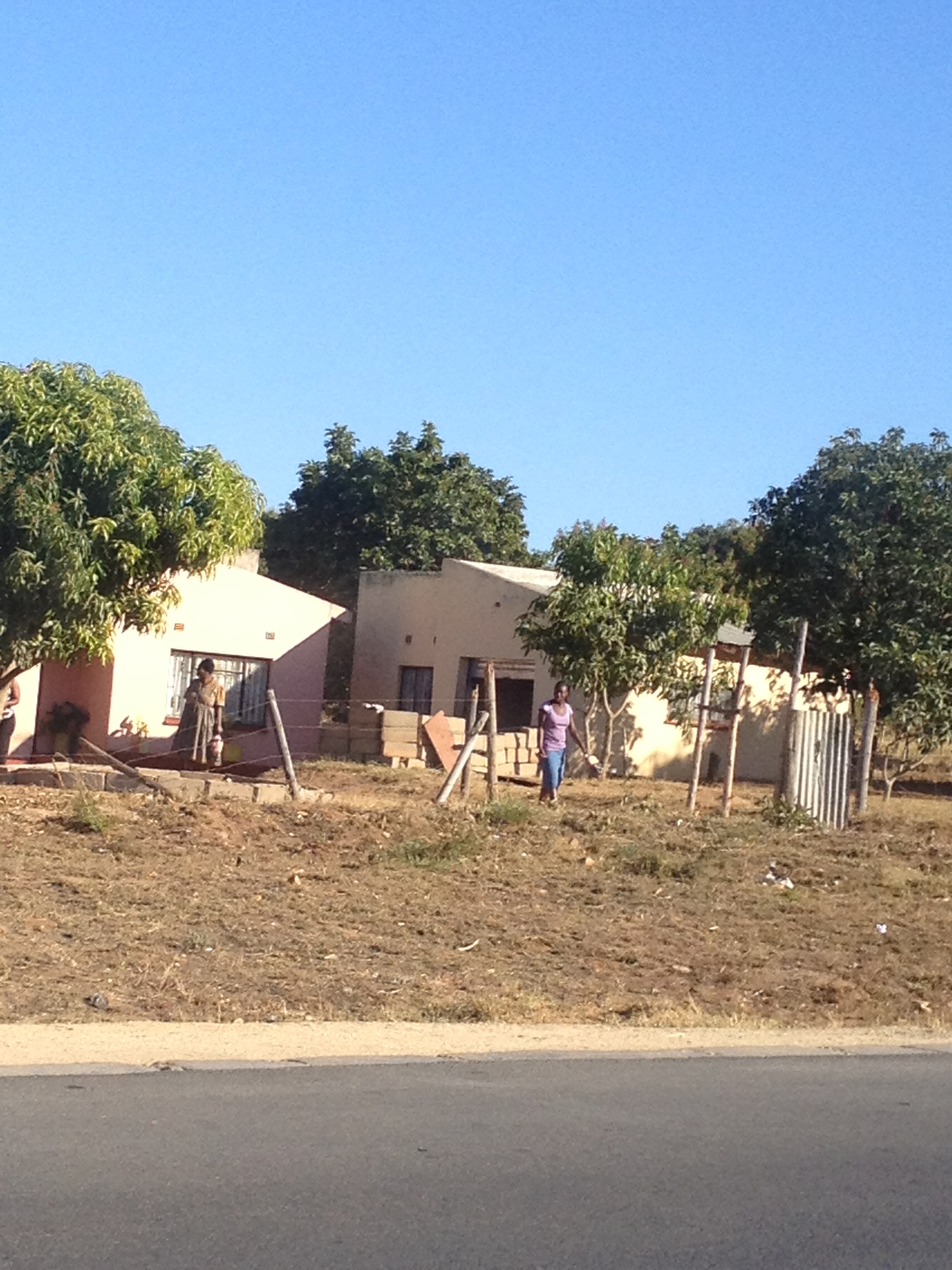
Bushbuckridge
Blue Haze Mall
Hazyview
Shiloh Coffee Estate
Singita Lebomo & Sweni
Singita Ebony Lodge
Royal Malewane
Nkaya Lodge
Lion Sands River Lodge
Sabi Sands Game Reserve
Lion Sands Game Reserve
Djuma Game Reserve
Sabie Park
Sabie Park
Kruger Gate - Skukuza Road
Skukuza
Recent Searches:
- Elevation of Corso Fratelli Cairoli, 35, Macerata MC, Italy
- Elevation of Tallevast Rd, Sarasota, FL, USA
- Elevation of 4th St E, Sonoma, CA, USA
- Elevation of Black Hollow Rd, Pennsdale, PA, USA
- Elevation of Oakland Ave, Williamsport, PA, USA
- Elevation of Pedrógão Grande, Portugal
- Elevation of Klee Dr, Martinsburg, WV, USA
- Elevation of Via Roma, Pieranica CR, Italy
- Elevation of Tavkvetili Mountain, Georgia
- Elevation of Hartfords Bluff Cir, Mt Pleasant, SC, USA