Elevation of Egremont Dr, Strathroy, ON N7G 3H3, Canada
Location: Canada > Ontario > Middlesex County >
Longitude: -81.556277
Latitude: 43.005023
Elevation: 249m / 817feet
Barometric Pressure: 98KPa
Elevation Map:
Satellite Map:
Related Photos:

My view, right now, w/@annewaterman. Time to chill out.
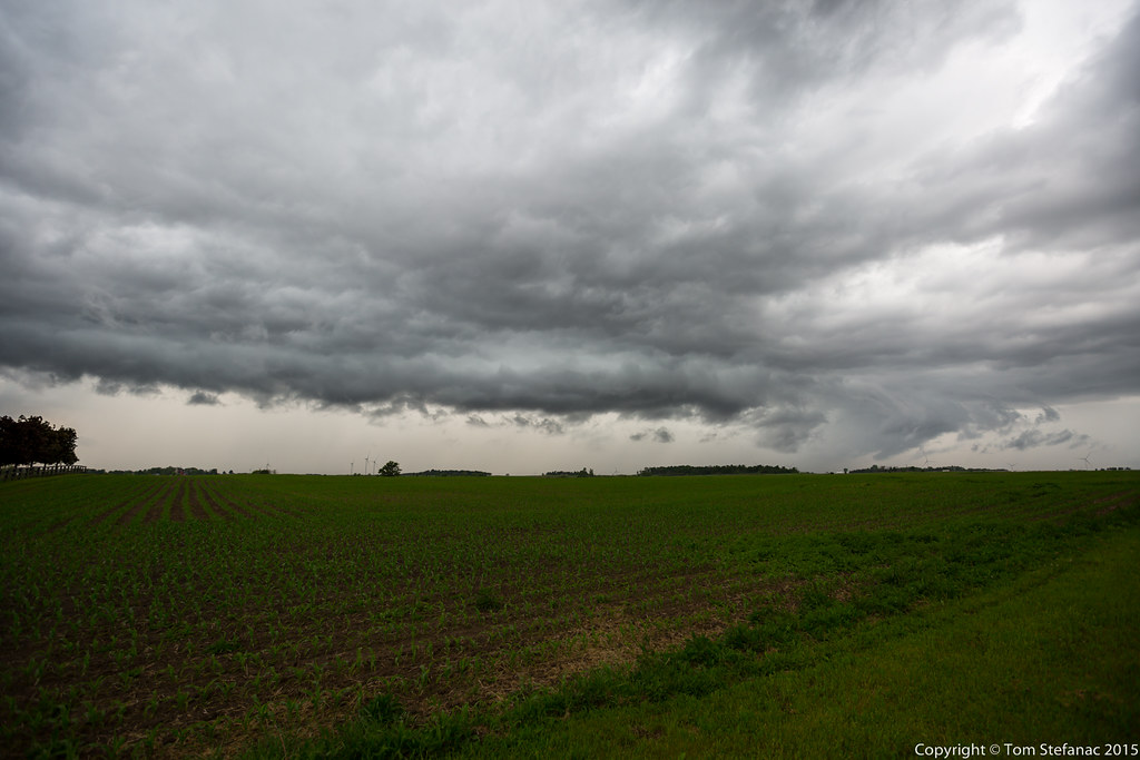
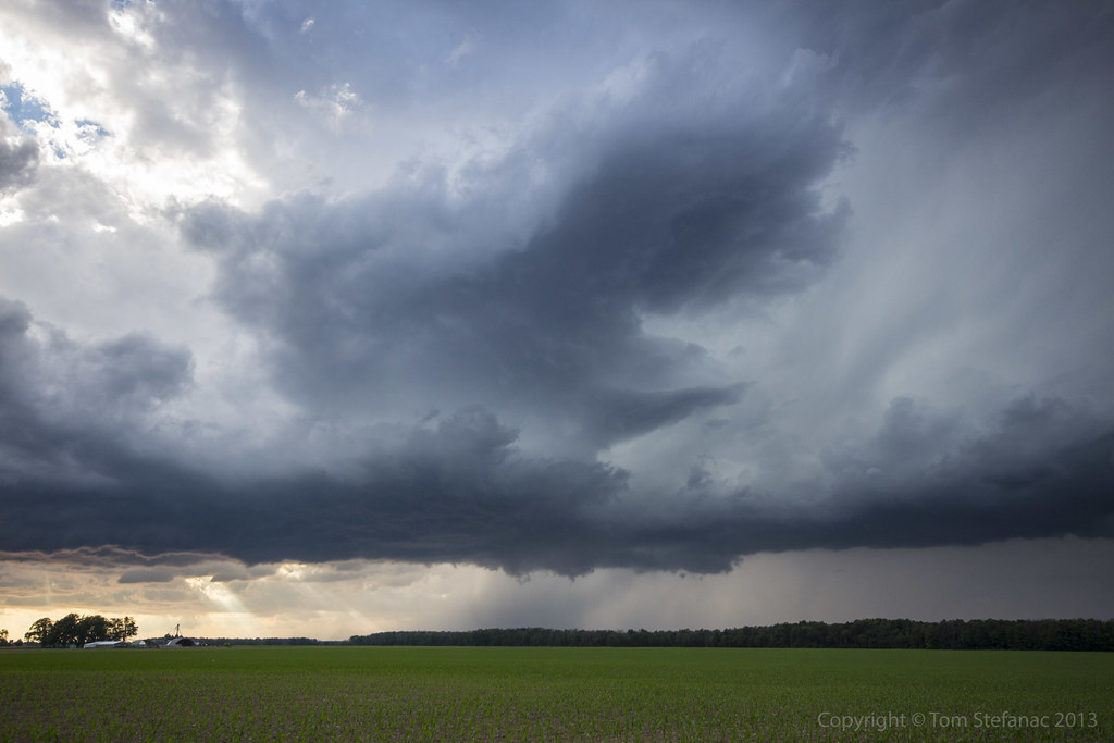
Storm 2

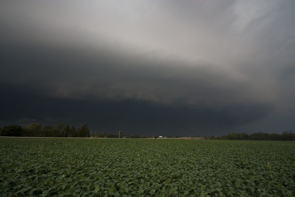
Outflow Boundary
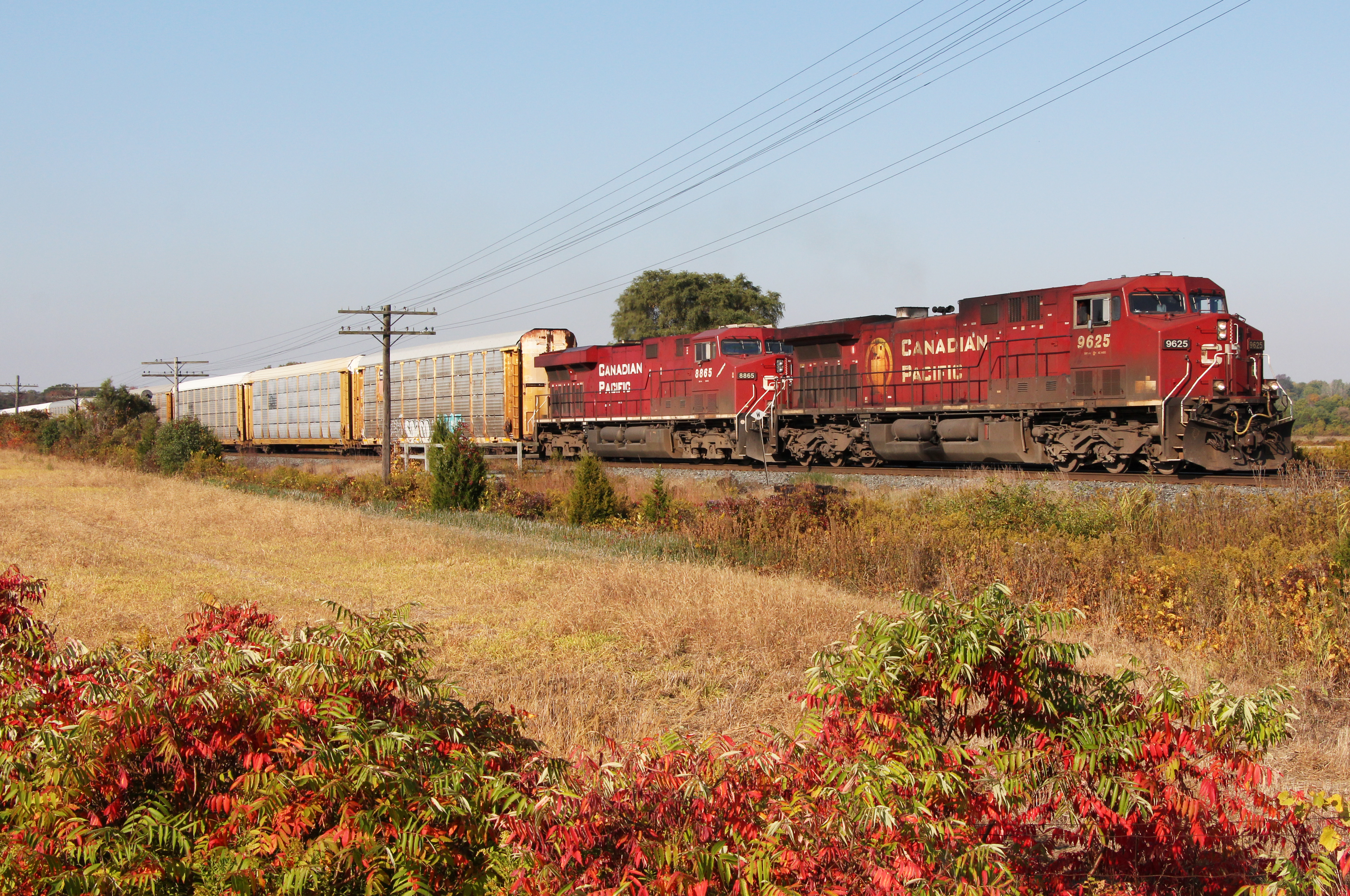
CP 9625
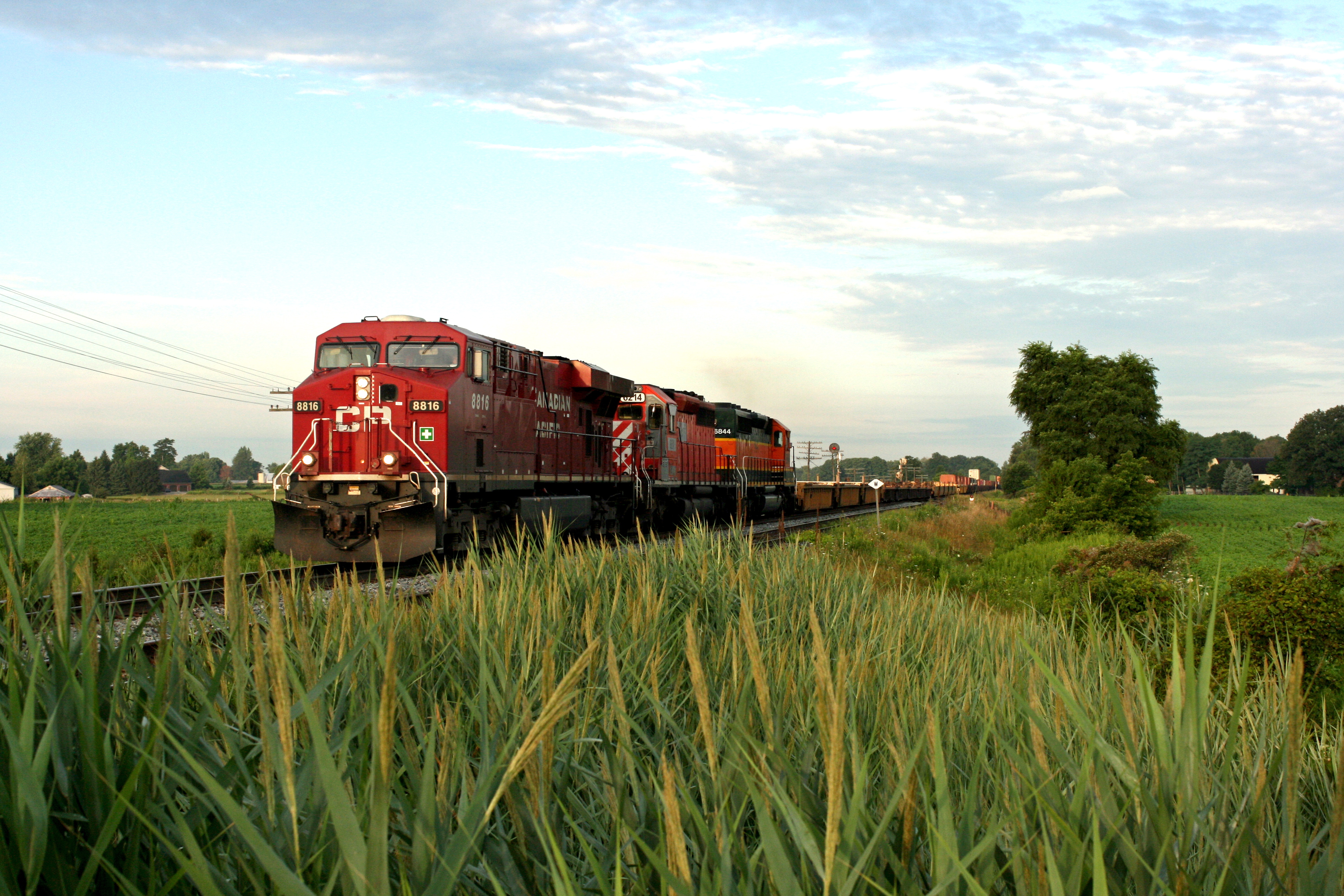
CP 8816
High Contrast
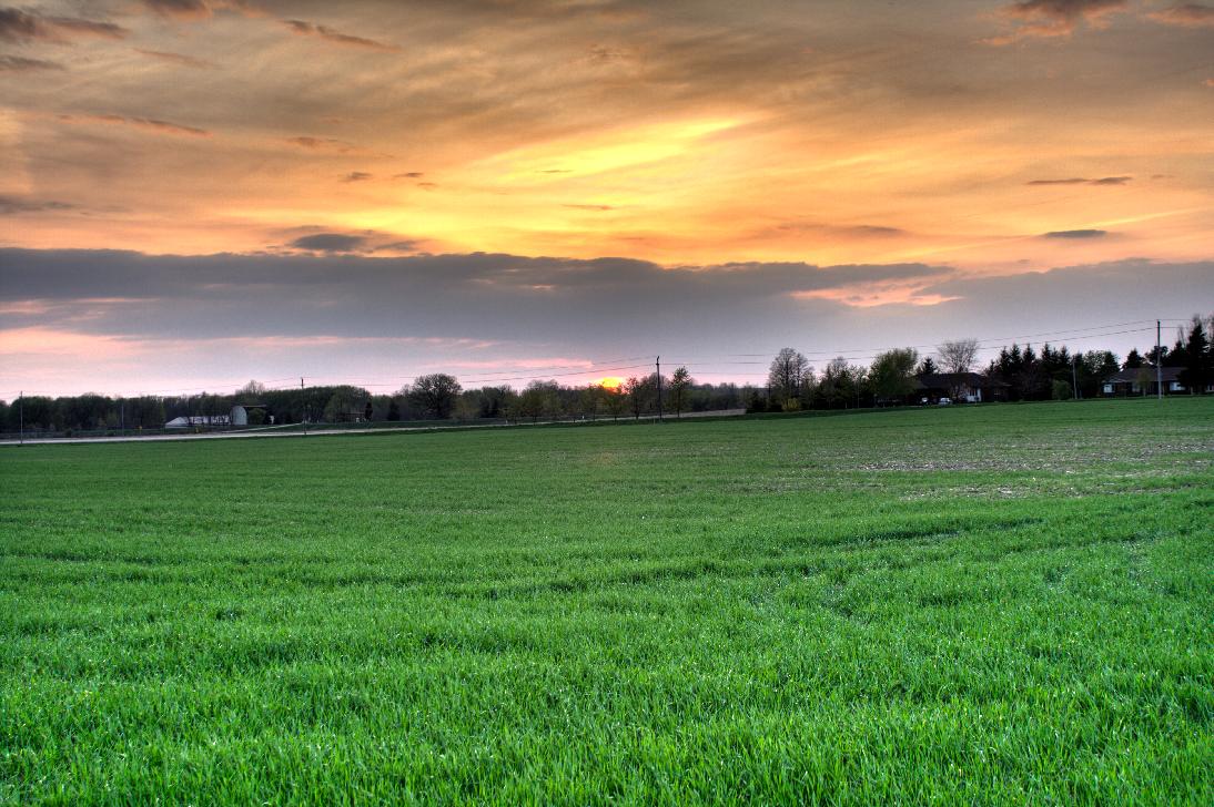
Sun set
20121014-IMG_2489.jpg
Scuddy Mess
Vaulted Region
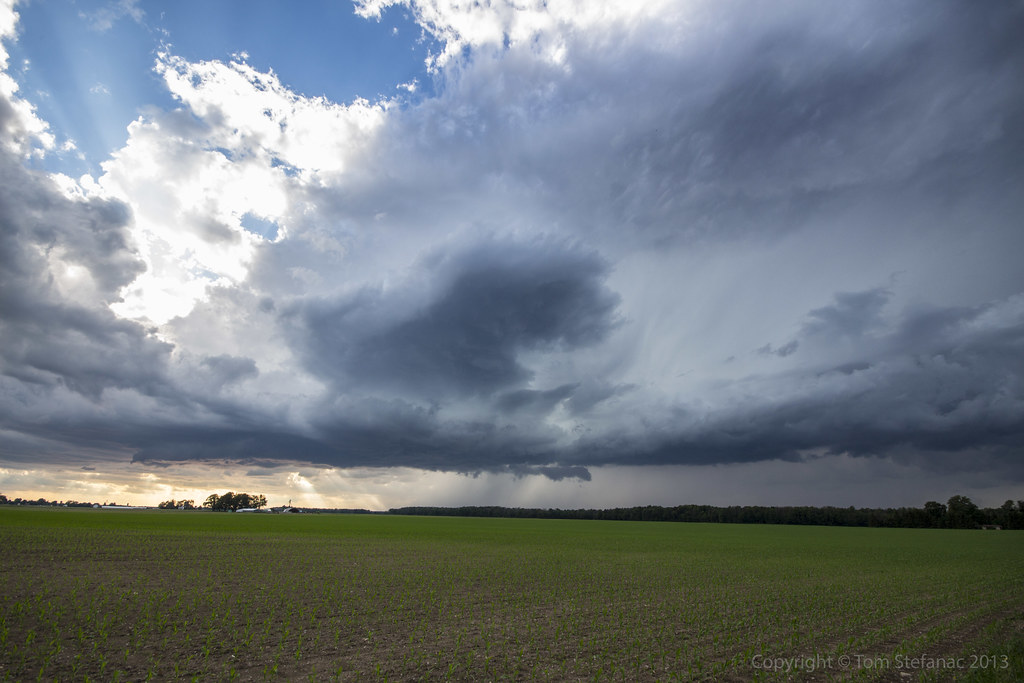
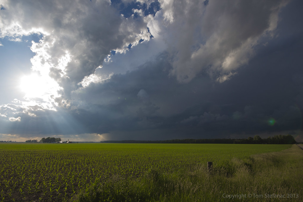
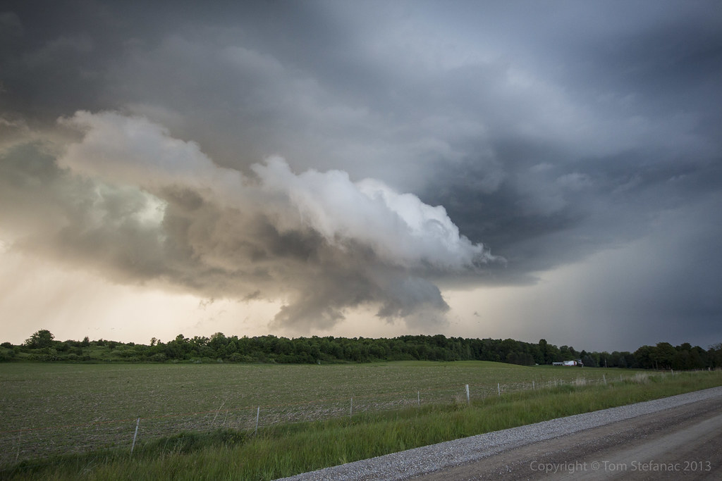
Storms Coming

Creeks are still flowing
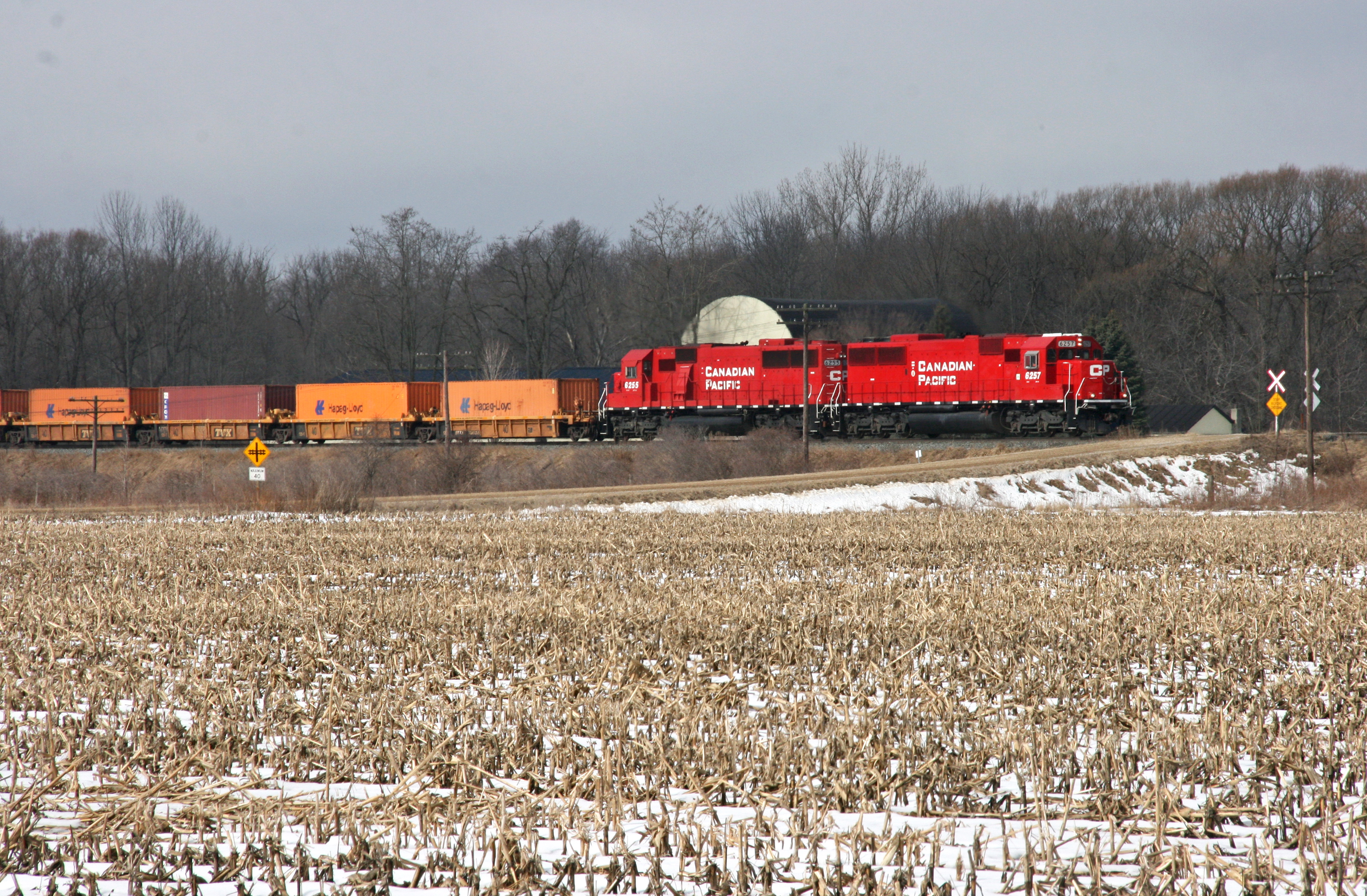
CP 6257
Nairn Supercell
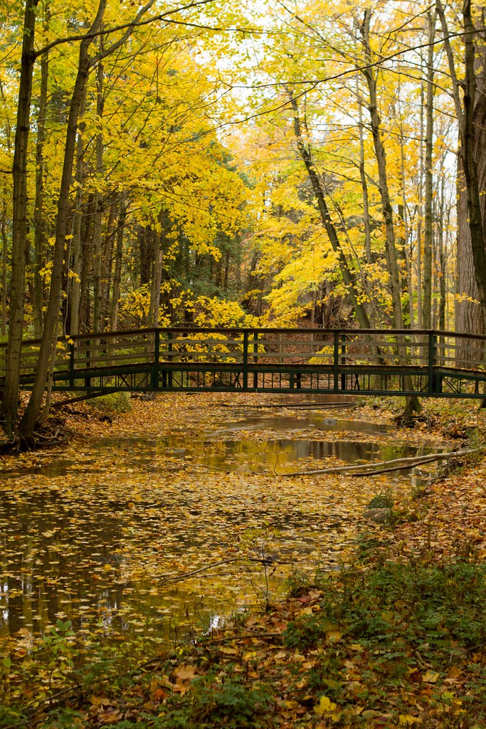
Coldstream Bridge
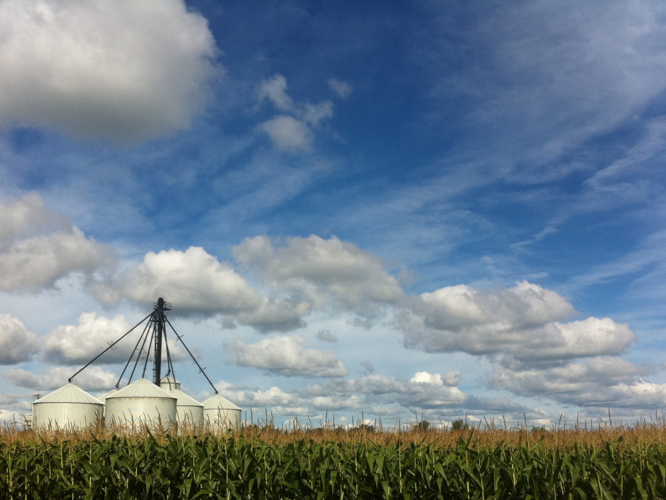
Corn World

LOPW-6549

LOPW-6560

Calico Pennant
DSC_5420.JPG
DSC_5297.JPG
LOPW-6550
Topographic Map of Egremont Dr, Strathroy, ON N7G 3H3, Canada
Find elevation by address:

Places near Egremont Dr, Strathroy, ON N7G 3H3, Canada:
25386 Coldstream Rd
10676 Hedley Dr
Strathroy-caradoc
Mount Brydges/warren Field Aerodrome
Mount Brydges
Middlesex Centre
Komoka
Komoka Rd, Middlesex Centre, ON N0L, Canada
Middlesex County
2538 Gideon Dr
2533 Gideon Dr
10627 Glendon Dr
Delaware
2680 Sunningdale Rd W
31 Wellington St
34 Beechnut St
Pulham Rd, Middlesex Centre, ON N0L, Canada
Old River Road
Middlesex County Road 2
13091 Eight Mile Rd
Recent Searches:
- Elevation of SW 57th Ave, Portland, OR, USA
- Elevation of Crocker Dr, Vacaville, CA, USA
- Elevation of Pu Ngaol Community Meeting Hall, HWHM+3X7, Krong Saen Monourom, Cambodia
- Elevation of Royal Ontario Museum, Queens Park, Toronto, ON M5S 2C6, Canada
- Elevation of Groblershoop, South Africa
- Elevation of Power Generation Enterprises | Industrial Diesel Generators, Oak Ave, Canyon Country, CA, USA
- Elevation of Chesaw Rd, Oroville, WA, USA
- Elevation of N, Mt Pleasant, UT, USA
- Elevation of 6 Rue Jules Ferry, Beausoleil, France
- Elevation of Sattva Horizon, 4JC6+G9P, Vinayak Nagar, Kattigenahalli, Bengaluru, Karnataka, India