Elevation of Coldstream Rd, Denfield, ON N0M 1P0, Canada
Location: Canada > Ontario > Middlesex County > Middlesex Centre > Denfield >
Longitude: -81.534835
Latitude: 43.0564936
Elevation: 249m / 817feet
Barometric Pressure: 98KPa
Elevation Map:
Satellite Map:
Related Photos:

1998 05-24 0825-2 CP SD40-2-5592 E/B Hyde Park, ON

1998 05-24 0825-1 CP SD40-2-5592 E/B Hyde Park, ON

1998 05-24 0905-2 CN GP40-2LW-9416 E/B 144 Hyde Park, ON

1998 05-24 0905-1 CN GP40-2LW-9416 EB 144 Hyde Park, ON
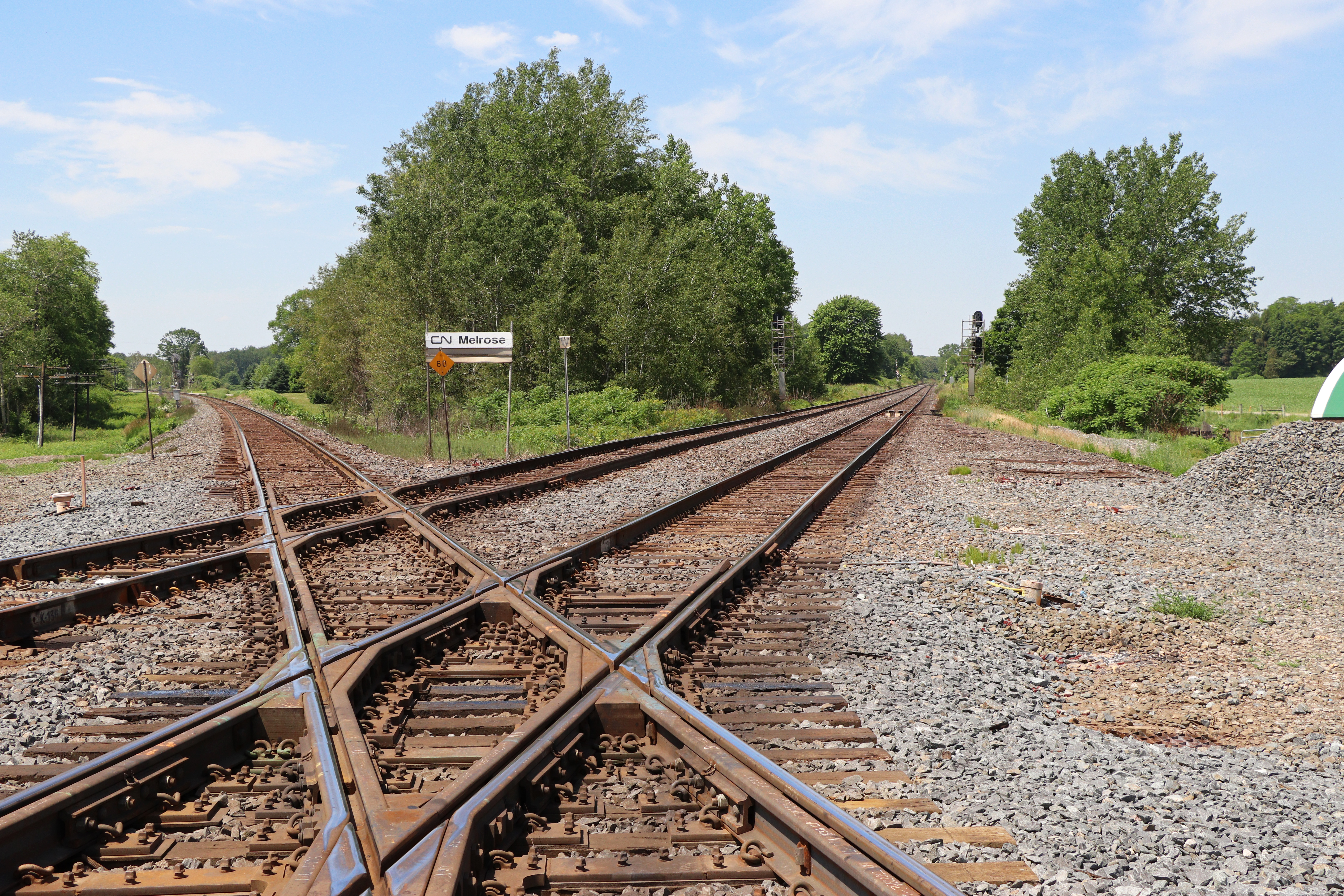
Melrose Diamond

My view, right now, w/@annewaterman. Time to chill out.

VIA 6429
Vaulted Region

High Contrast
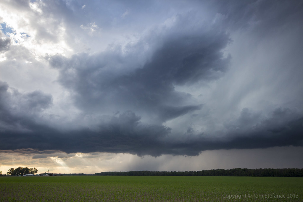
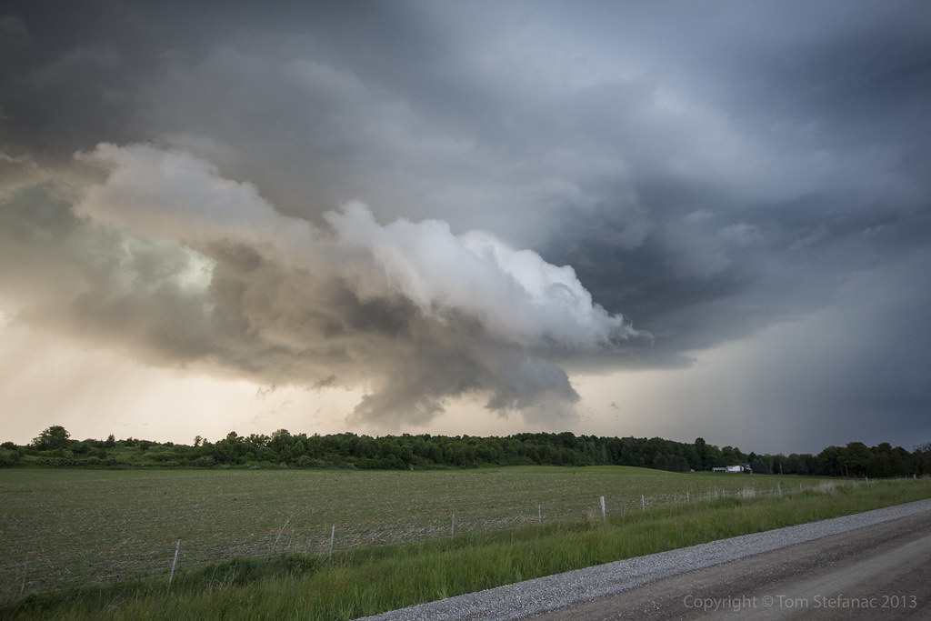
Storms Coming

CEFX 1056

VIA 906

CN 2180

Sun set

LOPW-6549
Lucan, Ontario

LOPW-6550

LOPW-6560

Komoka Sunset
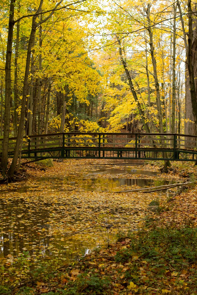
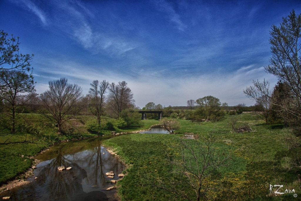
Coldstream Bridge
Scuddy Mess

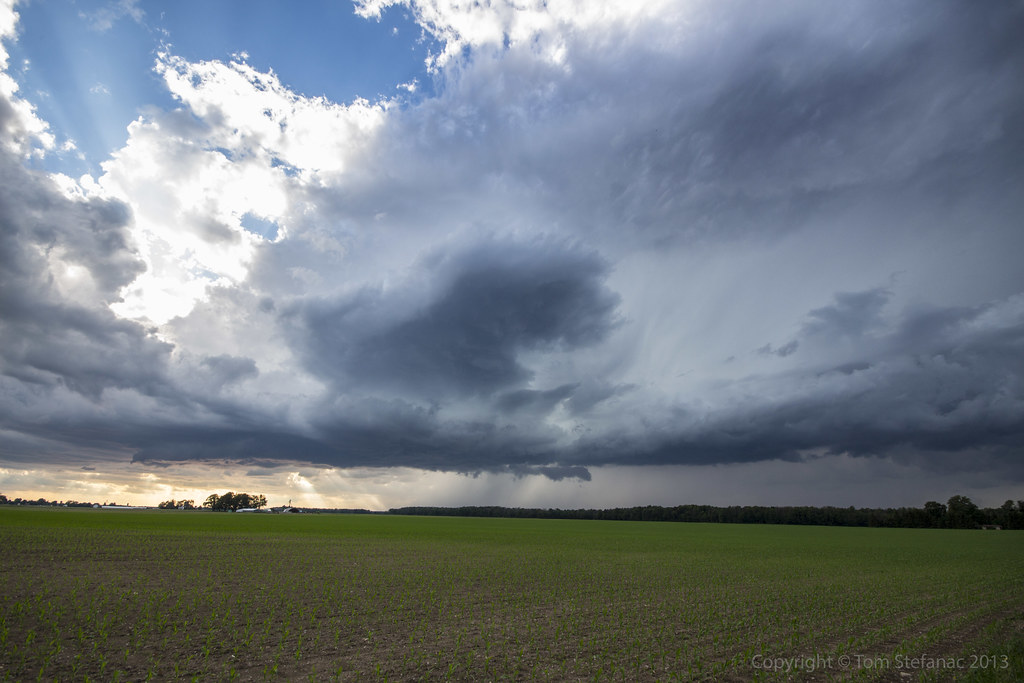
Nairn Supercell

CP 6257

MONOCHROME 014

Komoka Sunset

Corn World

CP 8785
Topographic Map of Coldstream Rd, Denfield, ON N0M 1P0, Canada
Find elevation by address:

Places near Coldstream Rd, Denfield, ON N0M 1P0, Canada:
10676 Hedley Dr
Egremont Dr, Strathroy, ON N7G 3H3, Canada
Middlesex Centre
Mount Brydges/warren Field Aerodrome
Komoka
Komoka Rd, Middlesex Centre, ON N0L, Canada
Mount Brydges
2680 Sunningdale Rd W
Strathroy-caradoc
13091 Eight Mile Rd
13098 Eight Mile Rd
Middlesex County
10627 Glendon Dr
Pulham Rd, Middlesex Centre, ON N0L, Canada
34 Beechnut St
Old River Road
2538 Gideon Dr
2533 Gideon Dr
Delaware
31 Wellington St
Recent Searches:
- Elevation of 7 Waterfall Way, Tomball, TX, USA
- Elevation of SW 57th Ave, Portland, OR, USA
- Elevation of Crocker Dr, Vacaville, CA, USA
- Elevation of Pu Ngaol Community Meeting Hall, HWHM+3X7, Krong Saen Monourom, Cambodia
- Elevation of Royal Ontario Museum, Queens Park, Toronto, ON M5S 2C6, Canada
- Elevation of Groblershoop, South Africa
- Elevation of Power Generation Enterprises | Industrial Diesel Generators, Oak Ave, Canyon Country, CA, USA
- Elevation of Chesaw Rd, Oroville, WA, USA
- Elevation of N, Mt Pleasant, UT, USA
- Elevation of 6 Rue Jules Ferry, Beausoleil, France