Elevation of Echo Ln, Acme, PA, USA
Location: United States > Pennsylvania > Westmoreland County > Mount Pleasant Township > Acme >
Longitude: -79.426605
Latitude: 40.1224949
Elevation: 571m / 1873feet
Barometric Pressure: 95KPa
Elevation Map:
Satellite Map:
Related Photos:
West Overton Village, Scottdale, PA
Ruff house, Ruffsdale, PA.
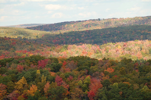
Overview of Seven Springs area
Pennsylvania Coke Ovens
Old Garage
Laurel Highlands Church

There's my Camera when I needed it

White Hibiscus 2
Seven Springs
Nice view at the top of Hidden Valley
Seven Springs

Pennsylvania Cottage
View of Laurel Ridge from Normalville Cemetery
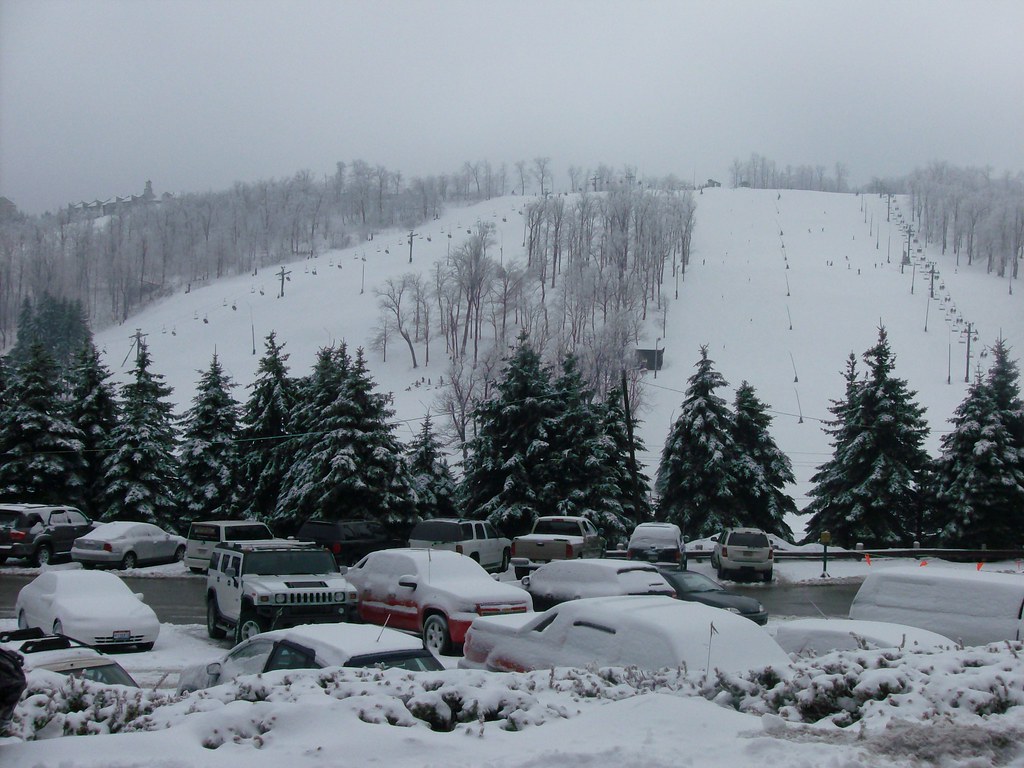
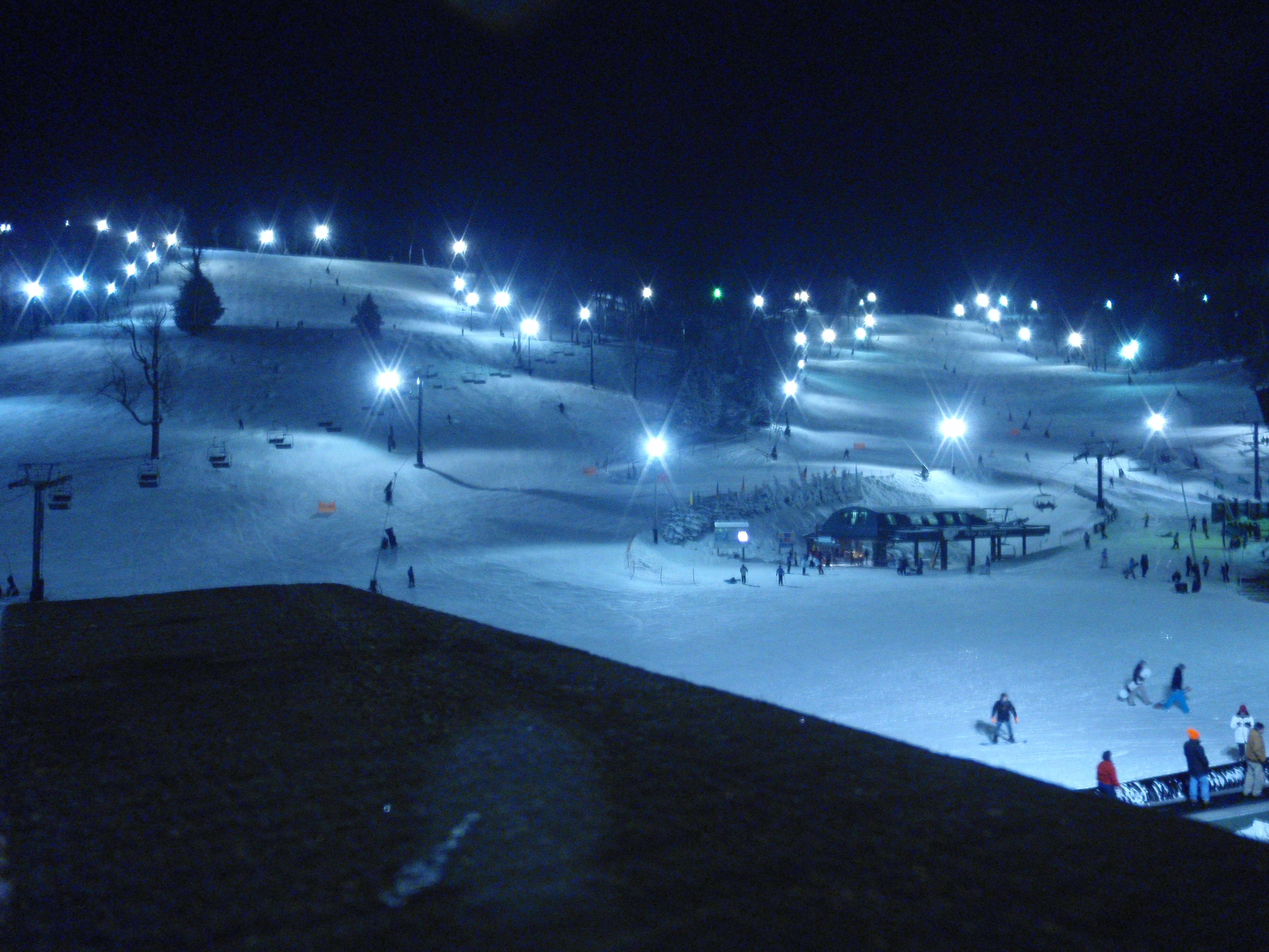
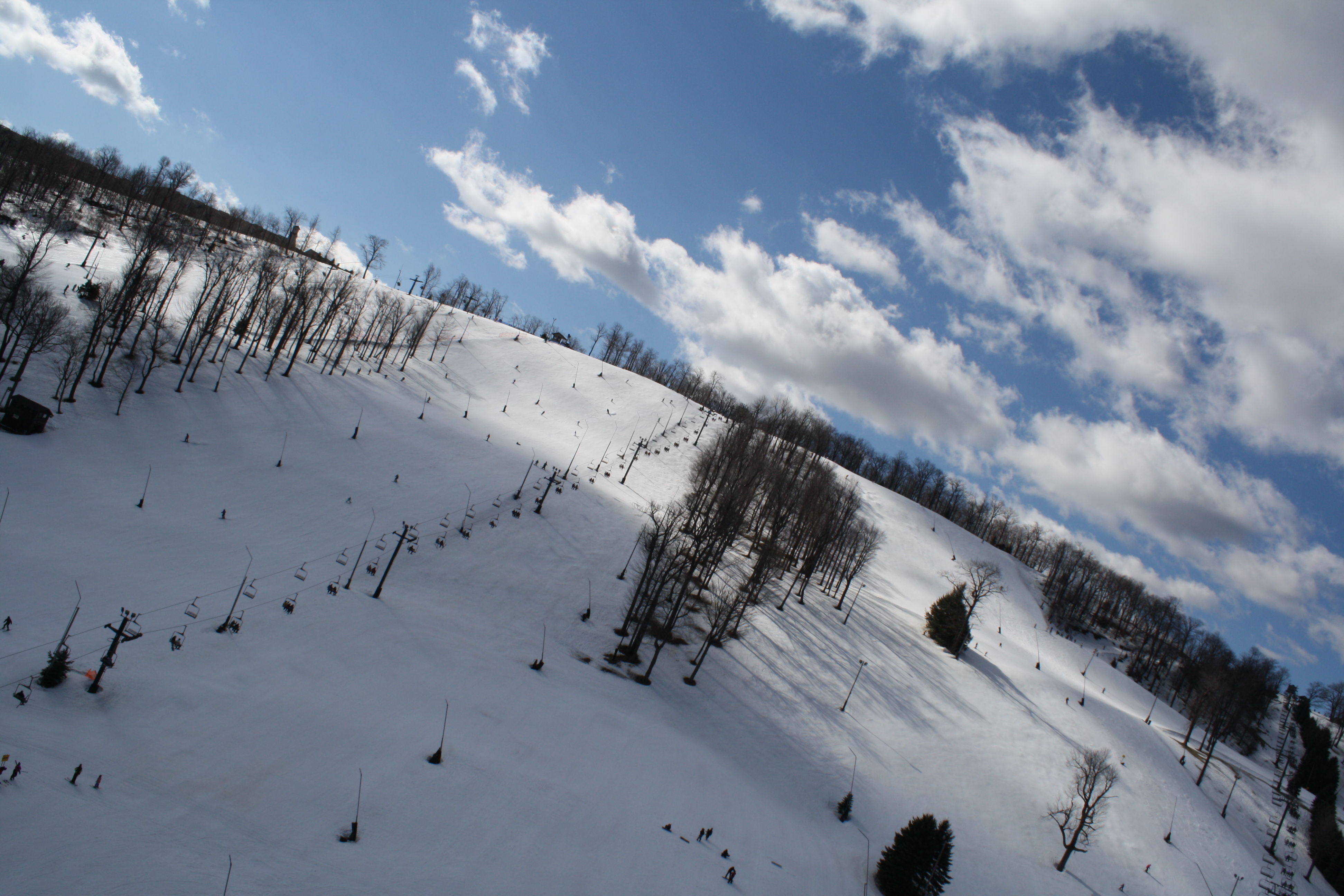
The Slopes

Neko 5
Fantastic view of seven springs mountain resort! #rbya #wintercamp13 @romanianbaptist @7_springs
A view from the hot tub at Seven Springs
Shah Leadership 2013

Little known fact: there is a 120-mile-long black hole in the middle of Pennsylvania!
Iphone pics 192

DSC_2025.jpg
Seven Springs 3

Watercress pond

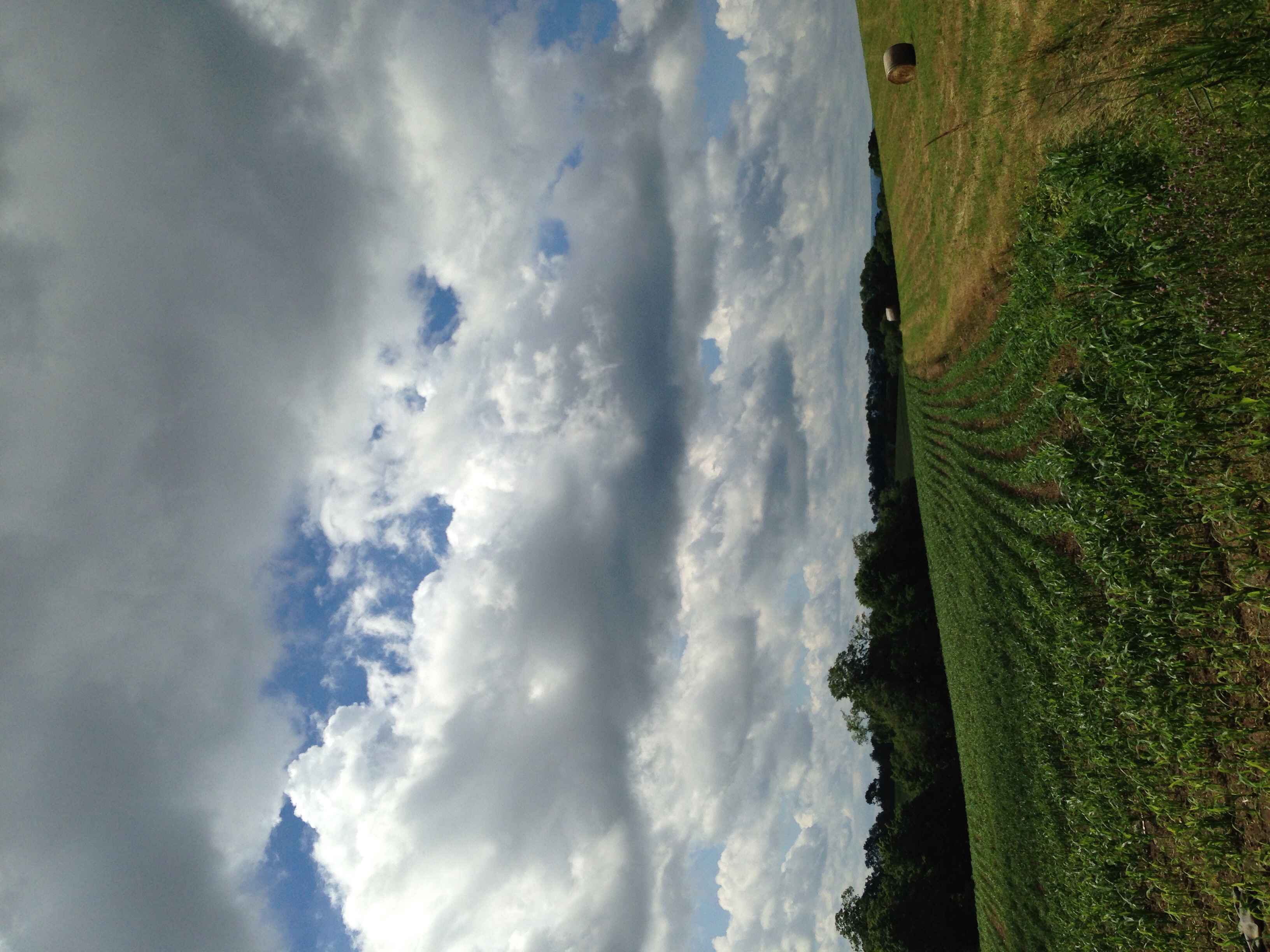
Farm Near Donegal

On the LHHT, between mile 19 and 24.
Seven Springs 0902
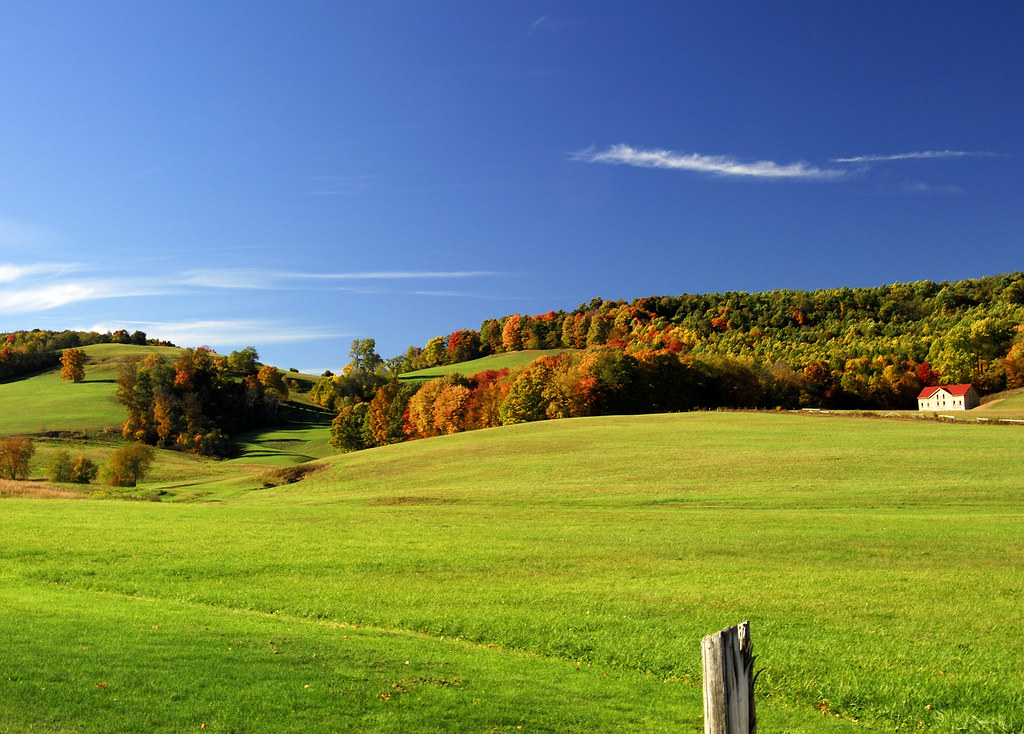
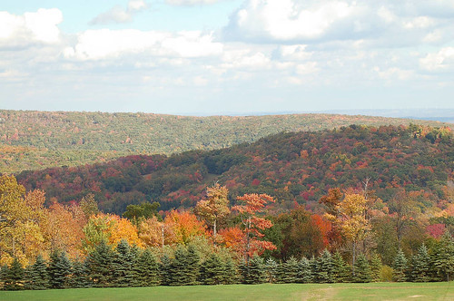
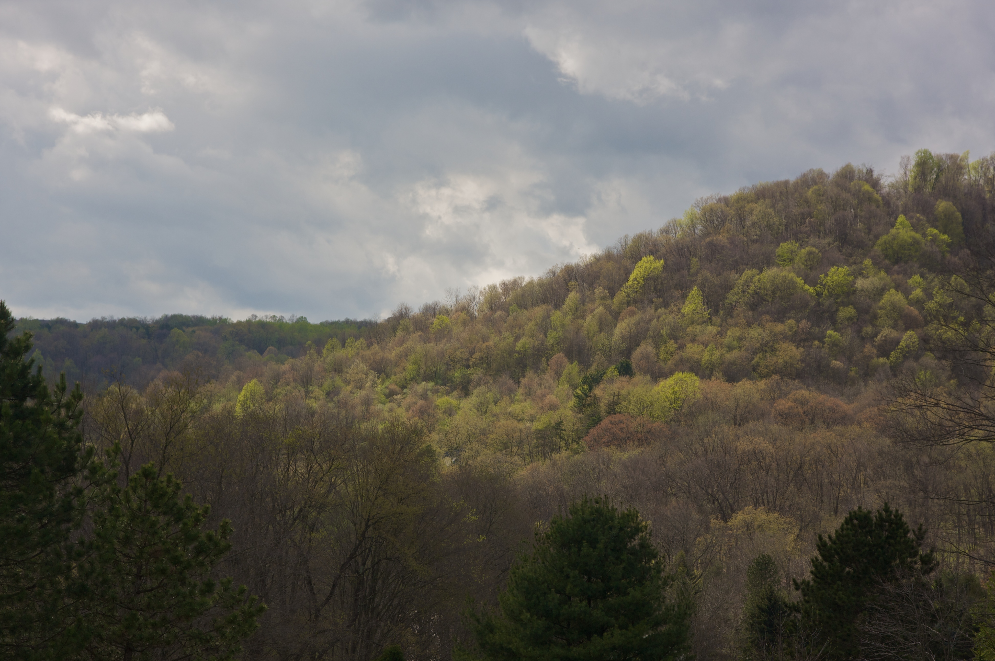
Fall Colors Near Donegal
Rock close up
Seven Springs 8
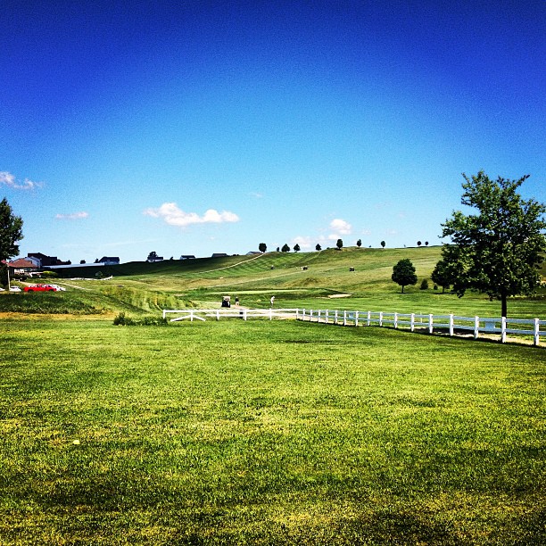
Day drinking with the family is fantastic. I could get used to this not working thing... #golfcourse #summer #sky #grass #green #instagood #iphonesia #photooftheday
20060210Troop110SevenSpringsSkiTrip (17)

Goose Family

Scenic Walk
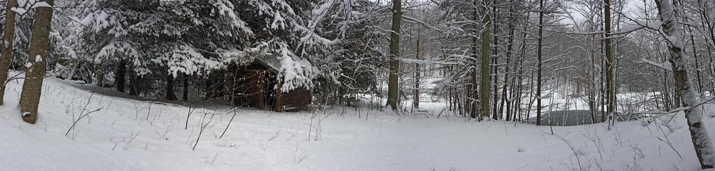
Spring House Panorama
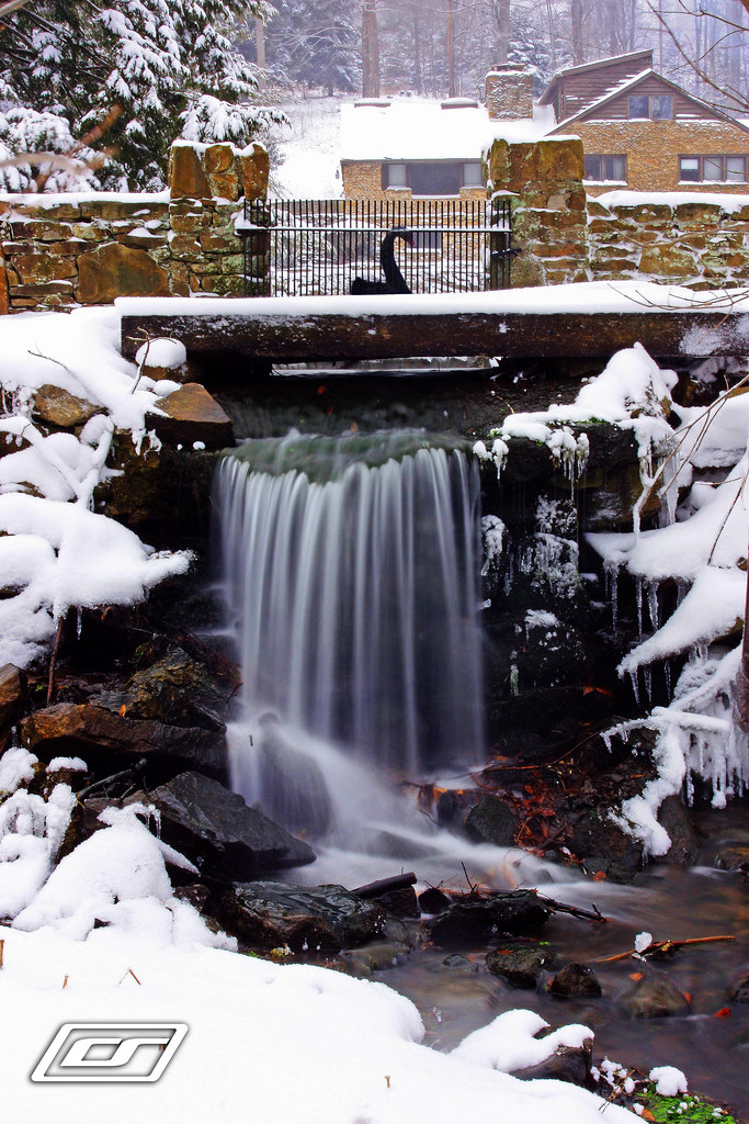
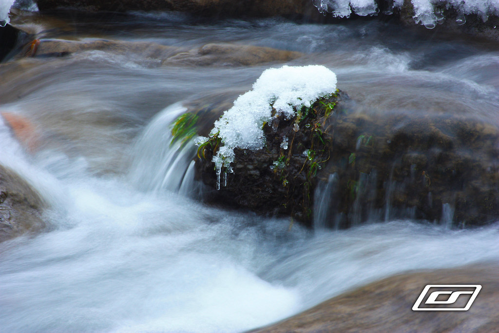
Waterfall at the cabin
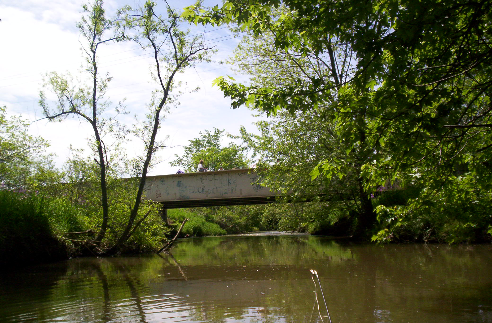
Overholt Bridge
Spring is starting
Topographic Map of Echo Ln, Acme, PA, USA
Find elevation by address:

Places near Echo Ln, Acme, PA, USA:
Acme
2089 Miller Church Rd
Austin Blvd, Acme, PA, USA
201 Rock Canyon Rd
180 Evergreen Ln
159 Evergreen Ln
Polymath Park
154 Victorian Lady Ln
Dillon Road
173 Red Dog Rd
Holiday Inn Express & Suites Donegal
3695 Pa-31
505 Dillon Rd
233 Old Distillery Rd
Stahlstown
153 Monticue Dr
4243 Pa-130
257 Bethel Church Rd
Greystone Lane
233 Old Rte 711
Recent Searches:
- Elevation of Lampiasi St, Sarasota, FL, USA
- Elevation of Elwyn Dr, Roanoke Rapids, NC, USA
- Elevation of Congressional Dr, Stevensville, MD, USA
- Elevation of Bellview Rd, McLean, VA, USA
- Elevation of Stage Island Rd, Chatham, MA, USA
- Elevation of Shibuya Scramble Crossing, 21 Udagawacho, Shibuya City, Tokyo -, Japan
- Elevation of Jadagoniai, Kaunas District Municipality, Lithuania
- Elevation of Pagonija rock, Kranto 7-oji g. 8"N, Kaunas, Lithuania
- Elevation of Co Rd 87, Jamestown, CO, USA
- Elevation of Tenjo, Cundinamarca, Colombia