Elevation of East Side Day Care & Learning, Old Siam Rd, Elizabethton, TN, USA
Location: United States > Tennessee > Carter County > Elizabethton >
Longitude: -82.199353
Latitude: 36.34047
Elevation: -10000m / -32808feet
Barometric Pressure: 295KPa
Elevation Map:
Satellite Map:
Related Photos:

Watching the Game

Buffalo Mountain Sunset_-1643-Edit

My view - what are you looking at right now?
Watauga Lake, Carter County, TN

Buffalo Pano

The view
Parents view.

Storefronts of Historic Elizabethton - Barnes Boring Hardware

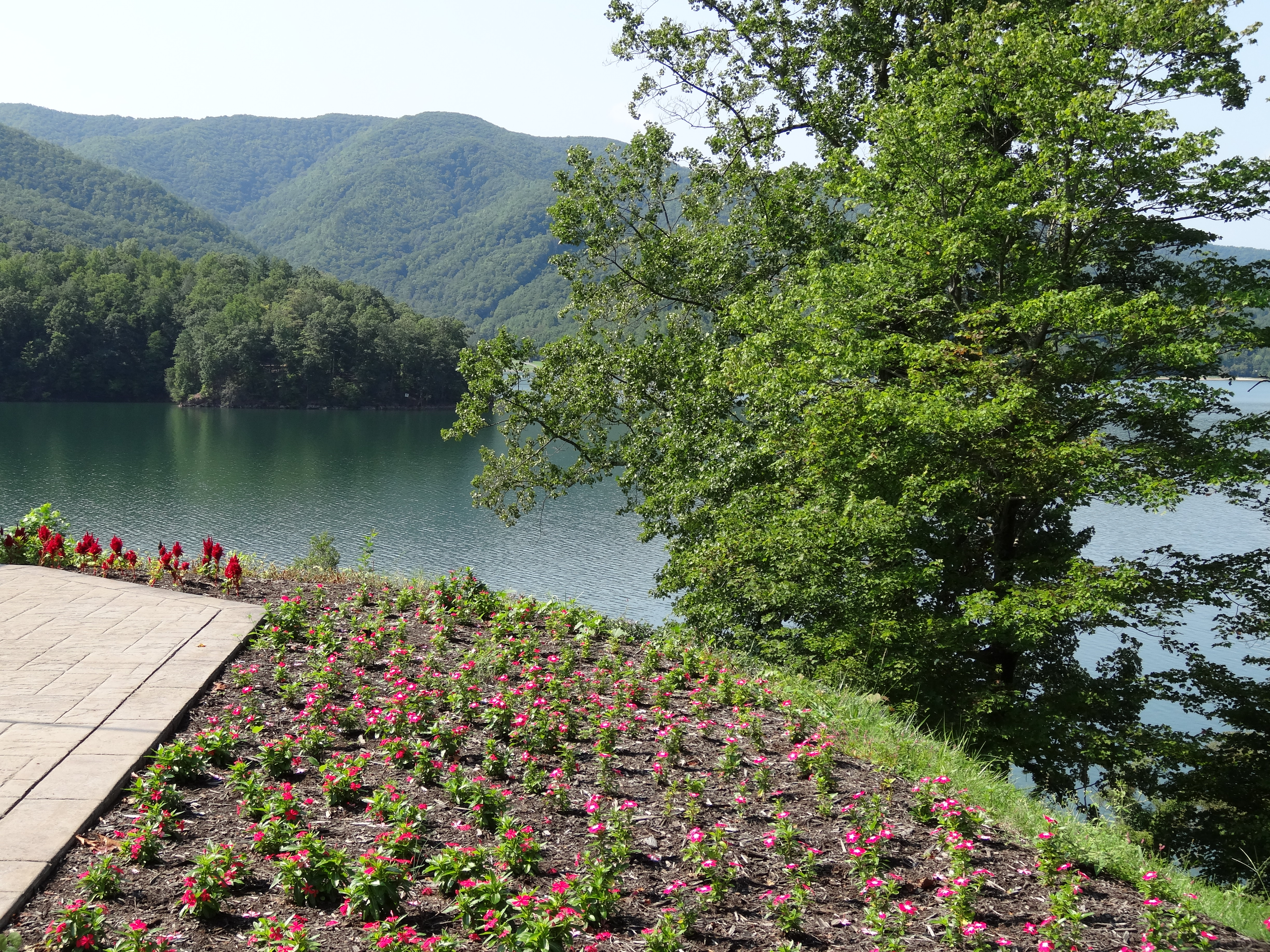
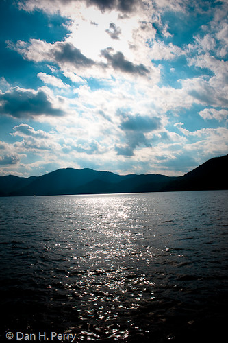
Watauga Lake

Scenic View #2

Johnson City Country Club
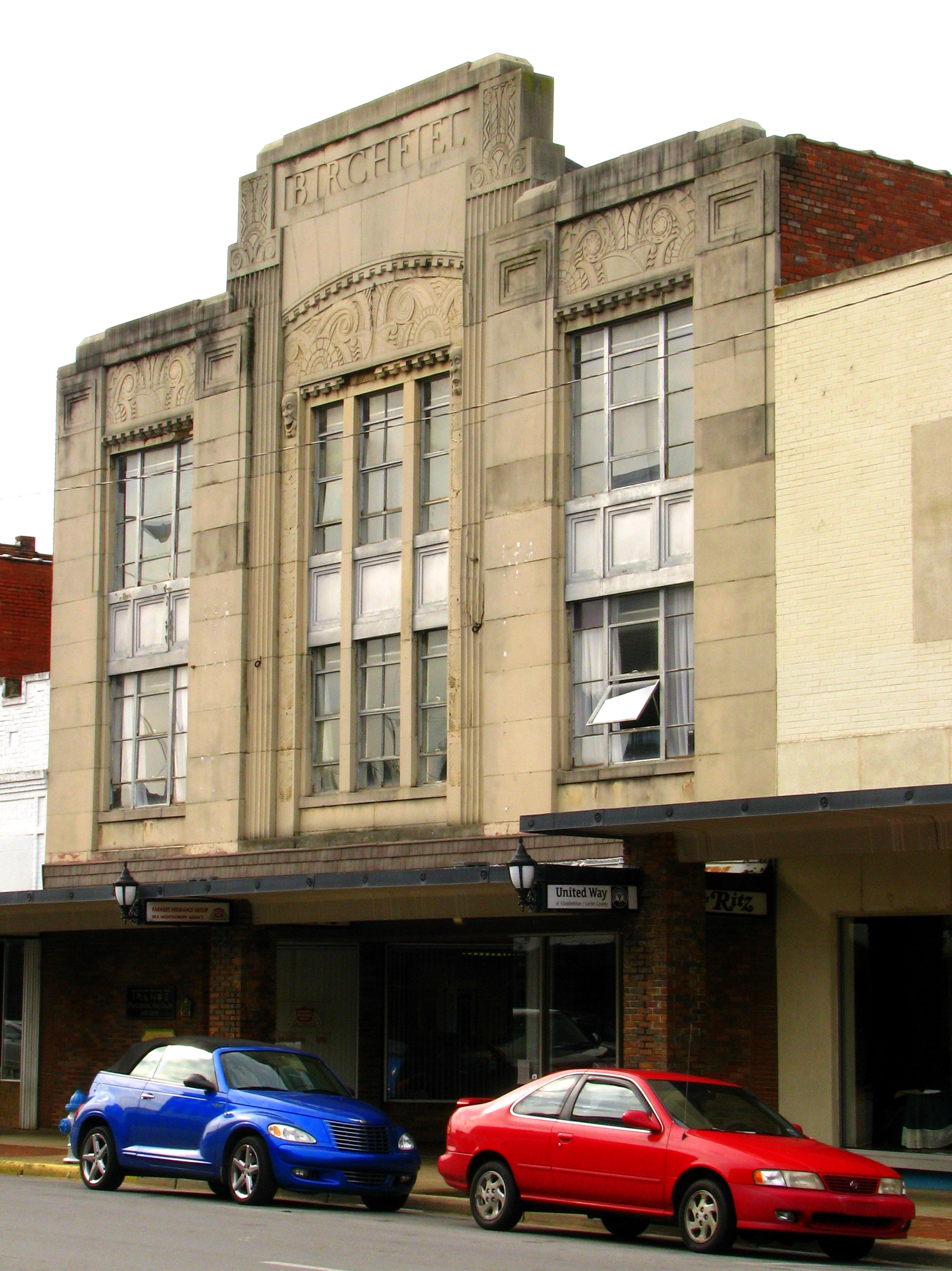
Birchfiel Building (Ritz Theater)

Watauga Lake, Carter County, TN3
myspace 022

View from Vandeventer Shelter

View from Vandeventer Shelter

IMG_5044- Lake Watauga- view across to Shook Branch

Appalachian Trail

Watauga Lake, Carter County, TN

AT Hike Sony 064

Watauga Lake Dam

Watauga Lake

Pine Oaks Golf Course
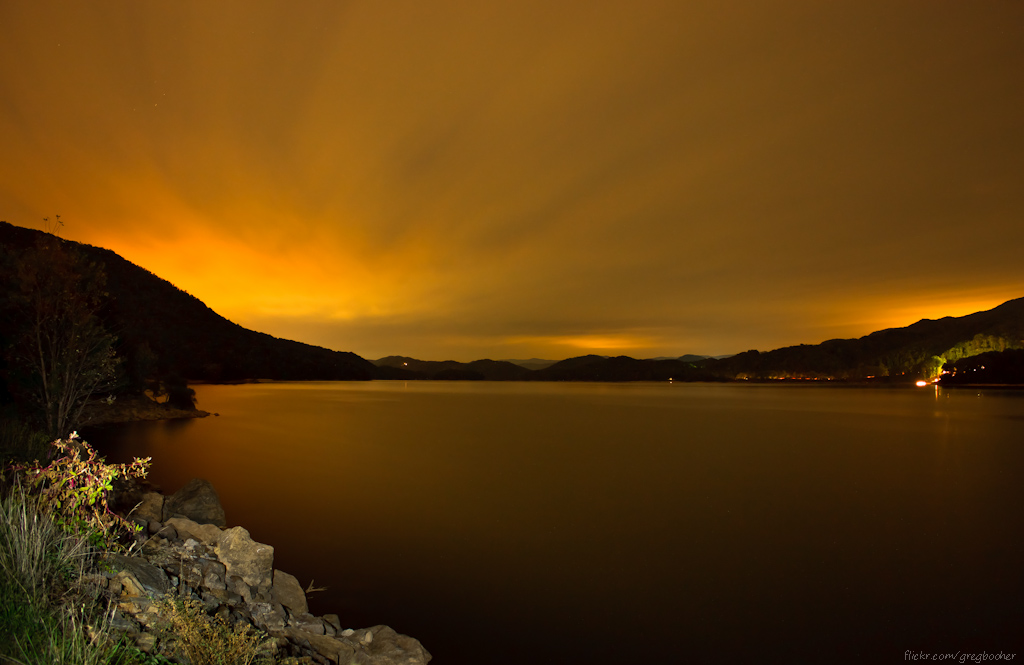
Watauga Lake at Night
2009_07_03_9996_WatuagaLake-3
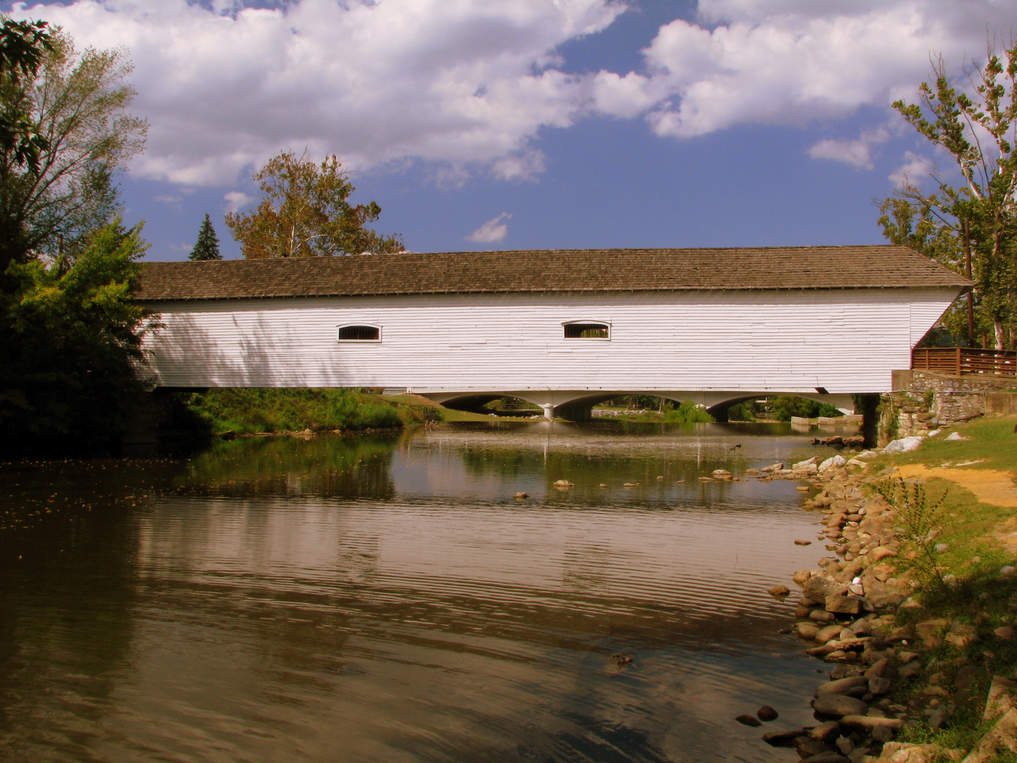
Doe River Covered Bridge

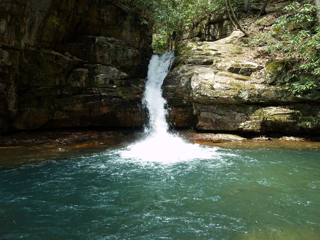
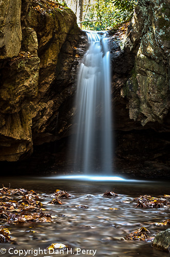
The Blue Hole
The Blue Hole

The Blue Hole

Blue Hole in the Snow
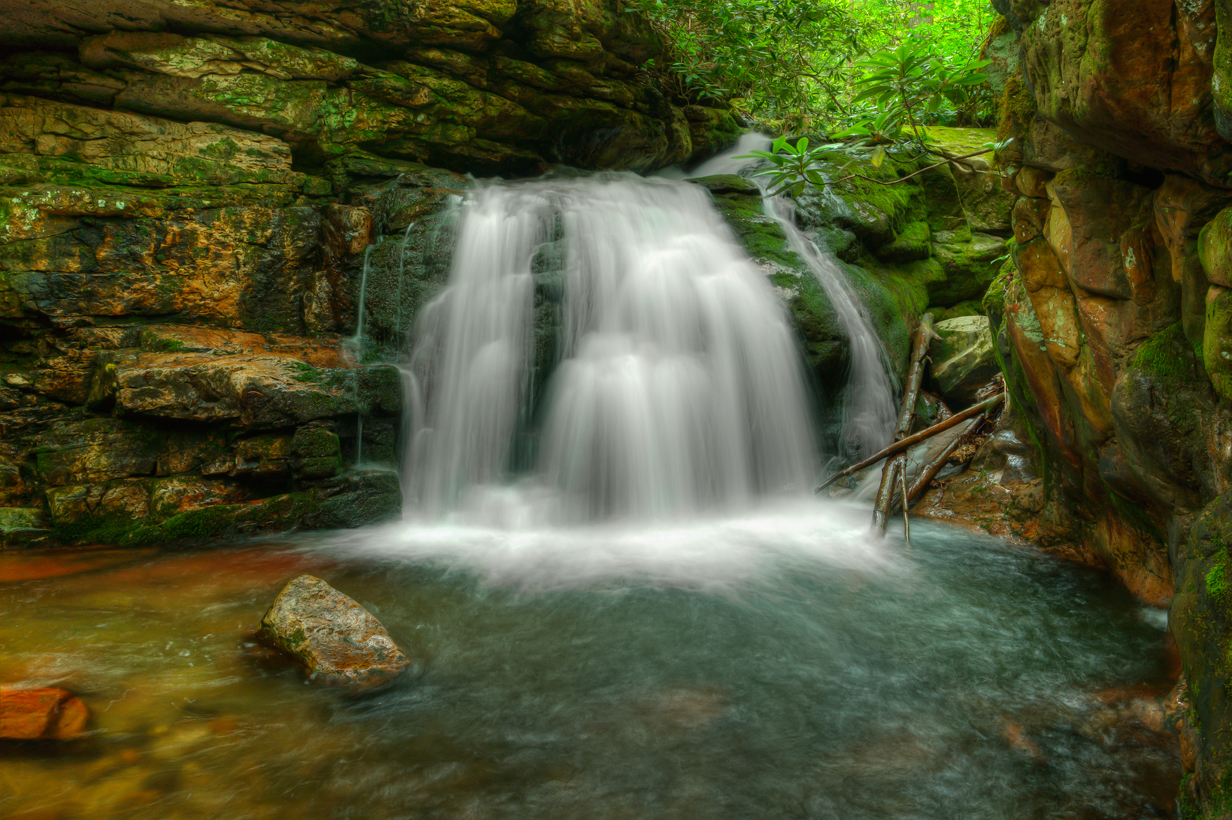
Blue Hole Falls
2012_10_21_8304_Blue_Hole-Edit

Blue Hole1
Topographic Map of East Side Day Care & Learning, Old Siam Rd, Elizabethton, TN, USA
Find elevation by address:

Places near East Side Day Care & Learning, Old Siam Rd, Elizabethton, TN, USA:
936 Charlie St
Cody Avenue
1025 Dejarnette St
1219 Ledford St
805 S Riverside Dr
900 Pine Ridge Cir
829 E Elk Ave
Elizabethton
705 Johnson Ave
Cherry Street
142 Messimer Ln
115 Ruby Ave
102 Old Stateline Rd
728 S Watauga Ave
Russell Hill Rd, Elizabethton, TN, USA
130 Rainbolt Ln
122 Independence Ln
2530 Bob Little Rd
147 Avon Ave
108 Joan Ann Rd
Recent Searches:
- Elevation of Elwyn Dr, Roanoke Rapids, NC, USA
- Elevation of Congressional Dr, Stevensville, MD, USA
- Elevation of Bellview Rd, McLean, VA, USA
- Elevation of Stage Island Rd, Chatham, MA, USA
- Elevation of Shibuya Scramble Crossing, 21 Udagawacho, Shibuya City, Tokyo -, Japan
- Elevation of Jadagoniai, Kaunas District Municipality, Lithuania
- Elevation of Pagonija rock, Kranto 7-oji g. 8"N, Kaunas, Lithuania
- Elevation of Co Rd 87, Jamestown, CO, USA
- Elevation of Tenjo, Cundinamarca, Colombia
- Elevation of Côte-des-Neiges, Montreal, QC H4A 3J6, Canada