Elevation of Joan Ann Rd, Elizabethton, TN, USA
Location: United States > Tennessee > Carter County > Elizabethton >
Longitude: -82.174527
Latitude: 36.3303304
Elevation: 554m / 1818feet
Barometric Pressure: 95KPa
Elevation Map:
Satellite Map:
Related Photos:
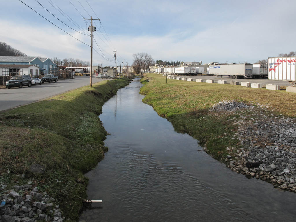
Ah the treelessness of the urban waters of Brush Creek in Johnson City, on full view.
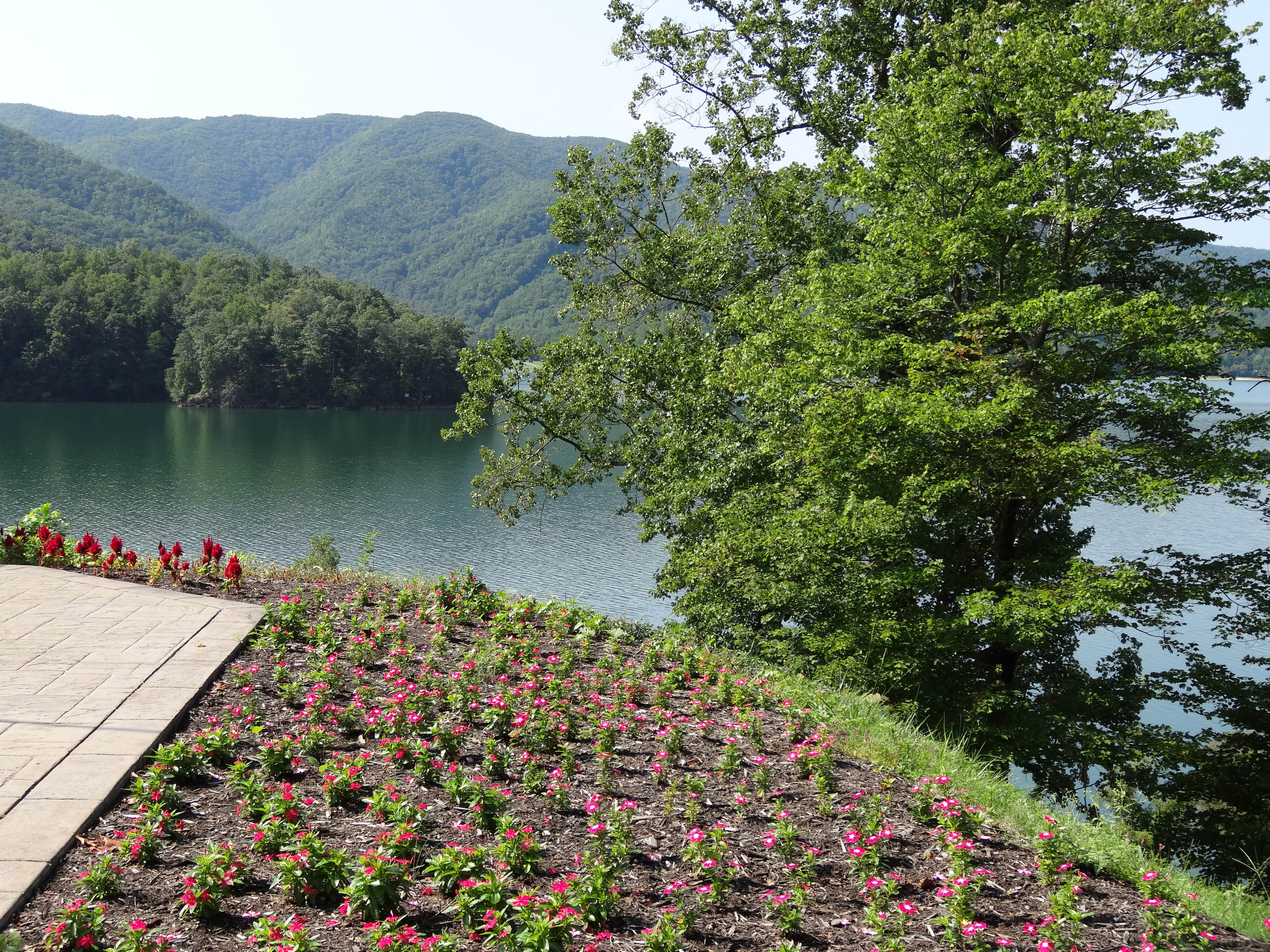
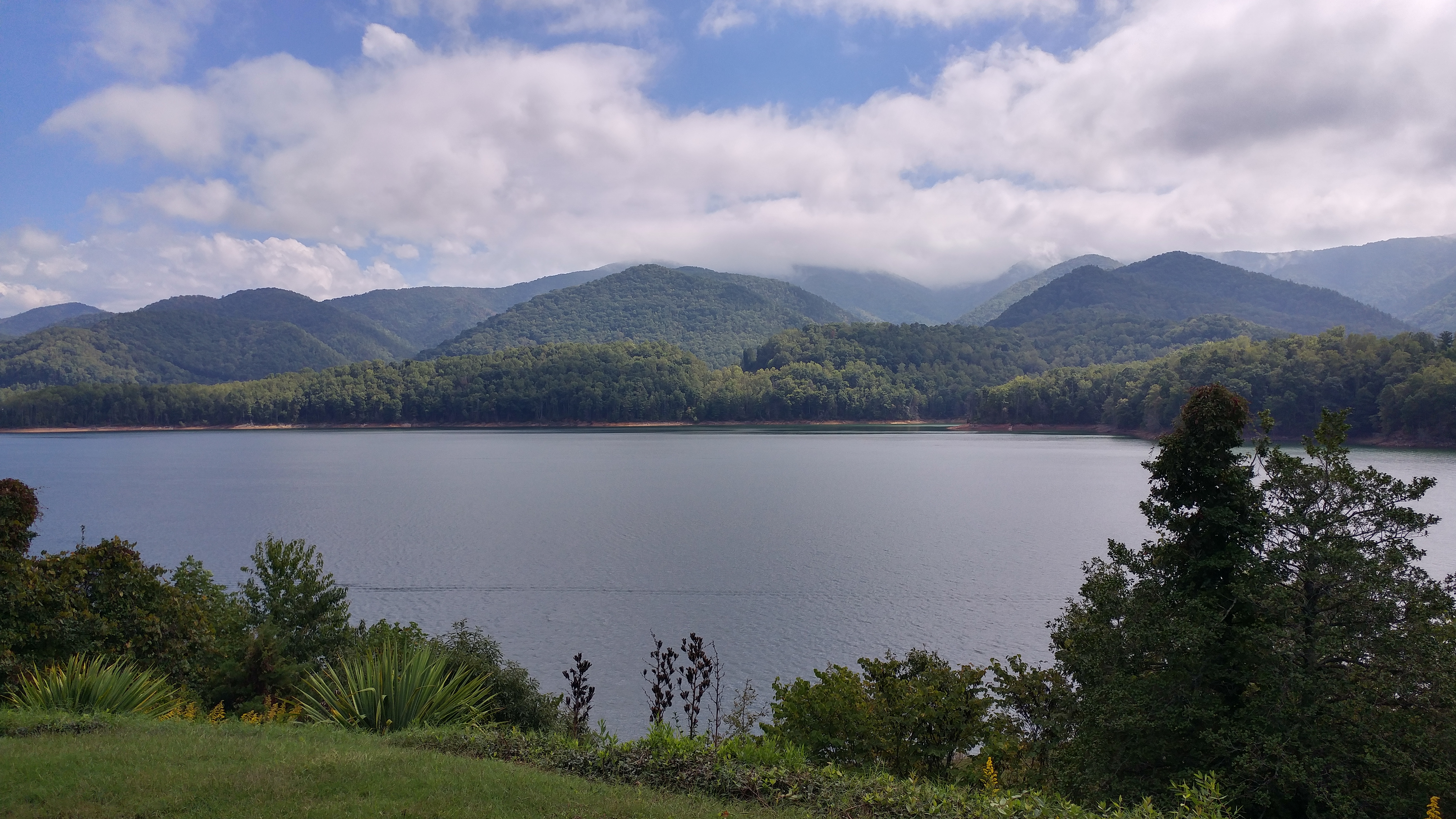
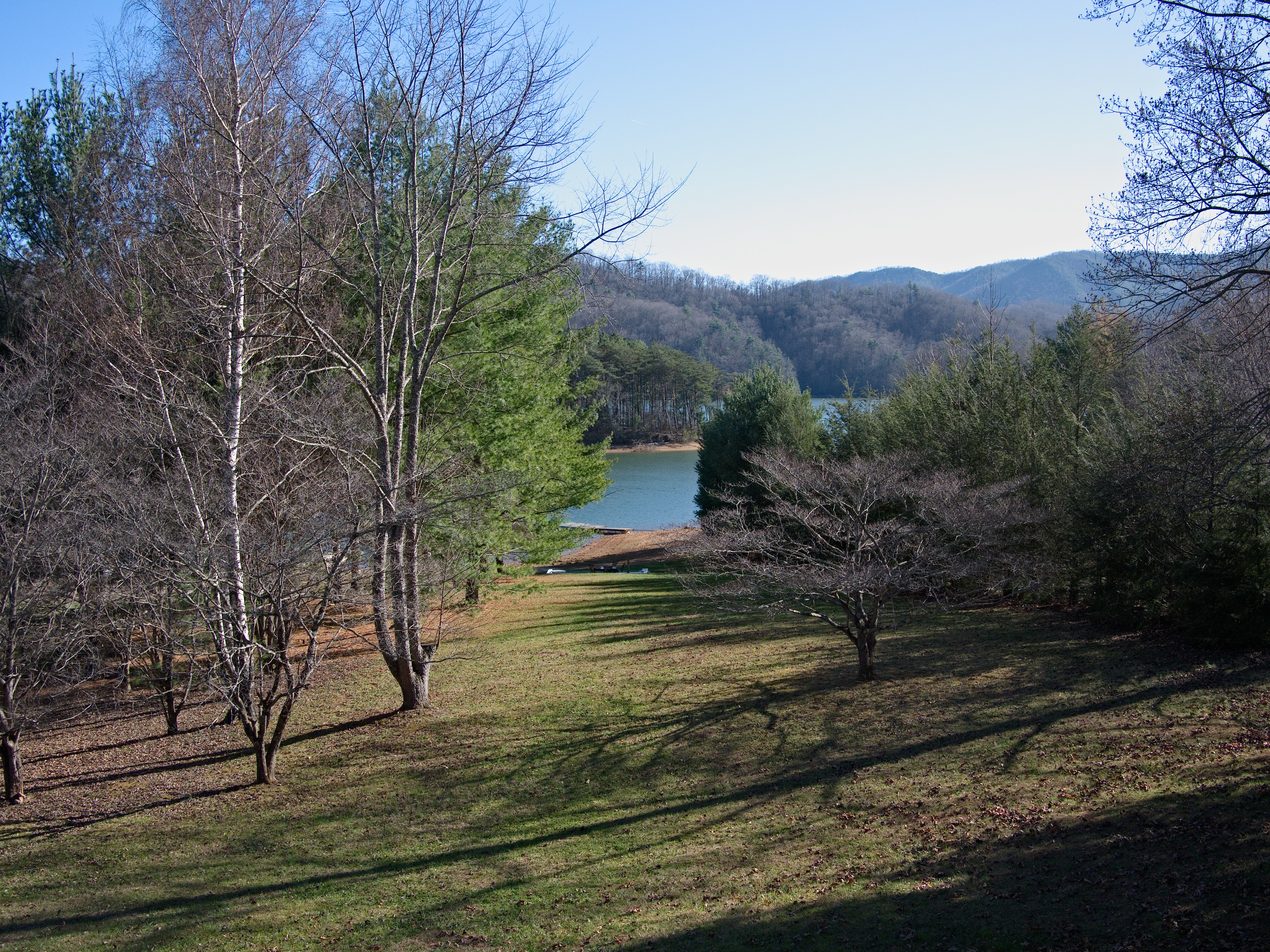
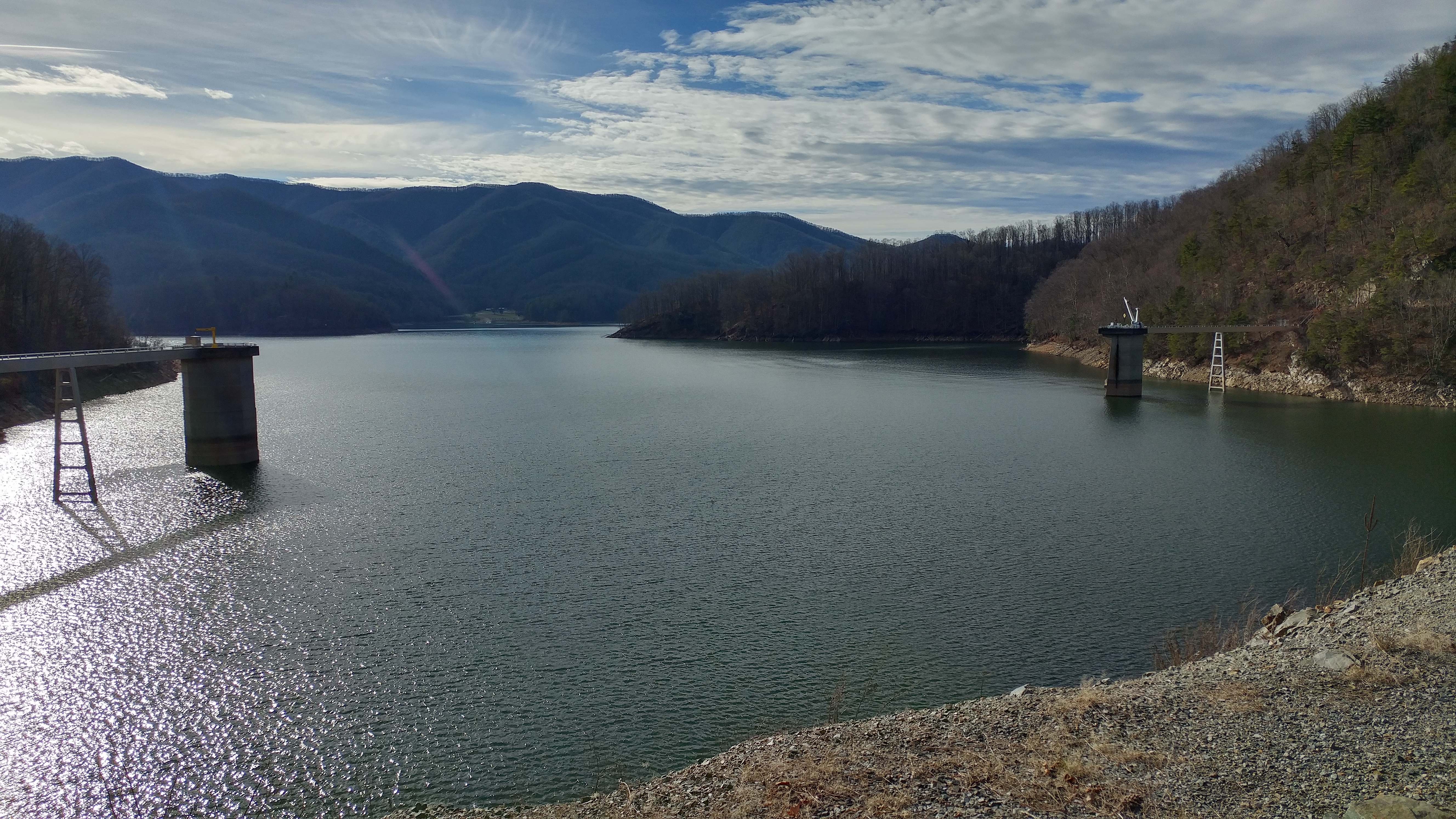
Watauga Lake, Carter County, TN
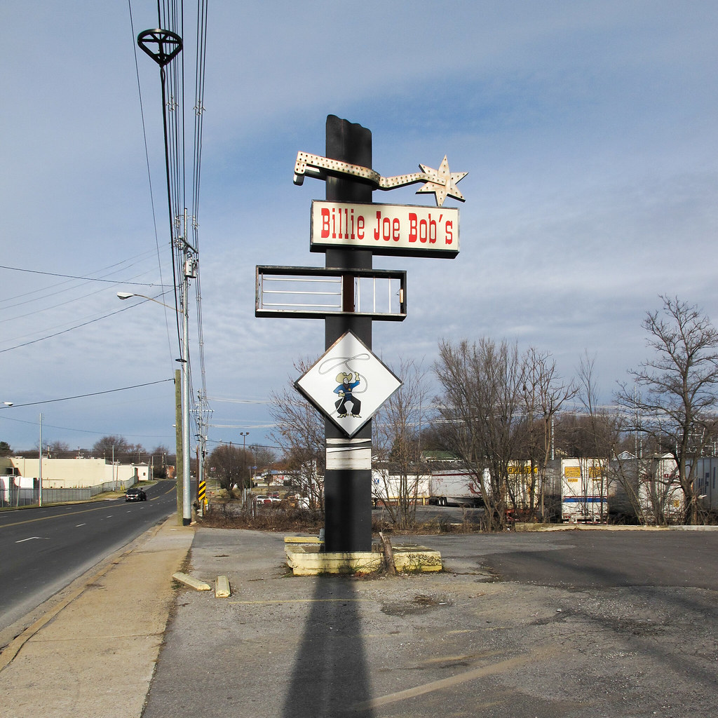
Cowboy drinking establishment of this urbanized region of the southern Appalachians.

My view - what are you looking at right now?

Watauga Lake, Carter County, TN5
View to South

Buffalo Pano
Watauga Lake, Carter County, TN3

Watauga Lake, Carter County, TN
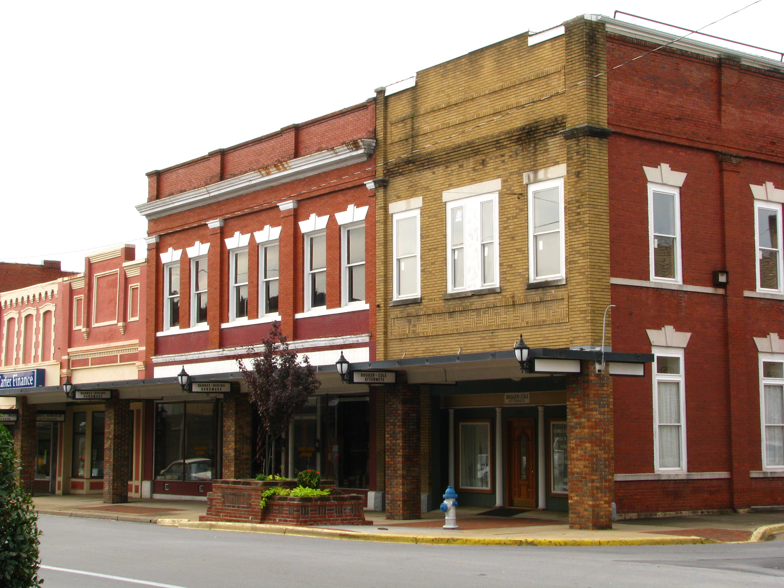
Storefronts of Historic Elizabethton - Barnes Boring Hardware
Scenic View #2
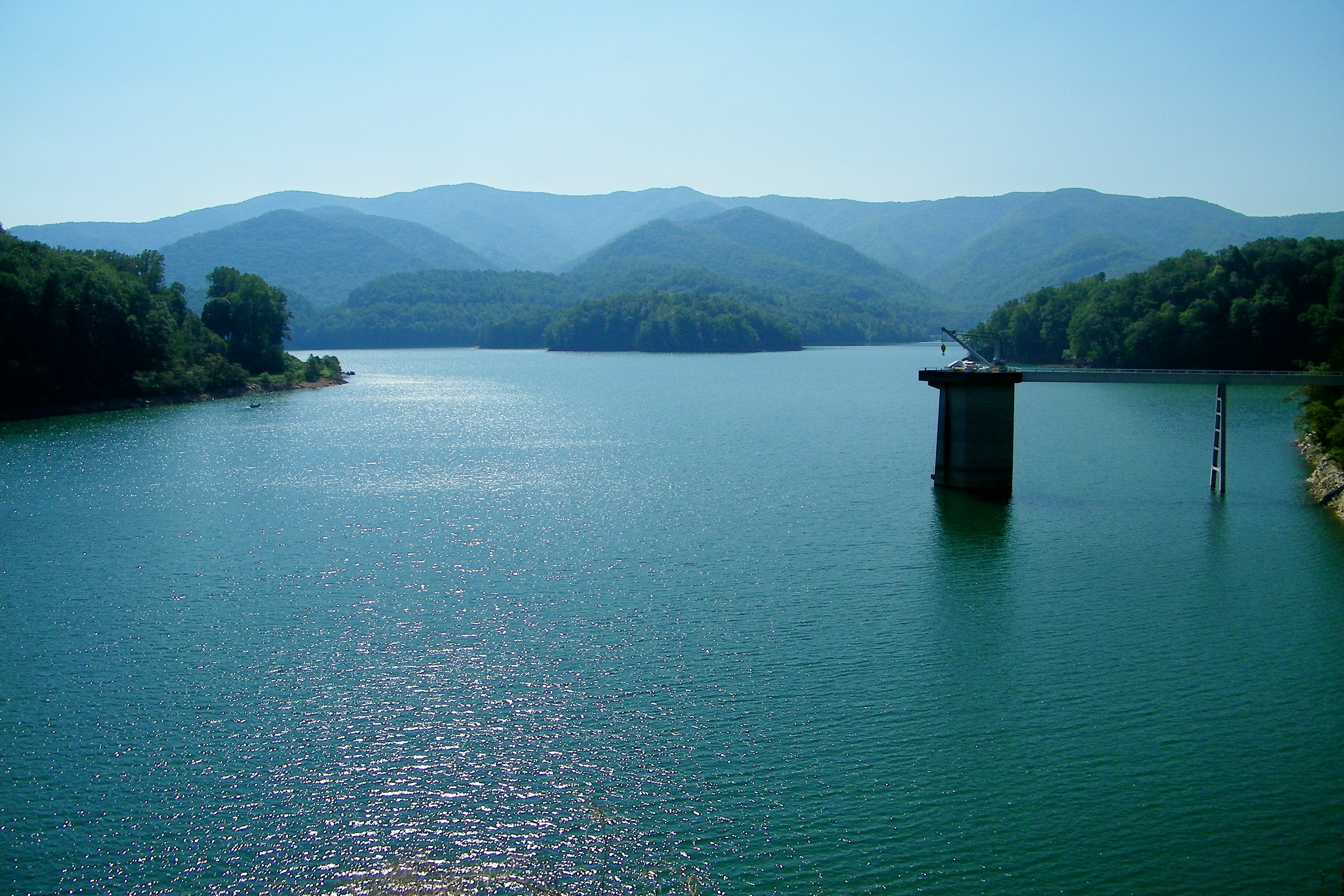
Watauga Lake

myspace 022
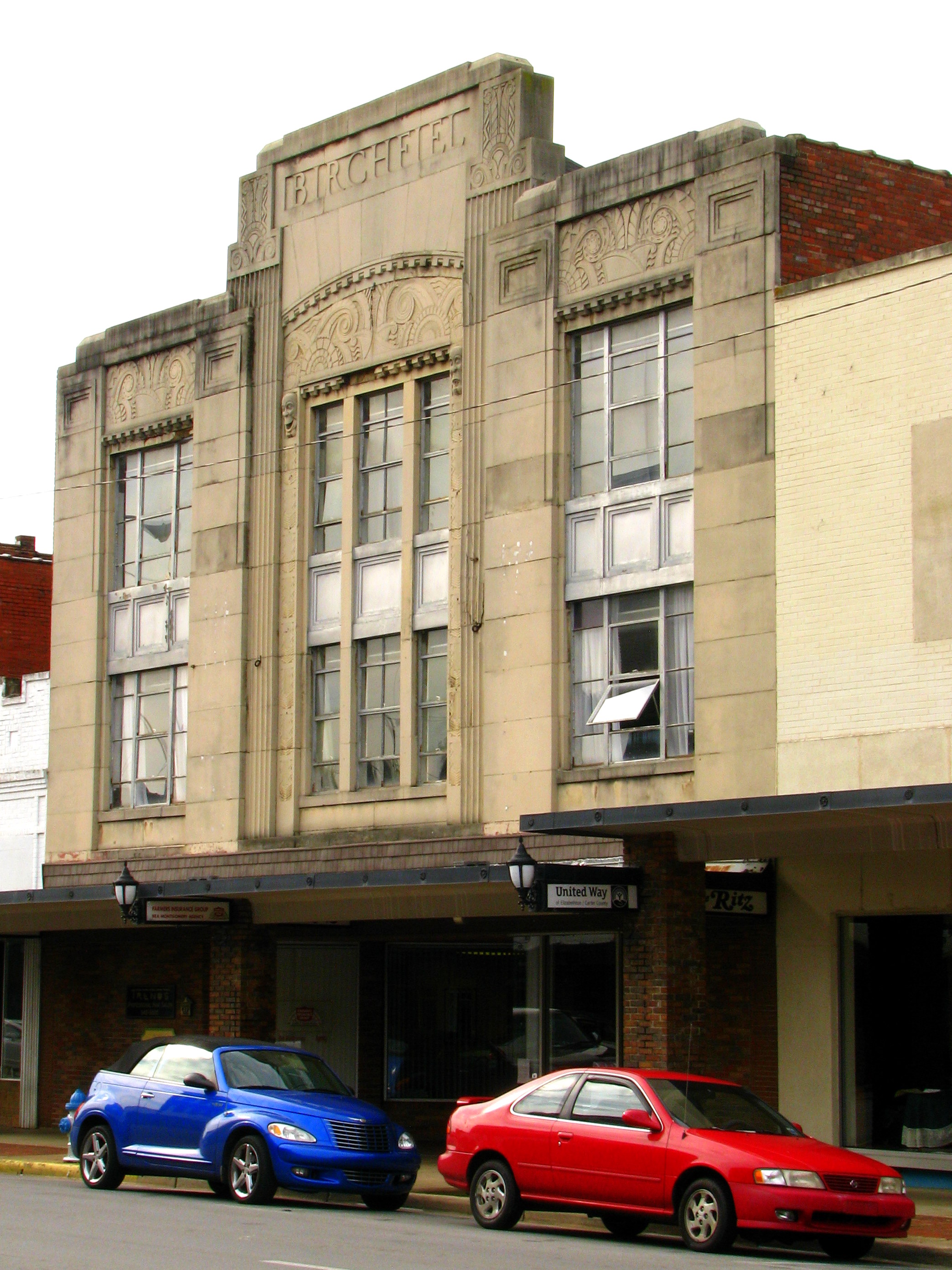
Birchfiel Building (Ritz Theater)

Black Bear Resort 16/16
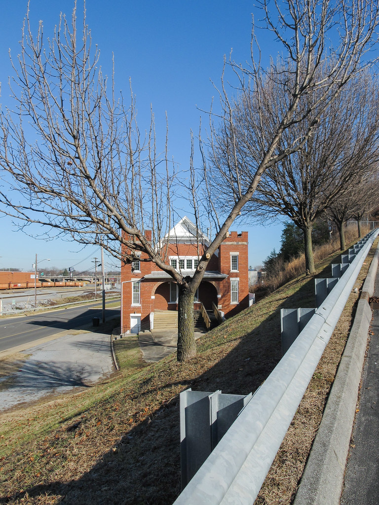
A view of a building!

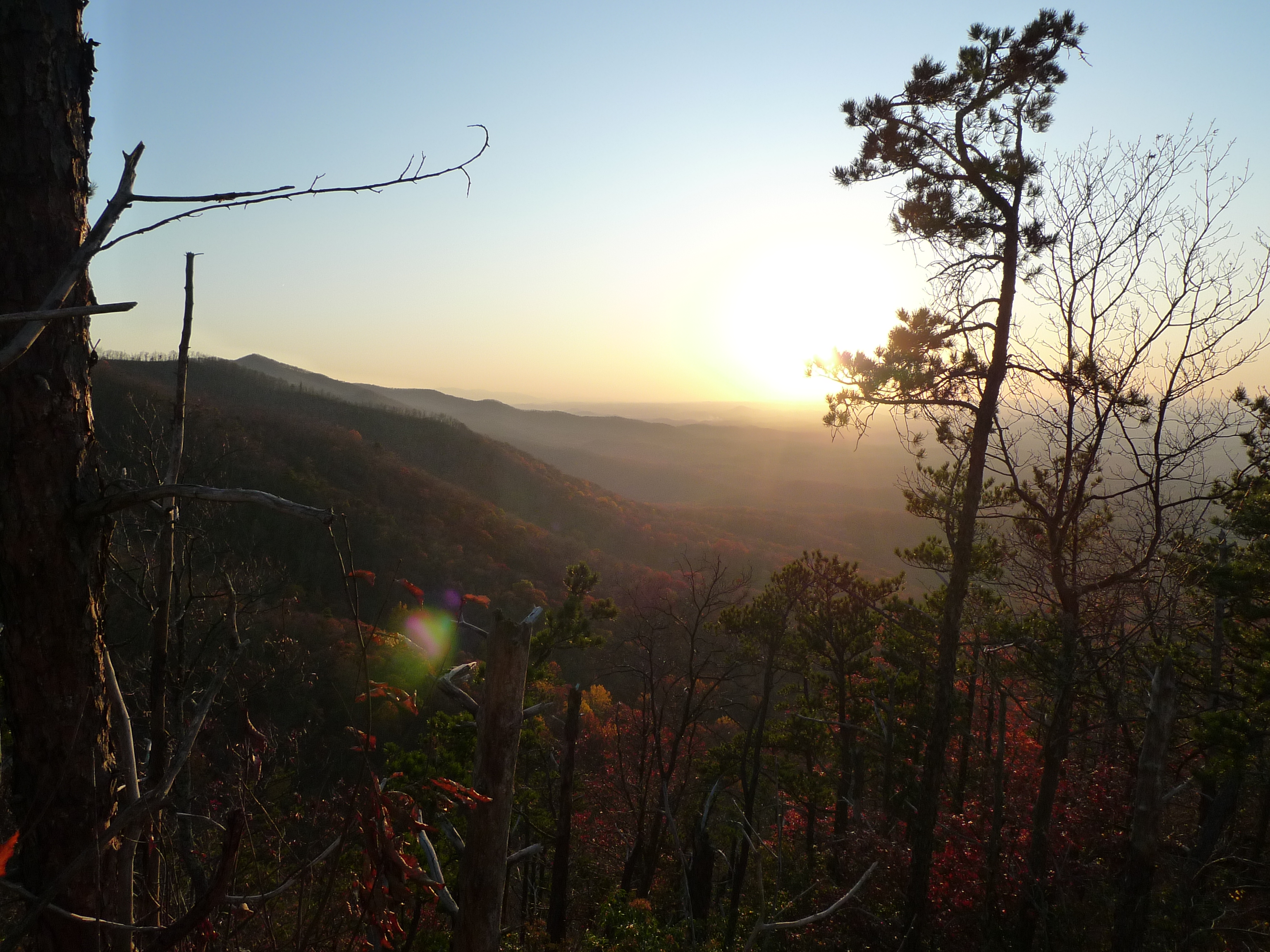
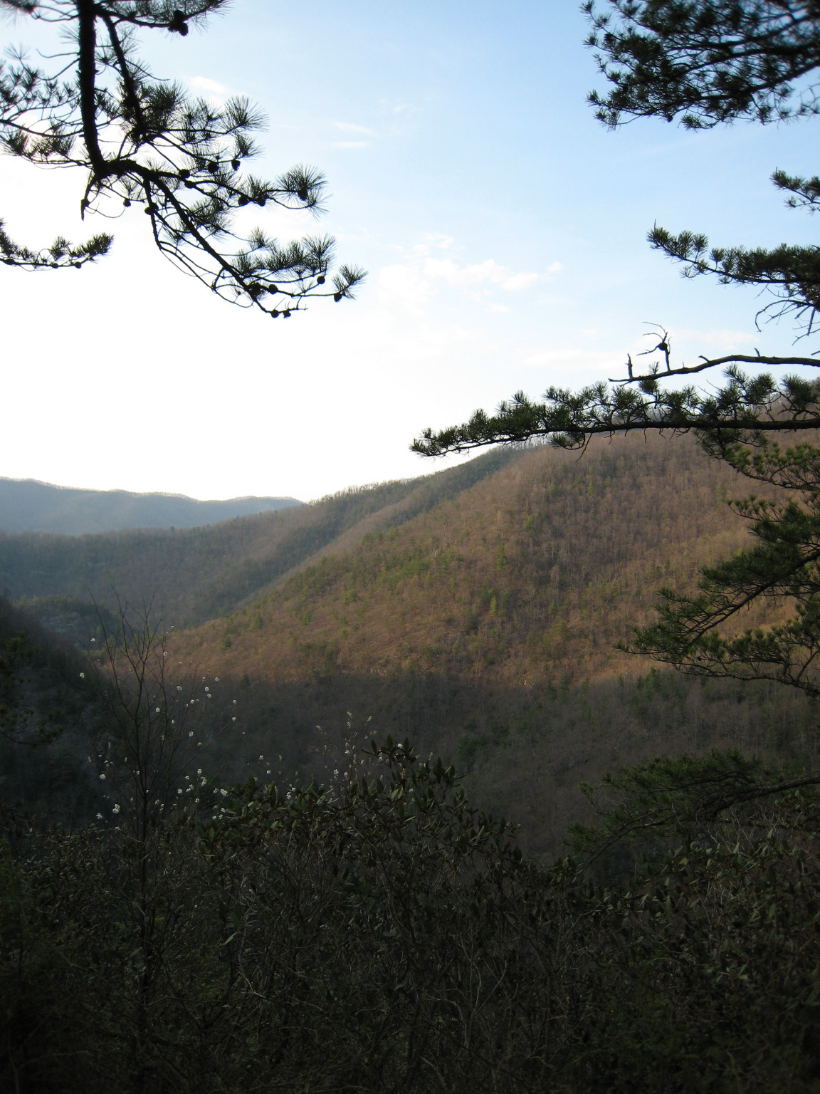
View from Vandeventer Shelter

View from Vandeventer Shelter

IMG_5044- Lake Watauga- view across to Shook Branch
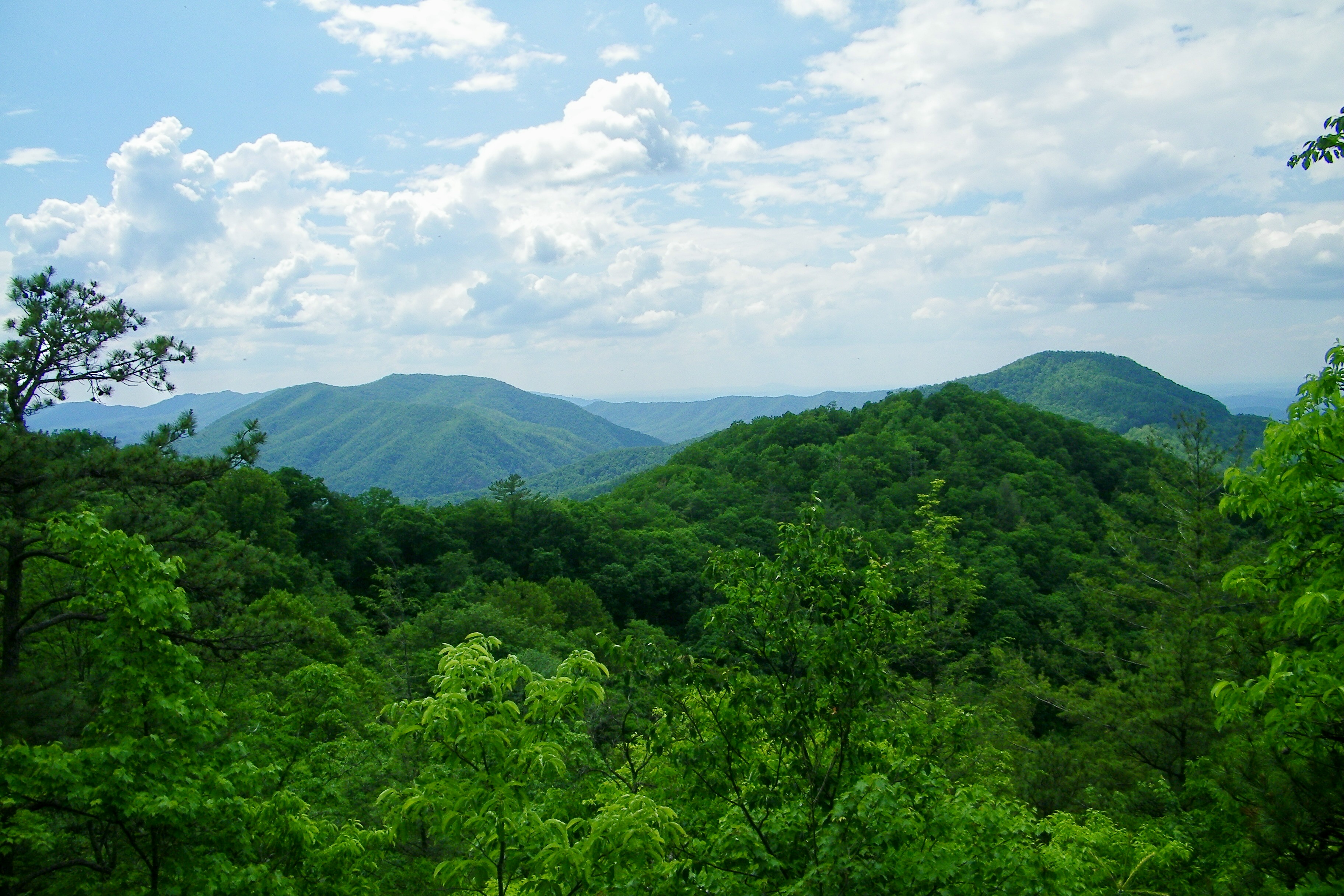
Appalachian Trail
The view

Watauga Lake

Early Spring Green

Double Exposer

Lake Mirror Pano

Mallard's Solitude

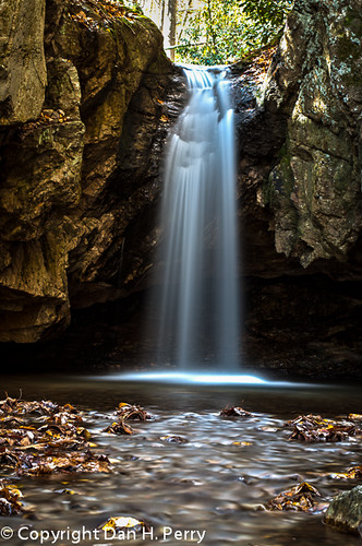
Blue Hole in the Snow

2009_07_03_9996_WatuagaLake-3

Mountain Flame
2012_10_21_8304_Blue_Hole-Edit

Watauga Lake at Night
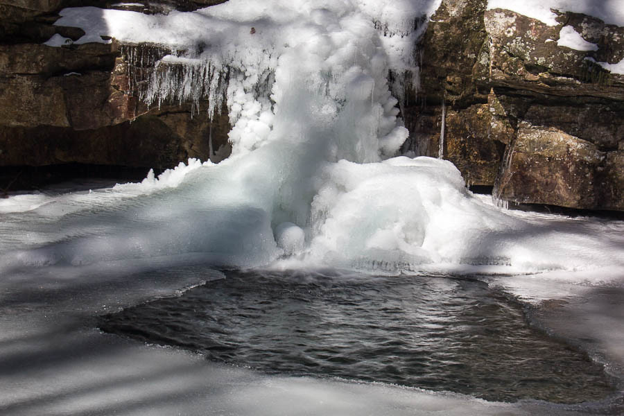
Blue Hole in the Snow
Watauga Dam, Appalachian NST, Carter County, TN2
Topographic Map of Joan Ann Rd, Elizabethton, TN, USA
Find elevation by address:

Places near Joan Ann Rd, Elizabethton, TN, USA:
Russell Hill Rd, Elizabethton, TN, USA
2590 Siam Rd
2580 Siam Rd
2761 Siam Rd
Log Cabin Road
145 Jade Rd
119 Days End Rd
130 Rainbolt Ln
936 Charlie St
1025 Dejarnette St
1219 Ledford St
East Side Day Care & Learning
Cody Avenue
102 Old Stateline Rd
115 Ruby Ave
128 Honeycutt St
273 C Grindstaff Rd
273 C Grindstaff Rd
273 C Grindstaff Rd
149 Mill Pond Rd
Recent Searches:
- Elevation of W Granada St, Tampa, FL, USA
- Elevation of Pykes Down, Ivybridge PL21 0BY, UK
- Elevation of Jalan Senandin, Lutong, Miri, Sarawak, Malaysia
- Elevation of Bilohirs'k
- Elevation of 30 Oak Lawn Dr, Barkhamsted, CT, USA
- Elevation of Luther Road, Luther Rd, Auburn, CA, USA
- Elevation of Unnamed Road, Respublika Severnaya Osetiya — Alaniya, Russia
- Elevation of Verkhny Fiagdon, North Ossetia–Alania Republic, Russia
- Elevation of F. Viola Hiway, San Rafael, Bulacan, Philippines
- Elevation of Herbage Dr, Gulfport, MS, USA