Elevation of East Shooting Star Way, E Shooting Star Way, Scottsdale, AZ, USA
Location: United States > Arizona > Maricopa County > Scottsdale > Terravita >
Longitude: -111.93159
Latitude: 33.791075
Elevation: 680m / 2231feet
Barometric Pressure: 93KPa
Elevation Map:
Satellite Map:
Related Photos:

Arizona Wedding Photography - Greyhawk Golf Portrait - Strobist Photographer

Cool Retro Diner Arrow Sign: Big Earl's Greasy Eats, Cave Creek, Close-up, West View

"Saguaro You Here?"--pun by Paul Ewing and Tim Lefler

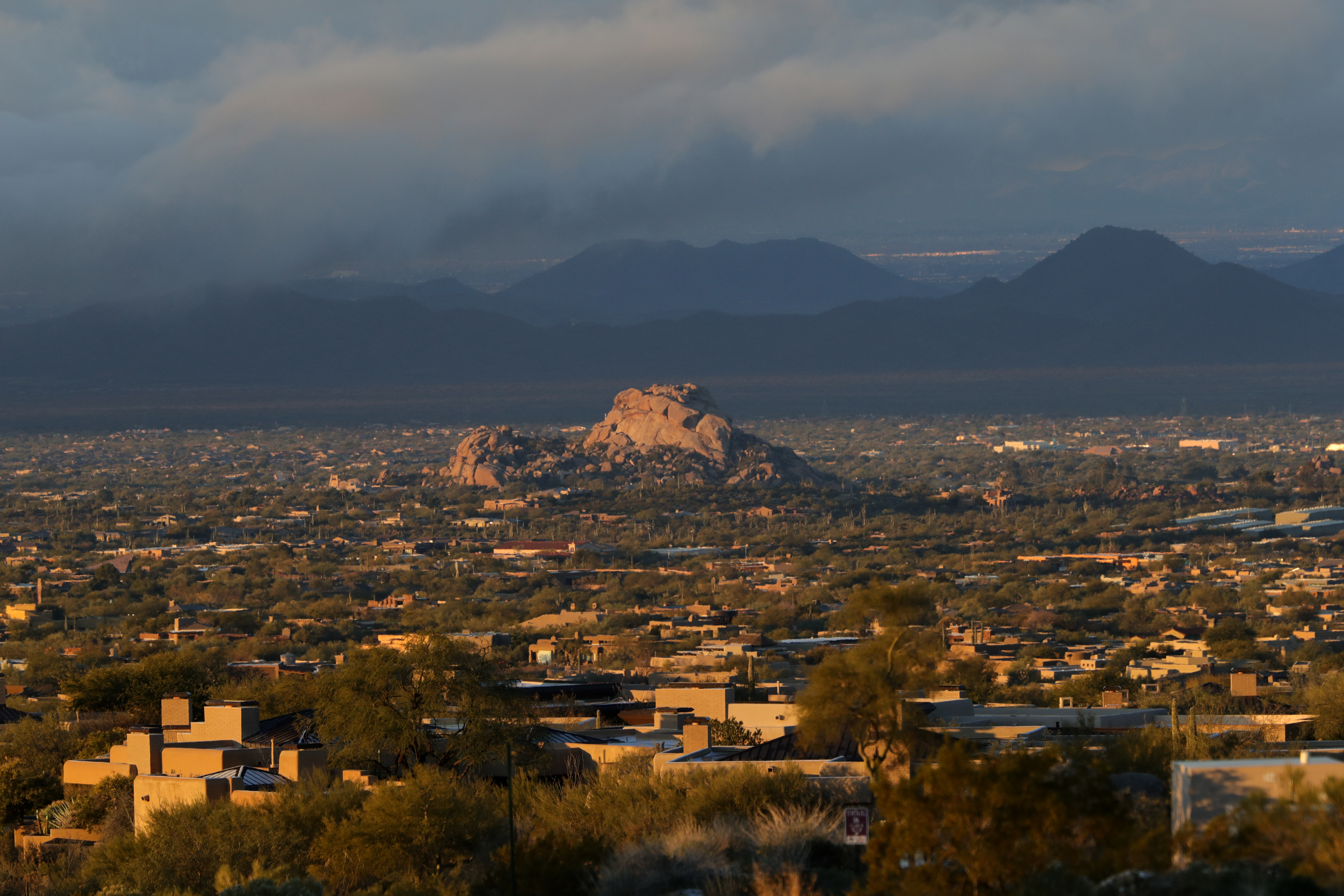
Elephant Mountain Sunrise

Cool Retro AZ Diner Sign: Big Earl's Greasy Eats, Cave Creek, View to the East
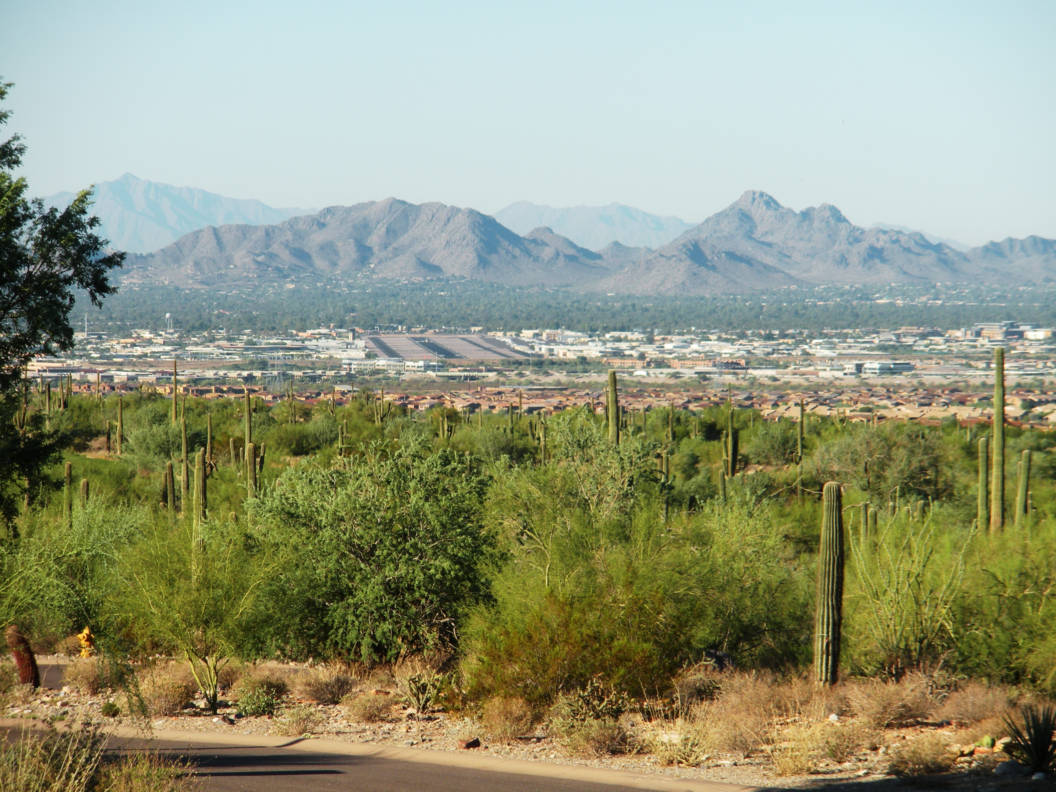
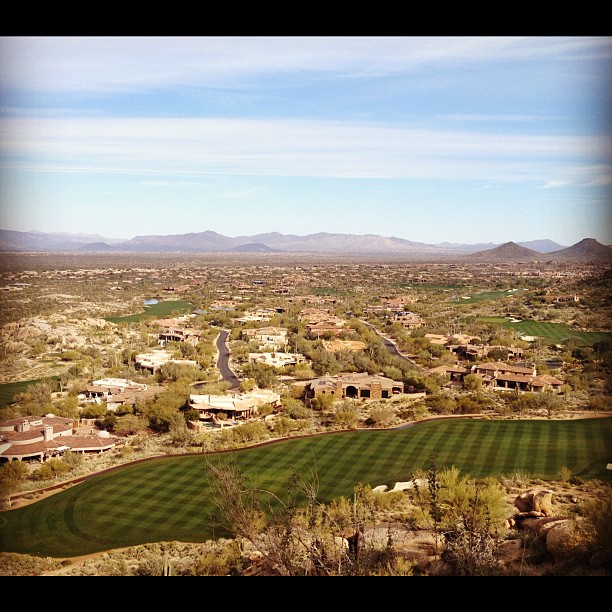
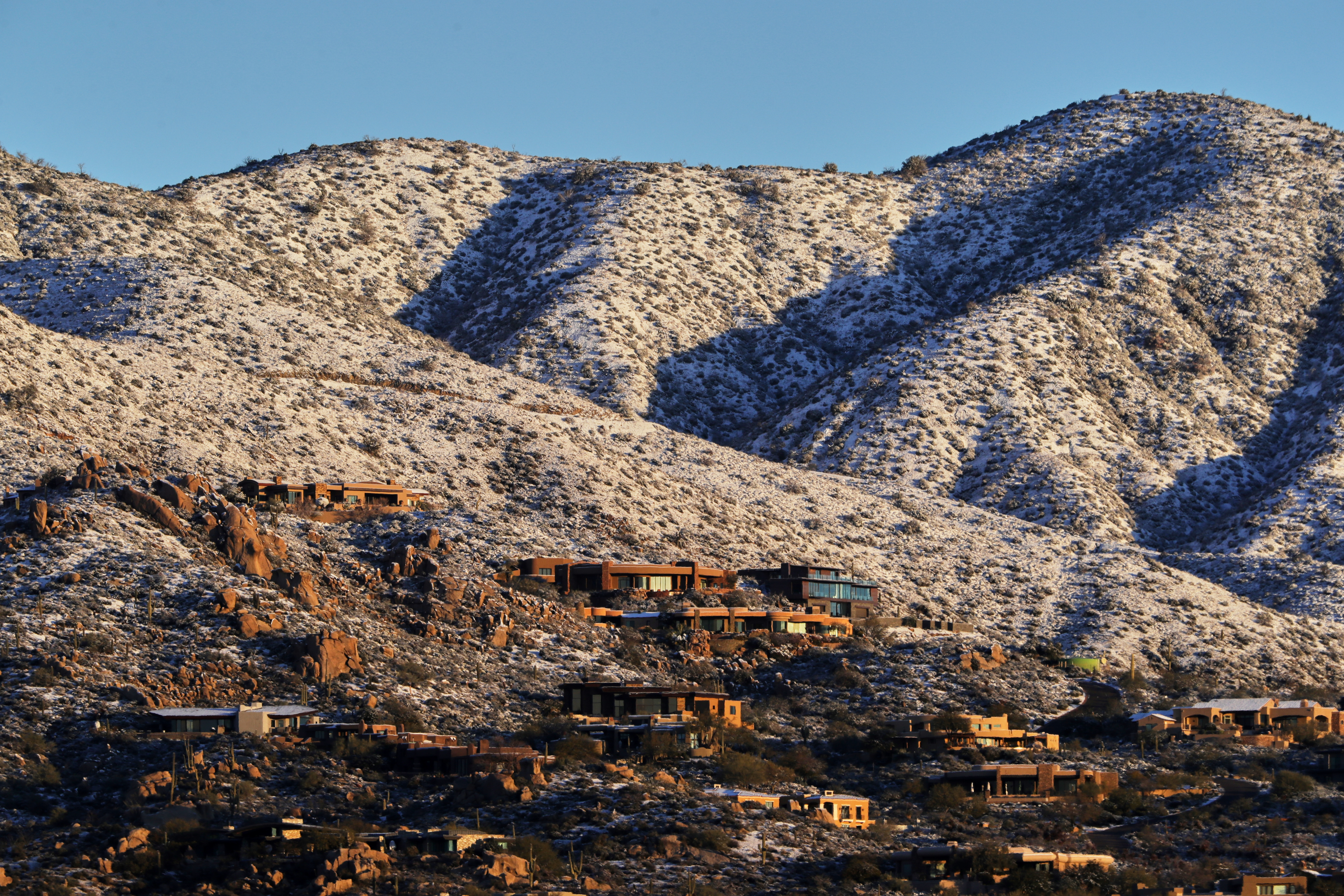
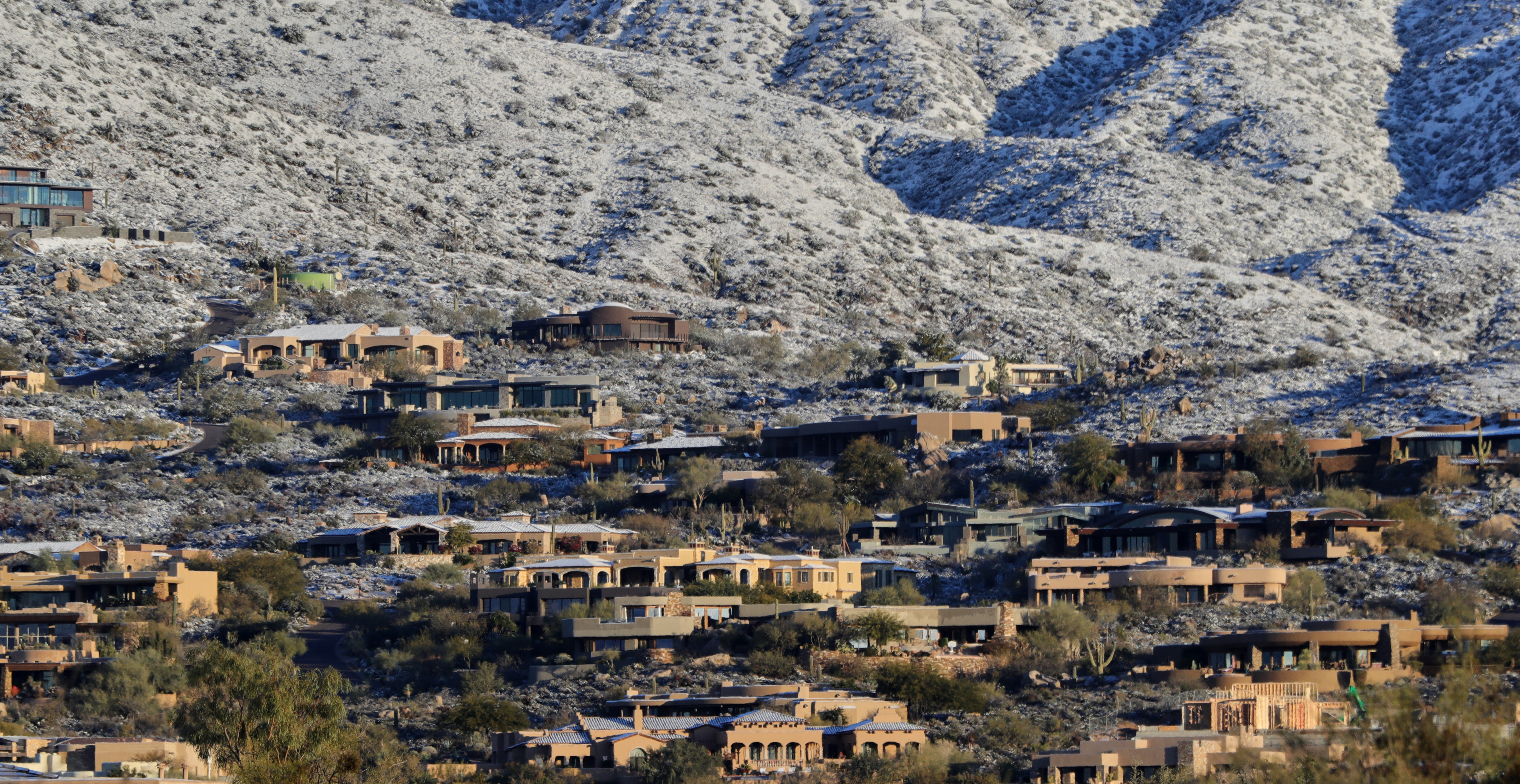
Neighborhood Overlooking the Scottsdale, AZ Airport
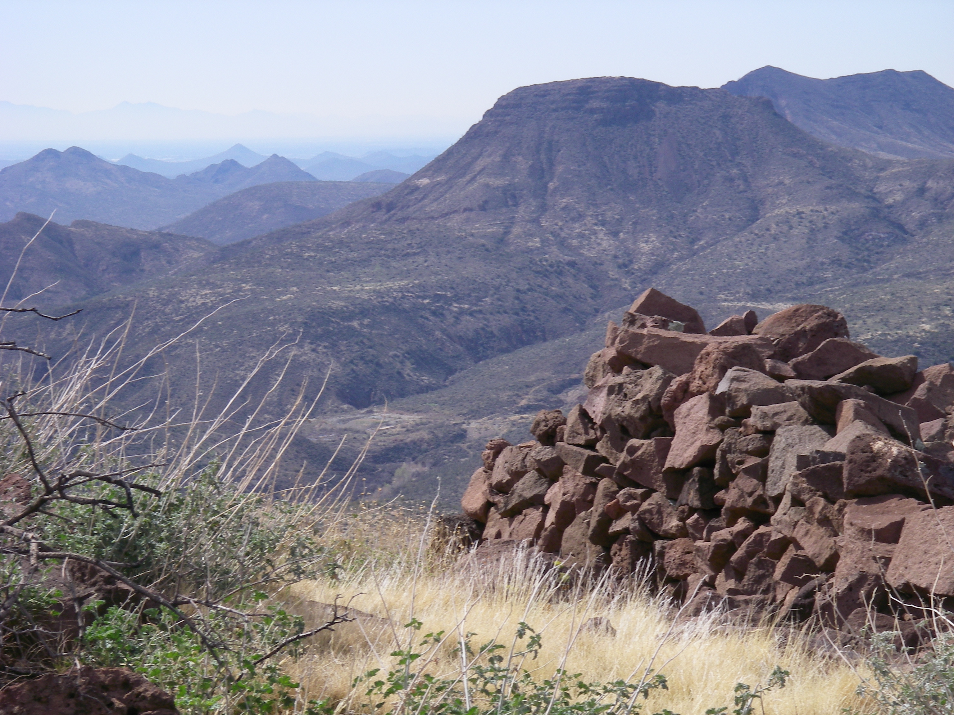
View from the Skull Mesa Fort
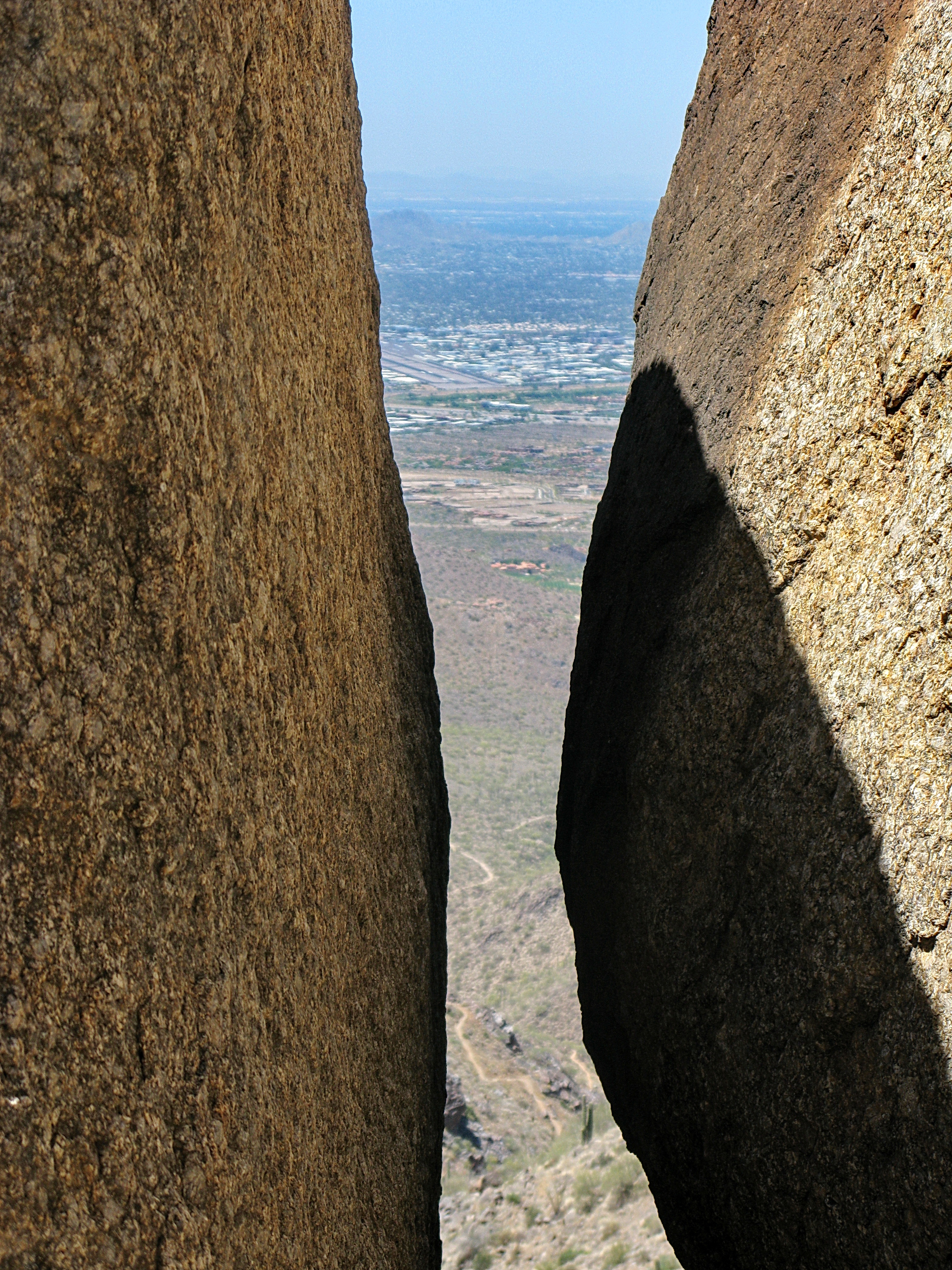
Tom's Thumb looking down at the trail - McDowell Sonoran Preserve

Sears-Kay Ruins - Tonto National Forest

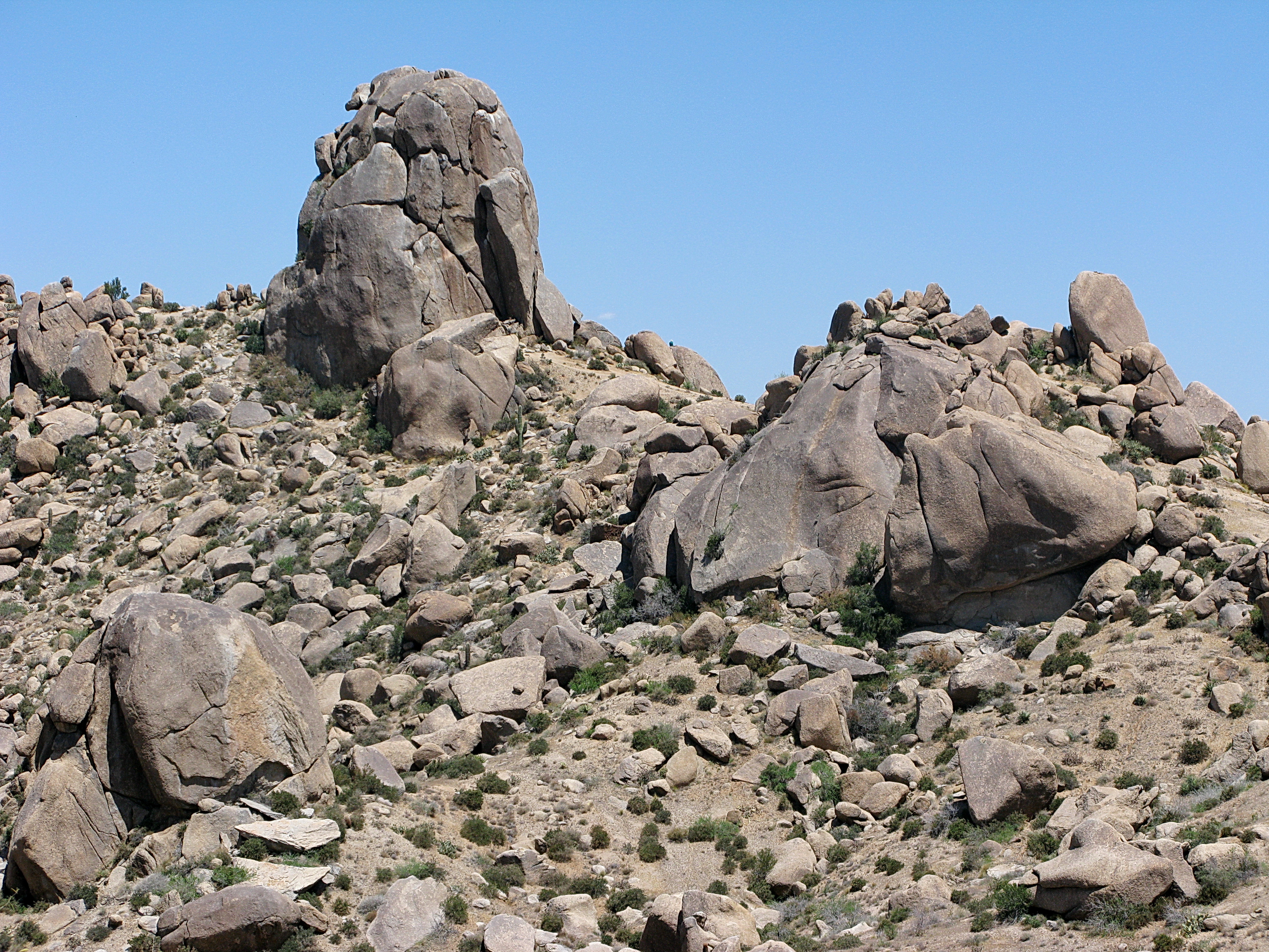
boulders & cactus in the arizona desert
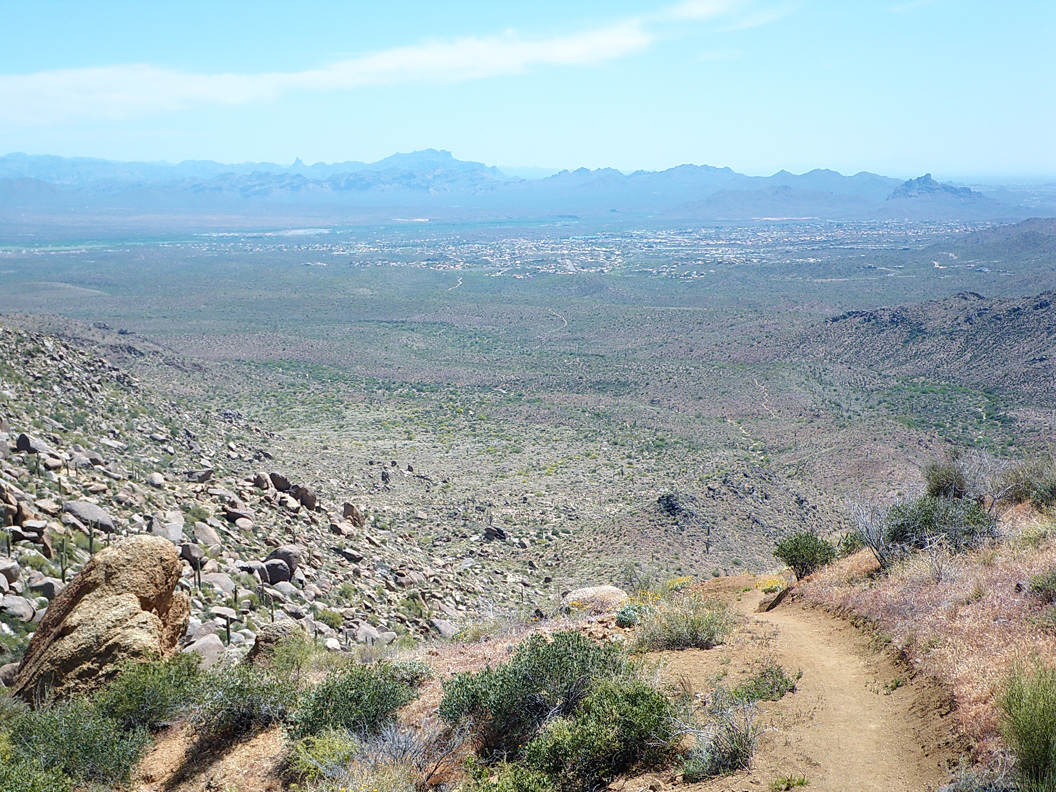
Fountain Hills from Tom's Thumb - McDowell Mountains
Tom's Thumb - McDowell Sonoran Preserve

Dodge Challenger SRT, pulled over on the 101
Another beautiful view from #pinnaclepeak hike this morning
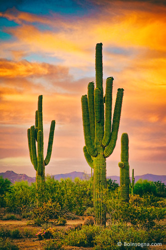
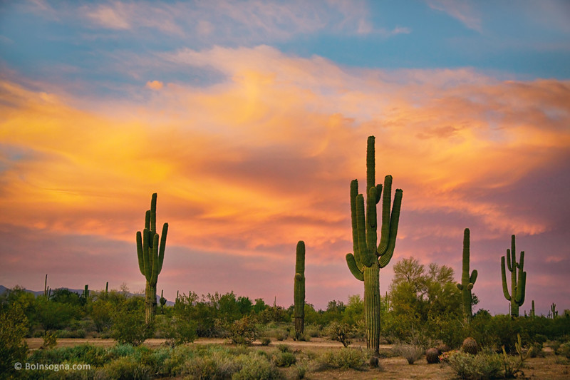
Cactus Sunset
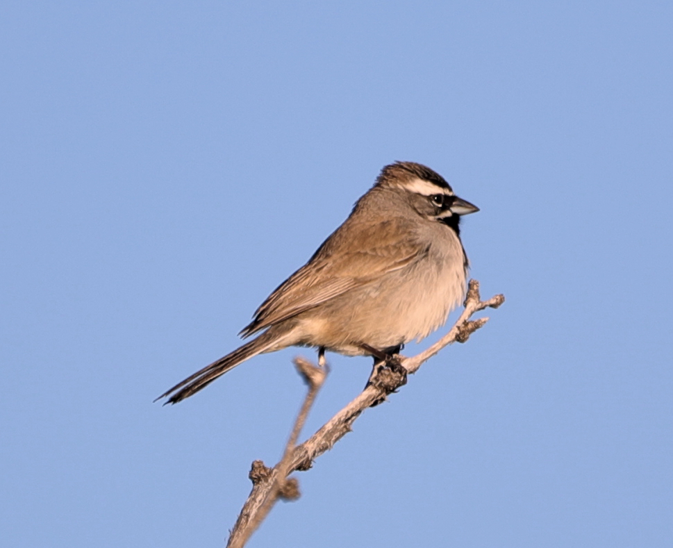
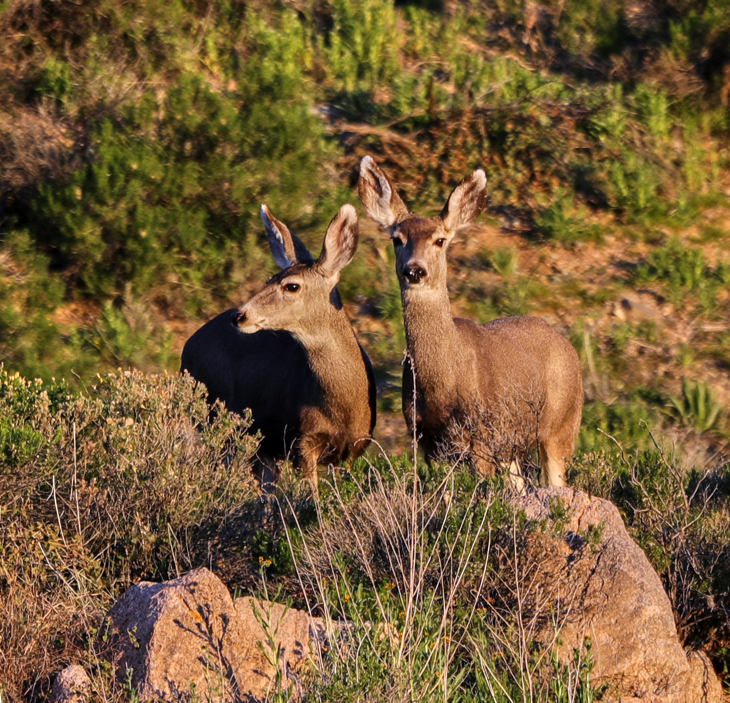
Arizona Life

Zebra-tailed Lizard

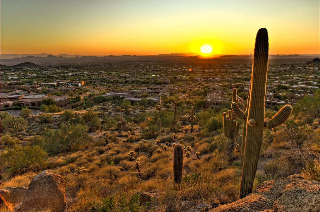
The evening view from Black Mountain.
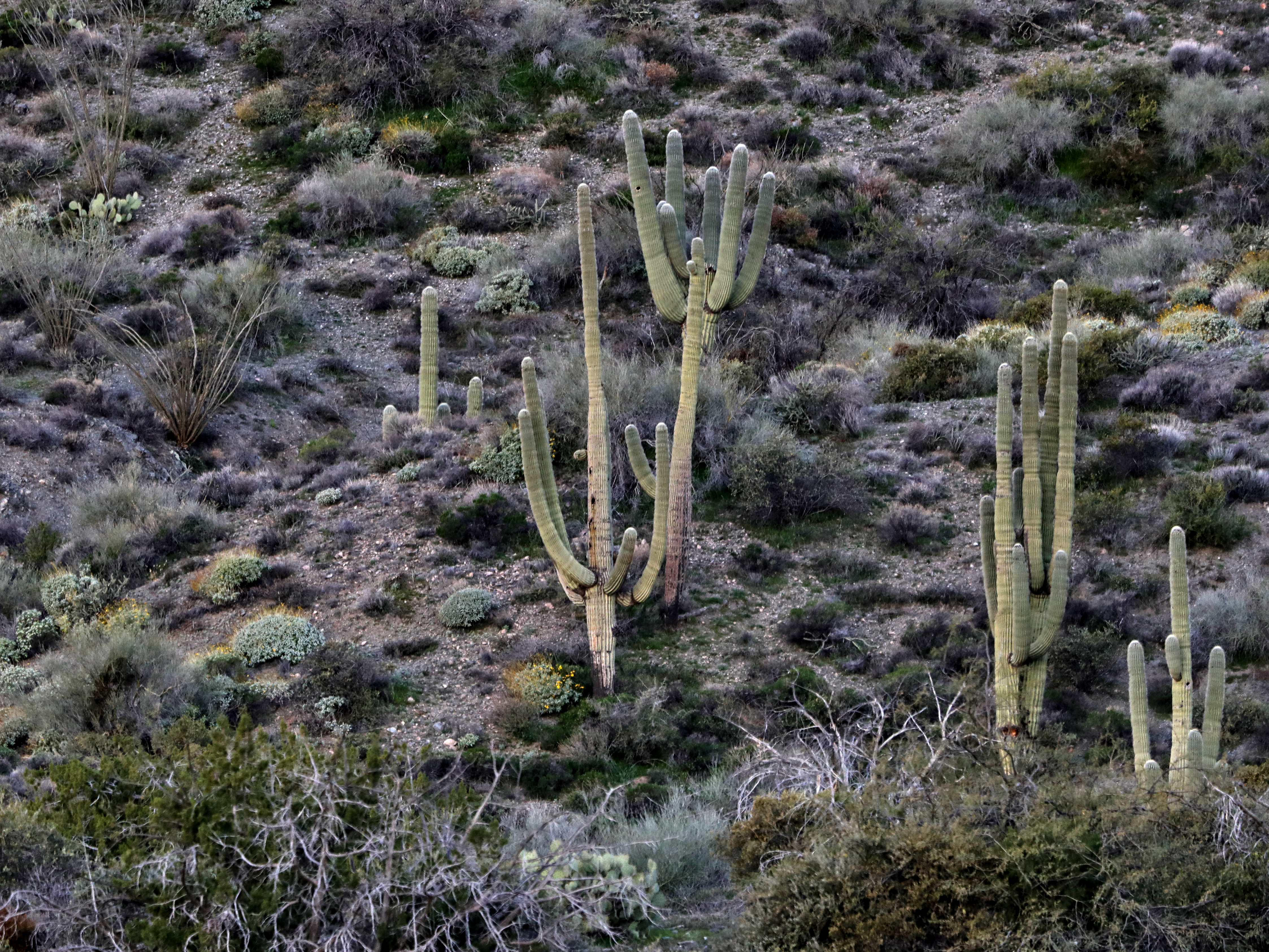
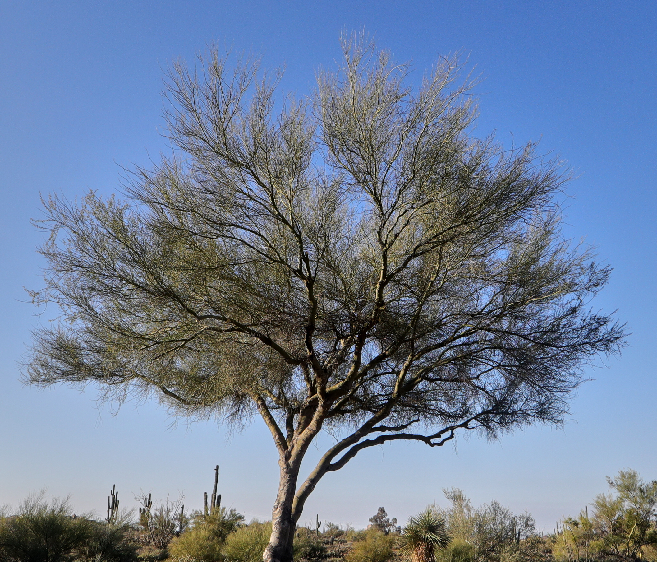
Saguaro Desert Life

Land of the Giants

May 2012 solar eclipse peak from Phoenix, Arizona, USA
01-25-19-0045609
01-25-19-0045607

01-23-19-0045409

01-23-19-0045410 1
01-25-19-0045846

01-25-19-0045841

01-25-19-0045659
01-25-19-0045614

01-23-19-0045399

01-25-19-0045622
01-11-19-0044184
01-25-19-0045719 1

01-01-19-0043812

Arizona sunset
01-01-19-0043815
Pinnacle Peak from Greasewood Flats

Sunset 4.7.13
01-01-19-0043811
01-01-19-0043800
Topographic Map of East Shooting Star Way, E Shooting Star Way, Scottsdale, AZ, USA
Find elevation by address:

Places near East Shooting Star Way, E Shooting Star Way, Scottsdale, AZ, USA:
Terravita
33837 N 70th Way
East Nightingale Star Circle
East Crimson Sky Trail
The Boulders
6522 E Night Glow Cir
East Brilliant Sky Drive
7324 E Crimson Sky Trail
North Winfield Drive
7027 E Mighty Saguaro Way
East Soaring Eagle Way
Boulders Golf Club
Boulders Resort & Spa Scottsdale, Curio Collection By Hilton
8025 E Sunset Sky Cir
Boulders Carefree
Winfield
6930 E Leisure Ln
34339 N 61st Pl
6033 E Palomino Ln
Carefree Foothills
Recent Searches:
- Elevation of Corso Fratelli Cairoli, 35, Macerata MC, Italy
- Elevation of Tallevast Rd, Sarasota, FL, USA
- Elevation of 4th St E, Sonoma, CA, USA
- Elevation of Black Hollow Rd, Pennsdale, PA, USA
- Elevation of Oakland Ave, Williamsport, PA, USA
- Elevation of Pedrógão Grande, Portugal
- Elevation of Klee Dr, Martinsburg, WV, USA
- Elevation of Via Roma, Pieranica CR, Italy
- Elevation of Tavkvetili Mountain, Georgia
- Elevation of Hartfords Bluff Cir, Mt Pleasant, SC, USA