Elevation of The Boulders, Scottsdale, AZ, USA
Location: United States > Arizona > Maricopa County > Scottsdale >
Longitude: -111.92616
Latitude: 33.7979727
Elevation: 695m / 2280feet
Barometric Pressure: 93KPa
Elevation Map:
Satellite Map:
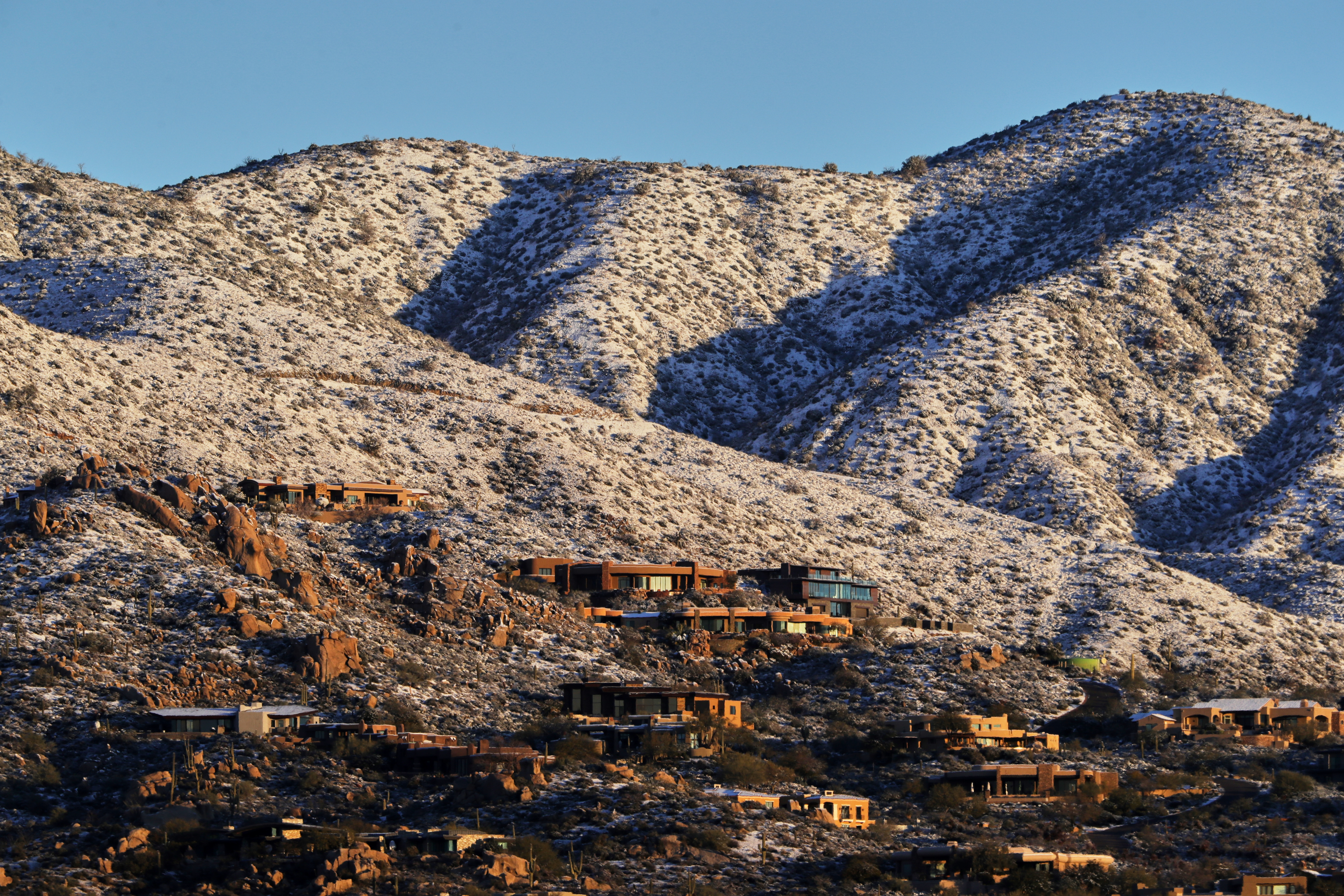
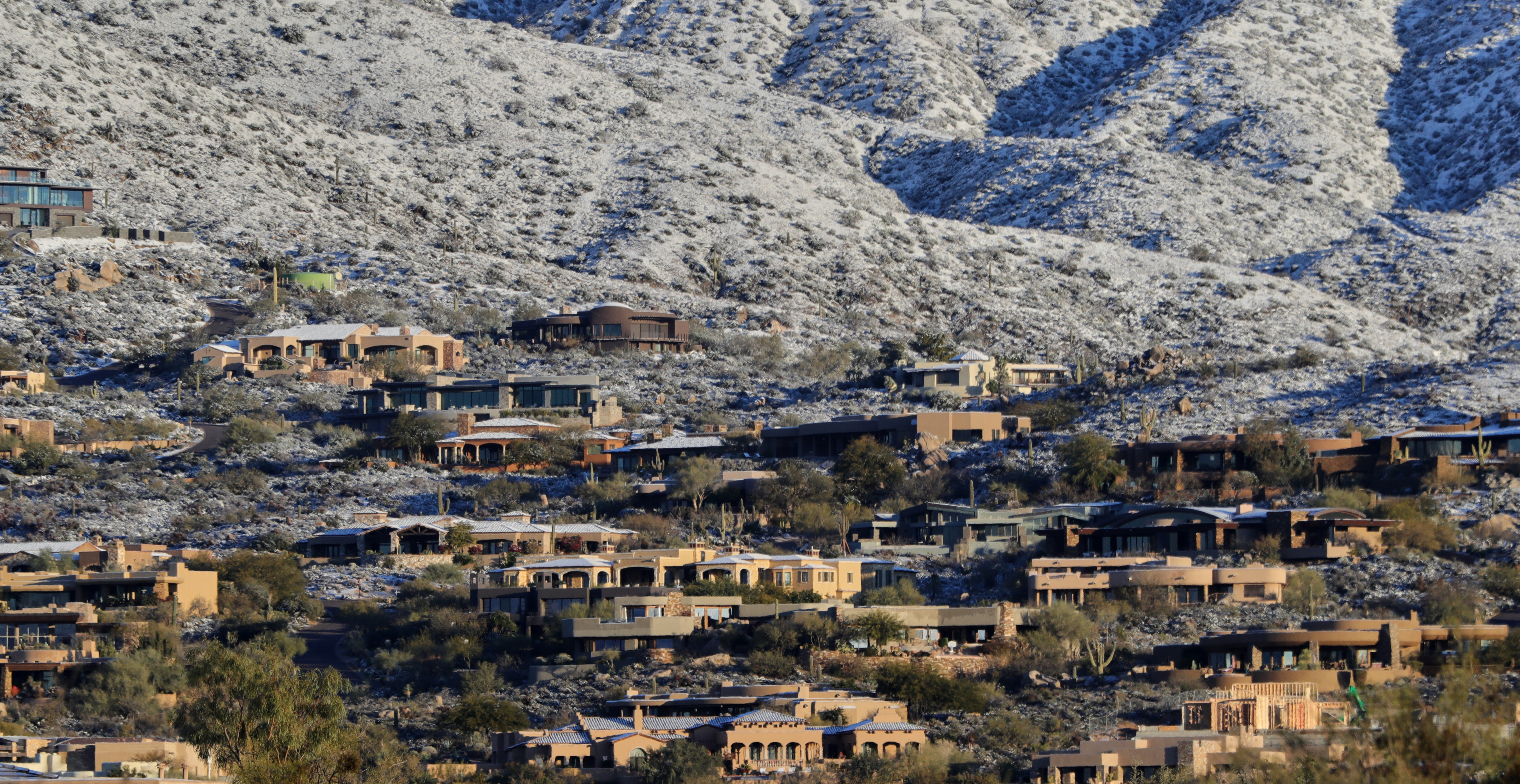
Related Photos:
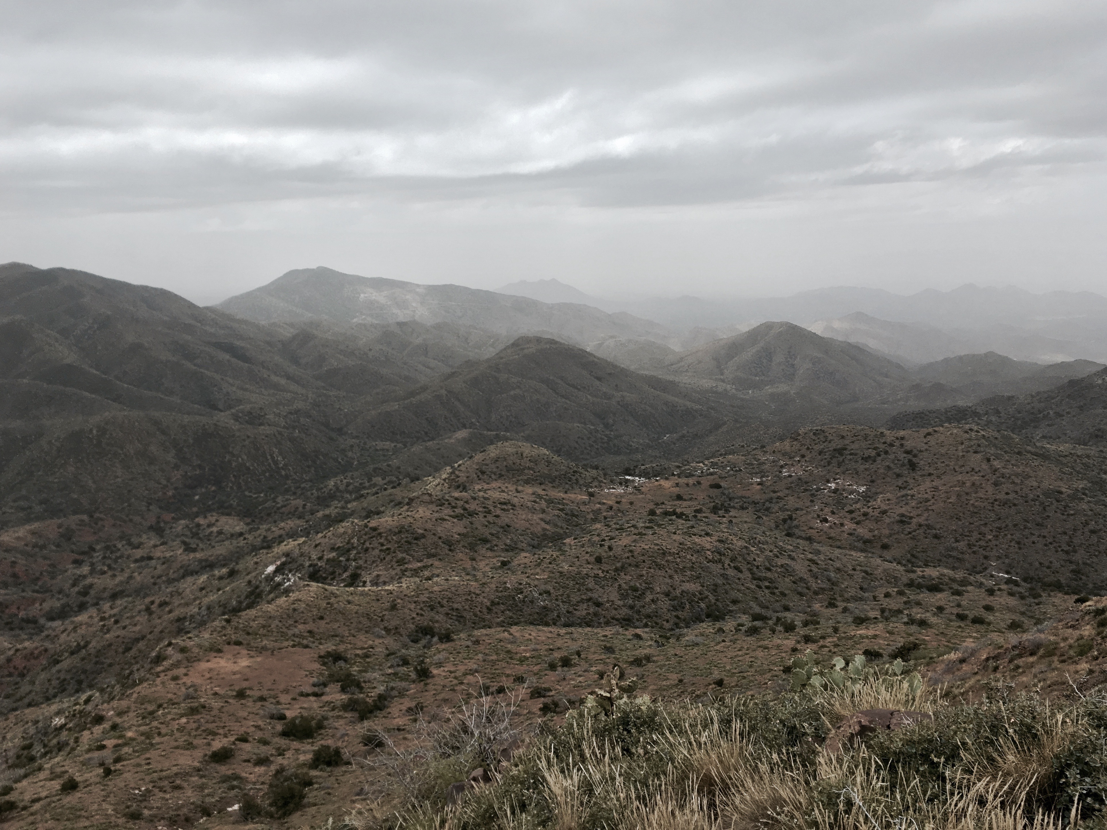
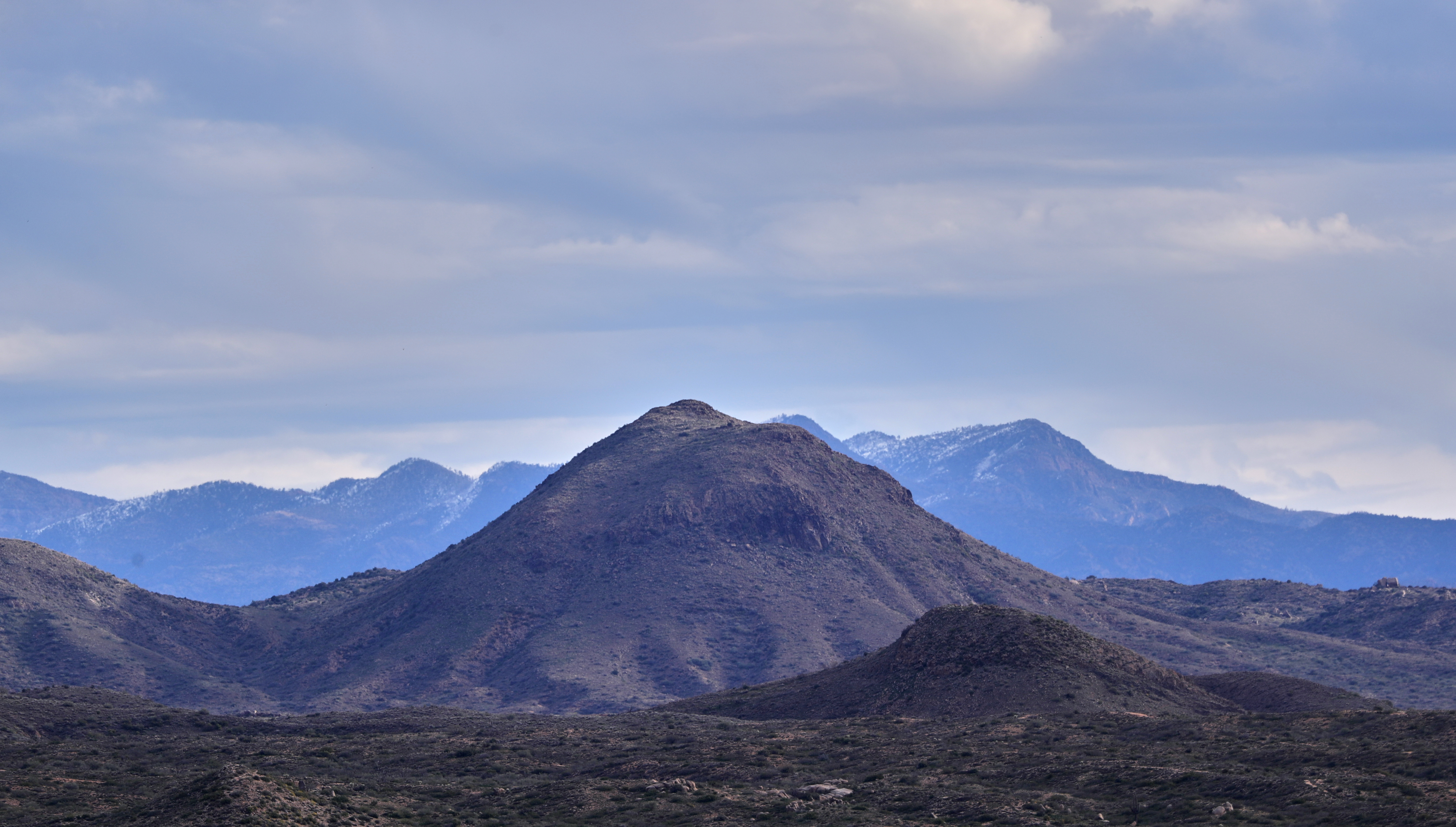
371. View from atop Quien Sabe summit centered on Black Mountain in the distance

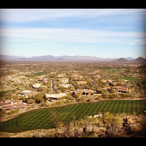
Arizona Wedding Photography - Greyhawk Golf Portrait - Strobist Photographer
Another beautiful view from #pinnaclepeak hike this morning
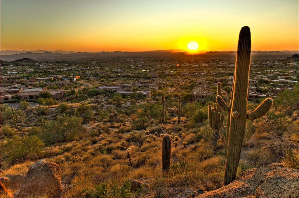
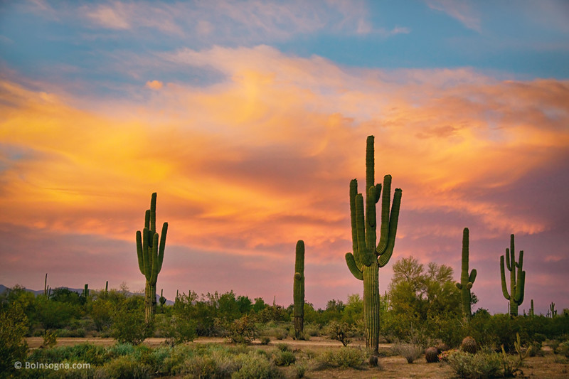
Cactus Sunset

Zebra-tailed Lizard
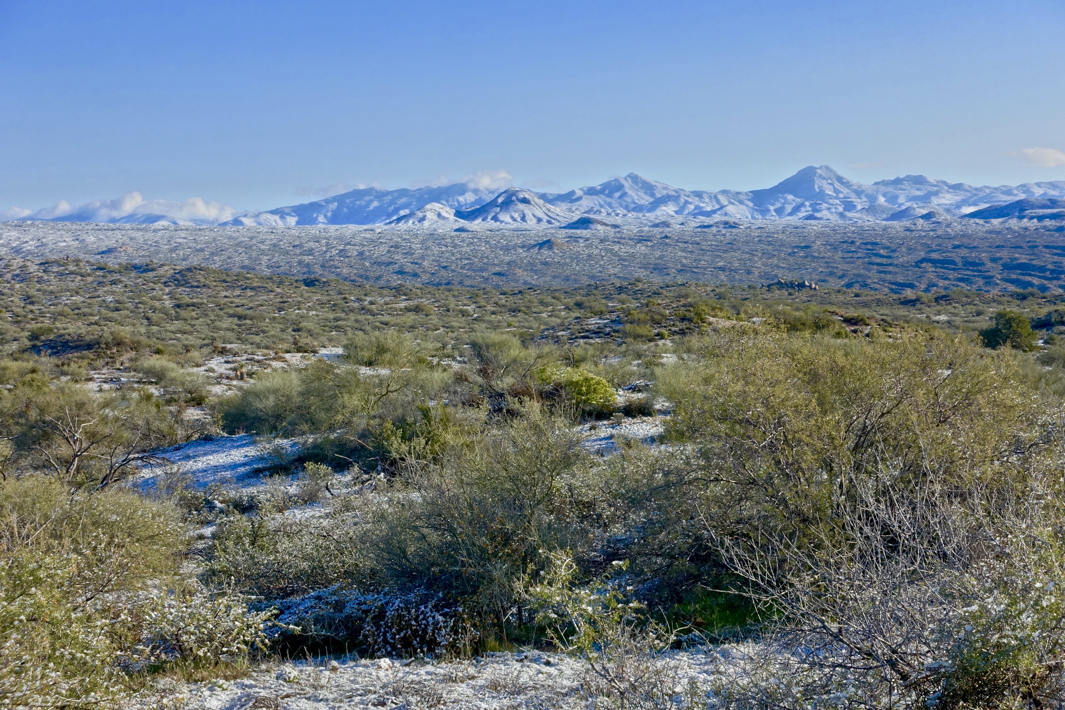
32. View along Bartlett Dam Road toward St. Clair Peak on a crisp New Year's Day

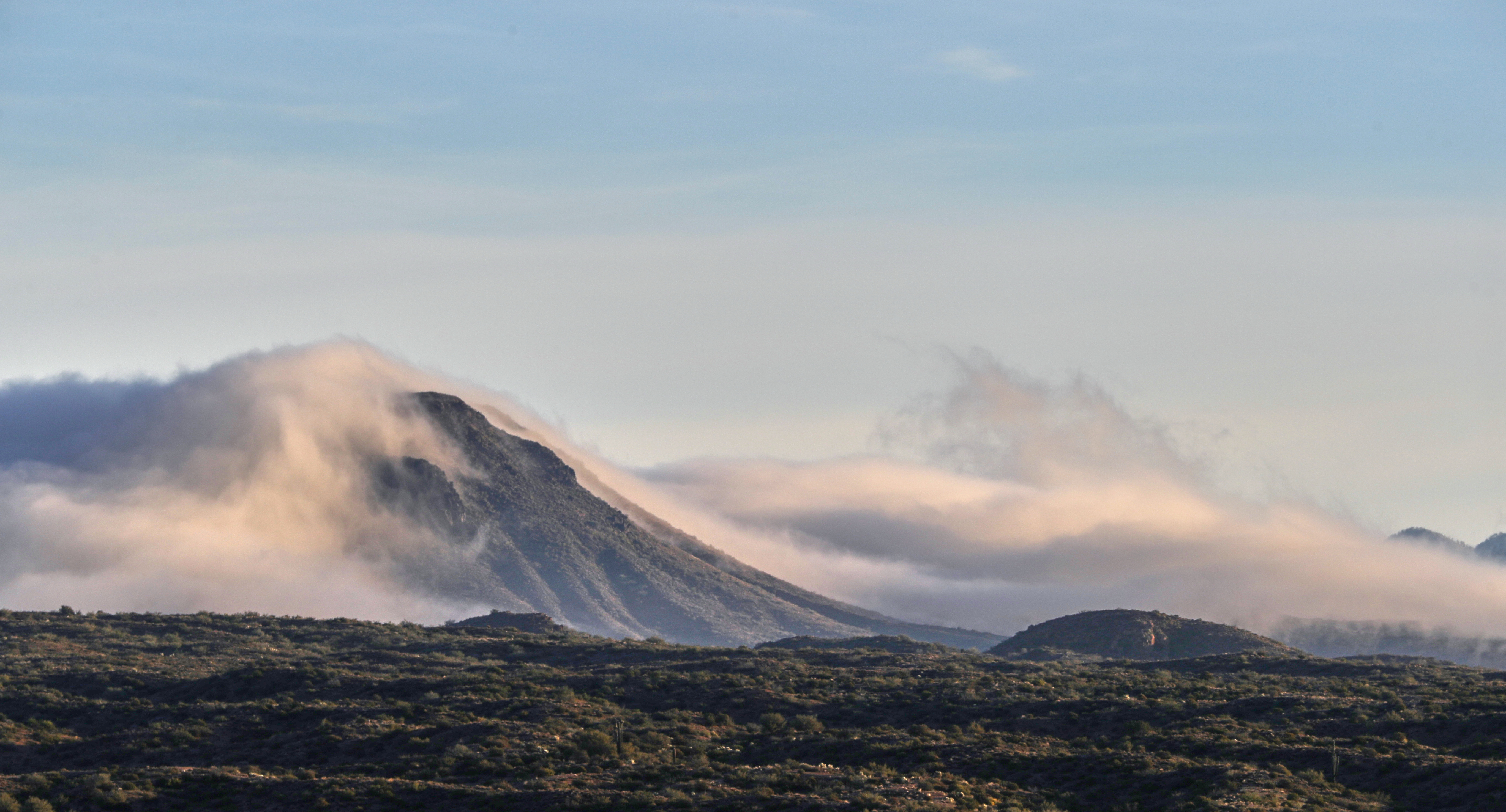
The evening view from Black Mountain.
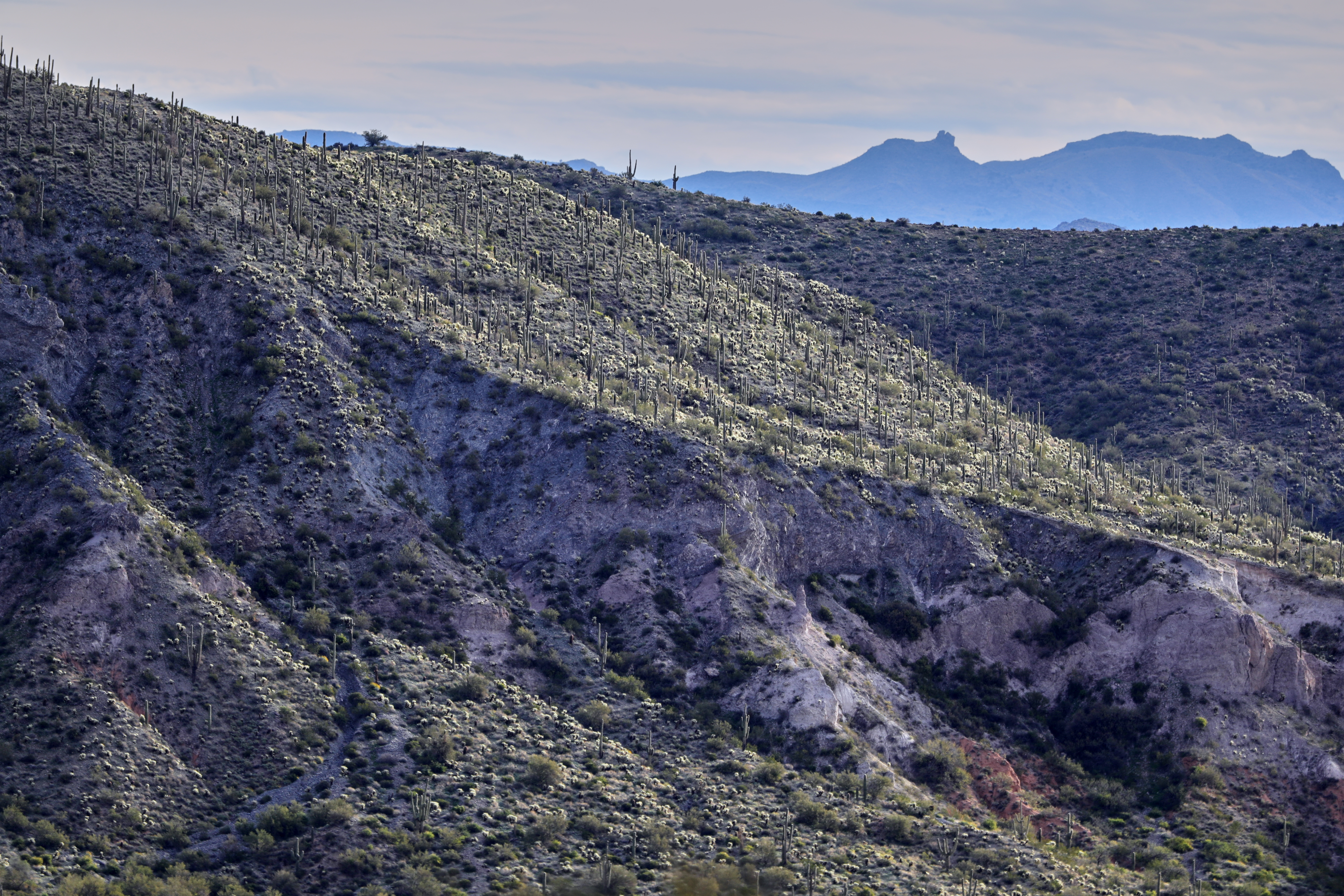
Saguaro Desert Life

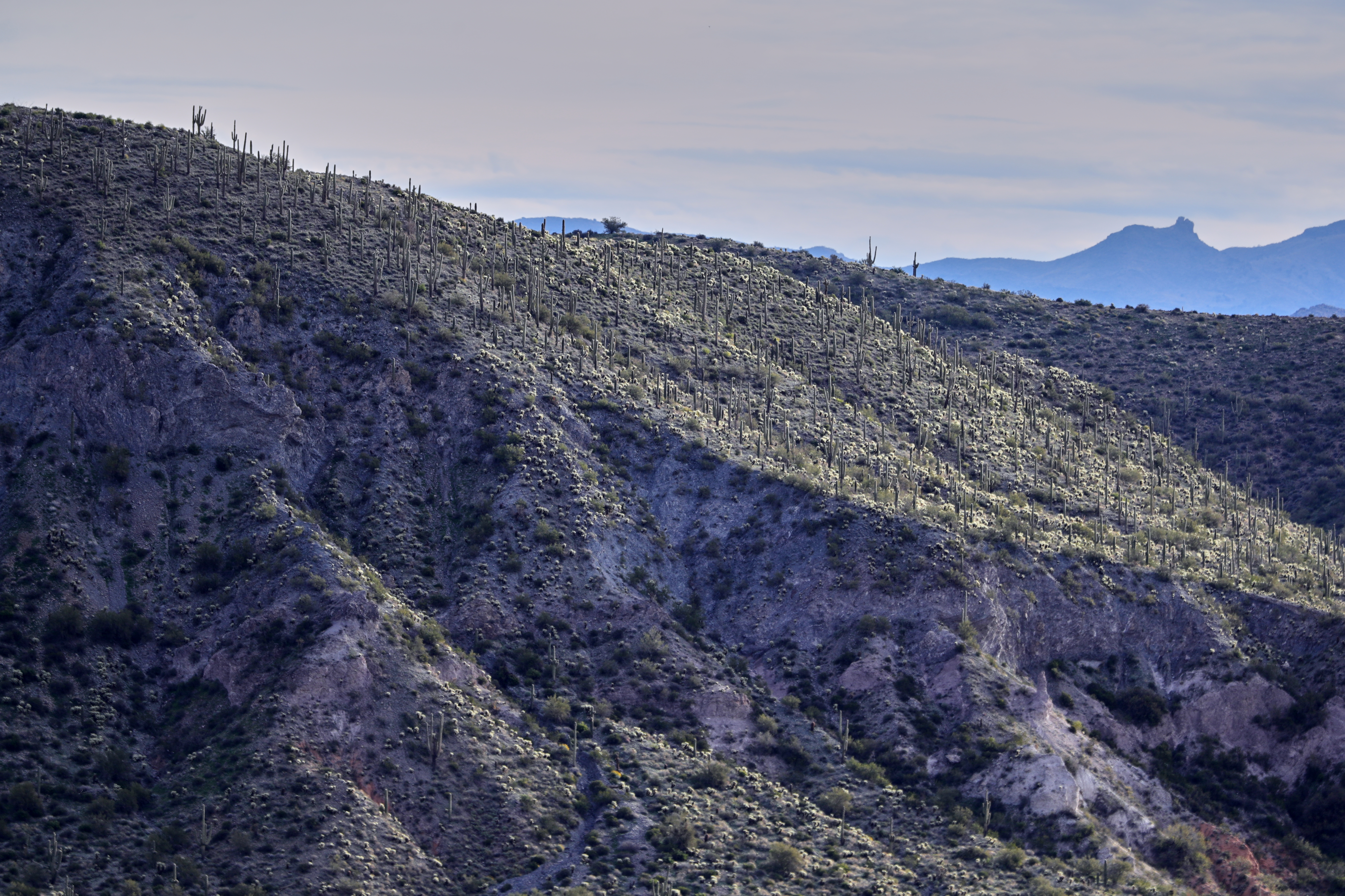
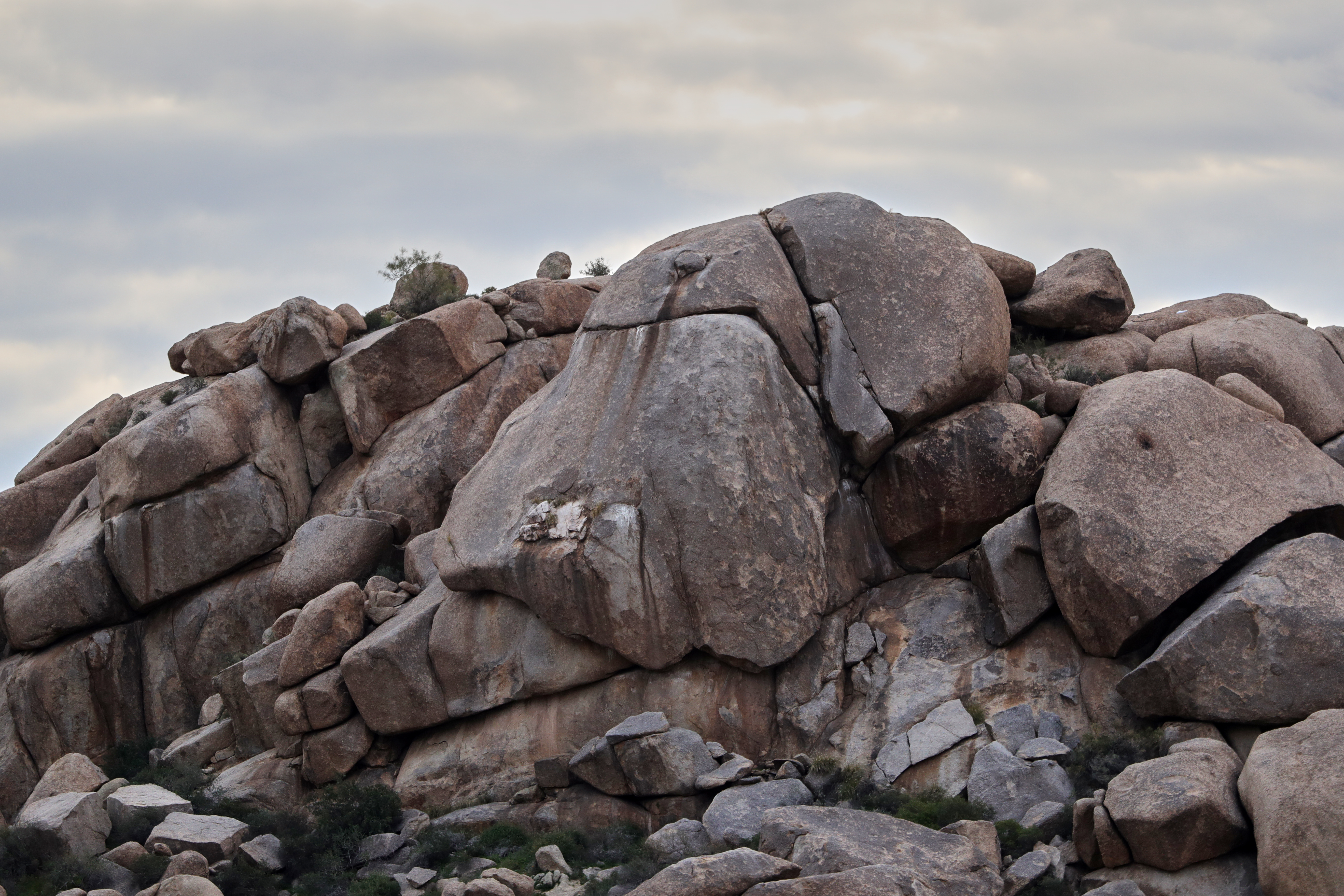
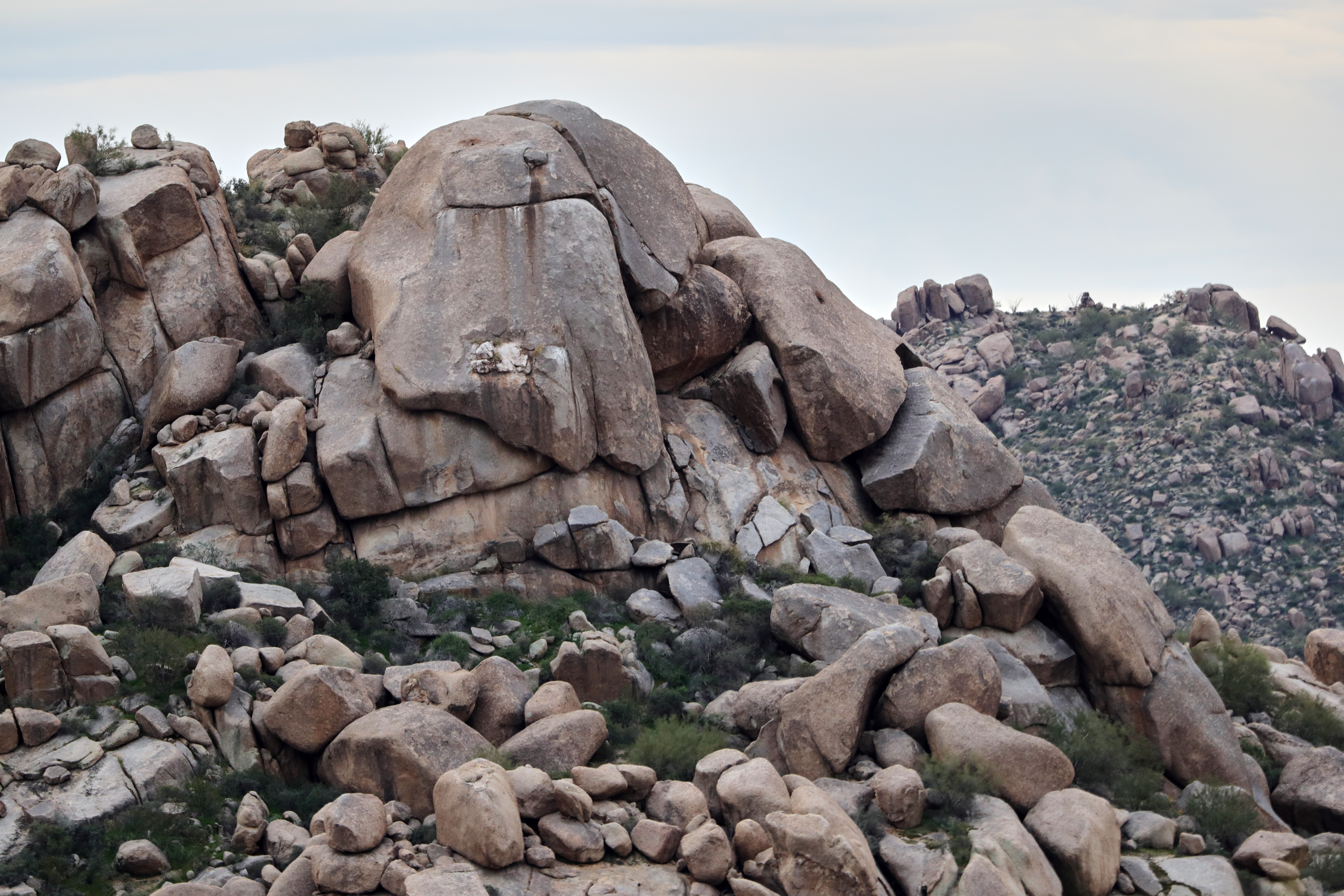
Land of the Giants

Cool Retro Diner Arrow Sign: Big Earl's Greasy Eats, Cave Creek, Close-up, West View

View from Onyx at The Four Seasons Scottsdsle
Shots from Devcon
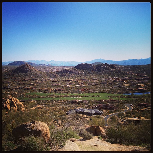
View from #pinnaclepeak highest point #scottsdale
Desert Horizons

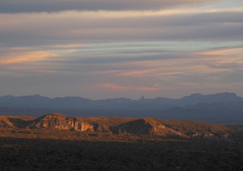
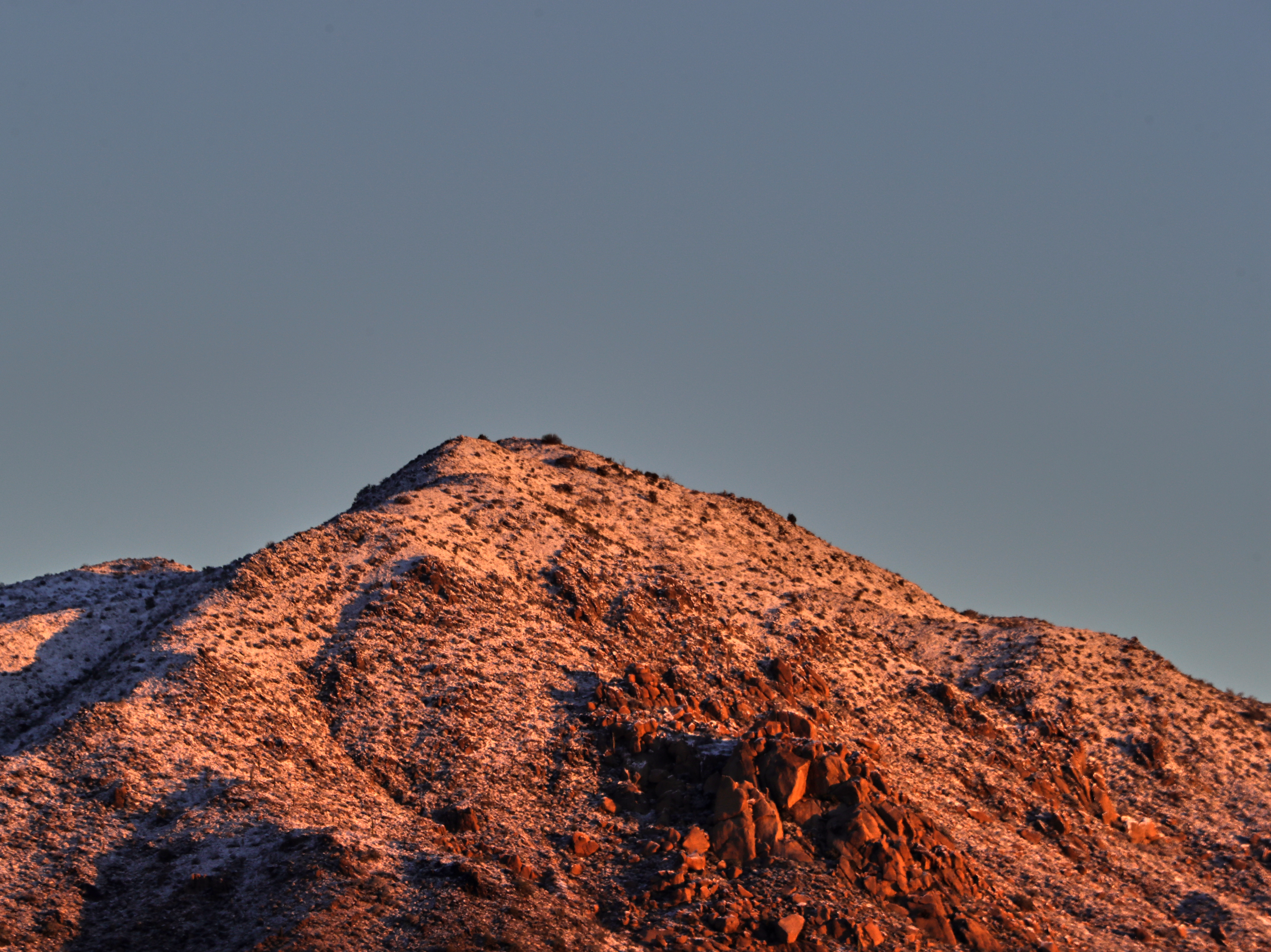
Elephant Mountain Sunrise

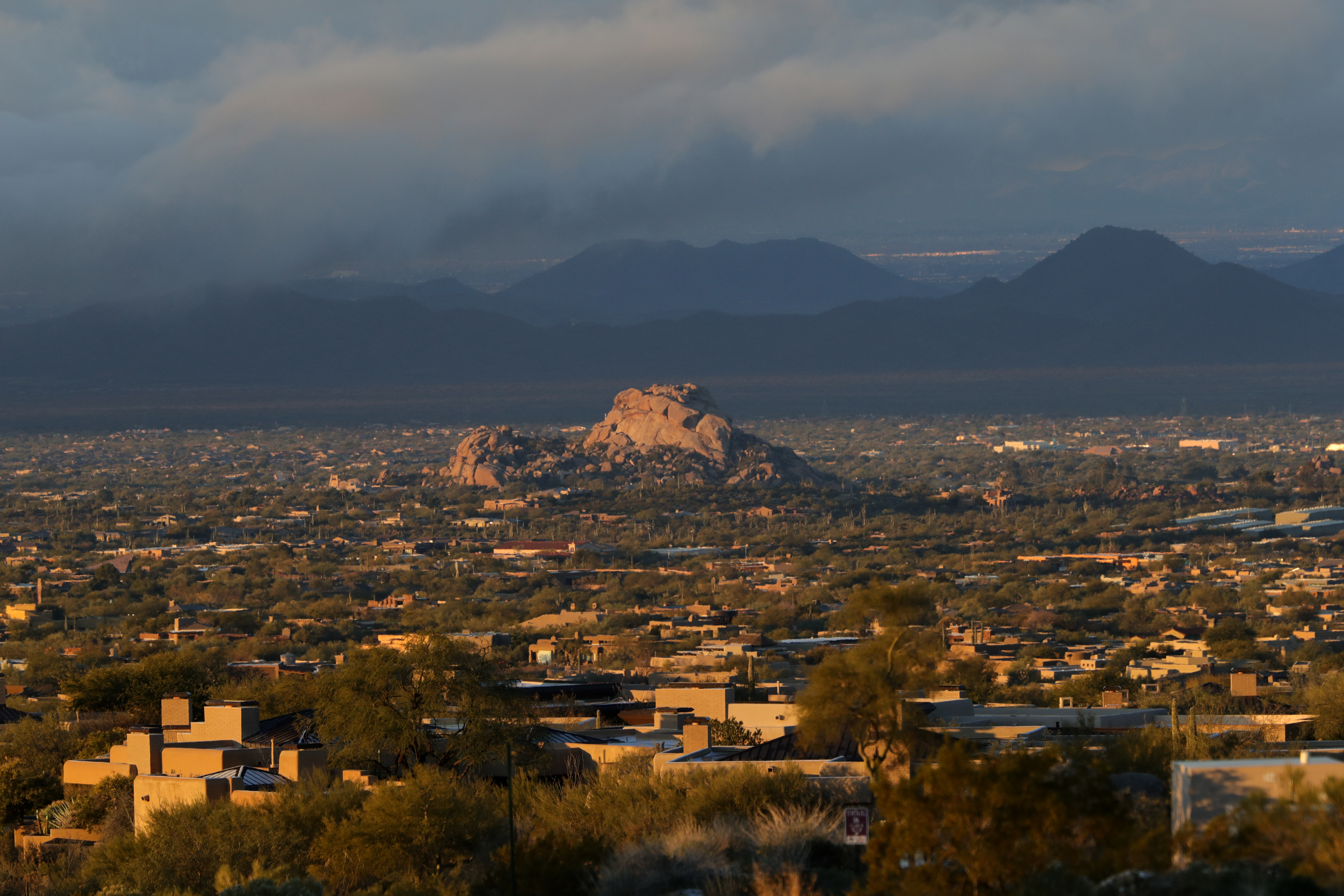
View to southwest approaching Black Mesa - Spur Cross
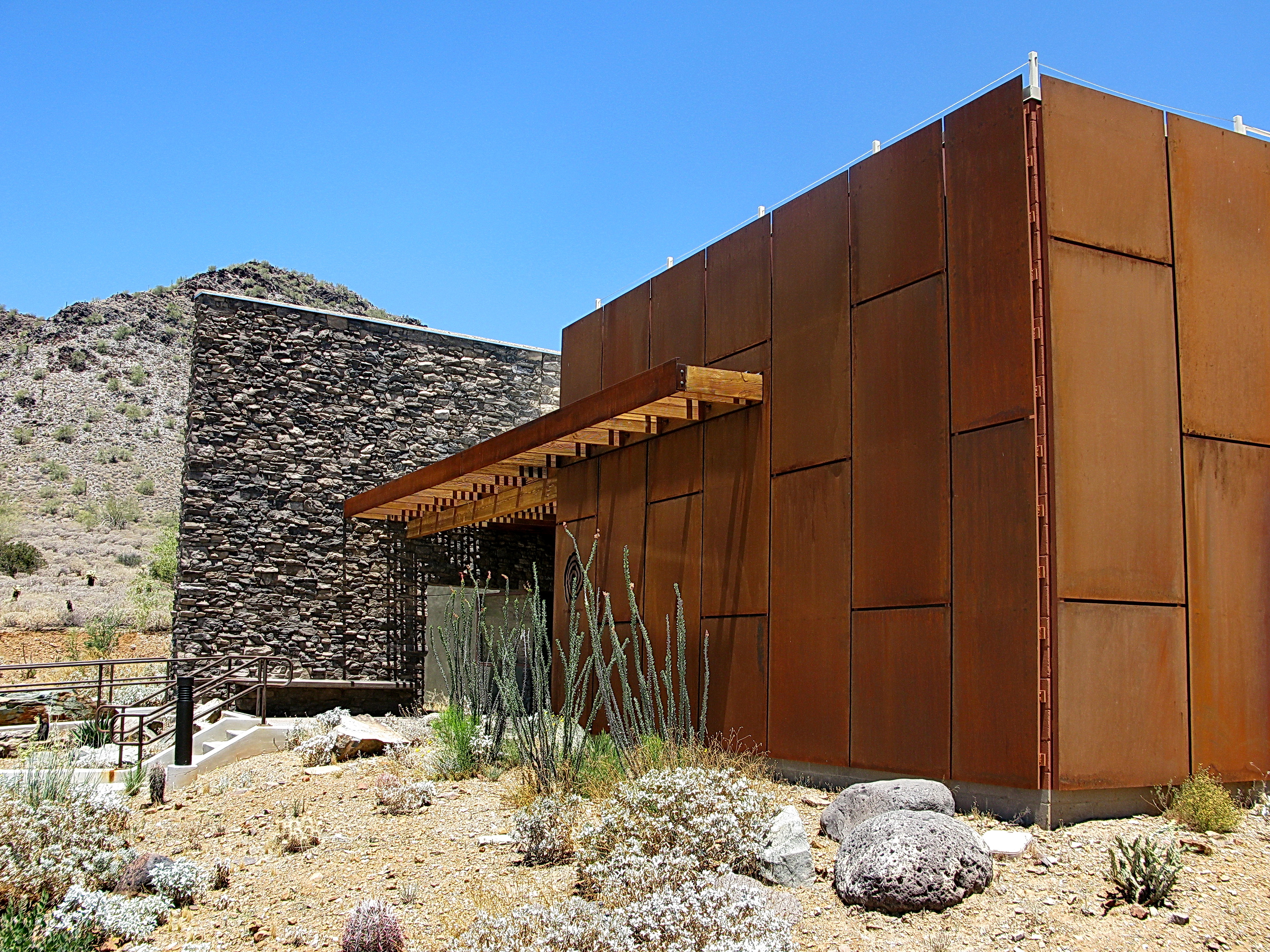
Cave Creek Recreation Area Nature Center
USA Surfaces and Textures

Cool Retro AZ Diner Sign: Big Earl's Greasy Eats, Cave Creek, View to the East
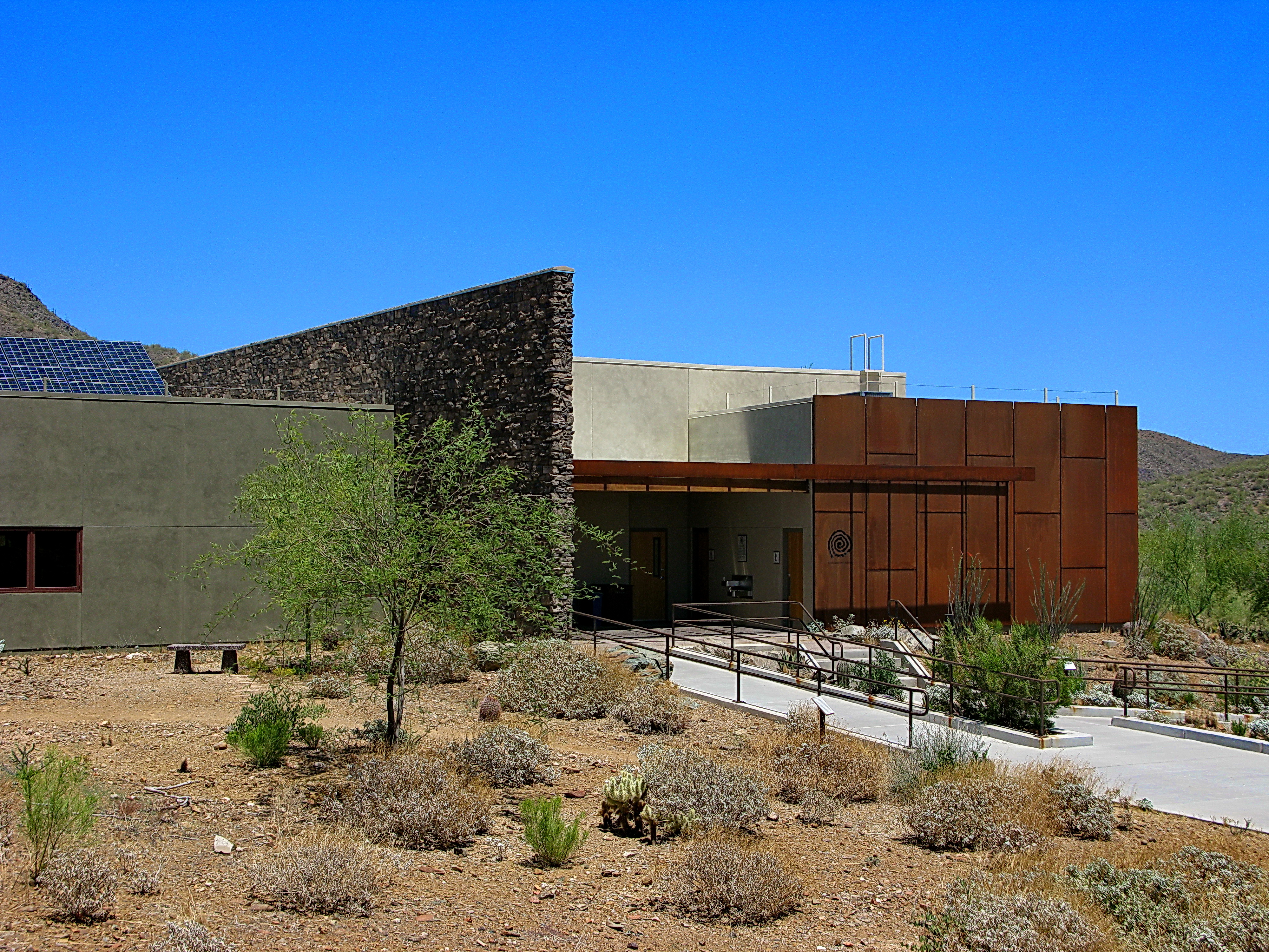
Cave Creek Recreation Area Nature Center

36. View toward McDowell Mountains from Double D Ranch Mine

01-09-19-0044024 1
01-09-19-0043987
01-09-19-0044000

01-01-19-0043812

01-09-19-0044026

01-09-19-0043963
01-09-19-0044052

01-09-19-0043992

01-09-19-0043961
01-01-19-0043824

01-09-19-0043964
01-01-19-0043815
01-01-19-0043811
01-09-19-0044001

01-07-19-0043924
01-09-19-0043978
01-01-19-0043800
01-09-19-0044041
01-07-19-0043923
01-09-19-0044044
01-09-19-0043986
Topographic Map of The Boulders, Scottsdale, AZ, USA
Find elevation by address:

Places near The Boulders, Scottsdale, AZ, USA:
Boulders Golf Club
Boulders Resort & Spa Scottsdale, Curio Collection By Hilton
Boulders Carefree
1252 E Indian Basket Ln
36821 N Tom Darlington Dr
8129 E Arroyo Seco Rd
Sand Flower
Carefree Arizona
37021 N Holiday Ln
Carefree
7724 E Primrose Path
8402 E Nightingale Star Dr #32
Carefree, AZ, USA
Carefree Too
Sierra Boulders
97 Almarte Dr
8645 E Staghorn Ln
Los Cedros Usa
Hawknest Trail
7777 Celestial St
Recent Searches:
- Elevation of Kreuzburger Weg 13, Düsseldorf, Germany
- Elevation of Gateway Blvd SE, Canton, OH, USA
- Elevation of East W.T. Harris Boulevard, E W.T. Harris Blvd, Charlotte, NC, USA
- Elevation of West Sugar Creek, Charlotte, NC, USA
- Elevation of Wayland, NY, USA
- Elevation of Steadfast Ct, Daphne, AL, USA
- Elevation of Lagasgasan, X+CQH, Tiaong, Quezon, Philippines
- Elevation of Rojo Ct, Atascadero, CA, USA
- Elevation of Flagstaff Drive, Flagstaff Dr, North Carolina, USA
- Elevation of Avery Ln, Lakeland, FL, USA