Elevation of East, E, Loda, IL, USA
Location: United States > Illinois > Iroquois County > Artesia Township > Buckley >
Longitude: -88.060824
Latitude: 40.5687563
Elevation: 212m / 696feet
Barometric Pressure: 99KPa
Elevation Map:
Satellite Map:
Related Photos:
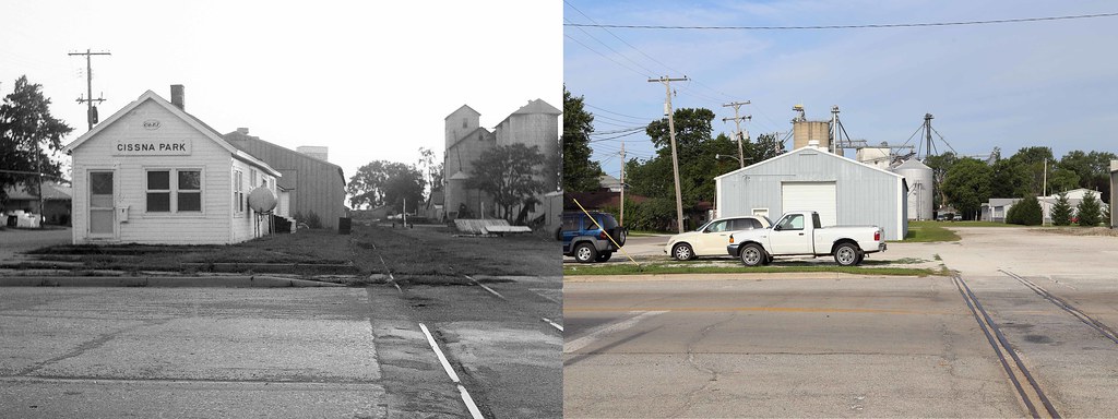
C&EI Depot, Cissna Park, Illinois

Wide Angle Local

View from the right hand seat

Small Town Pride

Finishing the track work

Rail-eye view

Illinois, Paxton, Ford County Sheriff's Residence & Jail (2,419)

Illinois, Paxton, Ford County Sheriff's Residence & Jail (2,419b)

On Great View Amtrak dome car on train 392

On Great View Amtrak dome car on train 392

On Great View Amtrak dome car on train 392

Rural Autumn Twilight

Loda prairie with dickcissel
Interstate 57 Southbound Near Paxton, Illinois

robber fly eats robber fly

Sunset near Roberts Illinois
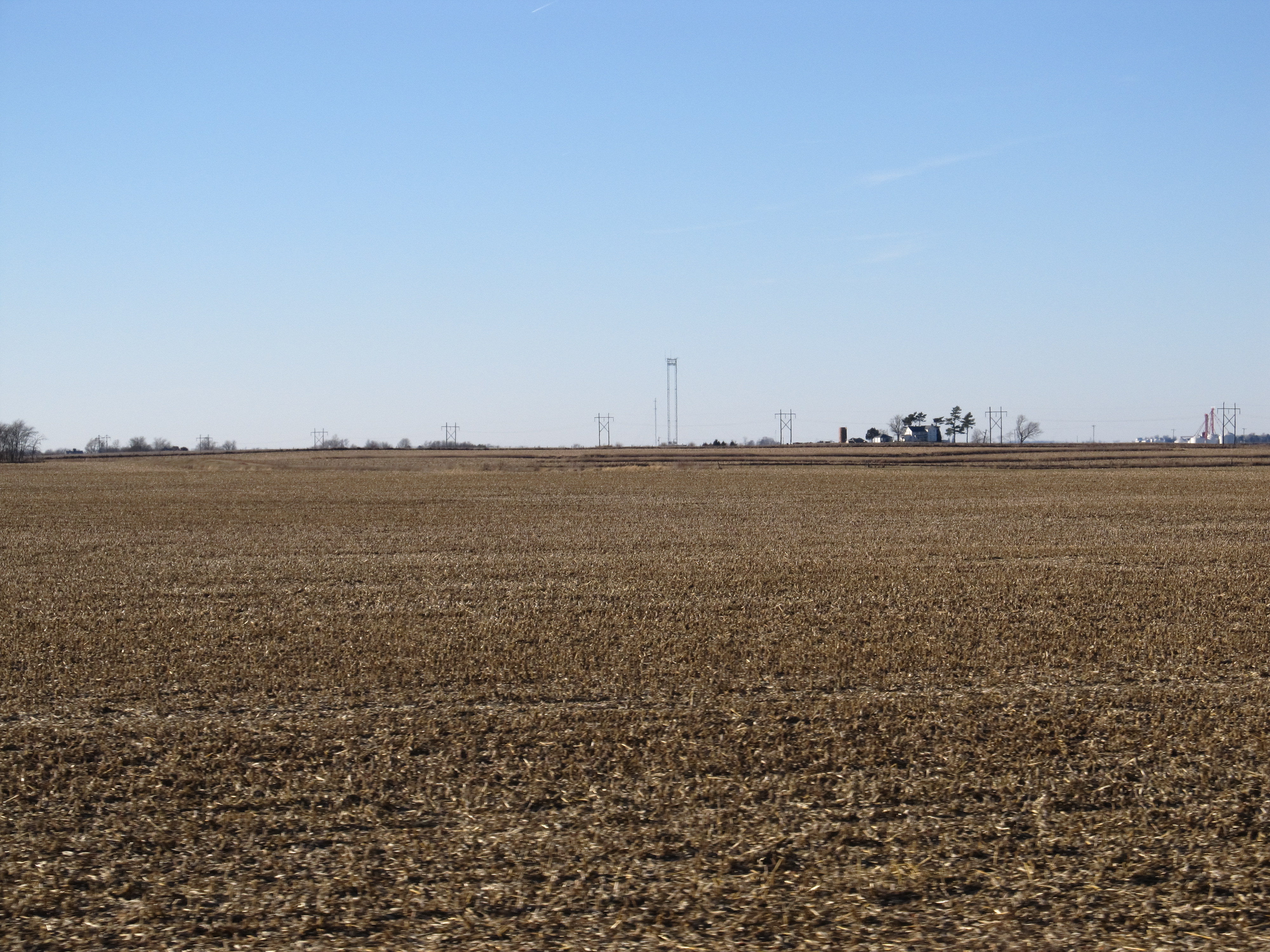
Interstate 57 Southbound Near Paxton, Illinois

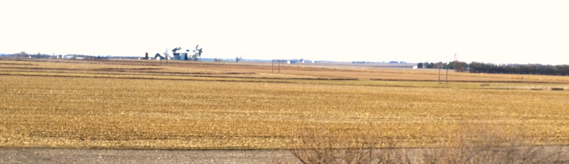
Maize: you call it corn

Calm morning on the lake

I think I can see a fishing boat

Barely a breeze to make waves

#helicopter #agspray #illinois #country #cropdustinghelicopters #helicopter #cornfield

#cornfield #agheli #agspray #illinois
Topographic Map of East, E, Loda, IL, USA
Find elevation by address:

Places near East, E, Loda, IL, USA:
Buckley
N Railroad Ave, Buckley, IL, USA
Artesia Township
N Poplar St, Loda, IL, USA
Loda
Loda Township
E State St, Paxton, IL, USA
Paxton
Pigeon Grove Township
Roberts
Onarga
N Oak St, Onarga, IL, USA
Patton Township
Ford County
Cissna Park
IL-49, Cissna Park, IL, USA
Onarga Township
Melvin
Ludlow
Thomas St, Ludlow, IL, USA
Recent Searches:
- Elevation of Woodland Oak Pl, Thousand Oaks, CA, USA
- Elevation of Brownsdale Rd, Renfrew, PA, USA
- Elevation of Corcoran Ln, Suffolk, VA, USA
- Elevation of Mamala II, Sariaya, Quezon, Philippines
- Elevation of Sarangdanda, Nepal
- Elevation of 7 Waterfall Way, Tomball, TX, USA
- Elevation of SW 57th Ave, Portland, OR, USA
- Elevation of Crocker Dr, Vacaville, CA, USA
- Elevation of Pu Ngaol Community Meeting Hall, HWHM+3X7, Krong Saen Monourom, Cambodia
- Elevation of Royal Ontario Museum, Queens Park, Toronto, ON M5S 2C6, Canada