Elevation of Eagle Peak, Wyoming, USA
Location: United States > Wyoming > Cody >
Longitude: -110.02459
Latitude: 44.3215978
Elevation: 3354m / 11004feet
Barometric Pressure: 67KPa
Elevation Map:
Satellite Map:
Related Photos:

Yellowstone, our first view

Morning Frost in Yellowstone

20160728-IMG_9602i

99C6D2A4-6723-4EC0-867D-2AB95A02DFD0

Trumpeter Swan
Day 1

Day 1

Day 1: A park ranger comes to visit us :)

Day 2: Heading into the Two Ocean Plateau, the most remote geographic location in the Lower 48

Day 2

Day 2

Day 2

Day 2

Upper Yellowstone Falls [scanned]

Lower Yellowstone Falls [scanned]

Upper Yellowstone Falls [scanned]
Topographic Map of Eagle Peak, Wyoming, USA
Find elevation by address:

Places near Eagle Peak, Wyoming, USA:
Pahaska Tepee Resort
Creekside Lodge At Yellowstone
Lake Butte Overlook
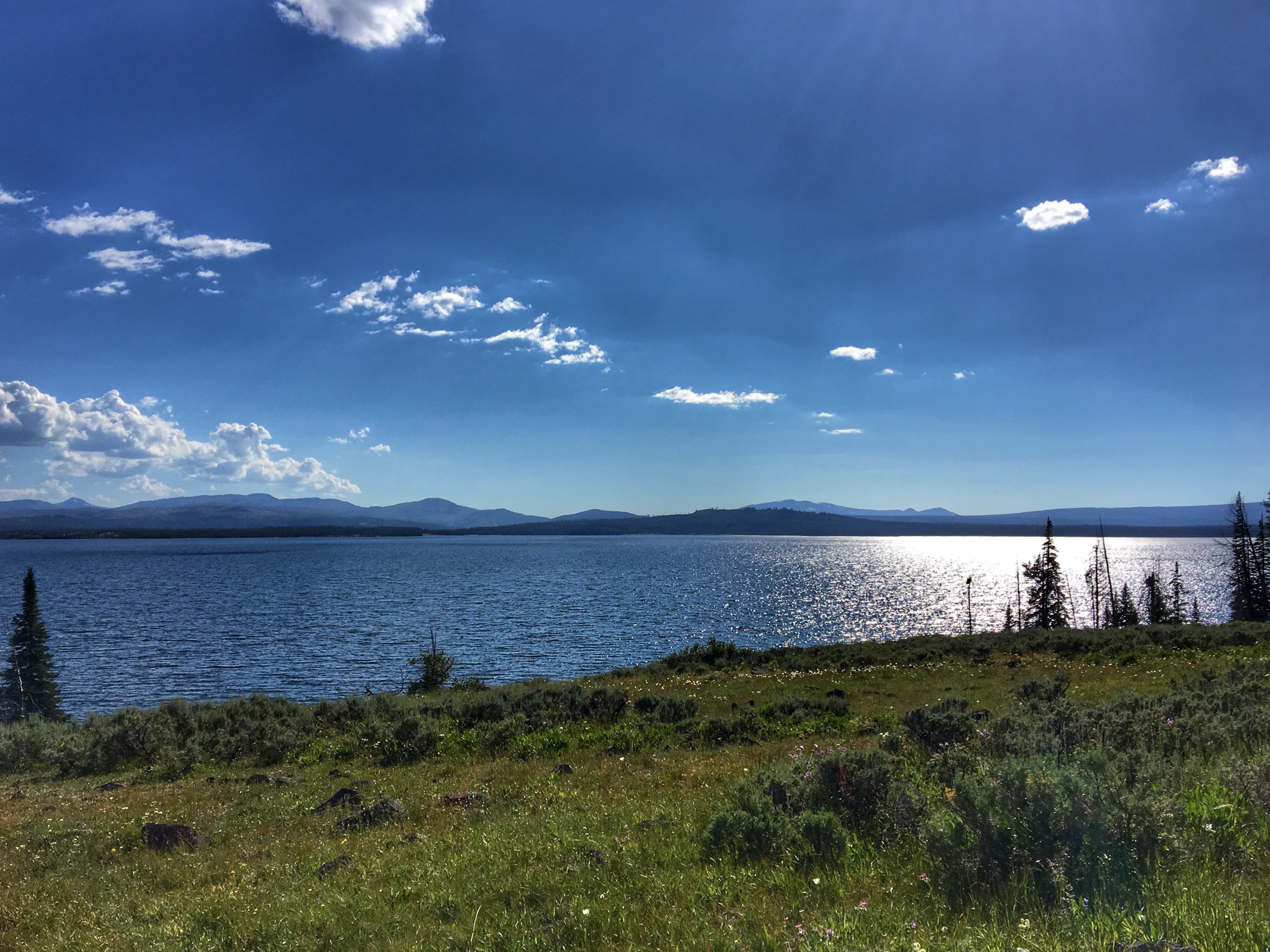
Yellowstone Lake
Big Springs
Fishing Bridge Rv Park
1 Grand Loop Rd
1 Grand Loop Rd, Yellowstone National Park, WY, USA
Lake Lodge
Lake Yellowstone Hotel
Lake Yellowstone Hotel Dining Room
Bridger-teton National Forest
24260 Turpin Meadow Loop
Unnamed Road
24270 Turpin Meadow Loop
North Breccia Cliffs
Togwotee Mountain Lodge
Togwotee Mountain Lodge
27655 Us-26
27655 Us-26
Recent Searches:
- Elevation of 7 Waterfall Way, Tomball, TX, USA
- Elevation of SW 57th Ave, Portland, OR, USA
- Elevation of Crocker Dr, Vacaville, CA, USA
- Elevation of Pu Ngaol Community Meeting Hall, HWHM+3X7, Krong Saen Monourom, Cambodia
- Elevation of Royal Ontario Museum, Queens Park, Toronto, ON M5S 2C6, Canada
- Elevation of Groblershoop, South Africa
- Elevation of Power Generation Enterprises | Industrial Diesel Generators, Oak Ave, Canyon Country, CA, USA
- Elevation of Chesaw Rd, Oroville, WA, USA
- Elevation of N, Mt Pleasant, UT, USA
- Elevation of 6 Rue Jules Ferry, Beausoleil, France