Elevation of Bridger-Teton National Forest, Wyoming, United States
Location: United States > Wyoming > Moran >
Longitude: -110.24265
Latitude: 43.9260159
Elevation: 2610m / 8563feet
Barometric Pressure: 74KPa
Elevation Map:
Satellite Map:
Related Photos:
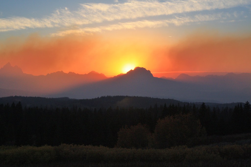
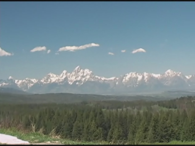
Togwotee Sunrise
08.09.11
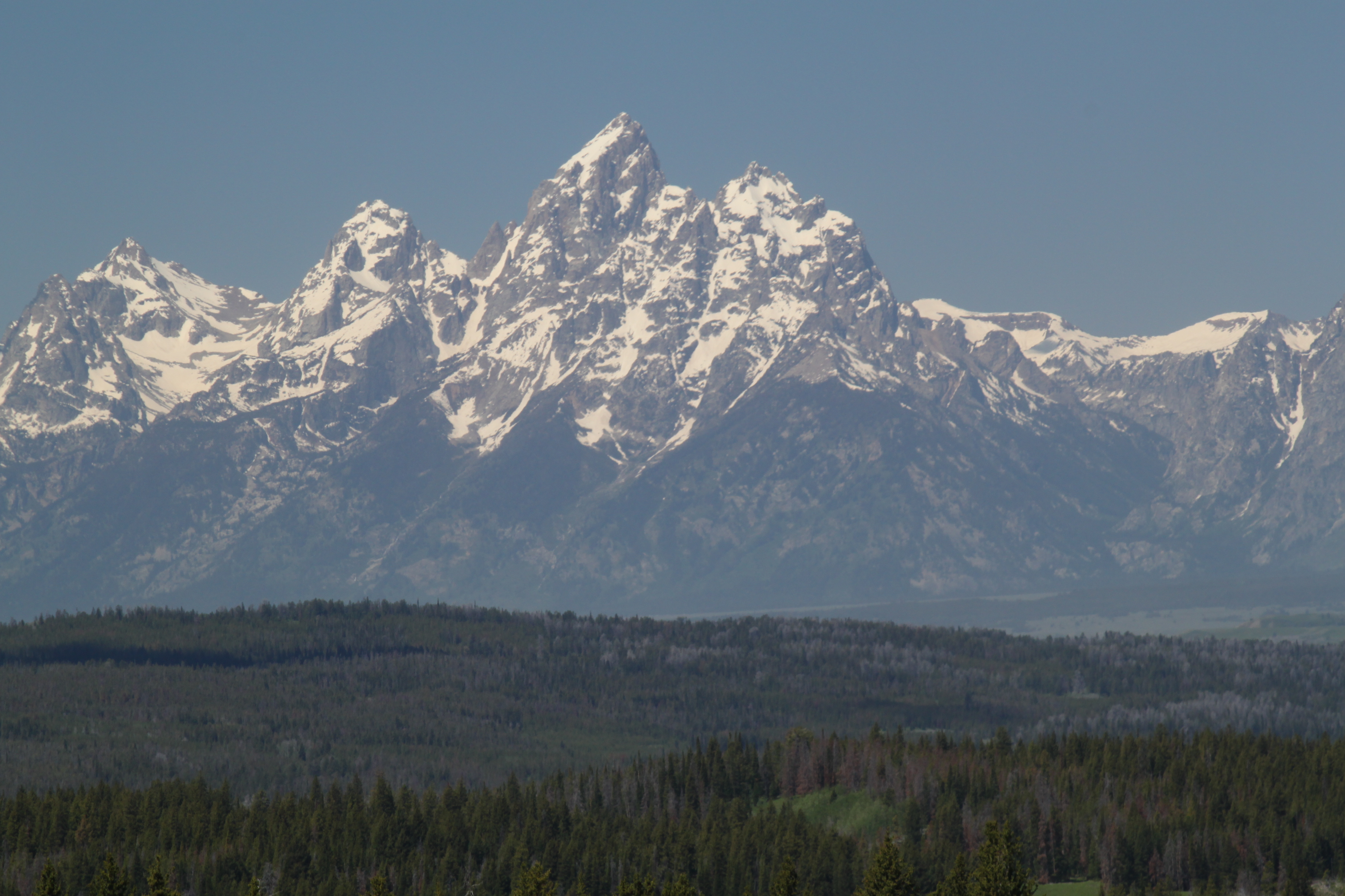
Mt. Moran sunset
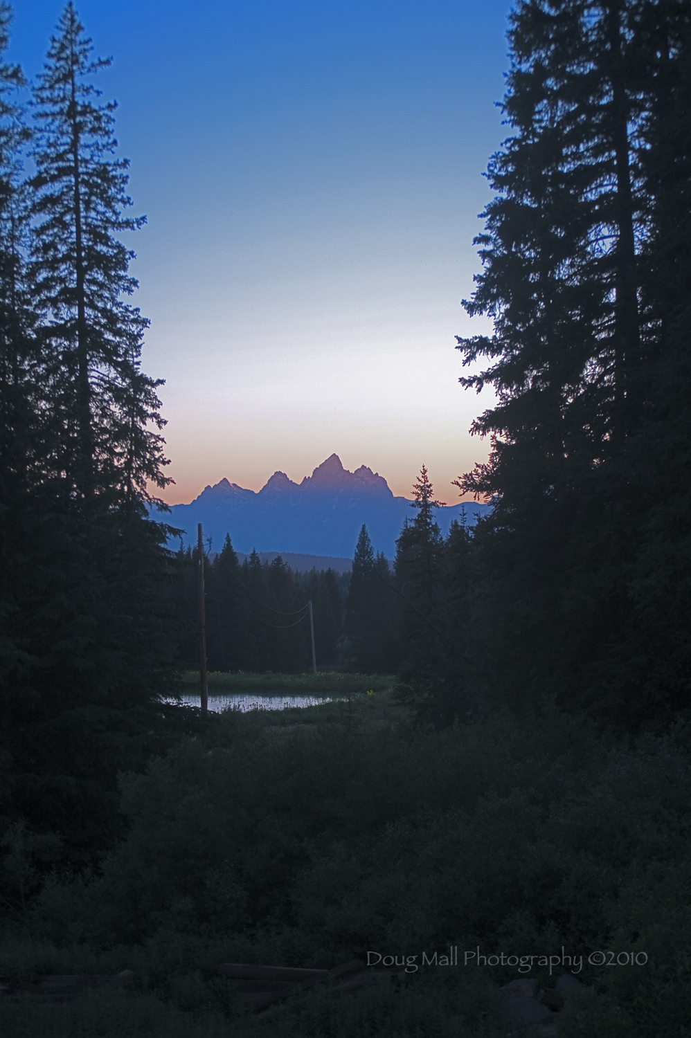
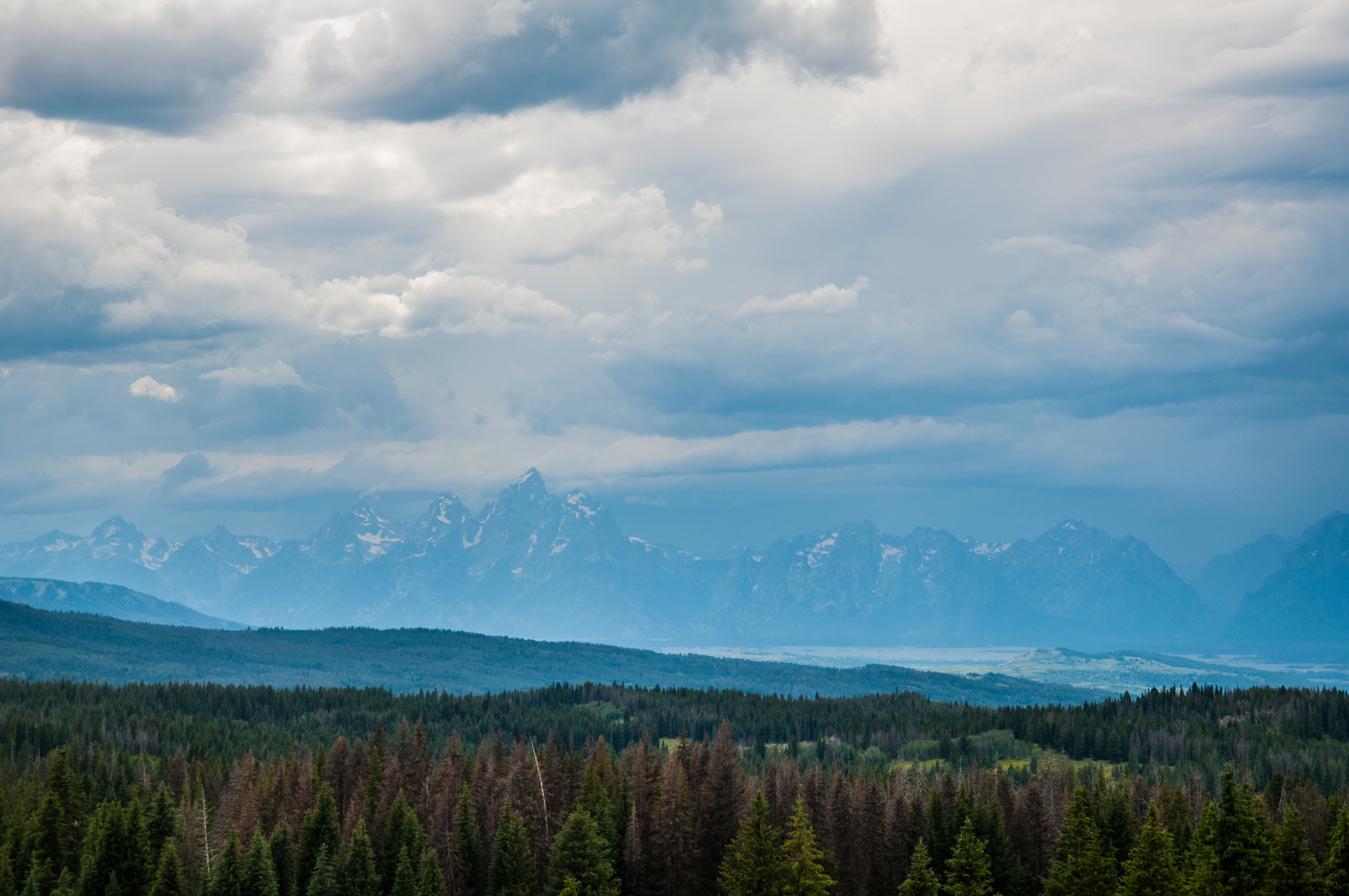
Teton Sunset

Teton Sunset - Close-up
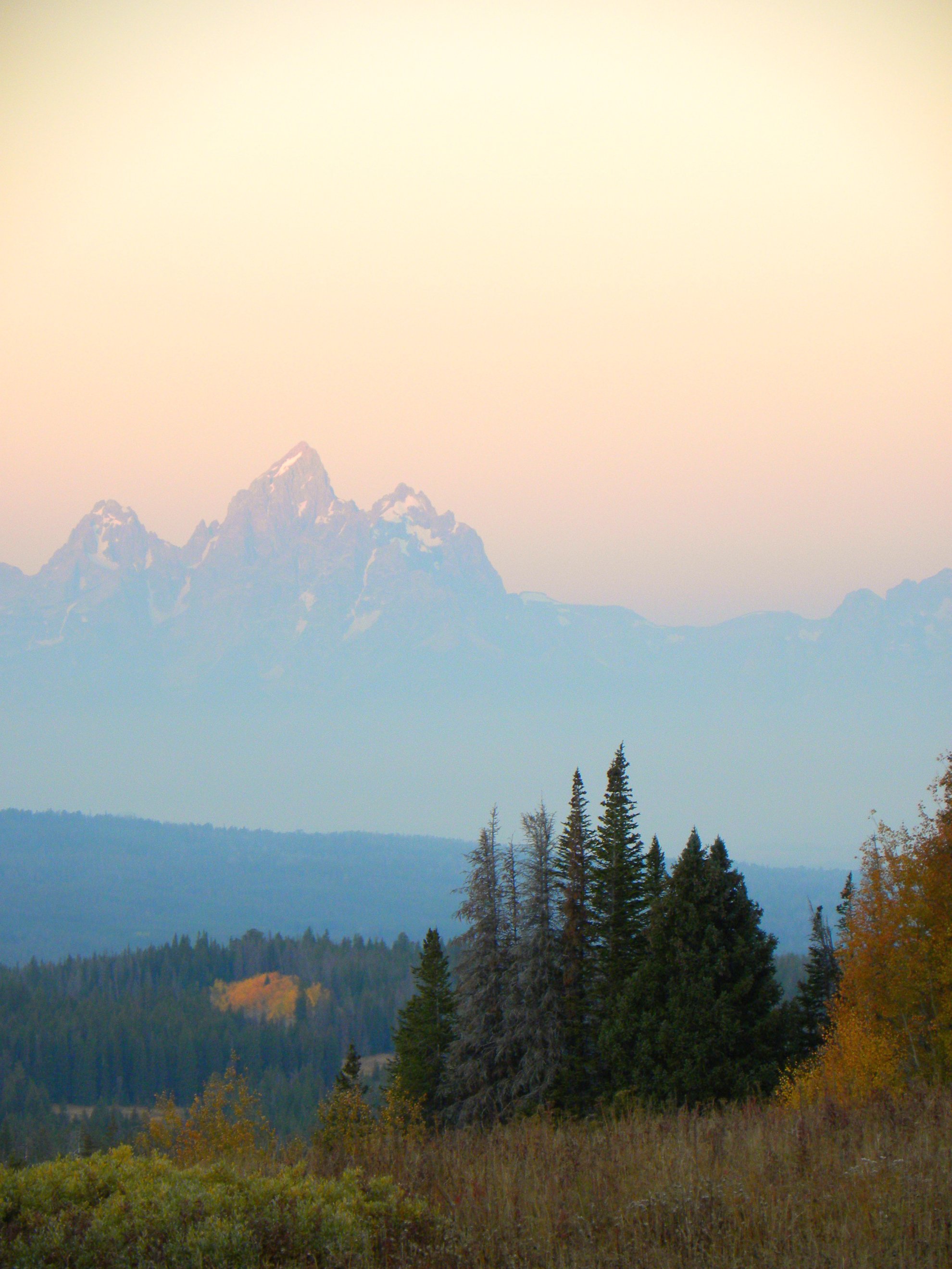
togwotee pass view
the view from Togwotee Pass
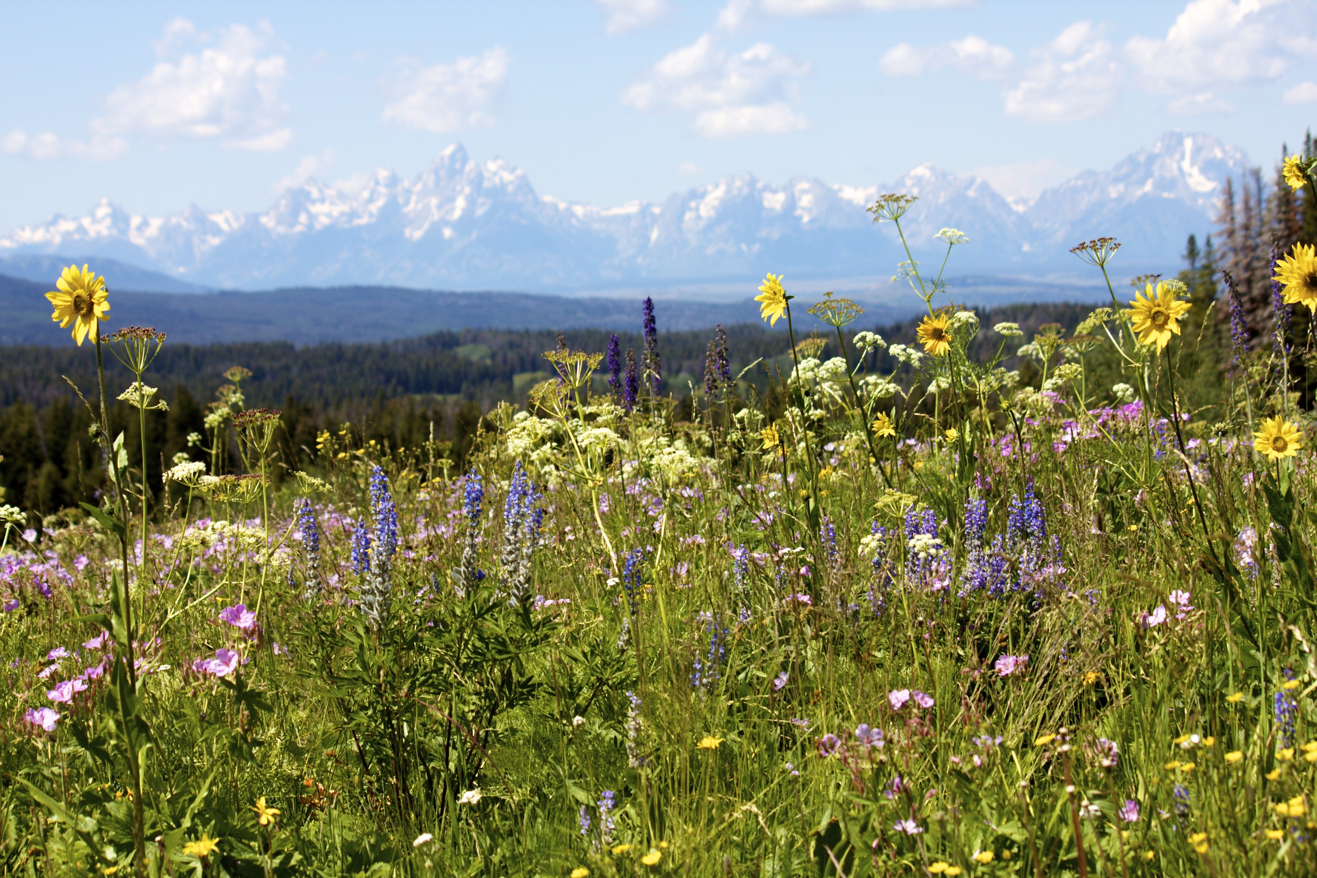
Teton View
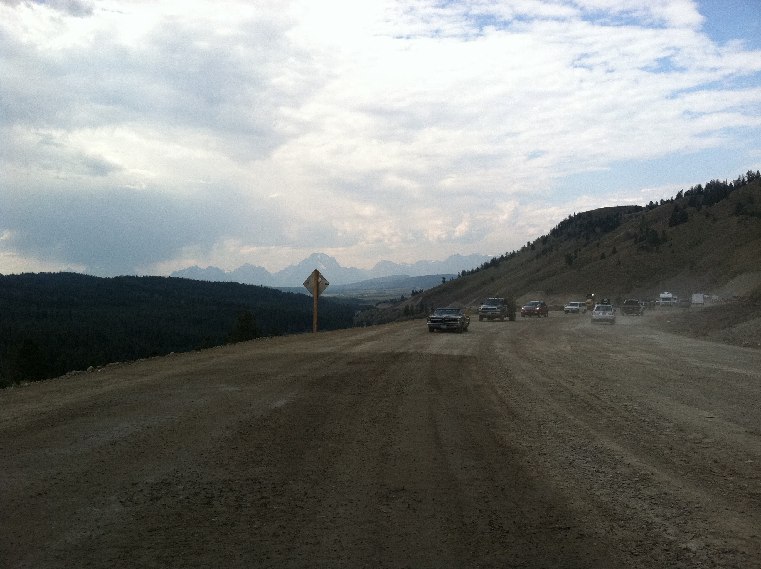
View of the road west of the Pass.
Topographic Map of Bridger-Teton National Forest, Wyoming, United States
Find elevation by address:

Places near Bridger-Teton National Forest, Wyoming, United States:
24260 Turpin Meadow Loop
24270 Turpin Meadow Loop
Togwotee Mountain Lodge
Togwotee Mountain Lodge
27655 Us-26
27655 Us-26
Hatchet Resort
Big Springs
Gun Barrel Flats Road
North Breccia Cliffs
Wind River Lake Picnic Site
U.s. Highway 26
Moran
U.s. Highway 89
Us-287 & Us-26
Us-287 & Us-26
Elk
Jackson Lake Lodge Road
Grand Teton Lodge Company
Jackson Lake Lodge
Recent Searches:
- Elevation of Corso Fratelli Cairoli, 35, Macerata MC, Italy
- Elevation of Tallevast Rd, Sarasota, FL, USA
- Elevation of 4th St E, Sonoma, CA, USA
- Elevation of Black Hollow Rd, Pennsdale, PA, USA
- Elevation of Oakland Ave, Williamsport, PA, USA
- Elevation of Pedrógão Grande, Portugal
- Elevation of Klee Dr, Martinsburg, WV, USA
- Elevation of Via Roma, Pieranica CR, Italy
- Elevation of Tavkvetili Mountain, Georgia
- Elevation of Hartfords Bluff Cir, Mt Pleasant, SC, USA