Elevation of Eagle, AK, USA
Location: United States > Alaska > Southeast Fairbanks >
Longitude: -141.2
Latitude: 64.7880556
Elevation: 261m / 856feet
Barometric Pressure: 98KPa
Elevation Map:
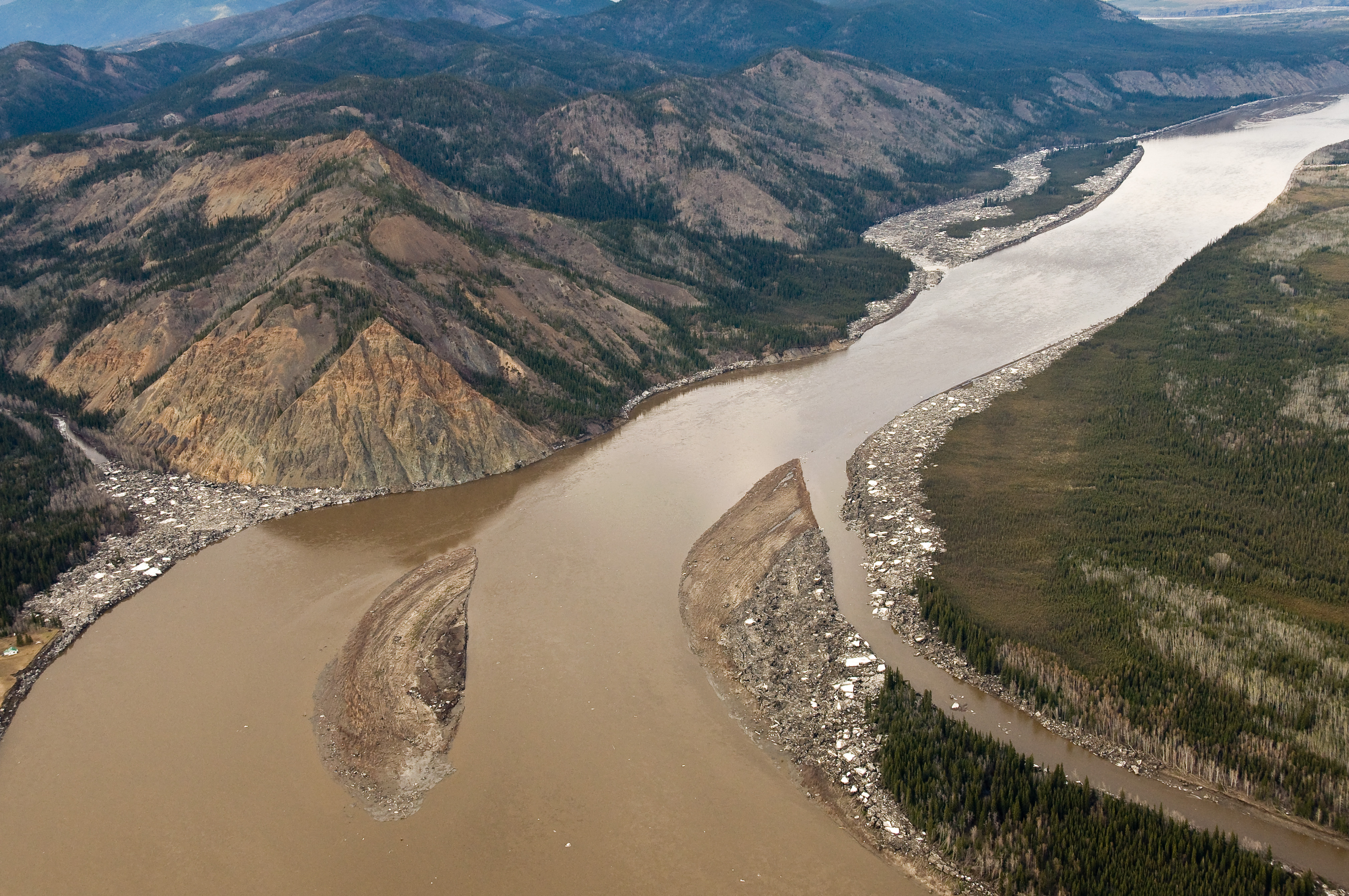
Satellite Map:
Related Photos:

_D3C3508.JPG

_D3C3713.JPG
_D3C3756.JPG
_D3C3625.JPG
_D2X6147.jpg

_D3C3626.JPG
_D3C3580.JPG
_D3C3655.JPG
_D3C3746.JPG
_D3C3685.JPG
_D3C3617.JPG
_D3C3657.JPG
_D3C3616.JPG
_D3C3531.JPG
_D3C3750.JPG
_D3C3466.JPG
_D2X6103.jpg
_D2X6102.jpg
_D3C3698.JPG
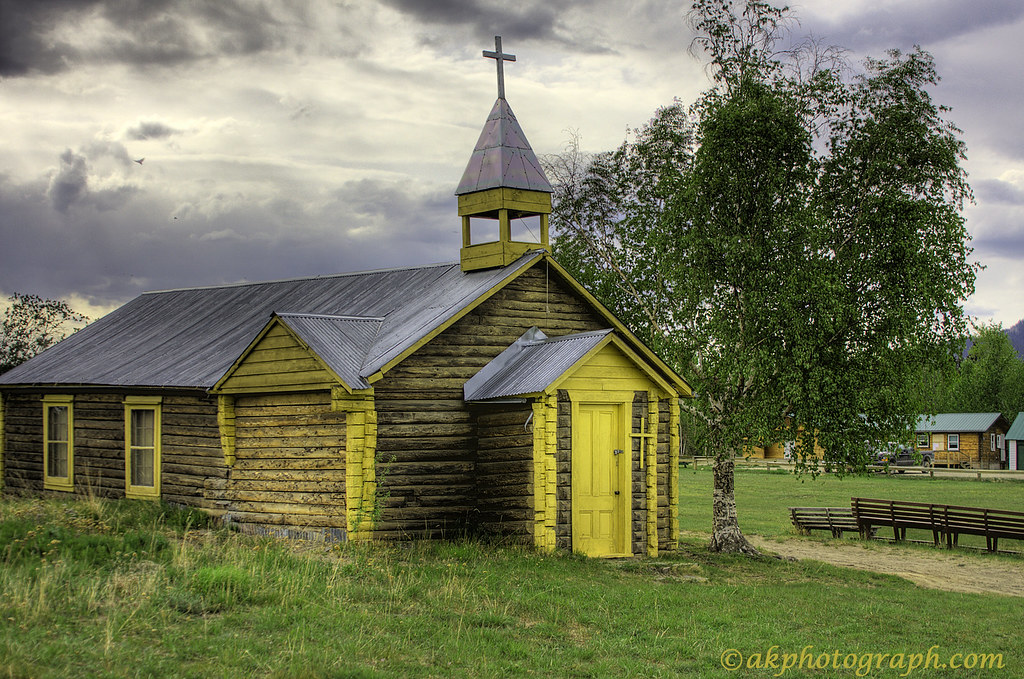
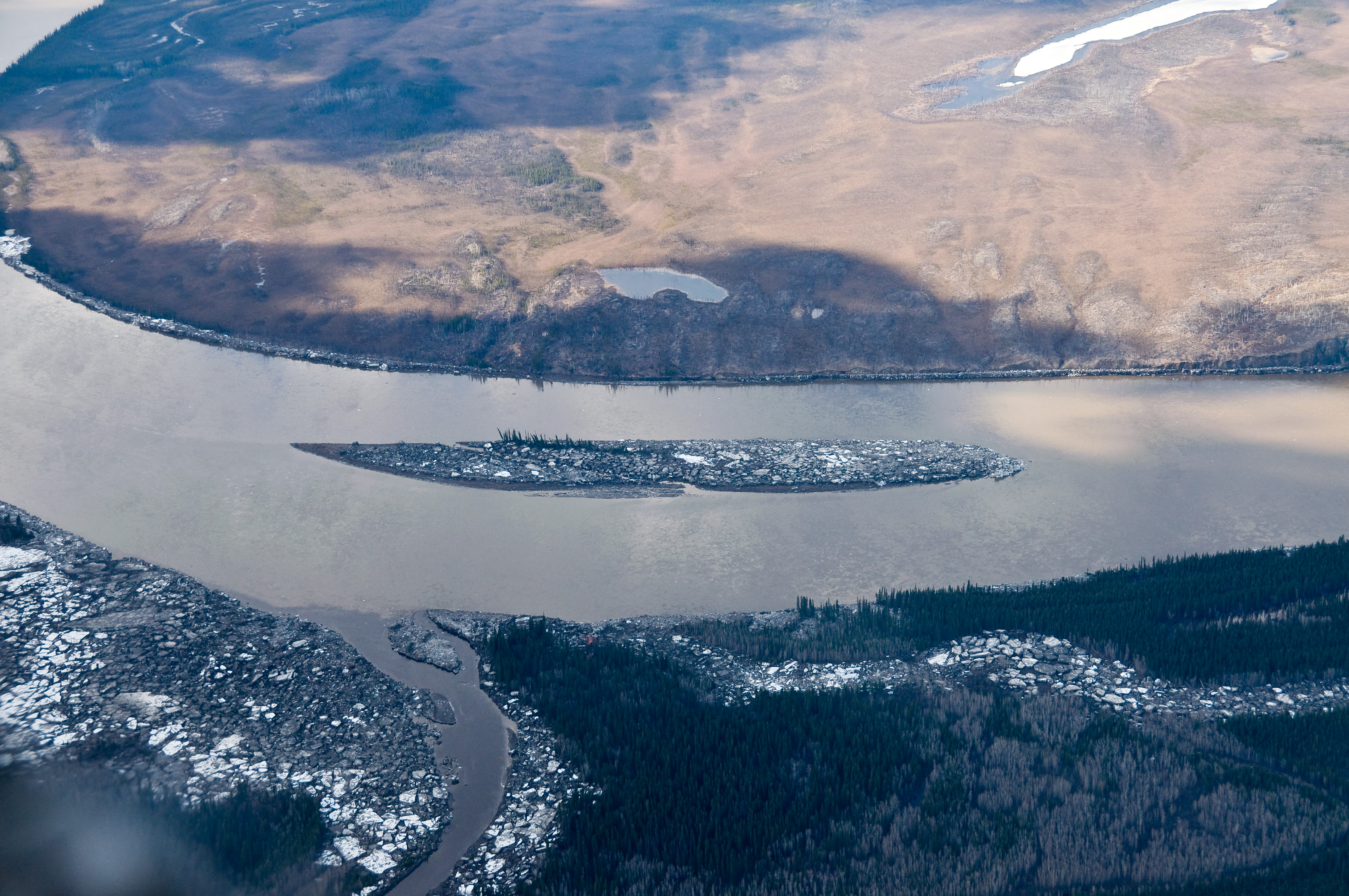
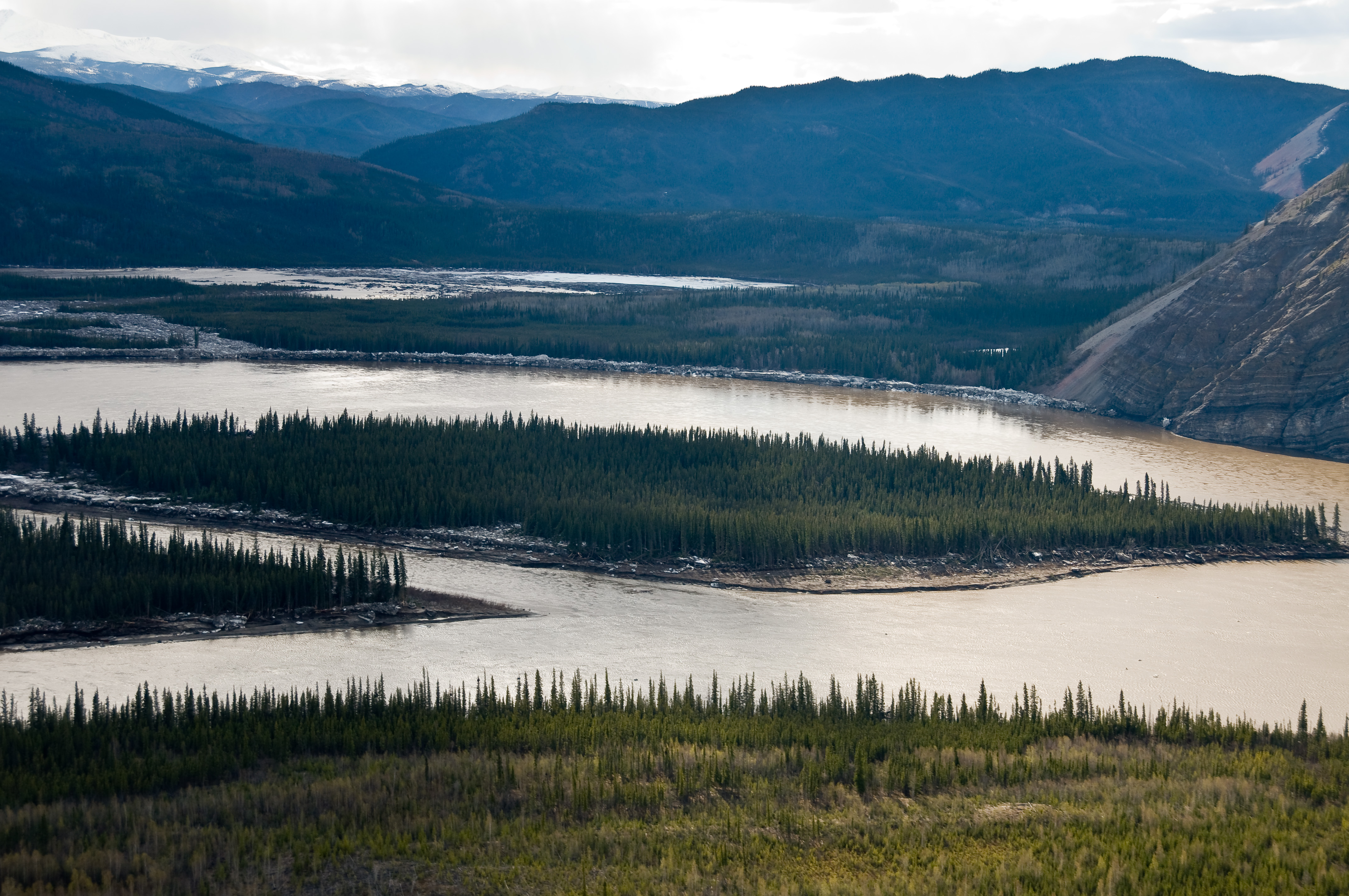
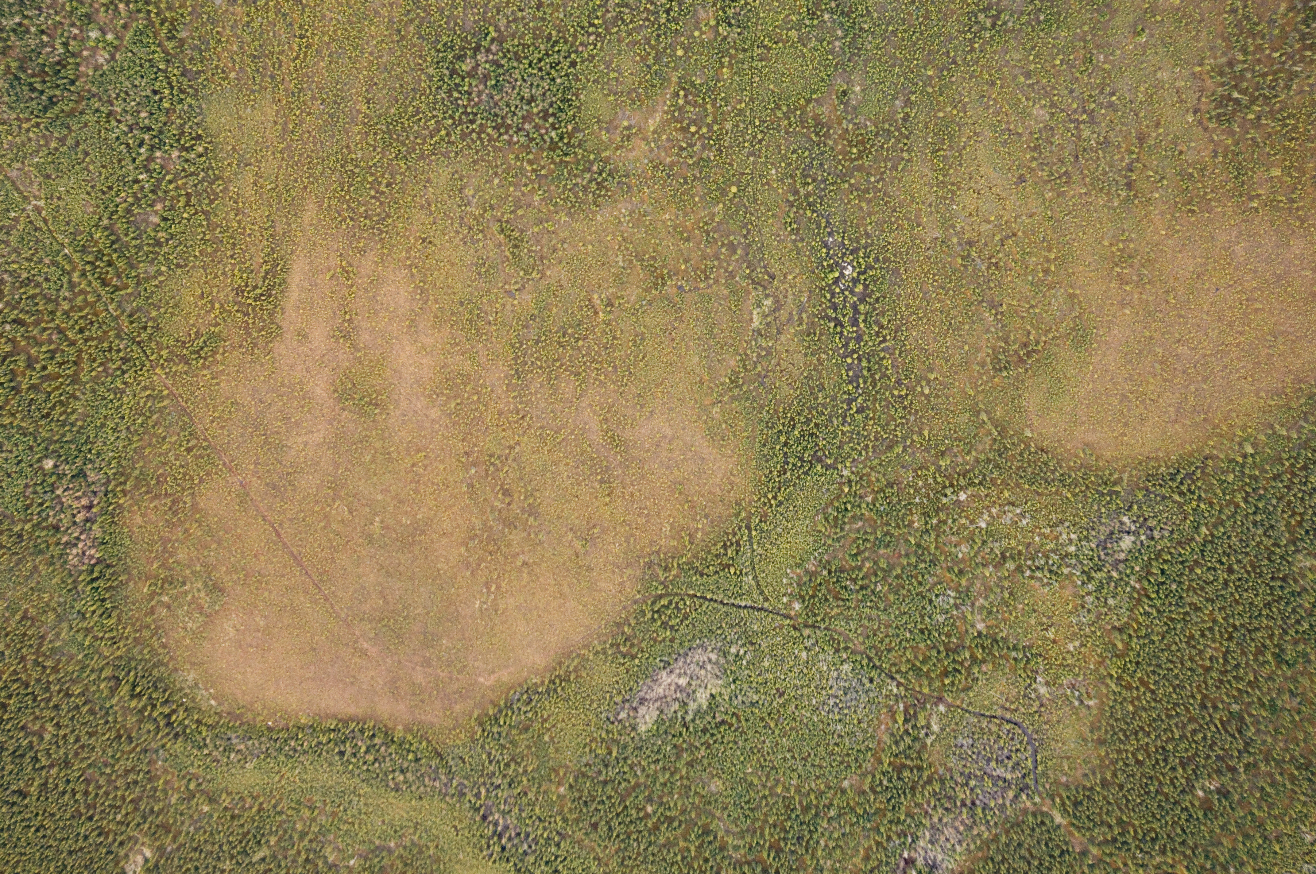
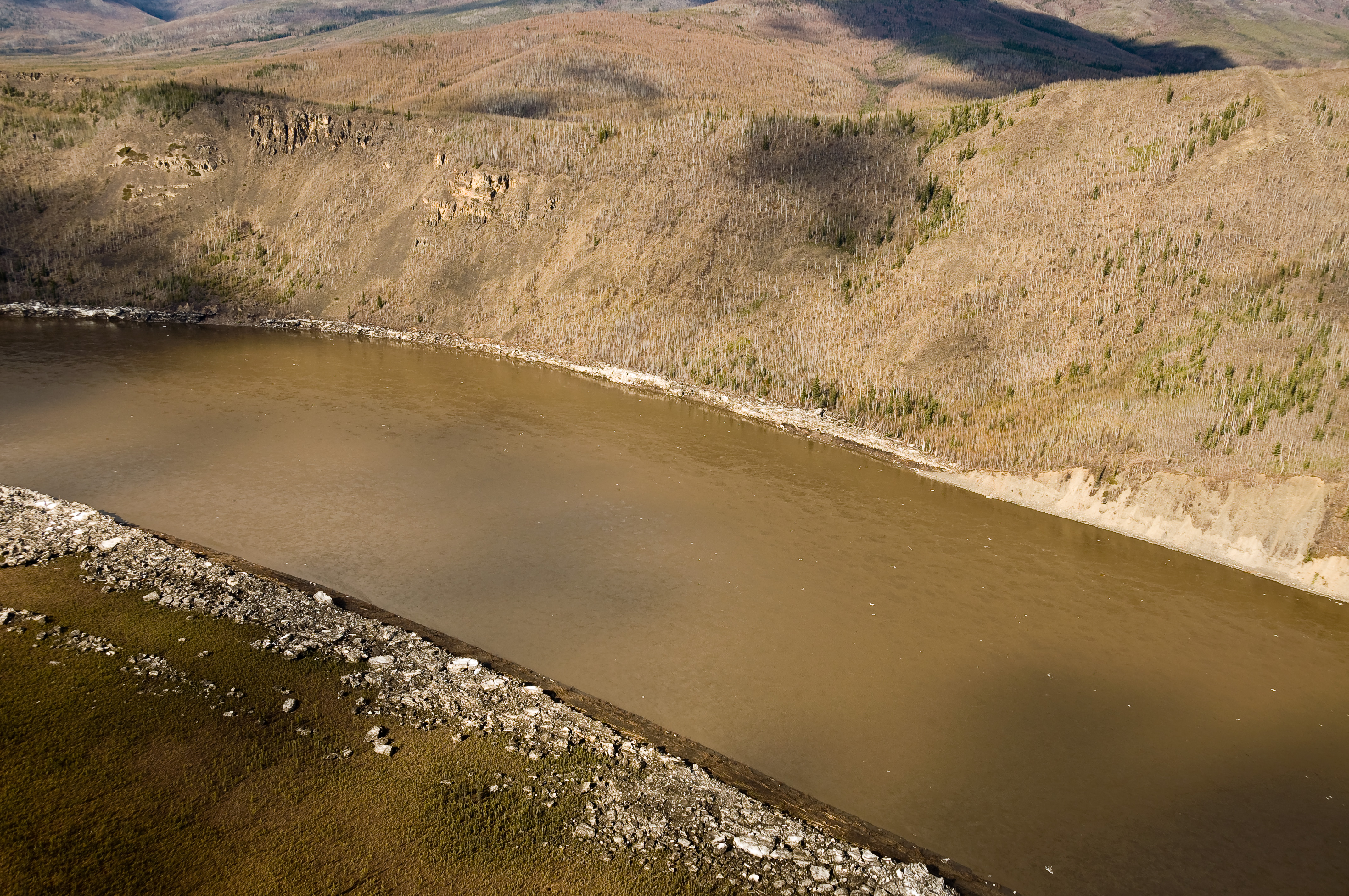
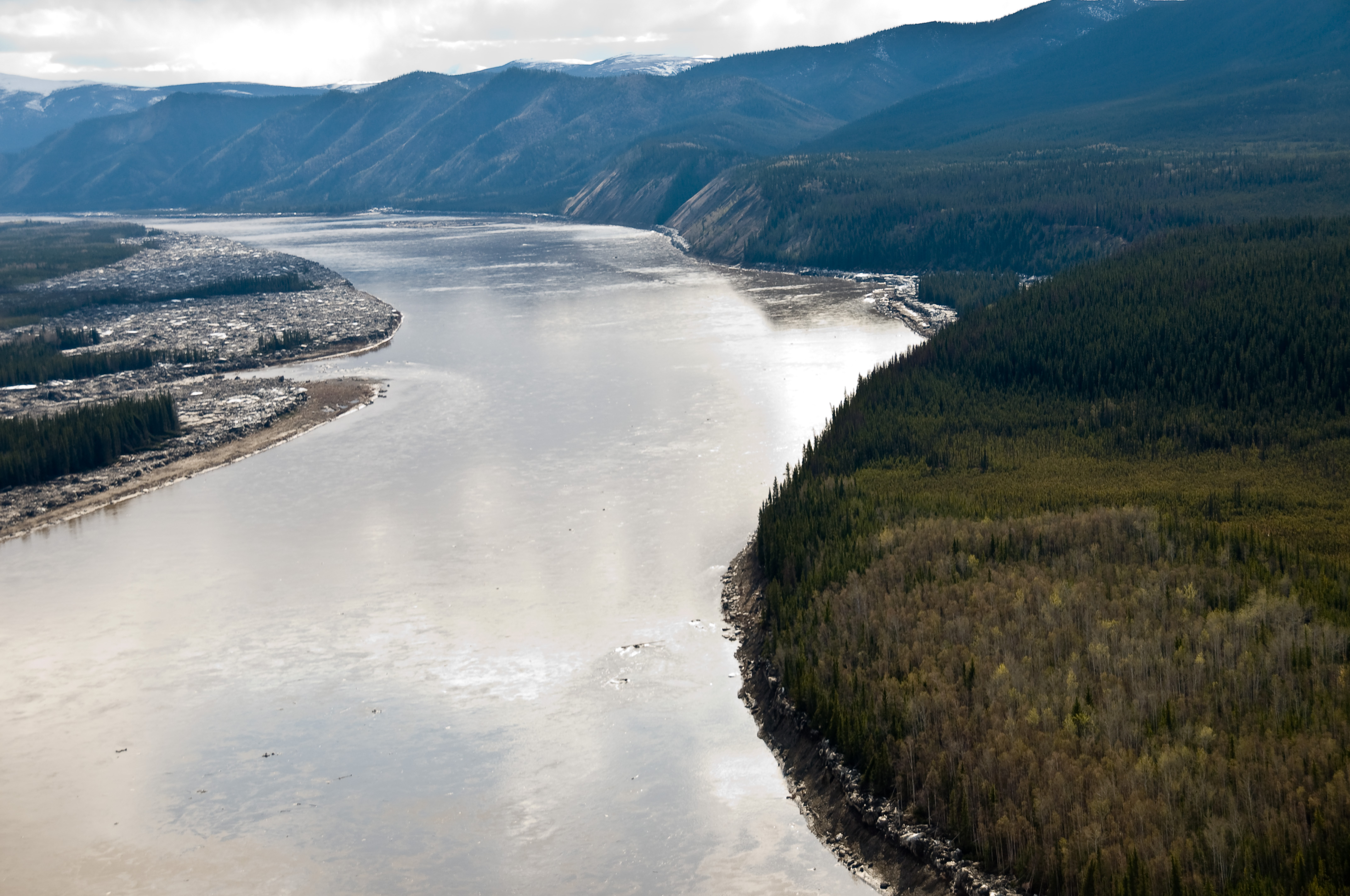
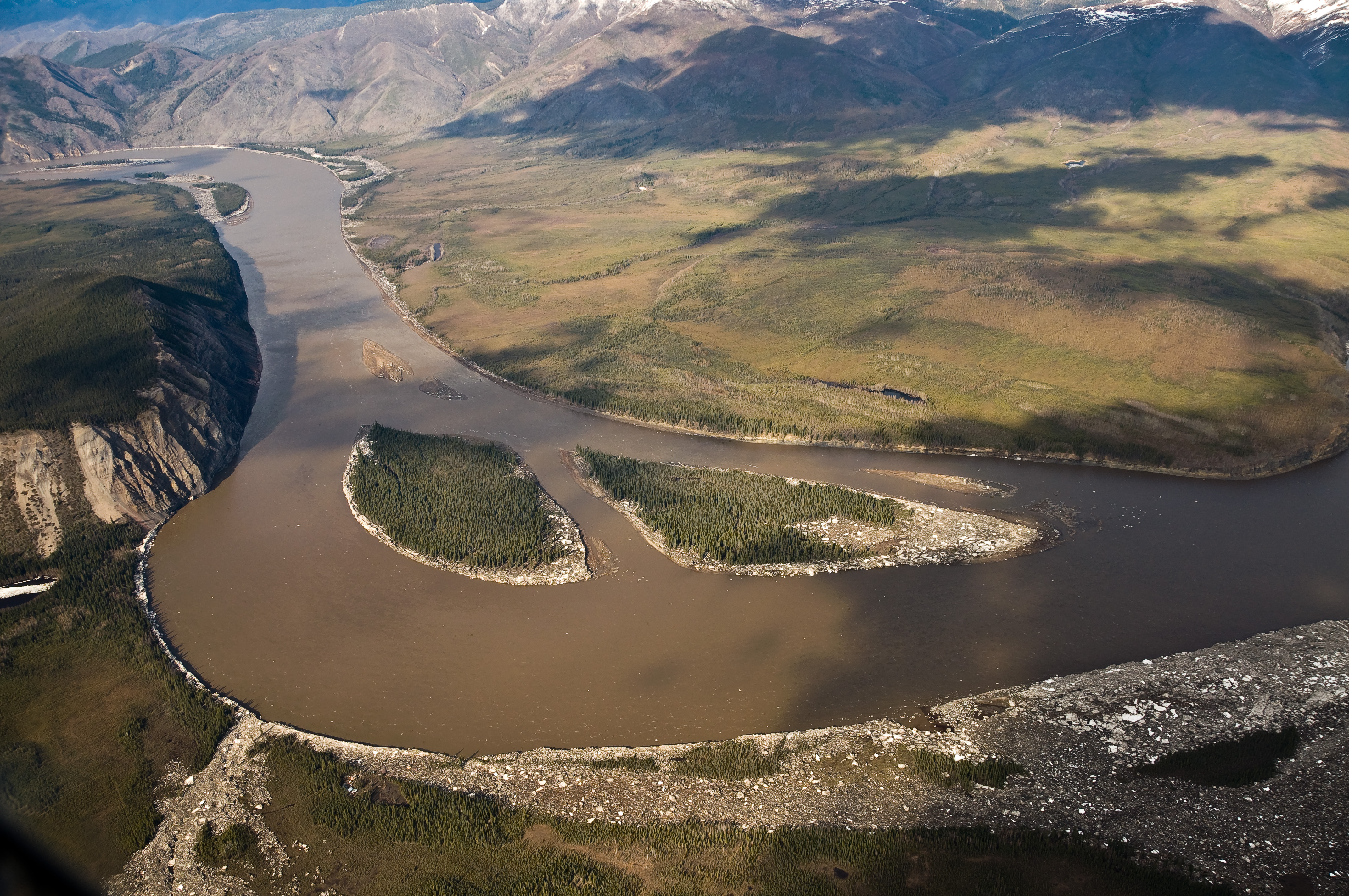
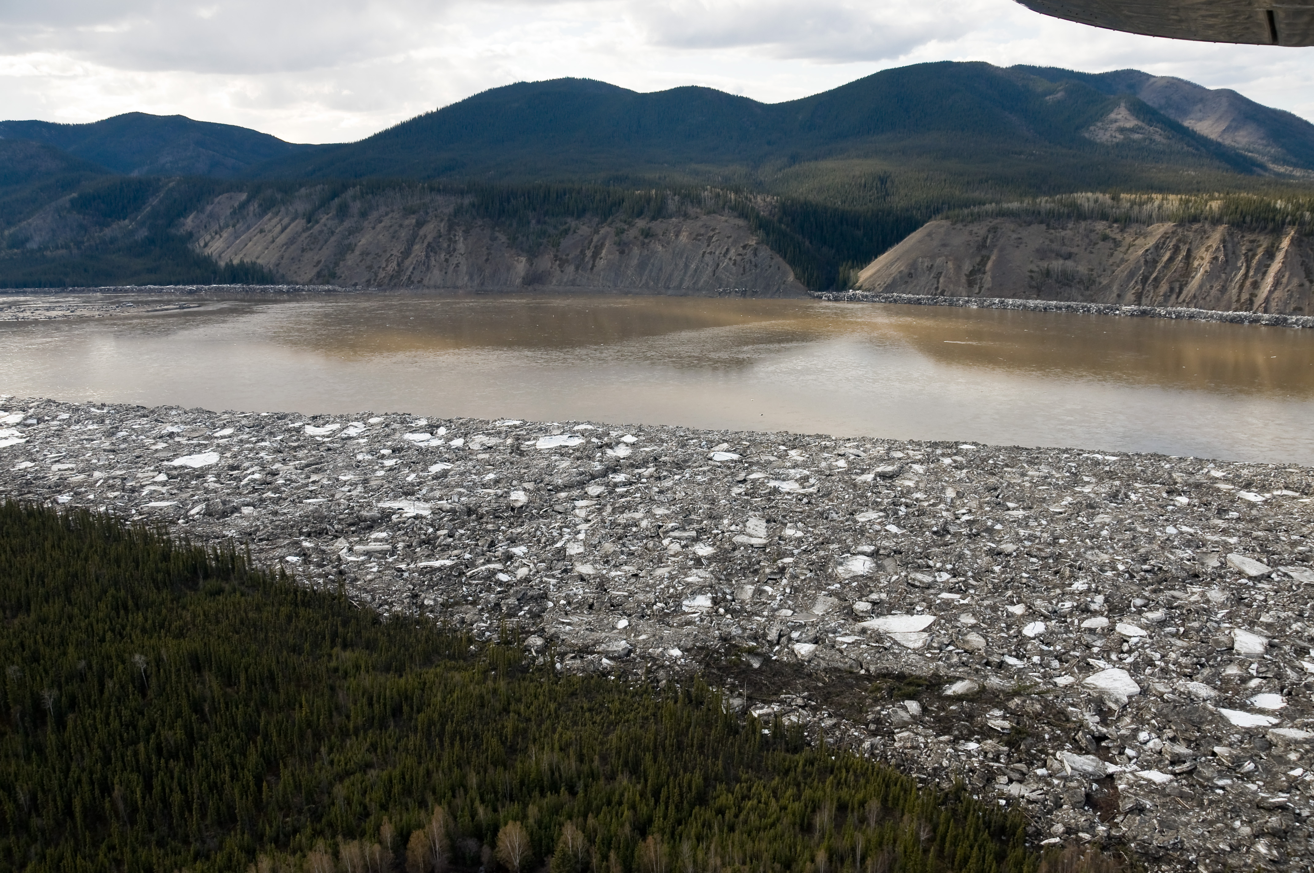
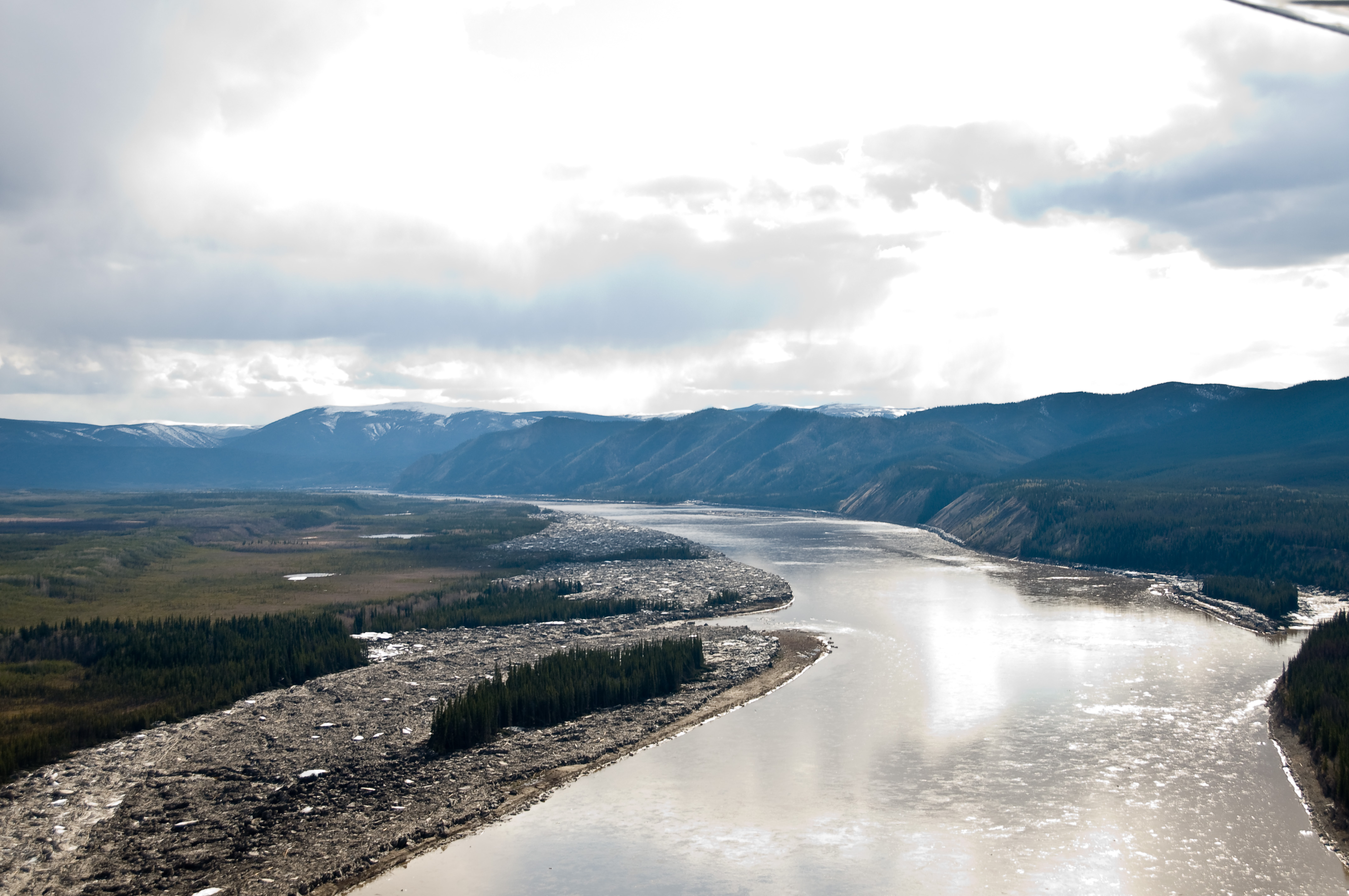
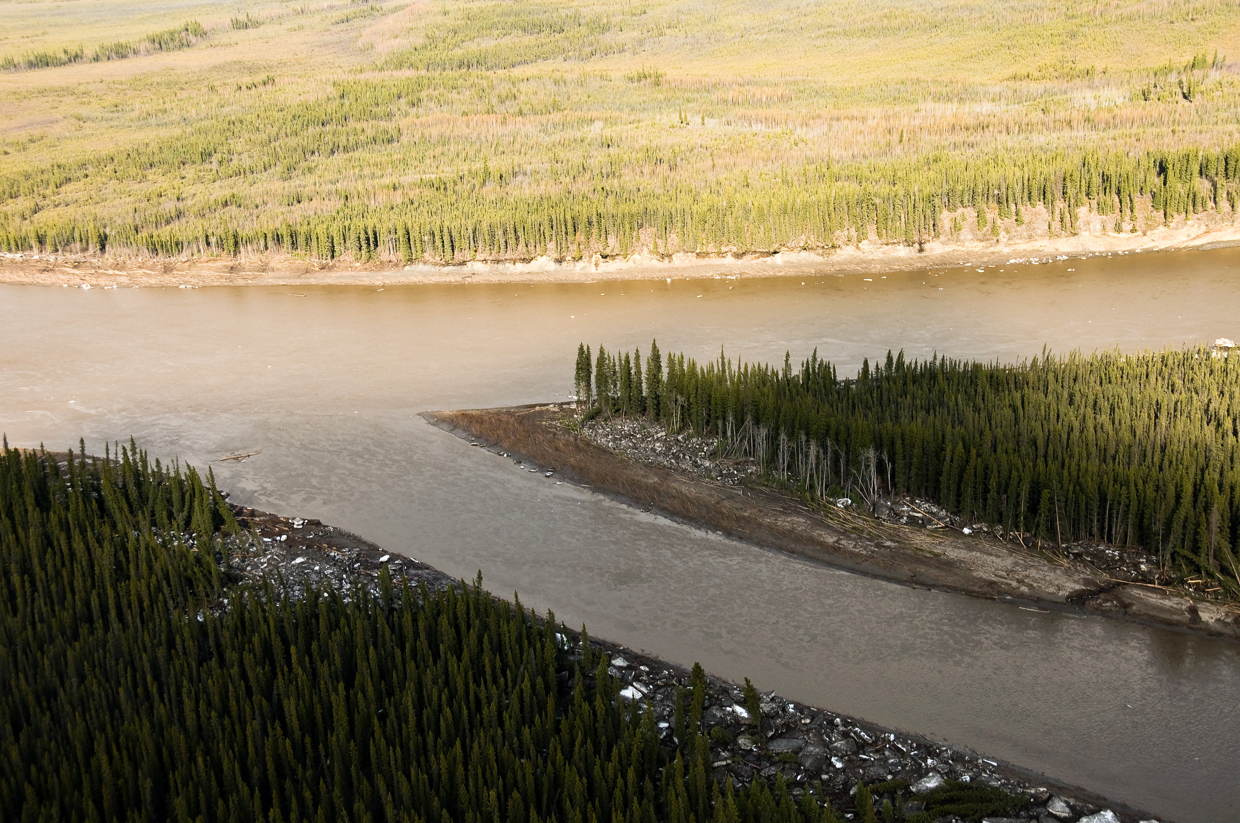
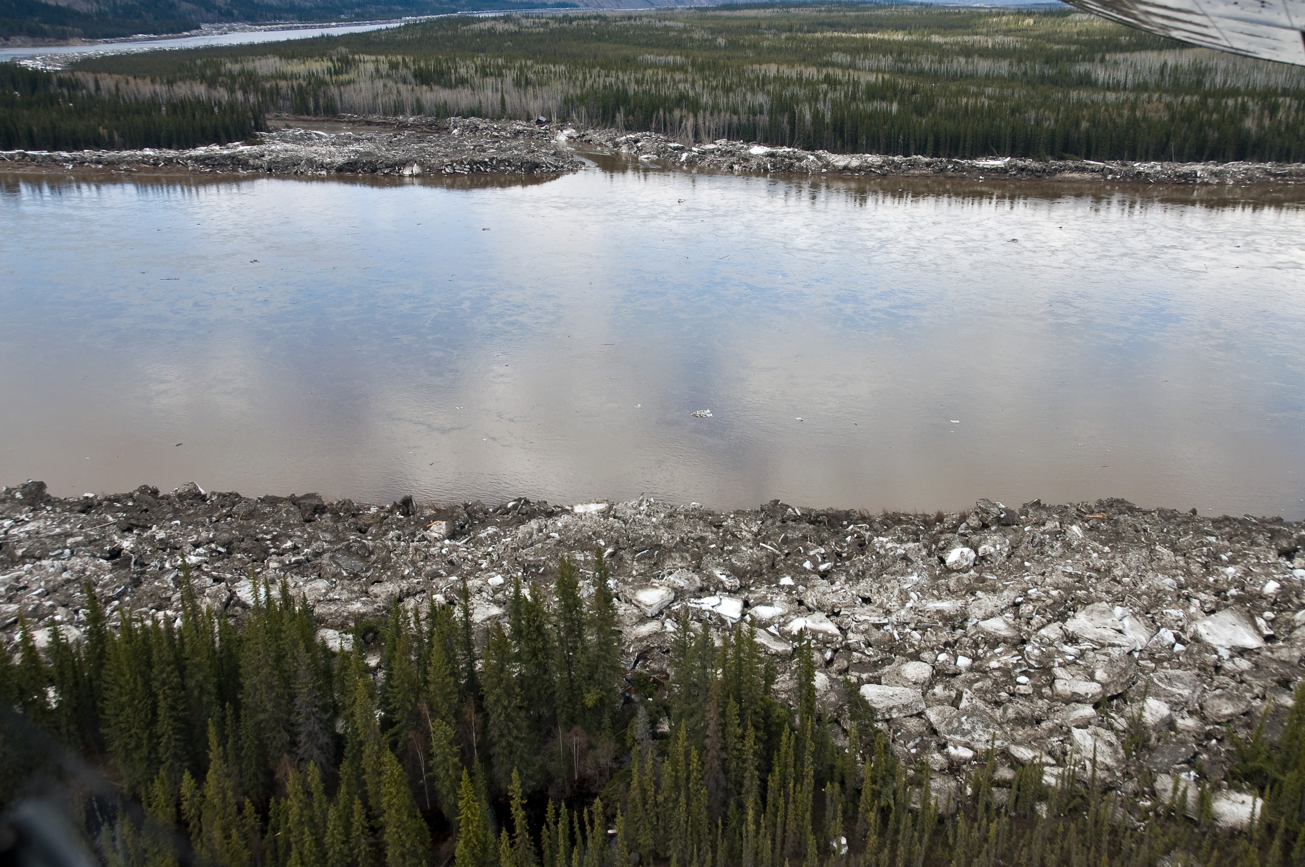
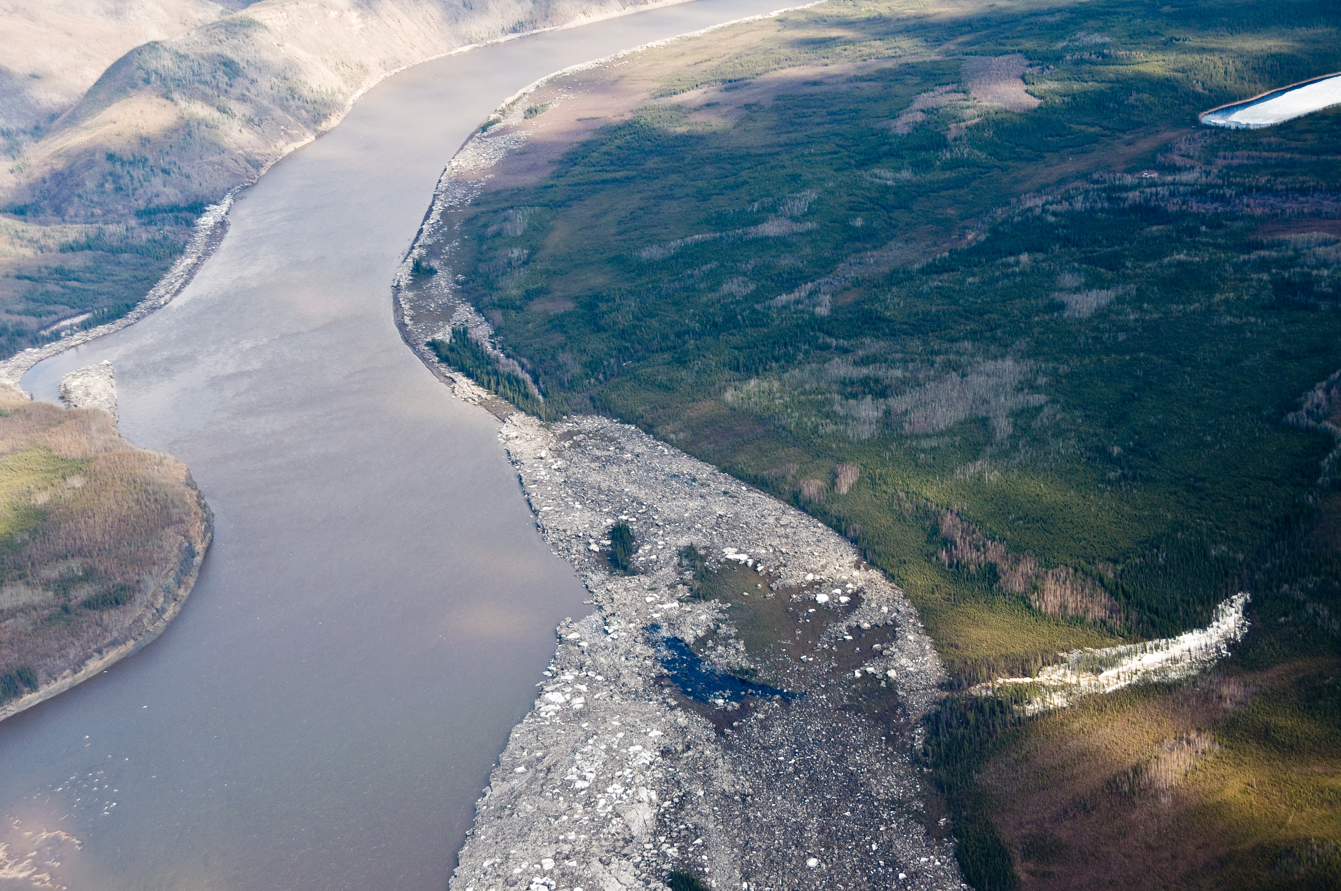
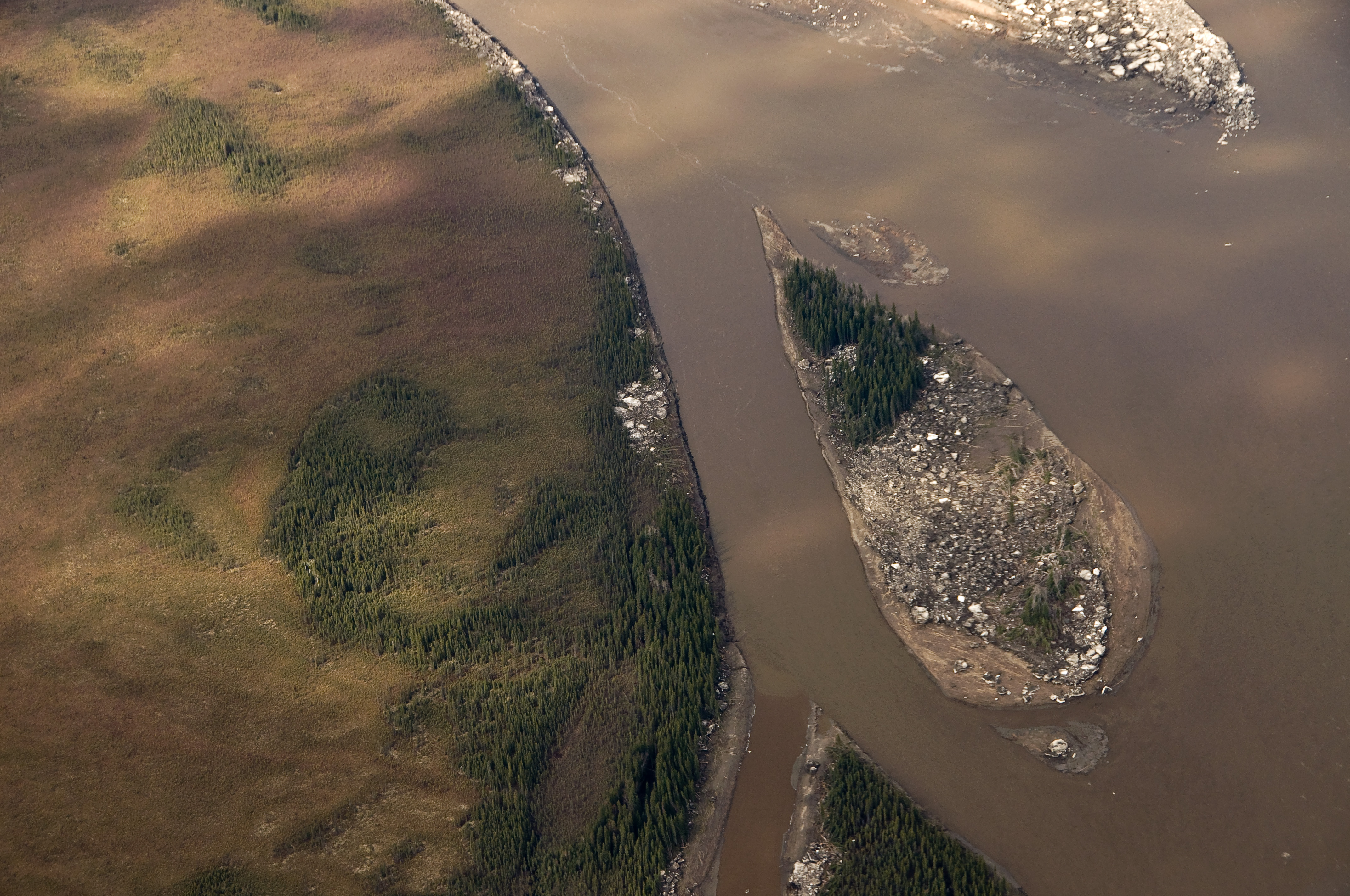
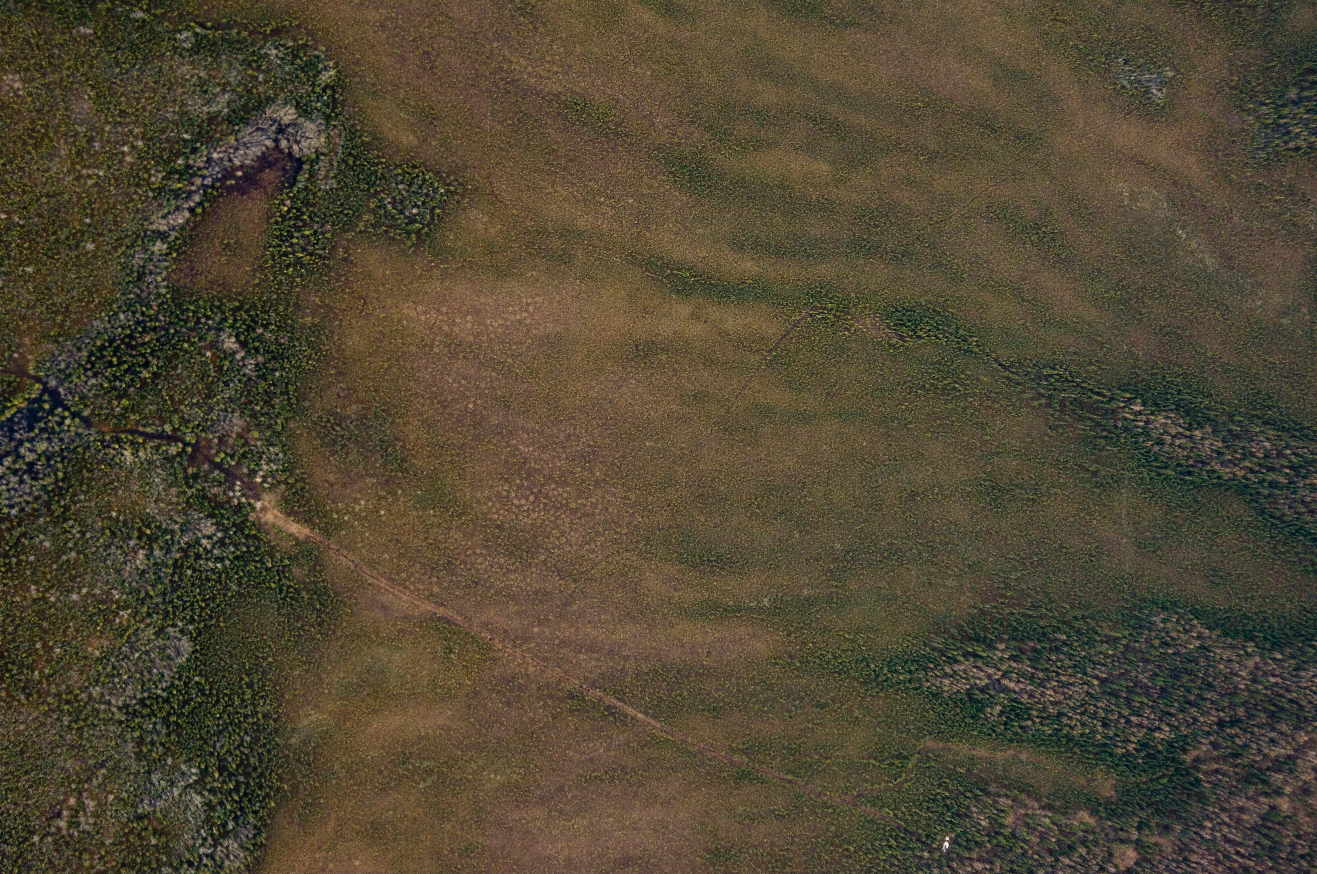
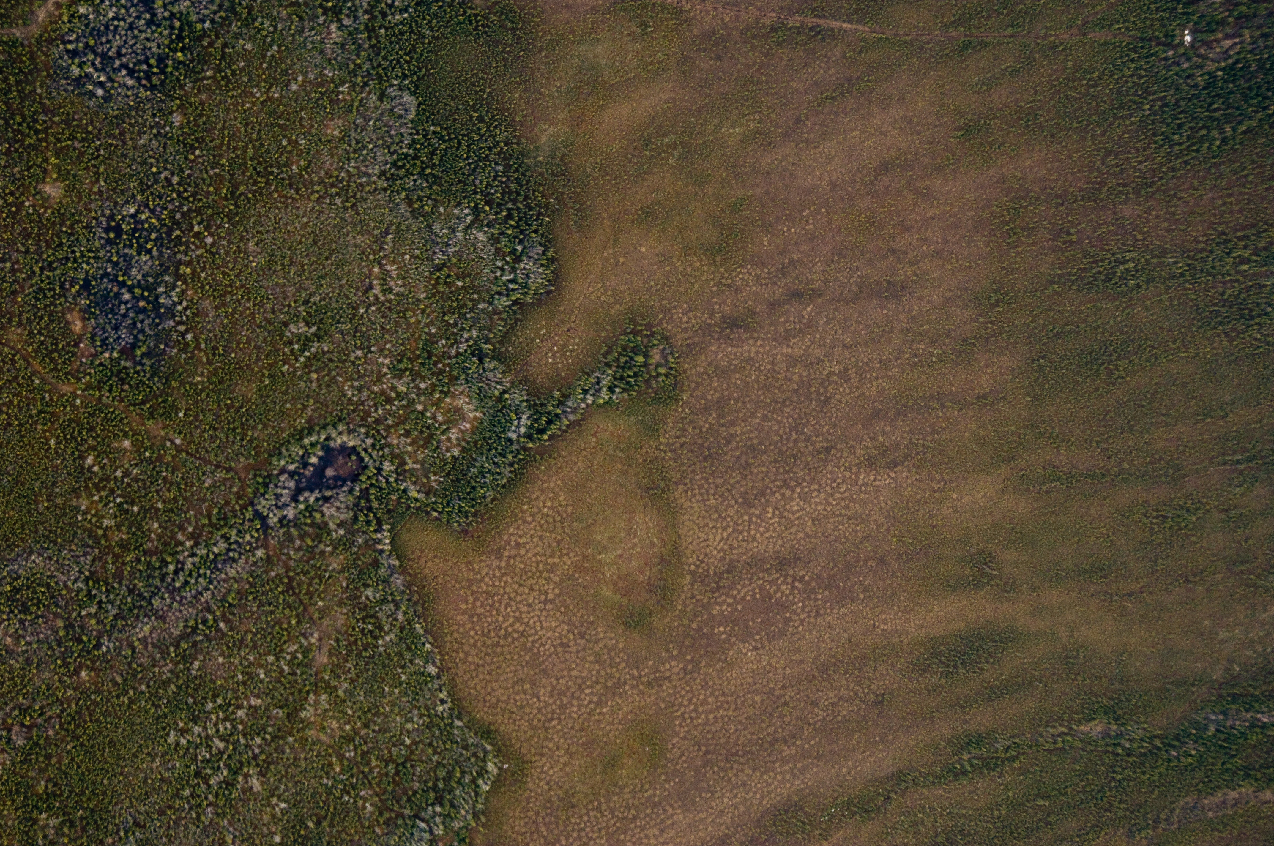
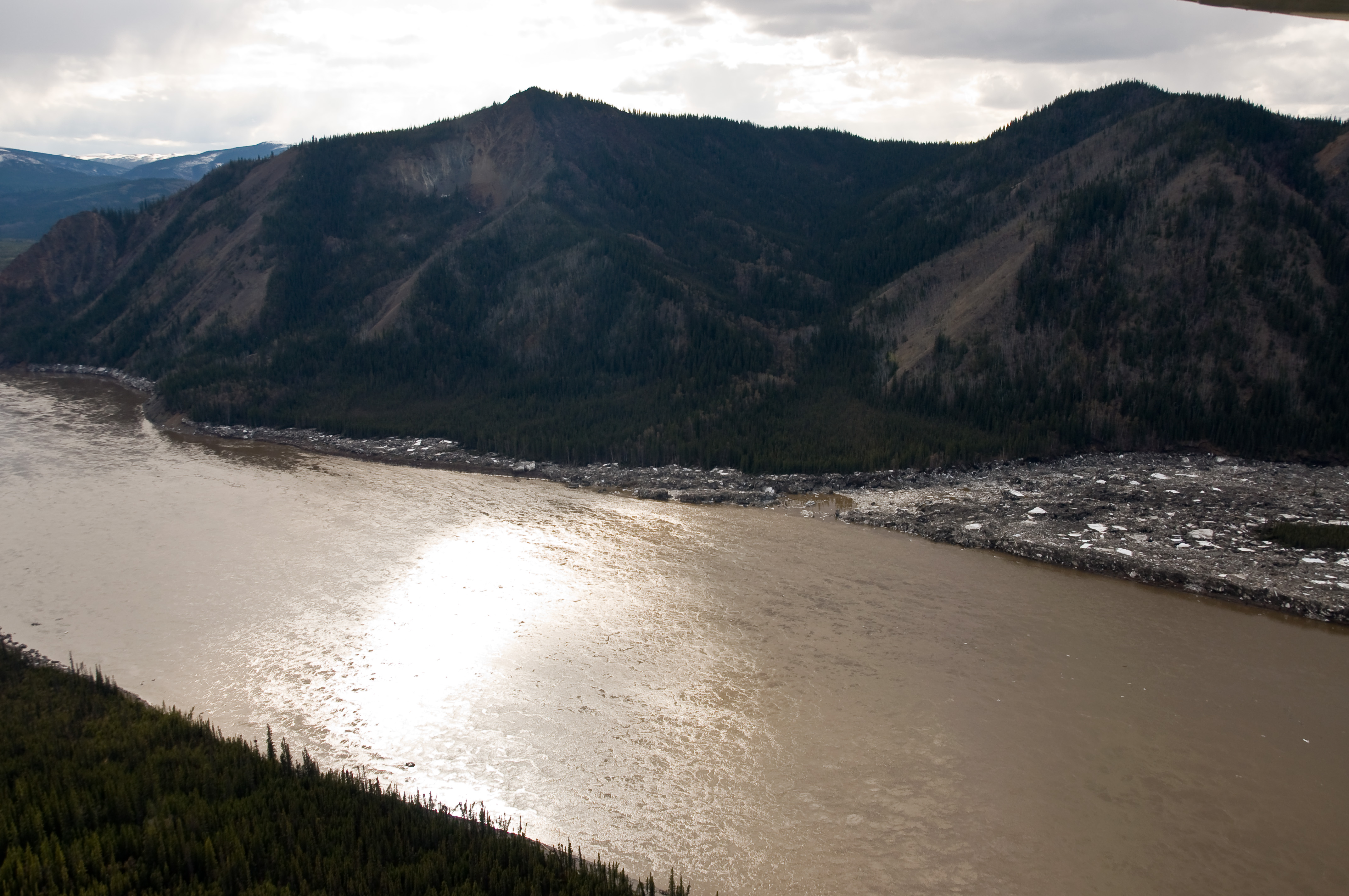
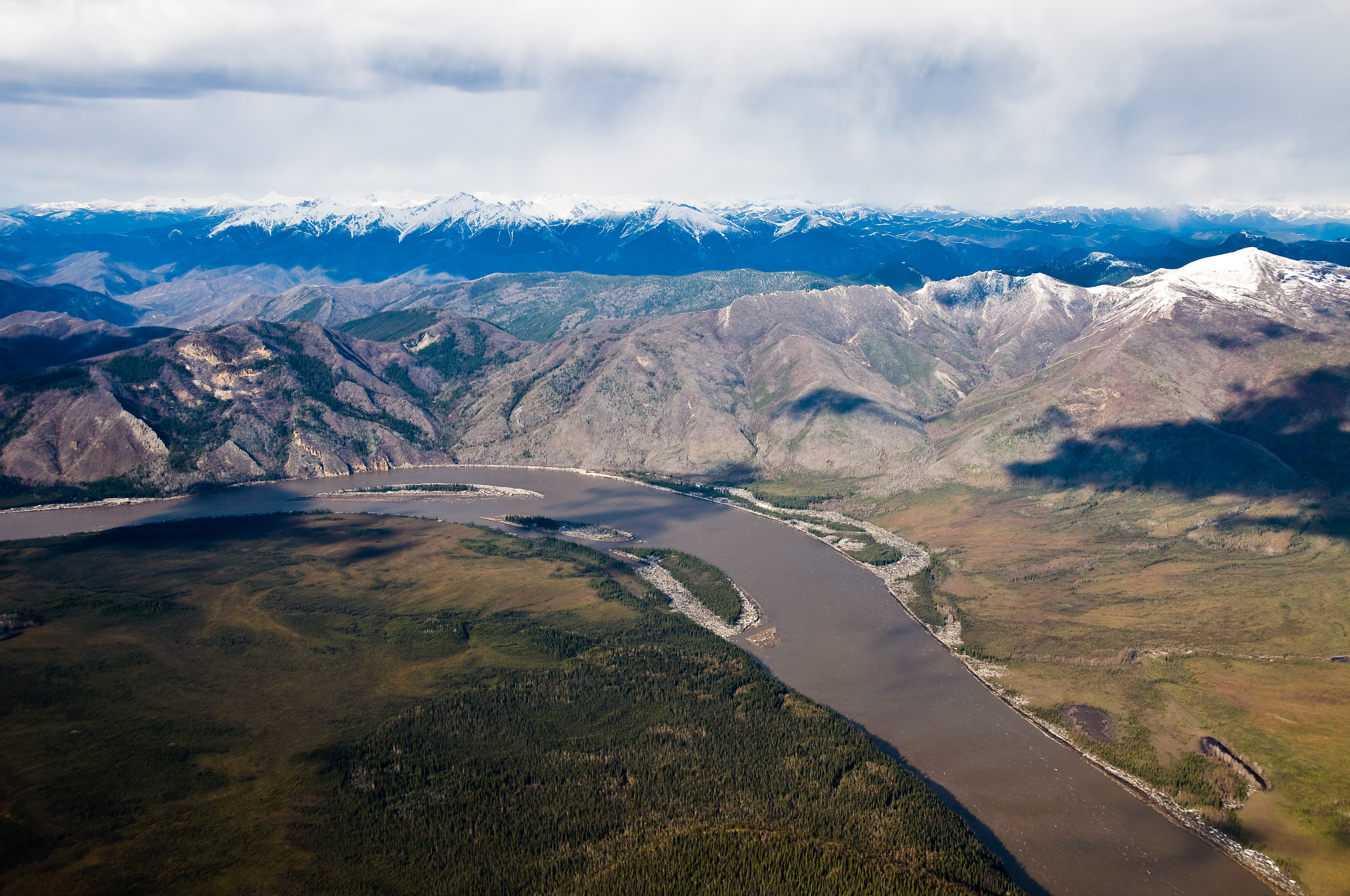
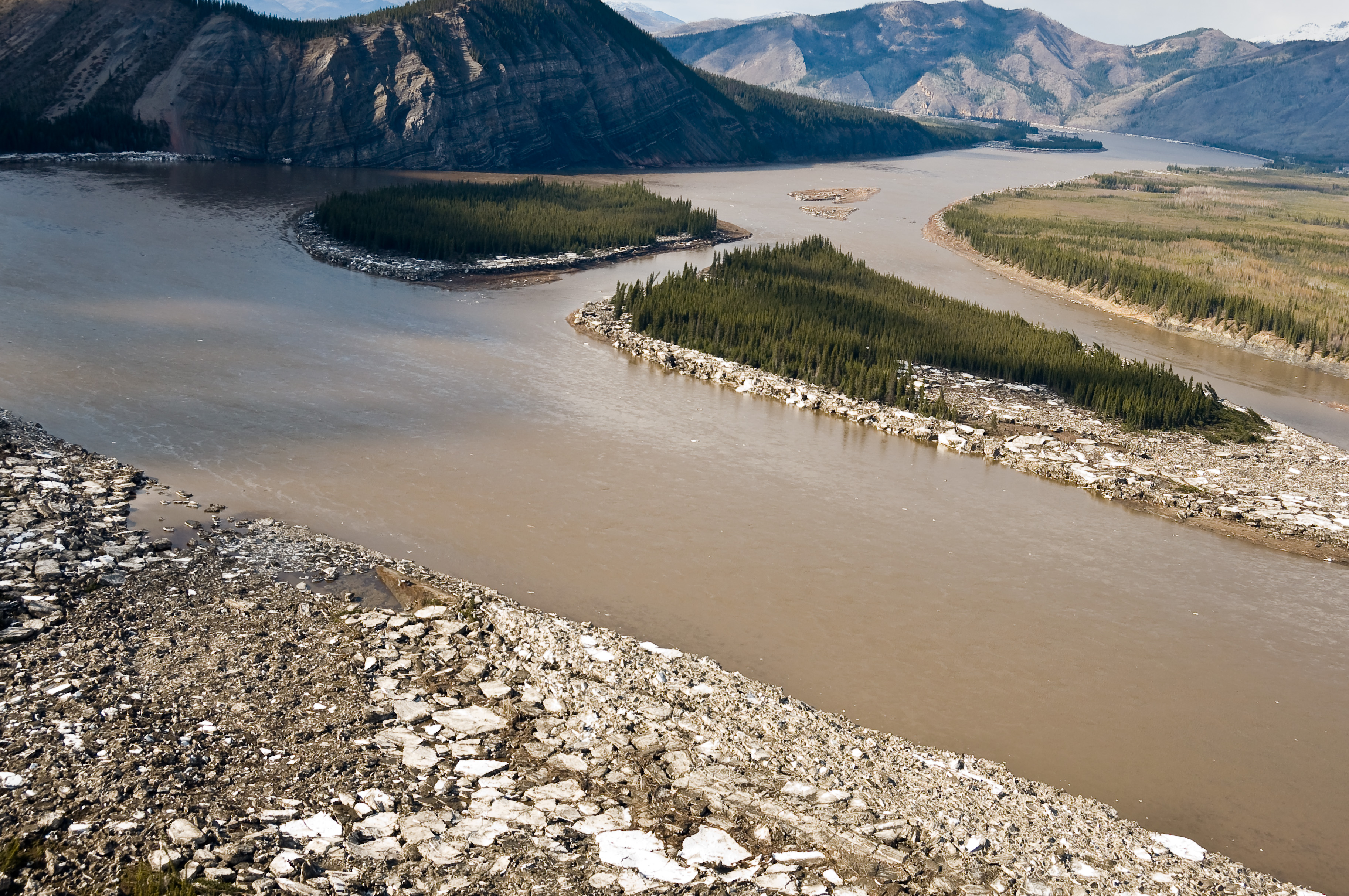
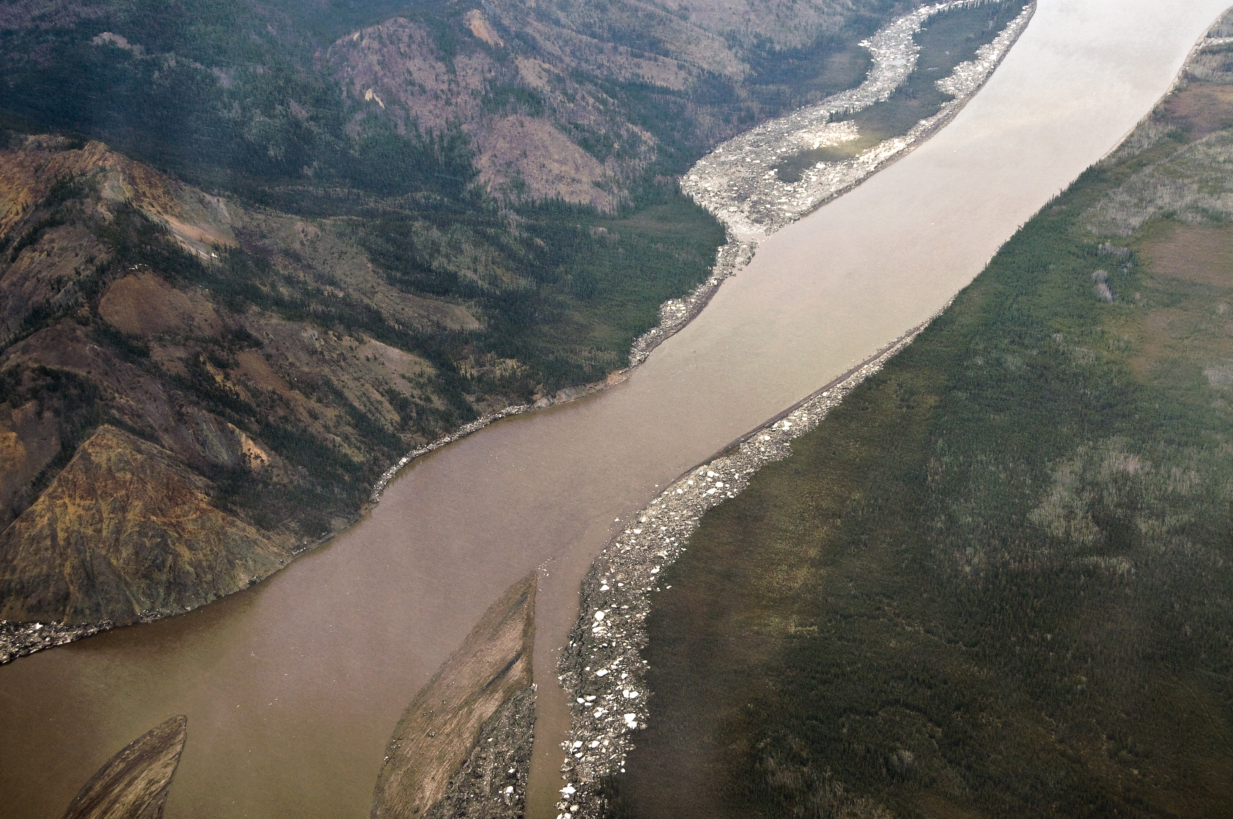
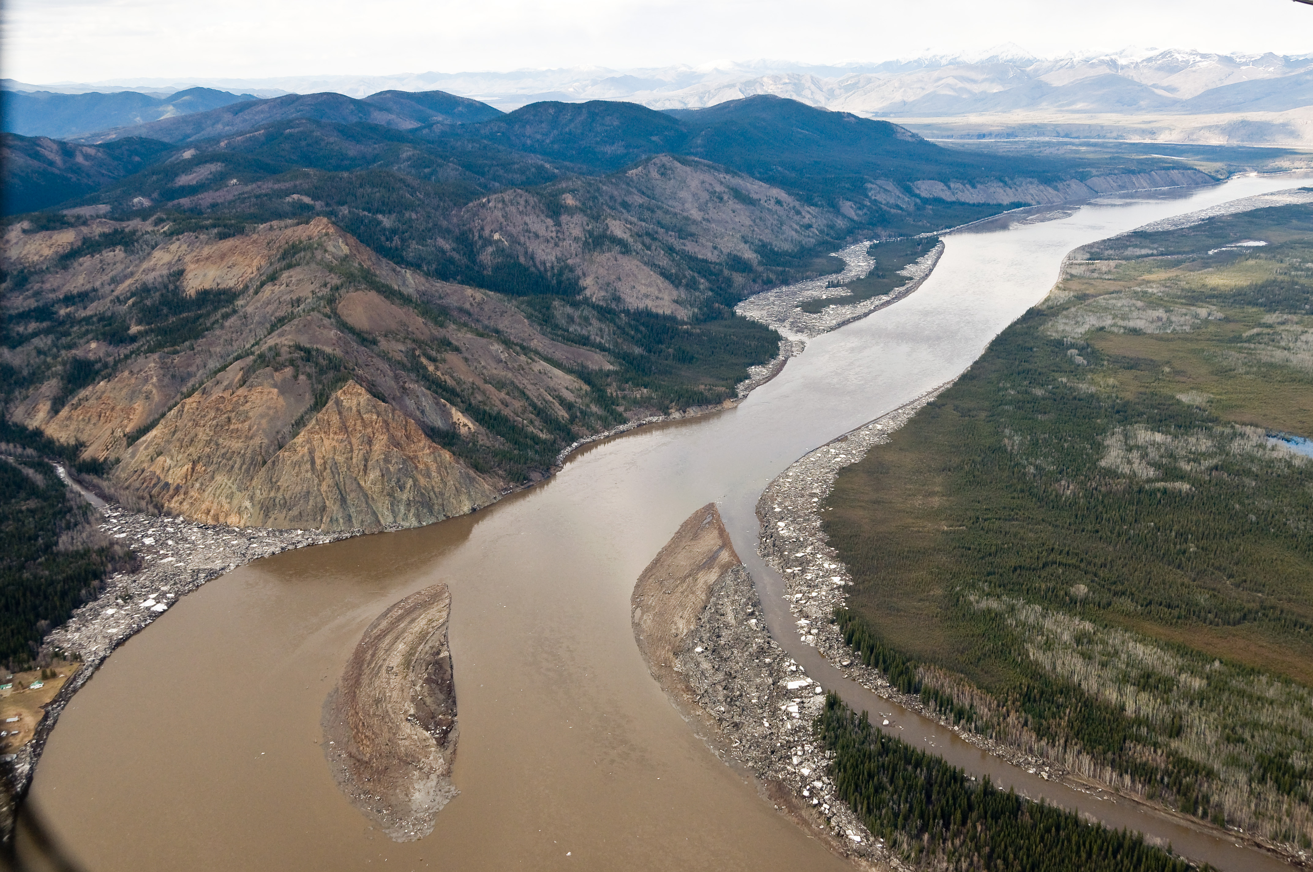
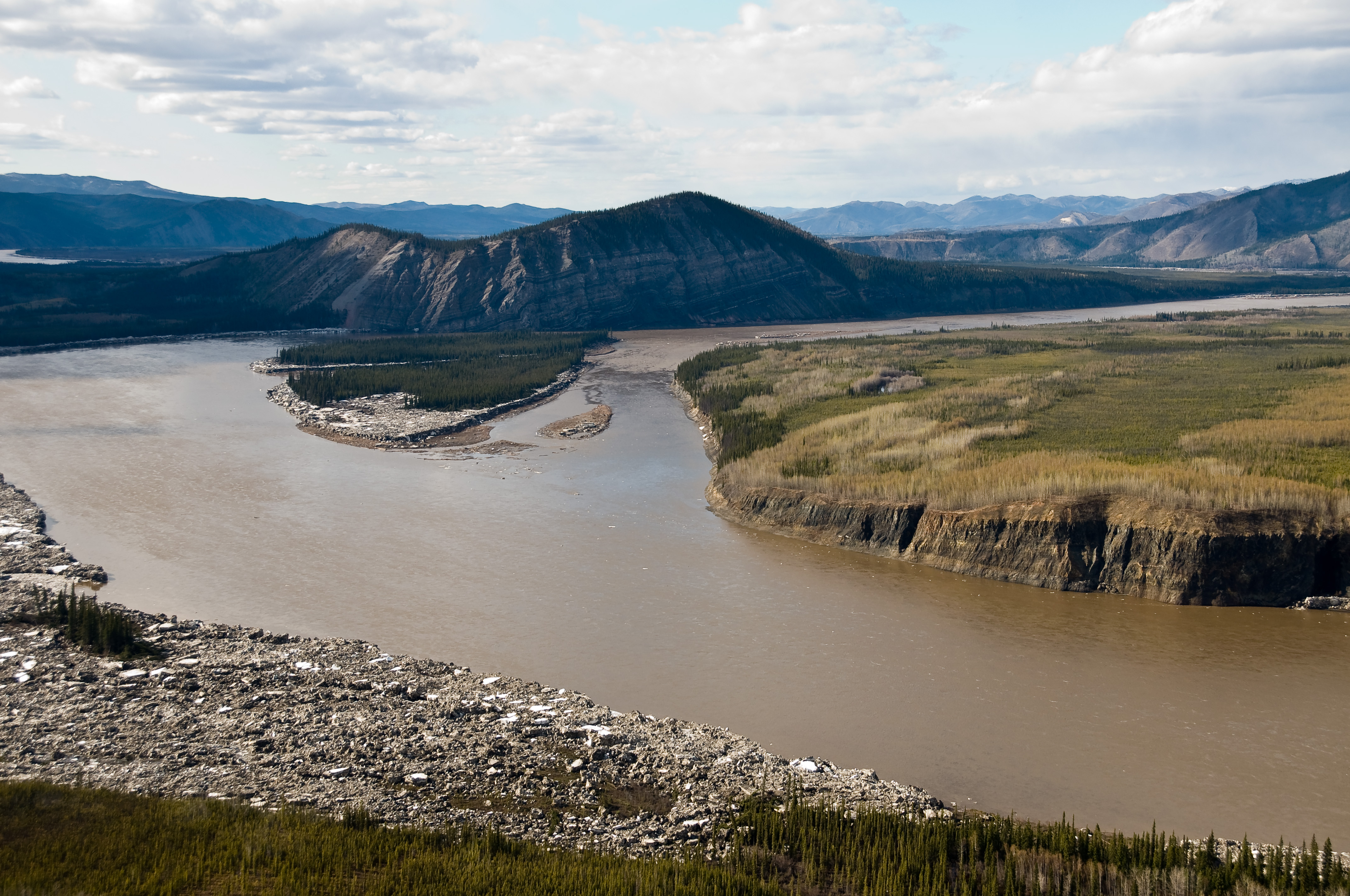
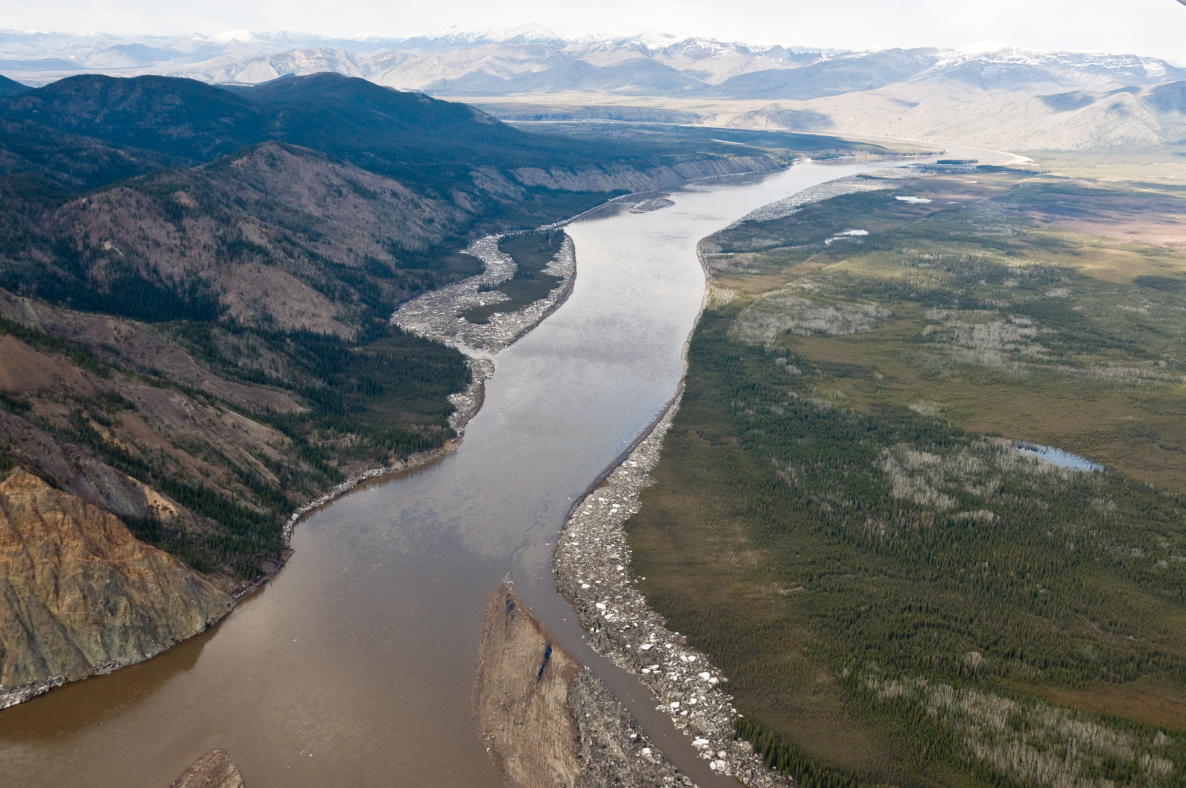
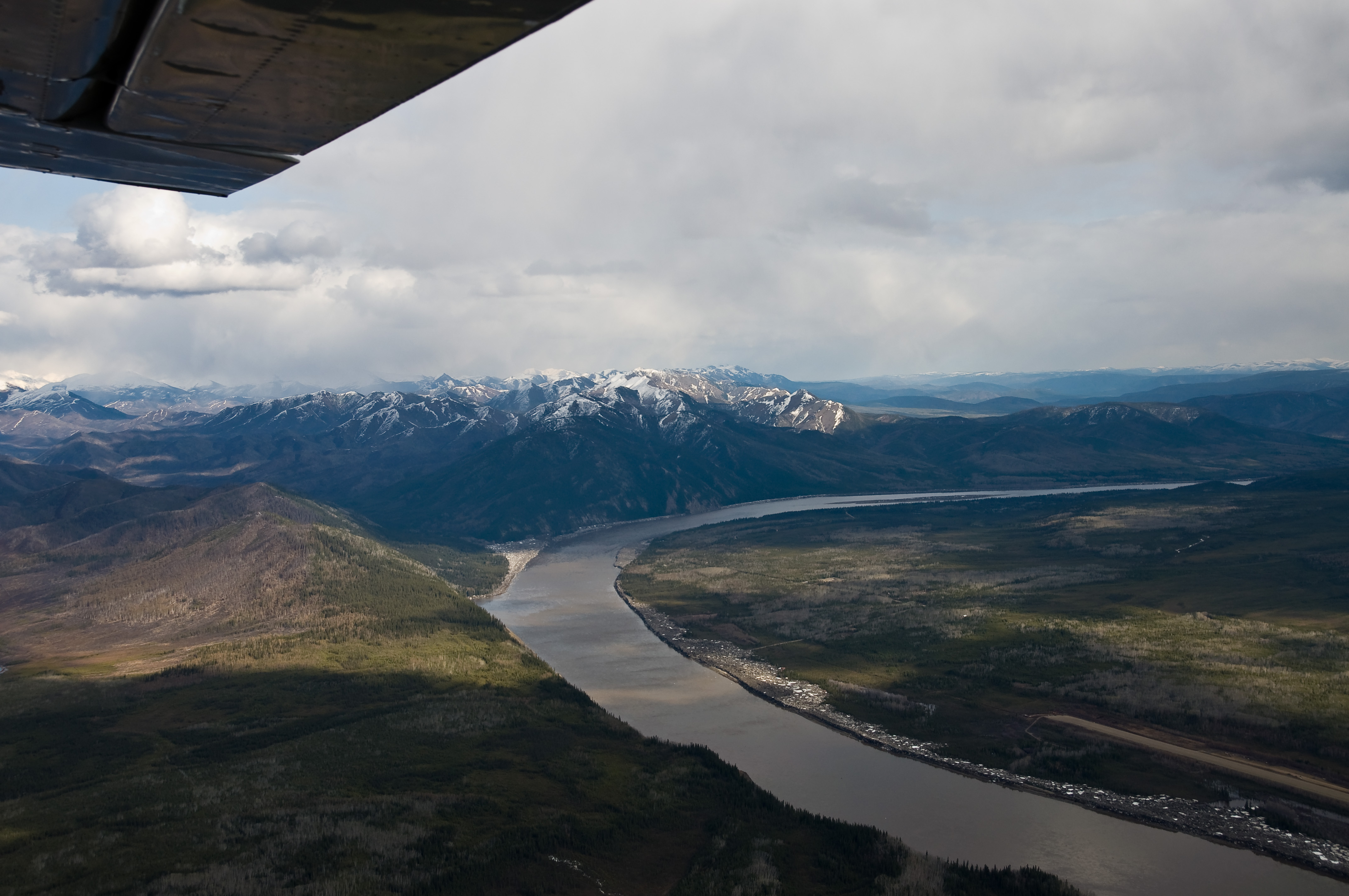
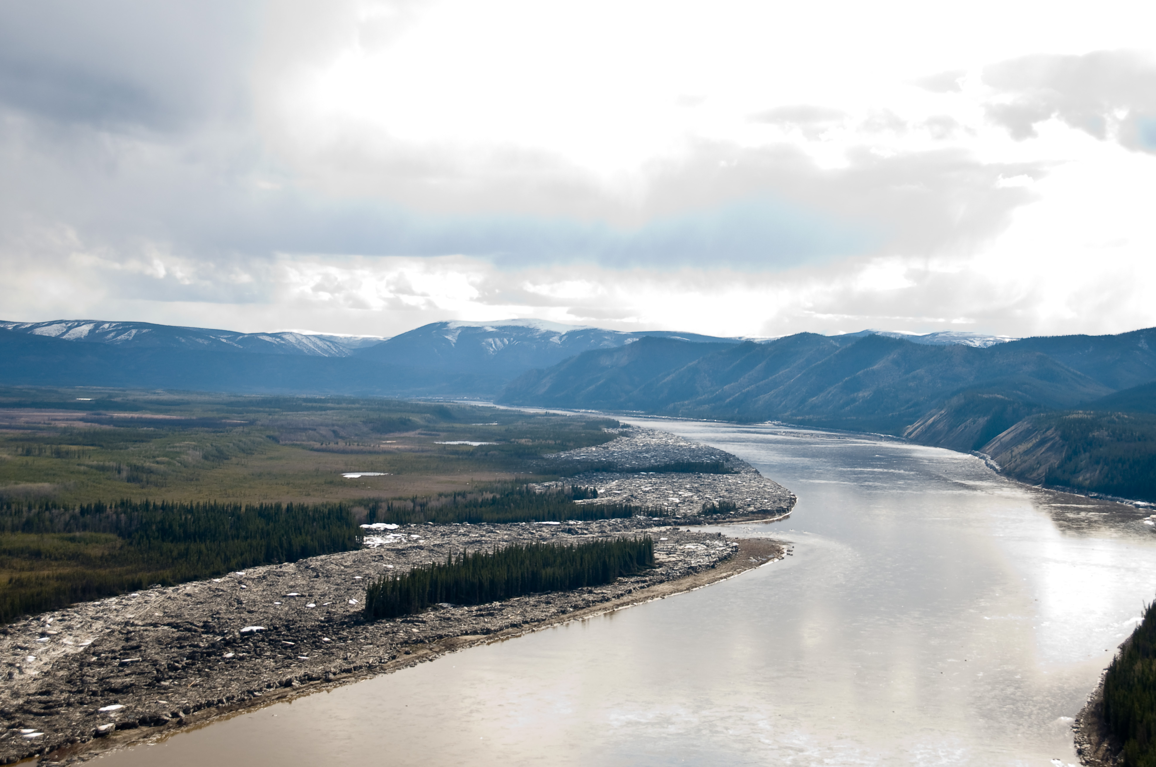
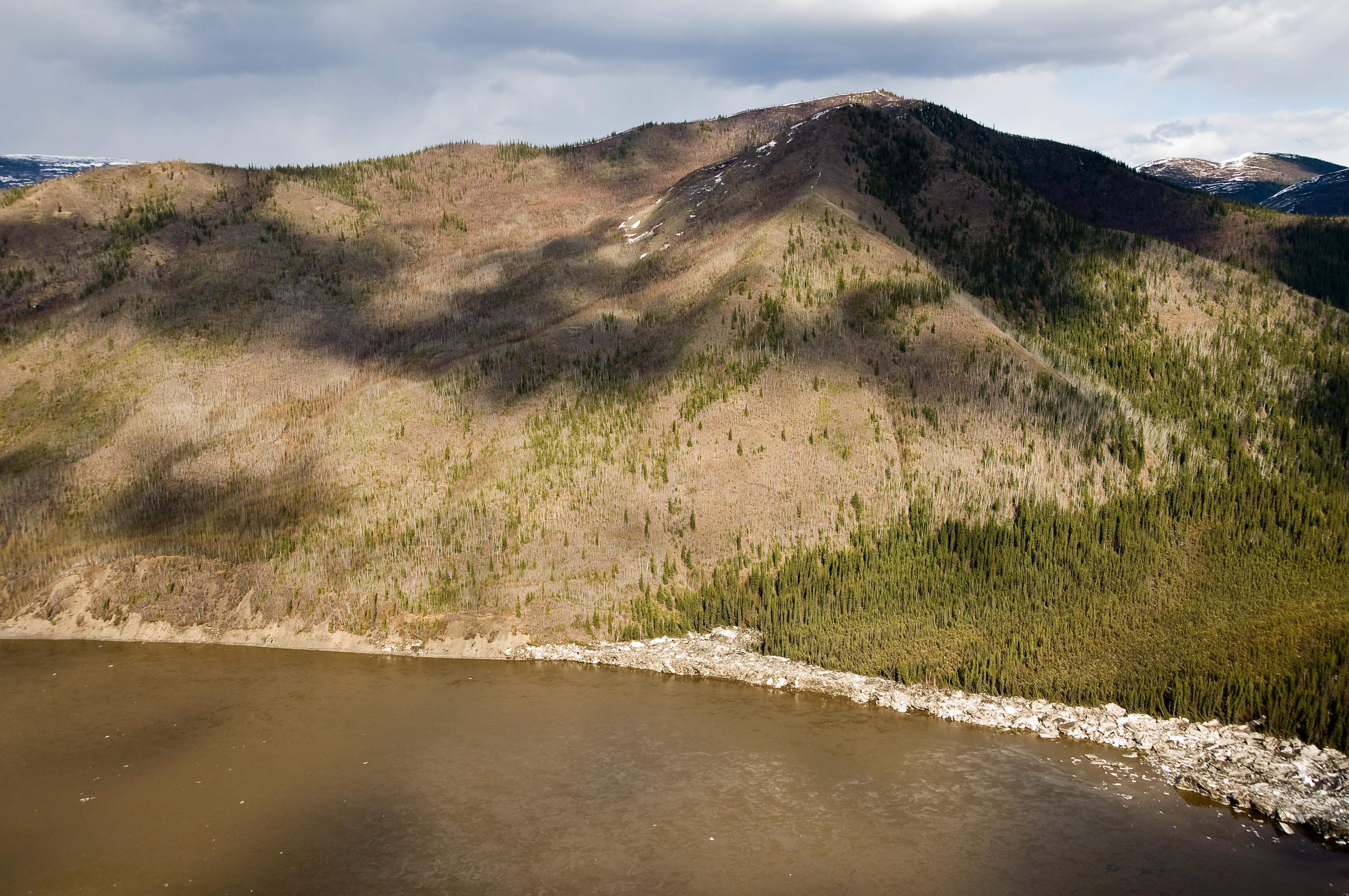
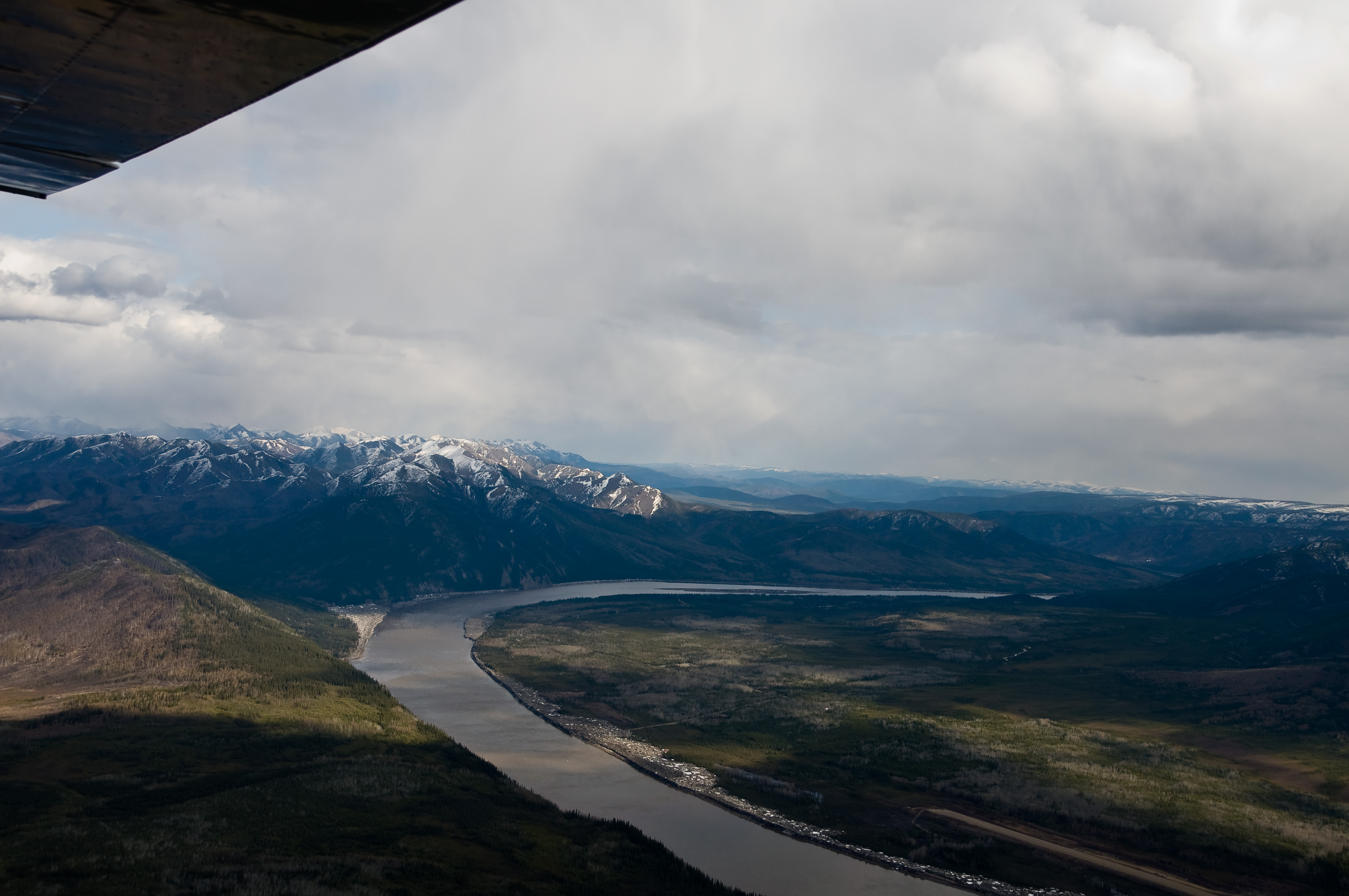
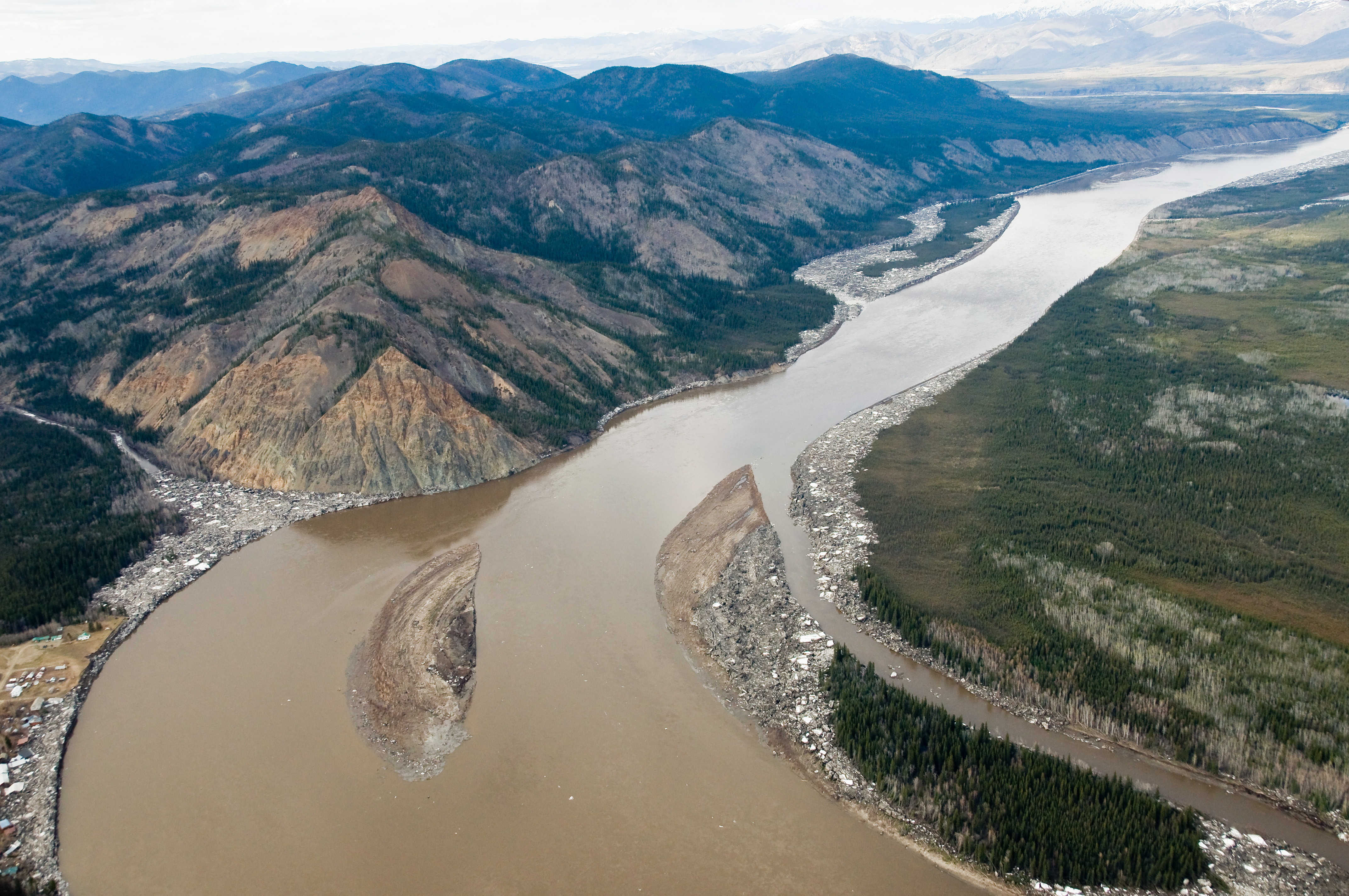
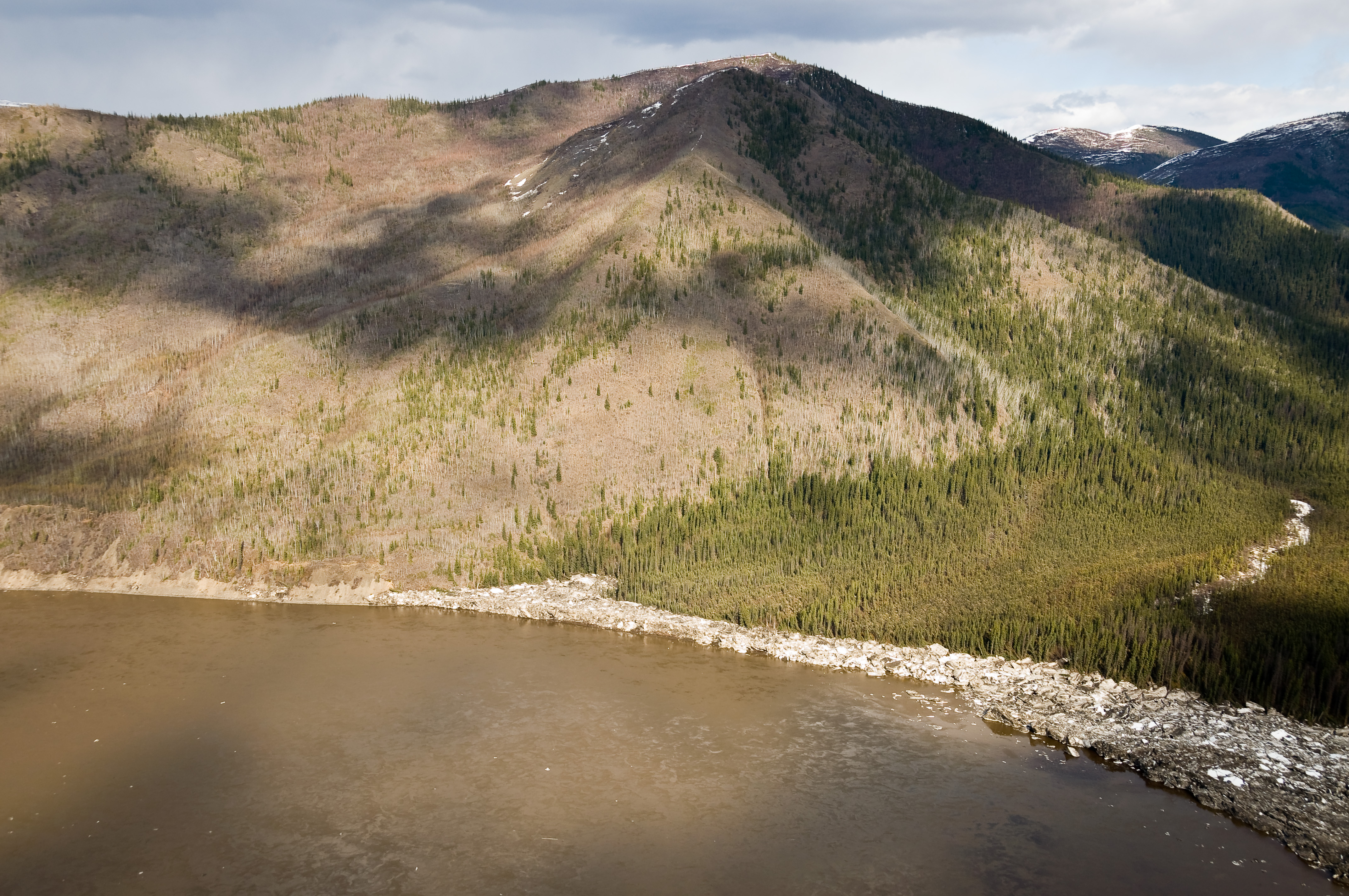
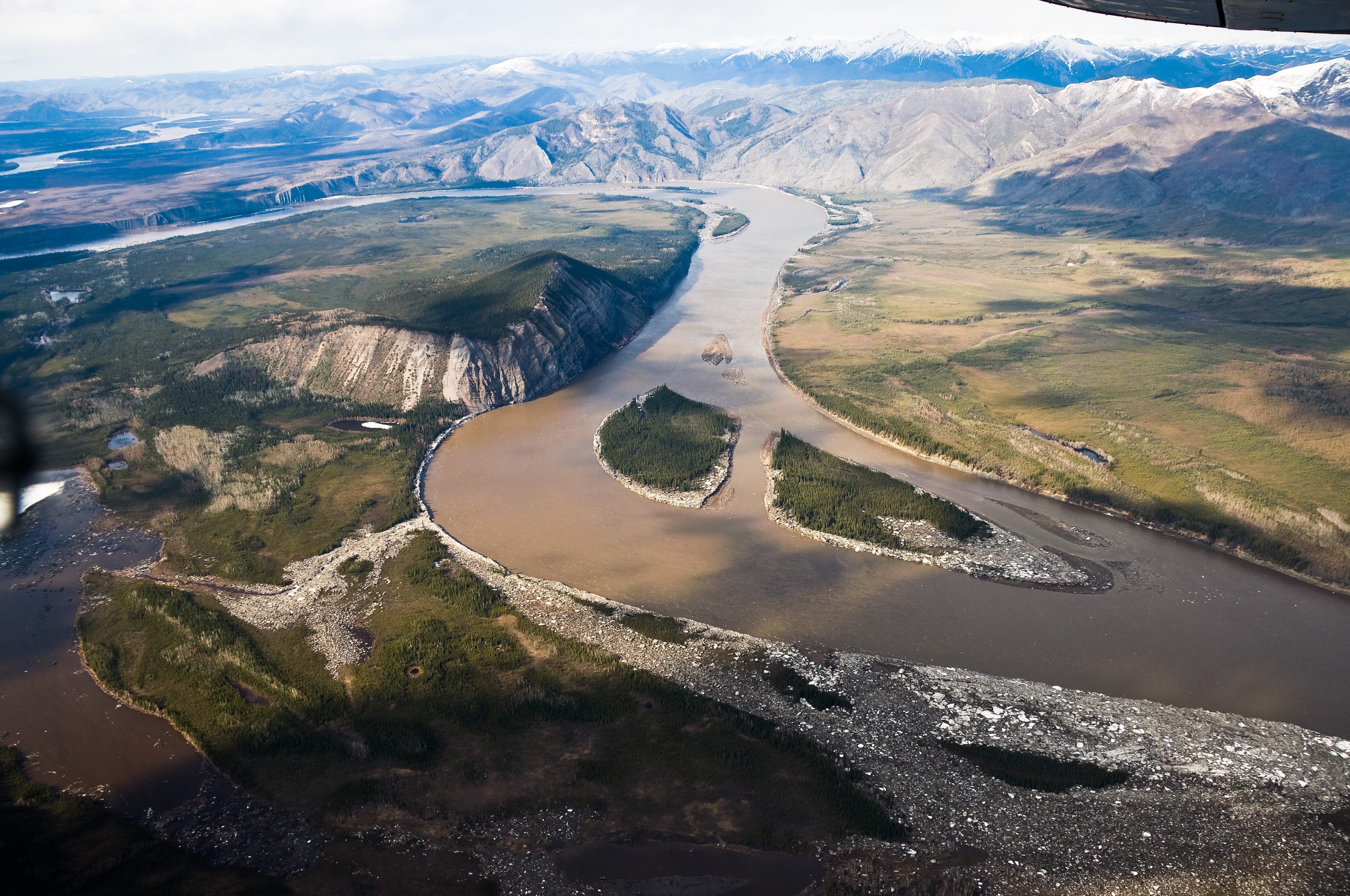
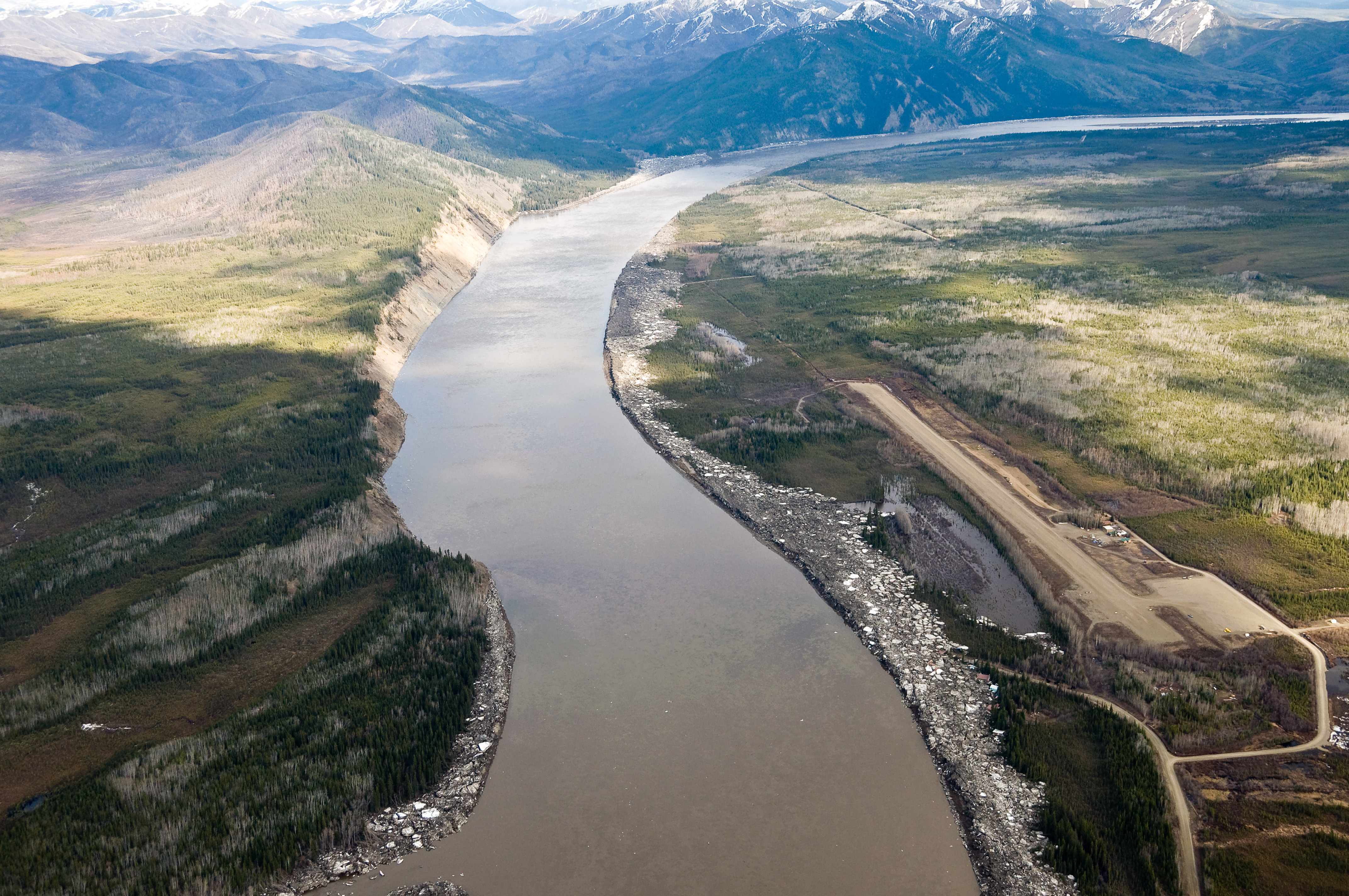
Eagle, Alaska
_D3C3753.JPG
_D3C3607.JPG
_D3C3487.JPG
_D3C3724.JPG
_D3C3596.JPG
_D3C3726.JPG
_D2X6153.jpg
_D3C3732.JPG
_D3C3656.JPG
_D3C3578.JPG
_D3C3734.JPG
_D3C3722.JPG
_D3C3577.JPG
_D3C3745.JPG
_D3C3731.JPG
_D3C3721.JPG
Topographic Map of Eagle, AK, USA
Find elevation by address:

Places in Eagle, AK, USA:
Places near Eagle, AK, USA:
Recent Searches:
- Elevation of Power Generation Enterprises | Industrial Diesel Generators, Oak Ave, Canyon Country, CA, USA
- Elevation of Chesaw Rd, Oroville, WA, USA
- Elevation of N, Mt Pleasant, UT, USA
- Elevation of 6 Rue Jules Ferry, Beausoleil, France
- Elevation of Sattva Horizon, 4JC6+G9P, Vinayak Nagar, Kattigenahalli, Bengaluru, Karnataka, India
- Elevation of Great Brook Sports, Gold Star Hwy, Groton, CT, USA
- Elevation of 10 Mountain Laurels Dr, Nashua, NH, USA
- Elevation of 16 Gilboa Ln, Nashua, NH, USA
- Elevation of Laurel Rd, Townsend, TN, USA
- Elevation of 3 Nestling Wood Dr, Long Valley, NJ, USA