Elevation of E San Benito Dr, Odessa, TX, USA
Location: United States > Texas > Ector County > Odessa >
Longitude: -102.30340
Latitude: 31.826496
Elevation: 872m / 2861feet
Barometric Pressure: 91KPa
Elevation Map:
Satellite Map:
Related Photos:

"Diamond Lil"

Harrier - Dorsal View

Long view of the rather modest-sized MIdland terminal
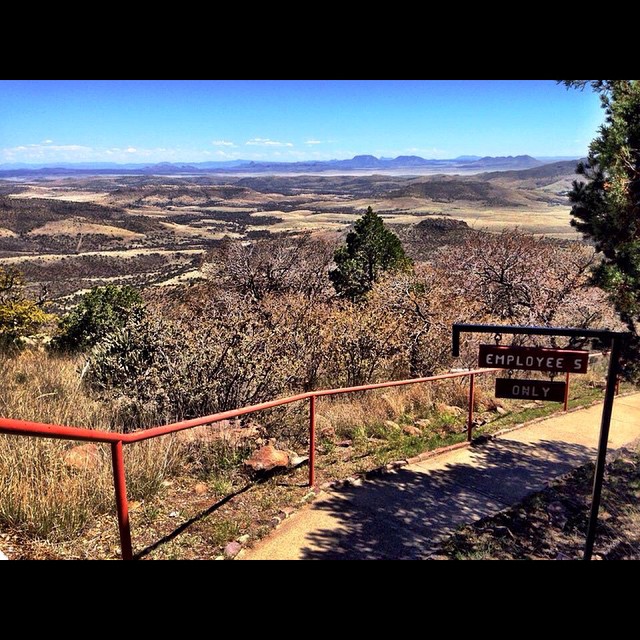
View from the top of Mt. Locke. #igtexas #FtDavis

Startling view looking up at the security cameras. Almost amphibious and somewhat alien.
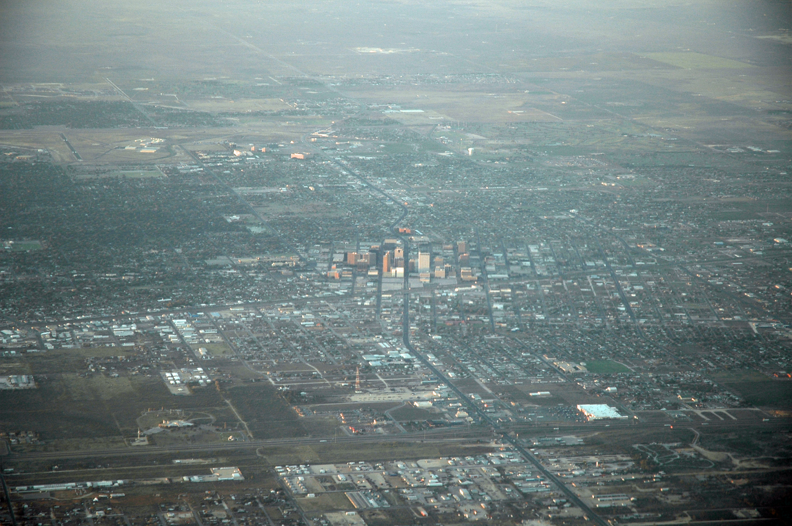
View of Midland
Midland, Texas
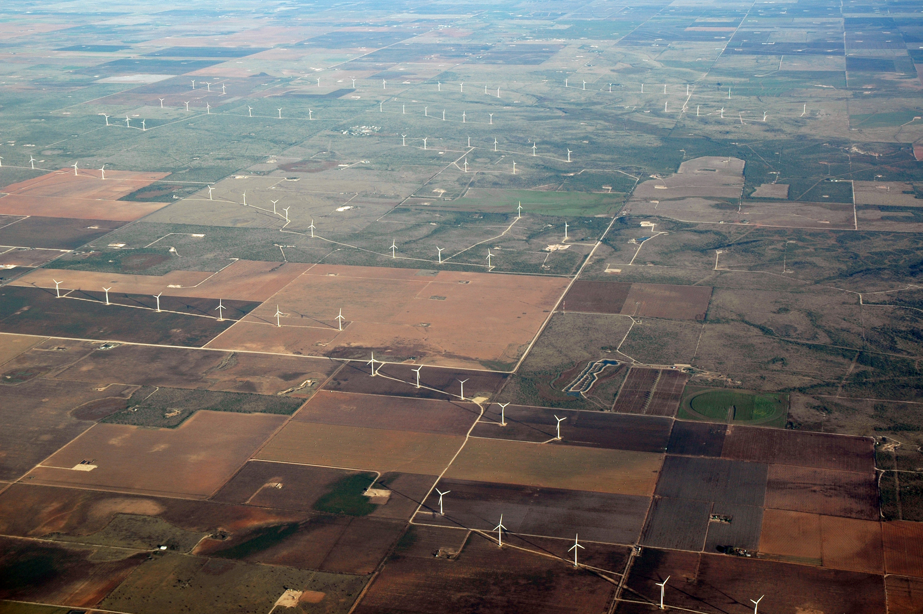
Wind Farms
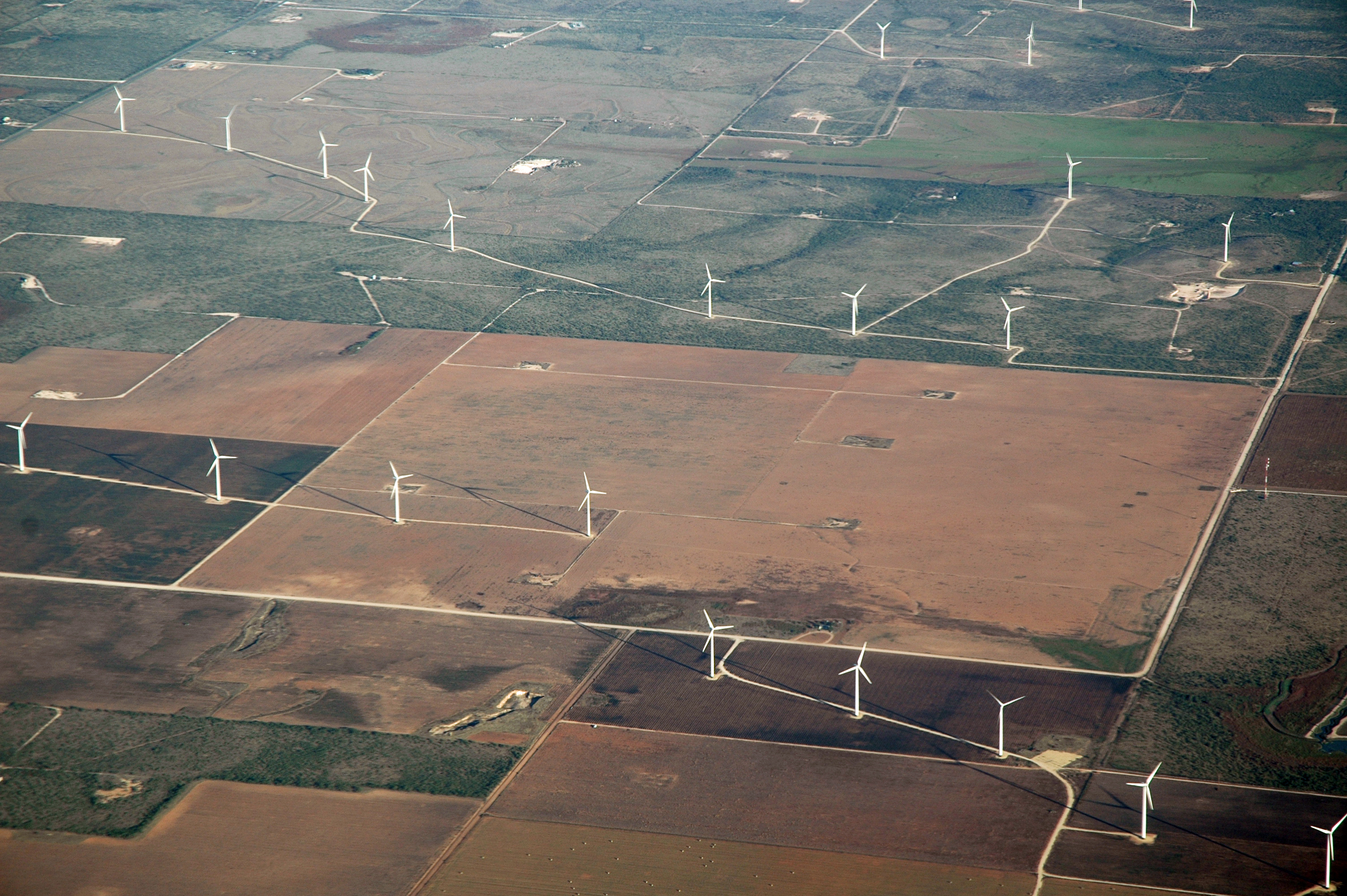
Wind Farms

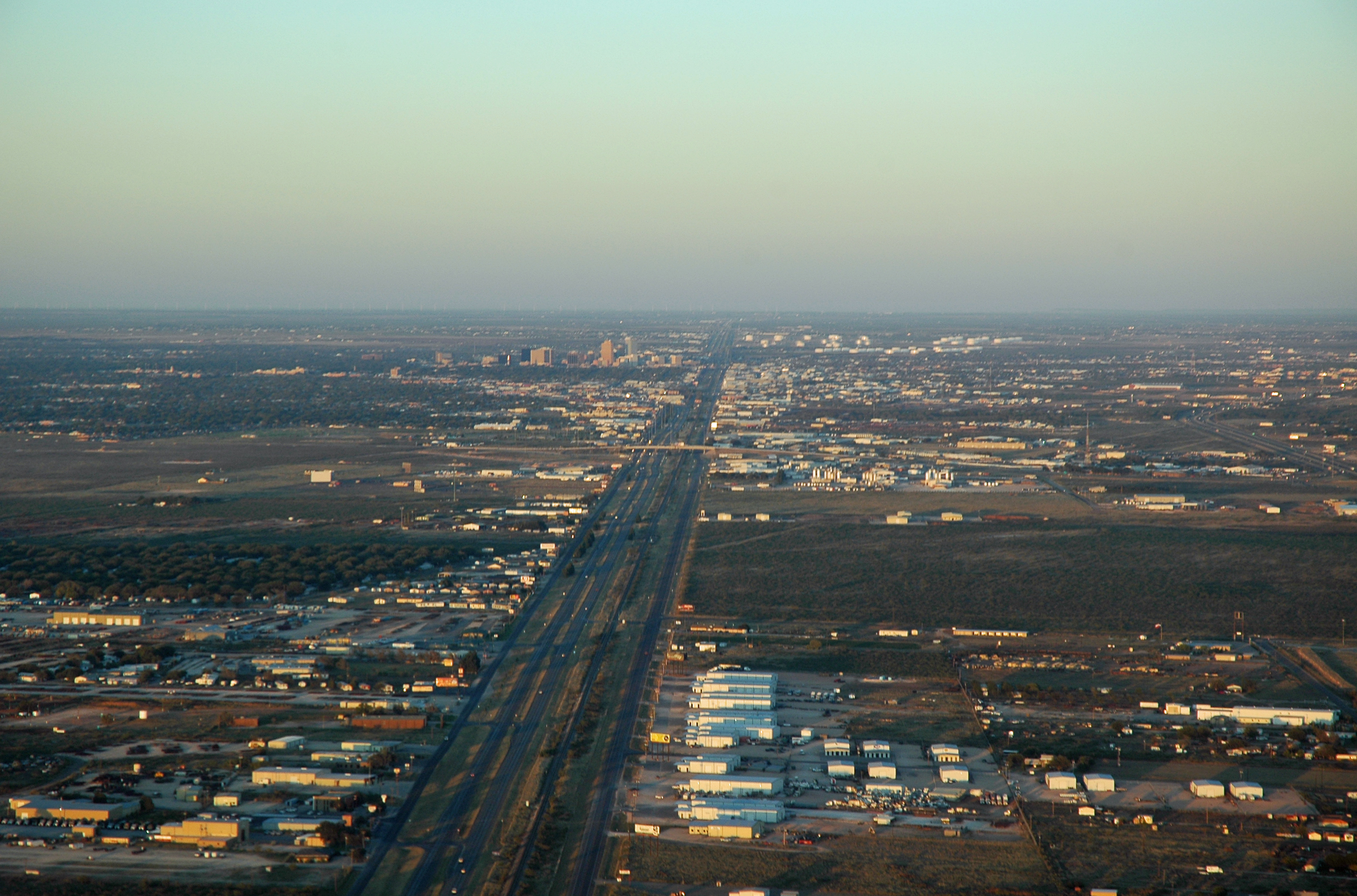
Departing Midland

View from the top

Gonna try the old "needle in the neck trick" to see if I can stop the pain in my left arm. Seeing it from the patient's point-of-view.

It's the first day of the rest of our life. #sunrise #airport

Buffalo Wallow #odessa #texas

Spring blooms along the highways of West Texas.
Here is the final image. #photosbyrichard #NightSky #night #stars #star #west #texas #westtexas #sunset @weatherchannel @ilovetexasphoto @instagramtexas

Switching. Through the trees.

#dandelions at #sunset in @cityofmidland #midland #Texas #westtexas @sunrise_and_sunsets
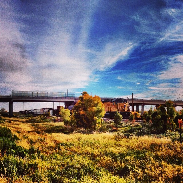
Along the tracks. Odessa TX
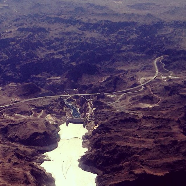
Lake Mead in the foreground. Hoover dam and the highway bypass bridge in the distance. #iphone #southwest #airplaneshot

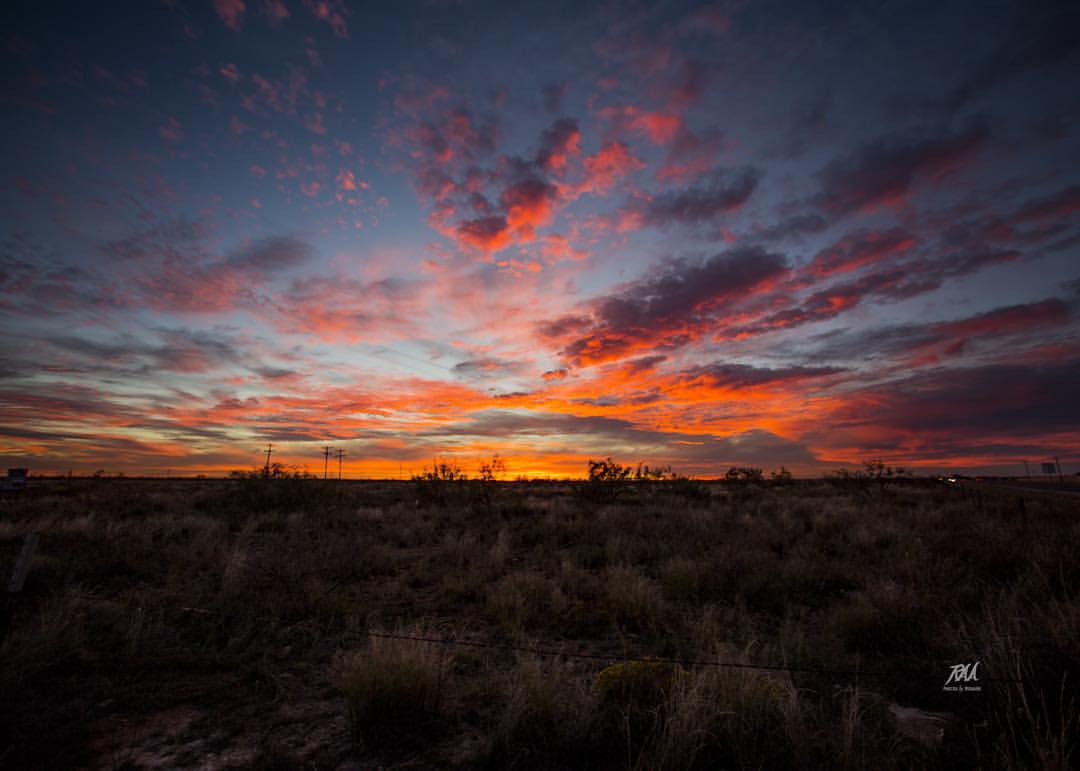
Beautiful West Texas sunset this evening. I know there is probably a beautiful moonrise on the other side of the building too. Soon getting off at 7pm will be just in time to see the evening sky change, other than through the window.
last year
What do you #think about this @adventuregirltx ? It is #freezing but the #landscape is #beautiful! #TioRV #TravelMyPlanet
West Texas Green Space
What a day to fly.
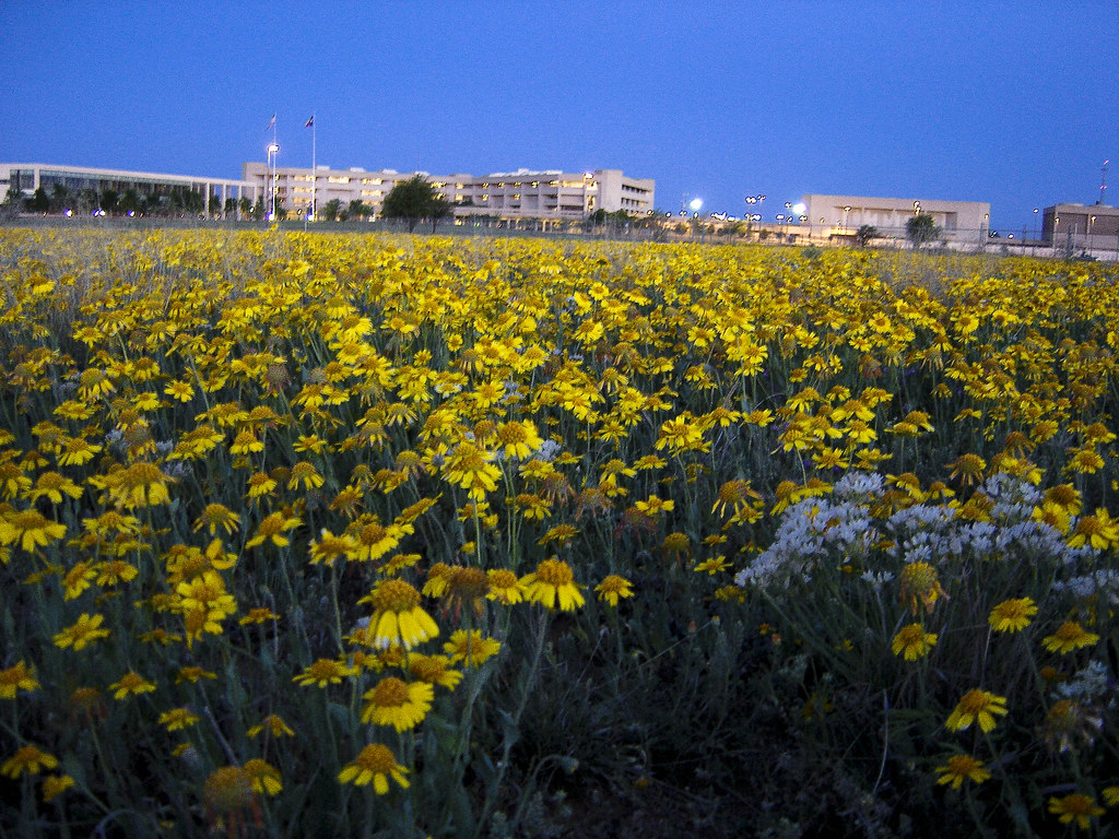
Flower Fields UTPB

Dec 1, 2014 Odessa Tx. 1800 hrs
Topographic Map of E San Benito Dr, Odessa, TX, USA
Find elevation by address:

Places near E San Benito Dr, Odessa, TX, USA:
OIDC Dr, Odessa, TX, USA
Flint Energy Services
2301 Production St
E Pool Rd, Odessa, TX, USA
Chukar Run
99 Chukar Run
3117 Tanglewood Ln
Wink Ave, Odessa, TX, USA
Odessa
22 Emerald Gardens Dr, Odessa, TX, USA
Robbie Rd, Odessa, TX, USA
17 Laurel Valley Dr
Summer Ave, Odessa, TX, USA
Faudree Rd, Odessa, TX, USA
Windsor Drive
S County Rd W, Odessa, TX, USA
3111 Windsor Dr
1301 Dotsy Ave
2003 Andrews Hwy
Williams Ave, Odessa, TX, USA
Recent Searches:
- Elevation of Corso Fratelli Cairoli, 35, Macerata MC, Italy
- Elevation of Tallevast Rd, Sarasota, FL, USA
- Elevation of 4th St E, Sonoma, CA, USA
- Elevation of Black Hollow Rd, Pennsdale, PA, USA
- Elevation of Oakland Ave, Williamsport, PA, USA
- Elevation of Pedrógão Grande, Portugal
- Elevation of Klee Dr, Martinsburg, WV, USA
- Elevation of Via Roma, Pieranica CR, Italy
- Elevation of Tavkvetili Mountain, Georgia
- Elevation of Hartfords Bluff Cir, Mt Pleasant, SC, USA