Elevation of Windsor Drive, Windsor Dr, Odessa, TX, USA
Location: United States > Texas > Ector County > Odessa >
Longitude: -102.35943
Latitude: 31.8753706
Elevation: 898m / 2946feet
Barometric Pressure: 91KPa
Elevation Map:
Satellite Map:
Related Photos:

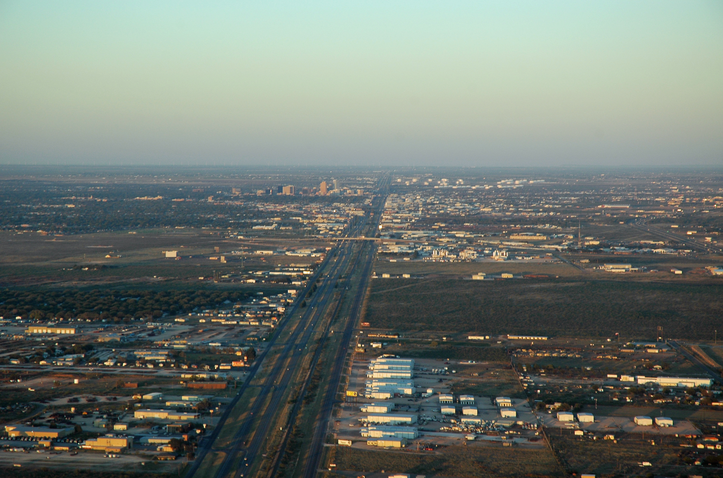
Odessa, TX

Startling view looking up at the security cameras. Almost amphibious and somewhat alien.
Midland, Texas
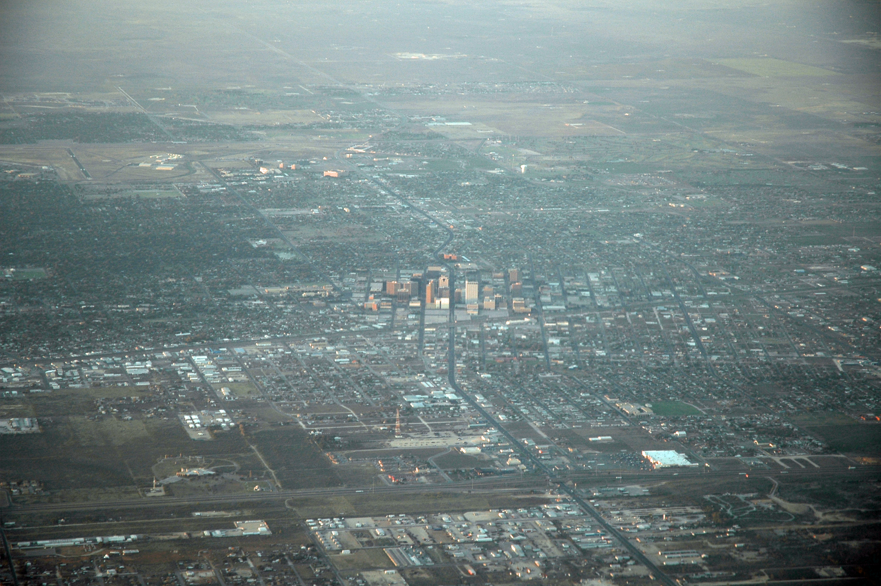
View of Midland

"Diamond Lil"

Departing Midland
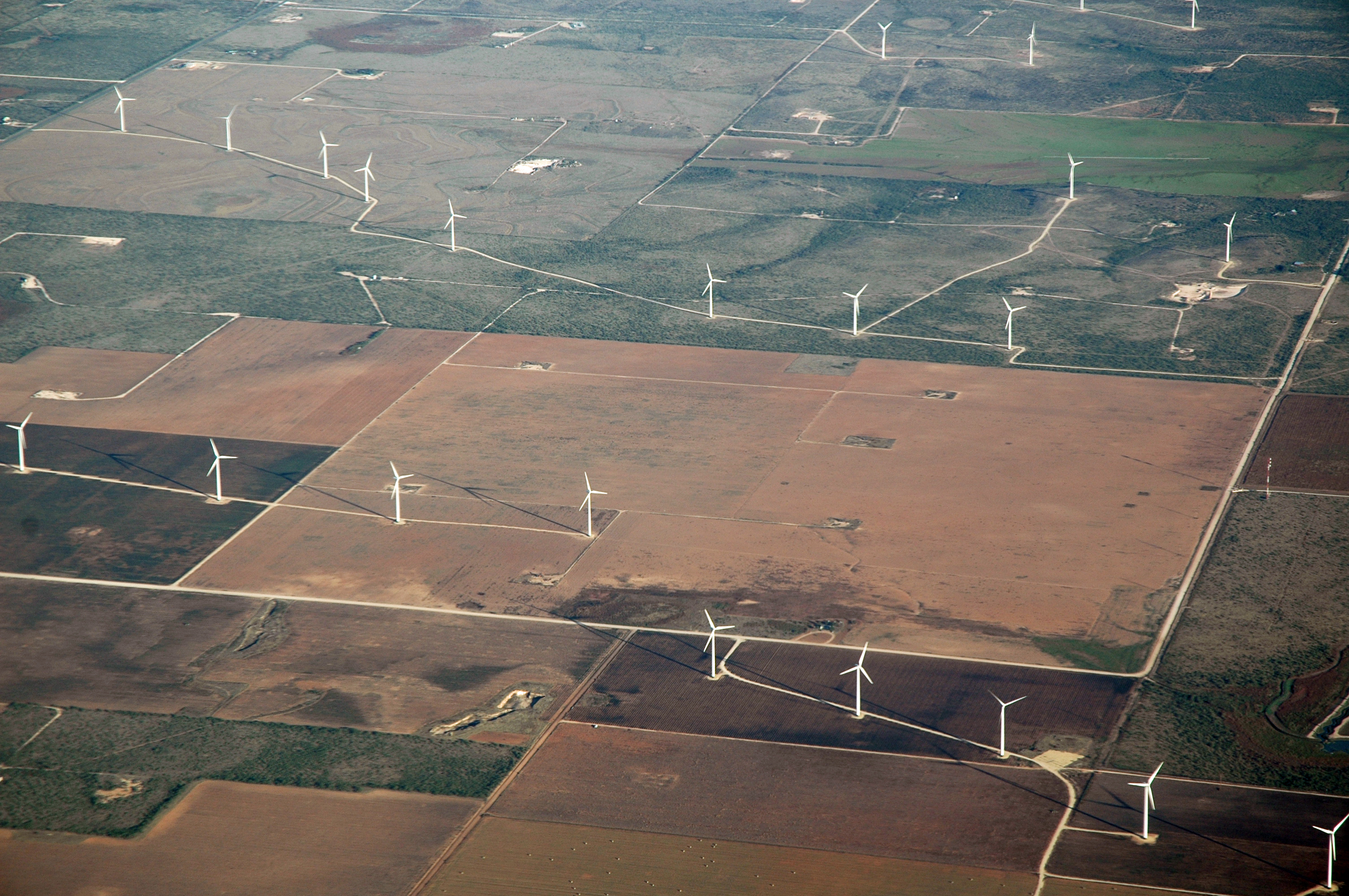
Wind Farms
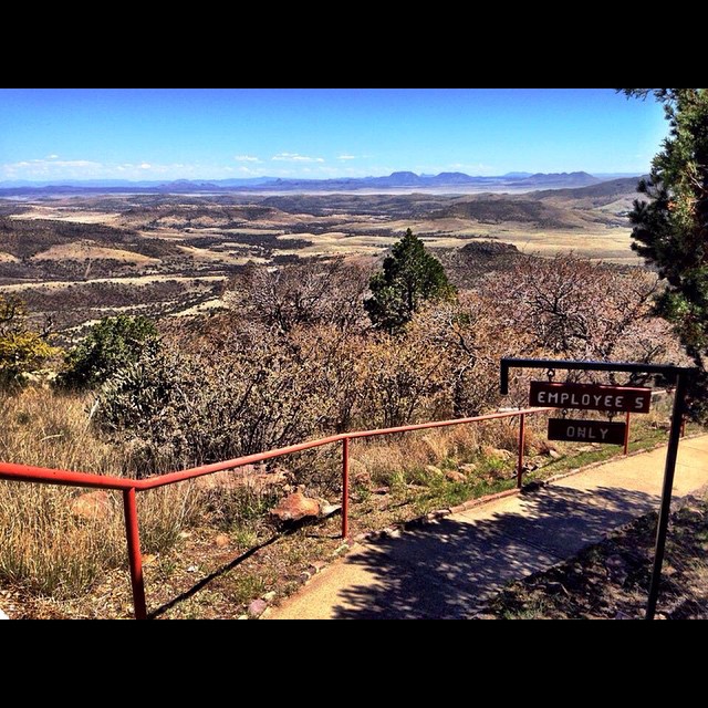
View from the top of Mt. Locke. #igtexas #FtDavis

It has been a busy several weeks with photo projects of all kinds, this was my office last night. #photography #texas #texasfootball #fridaynightlights #iphone7plus #ilovebeingaphotographer

Switching. Through the trees.

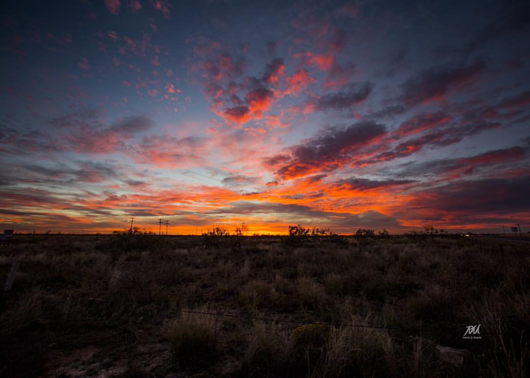
Odessa, July 2018
Here is the final image. #photosbyrichard #NightSky #night #stars #star #west #texas #westtexas #sunset @weatherchannel @ilovetexasphoto @instagramtexas
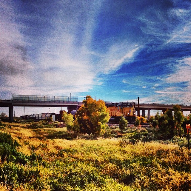
Along the tracks. Odessa TX
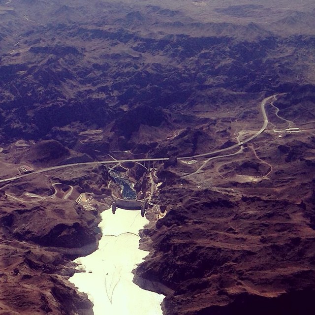
Lake Mead in the foreground. Hoover dam and the highway bypass bridge in the distance. #iphone #southwest #airplaneshot

Buffalo Wallow #odessa #texas
What do you #think about this @adventuregirltx ? It is #freezing but the #landscape is #beautiful! #TioRV #TravelMyPlanet
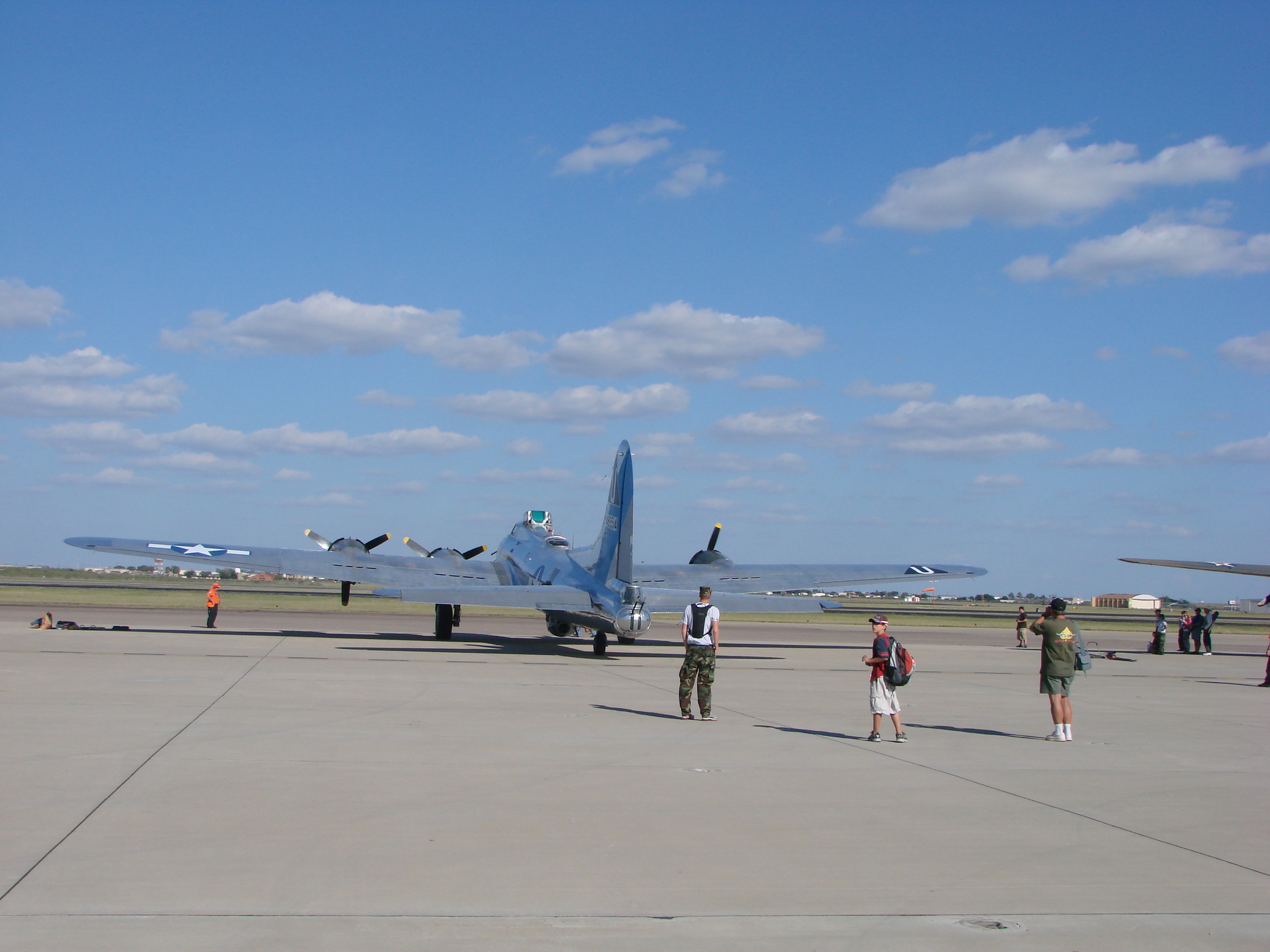
B-17

the entourage
West Texas Green Space
What a day to fly.
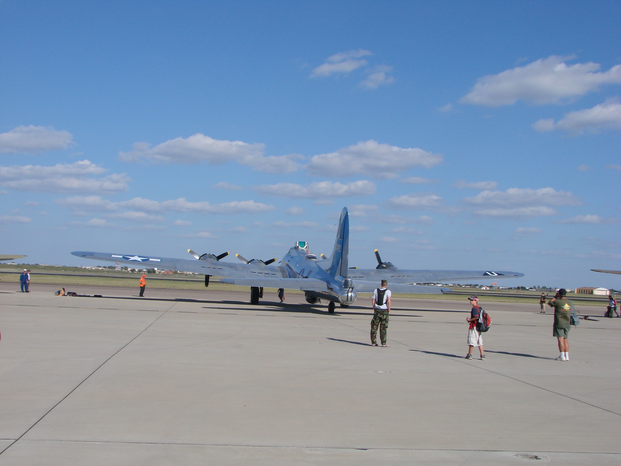
Boeing B-17

Nice Day

Odessa, July 2018

Dec 1, 2014 Odessa Tx. 1800 hrs

Spring blooms along the highways of West Texas.
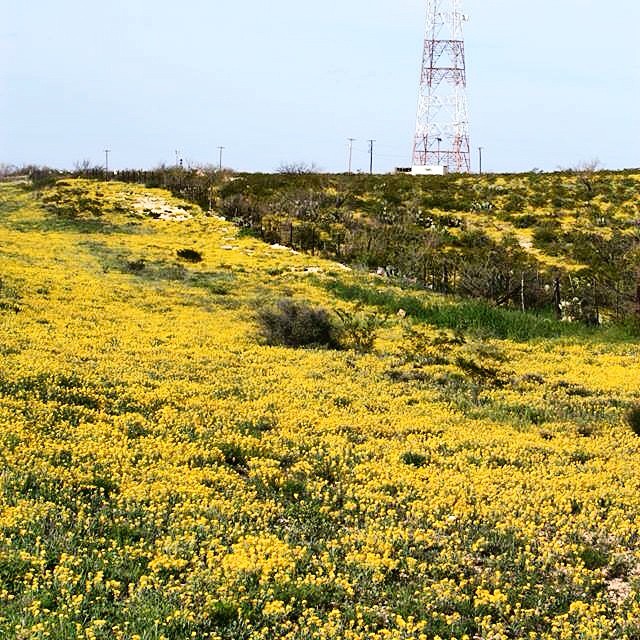
Spring is yellow in West Texas. #igtexas #iphone #spring

That moment when you've waited months to do a vertical landscape and the moon is a no show. #photosbyrichard
Topographic Map of Windsor Drive, Windsor Dr, Odessa, TX, USA
Find elevation by address:

Places near Windsor Drive, Windsor Dr, Odessa, TX, USA:
3111 Windsor Dr
Wink Ave, Odessa, TX, USA
3117 Tanglewood Ln
2003 Andrews Hwy
Odessa Jackalopes
Odessa
1301 Dotsy Ave
Ector Ave, Odessa, TX, USA
W 14th St, Odessa, TX, USA
3160 N County Rd W
2301 Production St
E 63rd St, Odessa, TX, USA
99 Chukar Run
Chukar Run
Flint Energy Services
E Pool Rd, Odessa, TX, USA
Summer Ave, Odessa, TX, USA
8927 Andrews Hwy
OIDC Dr, Odessa, TX, USA
6900 Tumbleweed Ln
Recent Searches:
- Elevation of Elwyn Dr, Roanoke Rapids, NC, USA
- Elevation of Congressional Dr, Stevensville, MD, USA
- Elevation of Bellview Rd, McLean, VA, USA
- Elevation of Stage Island Rd, Chatham, MA, USA
- Elevation of Shibuya Scramble Crossing, 21 Udagawacho, Shibuya City, Tokyo -, Japan
- Elevation of Jadagoniai, Kaunas District Municipality, Lithuania
- Elevation of Pagonija rock, Kranto 7-oji g. 8"N, Kaunas, Lithuania
- Elevation of Co Rd 87, Jamestown, CO, USA
- Elevation of Tenjo, Cundinamarca, Colombia
- Elevation of Côte-des-Neiges, Montreal, QC H4A 3J6, Canada