Elevation of E Old US Highway 64, Lexington, NC, USA
Location: United States > North Carolina > Davidson County > Cotton Grove > Lexington >
Longitude: -80.053259
Latitude: 35.7351217
Elevation: 252m / 827feet
Barometric Pressure: 98KPa
Elevation Map:
Satellite Map:
Related Photos:

Steel Bridge built by the Roanoke Bridge Co.

Front door view

Tabletop view

A Typical Scene

Forgotten but not gone

Forgotten but not gone
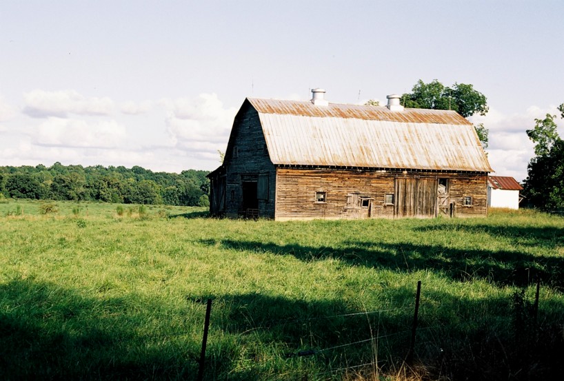
Old Barn

High Rock Lake

120901-4254 Thomasville

120901-4257 Thomasville

Taking in the natural scenery at #ncla Leadership Institute

Side road

The Pond at the Farm

Cedar Tree by Lake in HDR

North Carolina Vietnam Veterans Memorial

Lake at Caraway 2
Topographic Map of E Old US Highway 64, Lexington, NC, USA
Find elevation by address:

Places near E Old US Highway 64, Lexington, NC, USA:
Appaloosa Trail
149 Appaloosa Trail
Old Hwy, Lexington, NC, USA
Watford Road
Emmons
Tabernacle
Conrad Hill
Ben Lee Road
Ben Lee Road
Lee Rd, Thomasville, NC, USA
Mount Shepherd Retreat Center
7078 Courtland Dr
147 Commercial Park Dr
Shepherd Mountain
126 S Cameo Dr
7078 Falcon Way
Cedar Lodge Rd, Thomasville, NC, USA
North Carolina 109
4424 Hunters Run
321 Hunt Master Trail
Recent Searches:
- Elevation of Elwyn Dr, Roanoke Rapids, NC, USA
- Elevation of Congressional Dr, Stevensville, MD, USA
- Elevation of Bellview Rd, McLean, VA, USA
- Elevation of Stage Island Rd, Chatham, MA, USA
- Elevation of Shibuya Scramble Crossing, 21 Udagawacho, Shibuya City, Tokyo -, Japan
- Elevation of Jadagoniai, Kaunas District Municipality, Lithuania
- Elevation of Pagonija rock, Kranto 7-oji g. 8"N, Kaunas, Lithuania
- Elevation of Co Rd 87, Jamestown, CO, USA
- Elevation of Tenjo, Cundinamarca, Colombia
- Elevation of Côte-des-Neiges, Montreal, QC H4A 3J6, Canada