Elevation of Appaloosa Trail, Lexington, NC, USA
Location: United States > North Carolina > Davidson County > Emmons >
Longitude: -80.065127
Latitude: 35.706562
Elevation: 241m / 791feet
Barometric Pressure: 98KPa
Elevation Map:
Satellite Map:
Related Photos:
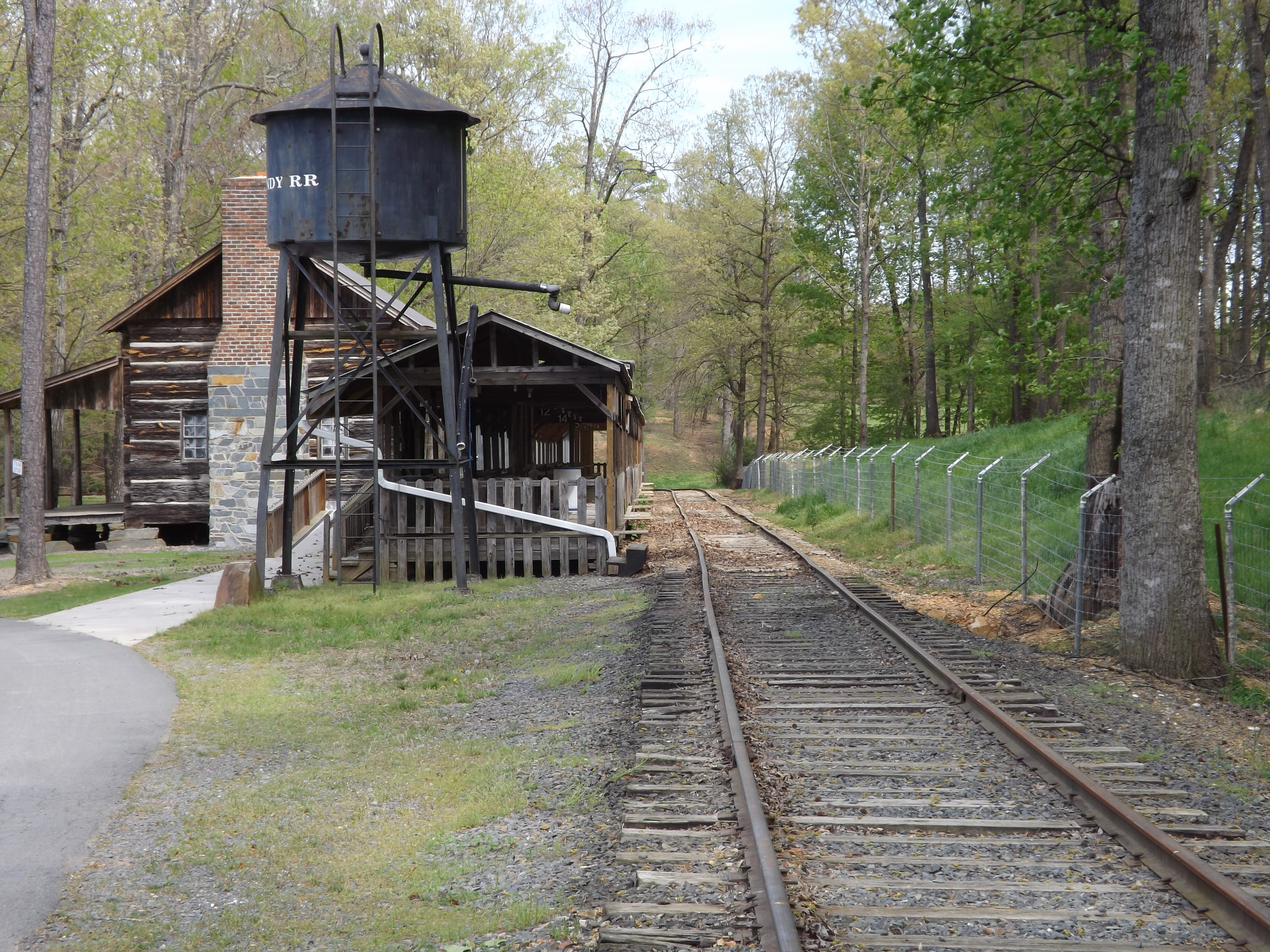
Quiet Station

Sunset at High Rock Lake

Front door view

The last fisherman

Tabletop view

H.R Lake (variation)

High Rock Lake, NC

understanding nature

Mossy slope

Mossy boundary

staking territory

High Rock Lake , NC

Intoxicated by nature

When the drive ends

Property perspective

brave change

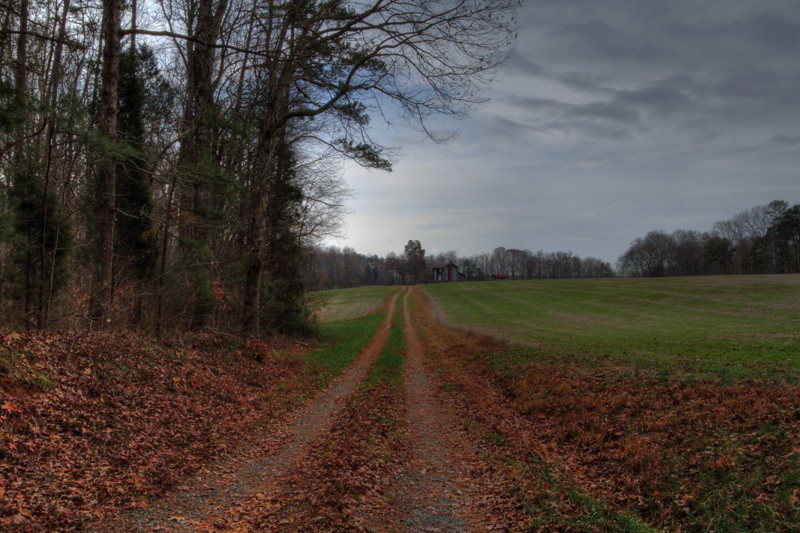
A Typical Scene
Forgotten but not gone

Old Barn

Comfort in Solitude

Forgotten but not gone

High Rock Lake, NC

High Rock Lake

local trek

High Rock Lake, NC

Cedar Tree by Lake in HDR
Topographic Map of Appaloosa Trail, Lexington, NC, USA
Find elevation by address:

Places near Appaloosa Trail, Lexington, NC, USA:
Appaloosa Trail
8030 E Old Us Highway 64
Emmons
Old Hwy, Lexington, NC, USA
Watford Road
Conrad Hill
Tabernacle
Ben Lee Road
Ben Lee Road
Lee Rd, Thomasville, NC, USA
Mount Shepherd Retreat Center
Shepherd Mountain
7078 Courtland Dr
147 Commercial Park Dr
126 S Cameo Dr
Cedar Lodge Rd, Thomasville, NC, USA
7078 Falcon Way
321 Hunt Master Trail
North Carolina 109
4424 Hunters Run
Recent Searches:
- Elevation of Corso Fratelli Cairoli, 35, Macerata MC, Italy
- Elevation of Tallevast Rd, Sarasota, FL, USA
- Elevation of 4th St E, Sonoma, CA, USA
- Elevation of Black Hollow Rd, Pennsdale, PA, USA
- Elevation of Oakland Ave, Williamsport, PA, USA
- Elevation of Pedrógão Grande, Portugal
- Elevation of Klee Dr, Martinsburg, WV, USA
- Elevation of Via Roma, Pieranica CR, Italy
- Elevation of Tavkvetili Mountain, Georgia
- Elevation of Hartfords Bluff Cir, Mt Pleasant, SC, USA