Elevation of E Main St, Suring, WI, USA
Location: United States > Wisconsin > Oconto County >
Longitude: -88.371982
Latitude: 44.9992515
Elevation: 245m / 804feet
Barometric Pressure: 98KPa
Elevation Map:
Satellite Map:
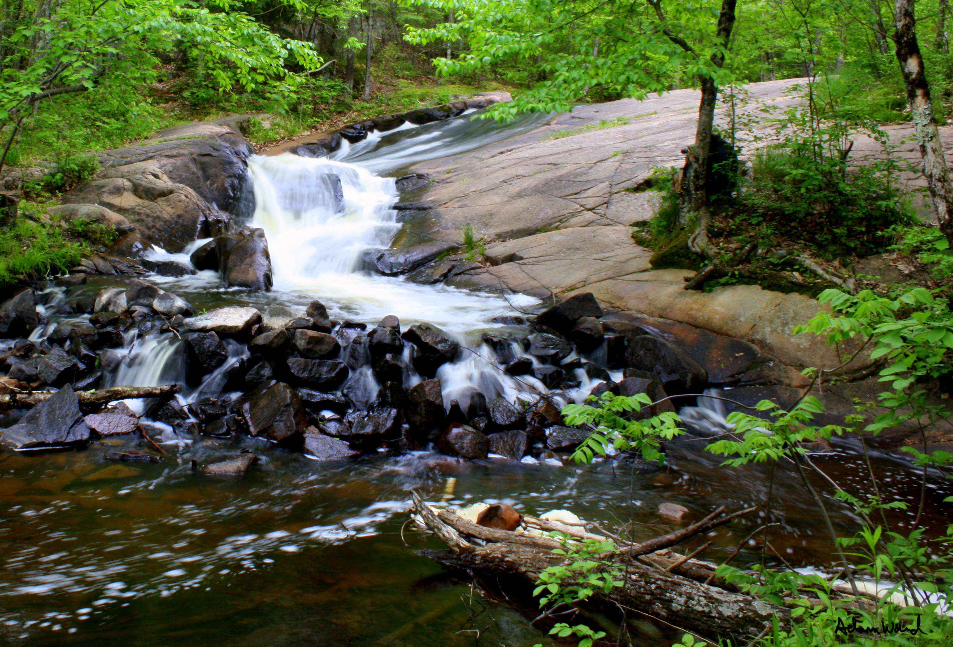
Related Photos:
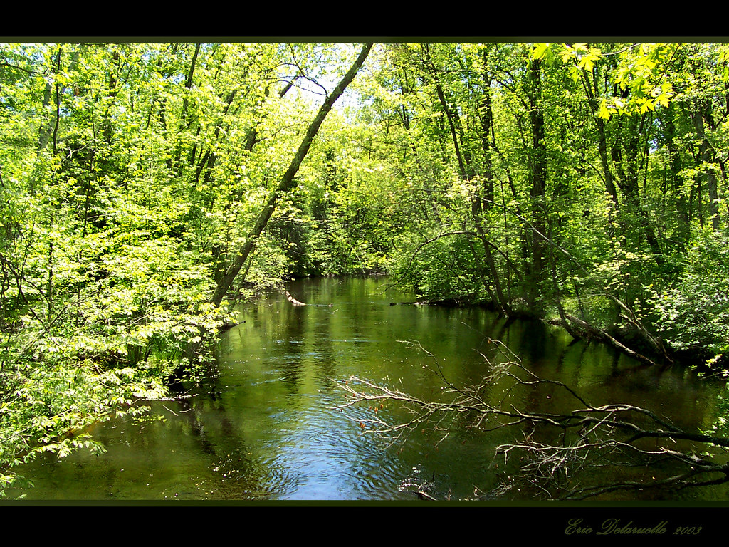
View from Bridge
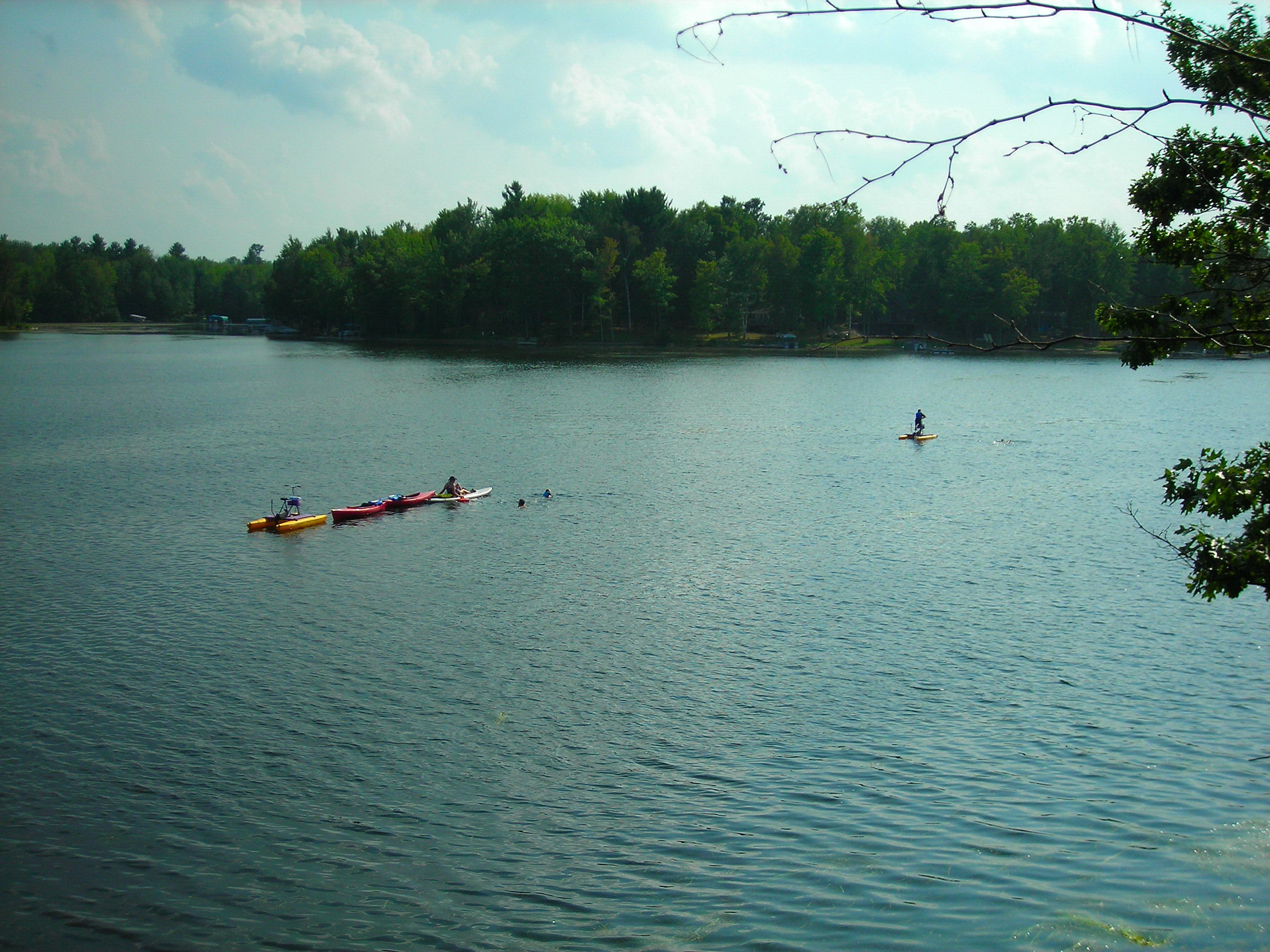
Lake View

Start of Relaxation

2011-07-04 - Modified Tri-Hull
chute park campground

chute park campground

2011-07-14 - Start of Relaxation
Land of Sky Blue Waters

Lily and Lily Pads

Fall Trail
Slipprey Rock

Fall Colors

old barn

20130805-IMG_1729.jpg

Dirt Road

Corner 2

orchid, Chute Pond, Marinette, WI, 1993_07_27 001.jpg
Topographic Map of E Main St, Suring, WI, USA
Find elevation by address:

Places near E Main St, Suring, WI, USA:
11290 Claywood Rd
Maple Valley
Underhill
Underhill
Gillett
County Rd E, Oconto Falls, WI, USA
Spruce
Washington
Wisconsin 32
Cecil
WI-, Bonduel, WI, USA
W5681 N Shore Dr
4288 Co Hwy C
Morgan
Oconto Falls
S Main St, Oconto Falls, WI, USA
WI-32, Krakow, WI, USA
Krakow
4216 Elm Lawn Rd
4288 Elm Lawn Rd
Recent Searches:
- Elevation of Dog Leg Dr, Minden, NV, USA
- Elevation of Dog Leg Dr, Minden, NV, USA
- Elevation of Kambingan Sa Pansol Atbp., Purok 7 Pansol, Candaba, Pampanga, Philippines
- Elevation of Pinewood Dr, New Bern, NC, USA
- Elevation of Mountain View, CA, USA
- Elevation of Foligno, Province of Perugia, Italy
- Elevation of Blauwestad, Netherlands
- Elevation of Bella Terra Blvd, Estero, FL, USA
- Elevation of Estates Loop, Priest River, ID, USA
- Elevation of Woodland Oak Pl, Thousand Oaks, CA, USA