Elevation of Oconto Falls, WI, USA
Location: United States > Wisconsin > Oconto County >
Longitude: -88.142879
Latitude: 44.8738805
Elevation: 227m / 745feet
Barometric Pressure: 99KPa
Elevation Map:
Satellite Map:
Related Photos:

View from across the road.

Triple Rainbow

Triple Rainbow

Sunrise 12-24-11

Fall Trail

Wisconsin farmland 3
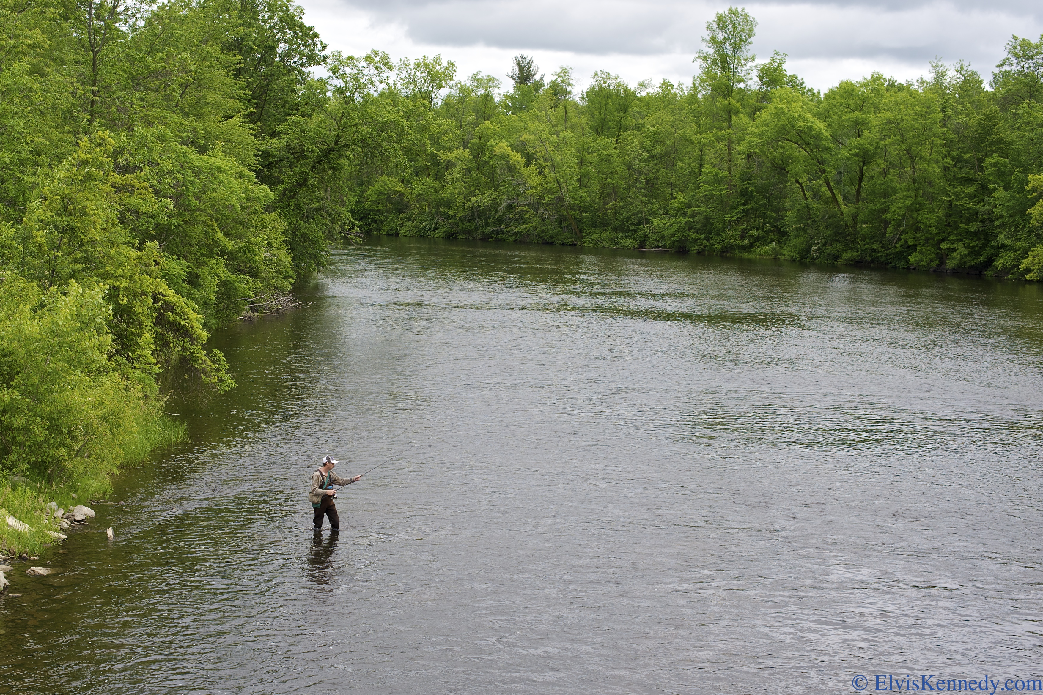
#35 Flyfishing

Wisconsin farmland 1

old barn

Chickweed Geometer (Haematopis grataria)

orchid, Chute Pond, Marinette, WI, 1993_07_27 001.jpg

Wisconsin farmland 2
Topographic Map of Oconto Falls, WI, USA
Find elevation by address:

Places in Oconto Falls, WI, USA:
Places near Oconto Falls, WI, USA:
S Main St, Oconto Falls, WI, USA
4288 Timberline Cir
4216 Timberline Cir
4200 Timberline Cir
4288 Elm Lawn Rd
4216 Elm Lawn Rd
4288 Co Hwy C
Morgan
8281 Wahl Ln
Spruce
Wisconsin 32
County Rd E, Oconto Falls, WI, USA
5994 Cedar St
County Hwy A, Lena, WI, USA
Lena
Oconto County
WI-32, Krakow, WI, USA
Krakow
County Road J
N4790 Largo Ln
Recent Searches:
- Elevation of 7 Waterfall Way, Tomball, TX, USA
- Elevation of SW 57th Ave, Portland, OR, USA
- Elevation of Crocker Dr, Vacaville, CA, USA
- Elevation of Pu Ngaol Community Meeting Hall, HWHM+3X7, Krong Saen Monourom, Cambodia
- Elevation of Royal Ontario Museum, Queens Park, Toronto, ON M5S 2C6, Canada
- Elevation of Groblershoop, South Africa
- Elevation of Power Generation Enterprises | Industrial Diesel Generators, Oak Ave, Canyon Country, CA, USA
- Elevation of Chesaw Rd, Oroville, WA, USA
- Elevation of N, Mt Pleasant, UT, USA
- Elevation of 6 Rue Jules Ferry, Beausoleil, France