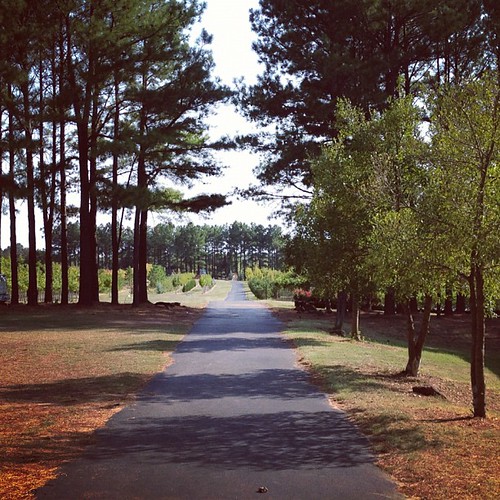
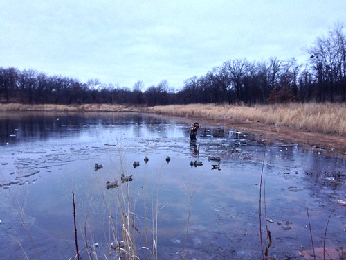
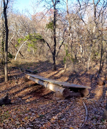
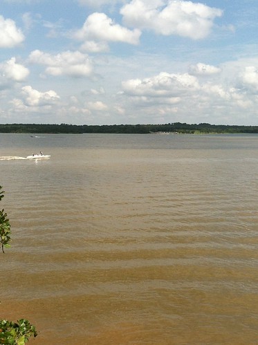
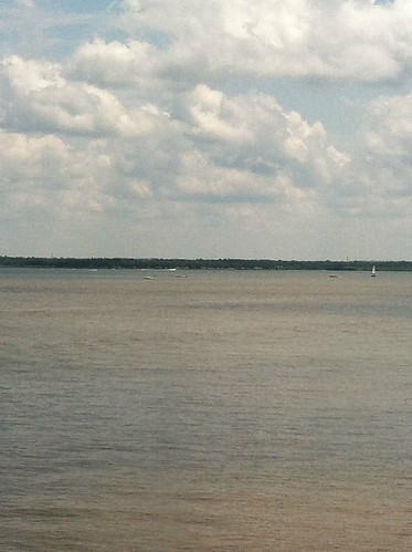
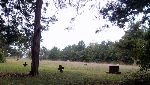
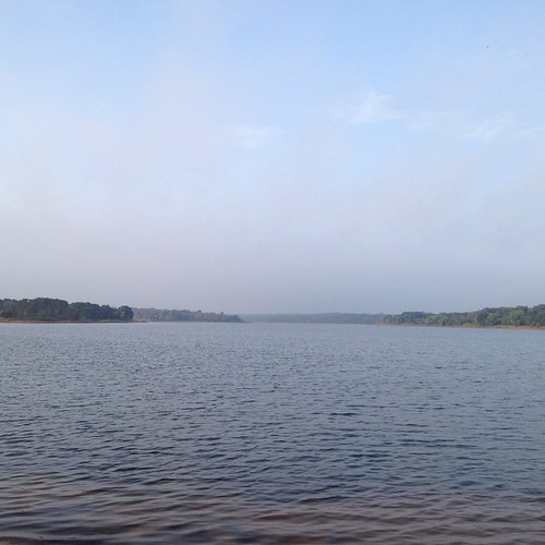
Elevation of E Imhoff Rd, Norman, OK, USA
Location: United States > Oklahoma > Cleveland County > Norman >
Longitude: -97.184217
Latitude: 35.187025
Elevation: 325m / 1066feet
Barometric Pressure: 97KPa
Related Photos:
Topographic Map of E Imhoff Rd, Norman, OK, USA
Find elevation by address:

Places near E Imhoff Rd, Norman, OK, USA:
13292 Norris Cir
13292 Norris Cir
SE Peebly Rd, Newalla, OK, USA
20800 Se 134th St
Cleveland County
14032 Se 110th St
Southeast Oklahoma City
2700 36th Ave Ne
2700 36th Ave Ne
2210 Kimball Dr
Cottonwood Rd, Norman, OK, USA
2103 Beaumont Dr
Cottages Of Norman
801 Alameda St
1131 Shadowlake Rd
2701 Wyandotte Way
Original Townsite
1008 Shadowlake Rd
1000 Shadowlake Rd
333 E Brooks St
Recent Searches:
- Elevation of Tenjo, Cundinamarca, Colombia
- Elevation of Côte-des-Neiges, Montreal, QC H4A 3J6, Canada
- Elevation of Bobcat Dr, Helena, MT, USA
- Elevation of Zu den Ihlowbergen, Althüttendorf, Germany
- Elevation of Badaber, Peshawar, Khyber Pakhtunkhwa, Pakistan
- Elevation of SE Heron Loop, Lincoln City, OR, USA
- Elevation of Slanický ostrov, 01 Námestovo, Slovakia
- Elevation of Spaceport America, Co Rd A, Truth or Consequences, NM, USA
- Elevation of Warwick, RI, USA
- Elevation of Fern Rd, Whitmore, CA, USA


