Elevation of E Dublin Pike, Straughn, IN, USA
Location: United States > Indiana > Henry County > Dudley Township > New Lisbon >
Longitude: -85.263105
Latitude: 39.8632942
Elevation: 337m / 1106feet
Barometric Pressure: 97KPa
Elevation Map:
Satellite Map:
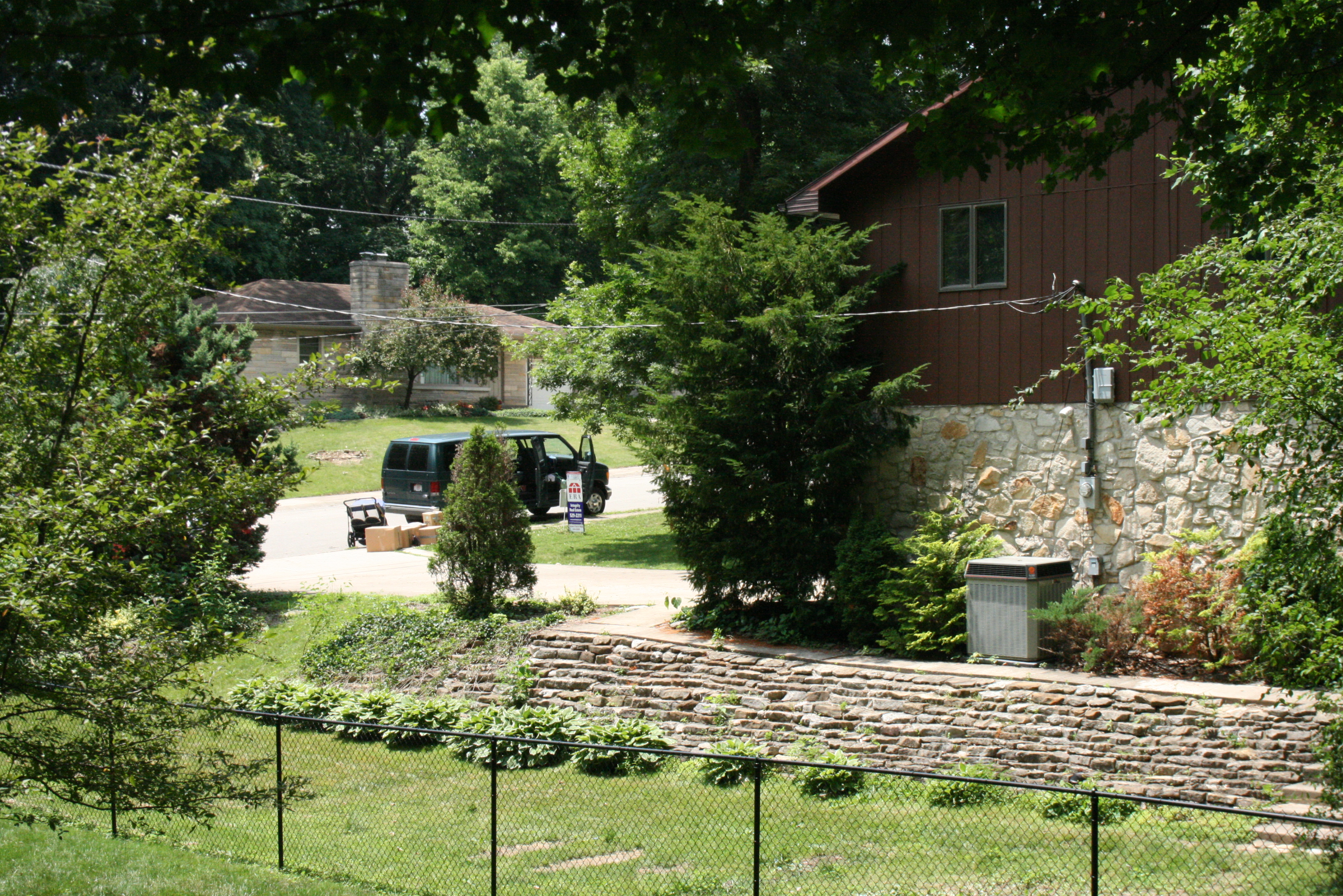
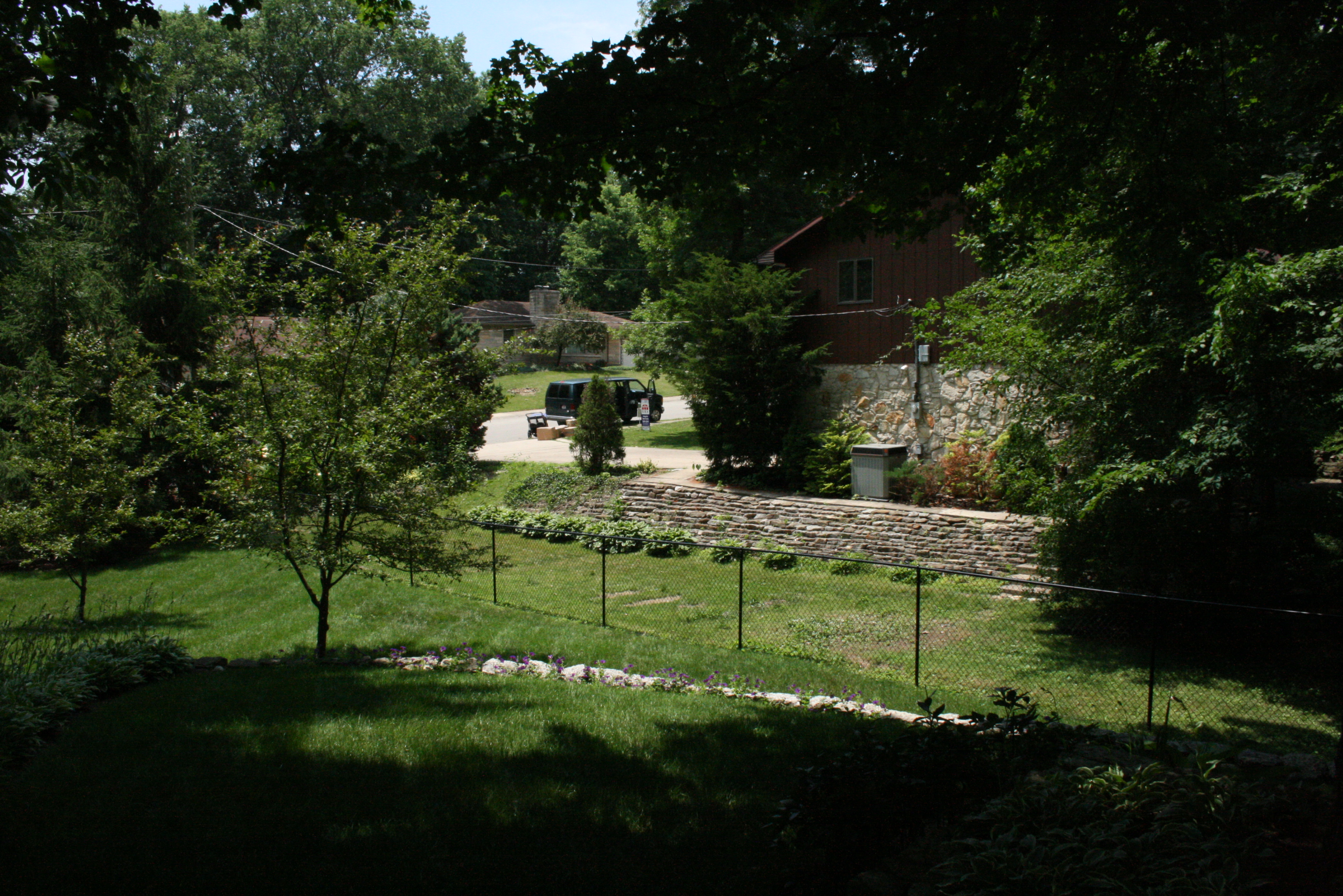
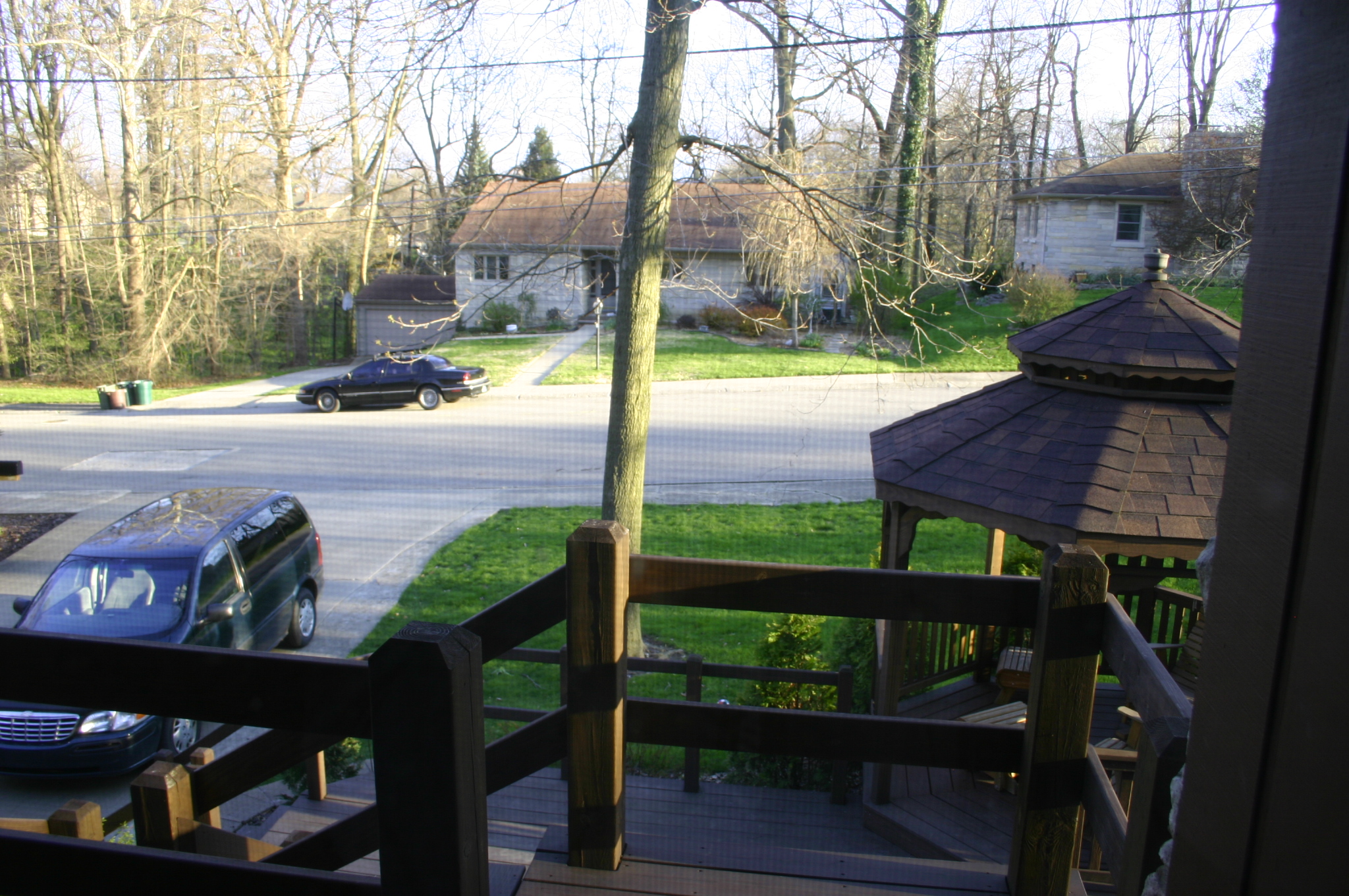
Related Photos:

Traffic jam on interstate in rear view mirror

Huddleston Farmhouse - Southeast view

Huddleston Farmhouse - View from the South

Cambridge City's New Library
2009_Szomszéd_052
2009_Szomszéd_051
2007ápr_ÚjOtthon_9918
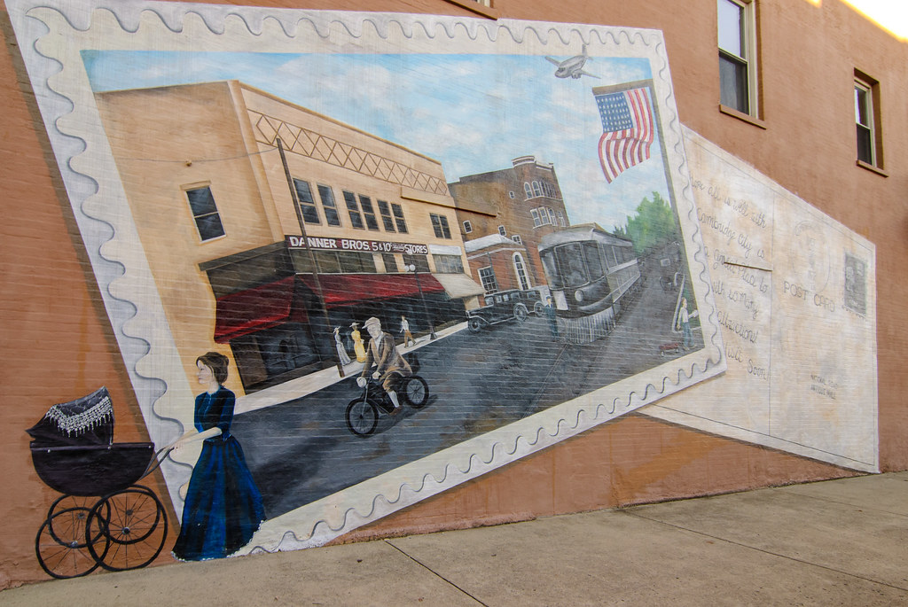
Postcard Mural in Cambridge City, Indiana

Little Blue Ball On A Big Blue Ball
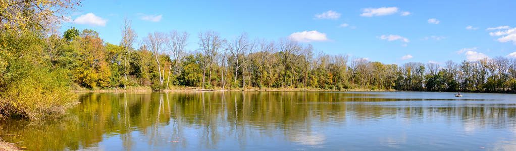
Martindale State Fishing Area

Look for the spear....and you might find a bull

It only takes a spark ...

Fire in the sky!

Fire in the sky

The heavens declare the glory of God ...
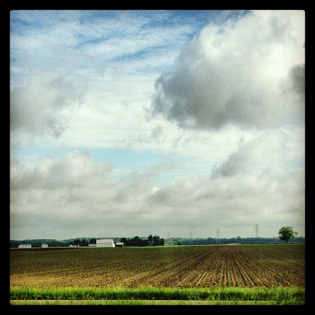
If you look at this picture 300 times, you have pretty much experienced a car ride through Indiana. #roadtrip

Beautiful sunset on our way back to Ohio!

Flooding in Wayne County, Indiana

Hagerstown Flying Circus 2015

Hagerstown Airport Runway

2014 Hagerstown Flying Circus

Visiting Aircraft

Ice on Nettle Creek
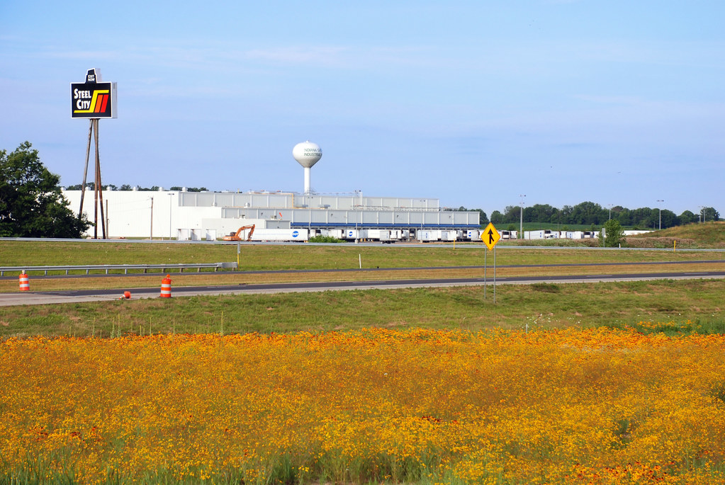
Wildflowers along I-70
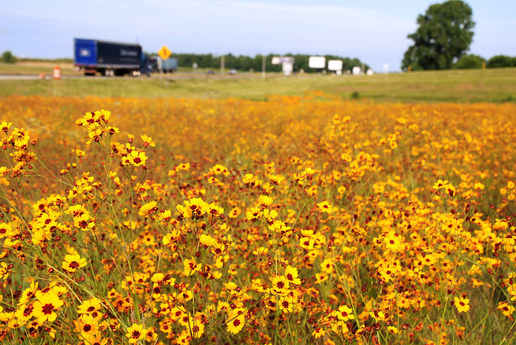
Wildflowers along I-70

Balloons Over the Runway

Dairy Barn
Topographic Map of E Dublin Pike, Straughn, IN, USA
Find elevation by address:

Places near E Dublin Pike, Straughn, IN, USA:
New Lisbon
Dudley Township
Liberty Township
8871 E County Rd 200 S
Straughn
Washington St, Straughn, IN, USA
S Wilbur Wright Rd, New Castle, IN, USA
Dublin
E Dublin Pike, New Castle, IN, USA
S Messick Rd, New Castle, IN, USA
Chestnut St, Cambridge City, IN, USA
Jefferson Township
Cambridge City
Lewisville
S 1st St, Wilkinson, IN, USA
Jackson Township
52 W Main St, Hagerstown, IN, USA
Hagerstown
Cambridge Square 2 Apartments
Franklin Township
Recent Searches:
- Elevation of Kootenai Trail Rd, Bonners Ferry, ID, USA
- Elevation of Hickory Blvd, Bonita Springs, FL, USA
- Elevation of Lalagbene, Bayelsa, Nigeria
- Elevation of Ogbosuware Health Centre, 2WWJ+4PJ, Lalagbene, Bayelsa, Nigeria
- Elevation of Duckhorn Ct, Las Vegas, NV, USA
- Elevation of Garretts Run Rd, Ford City, PA, USA
- Elevation of N WI-55, Freedom, WI, USA
- Elevation map of Hadiya, Ethiopia
- Elevation of Hosaina, Ethiopia
- Elevation of Verde Terrace, North Port, FL, USA