Elevation of Chestnut St, Cambridge City, IN, USA
Location: United States > Indiana > Wayne County > Jackson Township > Cambridge City >
Longitude: -85.189826
Latitude: 39.812737
Elevation: 301m / 988feet
Barometric Pressure: 98KPa
Elevation Map:
Satellite Map:
Related Photos:

Traffic jam on interstate in rear view mirror

Huddleston Farmhouse - Southeast view

Huddleston Farmhouse - View from the South

Cambridge City's New Library
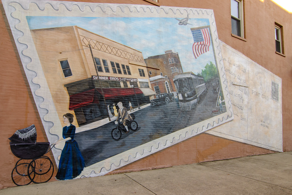
Postcard Mural in Cambridge City, Indiana

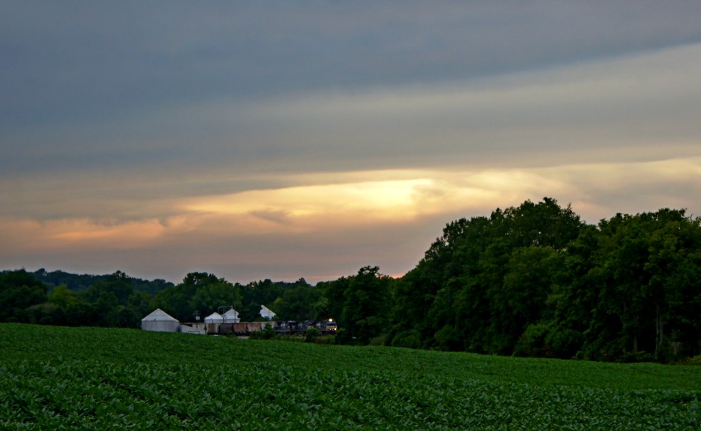
Daybreak In The Field
Weathered and Wise
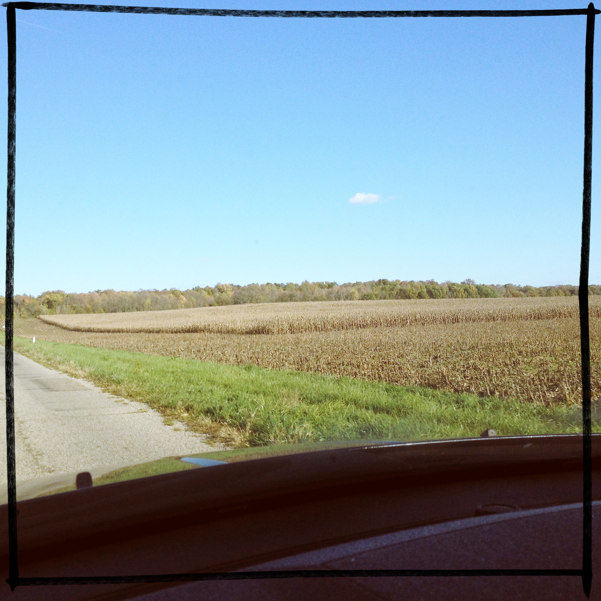
If you look at this picture 300 times, you have pretty much experienced a car ride through Indiana. #roadtrip
In The Fall
Boundary Removed
Martindale State Fishing Area
Where the wild things are.

Truck Transport (DTB_0306)
I'll take you there.
Fall fields

Hagerstown Flying Circus 2015

Flooding in Wayne County, Indiana
_MG_0093.jpg

Hagerstown Airport Runway
Hamilton Farm
Potash Sunset

2014 Hagerstown Flying Circus

Ice on Nettle Creek

Visiting Aircraft

Bright Blue Morning
Topographic Map of Chestnut St, Cambridge City, IN, USA
Find elevation by address:

Places near Chestnut St, Cambridge City, IN, USA:
Cambridge City
Dublin
Cambridge Square 2 Apartments
Jackson Township
Milton
Dudley Township
Washington Township
New Lisbon
E Dublin Pike, Straughn, IN, USA
Jefferson Township
8871 E County Rd 200 S
Straughn
Washington St, Straughn, IN, USA
52 W Main St, Hagerstown, IN, USA
Hagerstown
Whitaker Dr, Milton, IN, USA
Liberty Township
US-40, Milton, IN, USA
W County Rd N, Connersville, IN, USA
Harrison Township
Recent Searches:
- Elevation map of Hadiya, Ethiopia
- Elevation of Hosaina, Ethiopia
- Elevation of Verde Terrace, North Port, FL, USA
- Elevation of US-, Leesburg, FL, USA
- Elevation of Summit Dr, Kerrville, TX, USA
- Elevation of Hanson Rd, Cedaredge, CO, USA
- Elevation of Maxine St NE, Albuquerque, NM, USA
- Elevation of Blattner Rd, Philo, CA, USA
- Elevation of Polzela, Slovenia
- Elevation of Gorod Kislovodsk, Stavropol Krai, Russia