Elevation of E Auburn Ct, Athol, ID, USA
Location: United States > Idaho > Kootenai County > Athol >
Longitude: -116.73546
Latitude: 47.959866
Elevation: 764m / 2507feet
Barometric Pressure: 92KPa
Elevation Map:
Satellite Map:
Related Photos:
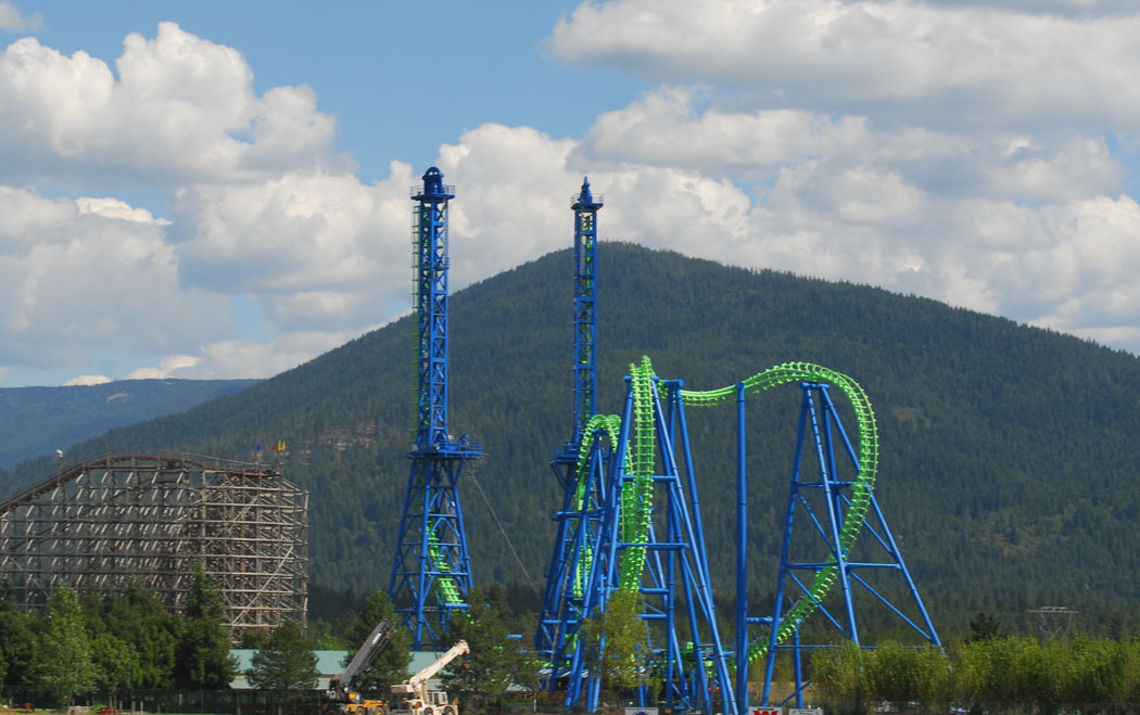
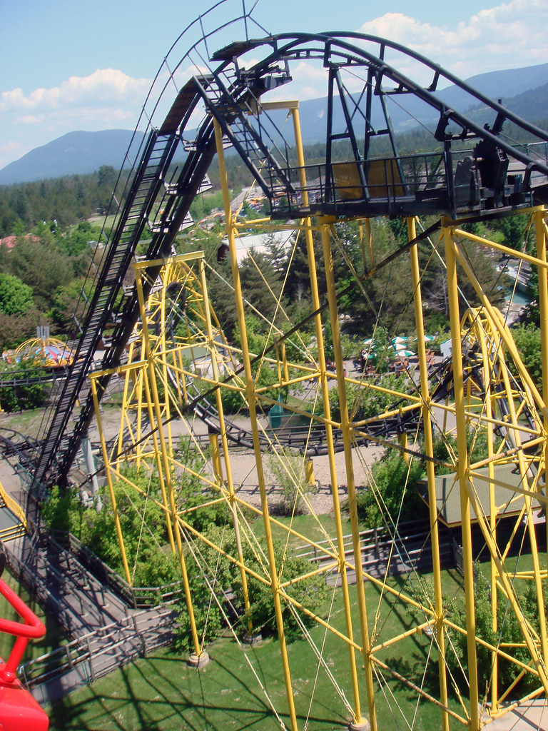
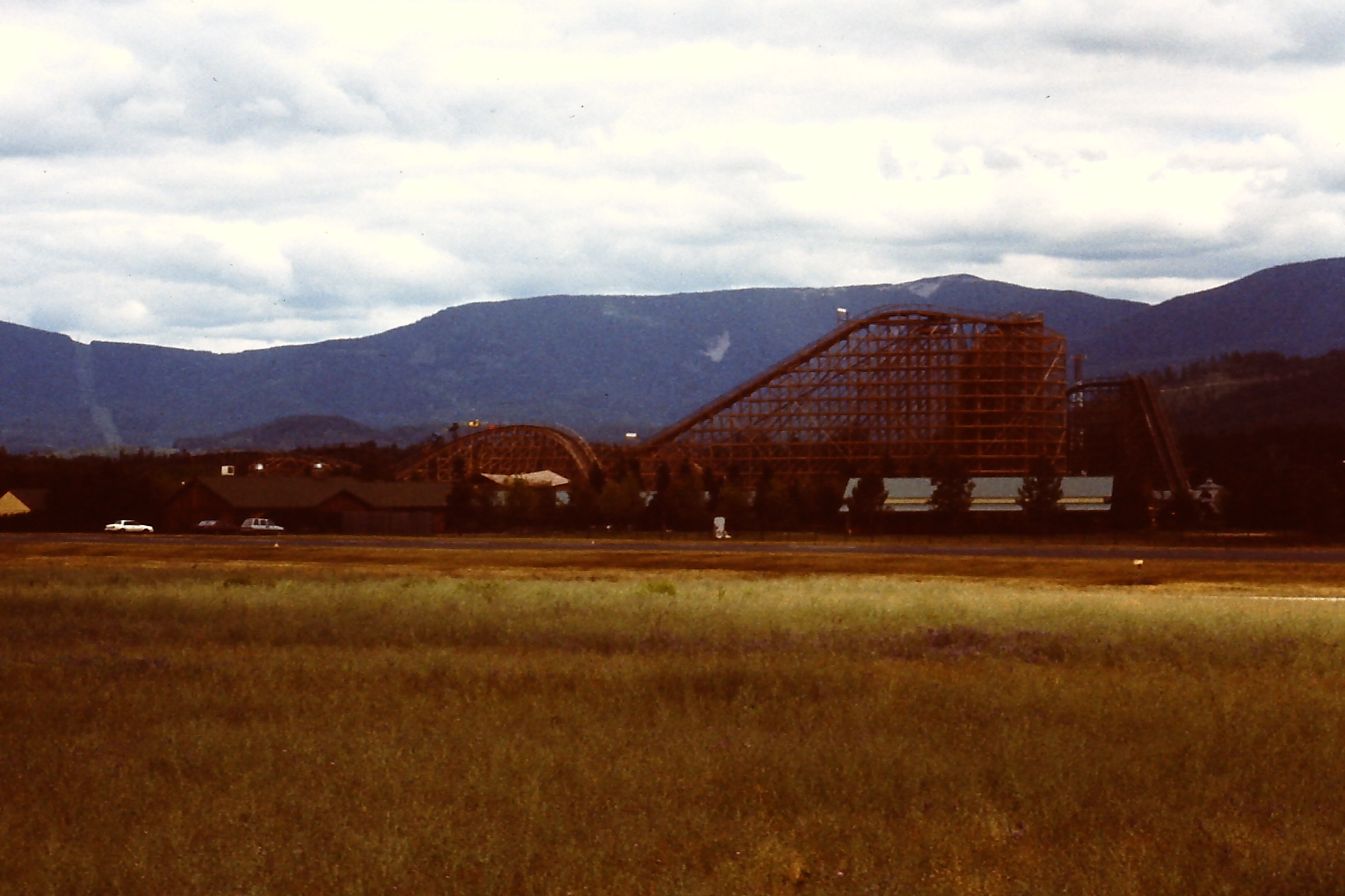
Silverwood Roller Coasters
Great View!

Idaho Sunsets

Frozen Lake Transportation
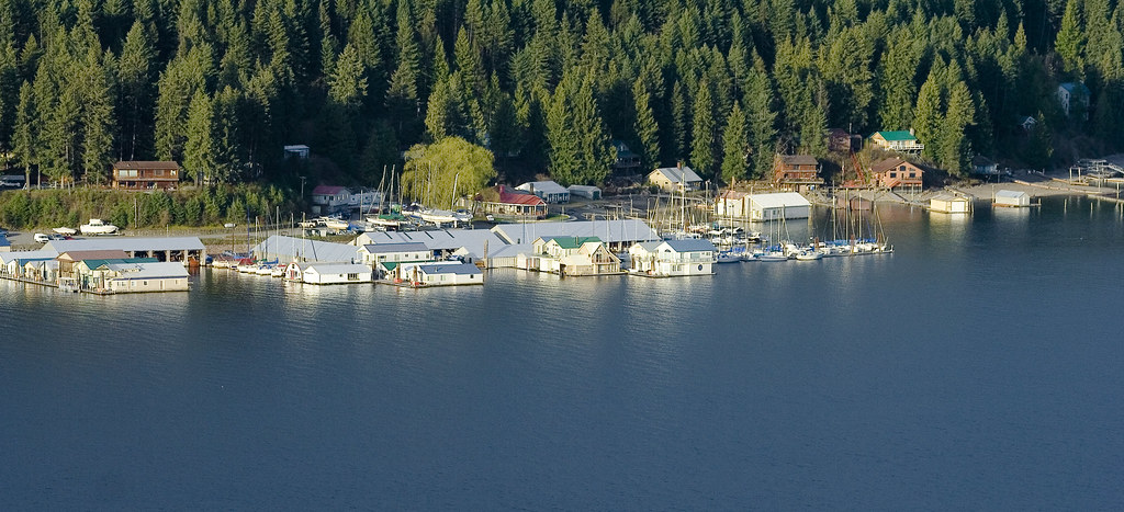
McDonald's Resort, Bayview, ID

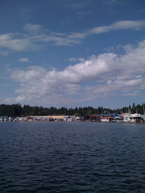
Bayview ID Houseboats_6133
Aug 31, 2008
USSP07181999 - 13

Bayview (HDR)
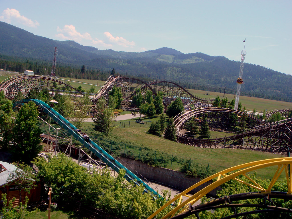
Silverwood 018
Silverwood Tubing River

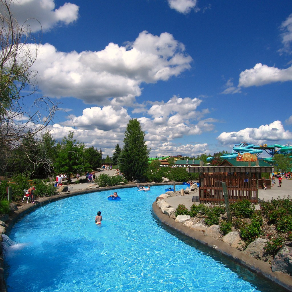
Boulder Beach Water Park

88/366

Stream along Shoreline Trail, Farragut State Park, Idaho
Athol, Aug 31, 2008
Silverwood Amusement Park
Topographic Map of E Auburn Ct, Athol, ID, USA
Find elevation by address:

Places near E Auburn Ct, Athol, ID, USA:
2613 E Brunner Rd
34878 N Kelso Dr
2280 Pine Glen Ct
US-95, Athol, ID, USA
28317 N Fall St
N Ramsey Rd, Rathdrum, ID, USA
North 12th Avenue
10th Avenue
32272 7th Ave
Spirit Lake
E Garwood Rd, Hayden, ID, USA
16515 N Rimrock Rd
West Caroline Drive
21133 N Camper Rd
N Lakeview Blvd, Rathdrum, ID, USA
24044 N Bridge Lake Rd
25875 N Fjord Rd
4882 Id-53
W Twin Lakes Rd, Rathdrum, ID, USA
4657 Christine St
Recent Searches:
- Elevation of SW 57th Ave, Portland, OR, USA
- Elevation of Crocker Dr, Vacaville, CA, USA
- Elevation of Pu Ngaol Community Meeting Hall, HWHM+3X7, Krong Saen Monourom, Cambodia
- Elevation of Royal Ontario Museum, Queens Park, Toronto, ON M5S 2C6, Canada
- Elevation of Groblershoop, South Africa
- Elevation of Power Generation Enterprises | Industrial Diesel Generators, Oak Ave, Canyon Country, CA, USA
- Elevation of Chesaw Rd, Oroville, WA, USA
- Elevation of N, Mt Pleasant, UT, USA
- Elevation of 6 Rue Jules Ferry, Beausoleil, France
- Elevation of Sattva Horizon, 4JC6+G9P, Vinayak Nagar, Kattigenahalli, Bengaluru, Karnataka, India